Taipei City
Introduction: This hike will take you through the hills near Beitou to visit some the areas well-known and lesser known attractions including Battleship Rock and Lover’s Temple.
Access: take the MRT to Shipai station
Length: 9.5km, 3 hours
Difficulty Level: 1/5
Trail Conditions: mostly wide dirt trails, some paved trails, and stairs to Battleship Rock
The Hike
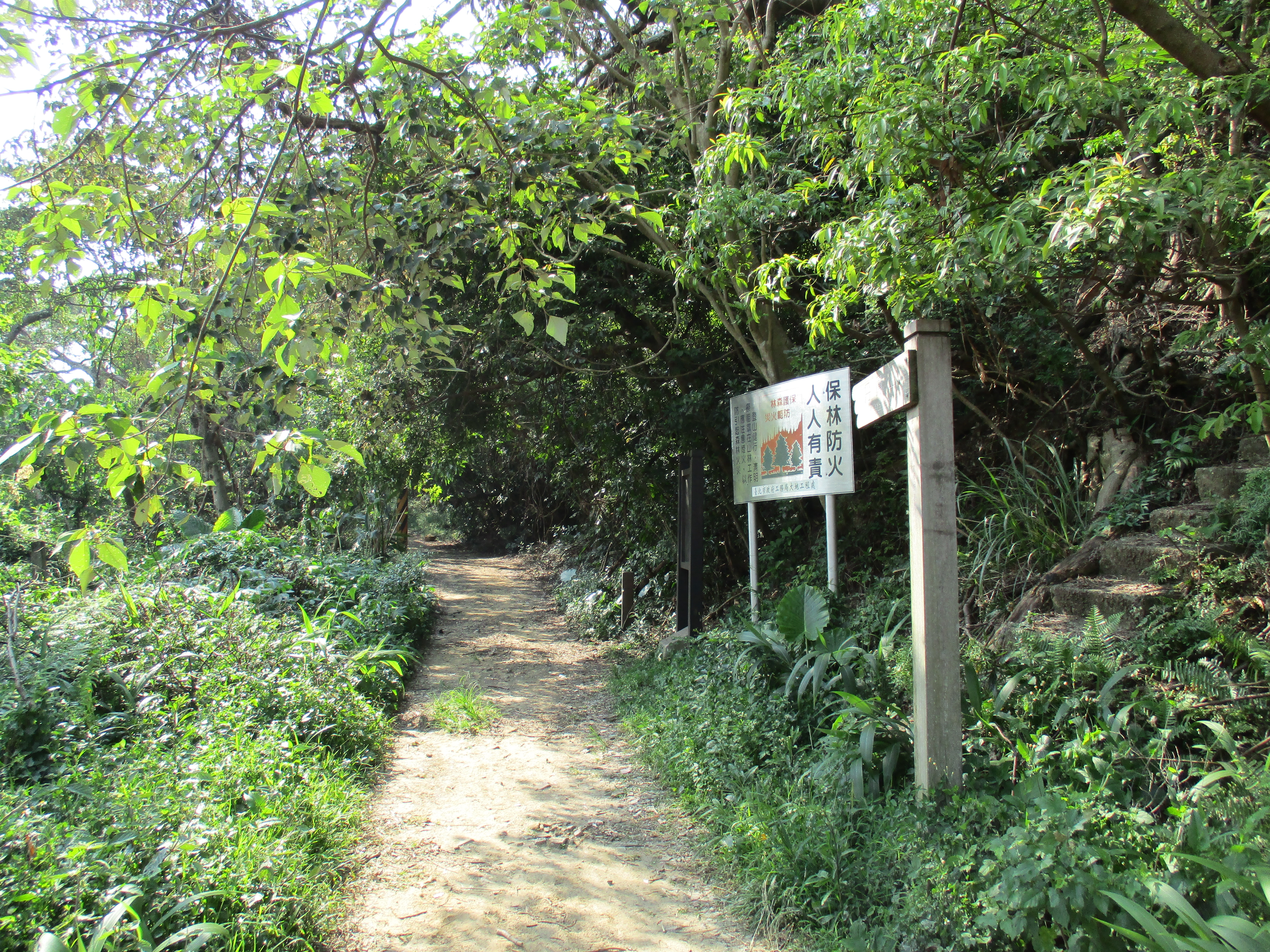
From Shipai station walk north under the tracks towards Qilian station. Turn right then quickly left at the entrance of Yang Ming University. Follow the main road as it climbs up through the university. The start of the trail is well marked, signposted for Mt. Junjianyan.
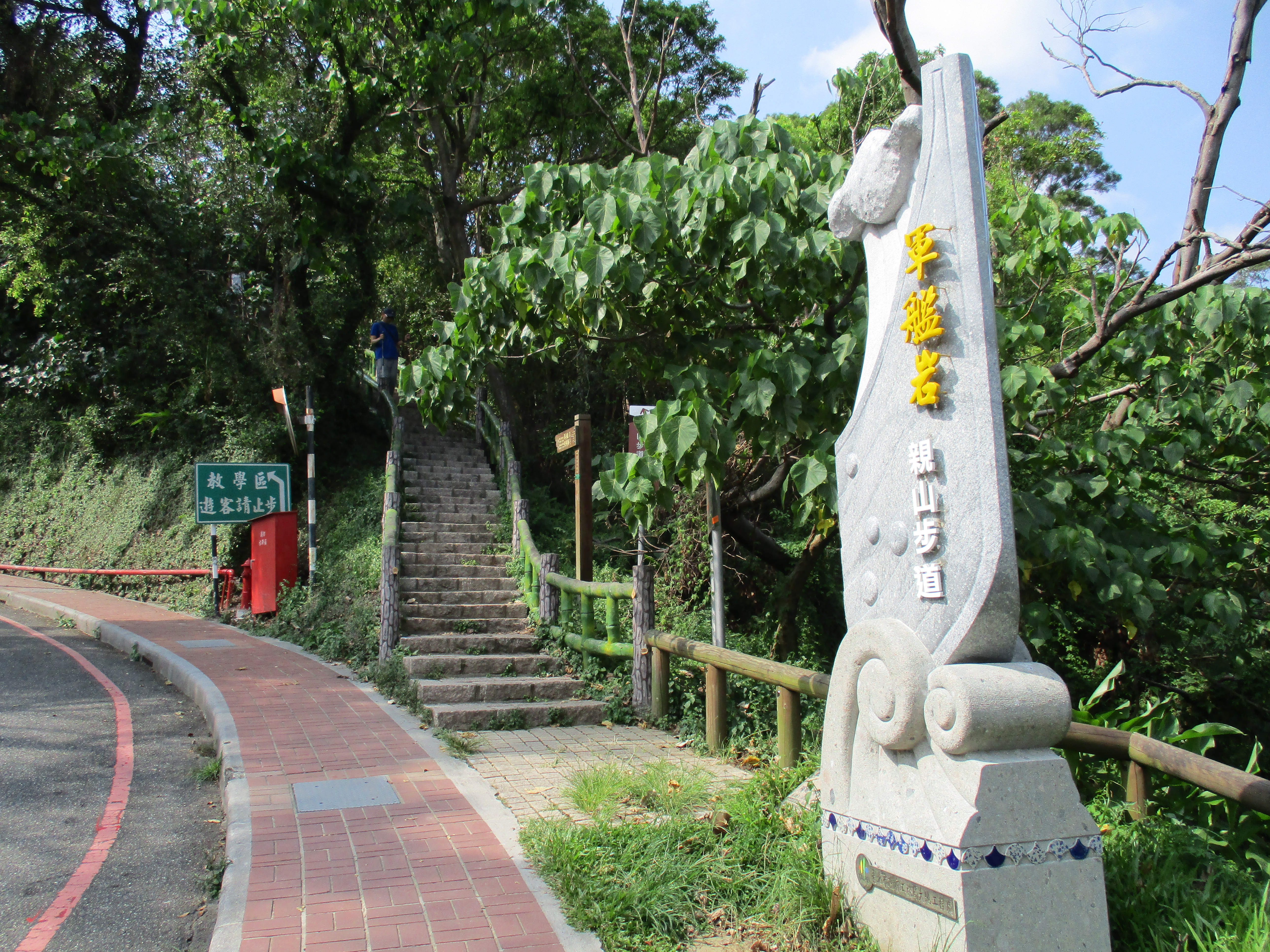
start of the trail
From the start of the trail stairs climb steeply up to Battleship Rock, reaching the rock in about 10 minutes.

climbing up to Battleship Rock
Battleship Rock is a sandstone outcropping on the top of the hill. The rock is a popular spot and there are often people sitting on the top admiring the views.

view of Tienmu from Battleship Rock
Just before the rock is a dirt trail that branches off on the left and follows the top of the ridge, signposted for Zhaoming Temple.

fork left here at the base of Battleship Rock
Follow this trail going along the top of the ridge. Stick with the wide, main trail and ignore any trails branching off.
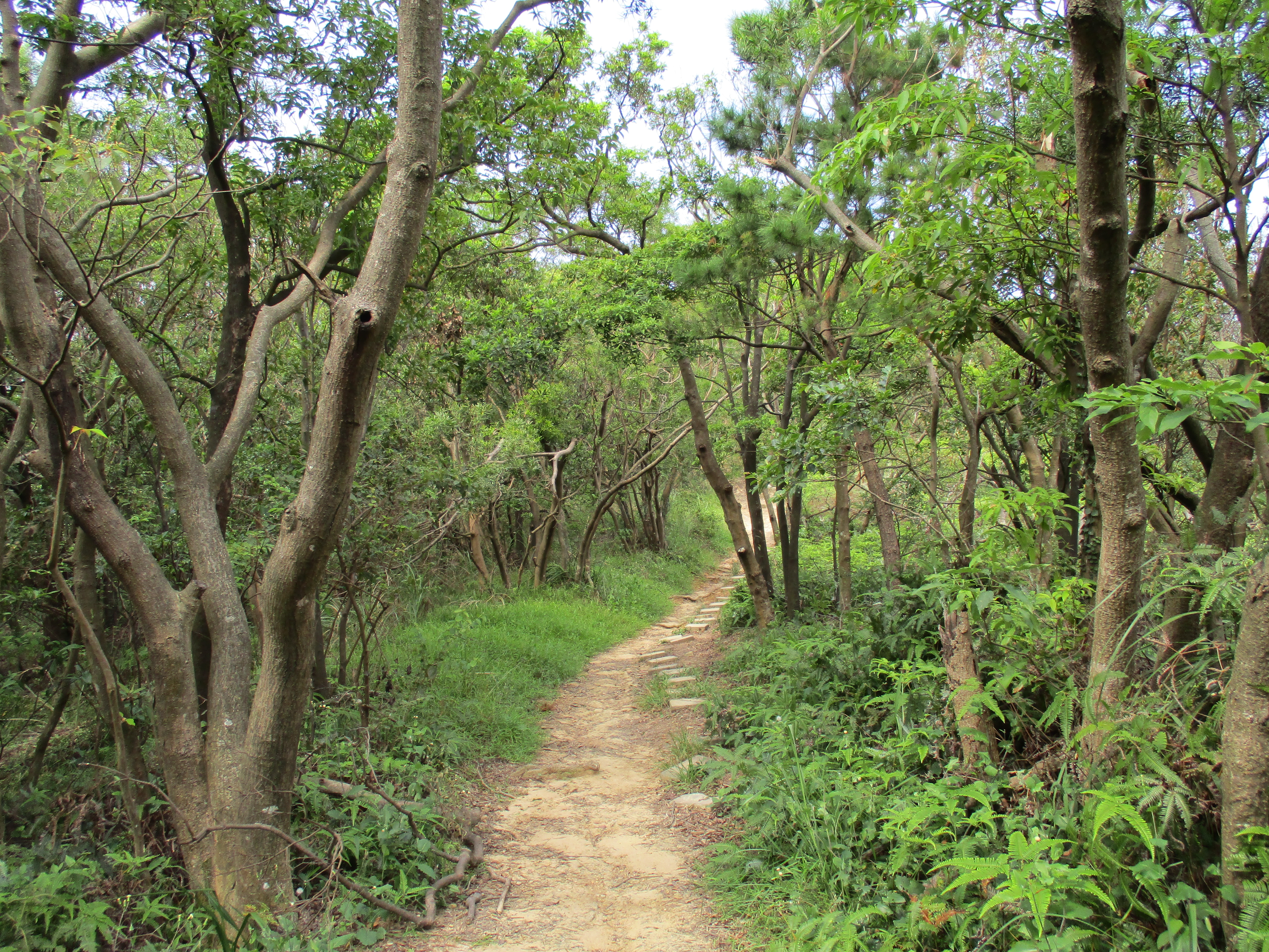
trail leading away from Battleship Rock
Turn left at a trail junction signposted for Chaoming Temple.
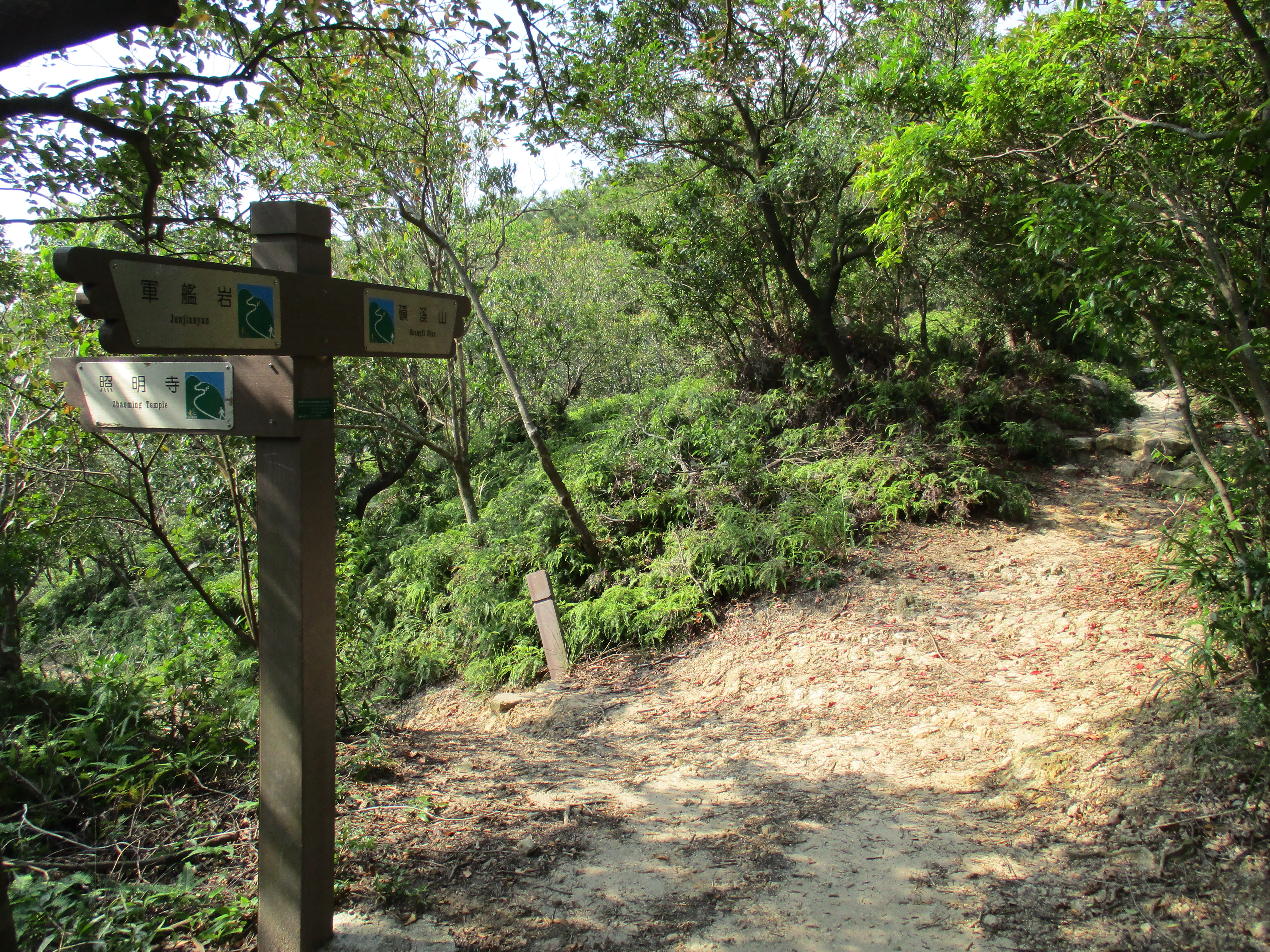
turn left here for Zhaoming Temple
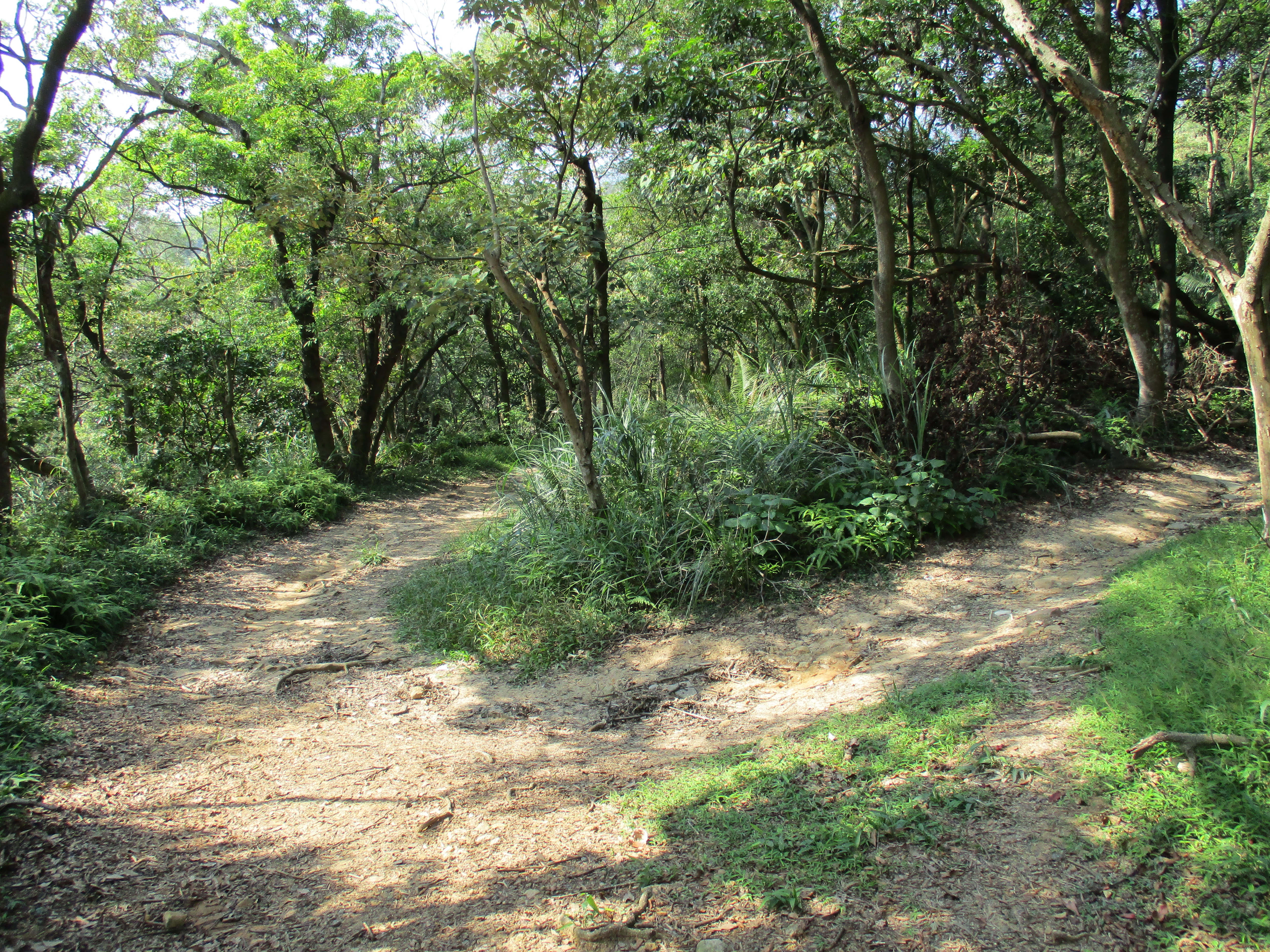
Again, keep following the wide, main trail and ignore any trails branching off. The trail leads down to the temple, making a sharp hairpin turn to the right at one point (ignore the trail branching off on the left here).

trail to Zhaoming Temple
trail to Zhaoming Temple making a sharp right turn
The trail ends at the end of a road at the back of Zhaoming (Lovers) Temple. The main attraction of the temple is its unusual architecture for Taiwan, looking more like a temple from South-East Asia.
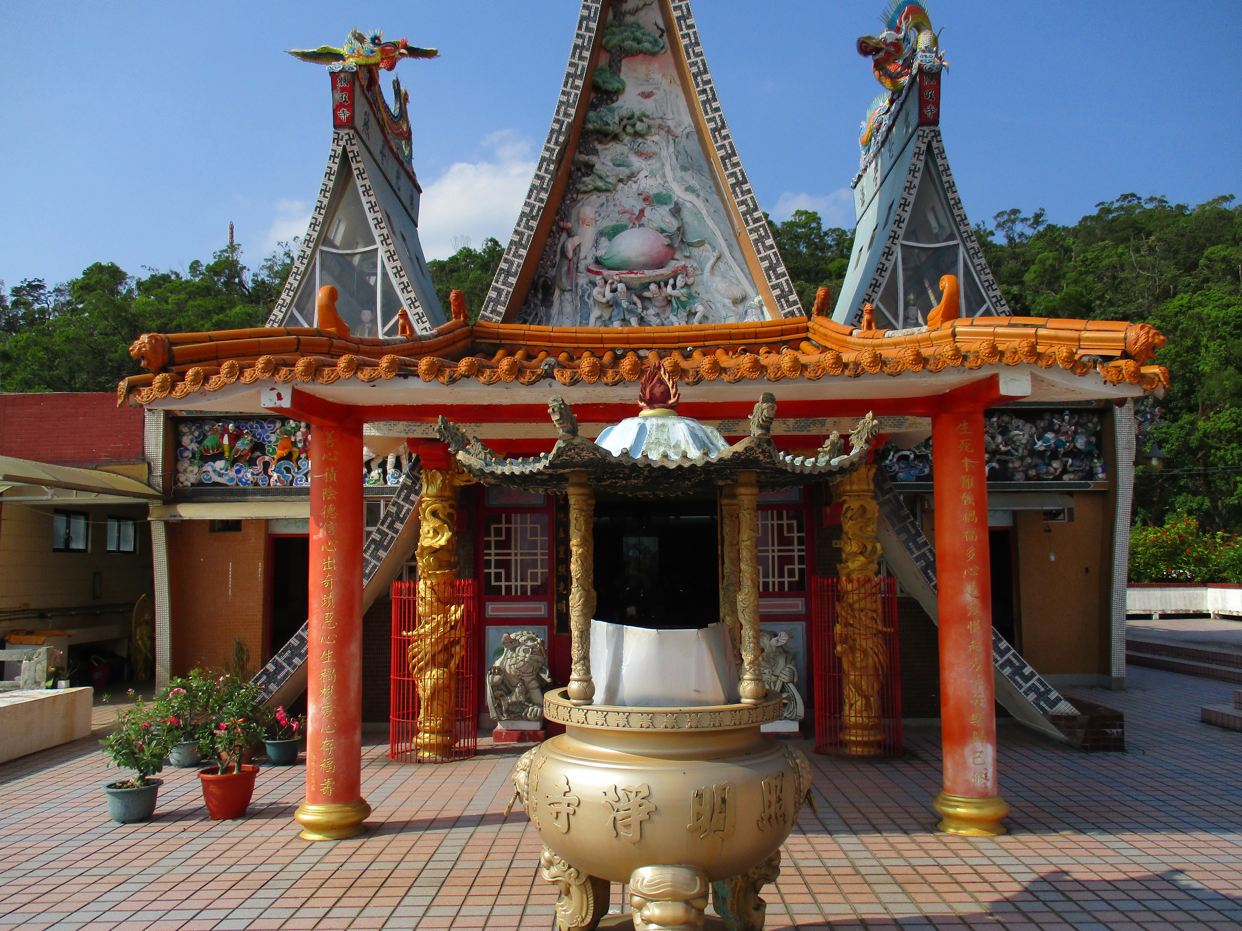
Lovers Temple
At the back of the temple is the start of another wide dirt trail which is actually a very rough road which leads to a radio tower on the top of the hill, signposted for Mt. Danfeng.
start of the trail from Zhaoming Temple
Follow this trail to the end and the junction with another trail, turn left here to see some sights further down the hill, then return afterwards to the junction and keep going straight.

turn left here, then return and go straight
From the junction a paved trail leads downwards. On the way down look for some markings painted on the trail. These point to way to an unusual old Japanese rock shrine. Turn right here. The shrine is only a few minutes along the narrow trail.
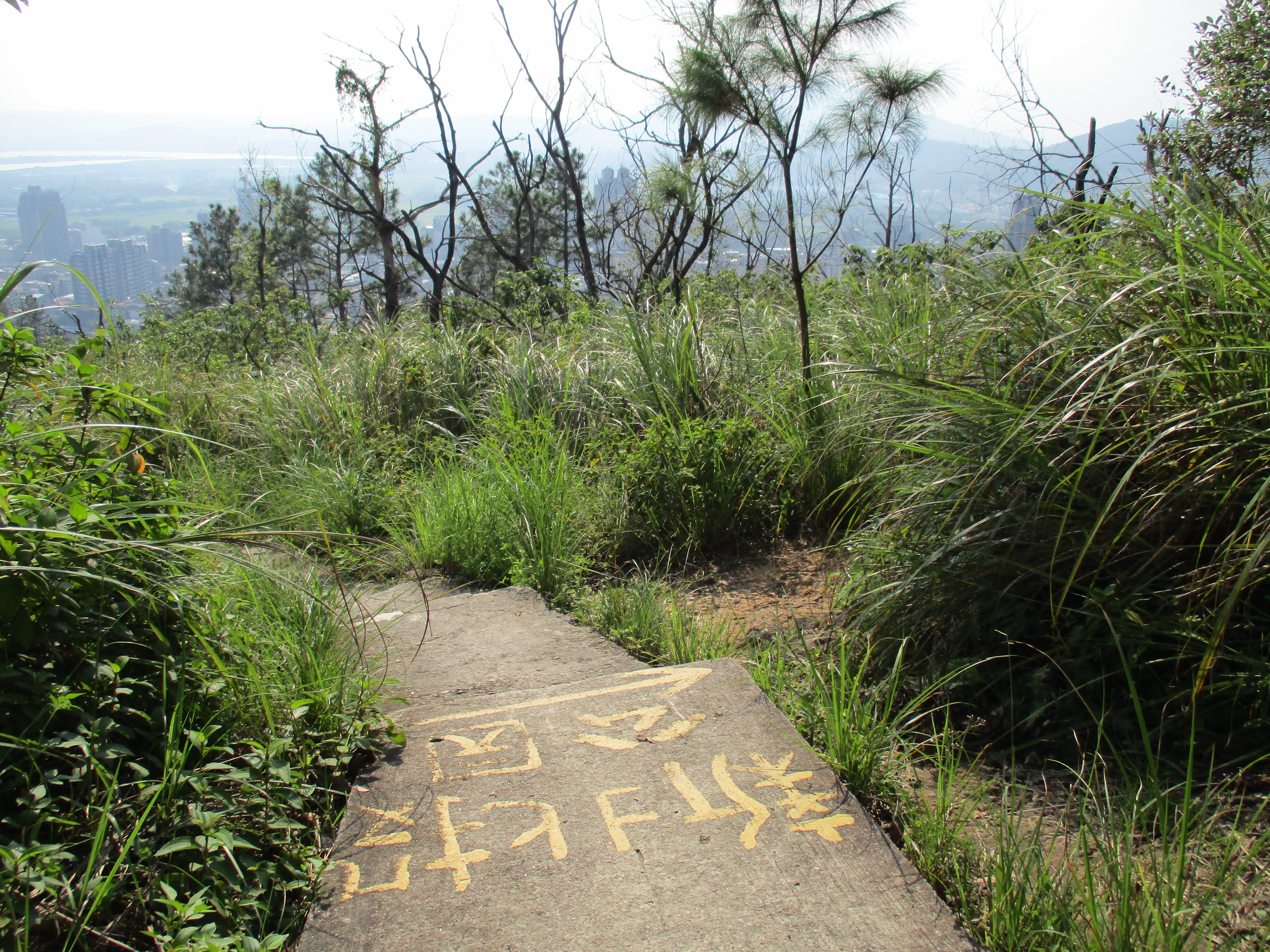
turn right here for the rock shrine
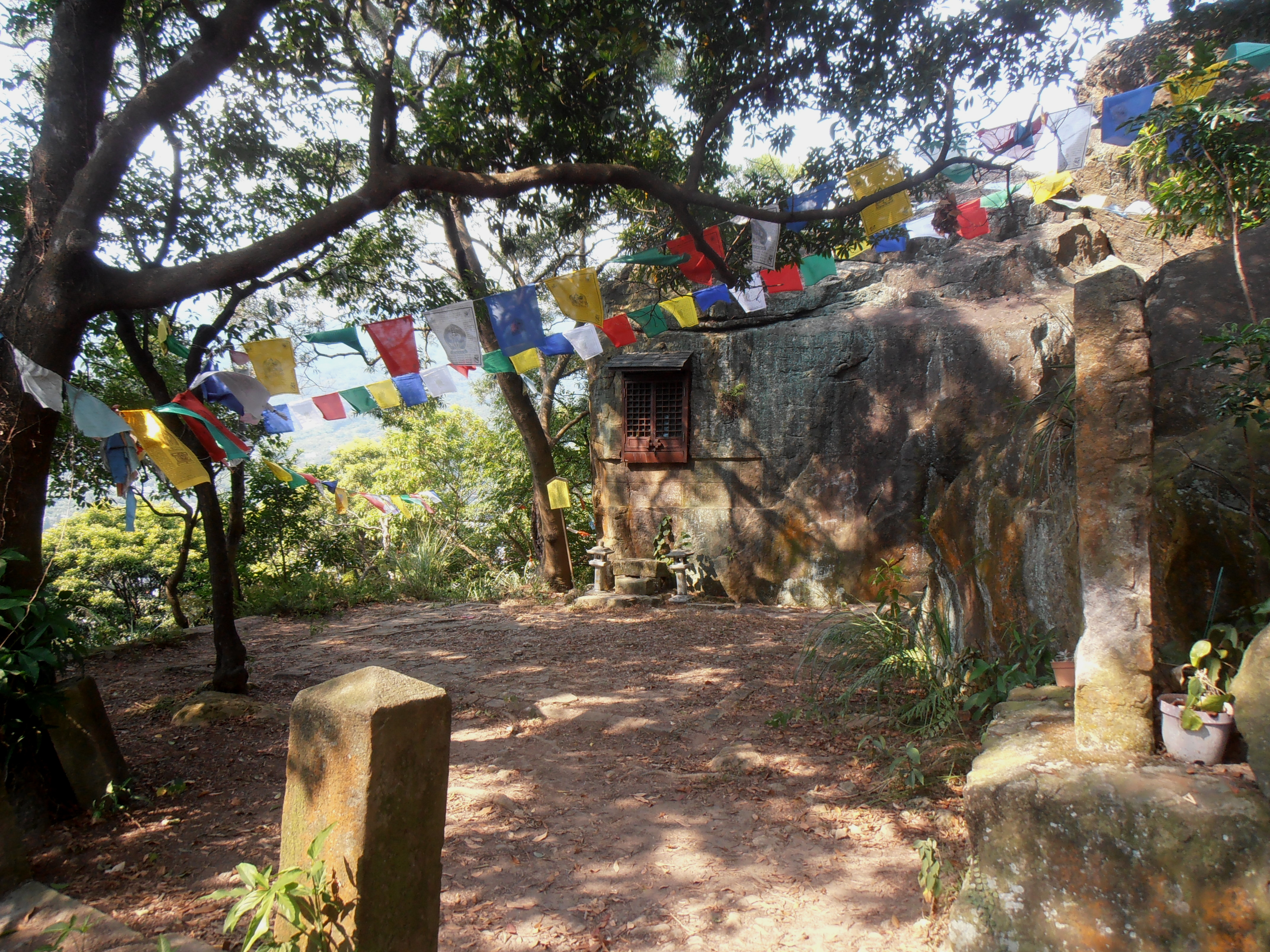
Japanese rock shrine
After you’ve seen the shrine go back to the trail and continue to follow it on the way down. The trees on the hillside here are all dead and the hill is mostly grass. It can be very hot walking through here on a summer’s day. Before reaching the bottom the trail will change back to a dirt trail supported by green mesh.

trail going through an area of dead trees
At the bottom of the trail you’ll find the crumbling and forgotten tomb of some KMT general.
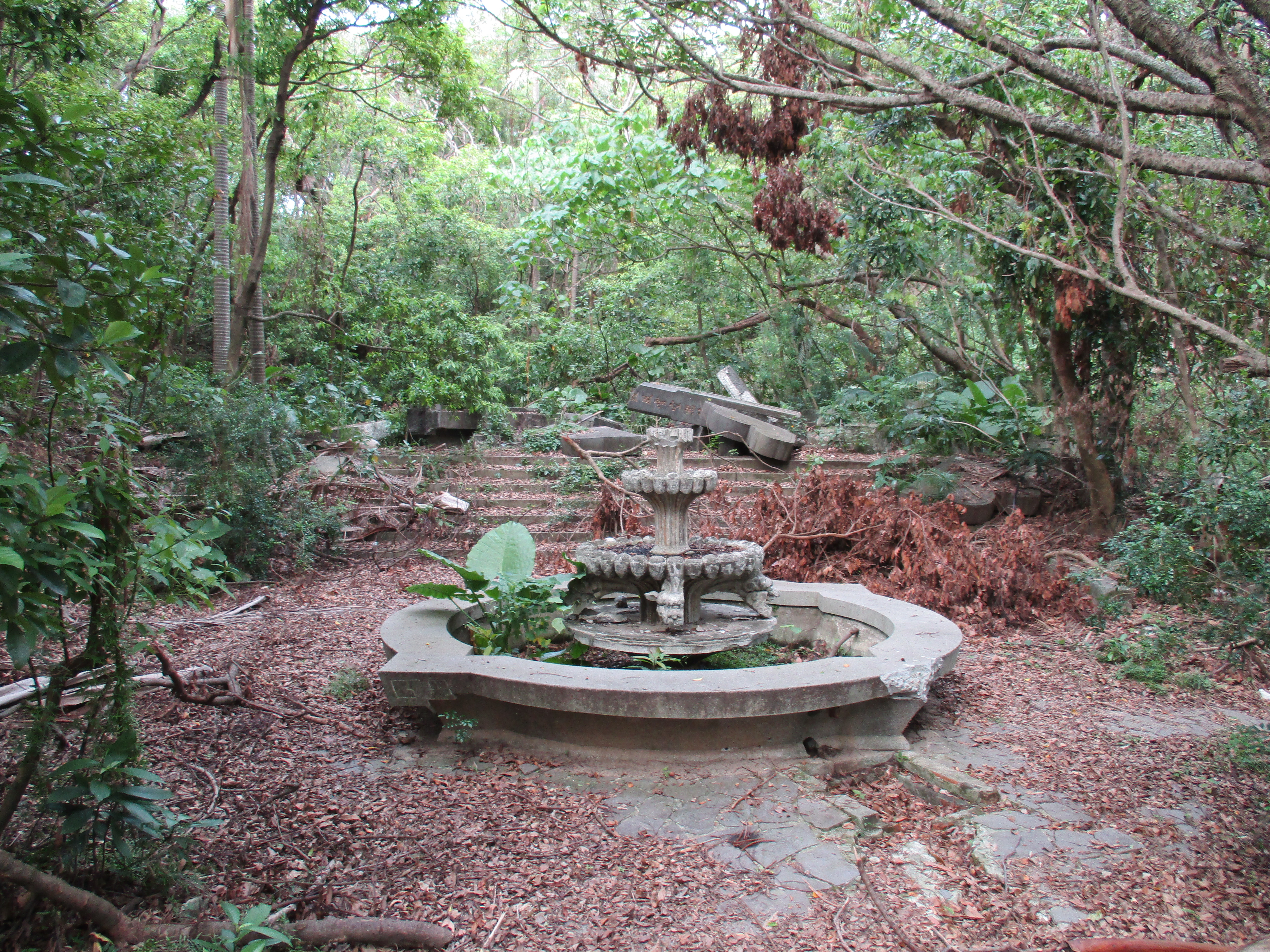
forgotten tomb of some KMT general
There is also another large temple nearby that is worth a quick look.
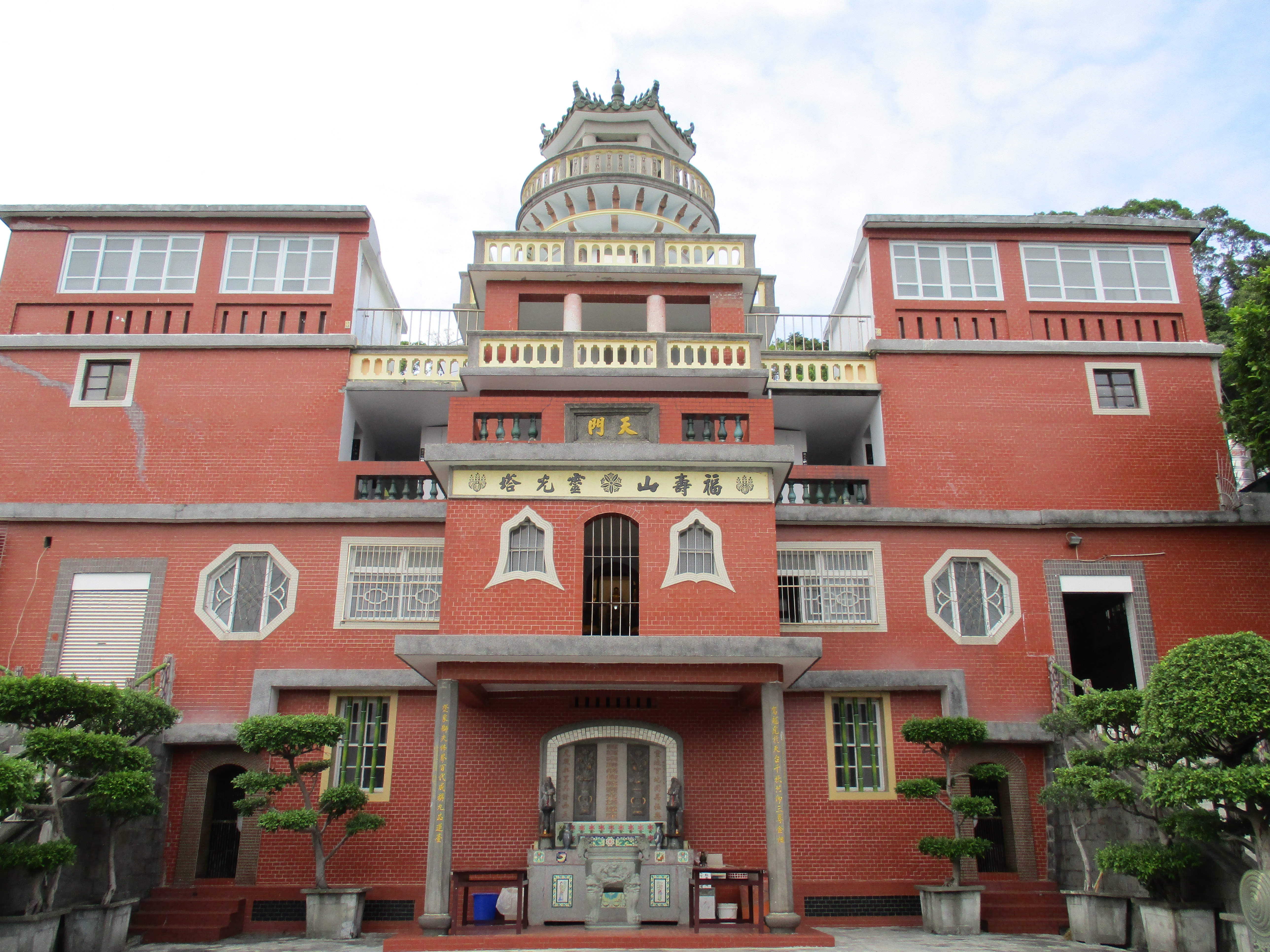
temple near the bottom of the trail
After looking around here head back up to the last trail junction from Zhaoming Temple and keep going straight, following the dirt track to the radio tower at the top. Take the unmarked trail forking off from the end of the track on the right below the tower.

fork right here below the radio tower
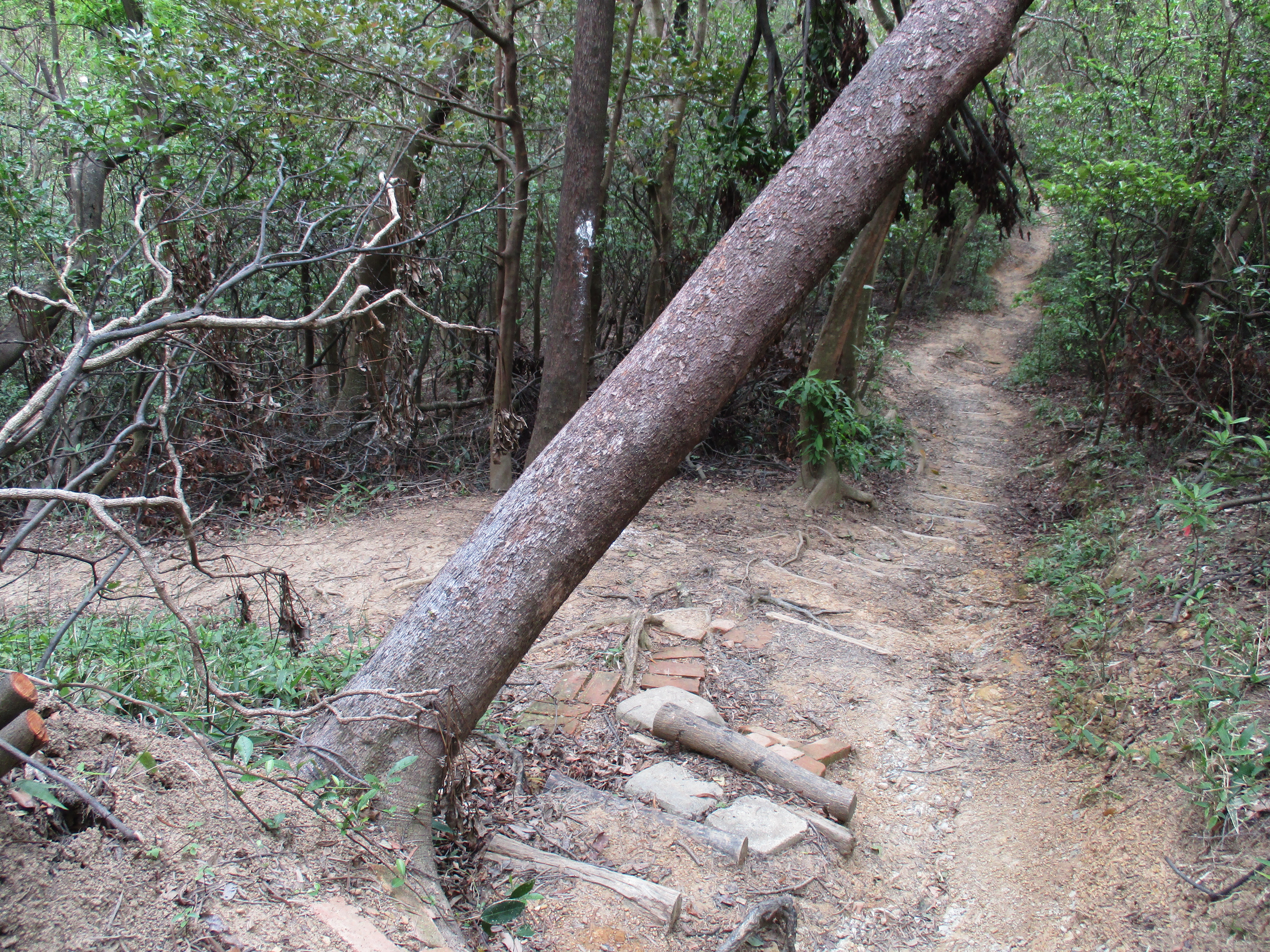
The trail goes away from the tower along the top of the ridge through some thick tree cover.

trail going away from the radio tower
After descending some steps you’ll come the unmarked turn off for Beitou, turn left here.
turn left here for Beitou
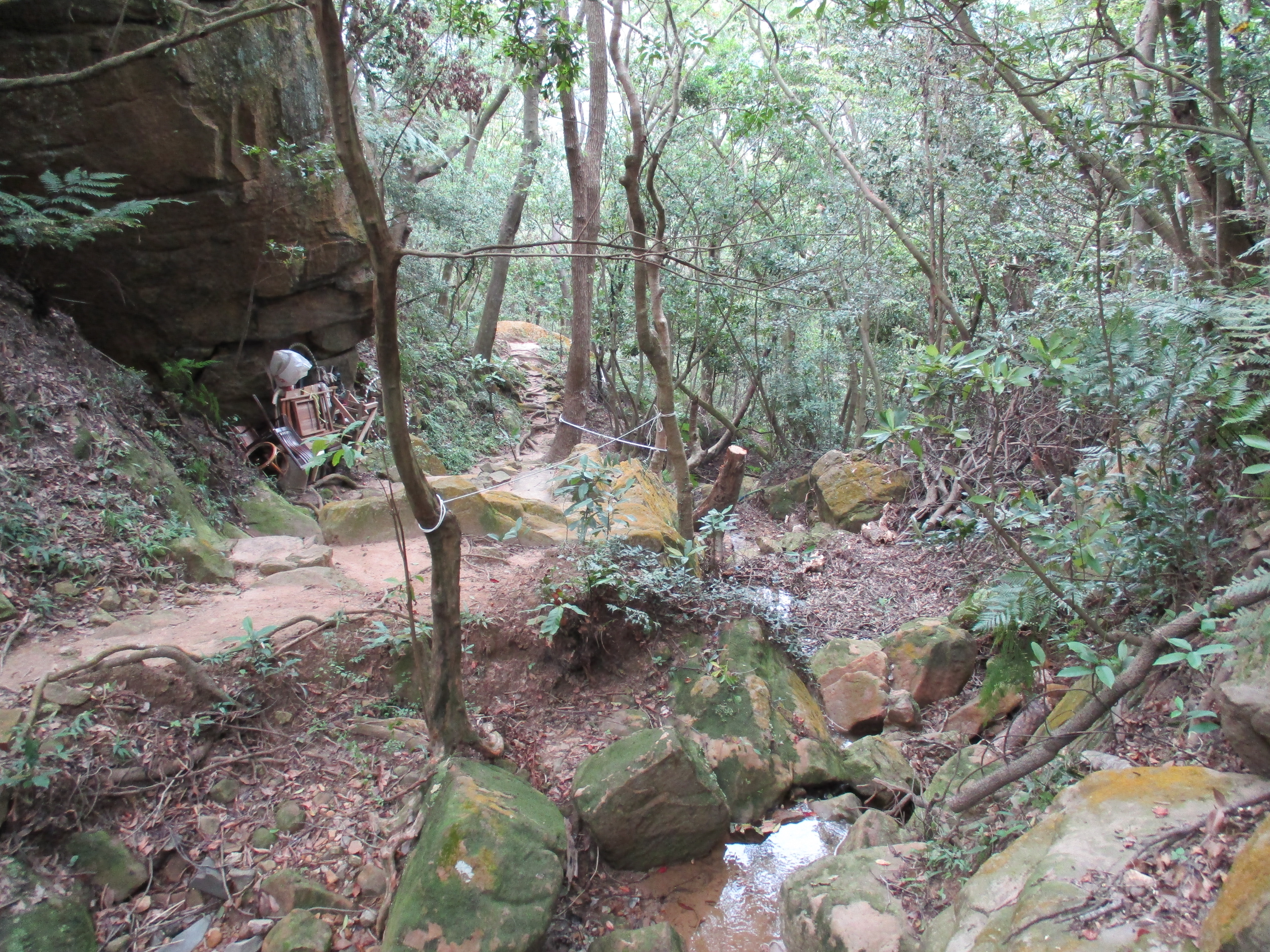
From the junction the trail descends steeply on steps supported by red bricks until it reaches a small stream at the bottom. Then the trail follows the stream downwards and ends at a road.
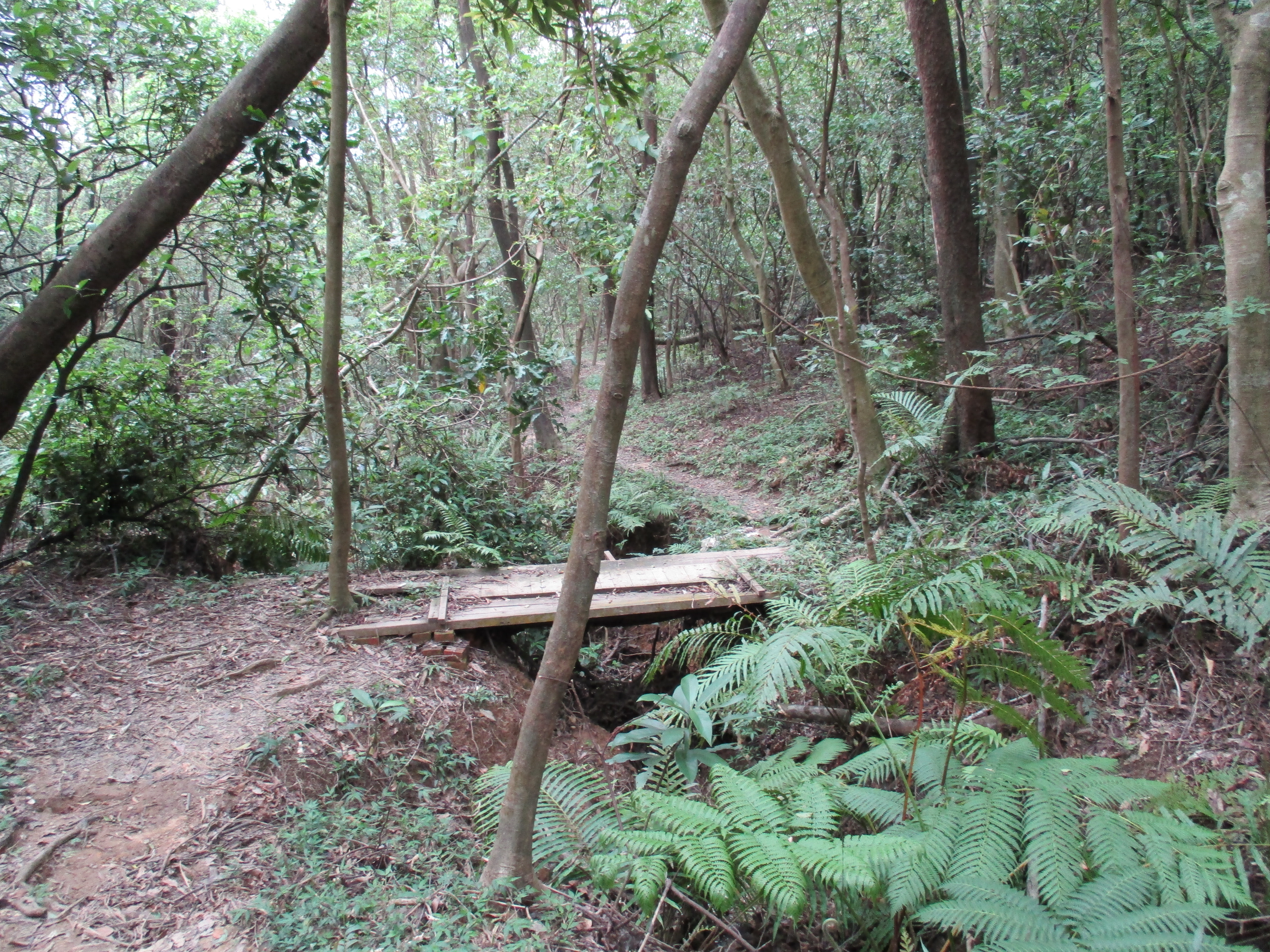
trail going down to Beitou
trail going down to Beitou
From the end of the trail follow the road down to Beitou. The road will lead past Puji Temple, an old Japanese-era temple.

Puji Temple
Further down the road is Thermal or Hell Valley, a pool of boiling hot water.
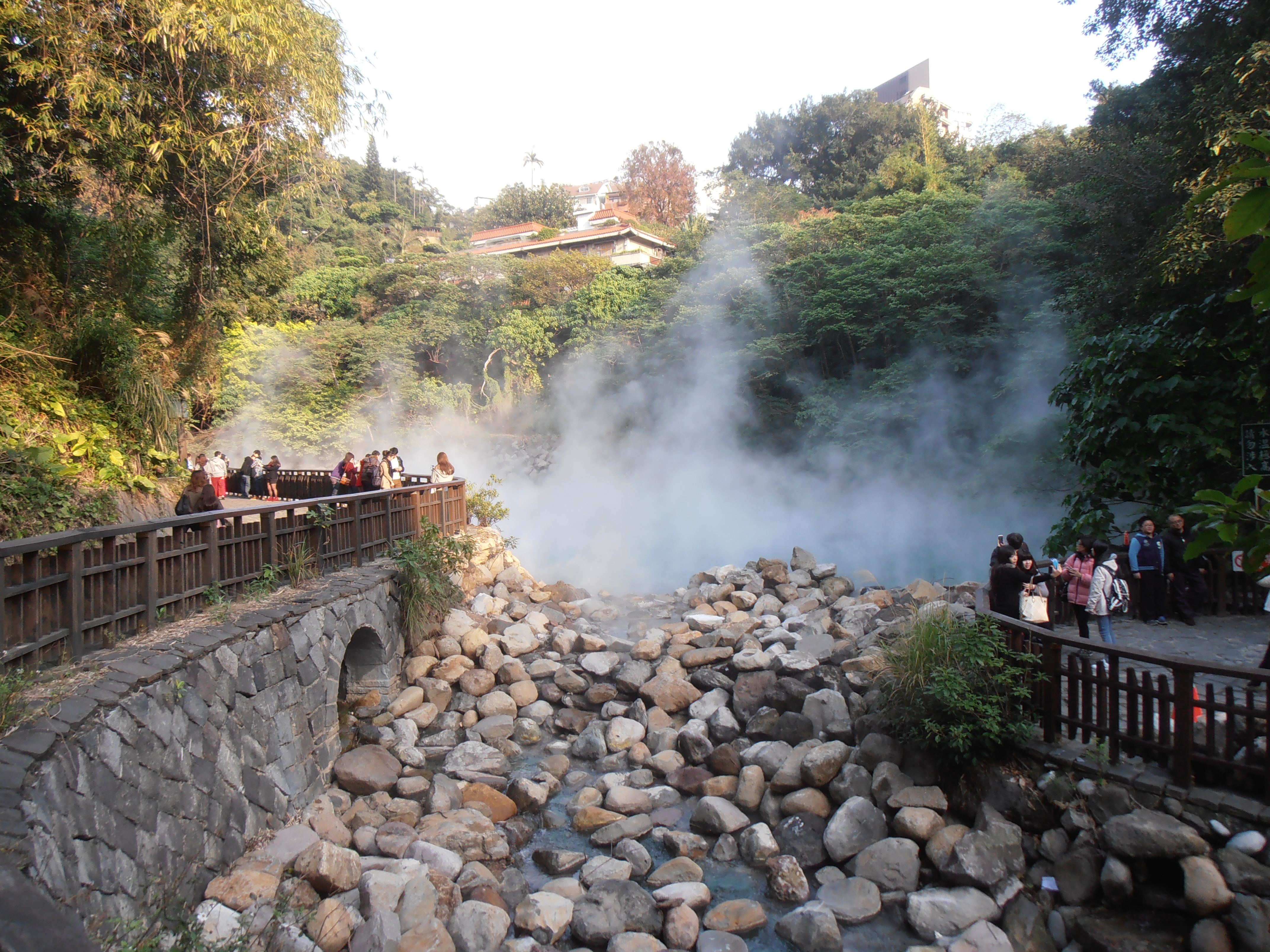
Thermal Valley
Further down the stream leads down through Beitou Park passing many sights on the way down towards Xinbeitou MRT Station.
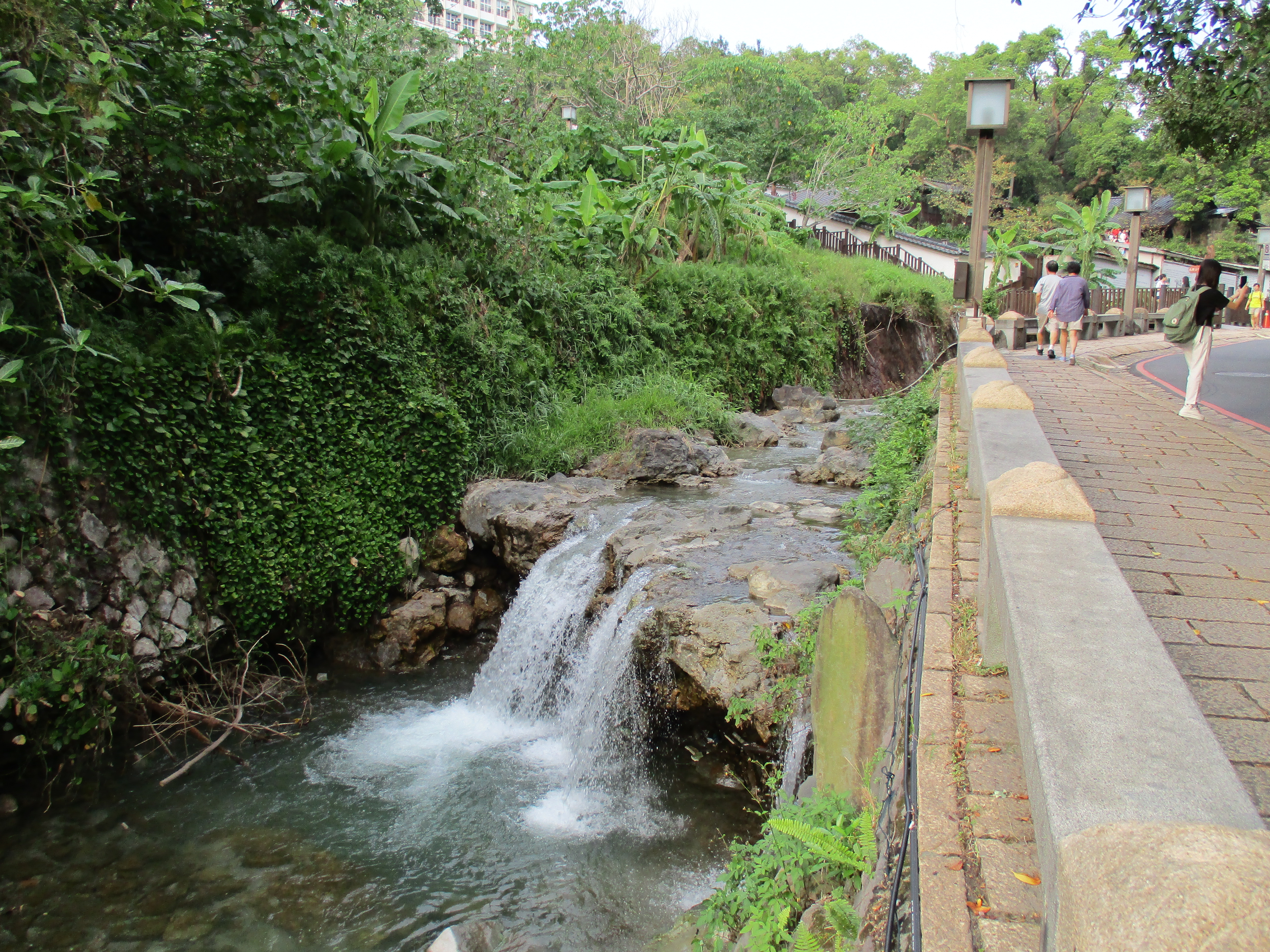
stream in Beitou

stream in Beitou from the bridge below the library

Beitou library
Map of the Hike

Hi 🙂 I tried this trail today (August 2016) and there are some small points which changed on the trail. The Sign for the Japanese Stone temple has been oversprayed and there was a guy tracking each of my steps (was a little creepy haha) when I was walking around on the temple grounds. Maybe they don’t want somebody to go there anymore? However it was still very interesting.
The turn to Beitou after the Radiotower looks different now. The one tree there is gone but I could figure it out by the steps and stones there. Also somebody has marked a tree there, so it is more clear. I made photos of these two points, if you are interested I’ll send them to you for an update 🙂
Finally I wanted to thank you for the accurate description. It was really nice and the view was awesome! Had a great time 🙂
Hi Manuela. Thanks for the updates. Glad you enjoyed the hike.