Keelung City/Pingxi District, New Taipei City
Mt Jiangziliao (姜子寮山) is a peak located between Keelung and Pingxi with excellent views from the top. This hike starts at Taian Waterfall, climbs up to the peak of Mt. Jiangziliao, then continues on to finish at Jingtong.
Access: take the train to Qidu Station then a taxi to Taian Waterfall (泰安瀑布), our metered taxi fare was $120, there is no bus service to the waterfall
Length: 11km, 6 hours
Train Conditions: mostly on a wide dirt trail, some short rope sections, one long steep rope descent, steep wooden steps to the peak, stone trail with steps near the end
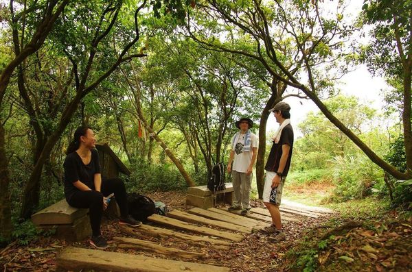
The Hike
From the entrance to the waterfall area, climb up the stairs to Taian Waterfall, reaching the waterfall in just a few minutes.

entrance to Taian Waterfall
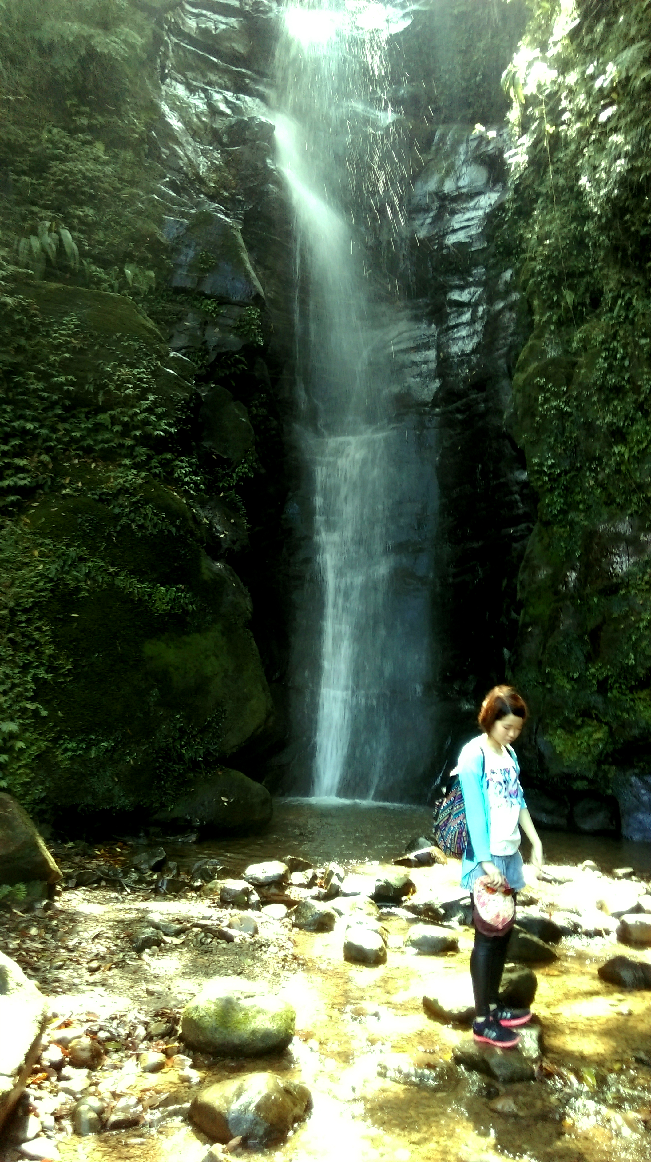
Taian Waterfall
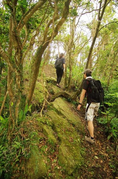
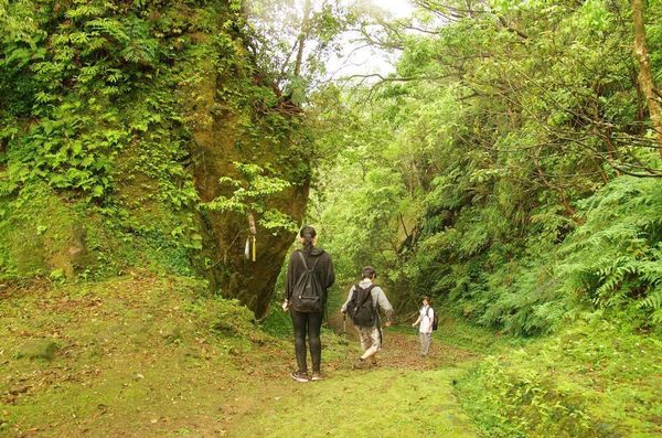
After seeing the waterfall, climb up the stairs past the flower beds to find the start of the trail to Mt Jiangziliao. There are no signs marking the start of the trail. From here it takes about 2 hours to reach the peak.

take these stairs up from the waterfall
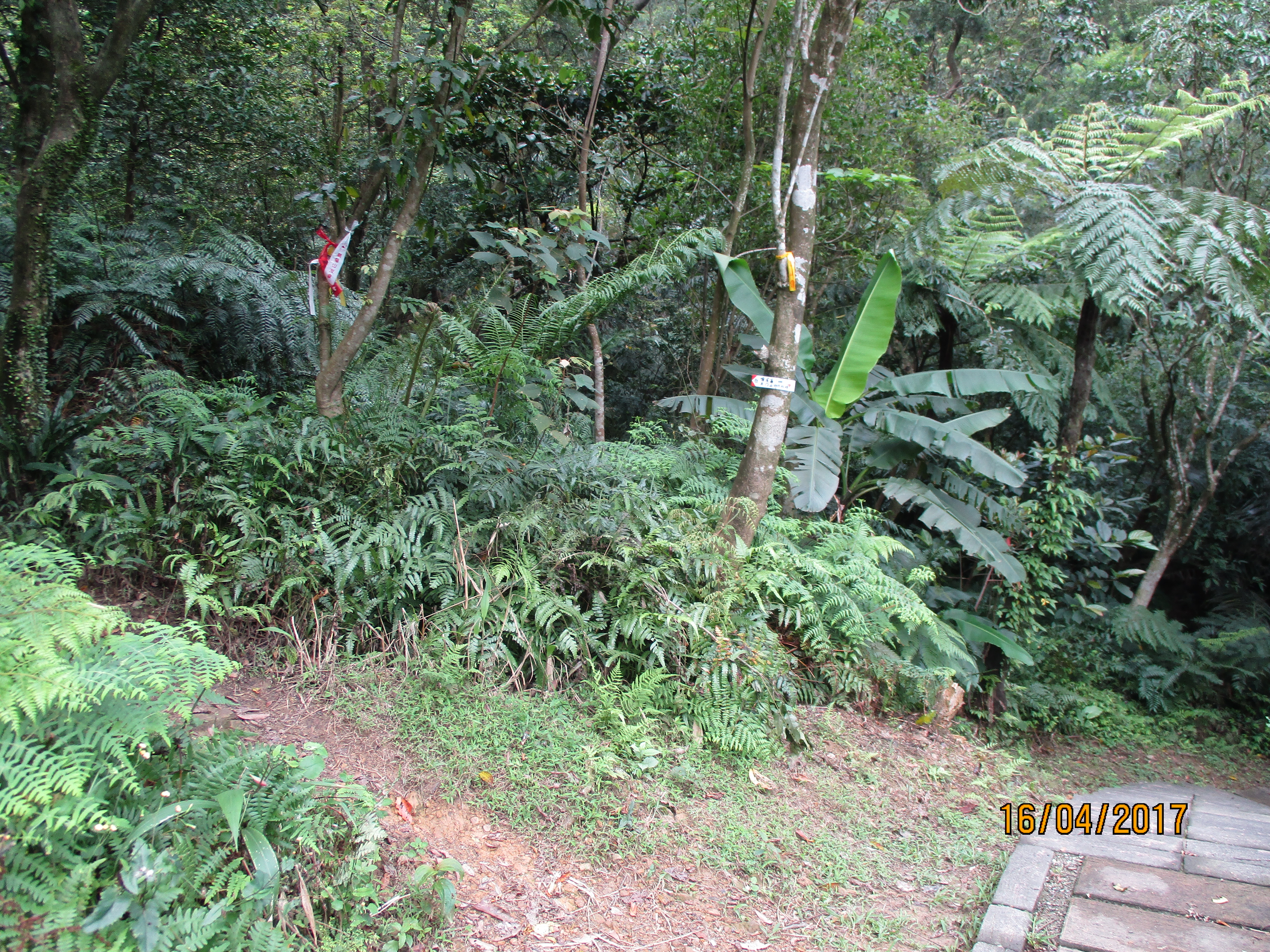
start of the trail up the mountian
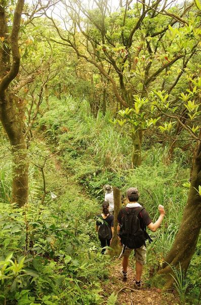
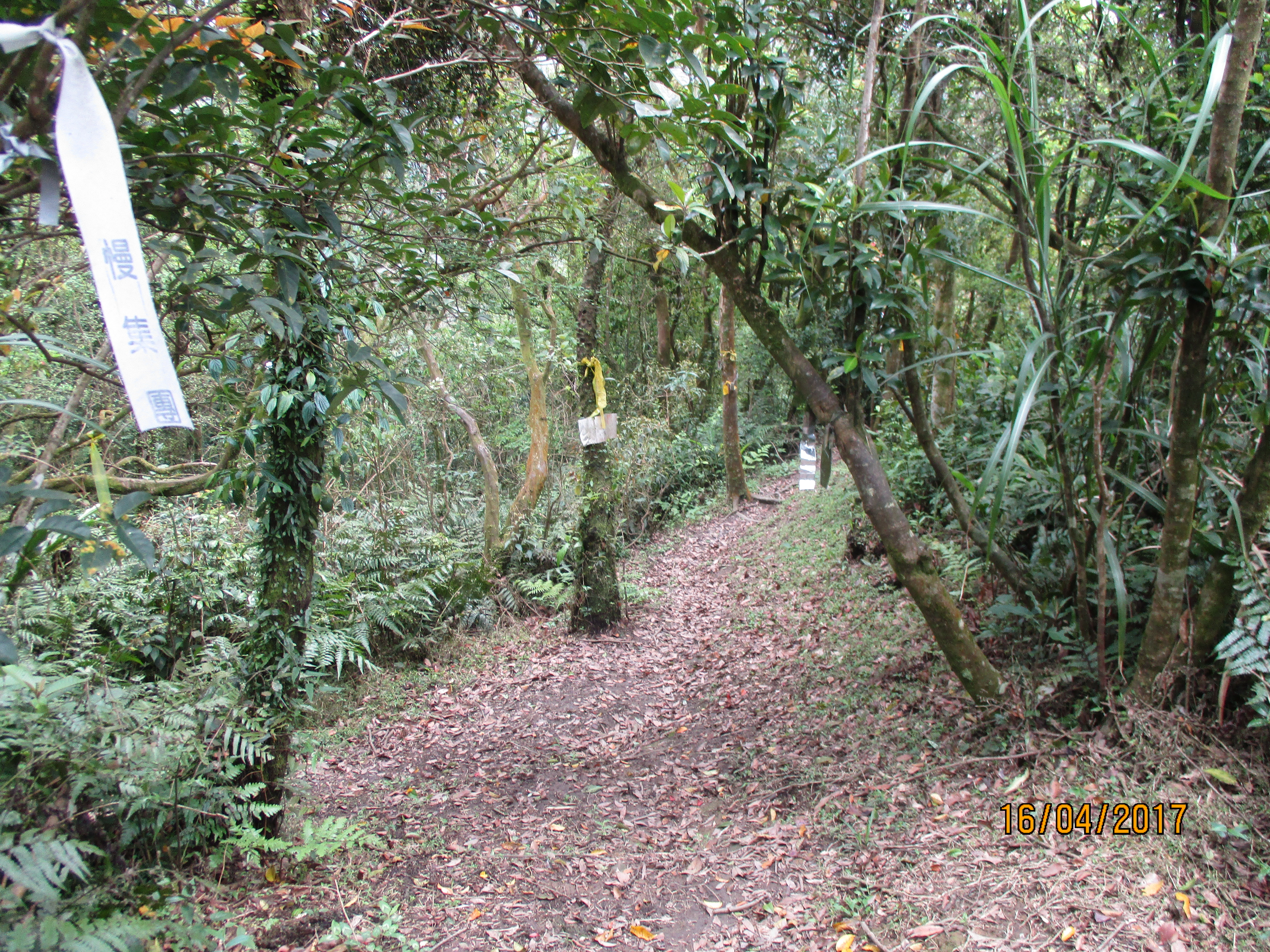
The dirt trail climbs up, moderately steeply, sometimes alongside a tiny stream, and finishes at a trail junction at the top of the ridge.
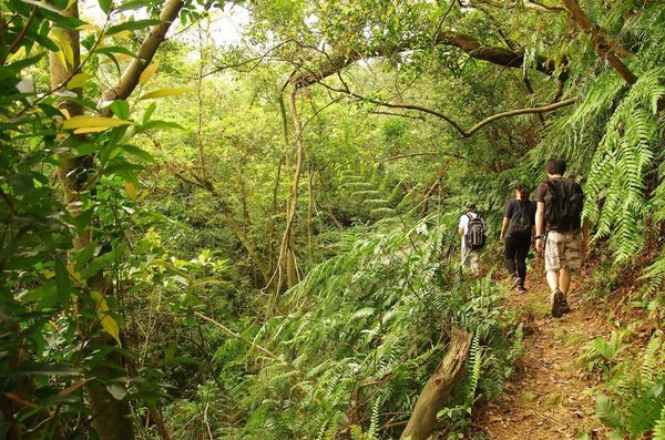
trail climbing up
Turn left at the trail junction at the top of the ridge.
trail junction at the top of the ridge, turn left here
The trail then comes to another junction in less than a minute. Fork right here, continuing the climb along the ridge.
fork right here
From the junction the trail continues the moderately steep climb along the ridge until it reaches a mini-peak.
trail climbing along the ridge
mini-peak
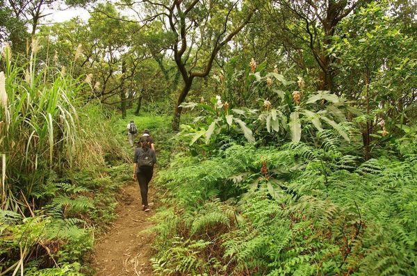
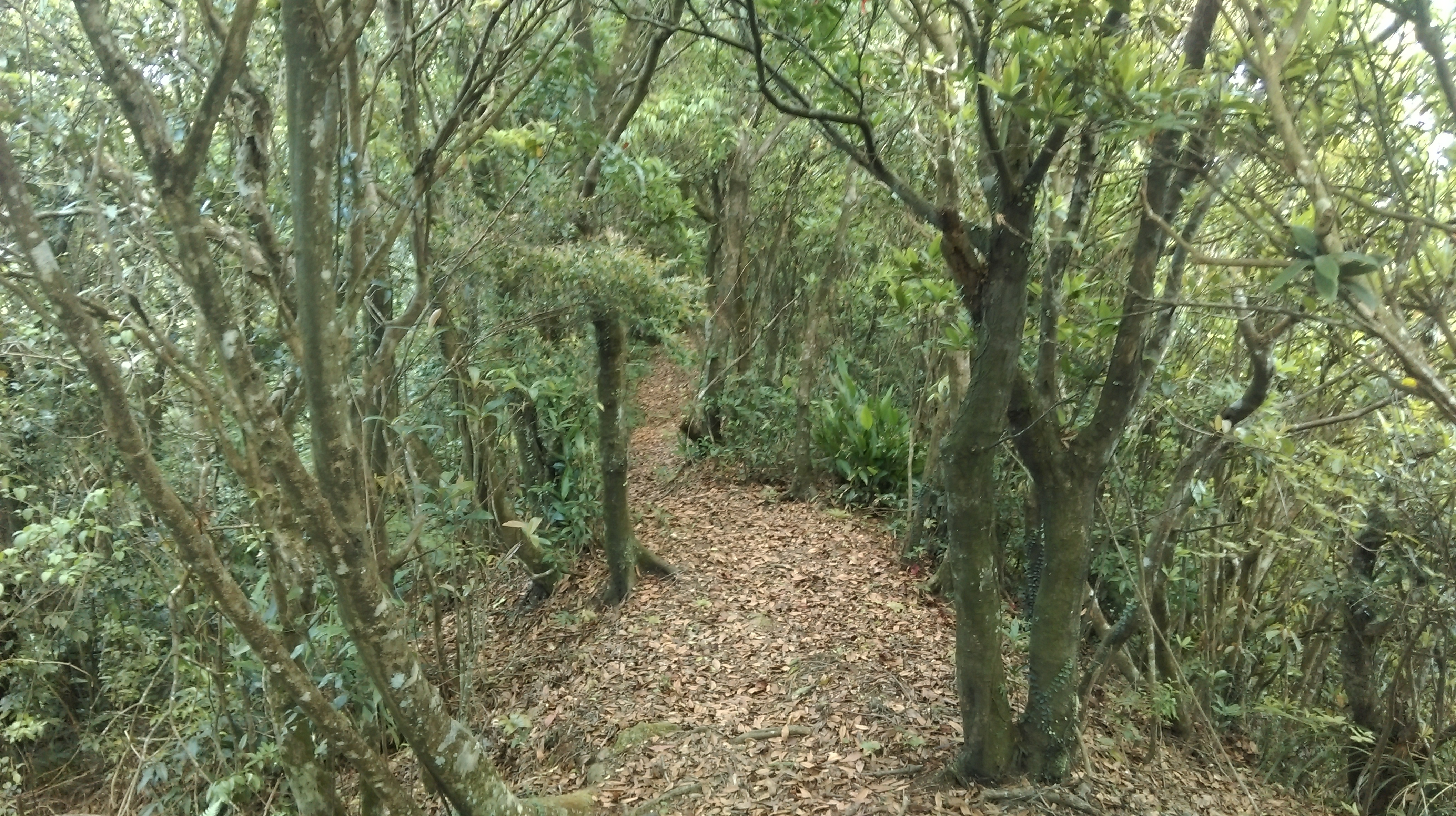
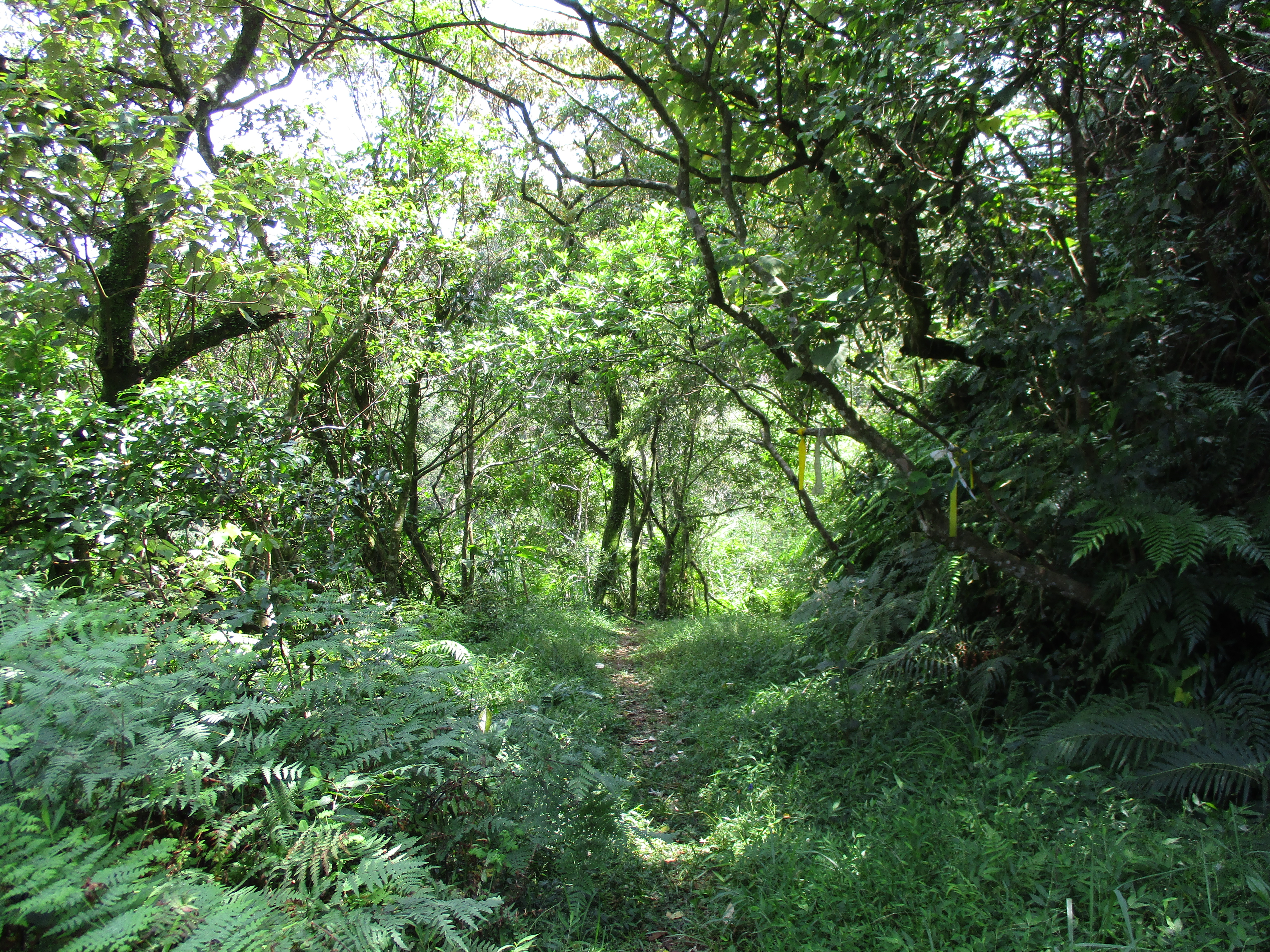
After the mini-peak the trail levels out for a while as it continues along the ridge, sometimes dipping down and climbing back up.
trail along the ridge
trail along the ridge
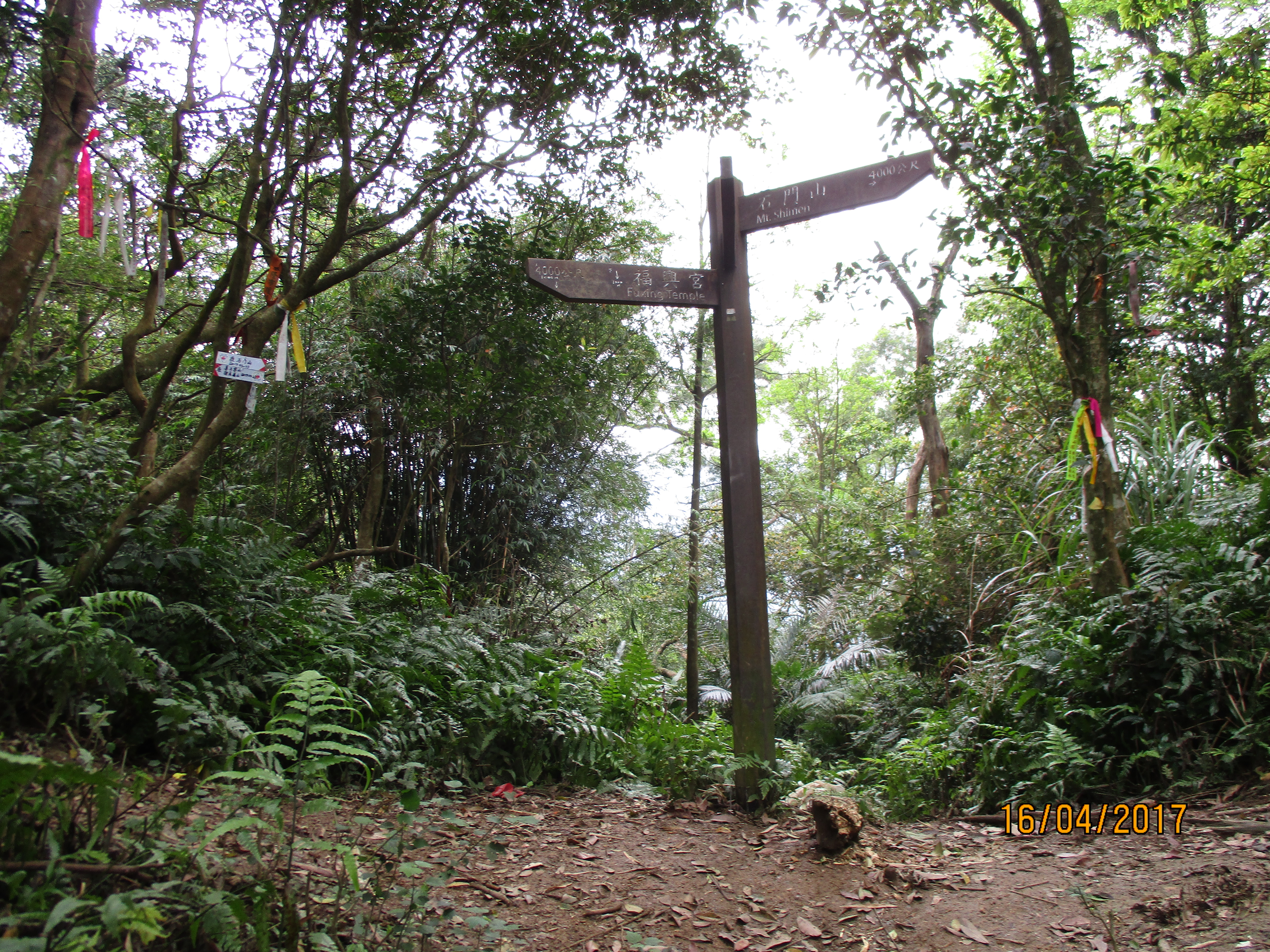
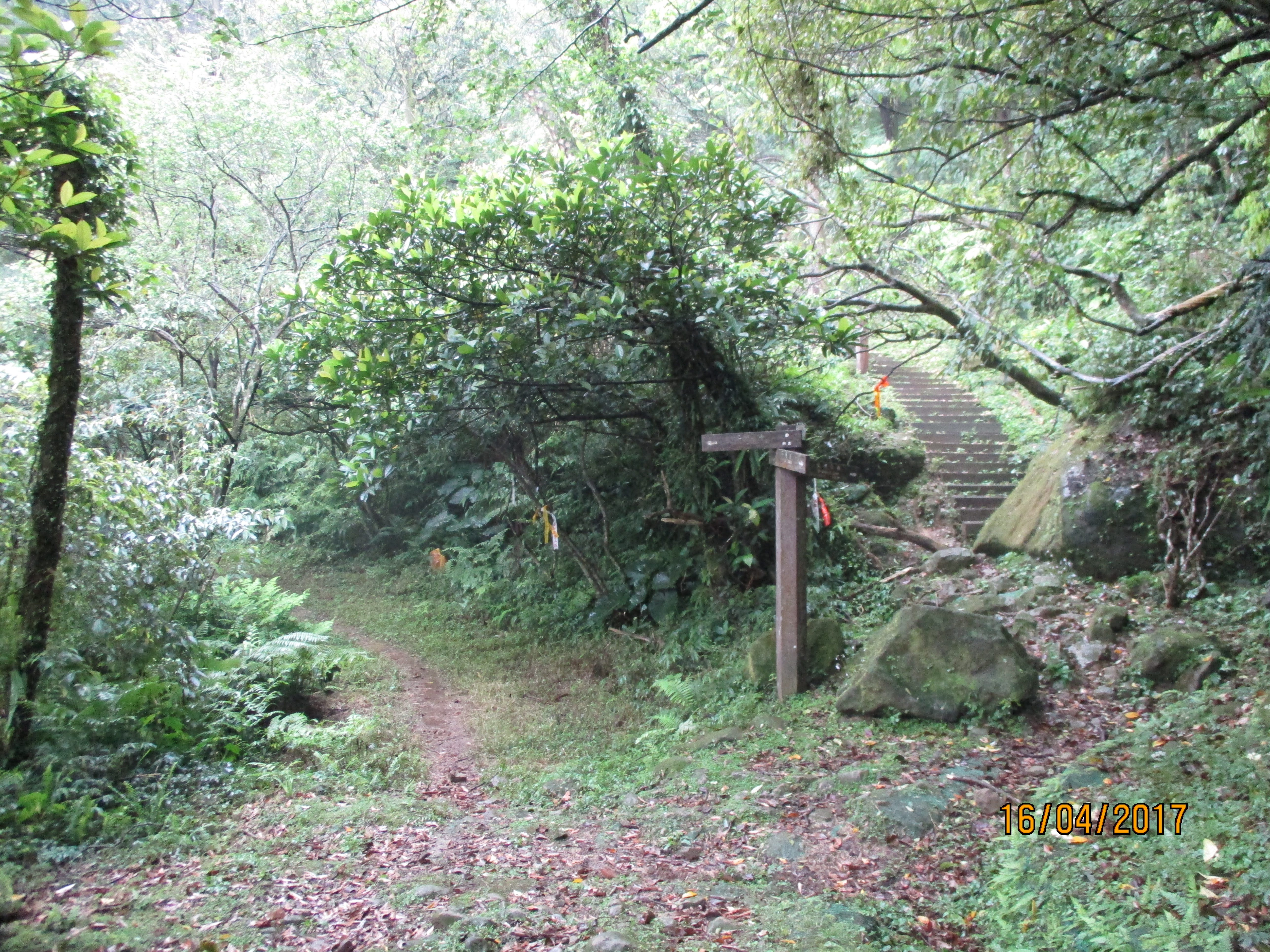
Eventually the trail ends at a junction with the main trail going up to the peak of Jiangziliao from a parking lot at the end of the road.
junction with the main trail to the peak, turn right here
The main trail going up to the peak is a dirt trail with steps of wooden ties. The trail is fairly steep and there is little shade along it.
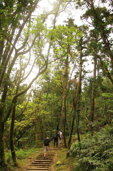
trail to the peak
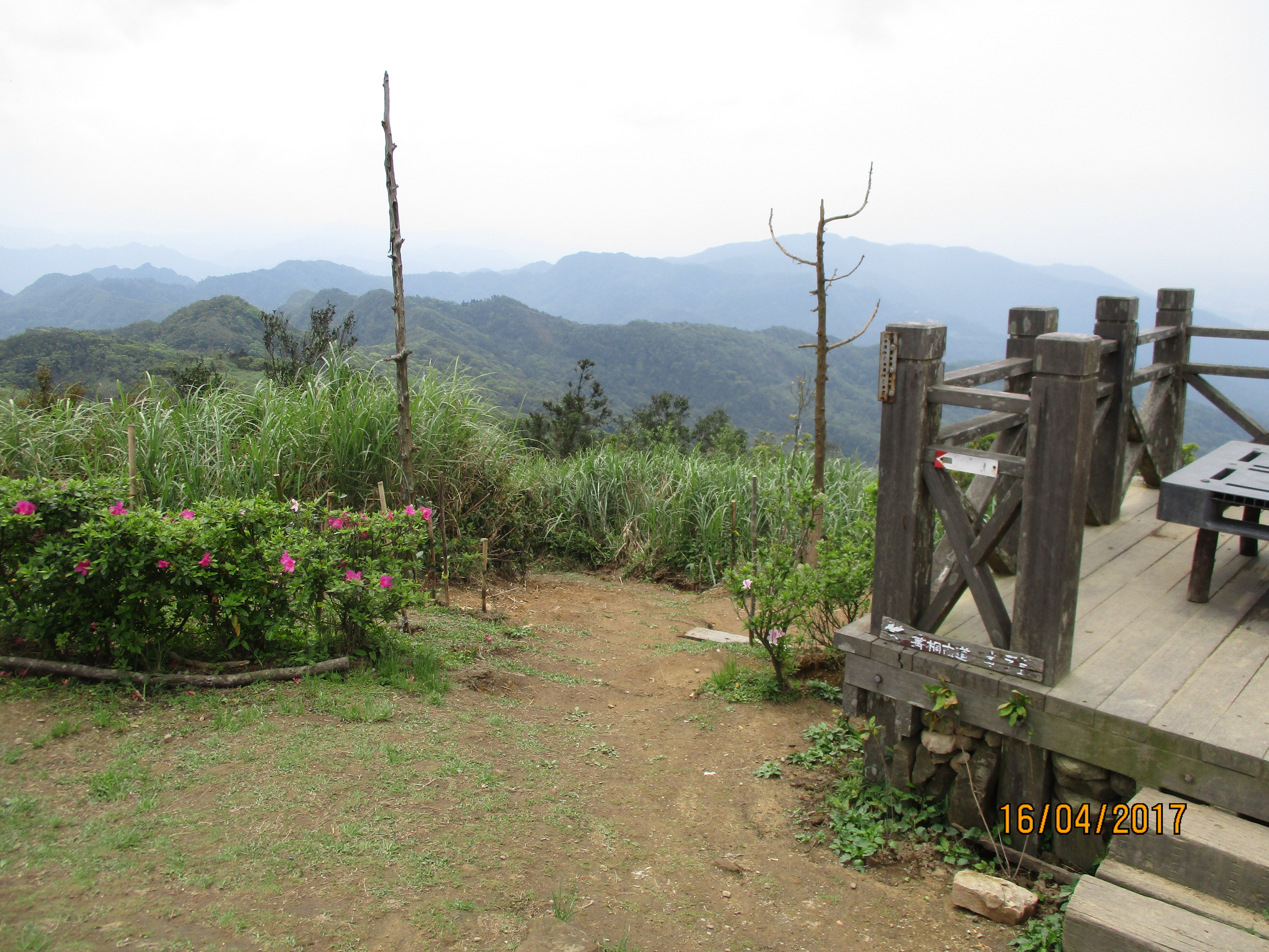
The 729m grass-covered peak of Mt. Jiangziliao offers an unobstructed 360 degree view of everything from Taipei to Keelung on one side and the mountains around Pingxi on the other.
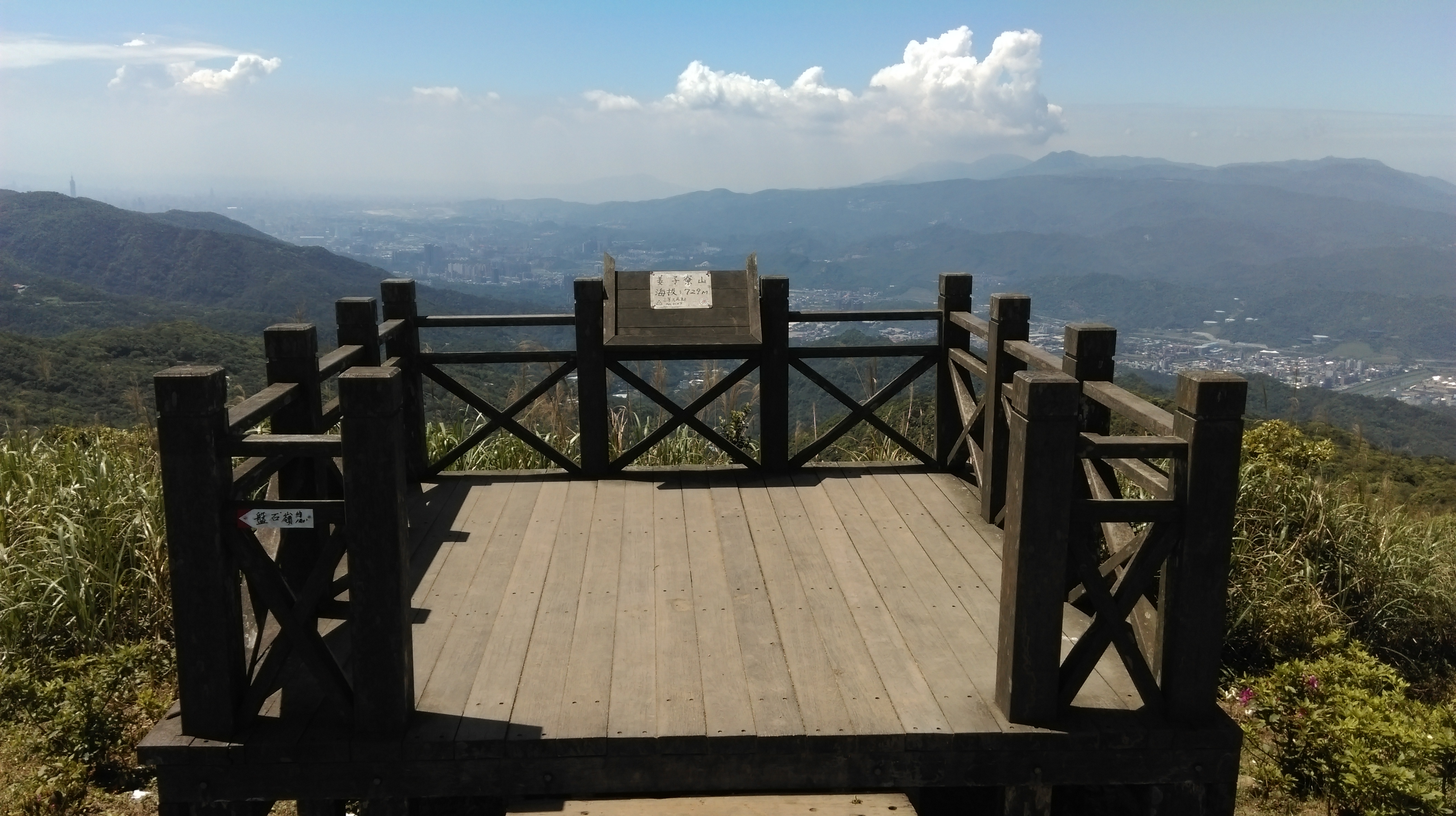
Mt Jiangziliao peak
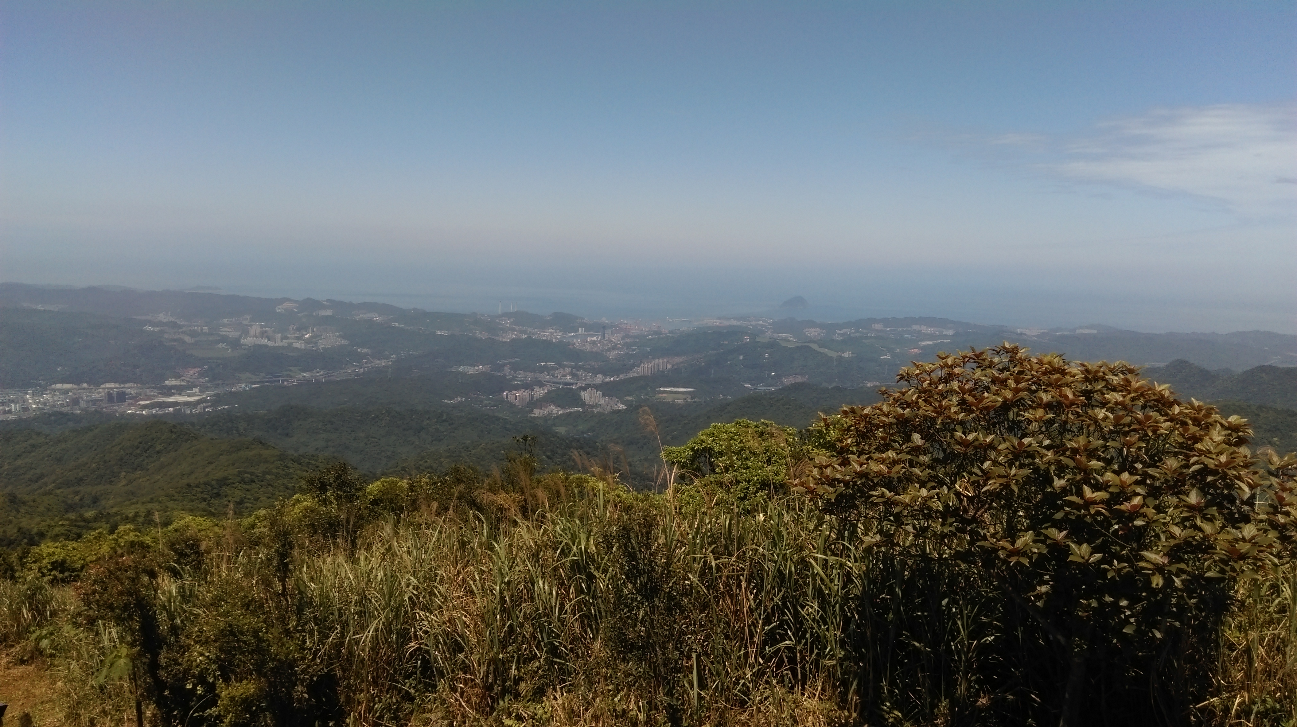
view from the peak
view from the peak
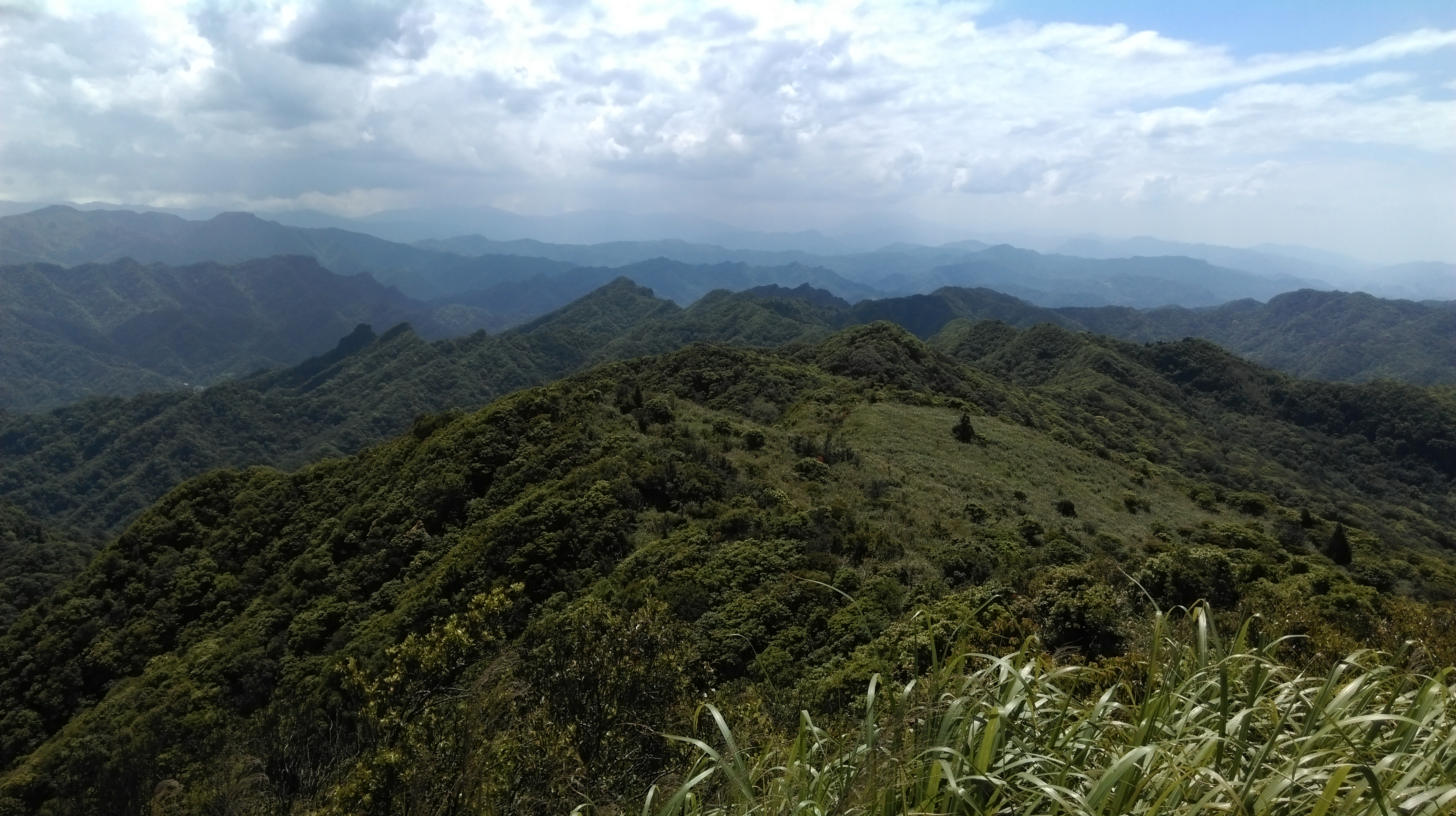
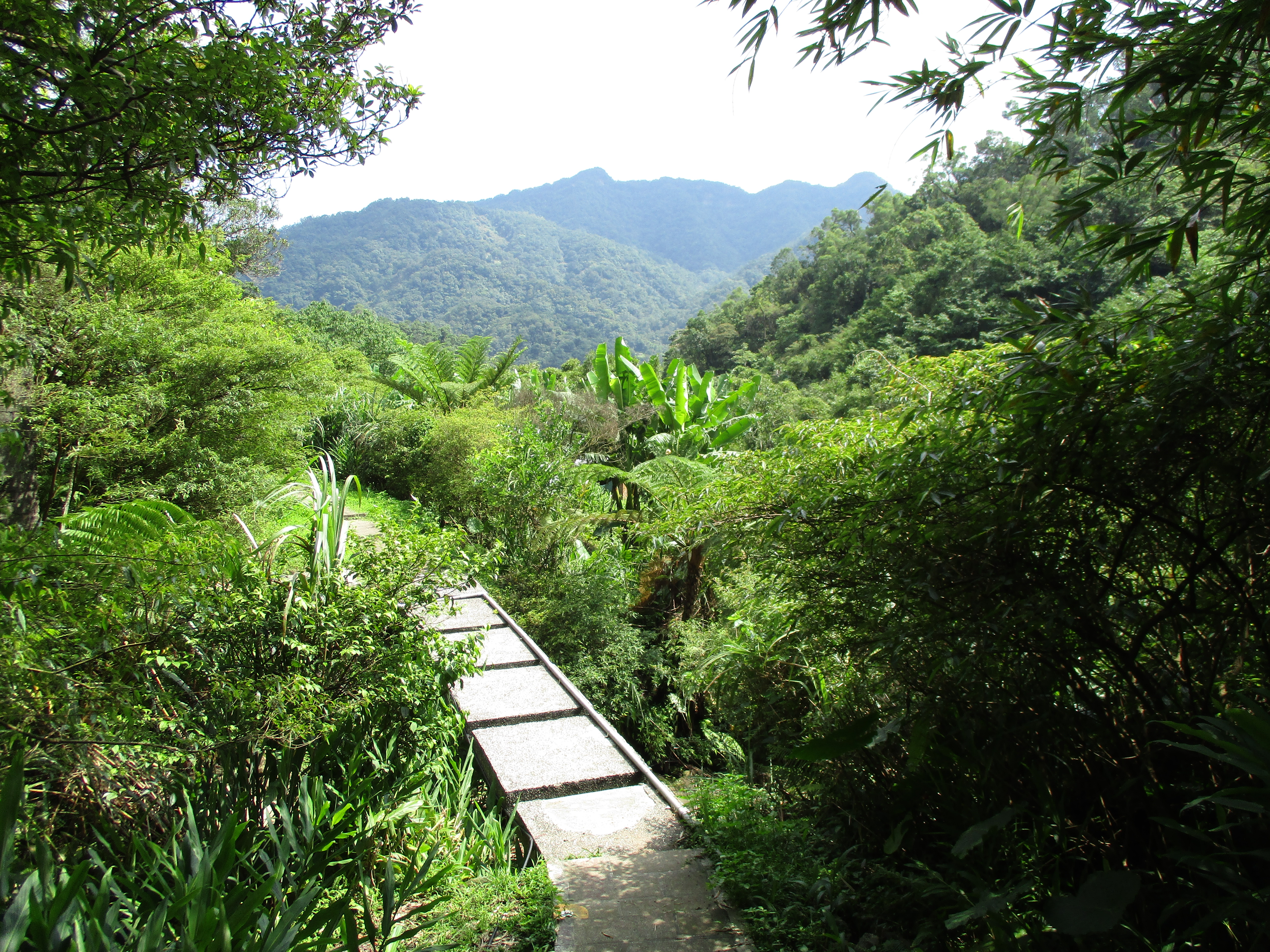
From the peak take the trail going down the other side directly opposite from where you came up. The trail goes along a ridge for 2.5km and ends at a road. Stick with the easy to follow and well-hiked main trail and ignore any smaller trails turning off from it.
take this trail going down from the peak
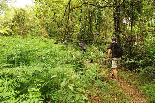
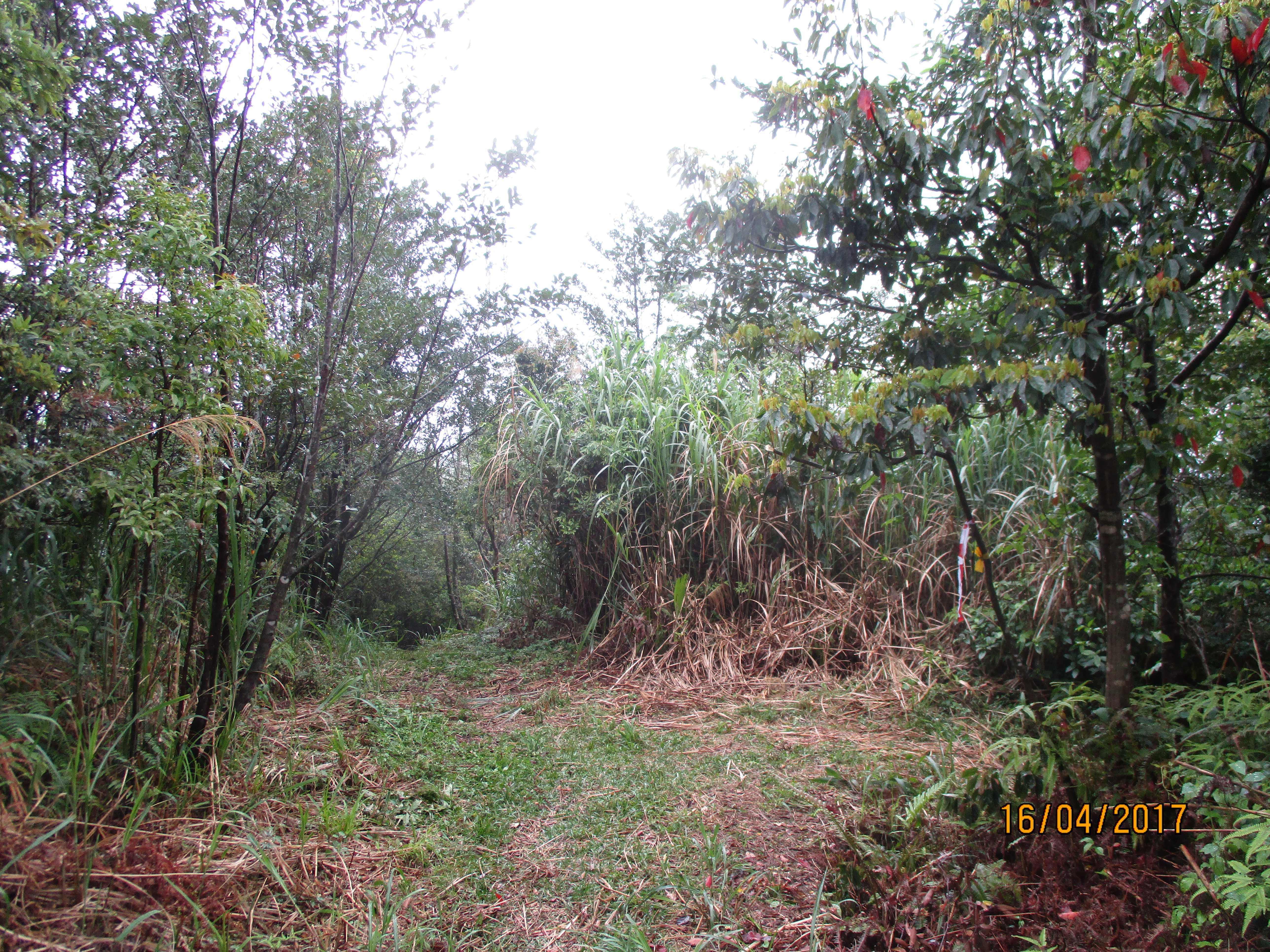
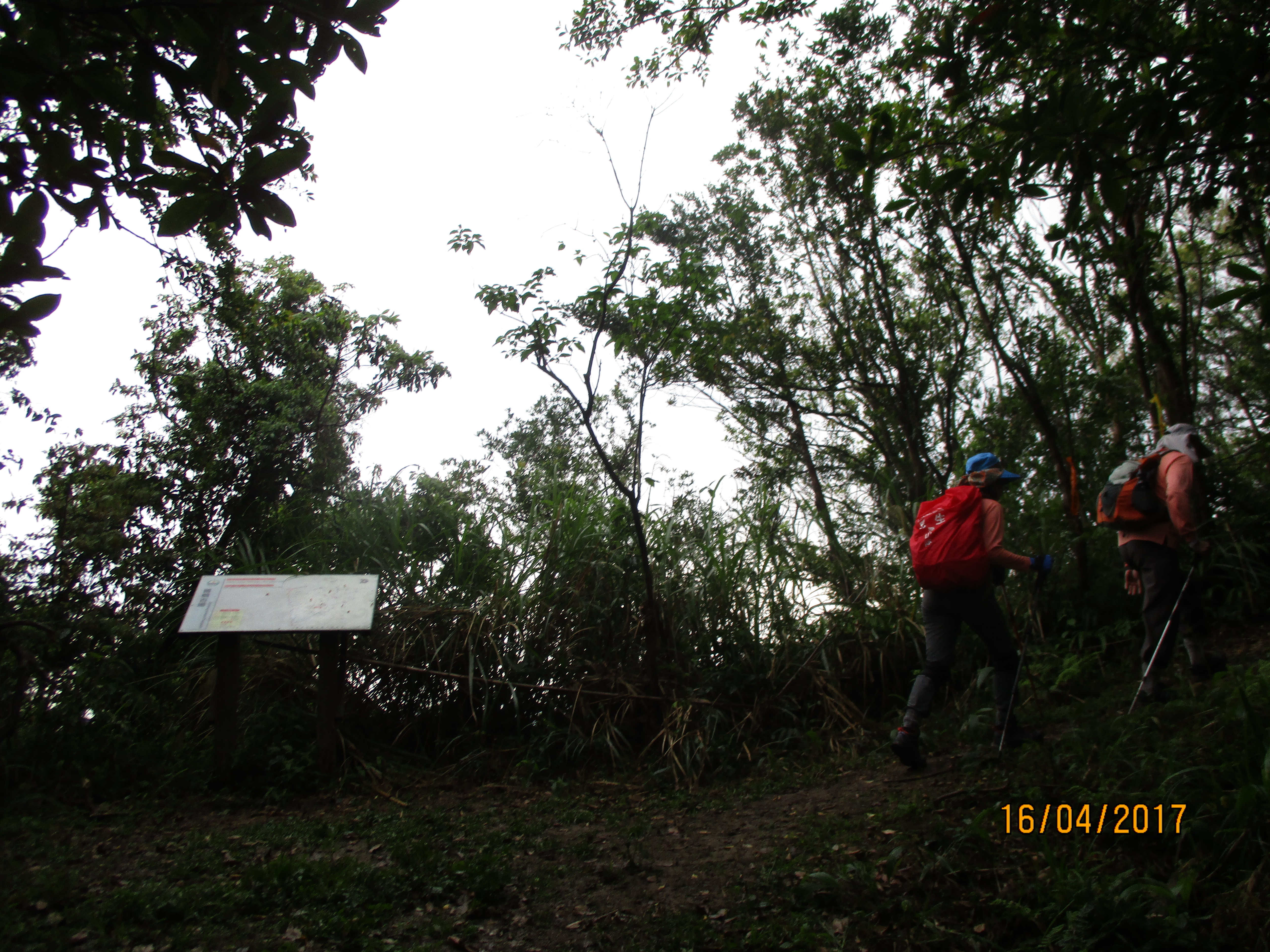
The trail will descend through the grass and shrubs before entering the trees again.

trail going away from the peak
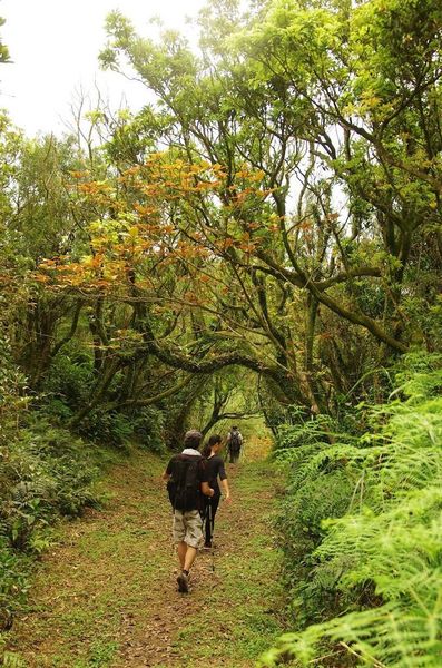
back in the trees again
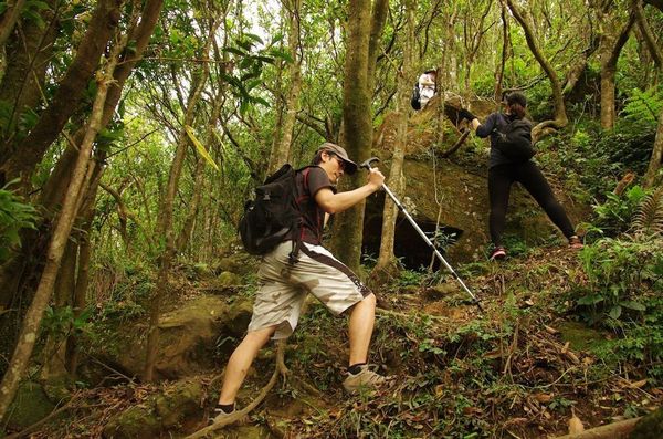
After hiking in the trees for a bit the trail makes a short rope climb up over a mini-peak.

rope climb
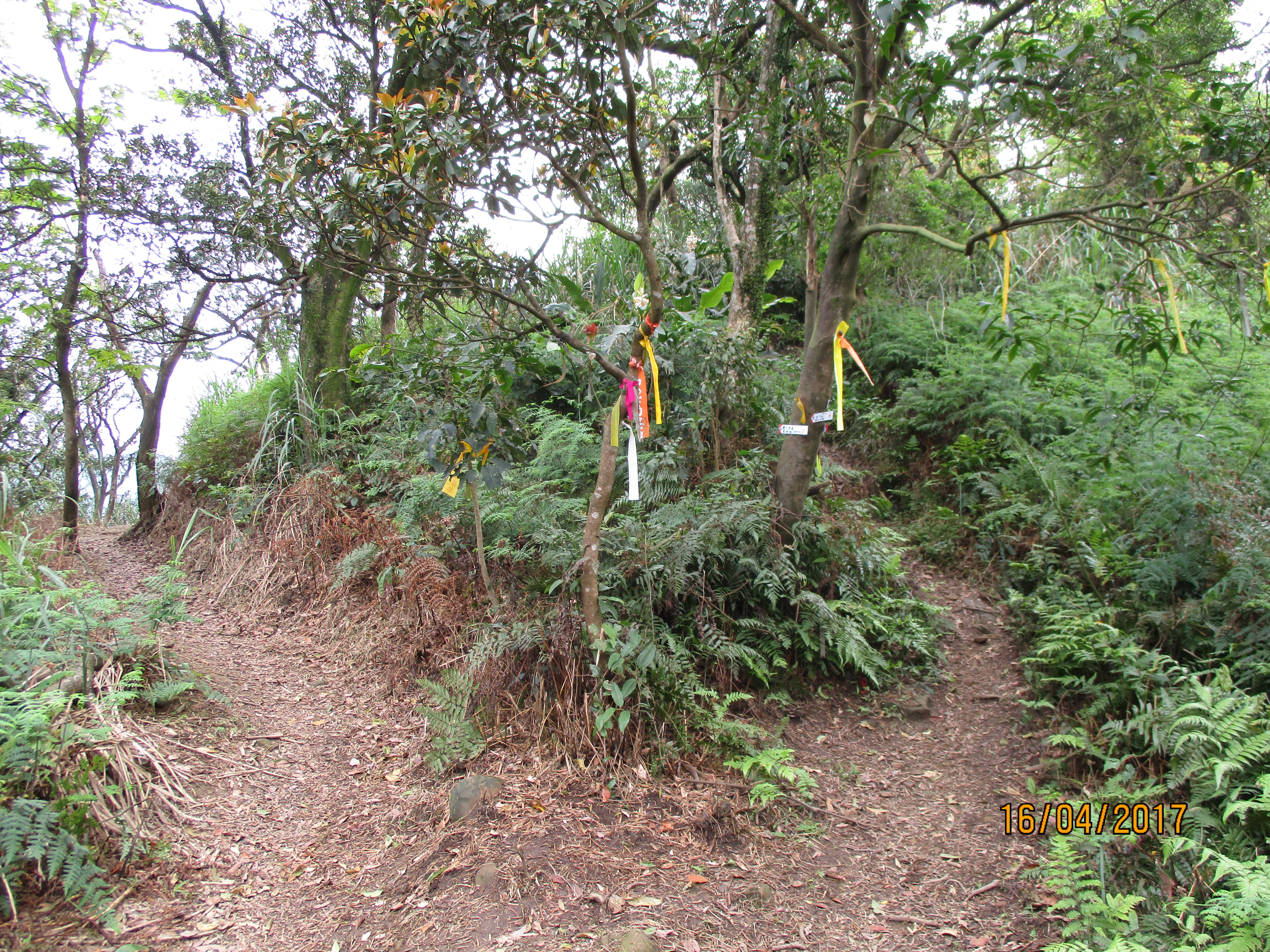
Just after the peak there is an unmarked trail junction. Turn right here.
turn right here after the ropes
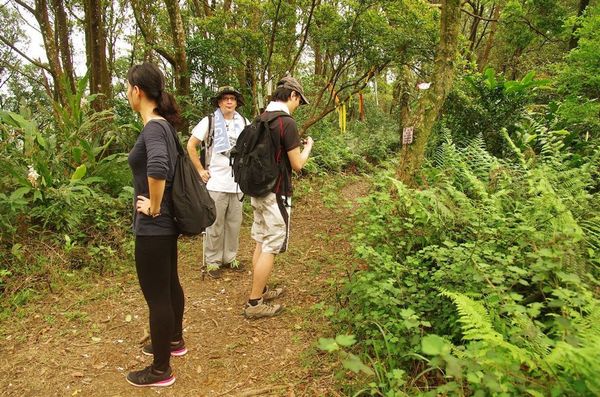
After the junction the trail continues to follow the ridge. Keep following the main trail as it makes it way over the ridge, sometimes dipping down and going back up.
trail going along the ridge
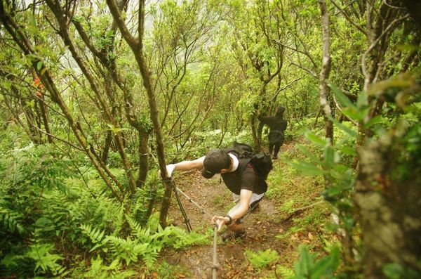
Further on the trail makes a short, rocky rope climb.
rocky, rope climb
Continuing further along the ridge the trail next comes to a short, slightly tricky rope descent along the side of the rocks.
ropes along the rocks
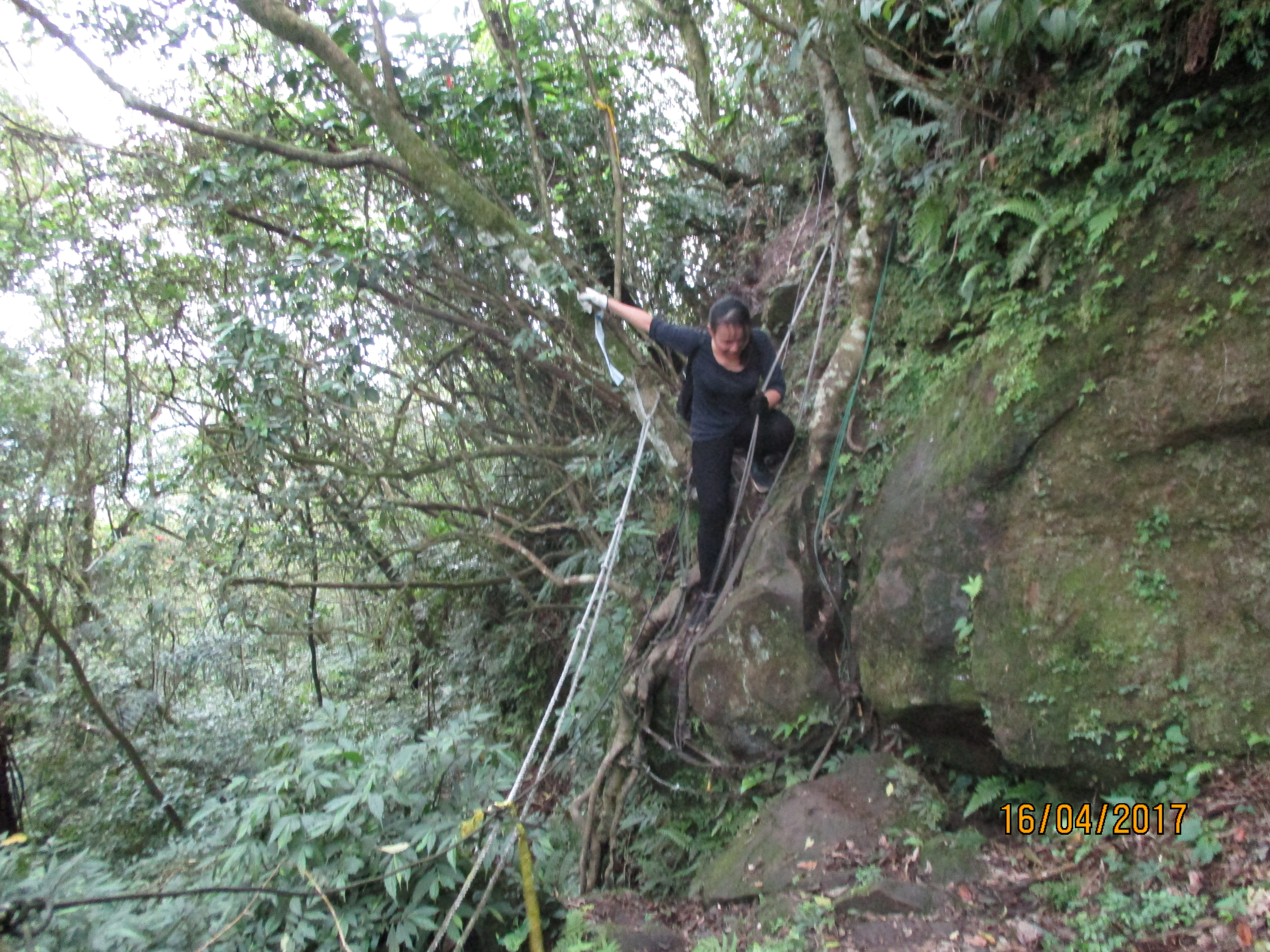
The trail continues along the ridge a little further then there is a sharp turn to the left that is not marked (ignore the minor trail that continues straight). From the turn it is a very steep, rope assisted drop to the road below.
continuing along the ridge

turn left here to make the steep drop to the road
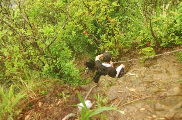
steep rope descent
climbing down
Turn left at the bottom taking the stone trail down to the road.

bottom of the ropes, turn left here
On the road there is a small temple at the sharp turn. Take the trail opposite the temple.
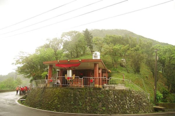
temple on the road

take this trail across from the temple
The trail to Jingtong, which is actually a rough road that provides access to power lines going over the mountain, goes along the hillside and passes a couple of large rocks.
trail passing the rocks
Keep going straight at a junction after the rocks, continuing to follow the trail/road.
keep going straight here
The trail/road continues along the hillside a little further. Then turn right at a T-intersection, marked only by flags, in front of an electrical tower. The trail begins to descend from the junction and starts to look more like an actual trail rather than a road.

continuing to hike along the trail/road
turn right here
The trail descends along some sharp turns, no longer identifiable as a road.

At a marked trail junction with a trail map keep following the trail/road which makes a sharp right turn here. The trail begins to look a little more like a road again, though very overgrown.
passing a trail junction with map, make the sharp right turn here
After this junction the trail/road begins to climb again making a couple of switchbacks. Then turn left at another T-intersection again marked only by flags.
turn left here at the flags
From the junction the trail/road descends again. Keep with the road at the next trail junction in a couple of minutes. There is a trail map at this junction.
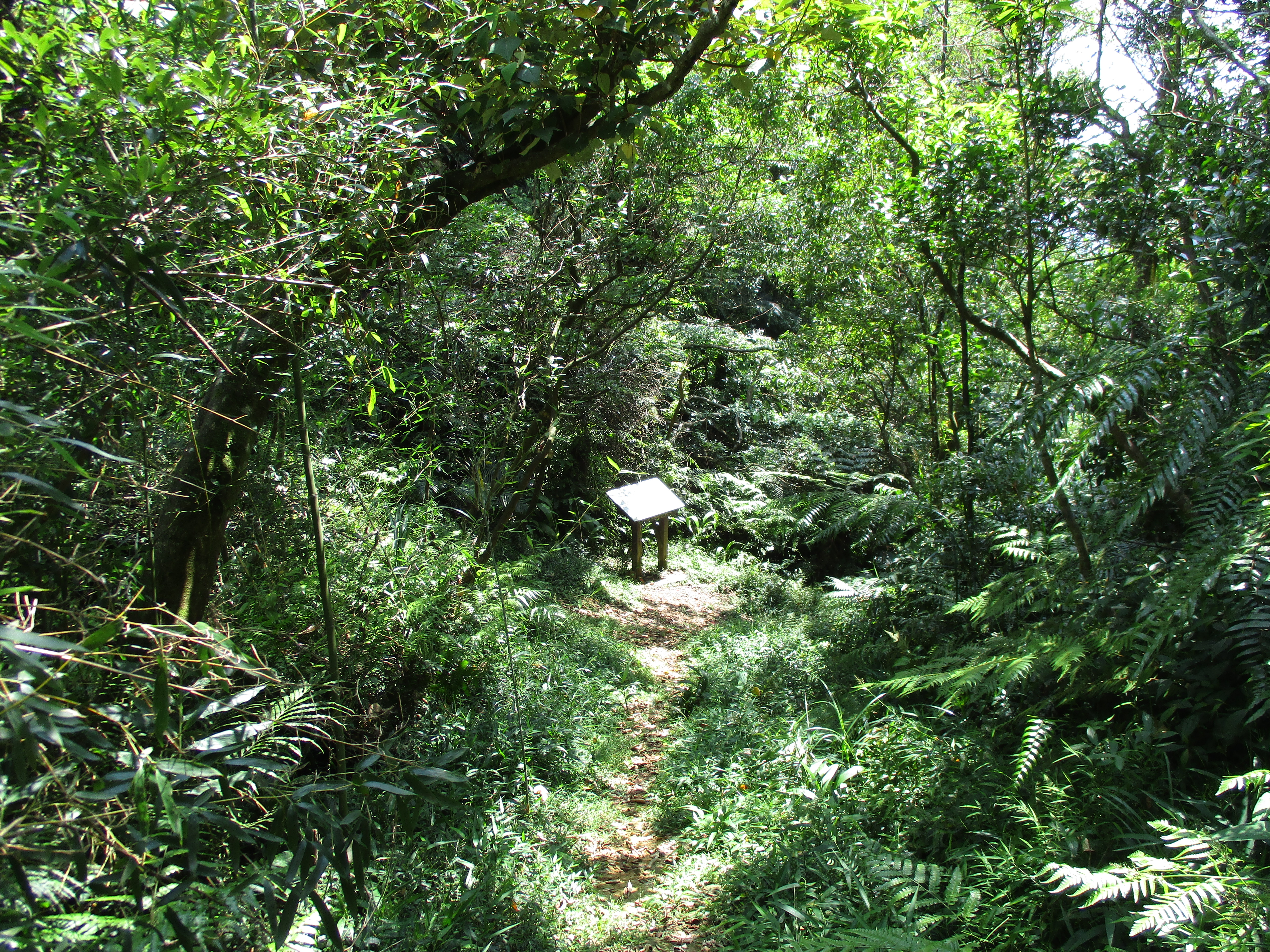
going down past a trail map
After the junction the road soon ends at an electrical tower.
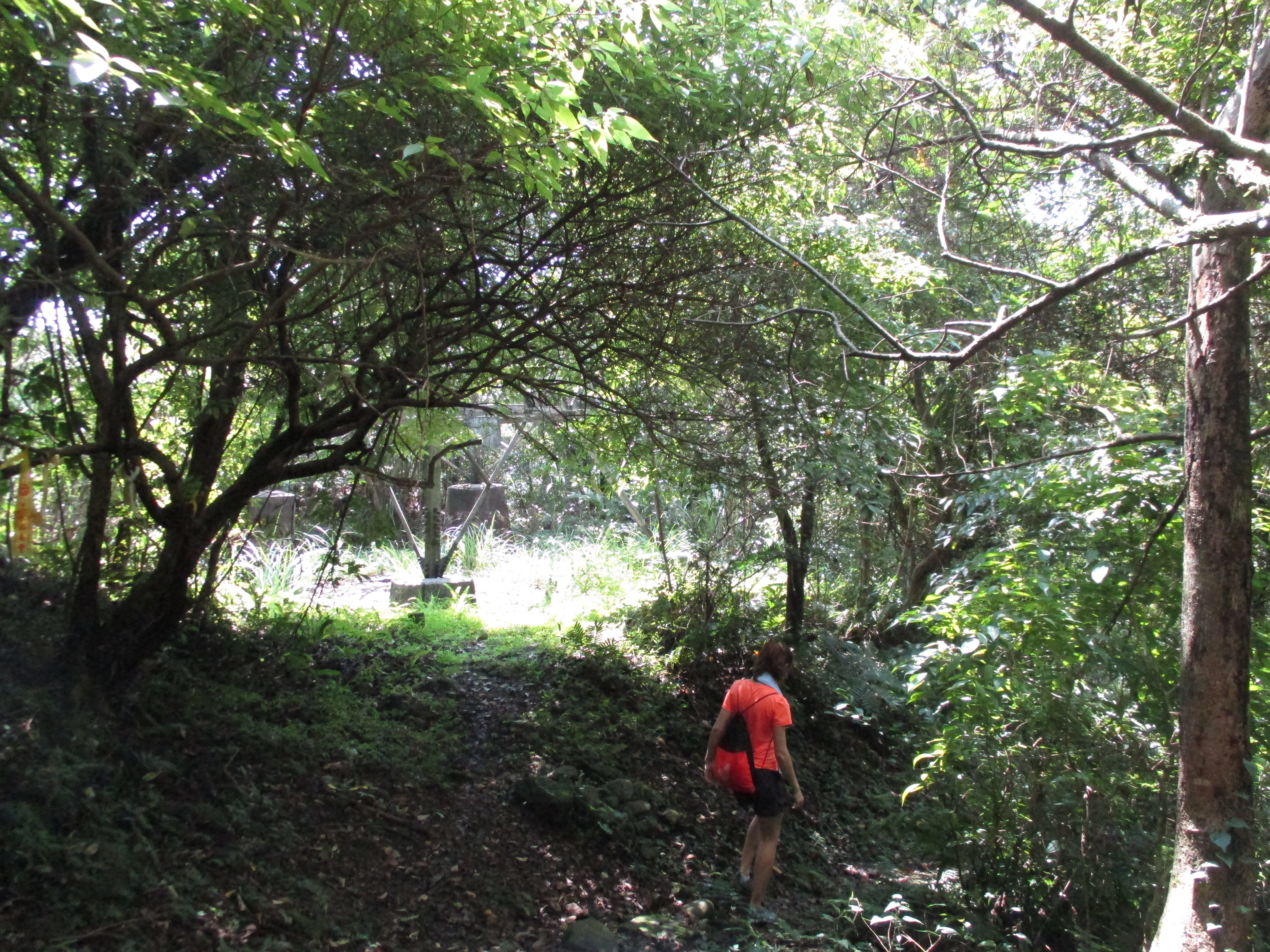
passing an electrical tower
Shortly after the electrical tower the trail passes the unusual sight of a motorcycle sitting up in the dirt.
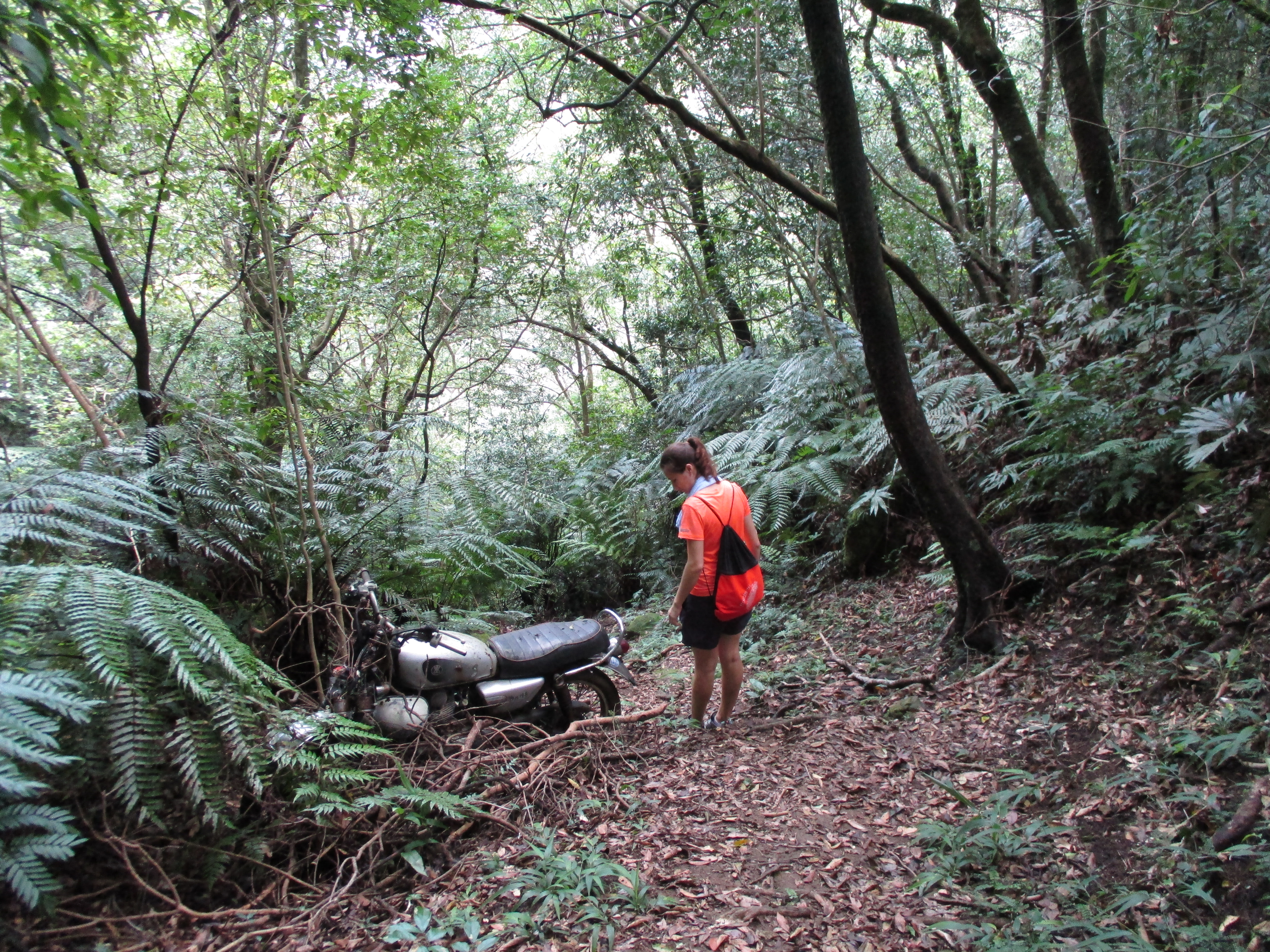
the motorcycle
After the motorcycle the trail continues to descend along the base of some rocks.
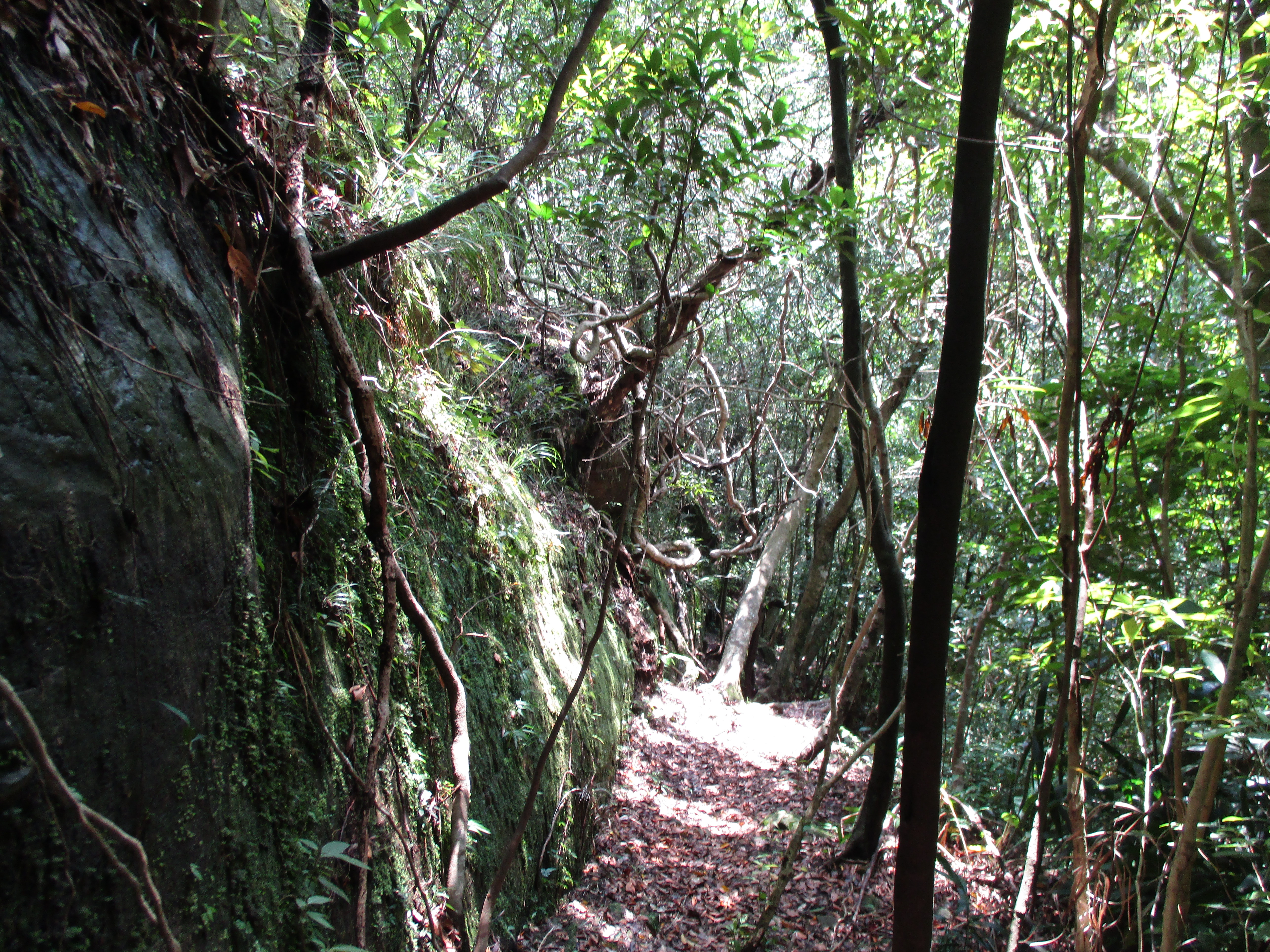
continuing down from the motorcycle
After the rocks the trail changes to a stone trail and continues the descent on stone steps. At the top of the stone trail are a couple of mining cart tunnels.

old mining cart tunnel
From the tunnels the stone trail leads down, turn left a trail junction in a couple of minutes.
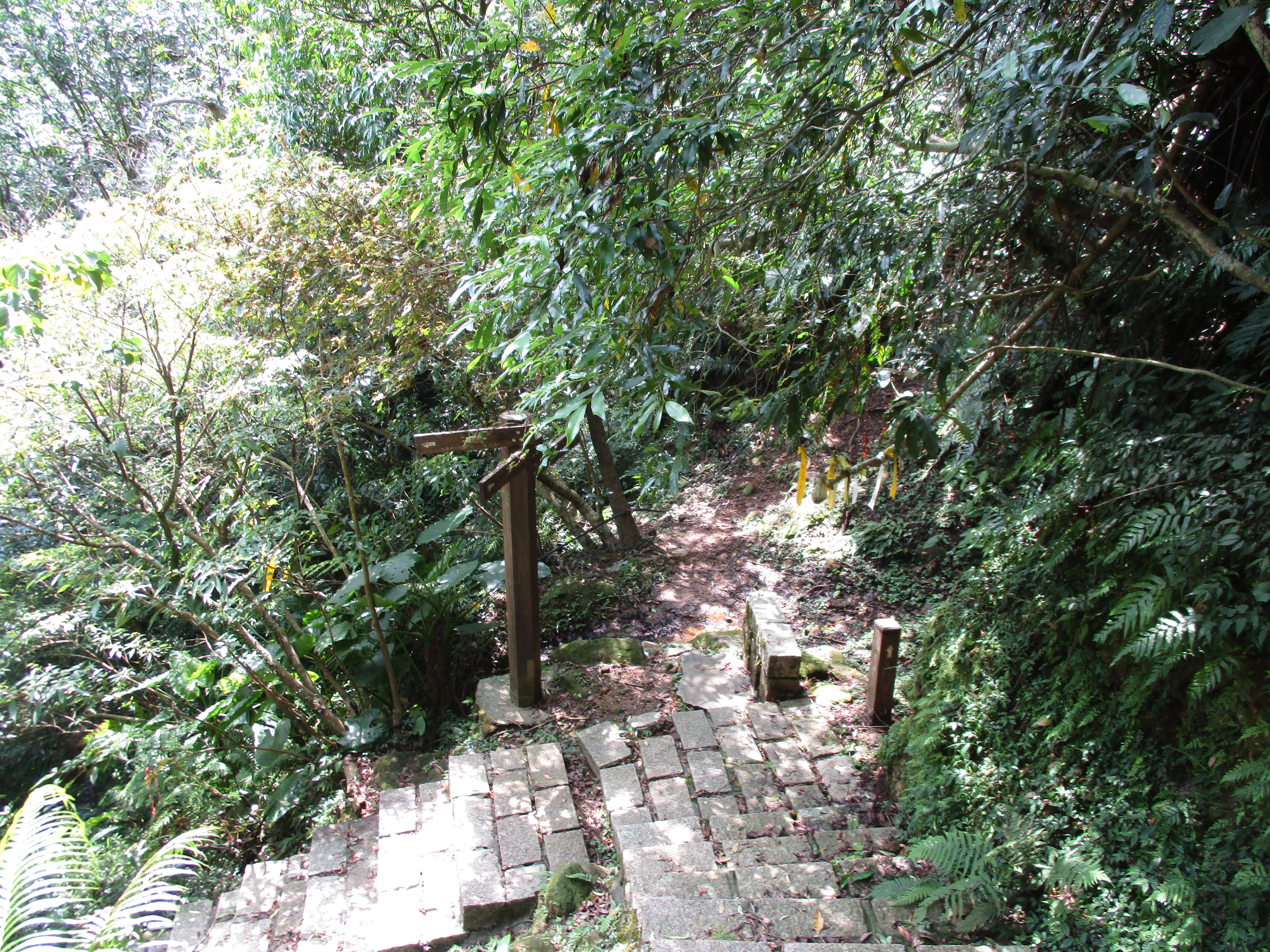
turn left here
The stone steps continue downwards along a stream, then crosses the stream over a bridge at the bottom.

steps going down
bridge crossing the stream
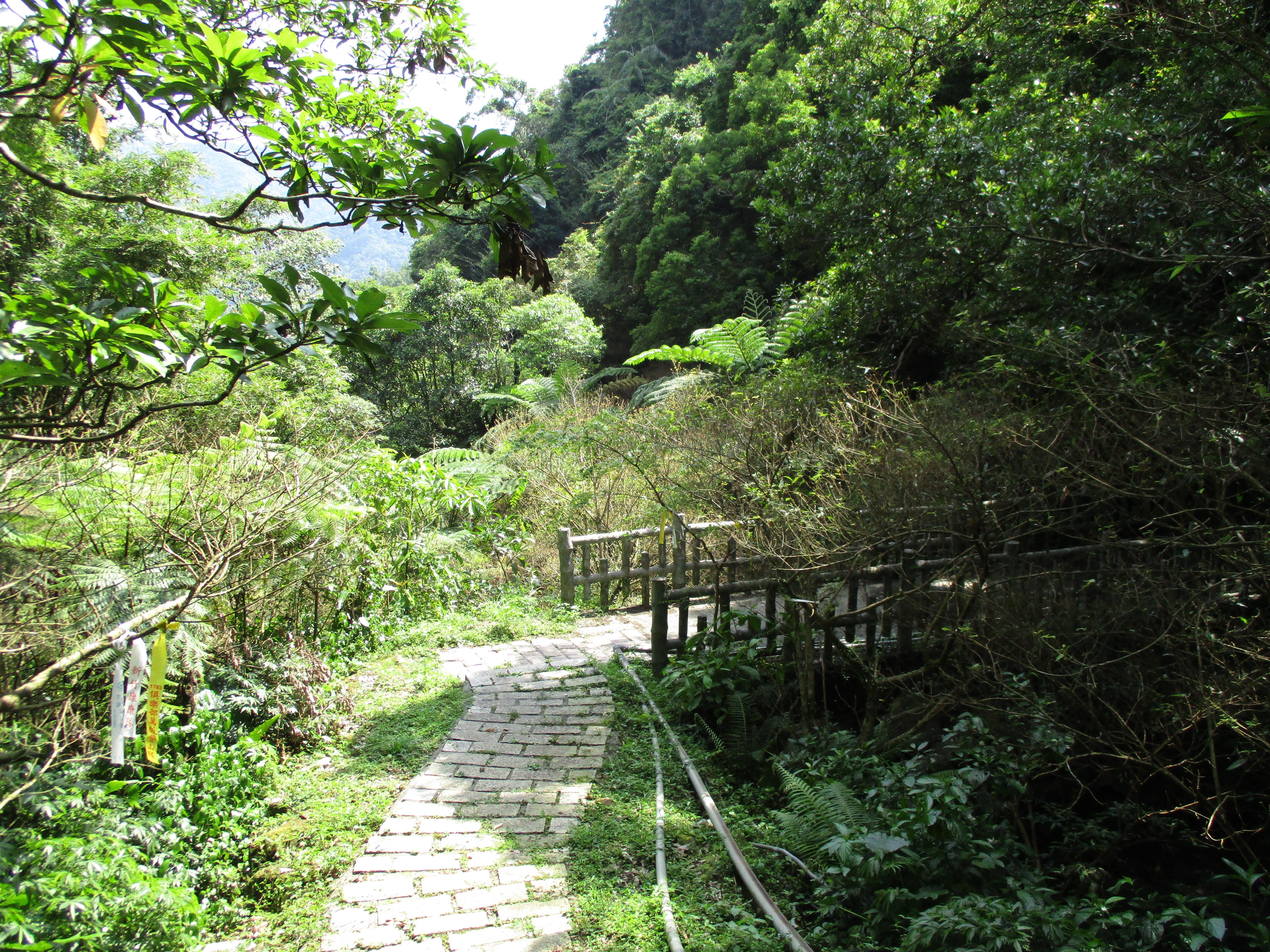
Fork left at a trail junction just after the bridge. More stone steps continue downwards then the trail crosses the stream again over another sort-of-bridge and ends at a small parking lot at the end of a road. Follow the road down to Jingtong.
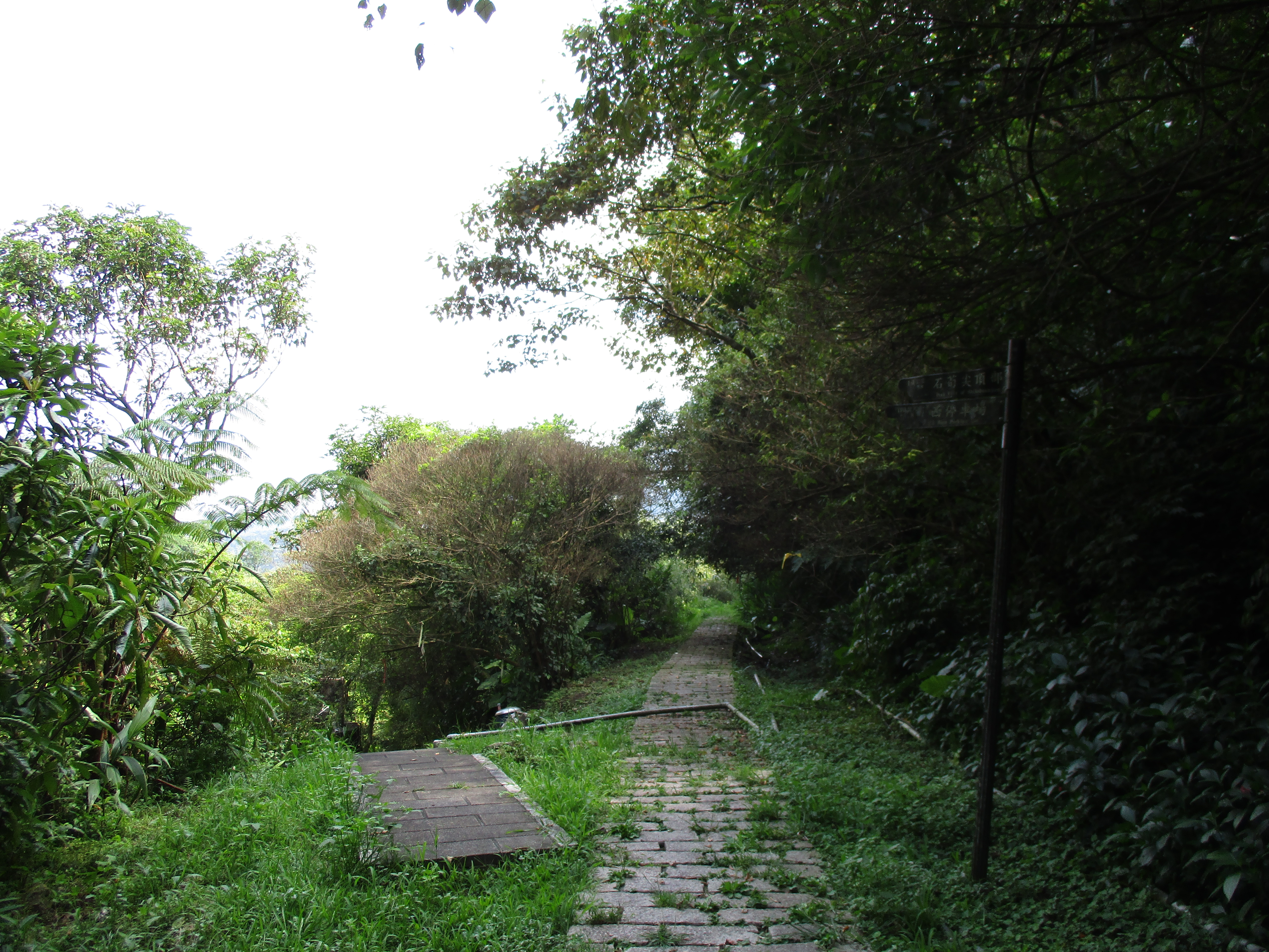
fork left here
stream crossing
Once in Jingtong, the small old street is a great place to get coffee and snacks after the hike. To return to Taipei, take the bus which runs frequently to Muzha MRT Station. The bus is much faster than the train.
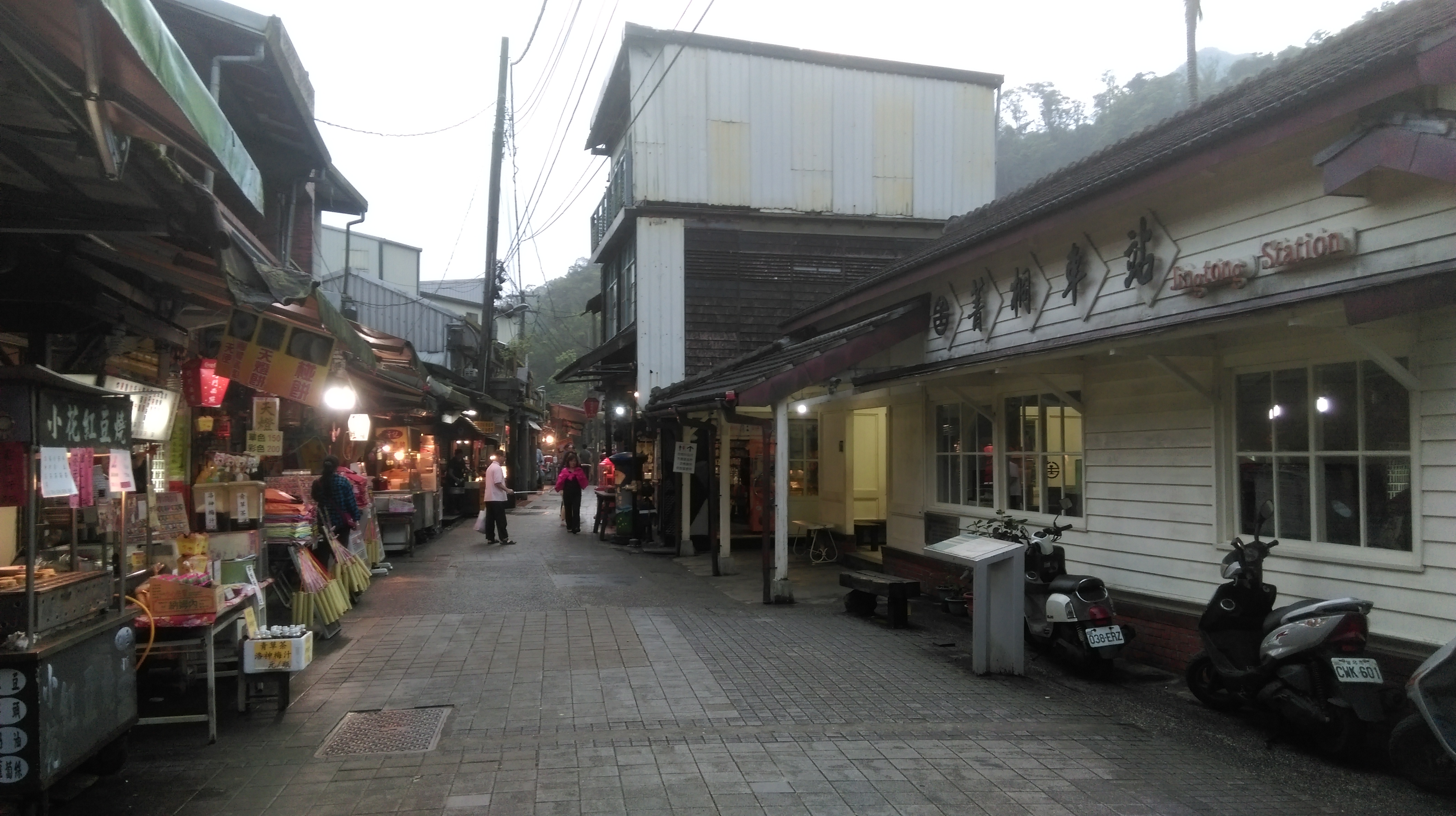
Jingtong old street
Map of the Hike
