Datun Stream Trail
Yangmingshan National Park
This hike follows along Datun Stream then makes a steep climb out of the valley to the peak of XiaoGuanyinShan and finishes at the Erziping car park.
Length: 10km, 4 hours
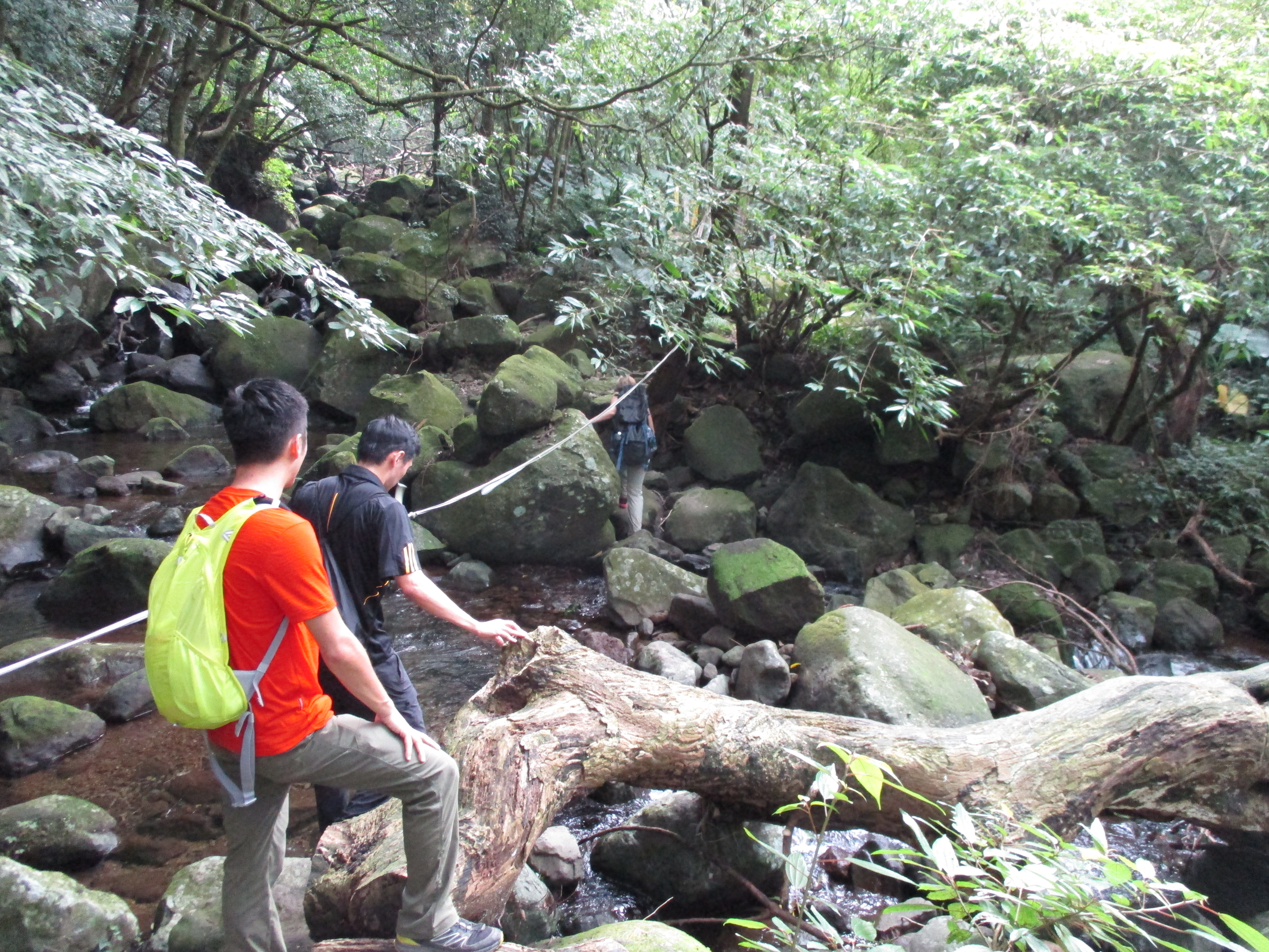
Trail Conditions: narrow dirt trails, bridgeless stream crossings, very steep climb to the peak, short rope and rocky sections.
This hike is fairly popular and there will be numerous other hikers on it on weekends.
There are no signs or trail maps anywhere.
This hike should only be done if it has not rained for a couple of days on Datun, the steep climb is impossible and even dangerous in muddy conditions.
Long pants should be worn as low-lying plants with sharp thorns along the peak will cut legs.
Access: take bus 876 from Tamshui MRT Station at 9:30 or 11:40 and get off at the 龜子山橋 stop
The Hike
From the bus stop it is about a 3km road walk to the trailhead. See the map at the bottom of the page for how to walk to the trailhead. Along the way there is an old bridge that you can walk across.
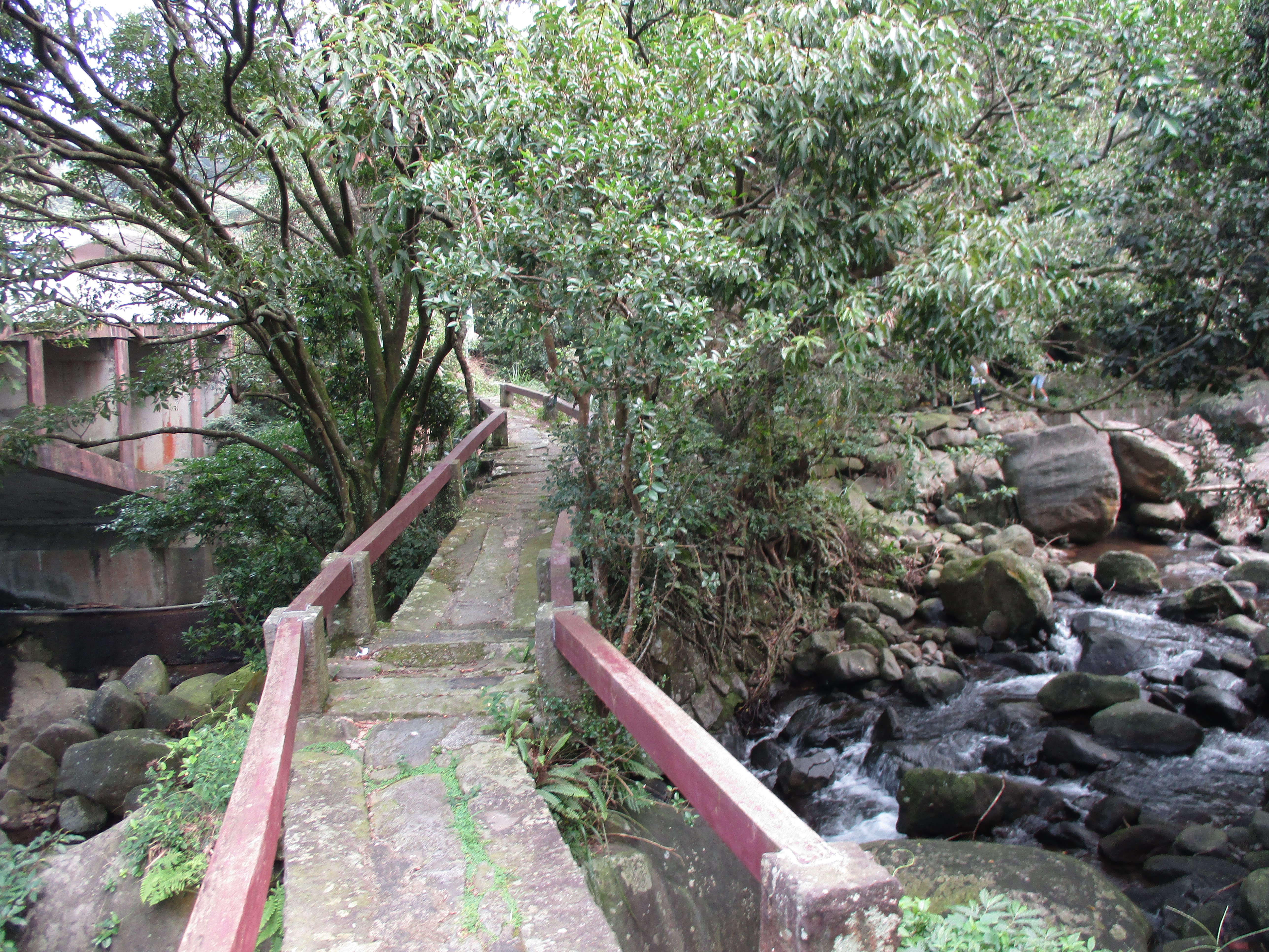
old bridge
Further on from the bridge after a long bend in the road turn right then fork left. This narrow road leads up the valley to the trailhead. When passing the two houses on this road dogs will likely come running out of the yards to bark at you, ignore them and keep walking. After the houses the road heads deeper into the jungle and dead ends at a fork. The left fork is a driveway to an abandoned house. The right fork is the trailhead.
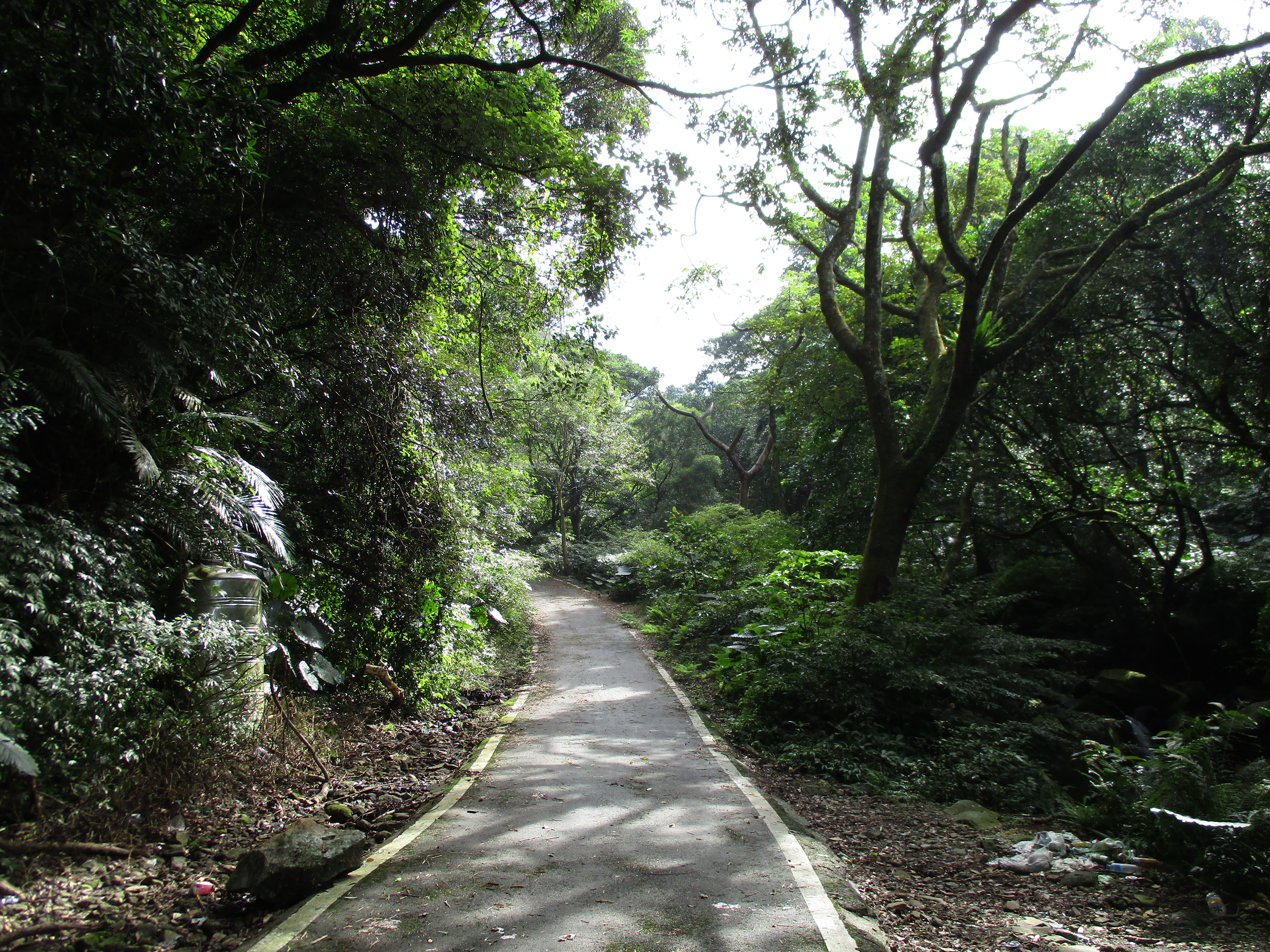
walking on the road to the trailhead

end of the road
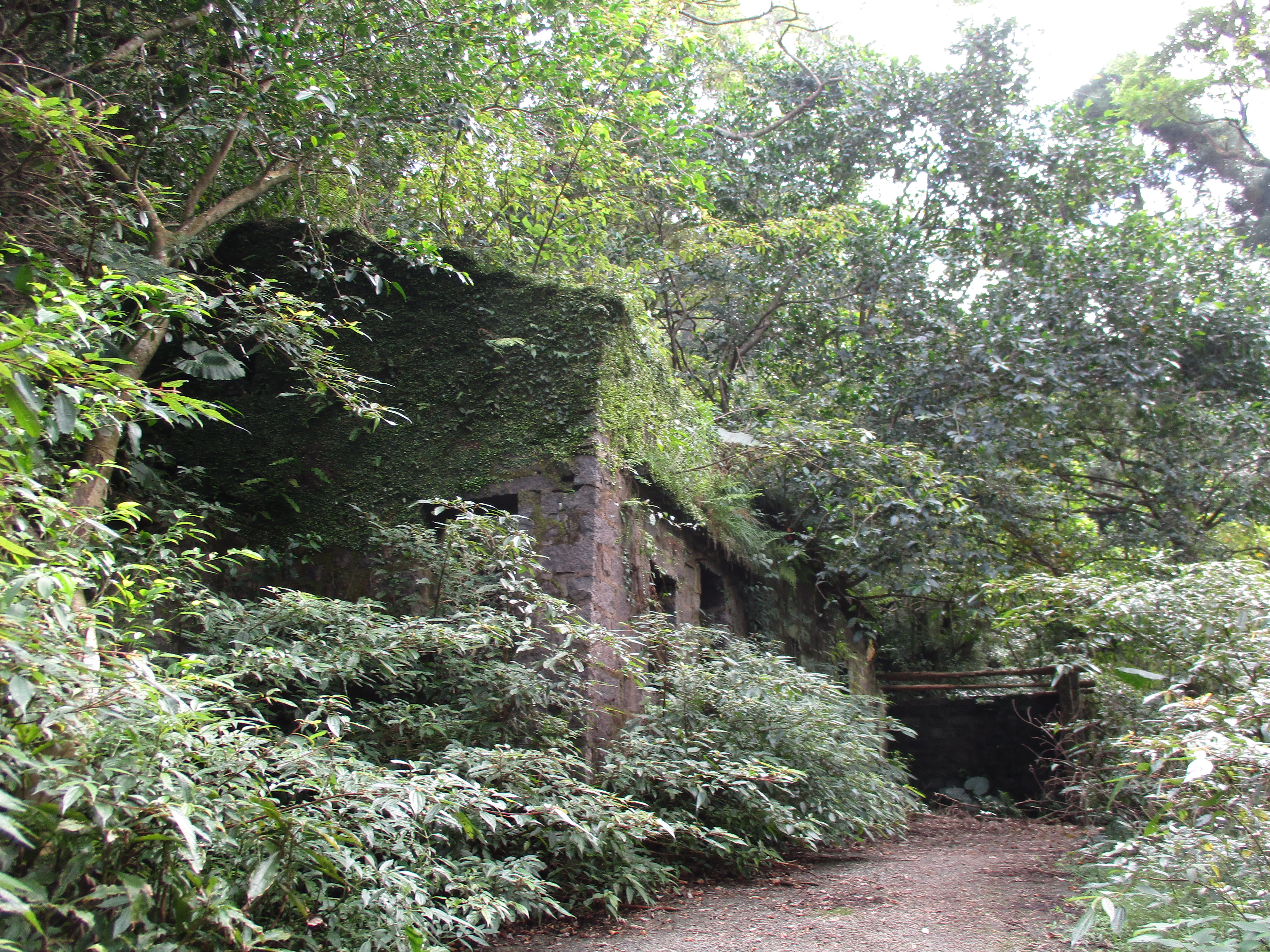
abandoned house
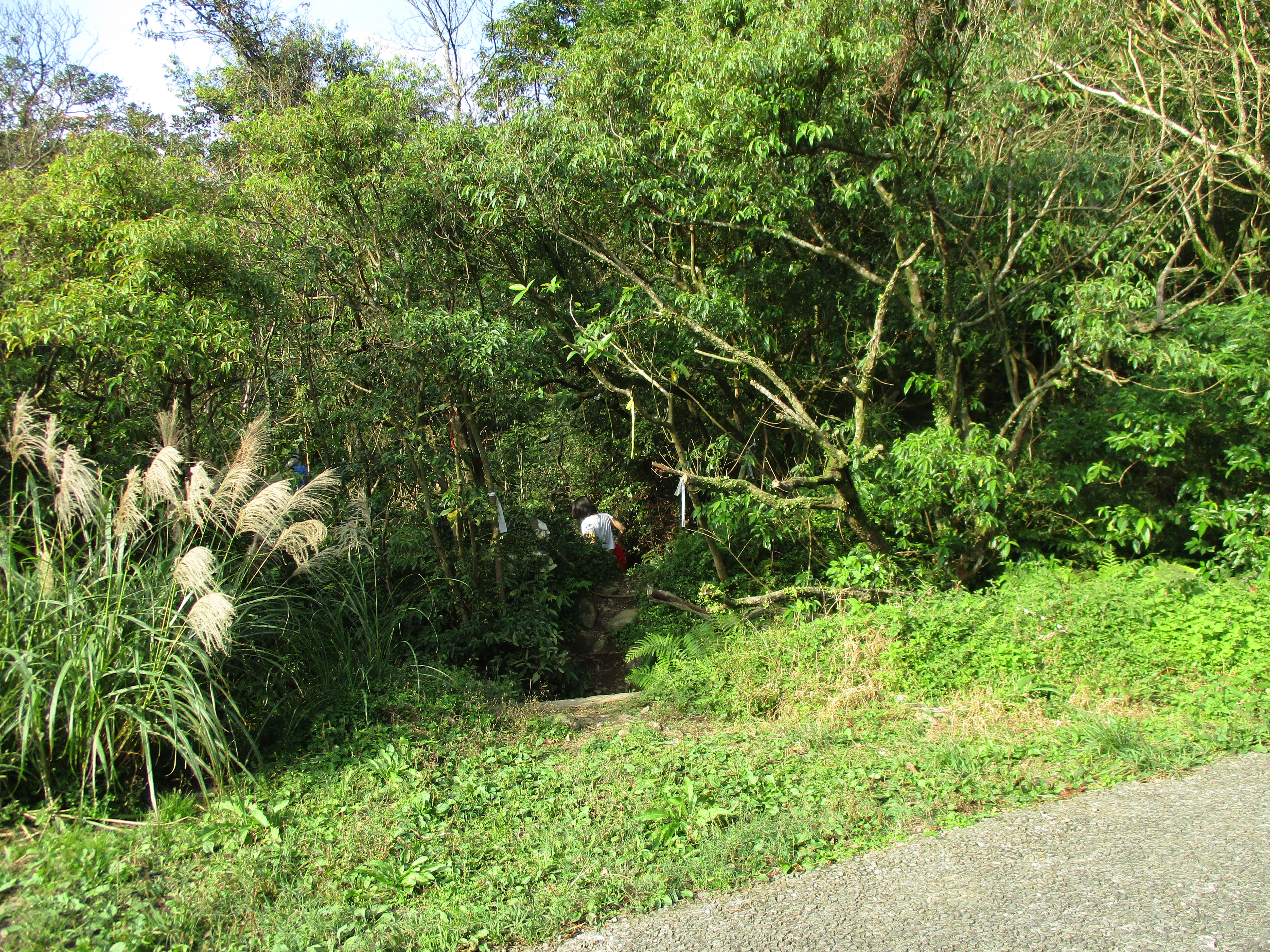
From the trailhead you’ll quickly come to the first stream crossing.
first stream crossing
After the crossing the trail heads up the right bank for a while and crosses a tributary stream along the way.
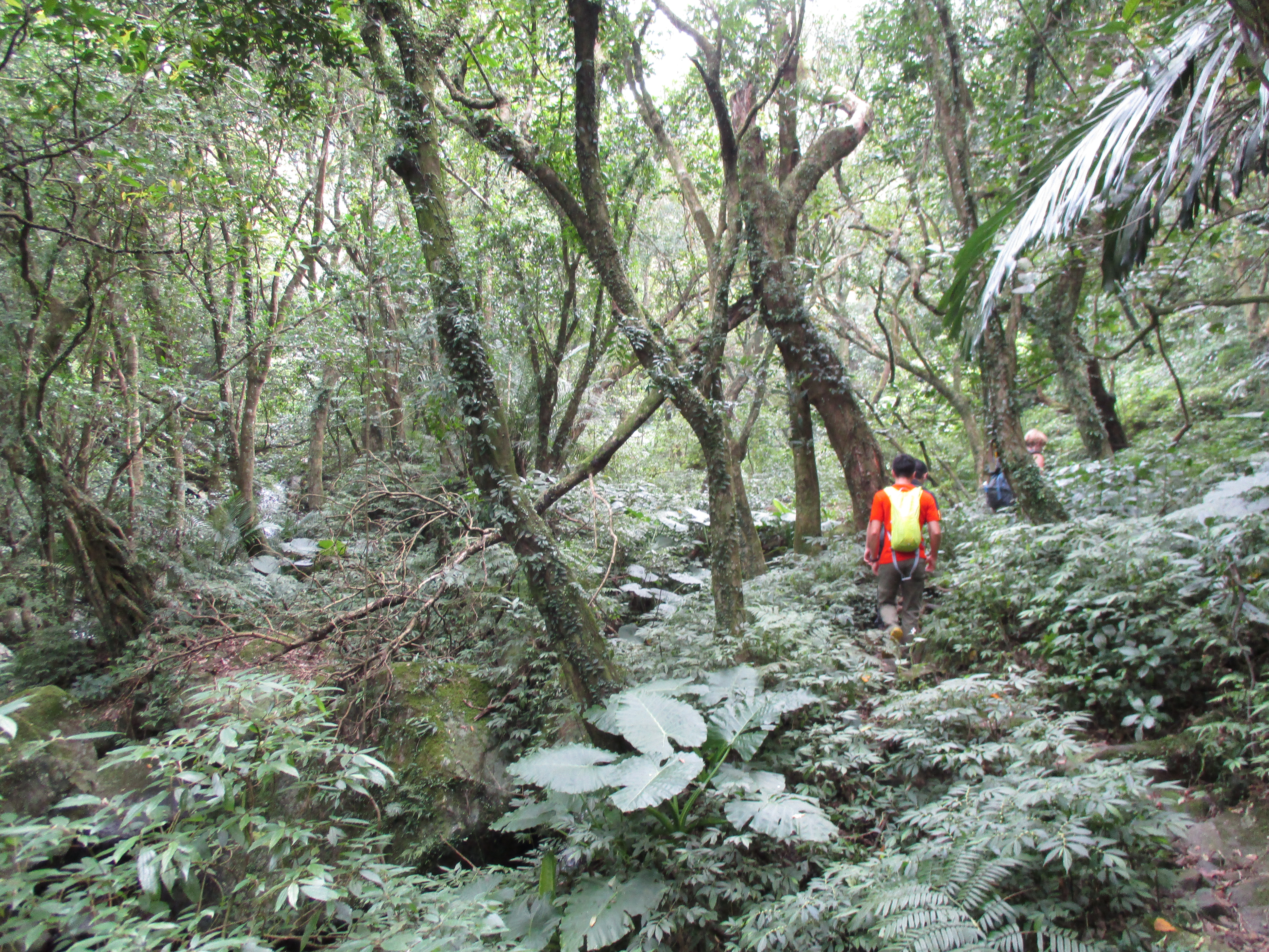
trail along the stream
The trail continues to follow the right bank.
tributary stream crossing
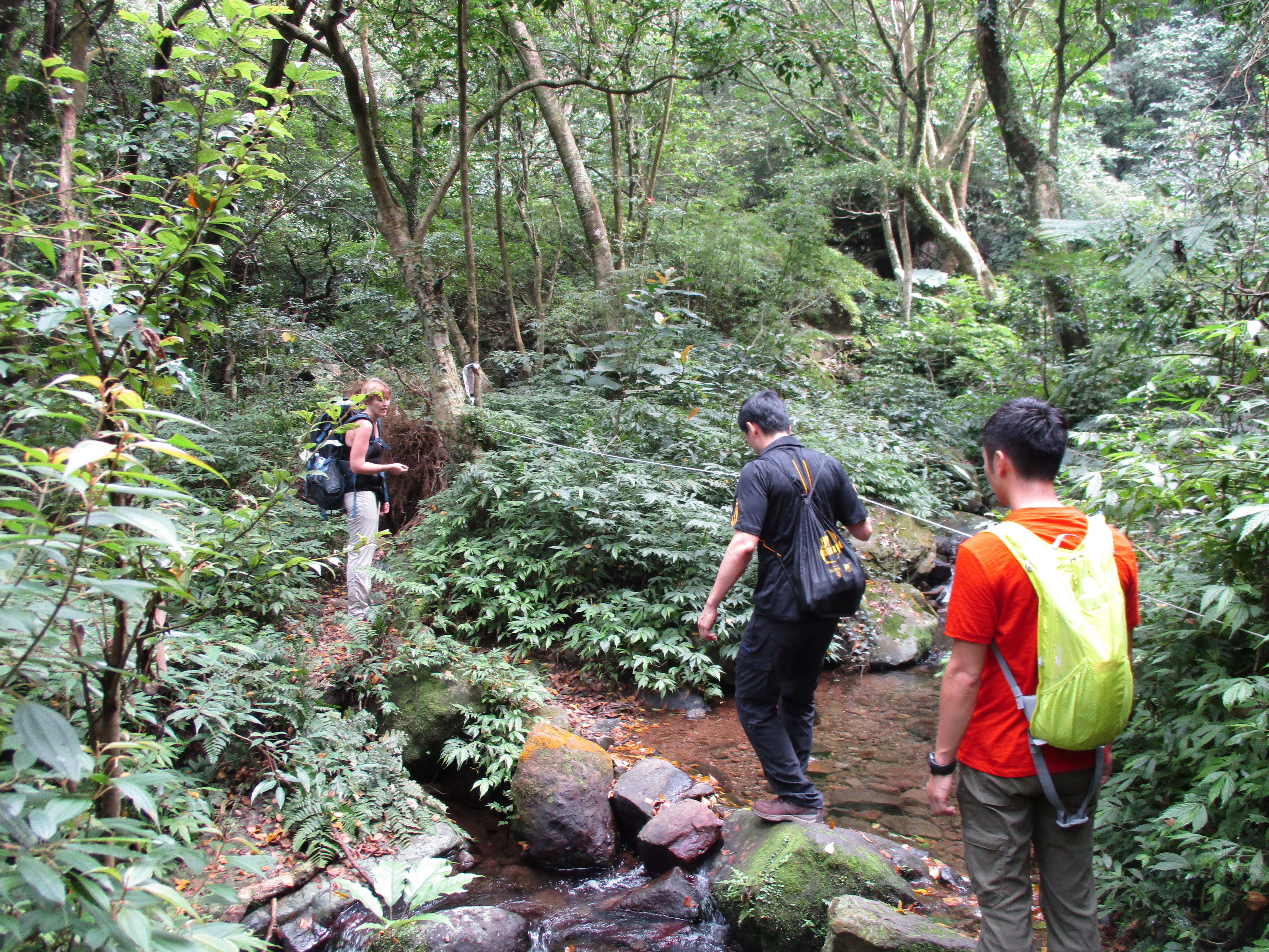
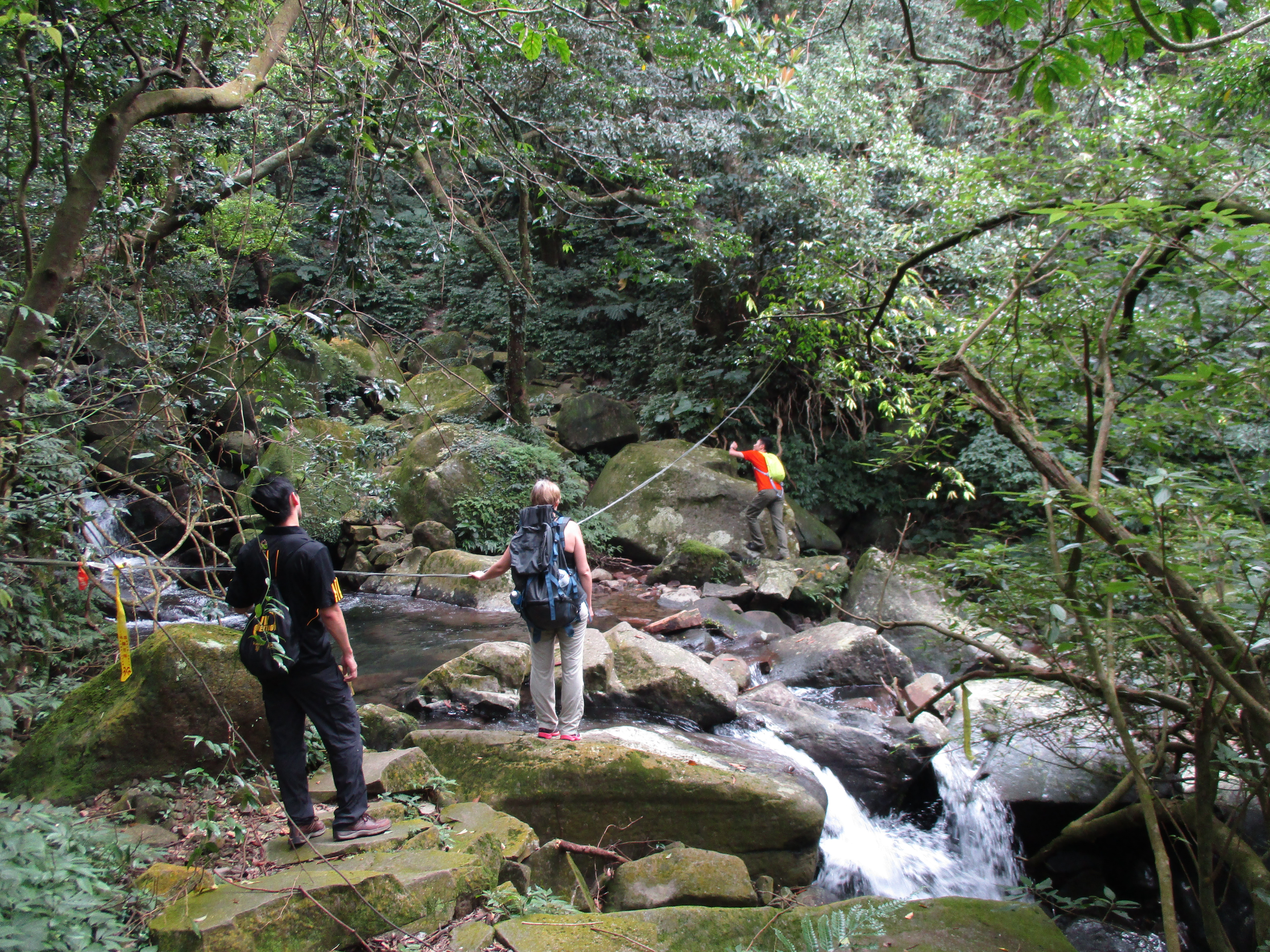
Further on the trail crosses the Datun Stream again and passes trail marker No. 1 at the crossing.
trail along the stream

second stream crossing/trail marker No. 1
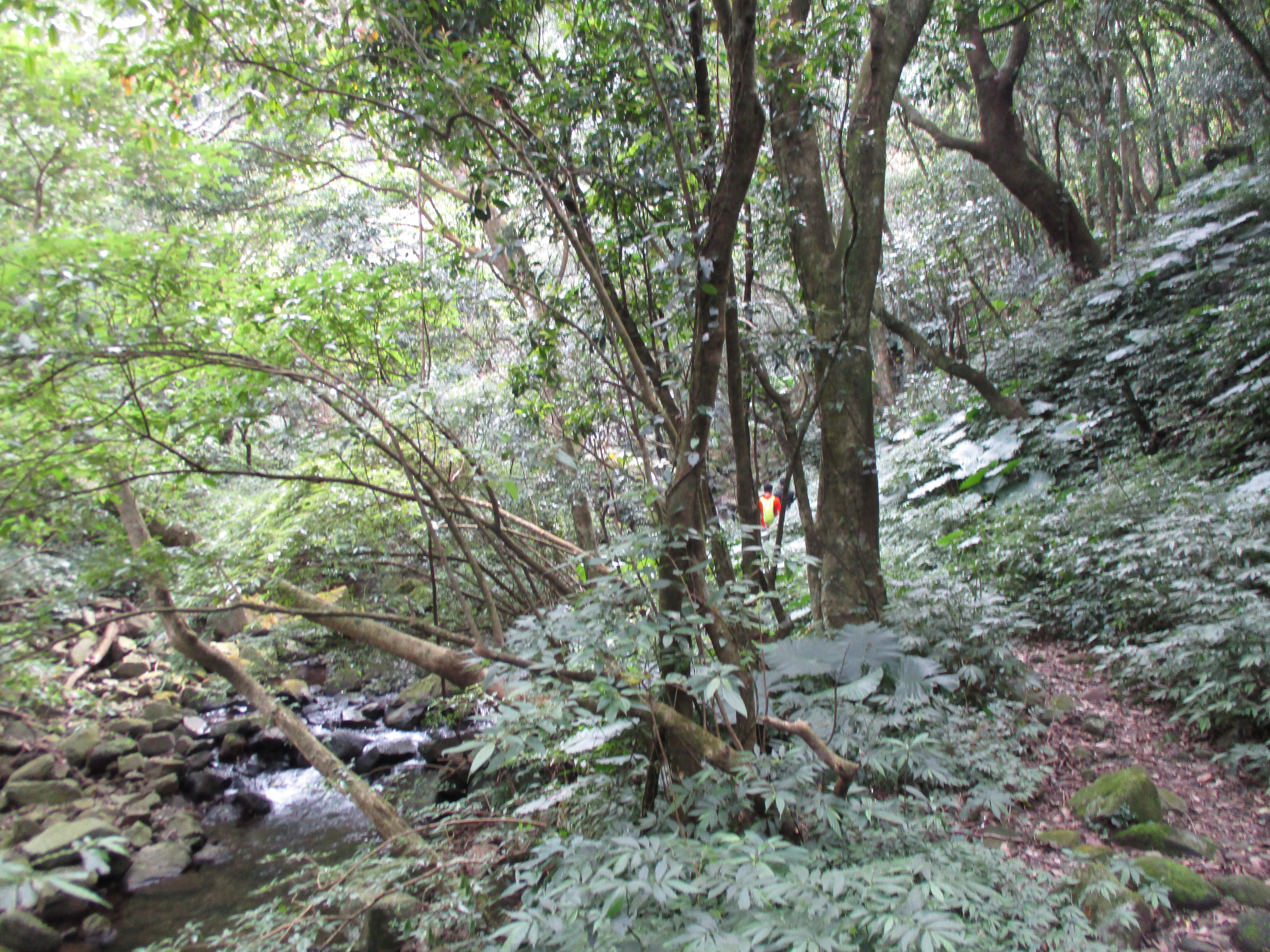
Then it’s high above the left bank for a bit before crossing the stream again.
hiking above the stream
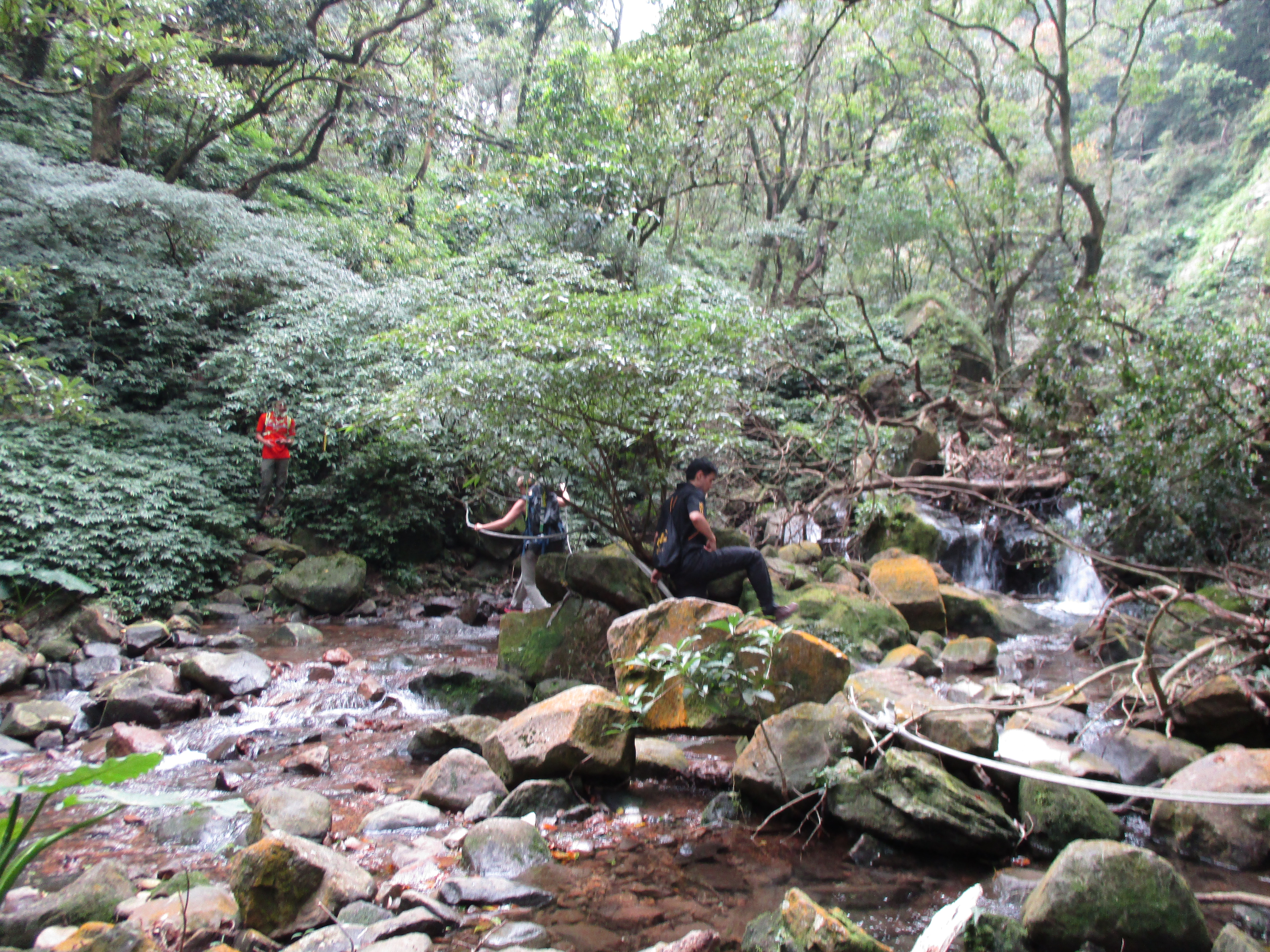
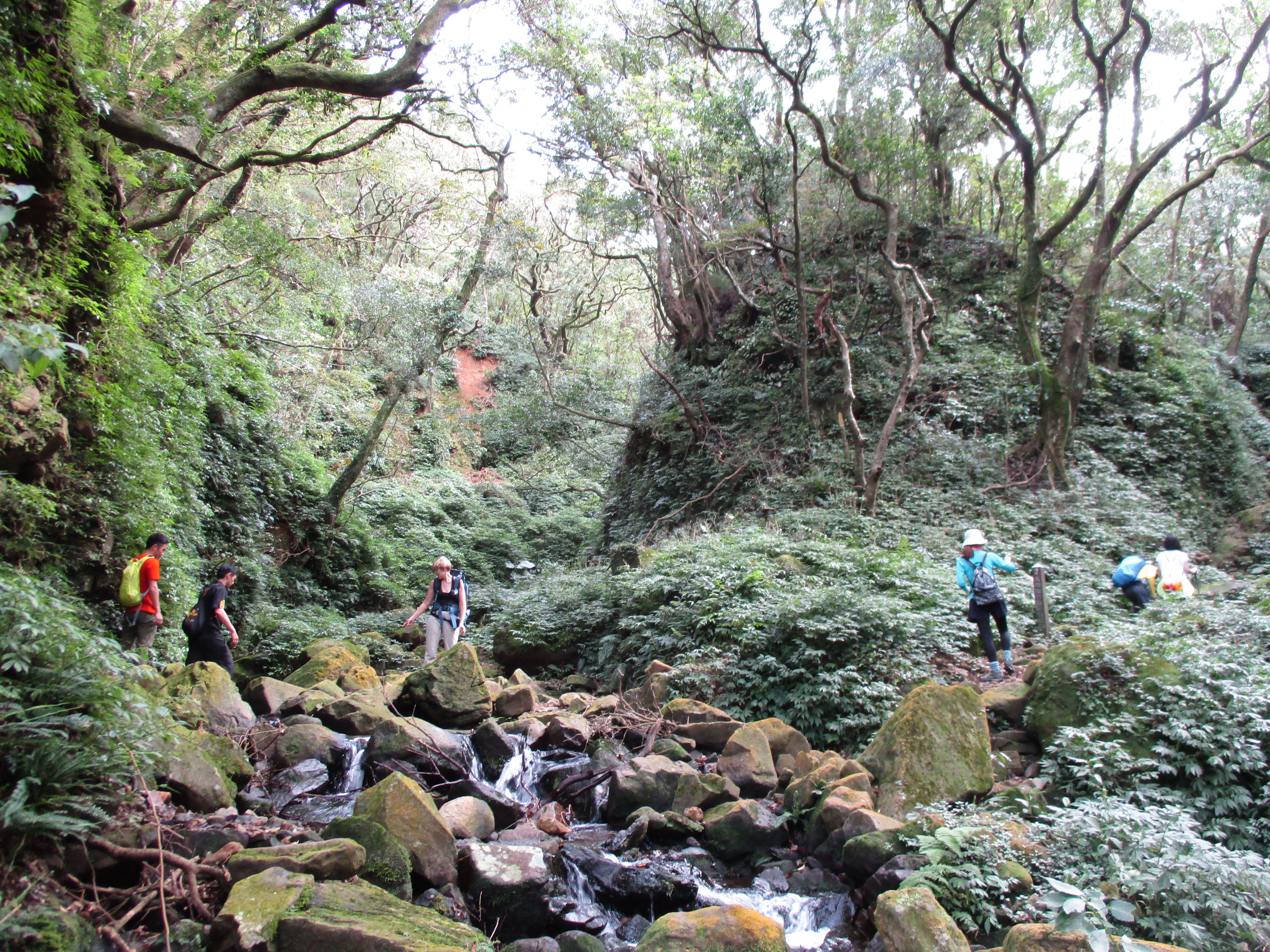
Keep going straight at any trail junctions along the way and continue to follow the stream. The trail then makes several more crossings in quick succession.
another stream crossing
and another
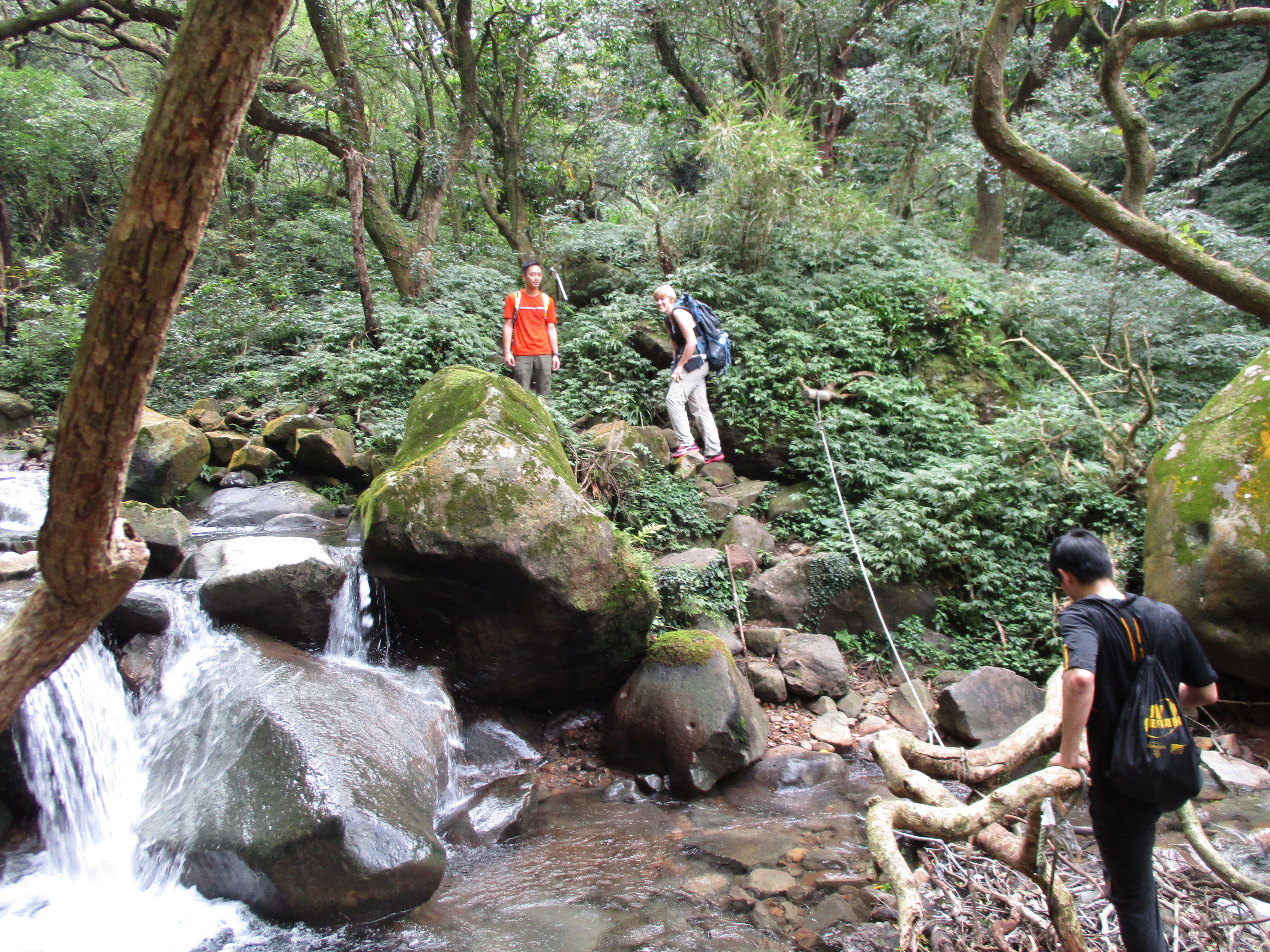
again

and again
Afterwards the trail climbs high above the left bank passing a small waterfall down below.
high above the stream with a waterfall down below
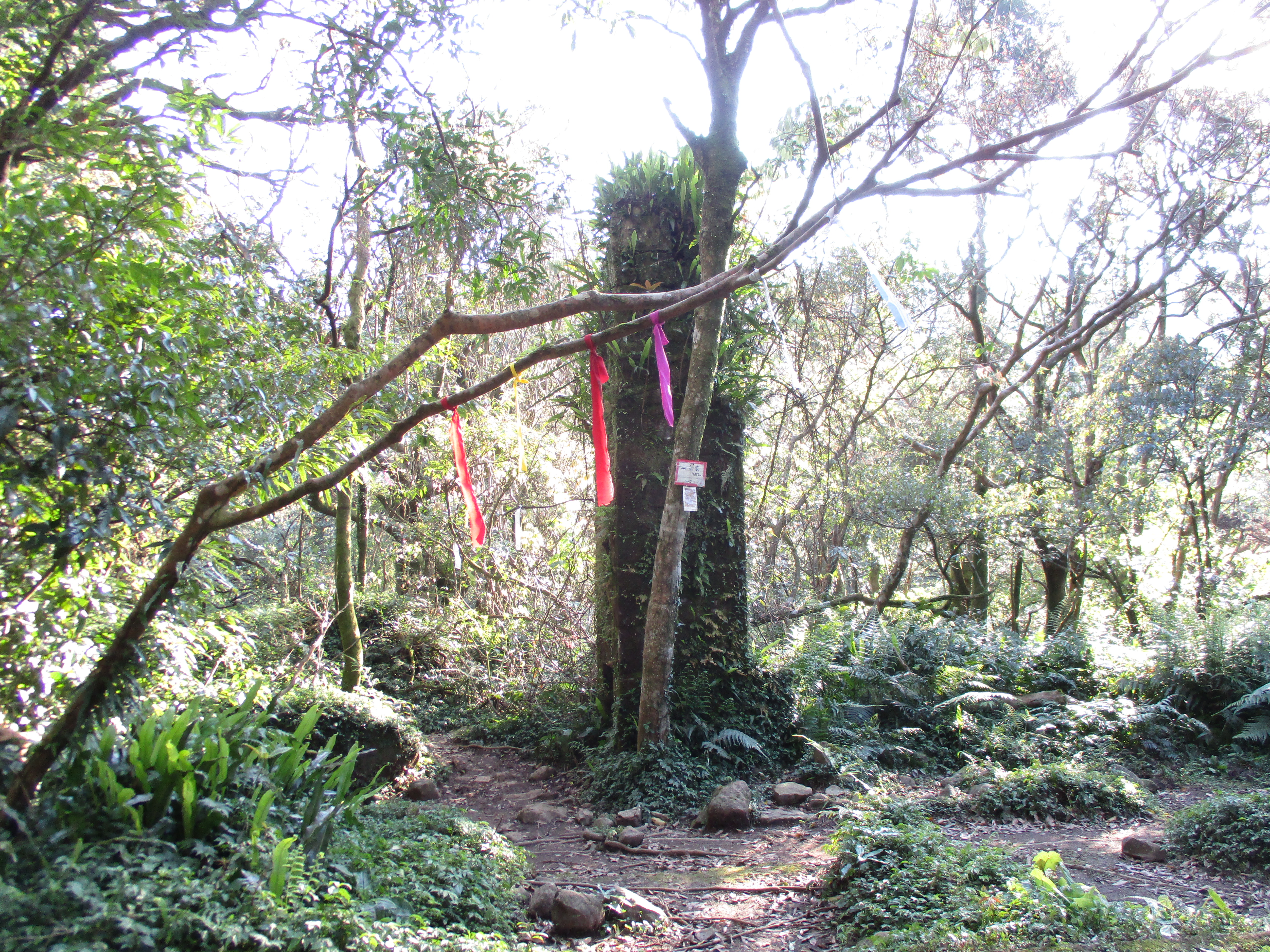
Back at stream level the trail crosses again in front of an old gold mining tunnel and passes marker No. 2.
last stream crossing/marker No. 2
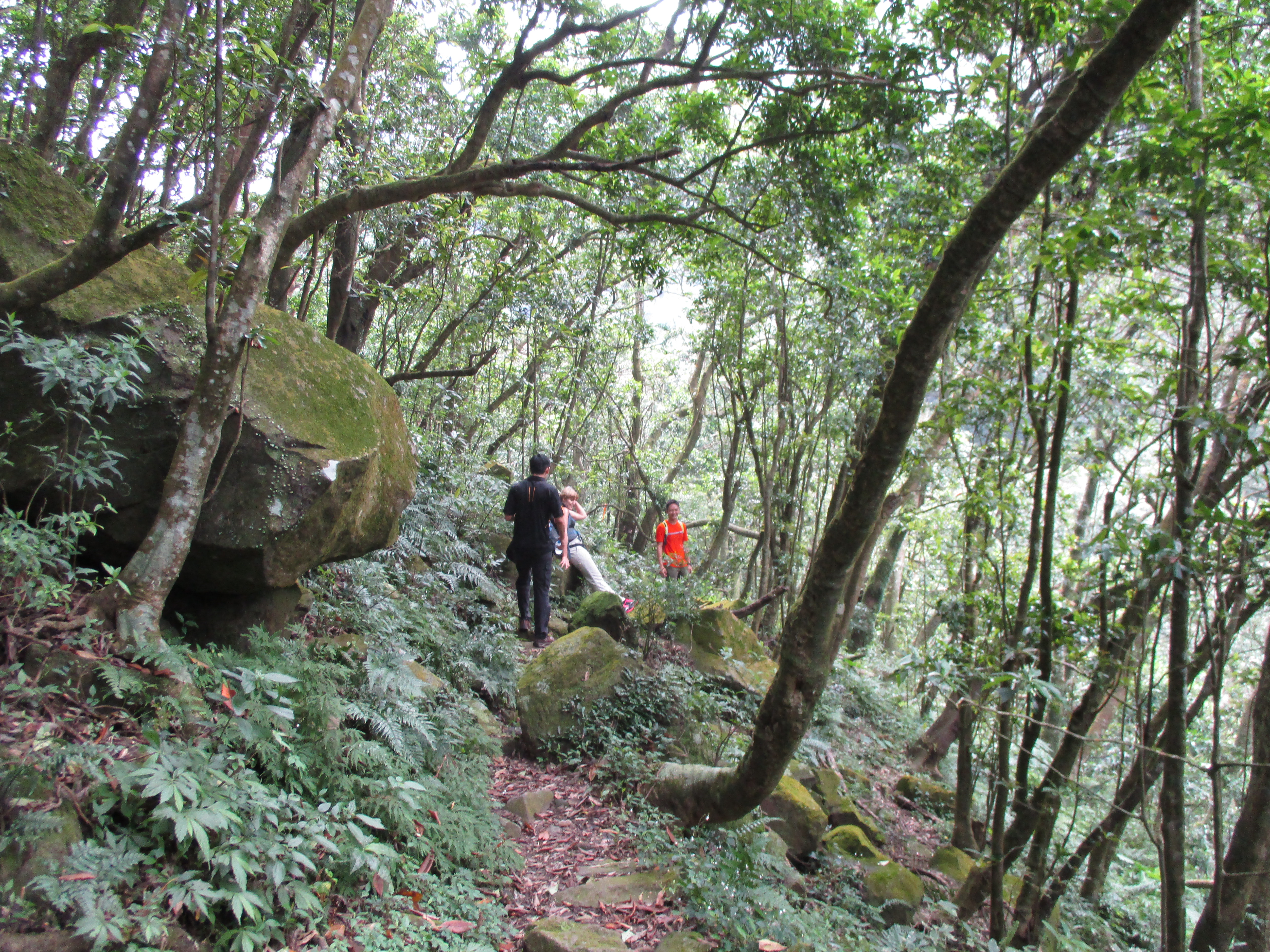
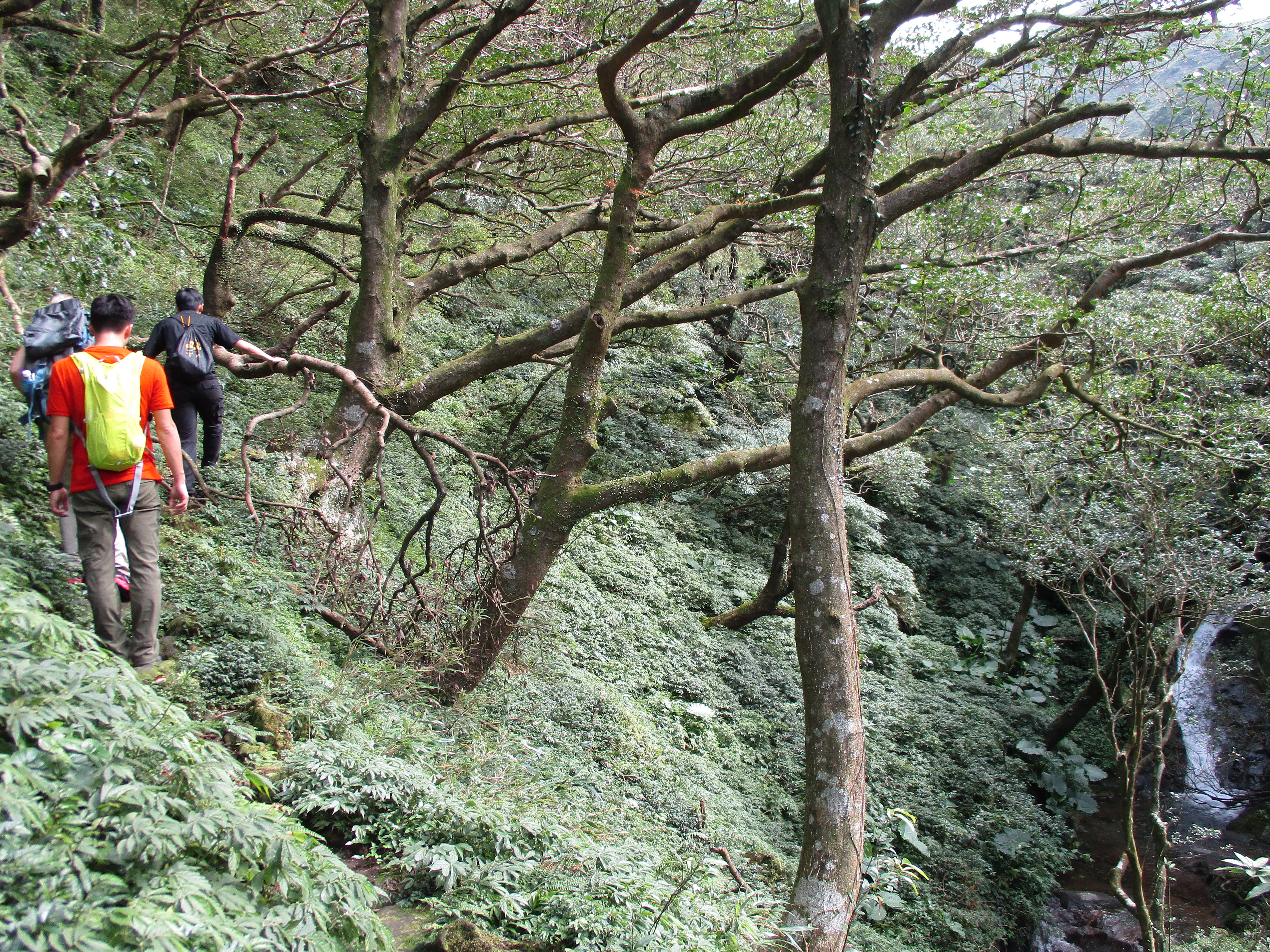
After the crossing the makes a short climb and goes along a ridge between two streams.
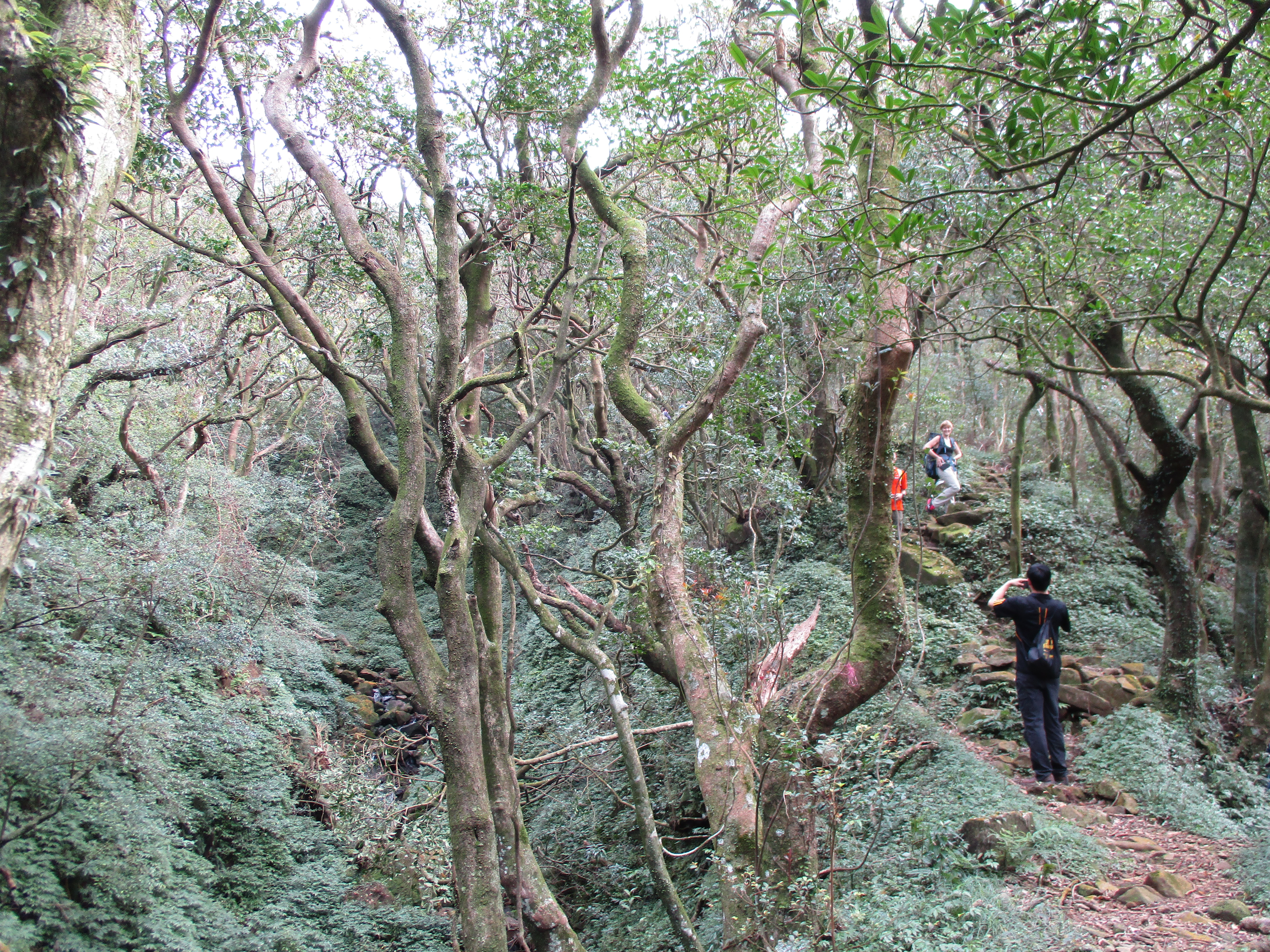
between two streams
This leads to a fork in the trail and marker No. 3. From here you have a choice of which route to take. The left fork leads up to the north peak of XiaoGuanyinShan. See my YMS Gold Mining Tr. page for more information on hiking along the north peak.
The right fork is the shorter hike but slightly more difficult climb up. This page continues to follow the right fork.
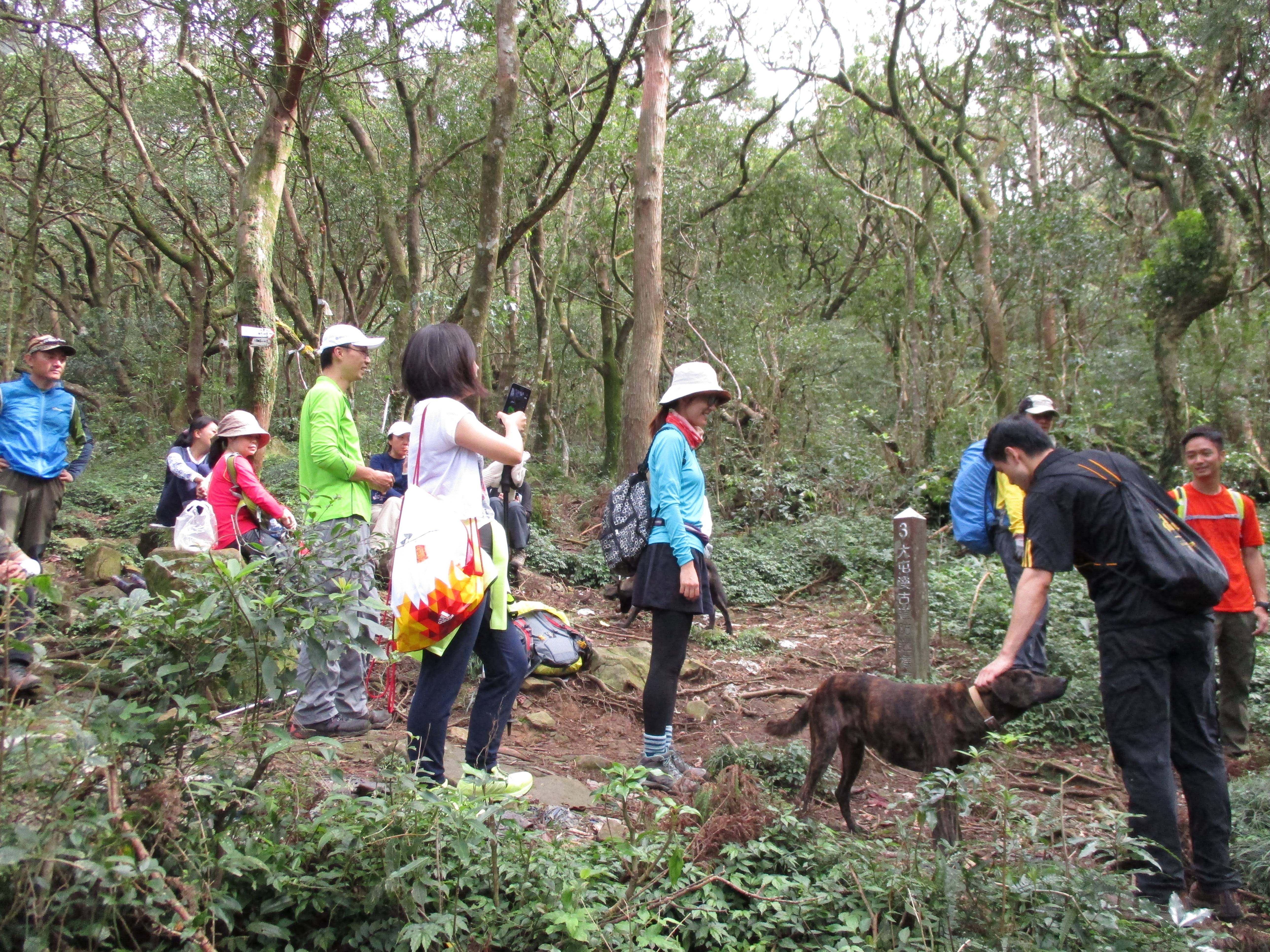
trail junction/marker No. 3
From the fork the trail goes along the hillside a crosses a couple of usually dry streams. Then it passes marker No. 4 in the bamboo before starting the steep climb out of the valley. At first there is nothing to hang onto, just grab handfuls of bamboo to help pull you up.
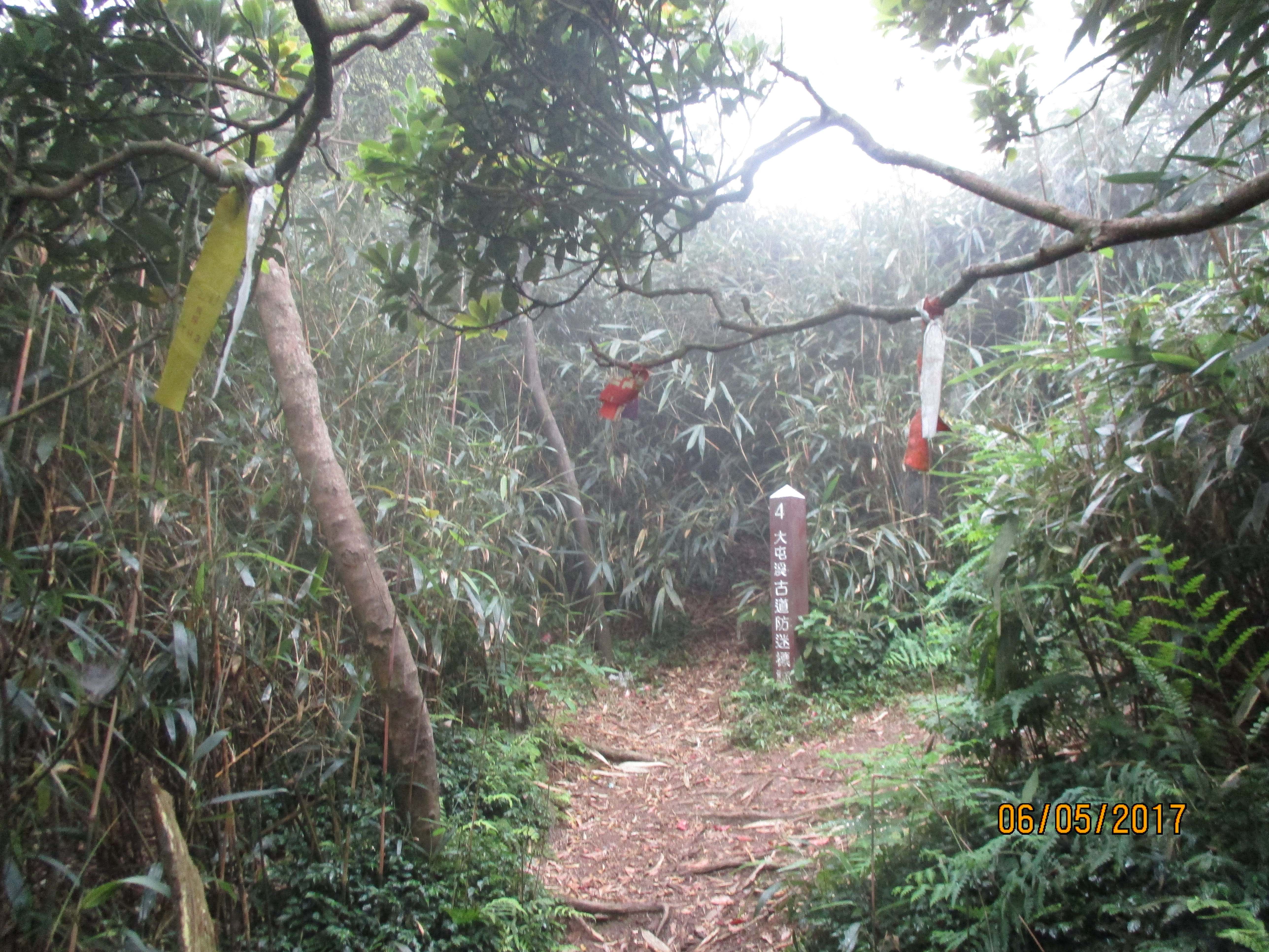
marker No. 4/start of the steep climb to the peak
Halfway up there are some ropes to help with even steeper sections.

climbing up through the bamboo
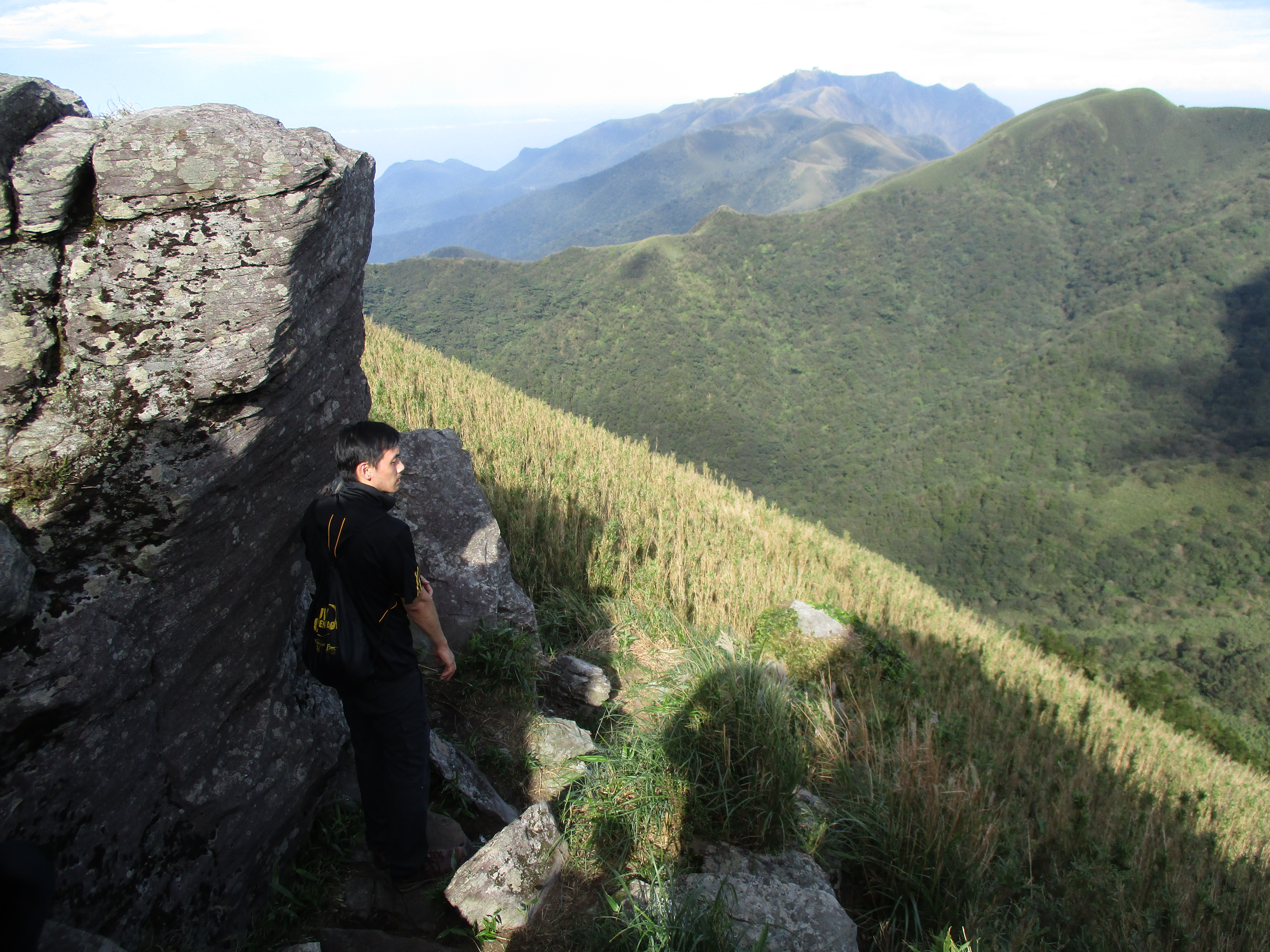
Nearing the peak there are rocky sections with more ropes.

ropes and rocks higher up
At the top is XiaoGuanyinShan west peak and marker No. 5.

XiaoGuanyinShan west peak
Turn left at the top and follow the trail along the ridge heading towards the communication towers. Ignore any trails going down. Along the way the trail passes marker No. 6 on top of a mini-peak. There are some rocky sections of trail along here.
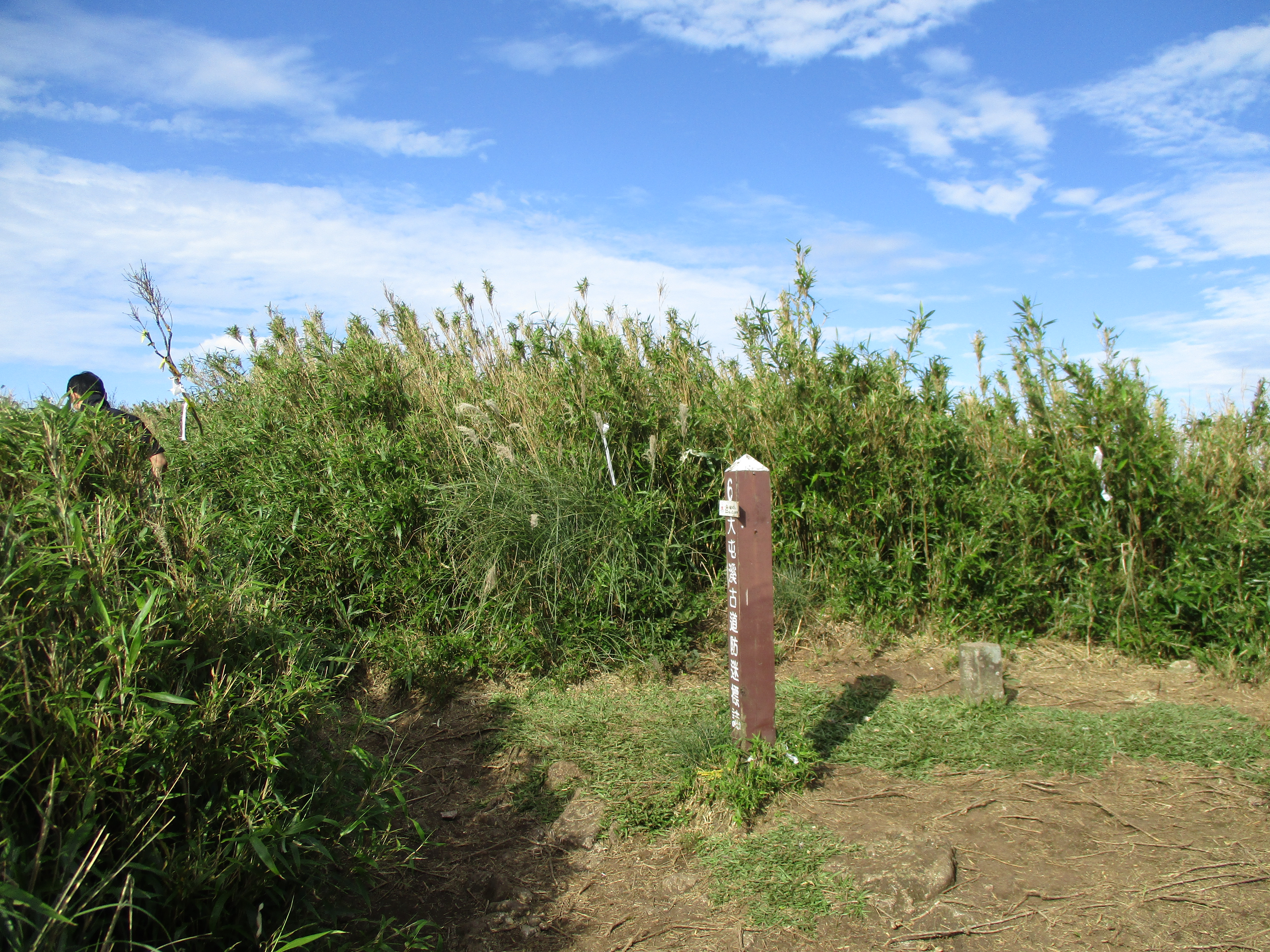
marker No. 6
rocky section of trail
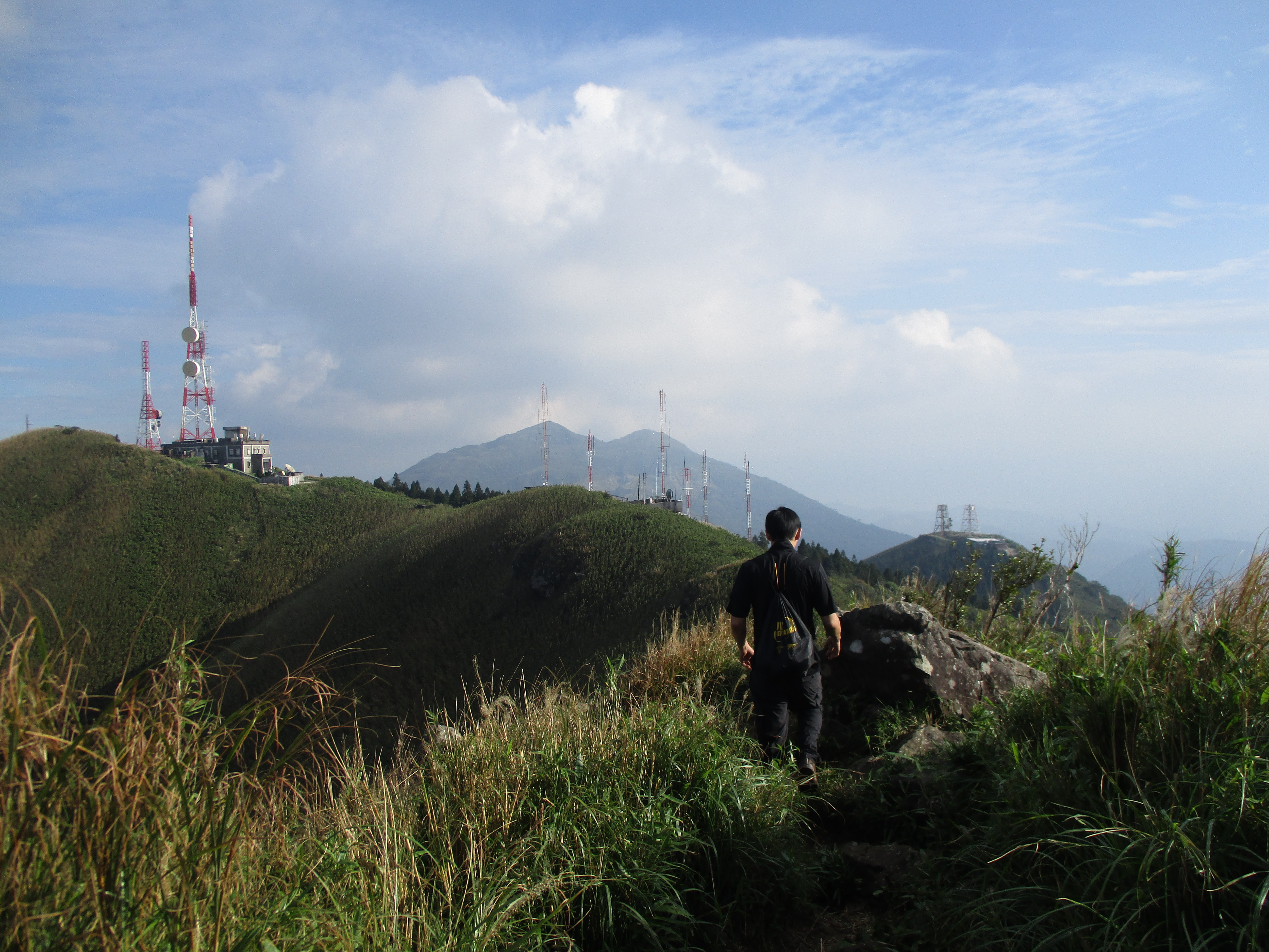
hike towards the communication towers
Then it’s back into the bamboo. The trail passes marker No. 7 in the bamboo, though it is oddly pointing in the wrong direction.

marker No. 7
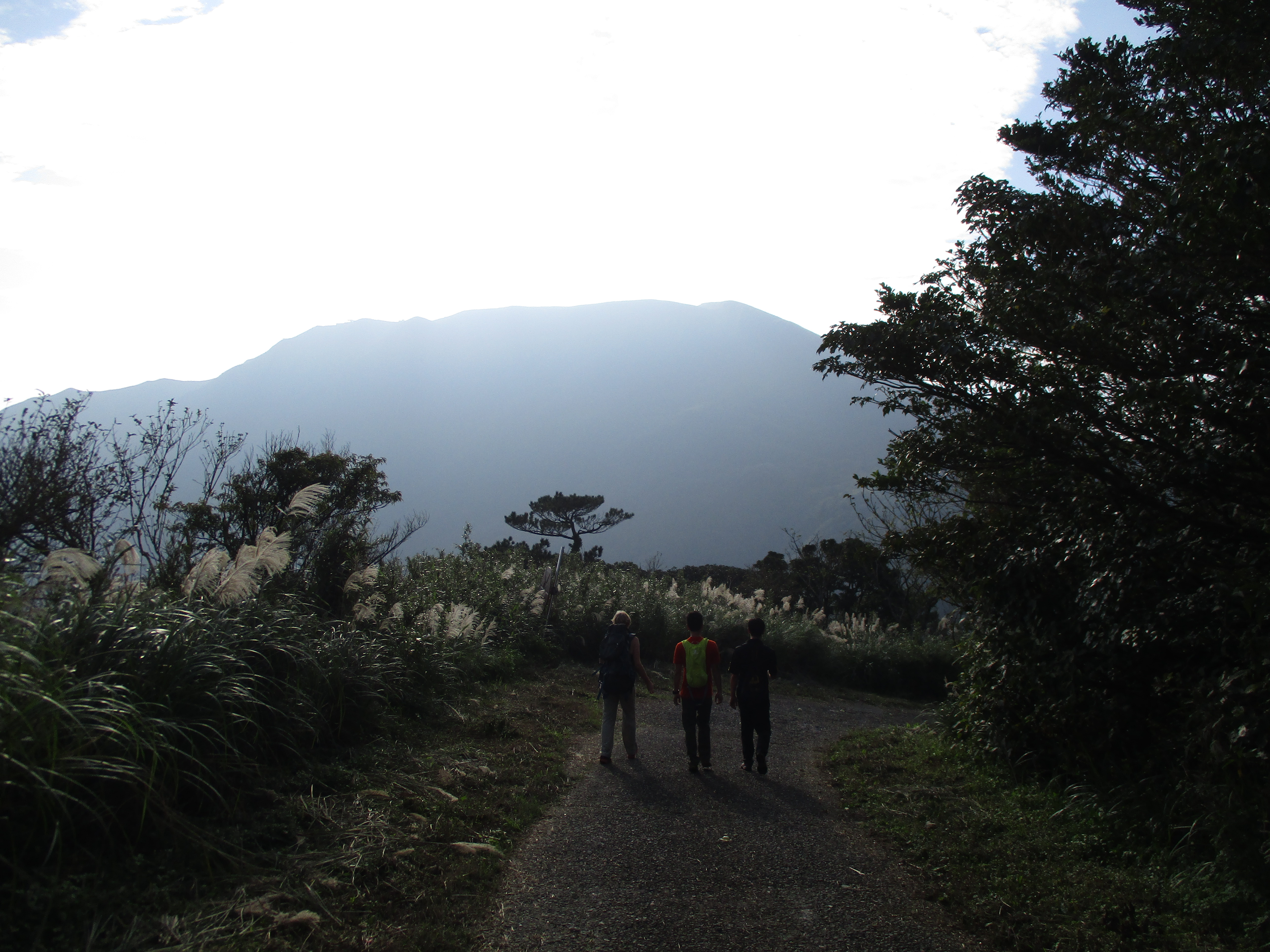
Just before the trail ends at a road it enters a grove of cedar trees.

cedar trees near the end of the trail
Walk down the road for a while until you come to an unmarked trail branching off. At the end of this road there is a house with a large number of very aggressive dogs. Turning off the road here is advisable in order to avoid them.
going down on the road
turn off the road here
Then turn left at a trail junction just after leaving the road. Follow this trail leading down and merging with another trail on the way down until you come to an old kiln. Turn left at the kiln and this trail ends at a parking lot.
turn left here
Walk up the road to the Erziping car park to catch the bus. It is also possible to hike to Beitou from here on stone trails.
Map of the Hike
