White Rock Mountain
Daxi, Taoyuan County
Introduction: With several lakes and streams, some historical relics, an exposed ridge hike similar to the very popular Huangdidian hike, and a park full of statues of Chiang Kai-shek, this a very interesting and rewarding hike.
This hike takes the Datieliao Old Trail along a stream and goes above Back Cihu Lake, follows another stream to an old stone bridge, climbs to White Rock Lake, goes over the peak of White Rock Mountain, and finally finishes at the Cihu Lakes.
Access: take bus 9103 to the Daxi bus terminal from Yongning MRT Station, or take a bus from Taoyuan train station to Daxi. From Daxi bus terminal take bus 5104 or 5109 and get off at 三層, or it’s a short taxi ride from Daxi if you don’t want to wait for a bus.
Length: 10.5km, 5 hours
Difficulty Level: 3/5
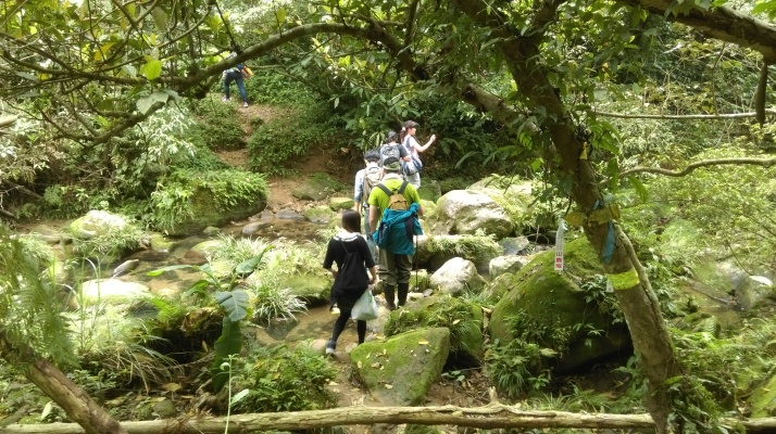
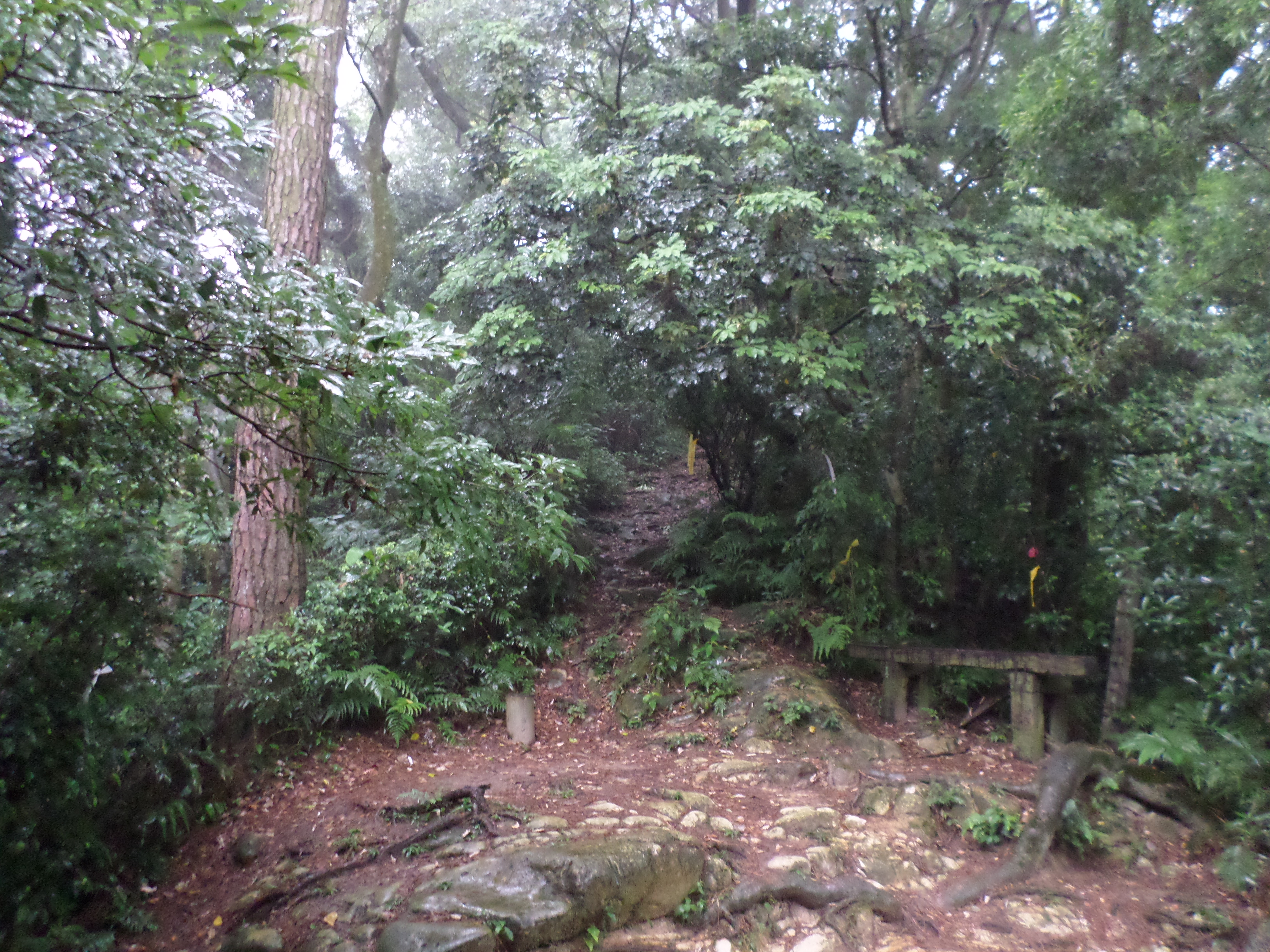
Trail Conditions: mostly wide dirt trails with some short rope sections, also exposed ridges on the peak of White Rock Mountain. This hike is popular amongst Taiwanese hiking groups, so the trails are well travelled and there will likely be lots of other hikers on the trails.
There are no trail maps or English signs anywhere on this hike. There are signs in Chinese only at the trail junctions. Some junctions have wooden signs which have been installed and others only have white signs attached to trees which have been left by the hiking groups.
The Hike
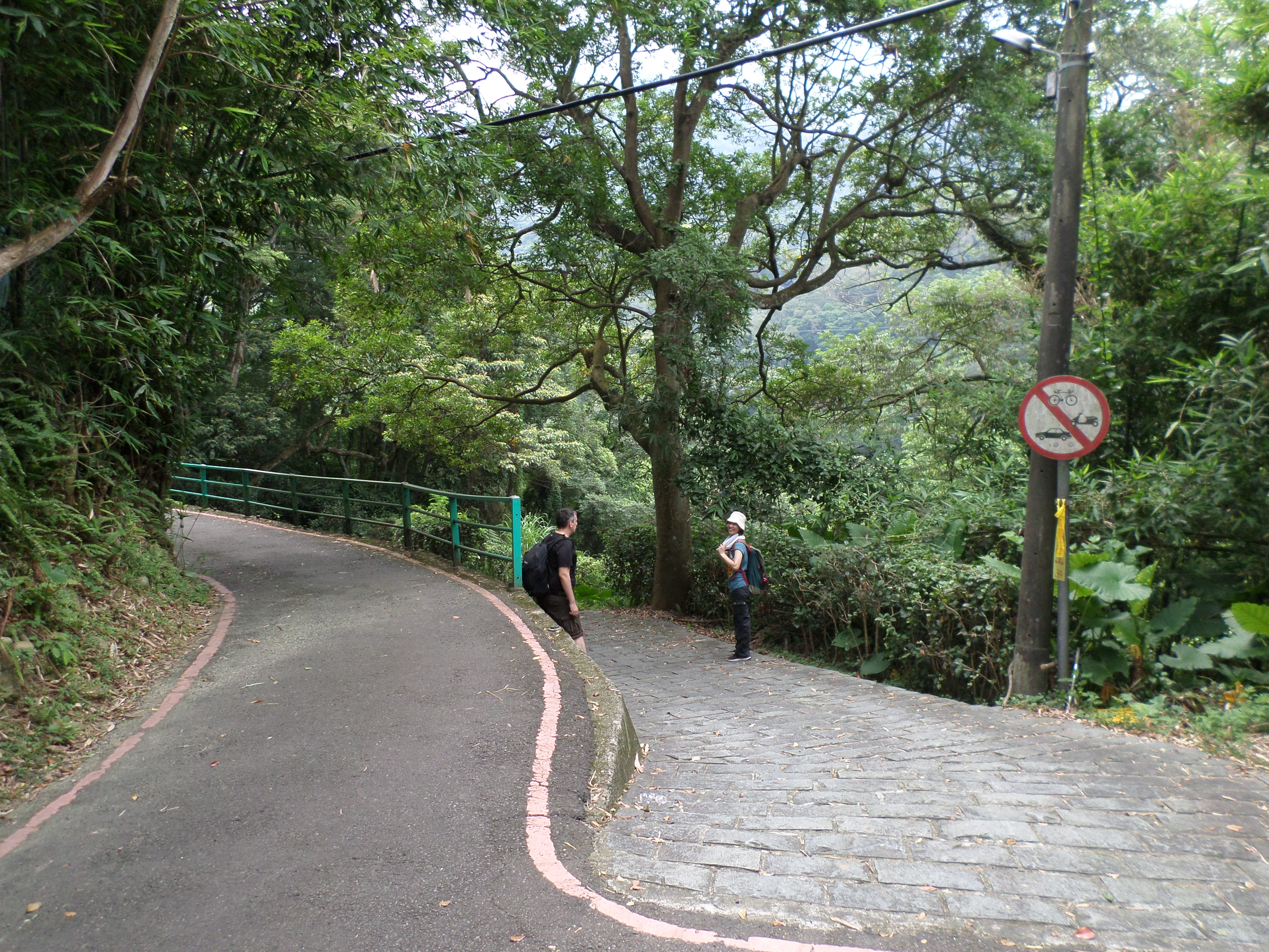
From 三層 follow the small country road out of town towards the hills. Turn left at the T-intersection from the bus stop, just before the police station. There is a sign at the intersection with the main road pointing the way to the Datieliao Trail. The start of the trail is about a 10-minute walk from the town. At the trail head there is a parking lot and public washrooms.
Just after the parking lot fork right off the road onto the stone trail, then turn right again immediately.
trail starts here
The wide stone trail goes down to the stream and passes a stone tablet at the bottom.

stone tablet by the bridge
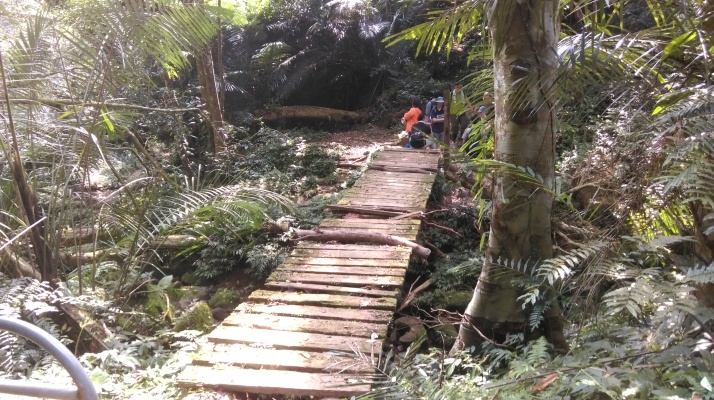
After the tablet the trail crosses the stream over a stone bridge then crosses another smaller stream over another bridge.

bridge
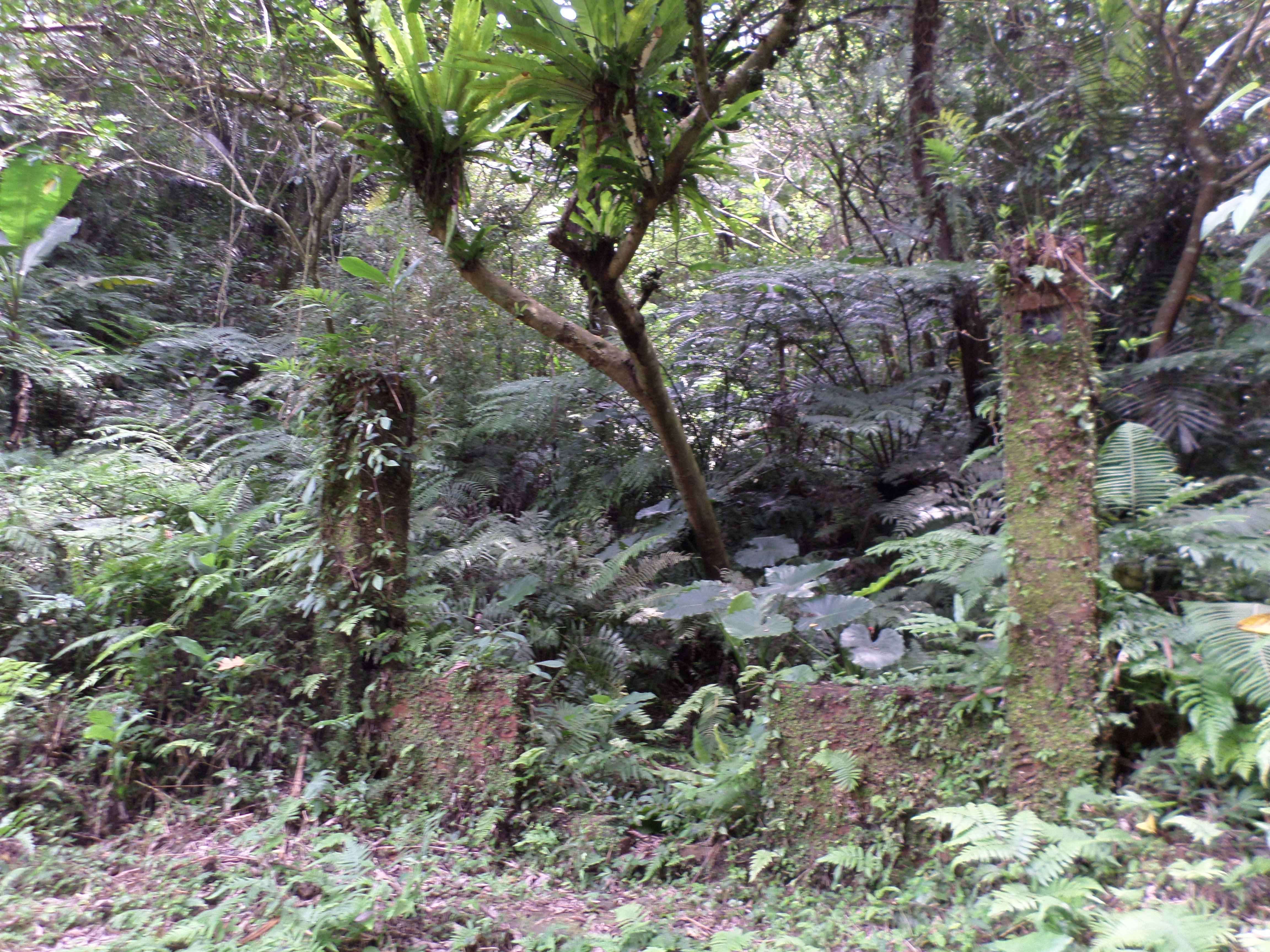
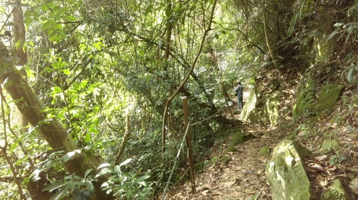
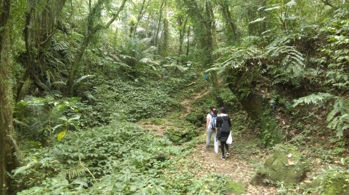
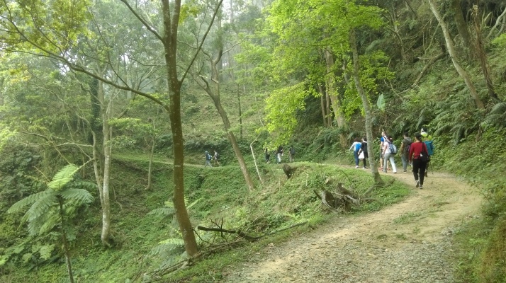
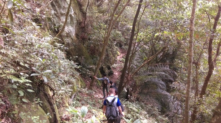
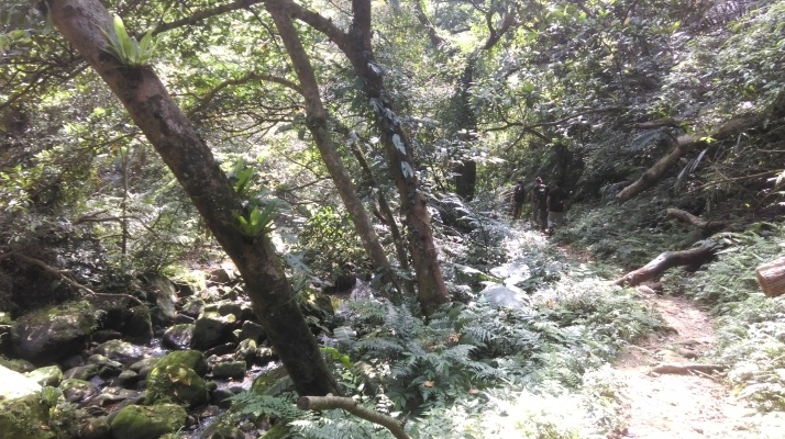
After the bridges the path quickly turns into dirt trail which follows the stream up the valley. The trail is mostly flat.

going away from the bridges
In about 1 km the trail passes the ruins of an old store.
ruins of an old store
After the store there is a long stair climb up stone steps.

stone steps up the army post
At the top of the stairs is an abandoned army post and a trail junction.
abandoned army guard post
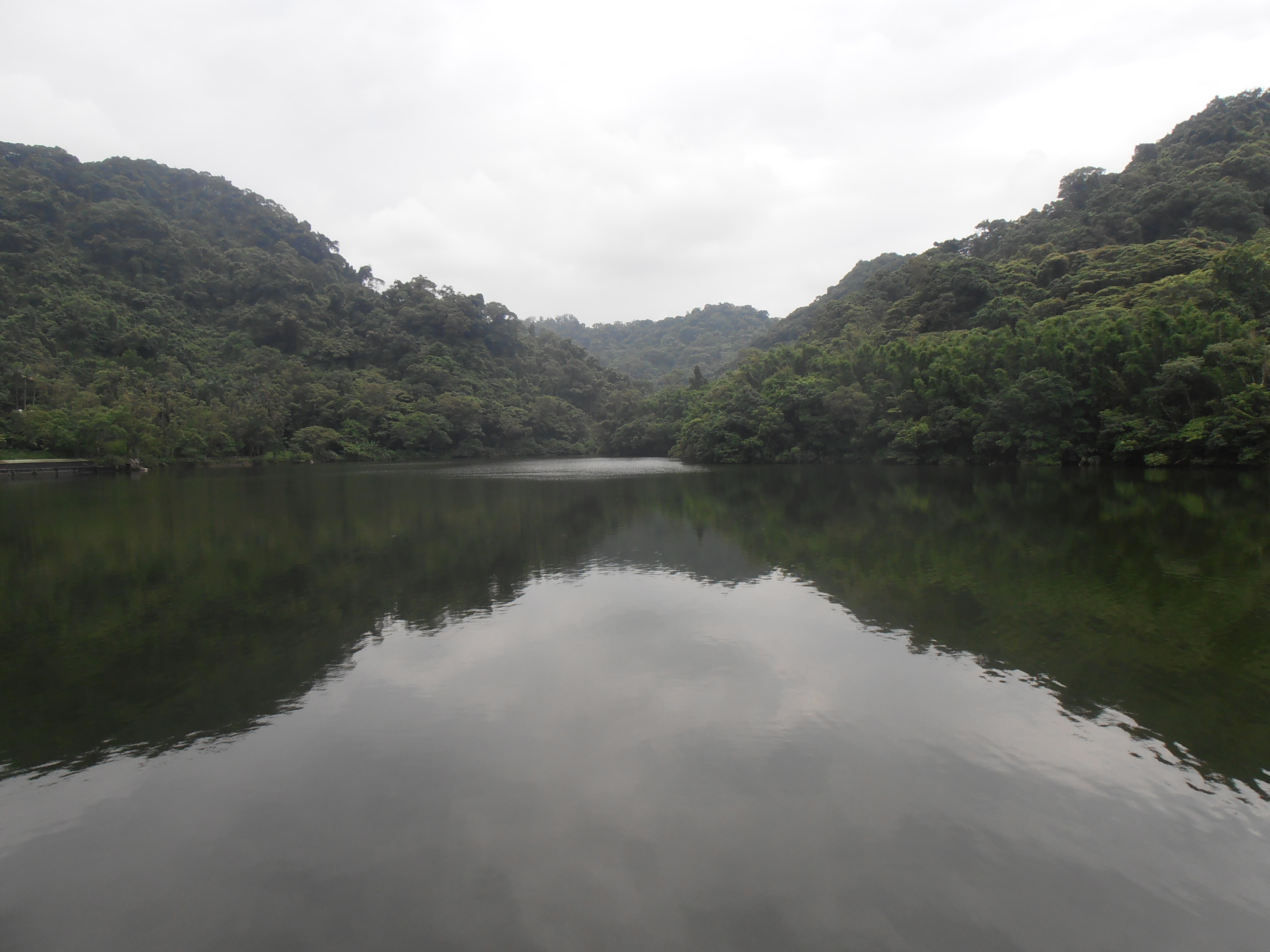
From the army post you’ll likely hear the loud voice of someone leading Chinese tour groups around Back Cihu Lake down below. The lake was a favorite retreat of Chiang Kai-shek and it is a popular destination for Chinese tourists. The lake can only be visited by guided tour from his mausoleum located at Cihu Lake at the end of this hike. There is razor wire going along the top of the ridge here, sometimes a little too close to the hiking trail, to keep people from accessing the lake.
From the army post take the trail going along the left side of the hut. The trail goes along the top of the ridge near the lake, but unfortunately you can barely see the lake from the trail. Turn right a trail junction marked by signs in Chinese only for White Rock Mountain, keeping with the main trail.
turn right here
The trail continues around the north end of the lake then begins to descend. Cut across the large landslide that was formed by a typhoon in 2015. The landslide also made a natural dam on the stream below.
trail going around Back Cihu Lake

landslide crossing
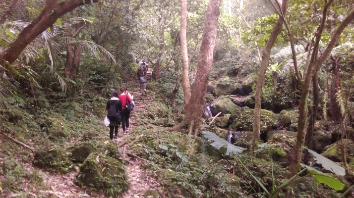
After the landslide the trail follows the stream that drains into Back Cihu Lake.

trail following the stream away from Back Cihu Lake
The trail passes another stone tablet on the right side and a tiny shrine on the opposite side.
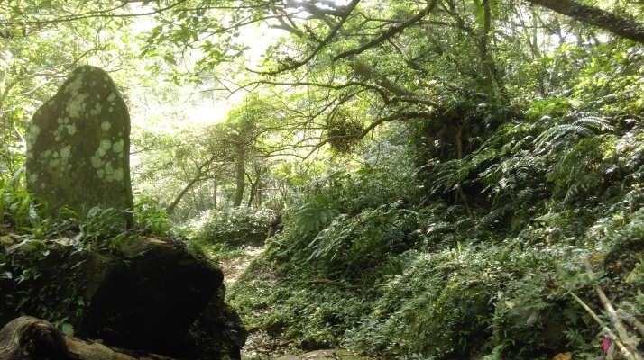
passing a stone tablet
At one point the trail goes up the middle of the stream over rocks before going back onto the left bank of the stream again.
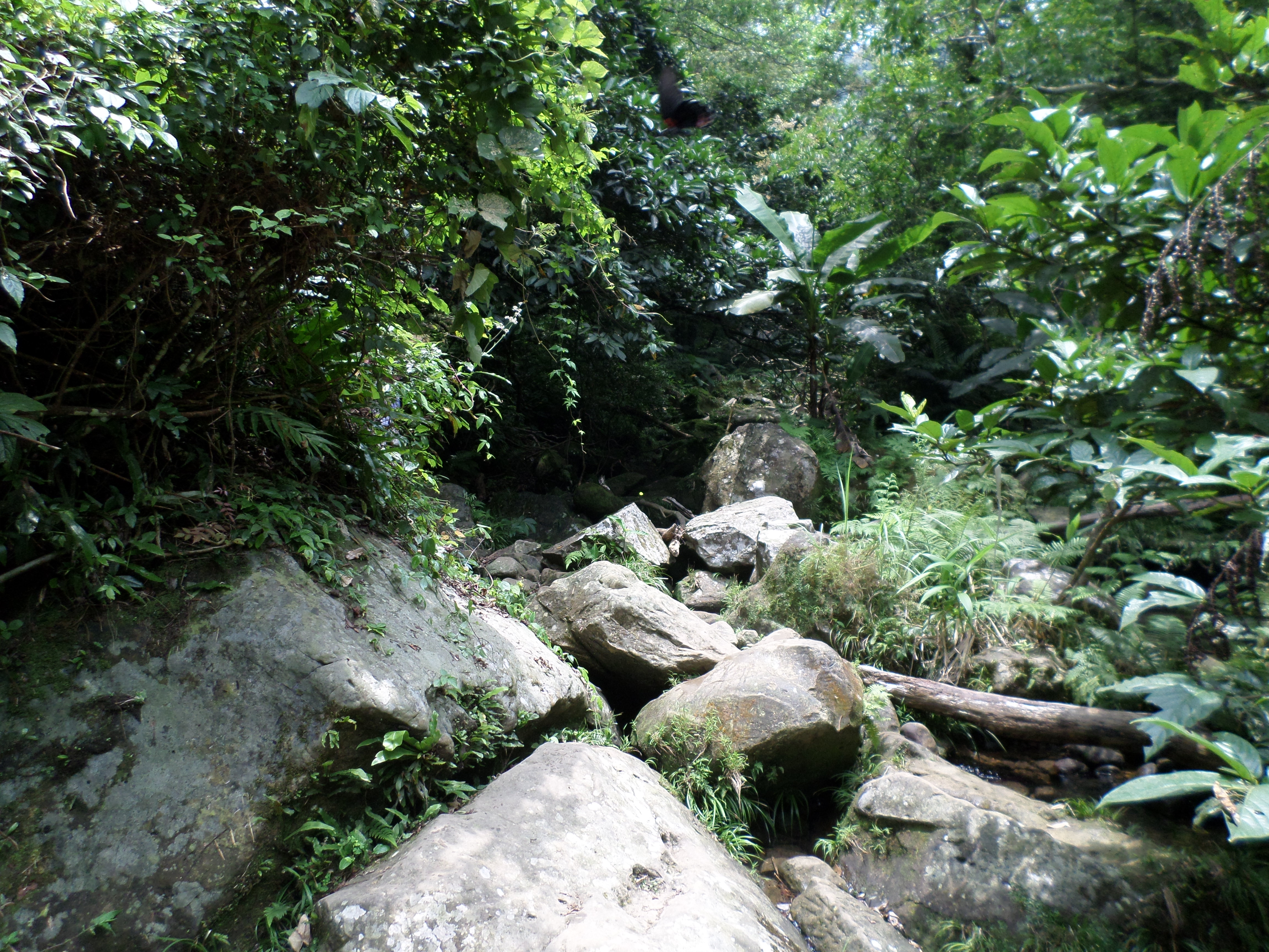
trail going up the middle of the stream
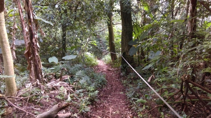
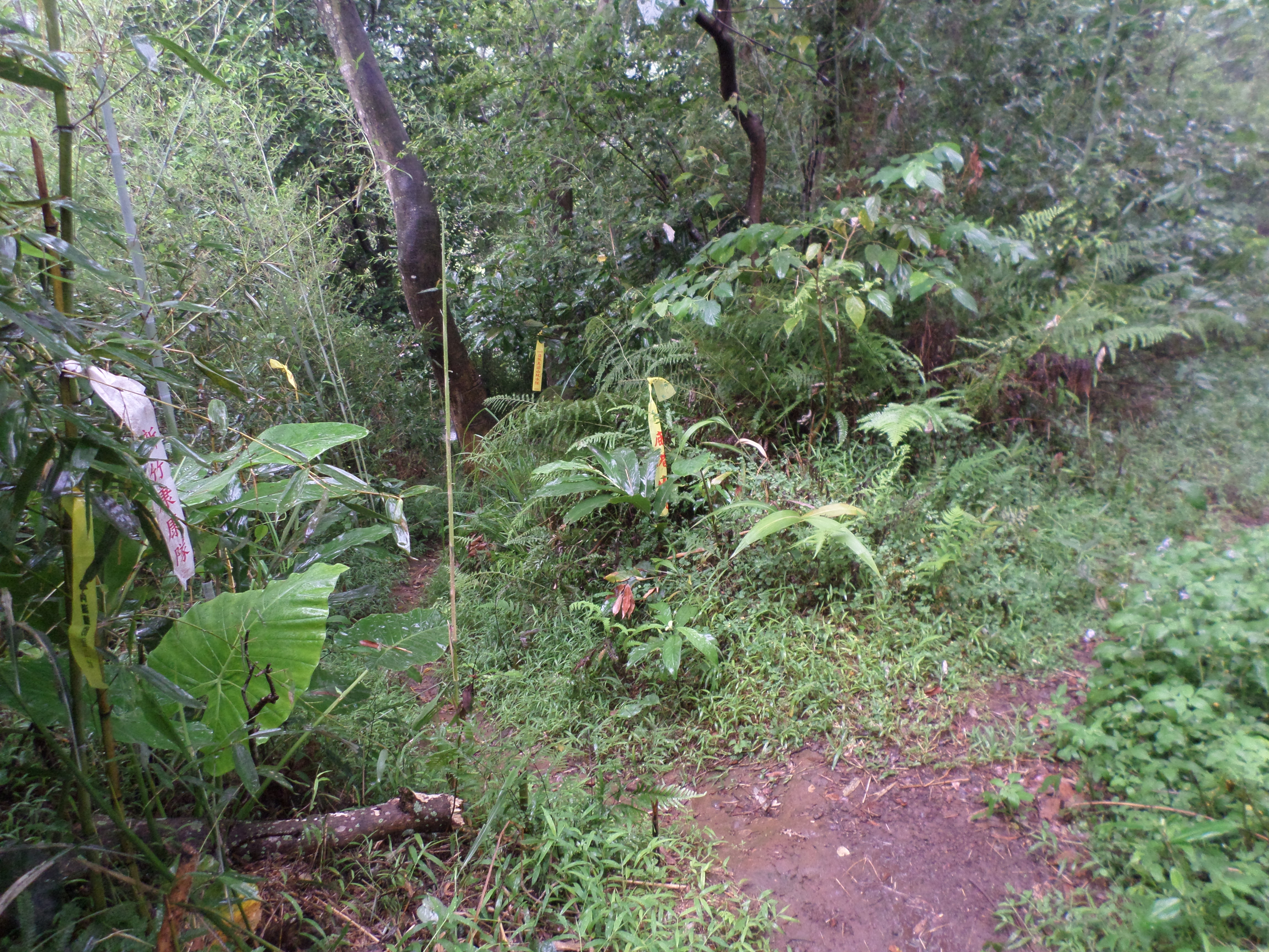
Shortly after this turn right a trail junction crossing the stream over rocks. There are no wooden signs at this trail junction, only flags or signs attached to the tree left by hikers.
turn right here and cross the stream
From the junction the trail follows the stream climbing upwards and then crosses it over an old stone bridge. This bridge is a popular spot for Taiwanese hiking groups and they will likely be hanging around here having a picnic.
following the stream towards the old bridge
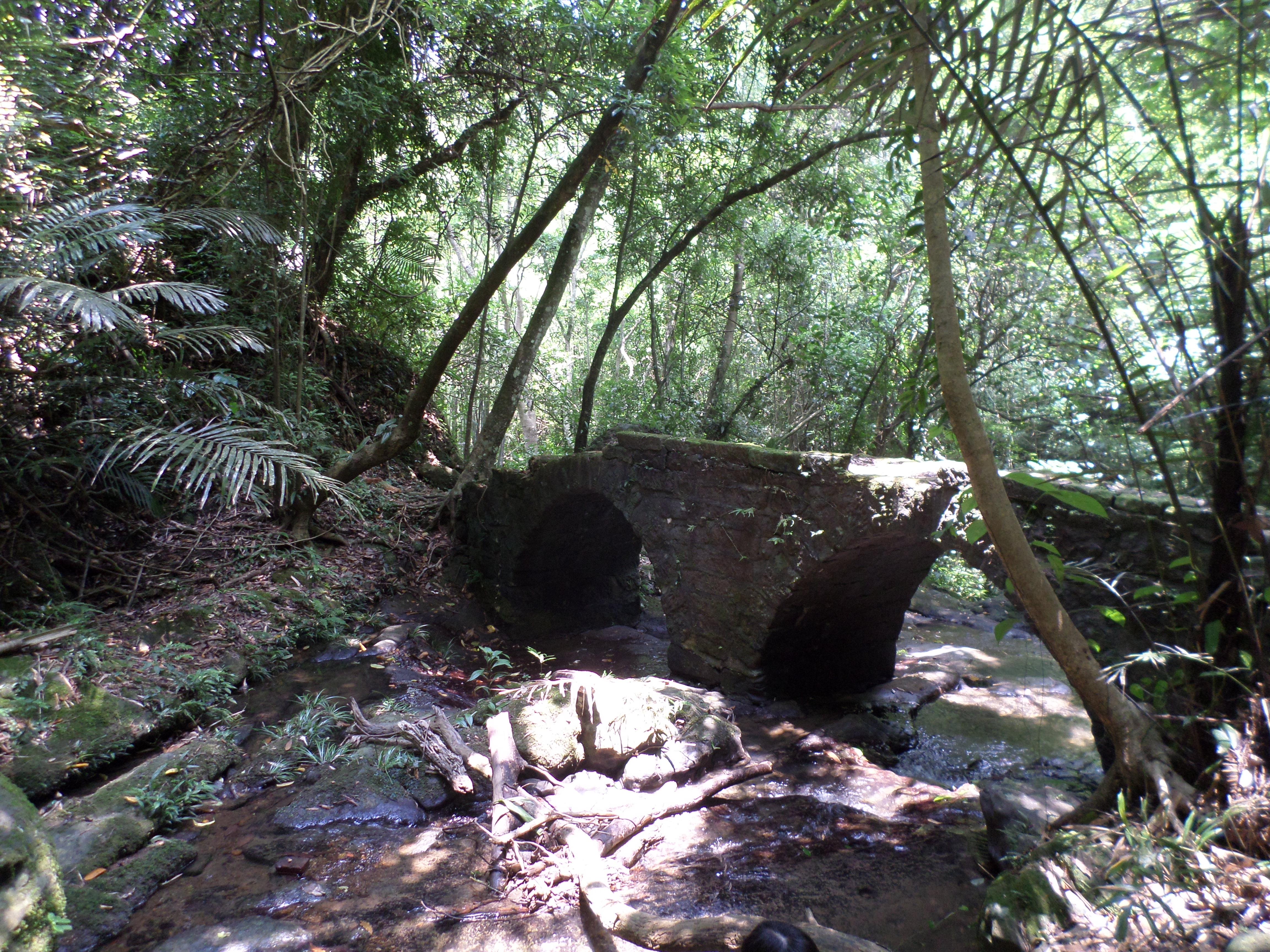
old stone bridge
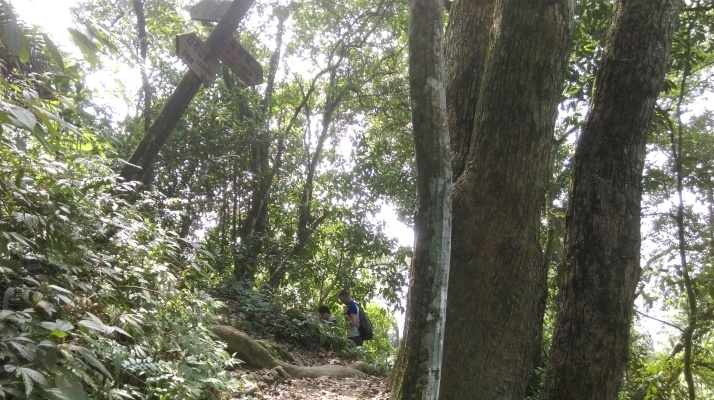
From the bridge keep following the trail near the stream until you come to a T-junction with another trail. Turn right at the junction.
following the stream away from the old bridge
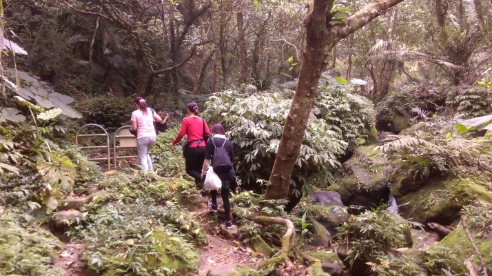
turn right here
After the junction the trail passes a garden plot then crosses the stream over a cement culvert. After the crossing the trail becomes a dirt track which switchbacks up the hillside away from the stream. After several switchbacks the track levels out and contours the hillside. Turn left when the dirt track ends at a paved road and follow the road to White Rock Lake.
hiking towards White Rock Lake
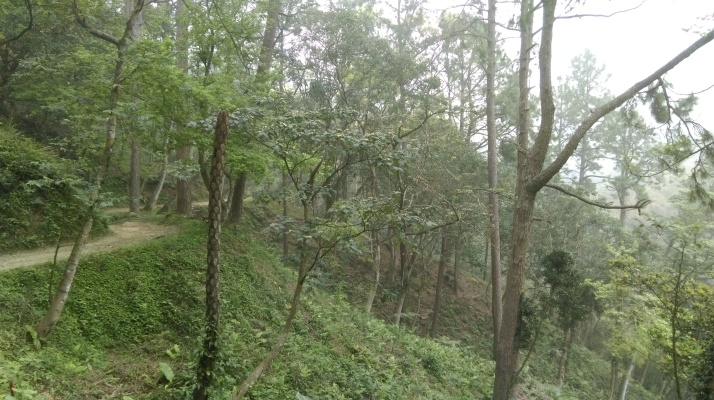
hiking towards White Rock Lake
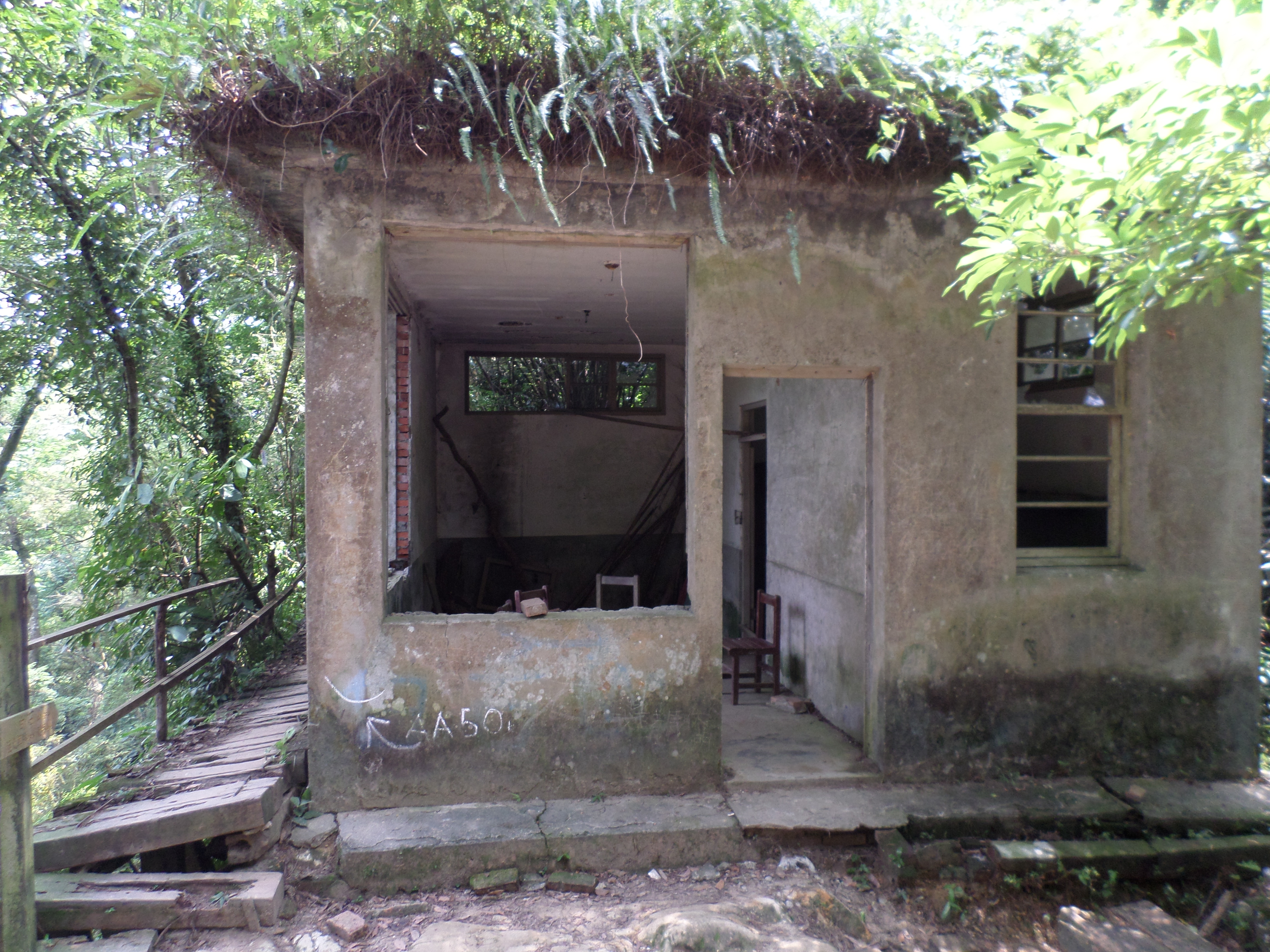
Keep walking on the road around the side of the lake until you come the start of the trail that climbs up to the peak of White Rock Mountain. There are no signs here, but there is a ruined building at the start of the trail.
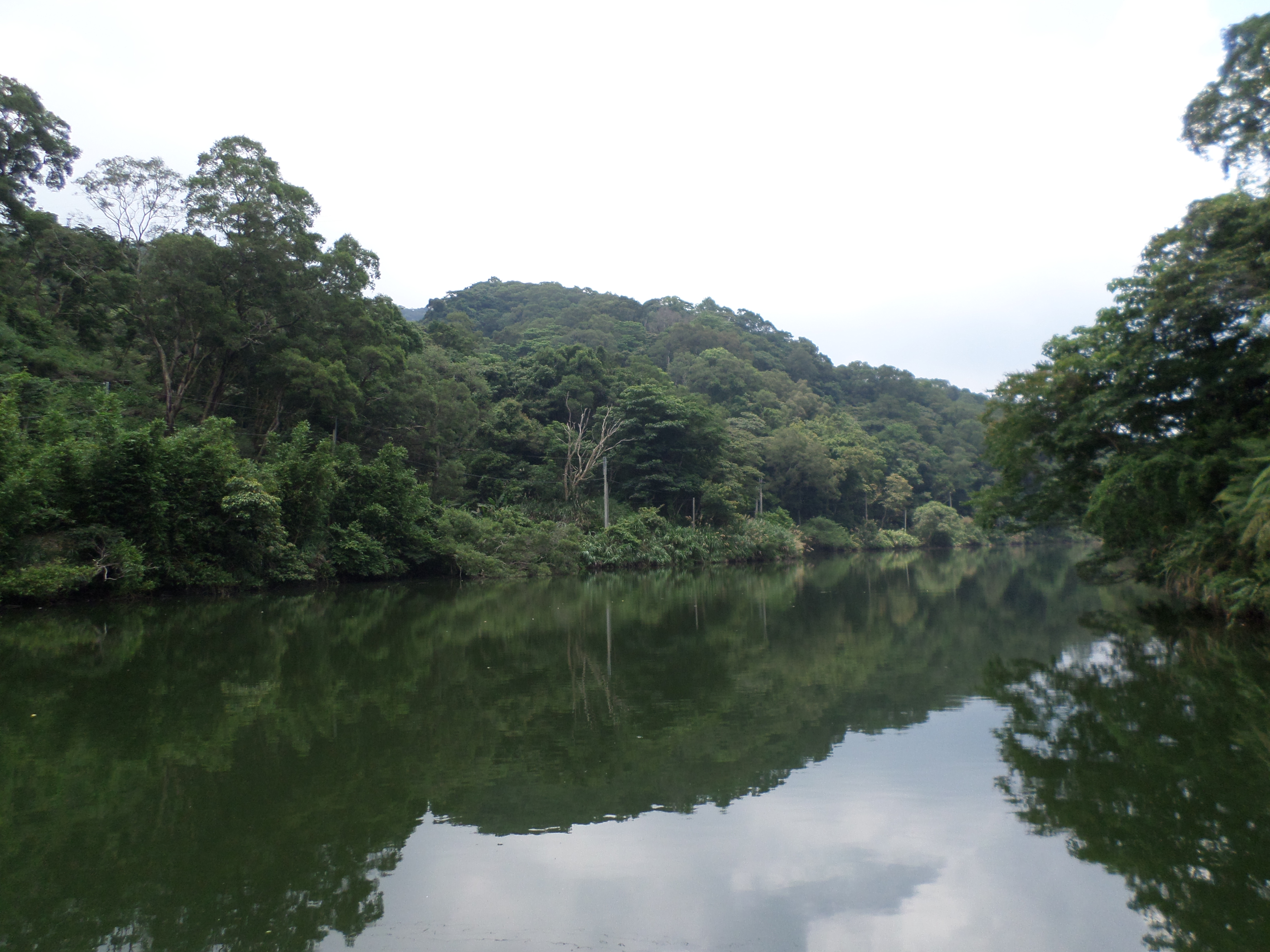
White Rock Lake

start of the trail leading from the lake to the peak
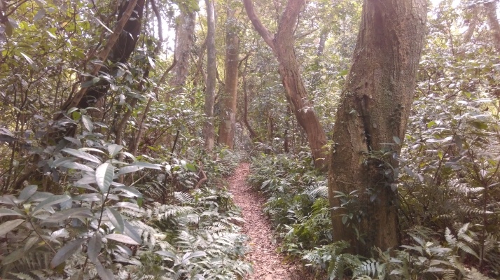
As far climbing up to the peaks of mountains goes, the trail up White Rock is surprisingly easy. The wide dirt trail climbs up moderately steeply, sometimes zig-zagging upwards until the top of the ridge.
trail going up White Rock Mountain
At the top the trail turns right and goes over rocks along the top of the ridge. The trail along the top looks a lot like the much more popular Haungdidian hike. At first the trail goes over rocks through the trees or along the edge.
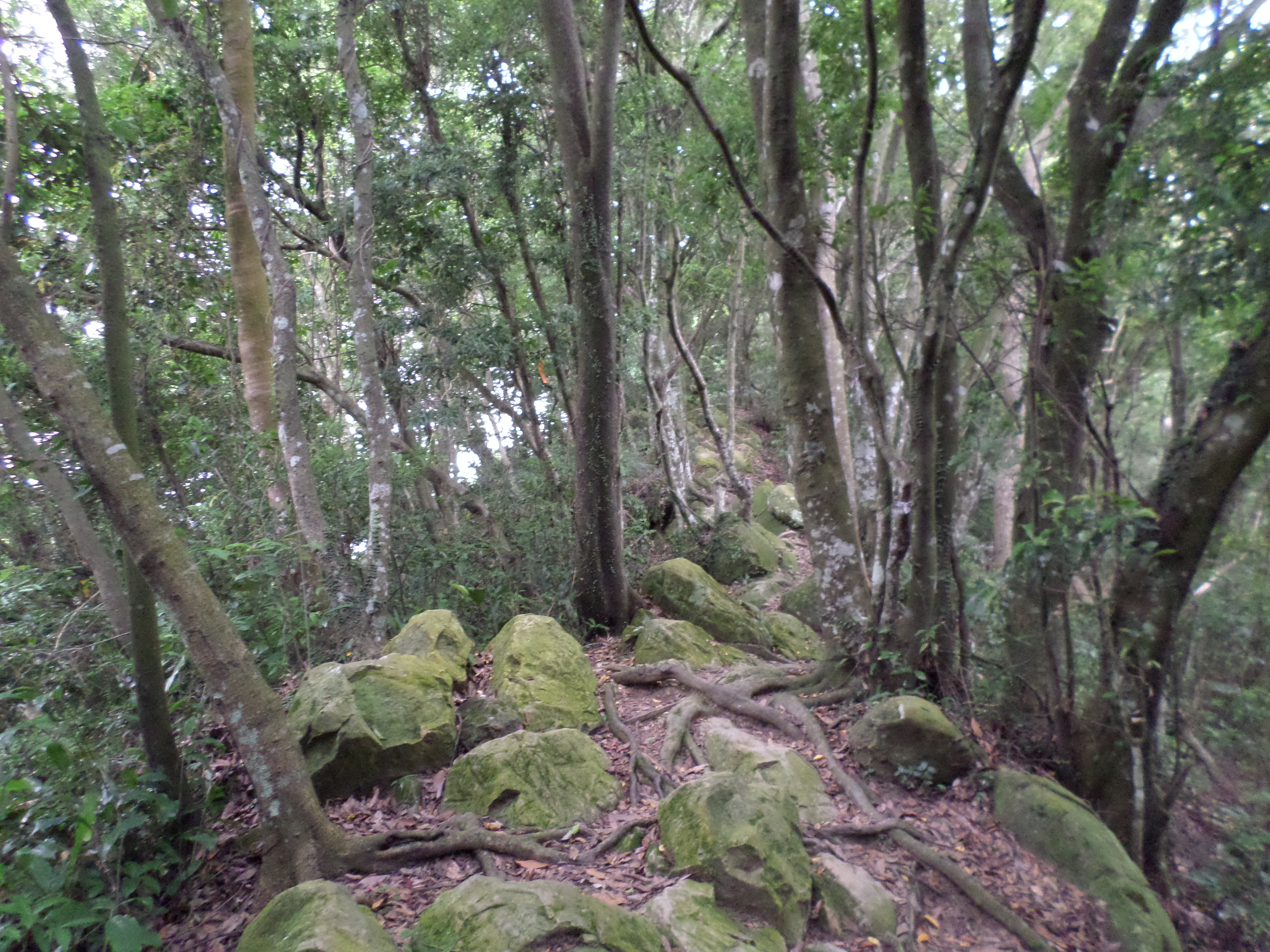
trail going along the top of the ridge
At an unmarked fork in the trail, take the right fork continuing to climb upwards over the rocks.
fork right here and keep climbing
After the fork the trail continues through the trees before emerged onto exposed rocks with footsteps carved into them.
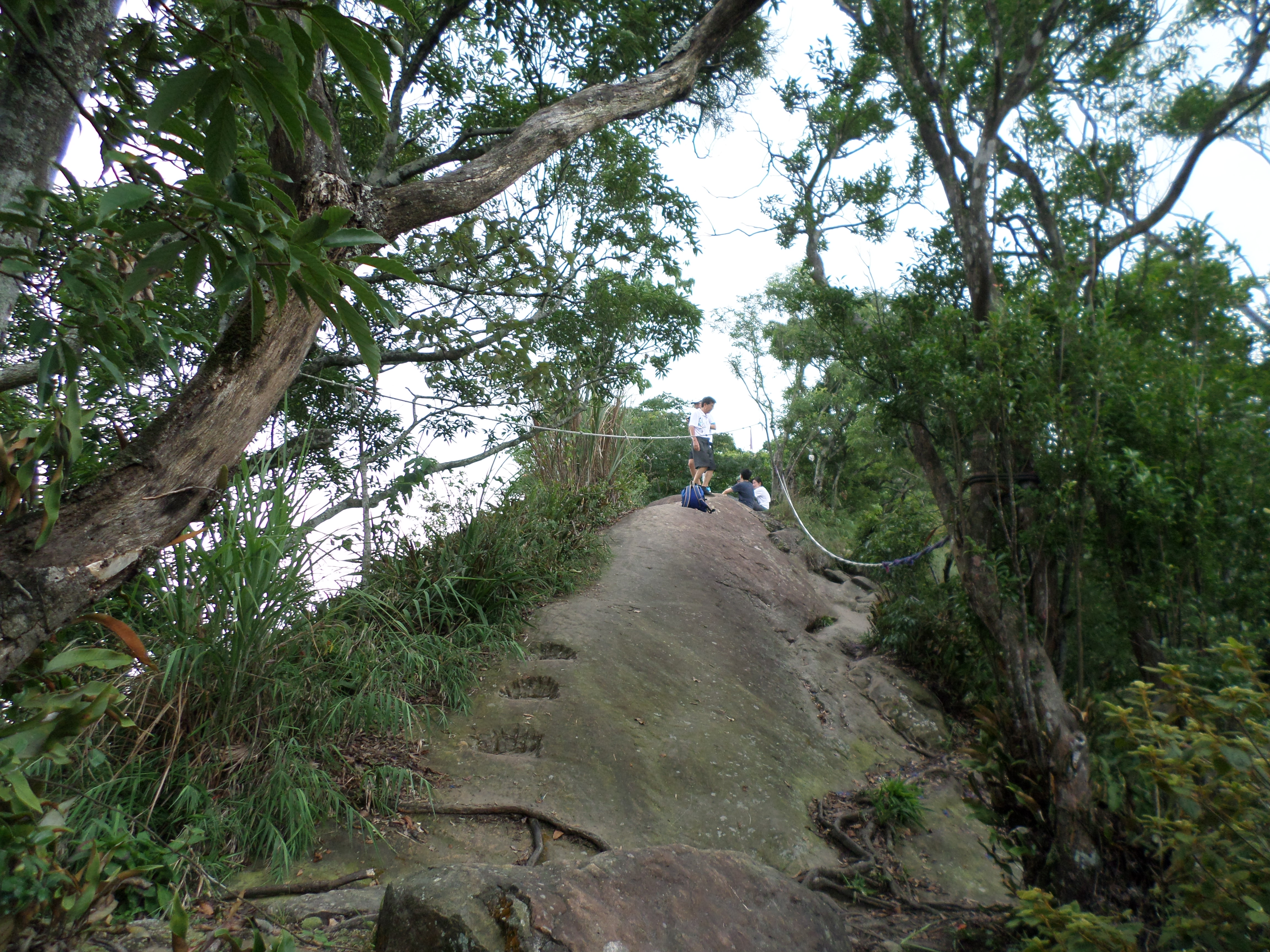
exposed ridge
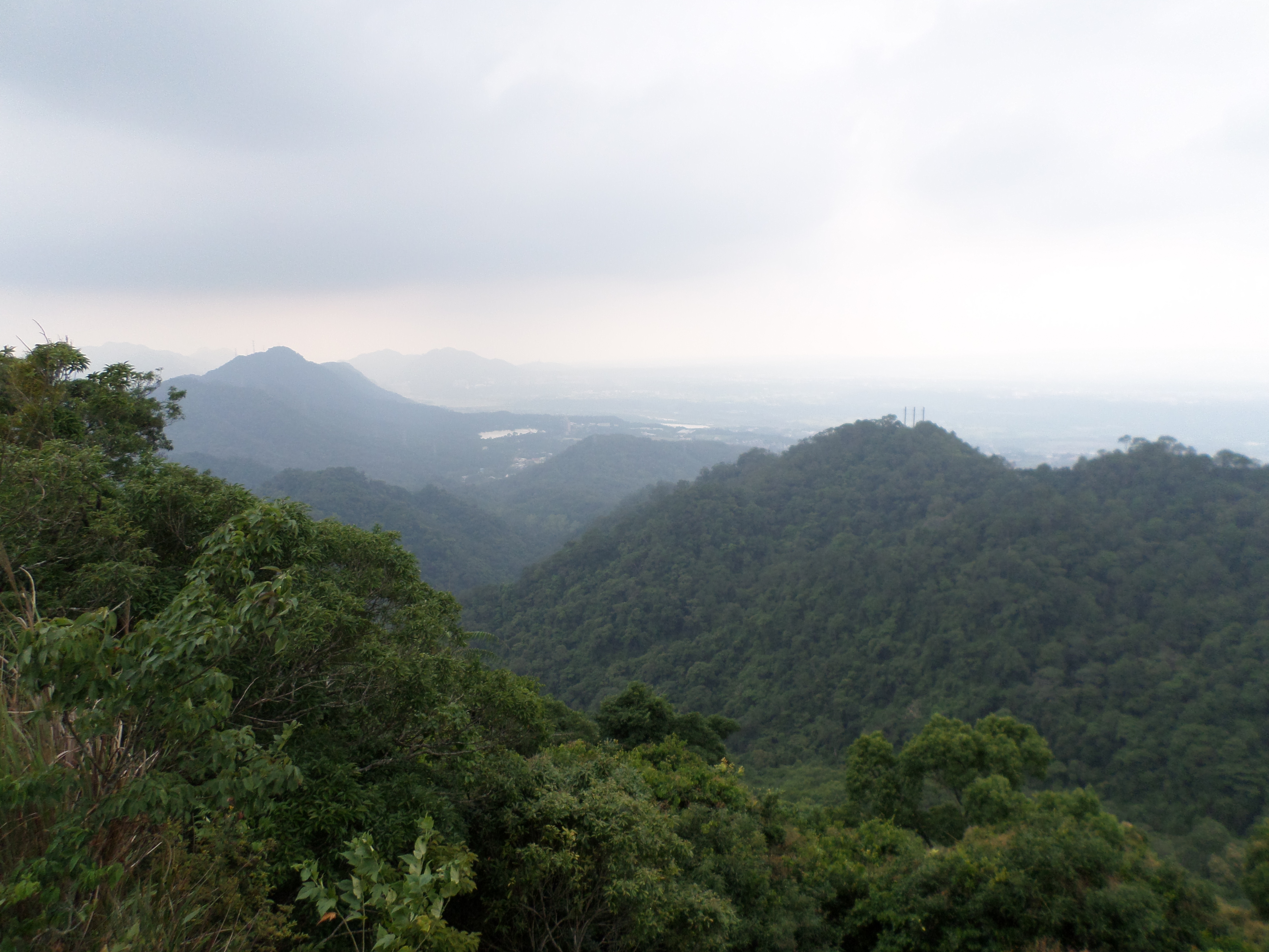
view from White Rock
The trail continues along the exposed rocks passing a makeshift rest area that hiking groups have contsructed here. There will likely be some more people hanging around here having a picnic. Shortly after the picnic area the trail reaches the peak, marked only by small white sign and “White Rock” painted on the rocks in Chinese characters in white paint.
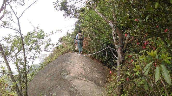
hiking on the exposed ridge
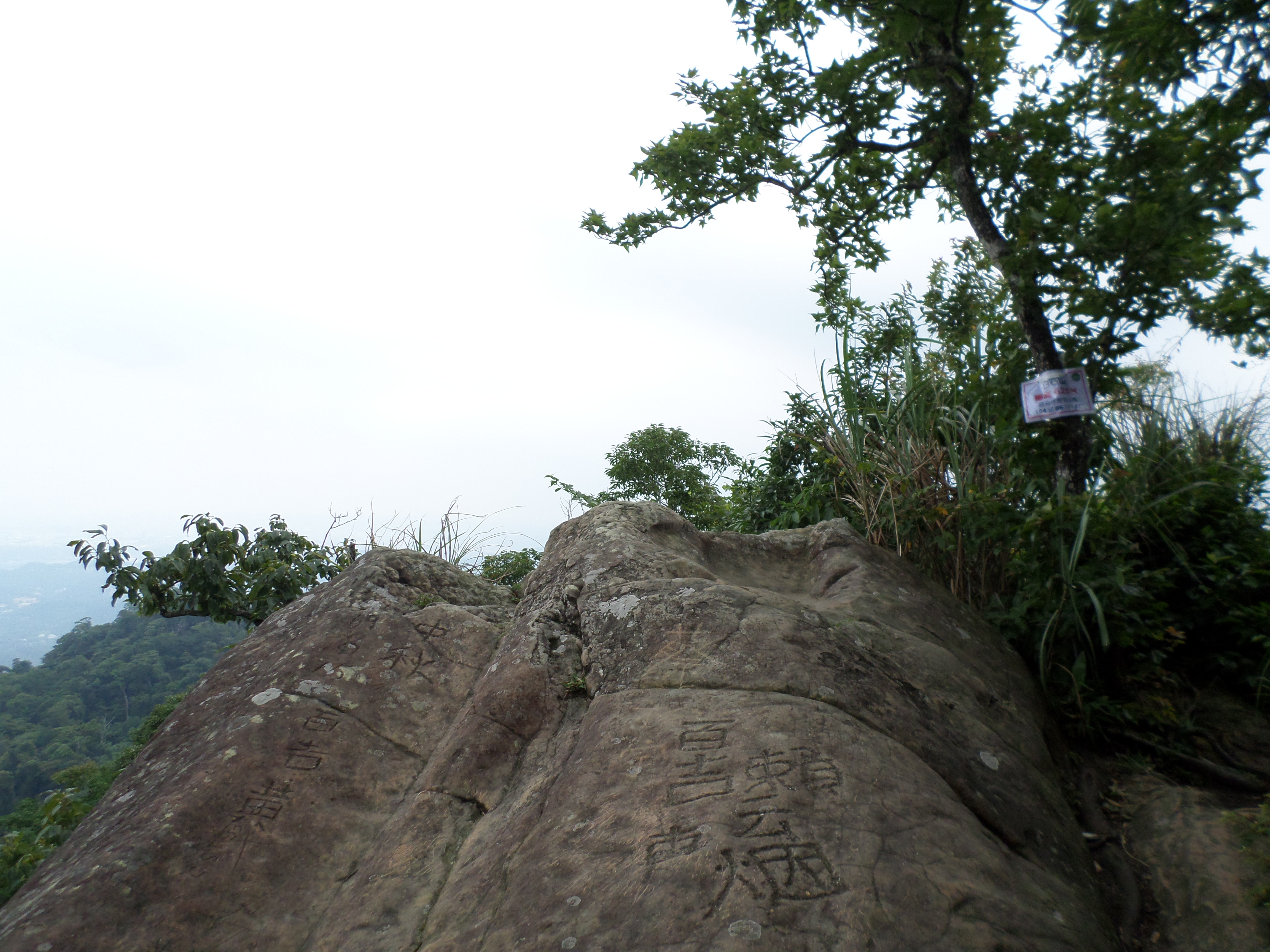
White Rock peak
From the peak keep going straight and use the rope to make the short drop off the rock face.
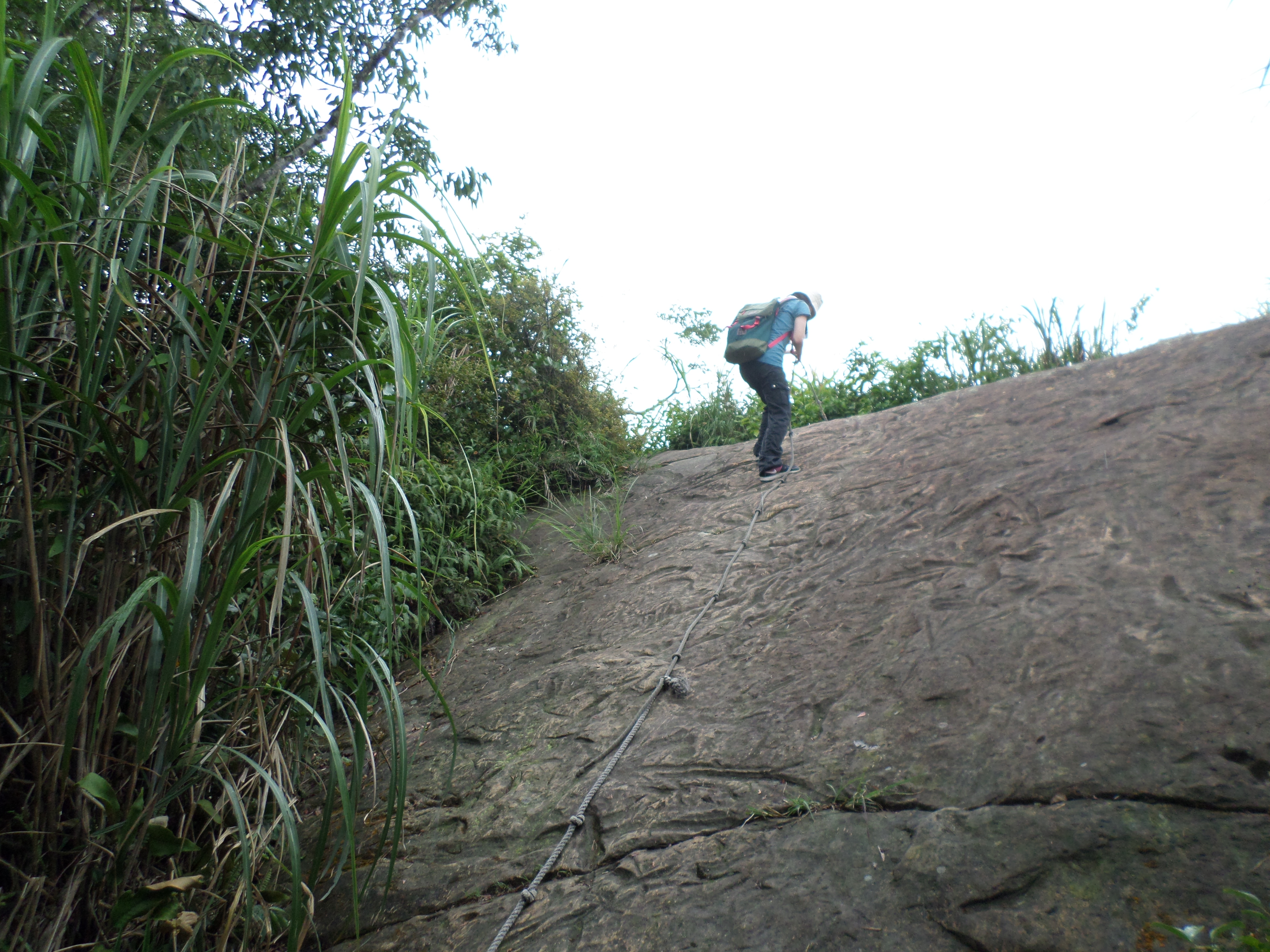
use the rope to climb down the rock face
After climbing down the rope continue straight for a few minutes until you come to a trail junction with a large, round, bowl-shaped boulder. Turn left at the junction.

turn left here
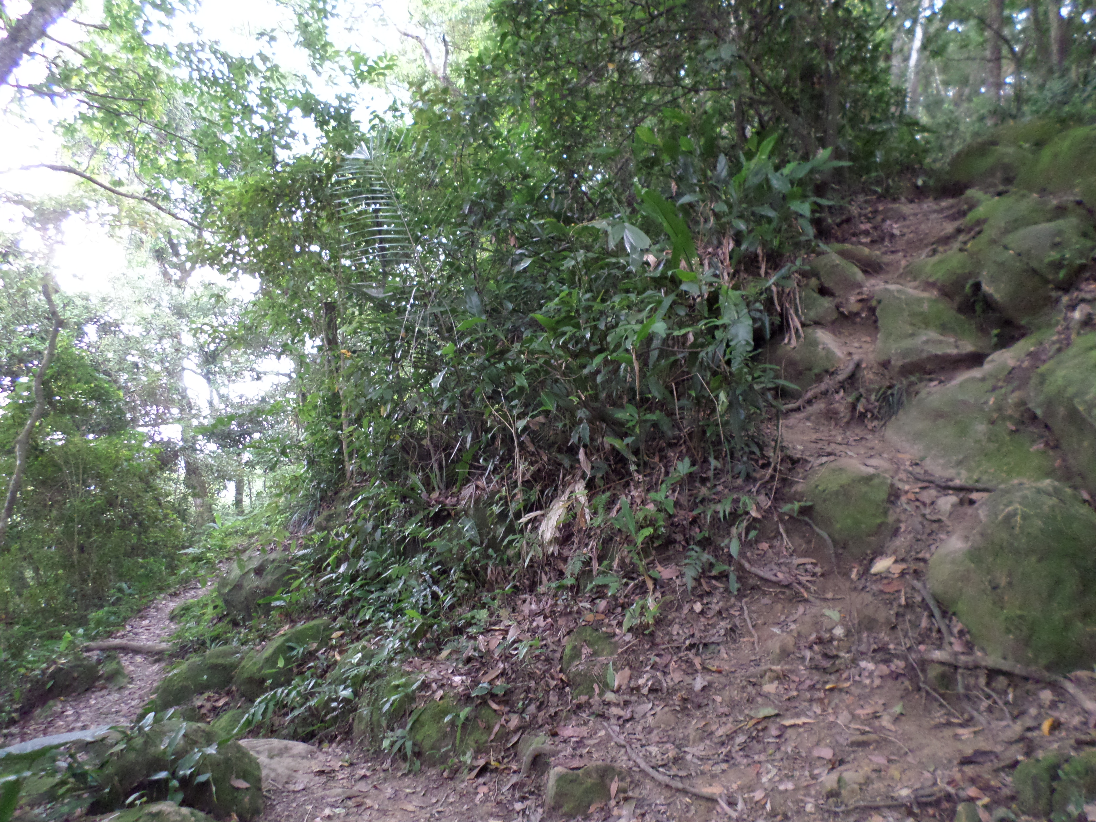
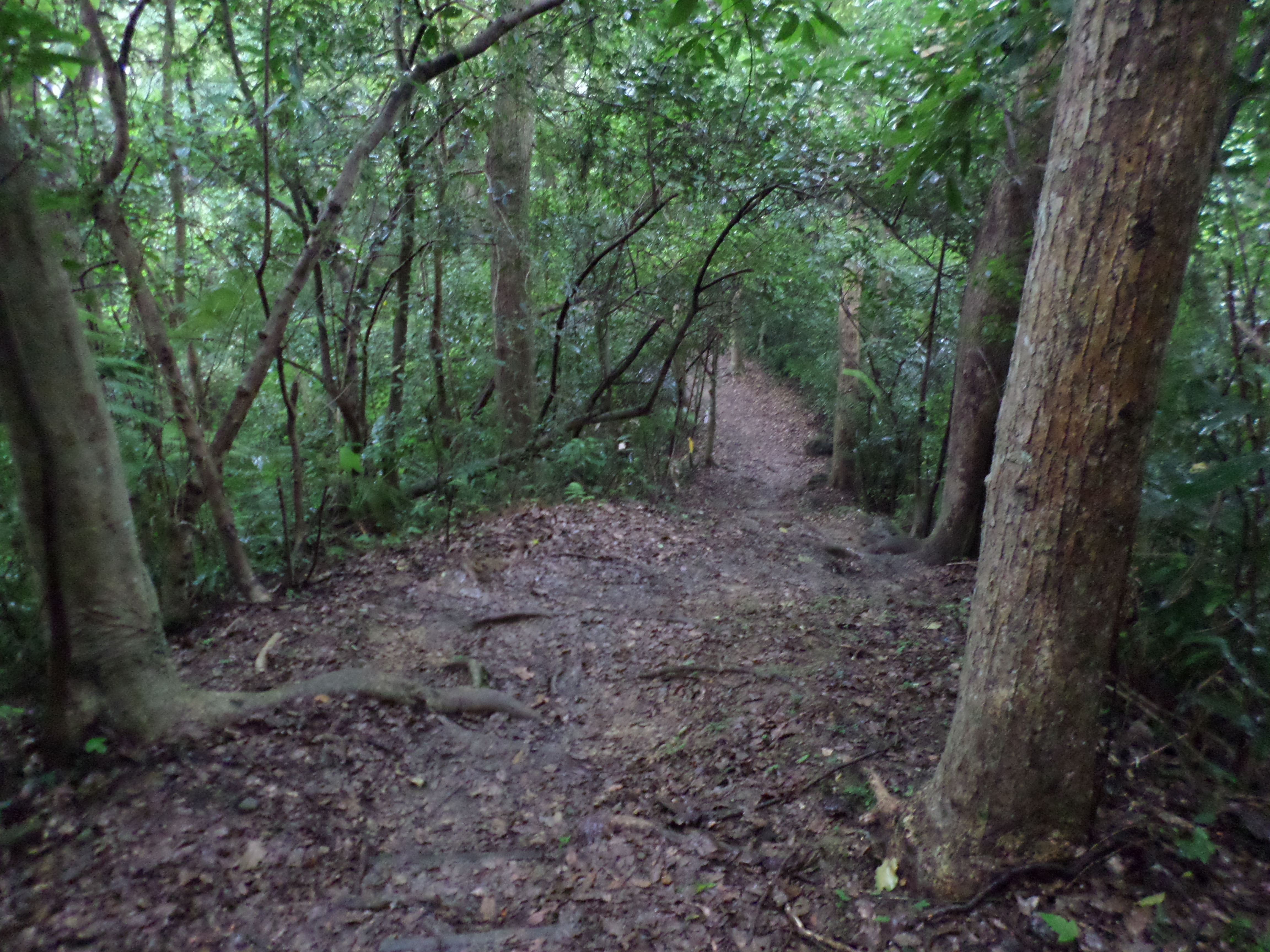
The trail makes a short, steep descent then follows along the base of the cliff for a considerable distance.
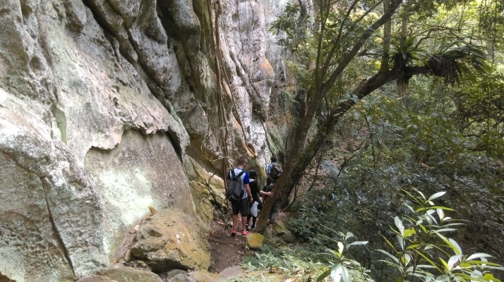
turn going along the base of the cliff
trail going along the base of the cliff
After the cliff, turn right when the trail merges with another trail coming down the mountain and keep going downwards.
Merging with another trail, keeping heading down
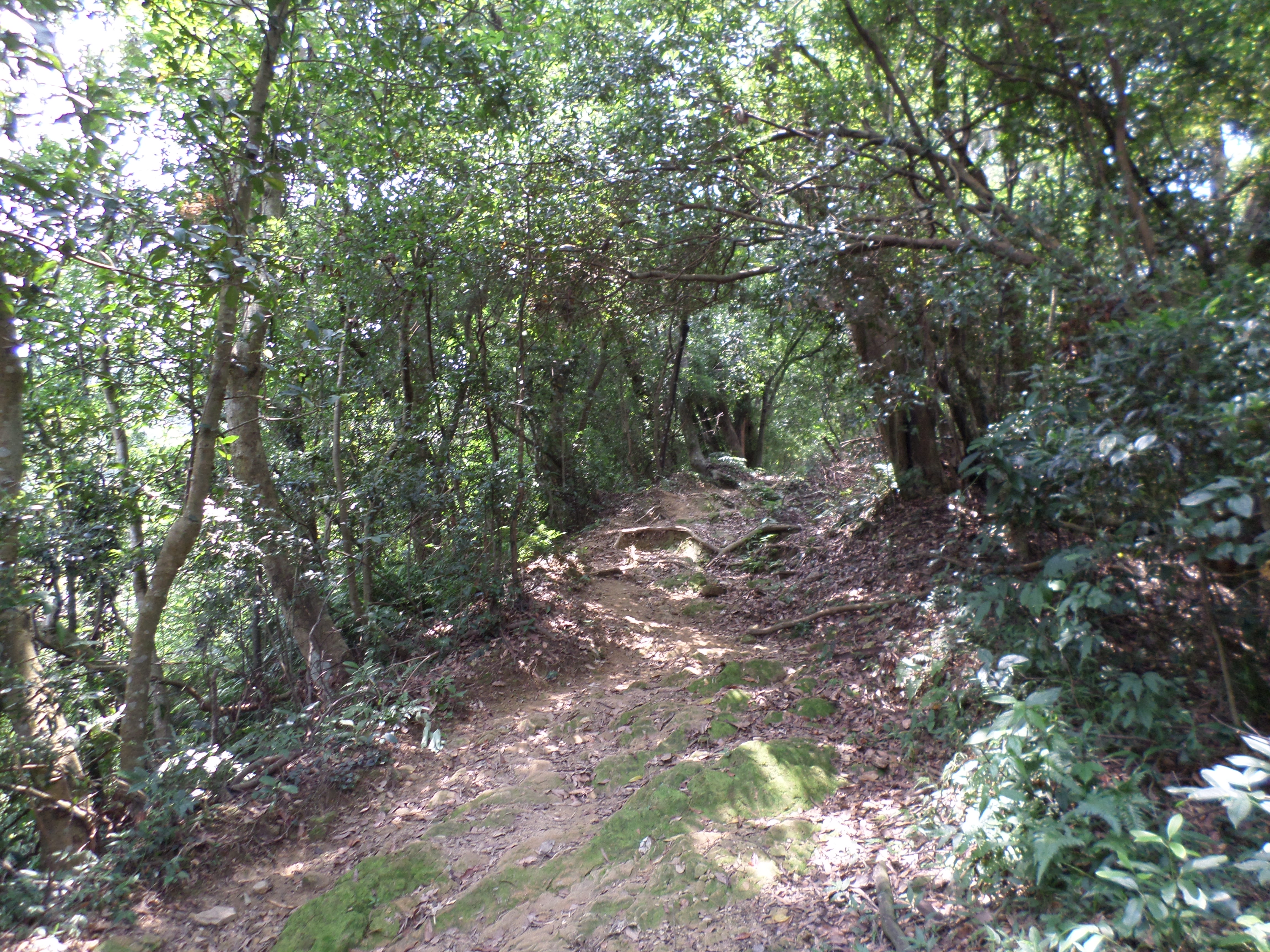
The trail continues to make the descent often with wood-supported steps until it reaches a dirt track at the bottom.
trail descending from White Rock
The trail makes a sharp left turn at the bottom and follows the dirt track running near the stream. Turn right when you reach another trail branching off, marked by wooden signs in Chinese.
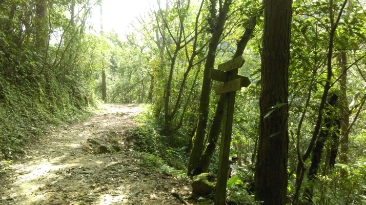
Turn right here
The trail crosses the stream over a wooden bridge then follows the stream back to where you turned off earlier to start the long circular hike over White Rock. From here just keep following the trail back to the army guard post.
bridge crossing the stream
following the stream
Take the trail going straight from in front of the guard post.
take this trail from the army guard post
This trail goes over a couple of small hills and ends at the Cihu Lakes. From the guard post the trail goes through thick tree cover climbing at first then making a descent with the aid of ropes. The trail then climbs again.
trail leading away from the guard post
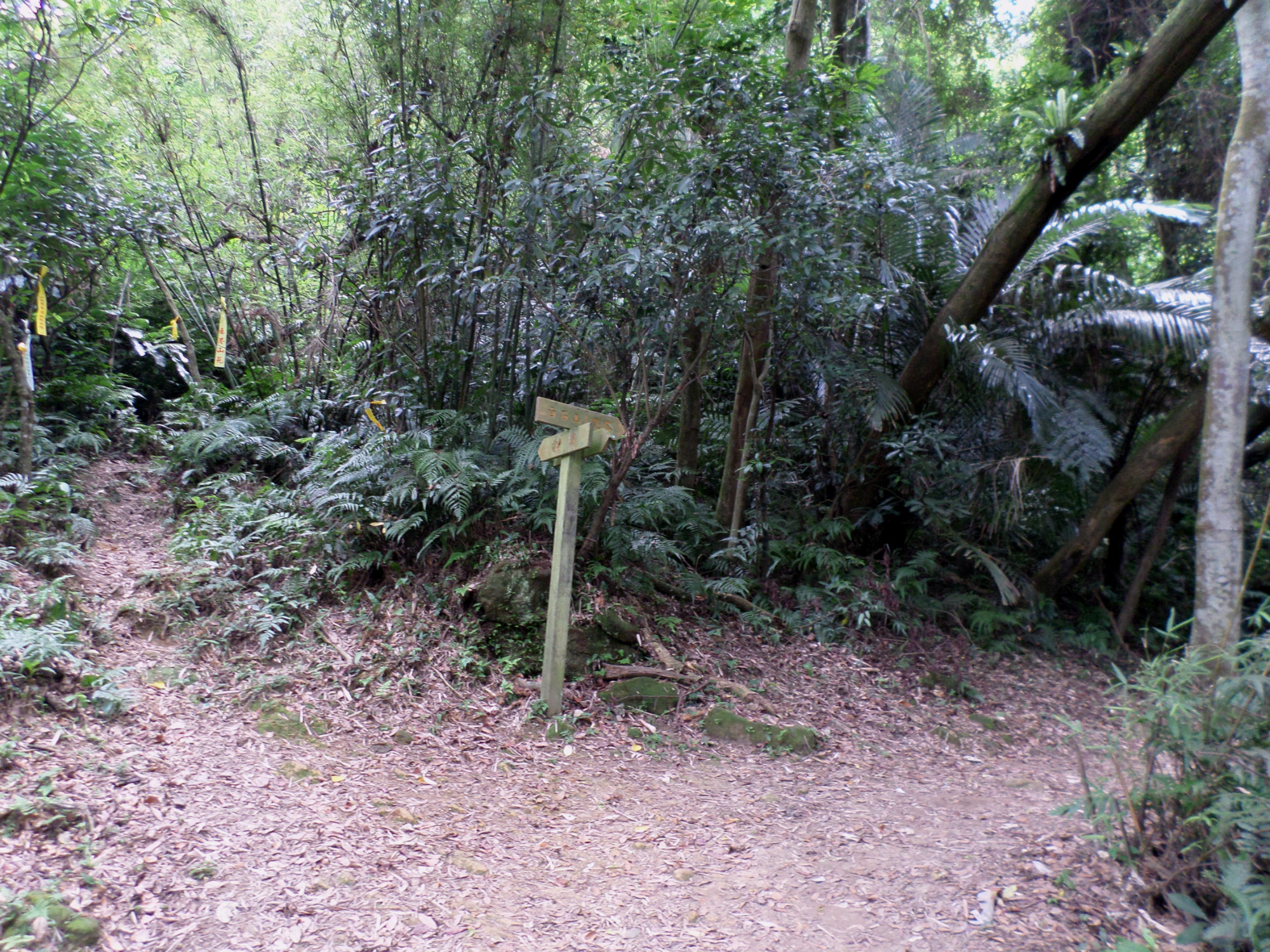
Go straight through at a trail junction marked by wooden signs in Chinese.

keep going straight here
Near the top there is a fork in the trail, take either for here. The right fork leads to the peak, but there is nothing to see on it. The left fork is slightly shorter. Either way turn left when you reach the top. The trail descends towards the lakes often with the aid of ropes.
descending to the statue park
Fork left just before the end marked only by hiking flags.
fork left here
The trail ends at a park called the CKS Memorial Sculpture Park which displays hundreds of statues of Chiang Kai-shek which have been removed from their original places around the island and put here. There is also a visitors’ centre at the park. Beyond the visitors’ centre the walkway leads to Cihu Lake which has Chiang Kai-shek’s mausoleum.
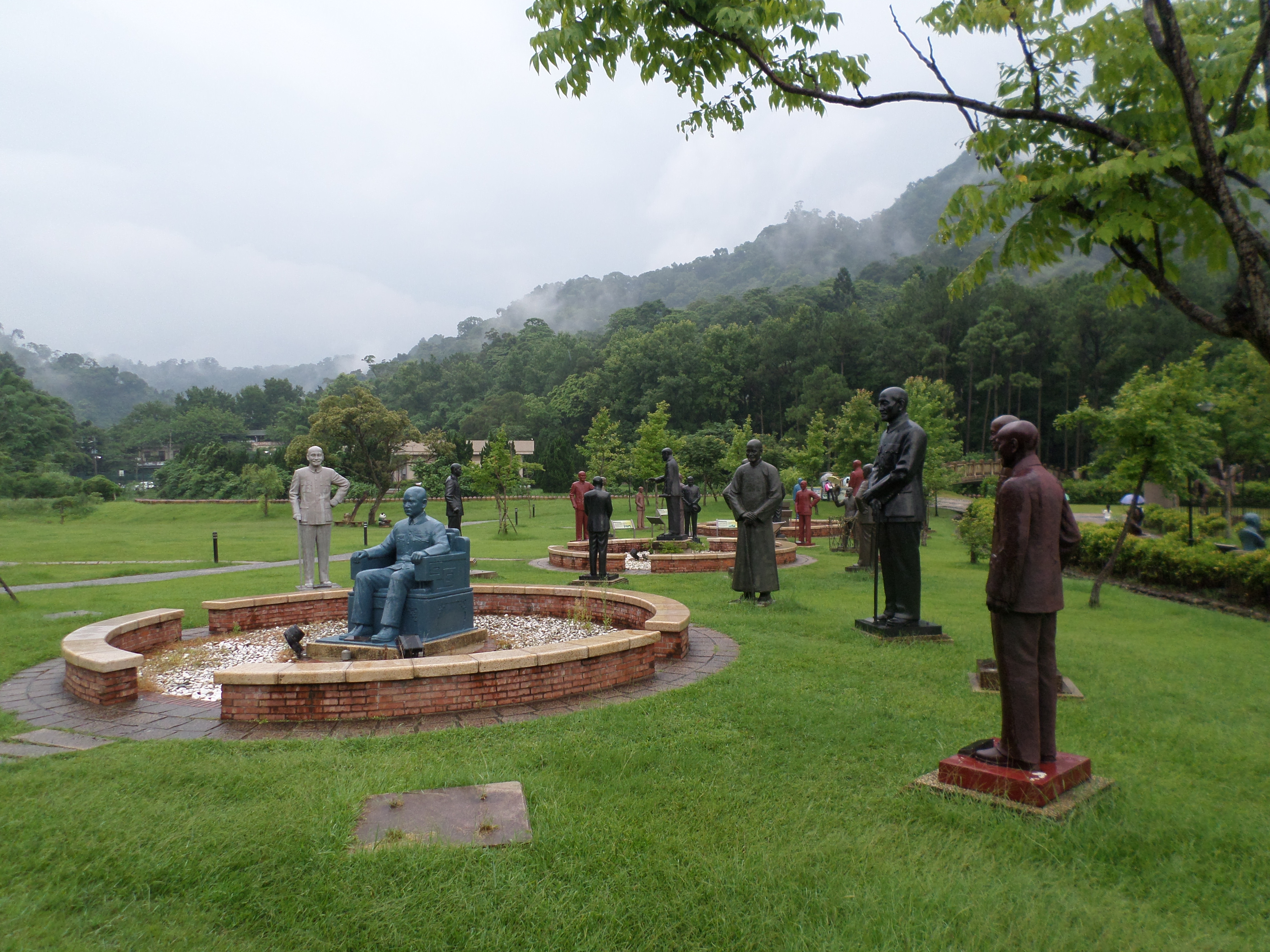 statues of Chiang Kai-shek |
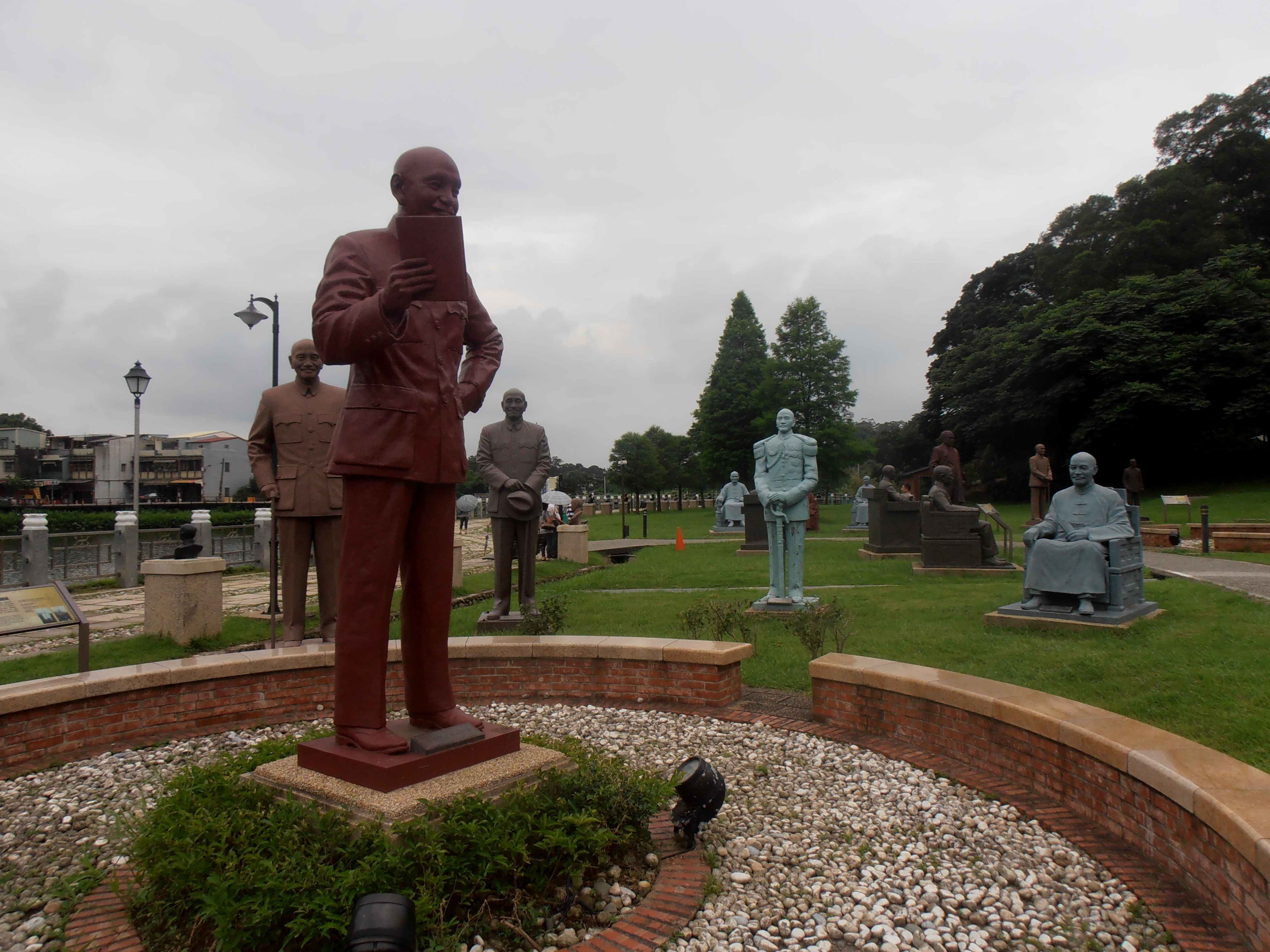 statues of Chiang Kai-shek |
 Cihu Lake |
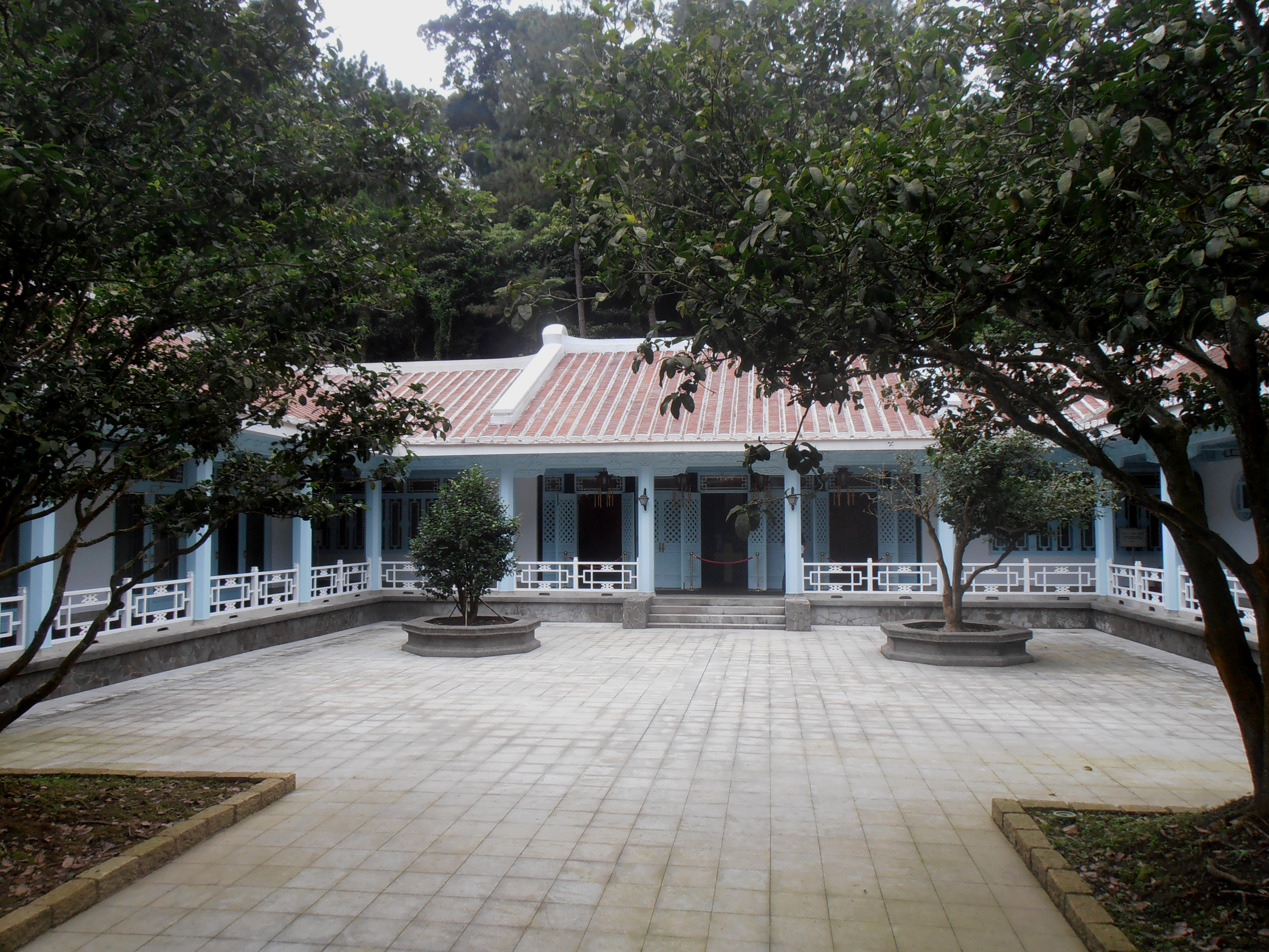 mausoleum of Chiang Kai-shek |
The bus stop is on the main road near the entrance to the large car park. From here you can get buses to Daxi, Taoyuan, or Zhongli. Buses are fairly frequent on weekends.
Map of the Hike
