Pingxi Crags
Pingxi District, New Taipei City
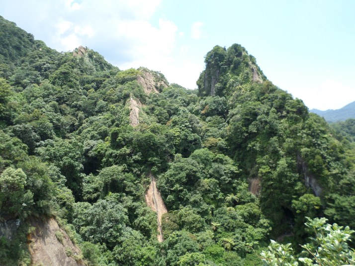
Introduction – this is another “must-do” hike for anyone spending time in Taiwan. The crags are also famous amongst Taiwanese people and you get a lot of non-hikers coming here, including families with children. It is probably best to do this hike on a weekday if you can manage it. This guide goes over the four Pingxi Crags peaks. There are excellent views from the peaks.
Access: take bus 795 from Muzha MRT Station and get off the Pingxi Old Street (Pingxi Lao Jie) bus stop. The stop will be announced in Chinese and lots of other people on the bus will get off here.
795 bus schedule: http://www.tpebus.com.tw/image/5163.2.pdf
795 route map: http://www.tpebus.com.tw/image/lineimage.php?imagetest=5163.2
Length: 4km, 4.5 hours
Trail Conditions: some stone stairs and dirt trail sections; two sections of narrow steps going along the side of a cliff face; steep rock-cut steps going up three of the peaks. Gloves are highly recommended for this hike.
Difficulty Level: 4/5
The Hike
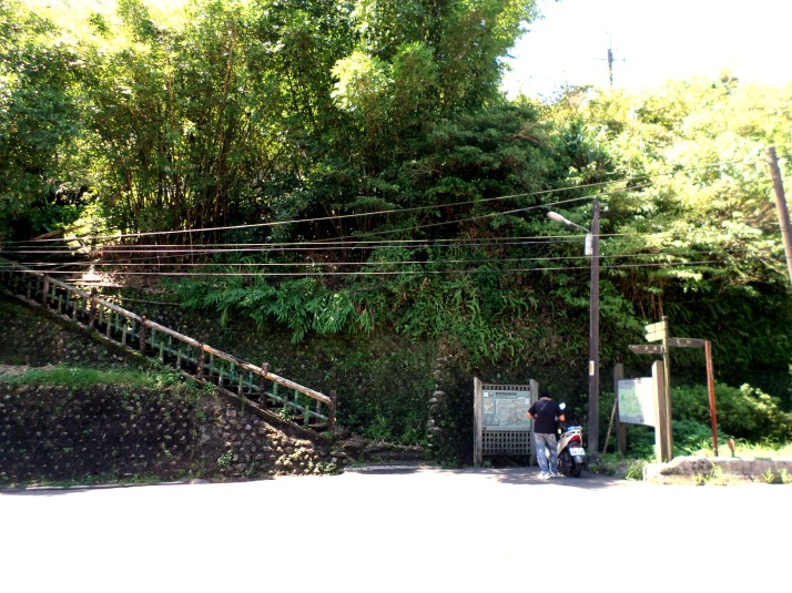
There is a Family Mart at the bus stop where you can buy water and things before starting the hike. From the bus stop walk along the road back towards Jingtong for about a few hundred meters until you come to a school. The trail starts across the road from the school and is clearly marked with signs and a trail map.
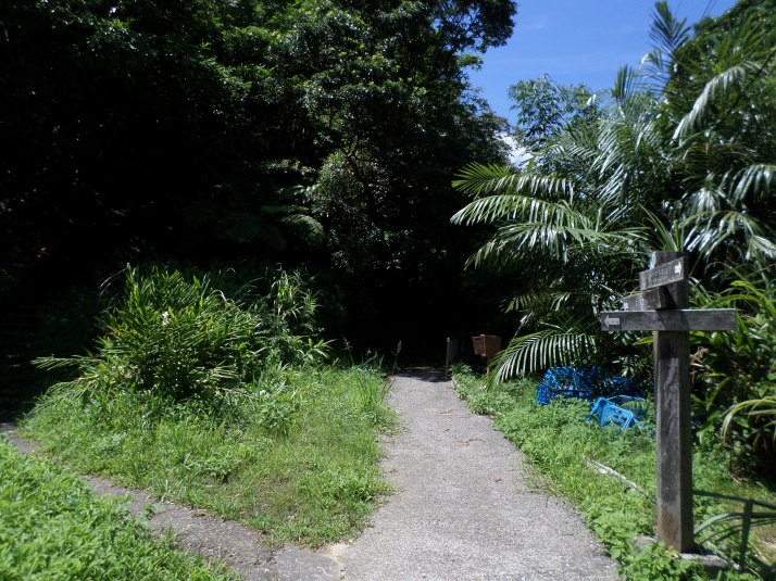
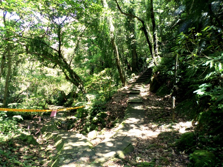
From the start of the trail climb up the first short set of stairs to a trail junction at the top. Fork left here signposted for Cimu Summit and climb to stairs ahead.
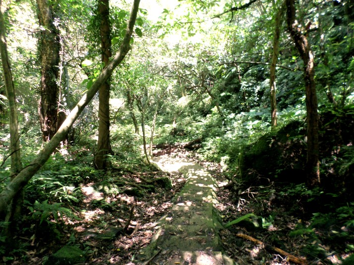
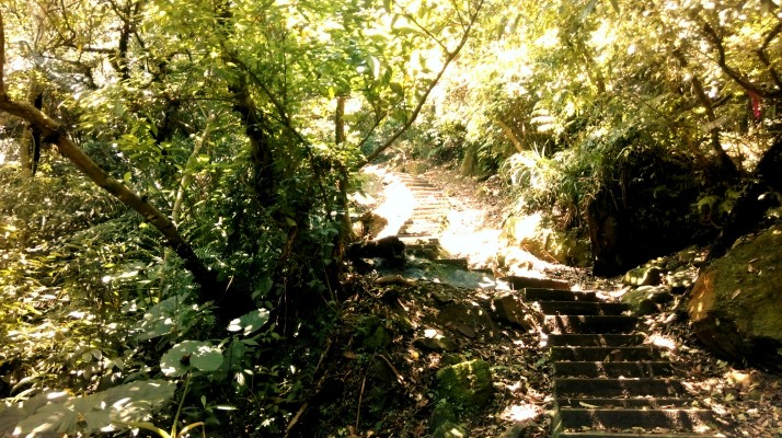
At the top of the stairs keep going straight when the stairs merge with a wide track. The trail follows an old mining cart track up the valley above a small stream.
Turn left at a trail junction with some stairs climbing upwards away from the track signposted for Tzmu Peak and Hsiaotz Mountain.
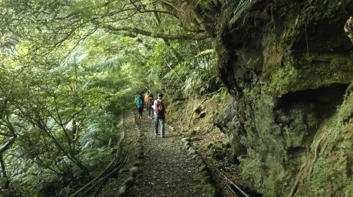
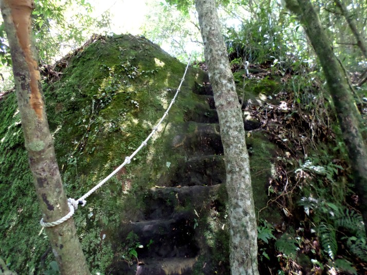
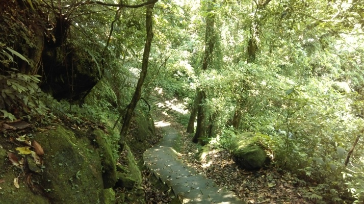
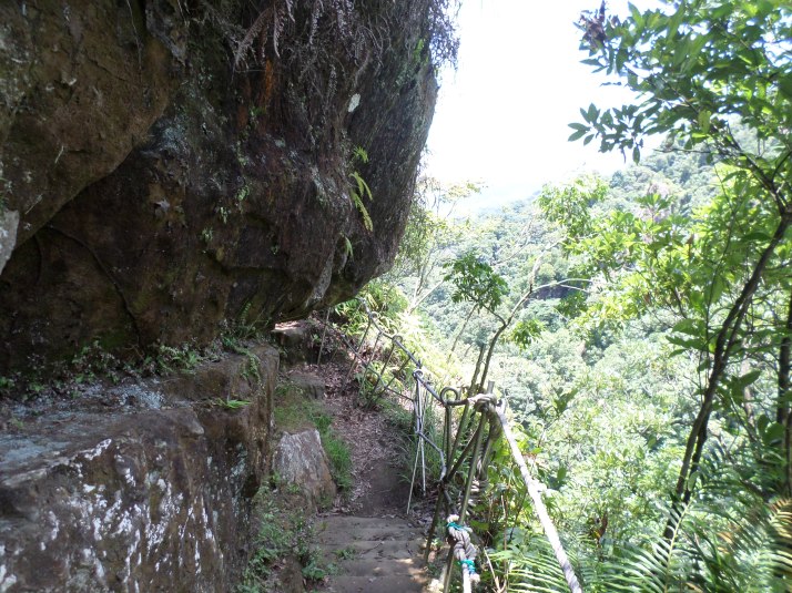
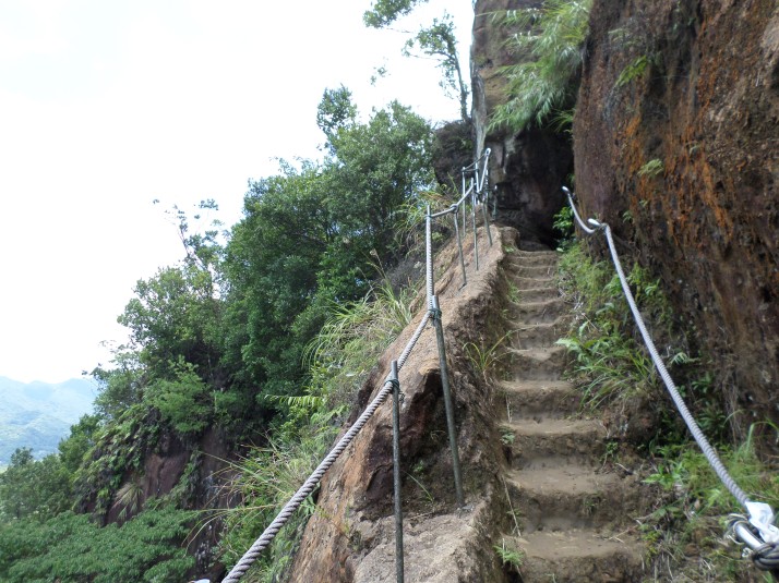
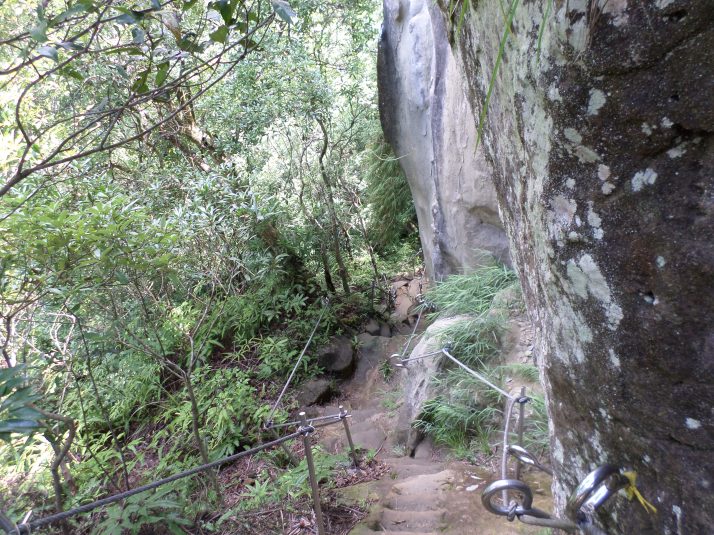
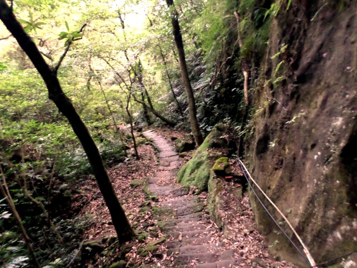
The stone stairs quickly turn into a dirt trail. In a few minutes the dirt trail arrives at the base of a cliff. Steps climb narrowly upwards along the cliff face. There is a rope that you can hang onto, but no safety barrier. The rocks are also wet from water dripping down from the cliff. Be careful and hang onto that rope at all times!
At the top the trail changes back into a dirt trail continuing its steep climb upwards, sometimes with ropes.
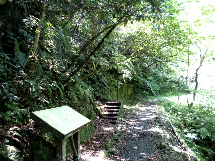
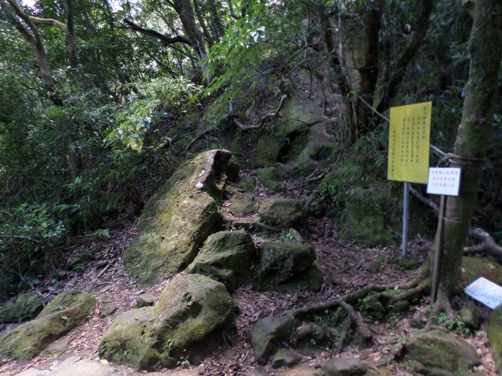
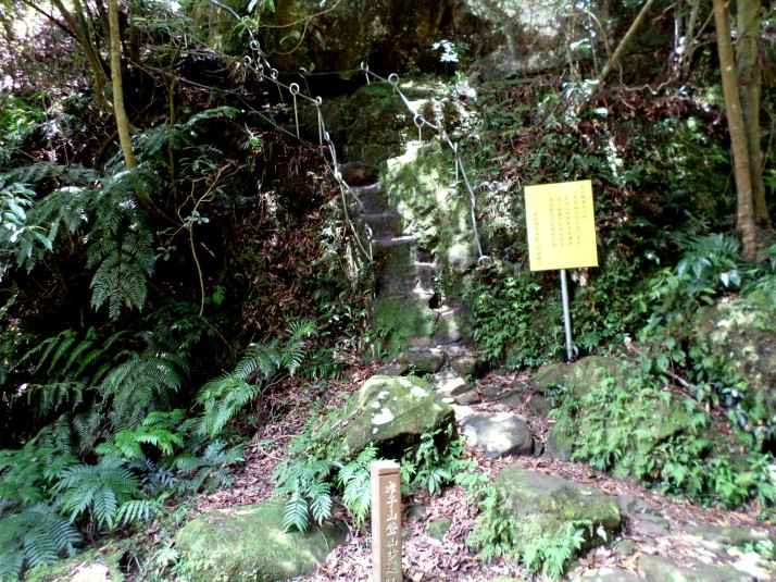
Near the summit the trail makes a turn to the right and there is also a trail map here. To reach the summit of Cimu Peak you need to make a short but difficult vertical rock climb with ropes.
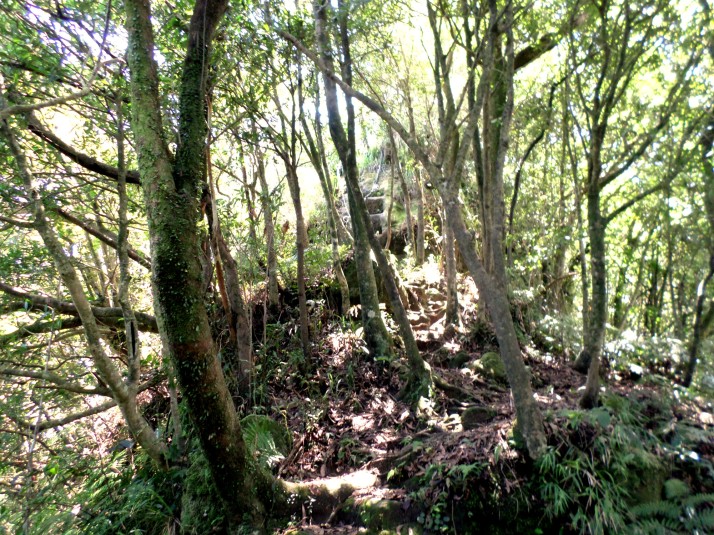
The trail leads away from the ropes and map along the top of the ridge through the trees.
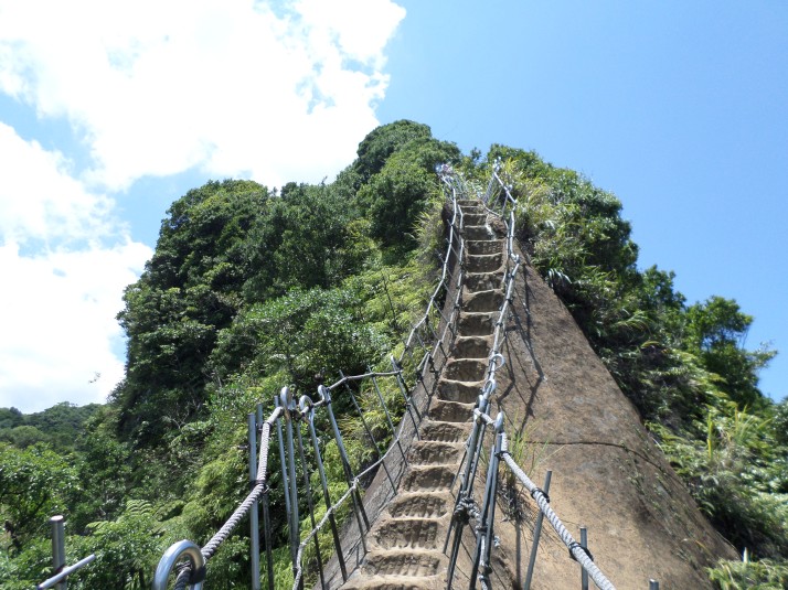
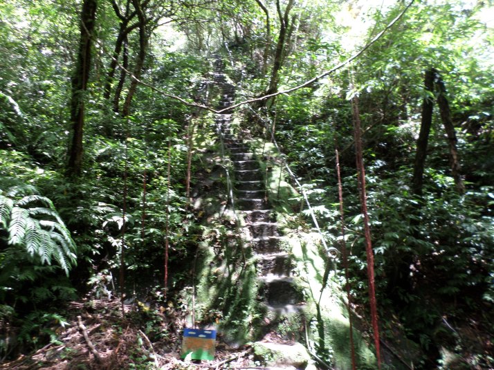
Then climbs upward with rock-cut steps and a rope.
At the top the trail is flat again through the trees.
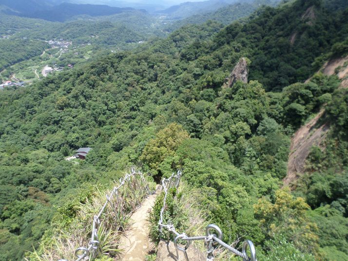
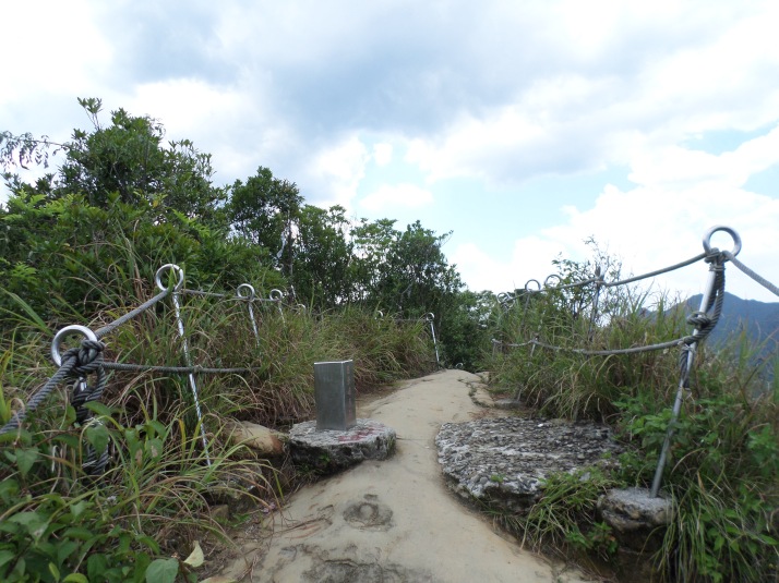
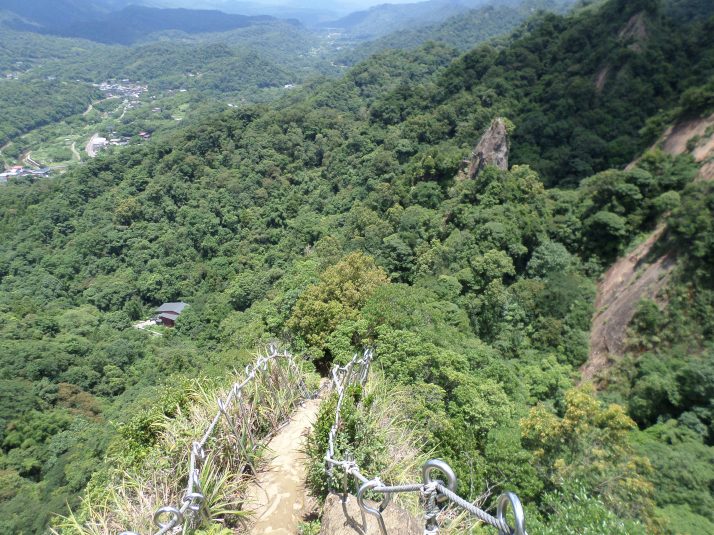
Then more rock-cut steps and a rope lead up to the high point on the trail. The trail emerges from the trees along the top of the ridge providing for some excellent views.
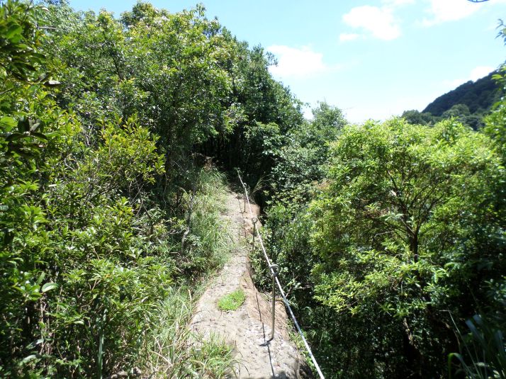
At the top there is a rocky spine with a safety barrier on one side.
Then it’s back into the trees for a descent. The trail doubles back sharply to the right and descents to a trail junction in front of an overhanging cliff. Turn left here.
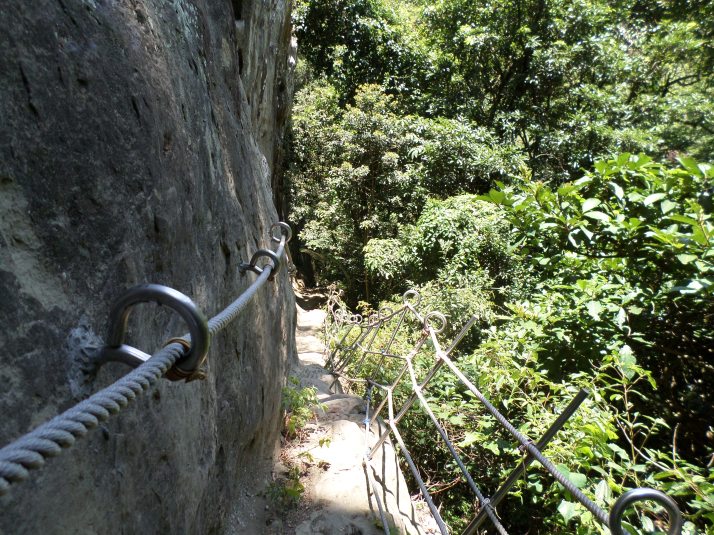
From the junction the trail descends along the cliff face along a ledge. For the first half the ledge is quite narrow. There is safety barrier here but I am not confident that it would save you in a fall. Again, keep a firm grip on the rope at all times. Half way down the ledge become wider and less precarious.
UPDATE: on my last visit here in September 2016 the trail along cliff here was damaged and too dangerous to use. If that is still the case there is a parallel side trail along the dirt that can be used.
At the bottom the trail comes to the top of some stone stairs. Take the stairs heading down.
Fork right at a trail junction with some more stone stairs climbing back upwards signposted again for Tzumu Peak and Hsiaotz Mountain.
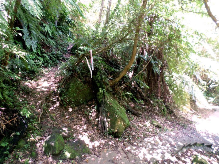
At the highest point of the stairs there is a trail branching off on the right side. Ignore this trail for now and take the stairs going down. In a short distance look for an unsignposted dirt trail branching off on the left, marked only with flags. Take this trail which leads to the peak of Putuo Mountain.
At first the trail goes along a narrow ledge with a safety barrier.
Then it turns sharply to the left and climbs steeply to the peak with rock-cut steps and safety barriers on each side.
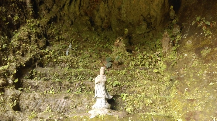
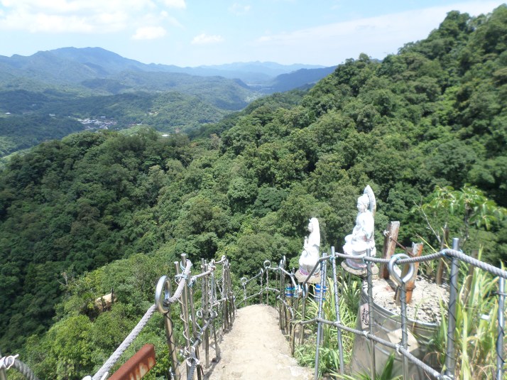
At the top there are some small Buddhist statues, good views of the Keelung River valley, and plenty of room for lots of people.
From Putuo Mountain return back to the stairs.
and keep going downwards until you come a stone trail branching off on the left side.
Take this short trail which leads up to a small cave temple.
From the temple return back up to the highest point of the stairs and take the trail leading up to the top of Tzumu Peak.
The trail climbs to the top with more rock-cut steps and ropes.
Naturally there are more great views from the peak including a good look at Putou Mountain directly across from it.
From the peak take the steep rock-cut steps going straight downwards. (A trail branching off on the right leads to Zhongyang Piton. See my guide under Pingxi 2 for hiking this mountain.)
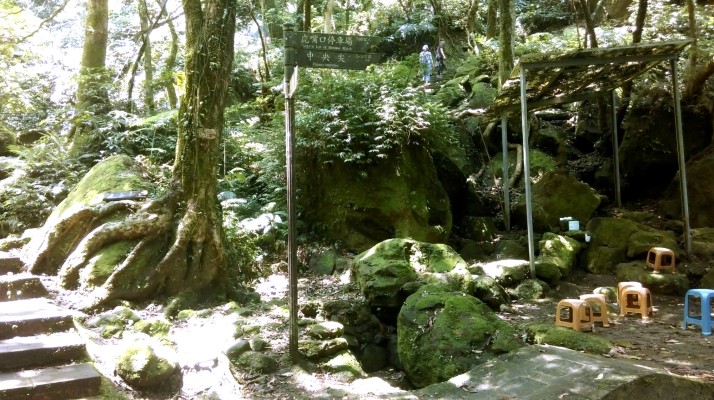
At the bottom there is a trail junction, a small creek, and a small stone bridge.
Ignore middle steps climbing steeply upwards (these don’t go anywhere) and take the rock-cut steps climbing upwards on the far left side to climb to the top of Mt. Xiaozi.
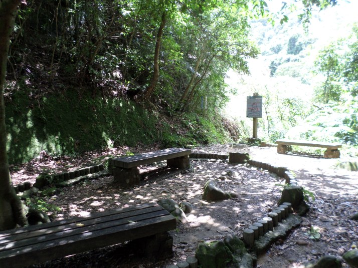
After a short climb the trail arrives at a rest area with benches.
Turn left here and take more rock-cut steps climbing upwards.
After a short distance ignore a trail branching off on the right side (this trail doesn’t go anywhere) and keep going straight following the now flat trail along a ledge. The trail then makes a short climb up on rock-cut steps and passes through the rocks. Turn left after passing under the rock.
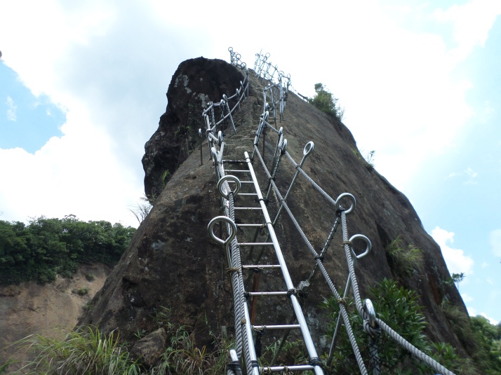
After passing under the rock the trail swings around sharply to left and climbs up to the peak first over a metal ladder. The ladder creaks when you climb on it and I sure hope somebody inspects this thing!! After the ladder rock-cut steps complete the climb to the peak.
There are more great views of the peak and you can look back at Putuo and Tzumu Peaks.
From the peak return back to the overhanging rock and take the left fork leading down back to the rest area. From the rest area return back down to the trail junction at the bottom the same way you came up.
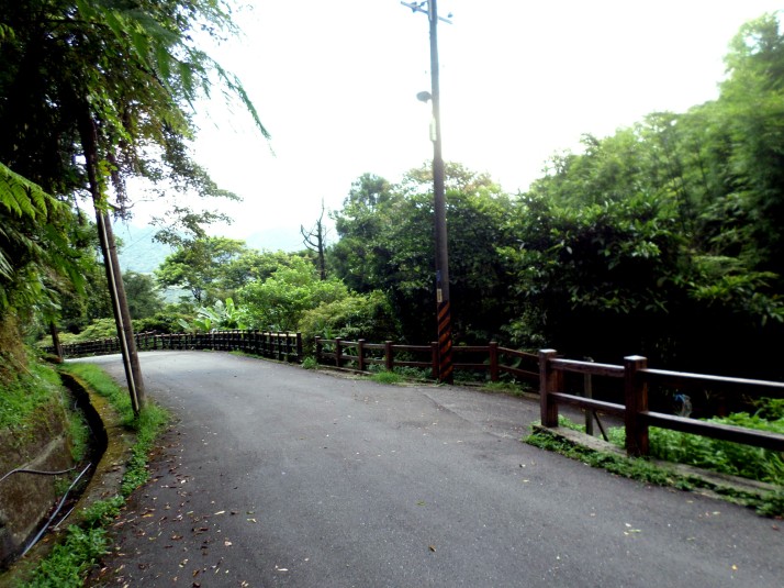
From the trail junction at the small stone bridge take the stone steps going downwards. This trail brings you to the end of a road.
Go down the road a short distance and turn right when another road merges coming up from a house. Walk down the short slope towards the house and turn left onto a trail leading down.
This trail follows a small stream back down to Pingxi, with stone steps leading down past a small waterfall at the end of the trail.
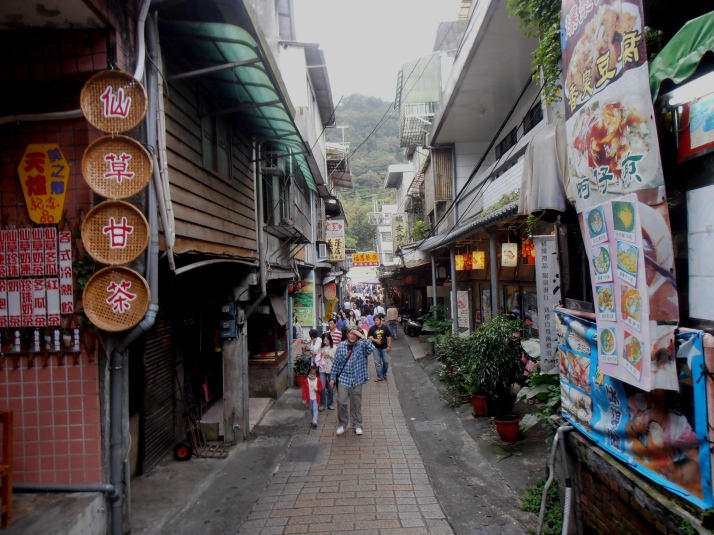
Cross the bridge in front of Family Mart to go to Pingxi’s Old Street.
Map of the Hike
