Houtong Old Mining Trails
Ruifang District, New Taipei City
Introduction
This is a circular hike that starts and ends at Houtong (aka the Cat Village). The hike goes along a couple of old mining trails passing two abandoned towns along the way, and over the peak of Cukeng Mountain which has excellent views of Juifen and the north coast.
This hike takes the Dacukeng Trail up a valley to the top of Dacukeng Mountain, goes along the ridge at the top, then descends back to Houtong on the Siaocukeng Trail. Both of these trails also connect to trails leading to Juifen or Jinguashi.
Access: take the train to Houtong, about 1 hour from Taipei Station, only local trains stop here
Length: 11km, 4 hours
Difficulty Level: 1/5
Trail Conditions: mostly stone trails with some short dirt sections
The Hike
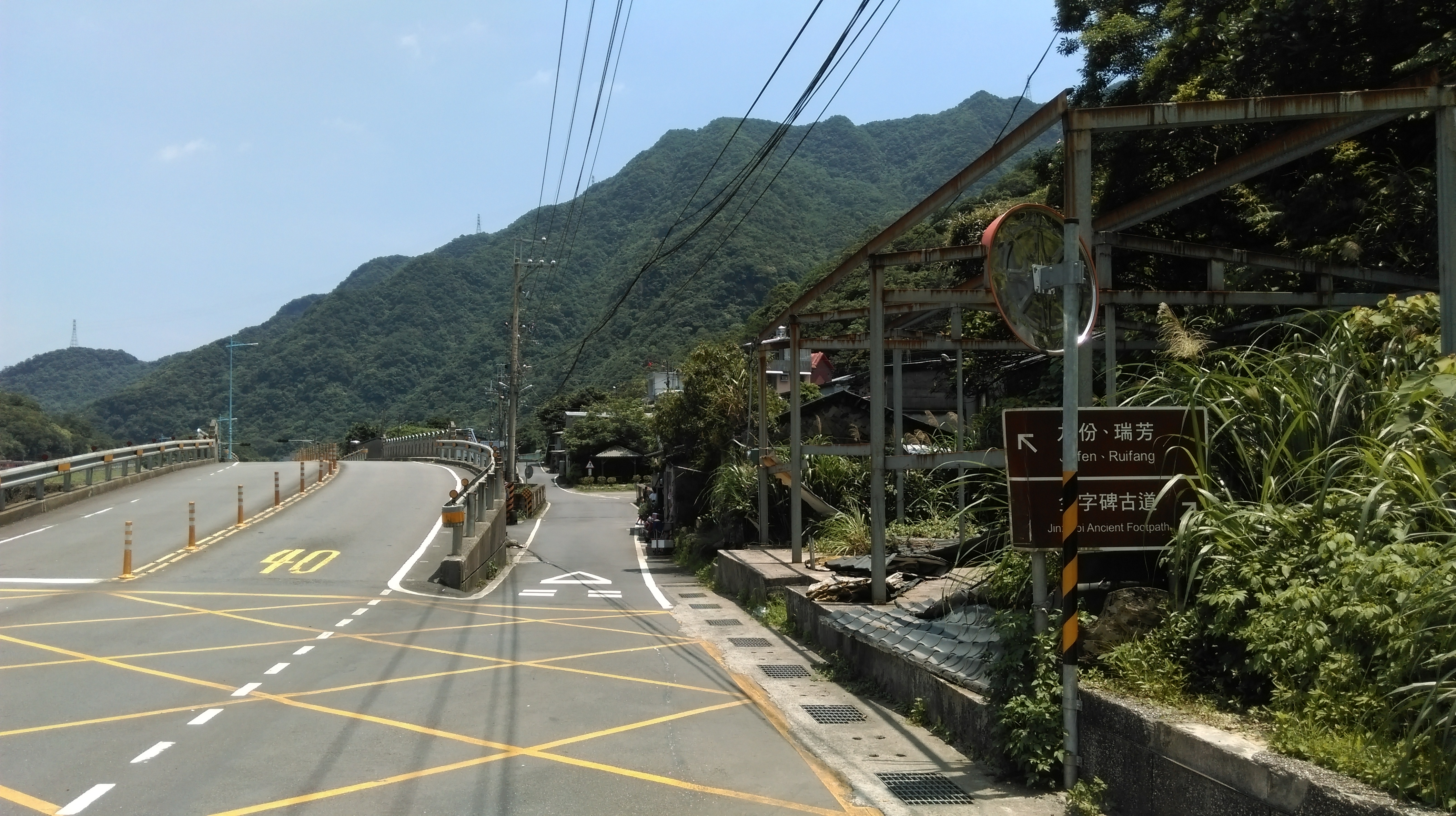
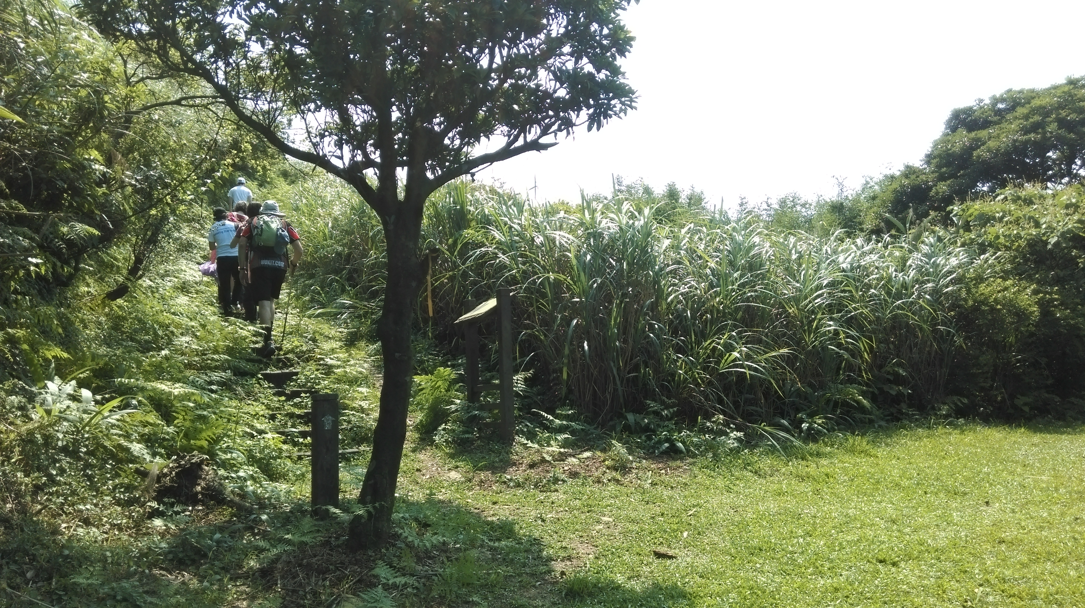
Exit the train station and turn left following the road leading away from Houtong towards Ruifang. Keep going straight at a T-intersection when you come to a bridge crossing the Keelung River and continue walking along the tracks. The road will pass through a short tunnel ahead. After the tunnel there is another T-intersection and another bridge crossing the river. Turn right here and cross the bridge. There is also a small tourist information centre at the intersection that is worth a quick look inside. Turn left after crossing the bridge at another T-intersection. The road splits after the intersection, take the small lane forking off the main road to the right. After the road crosses the stream turn right, signposted for Jinzibei Historical Trail.
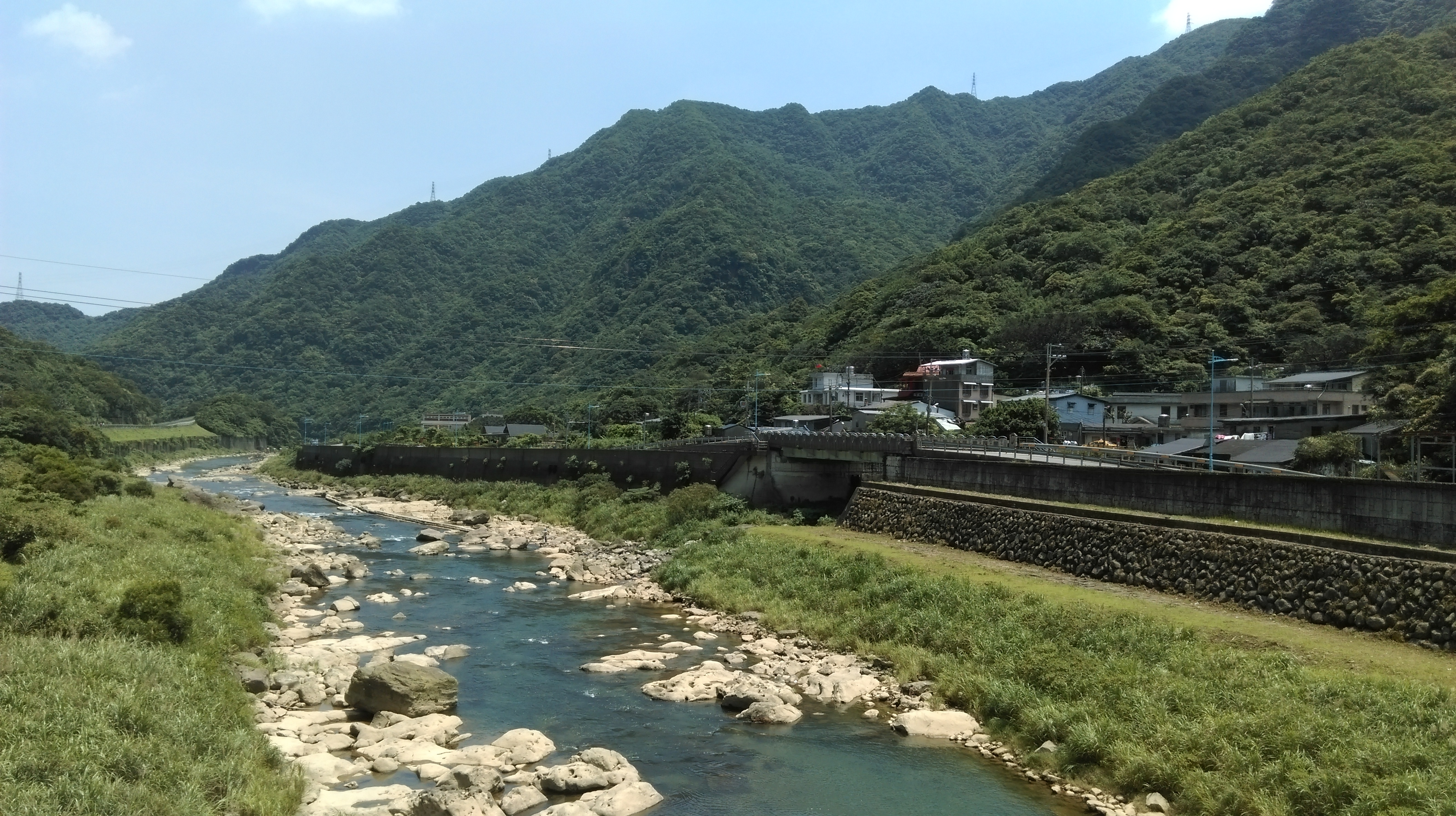
the Keelung River and Dacukeng Mountain
take the small lane here, cross the bridge, then turn right
After the turn off keep following the road all the way to the end. The road will follow the stream for about 500m then make a couple of sharp hairpin turns leading away from the stream. (At the first turn is the start of the Jinzibei Trail on the other side of the stream. This trail climbs up to the top of the ridge passing the Golden Characters Tablet near the top. The trail is entirely made of steep stone steps, taking about 30 minutes to reach the tablet.)
Keep walking on the road around the two sharp turns all the way to the end. At the end of road between the last house and a bridge over the stream is the start of the Dacukeng Ancient Footpath. The trail is clearly marked with a sign and a trail map. Before taking the trail cross the bridge and follow the road up the opposite bank for a few minutes. At the end you’ll find an old mine tunnel entrance, with mine tracks and a cart still in place.
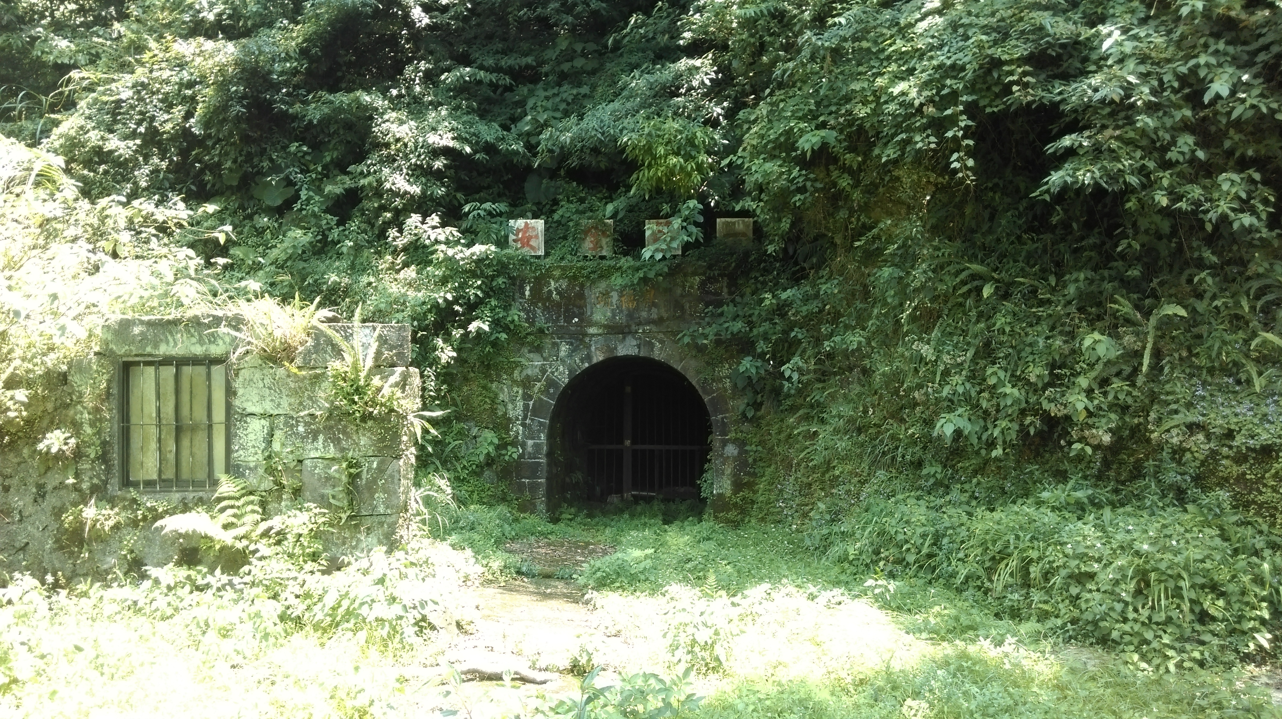
mine entrance
start of the Dacukeng Trail
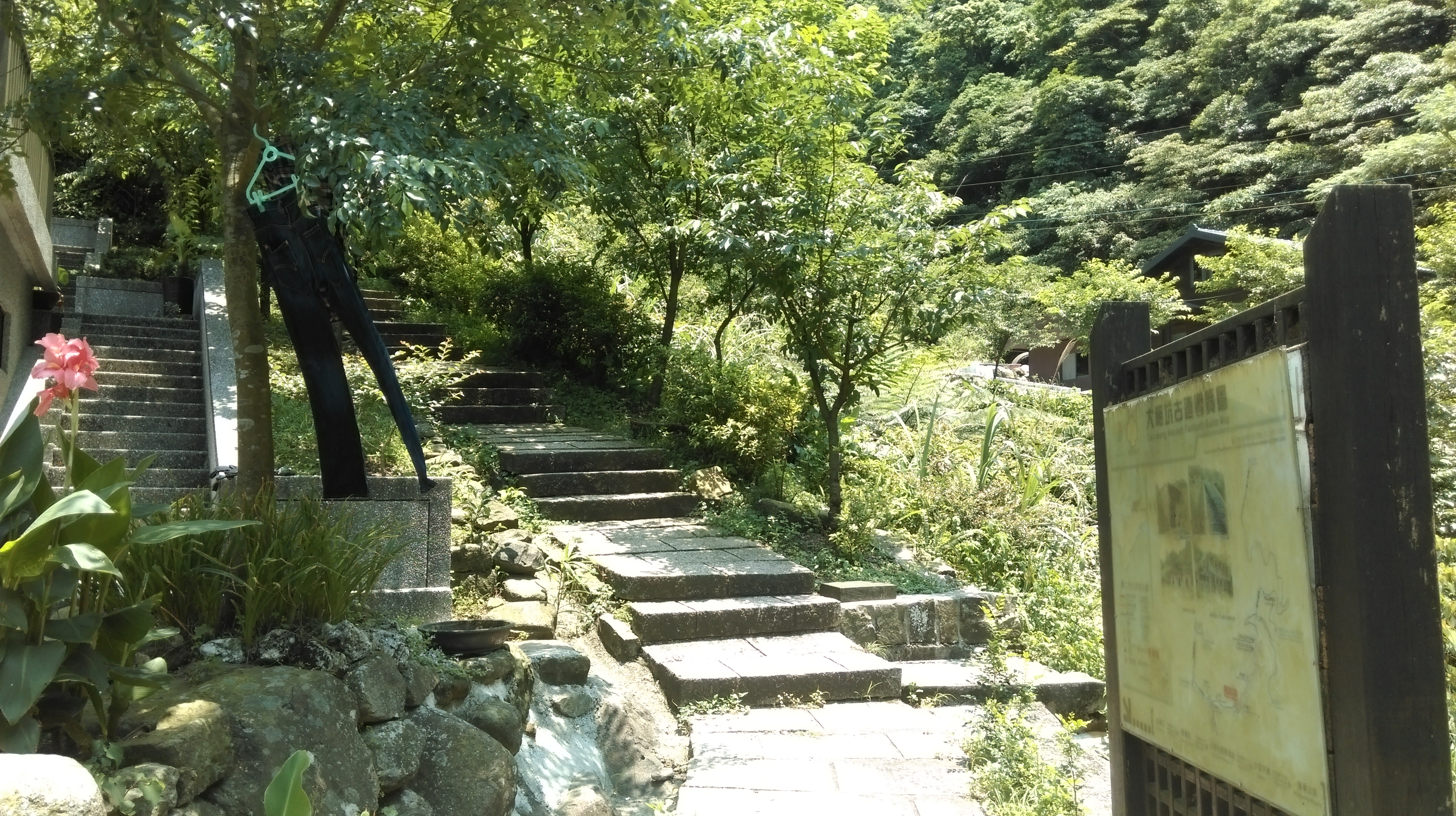
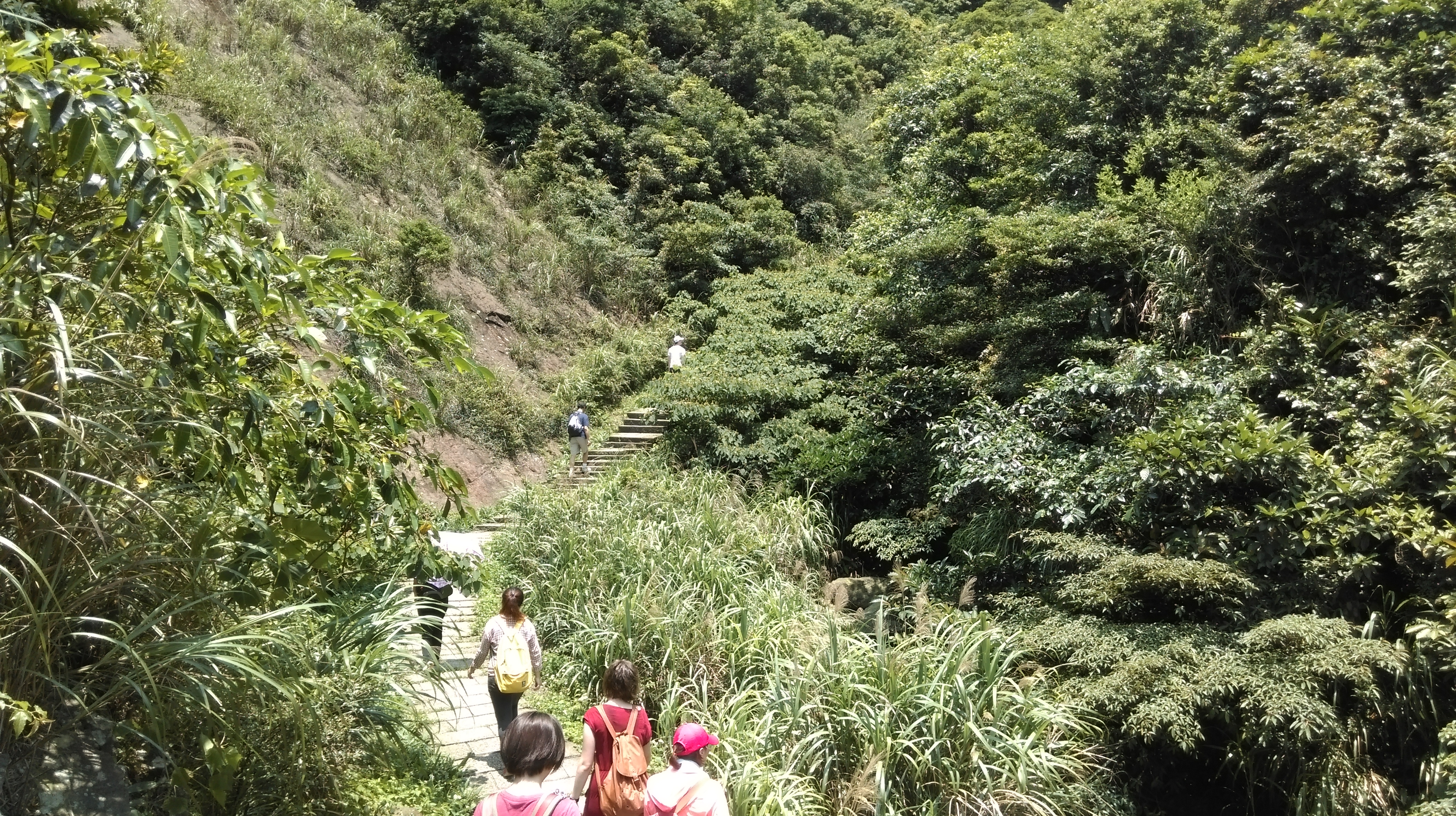
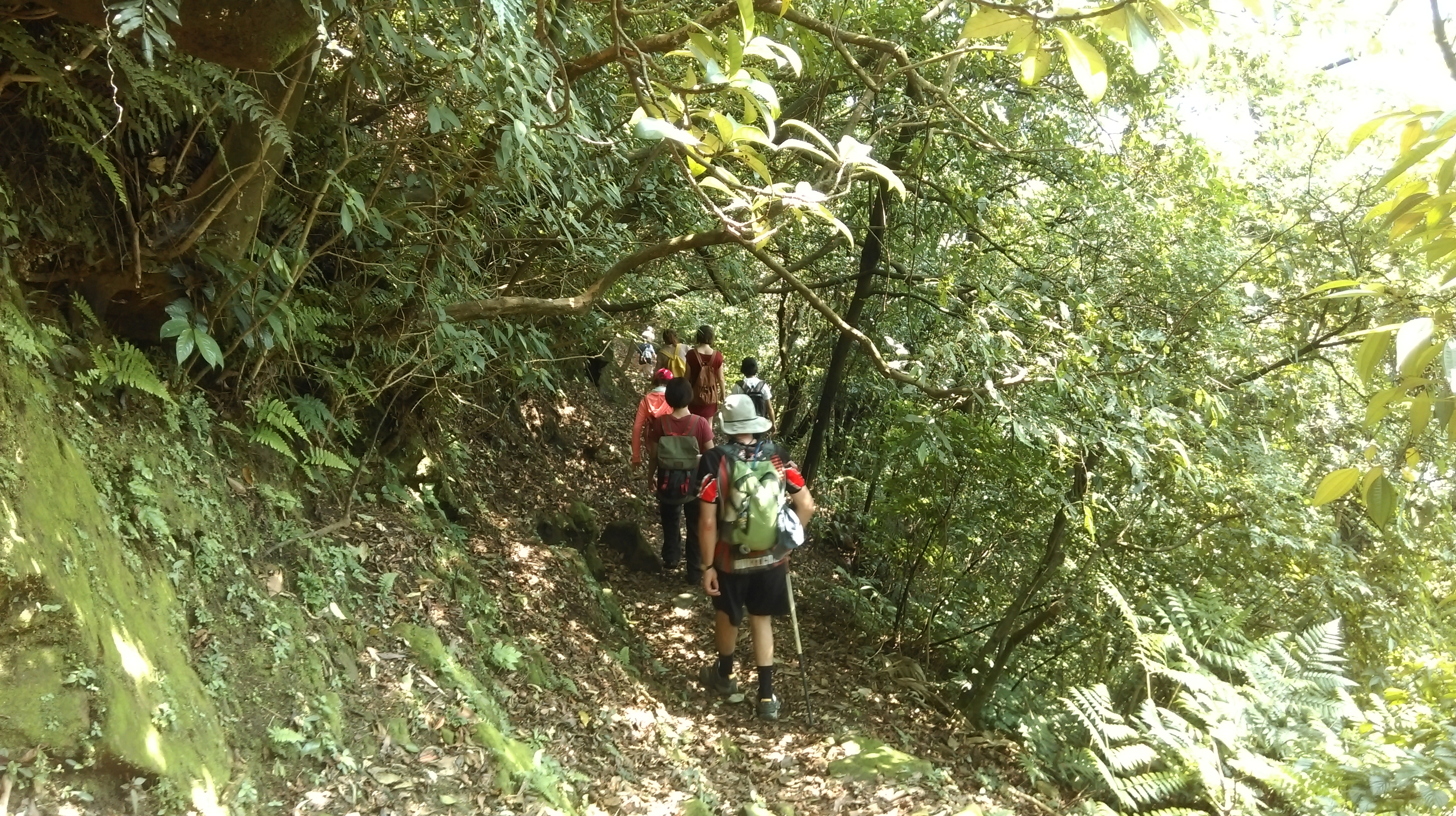
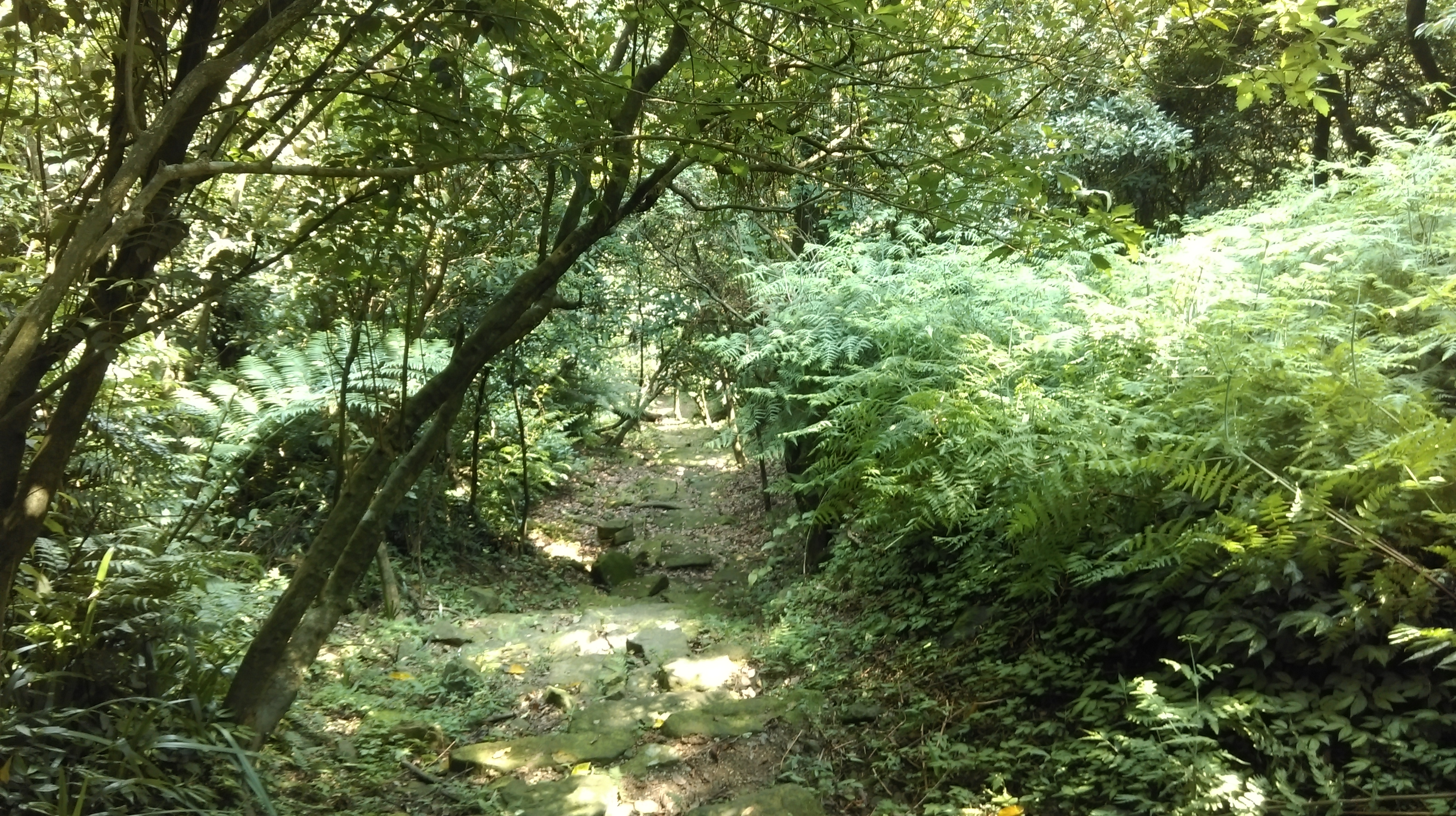
The Dacukeng Trail follows the stream up the valley to an abandoned mining town, then climbs out of the valley on an unusual raised staircase.
This trail is made of well maintained stones with lots of steps, but it is not very steep. The trail follows along the stream passing an old Land God shrine along the way. It then zig zags away from the stream as it approaches the Dacukeng Village Site.
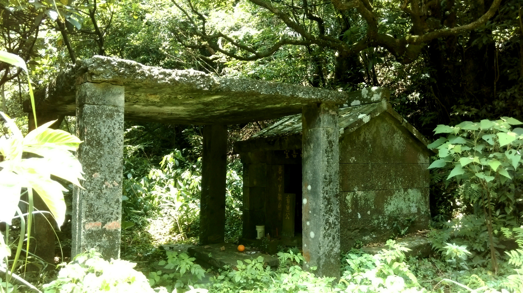
Land God shrine
on the Dacukeng Trail
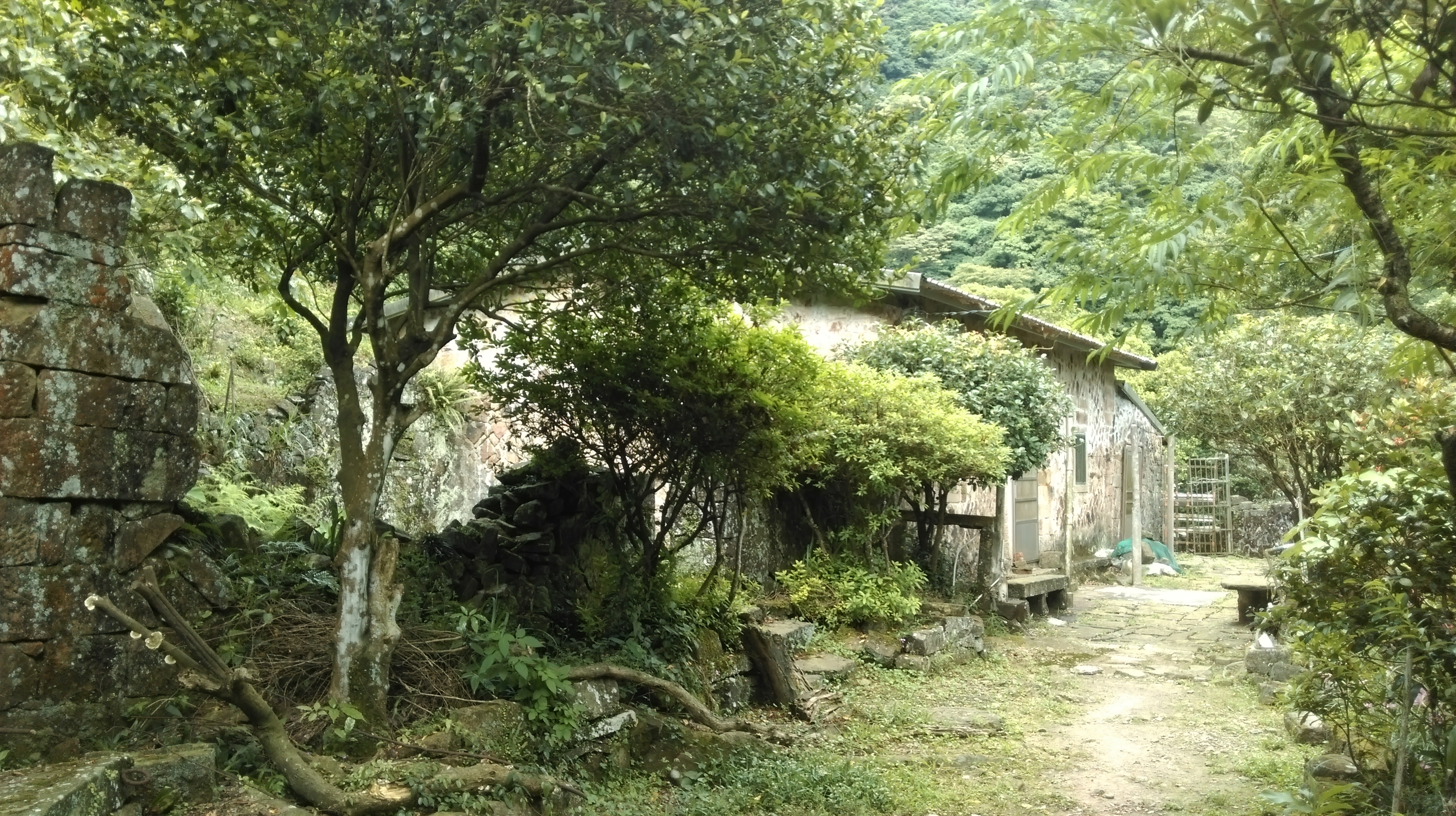
Dacukeng was a gold mining town of about 1200 people that was abandoned after the mining stopped in the late 1950s. The most visible remains that you can see today along the trail are a temple and the elementary school next to it. Most of the town was down the hill closer the stream. The roofs of the houses have all collapsed and the ruins have been swallowed up by the vegetation. At the temple on weekends you may find a volunteer attendant here who grew up in the town and went to the elementary school. He has lots of old photographs and likes to talk with visitors, but only speaks Chinese.
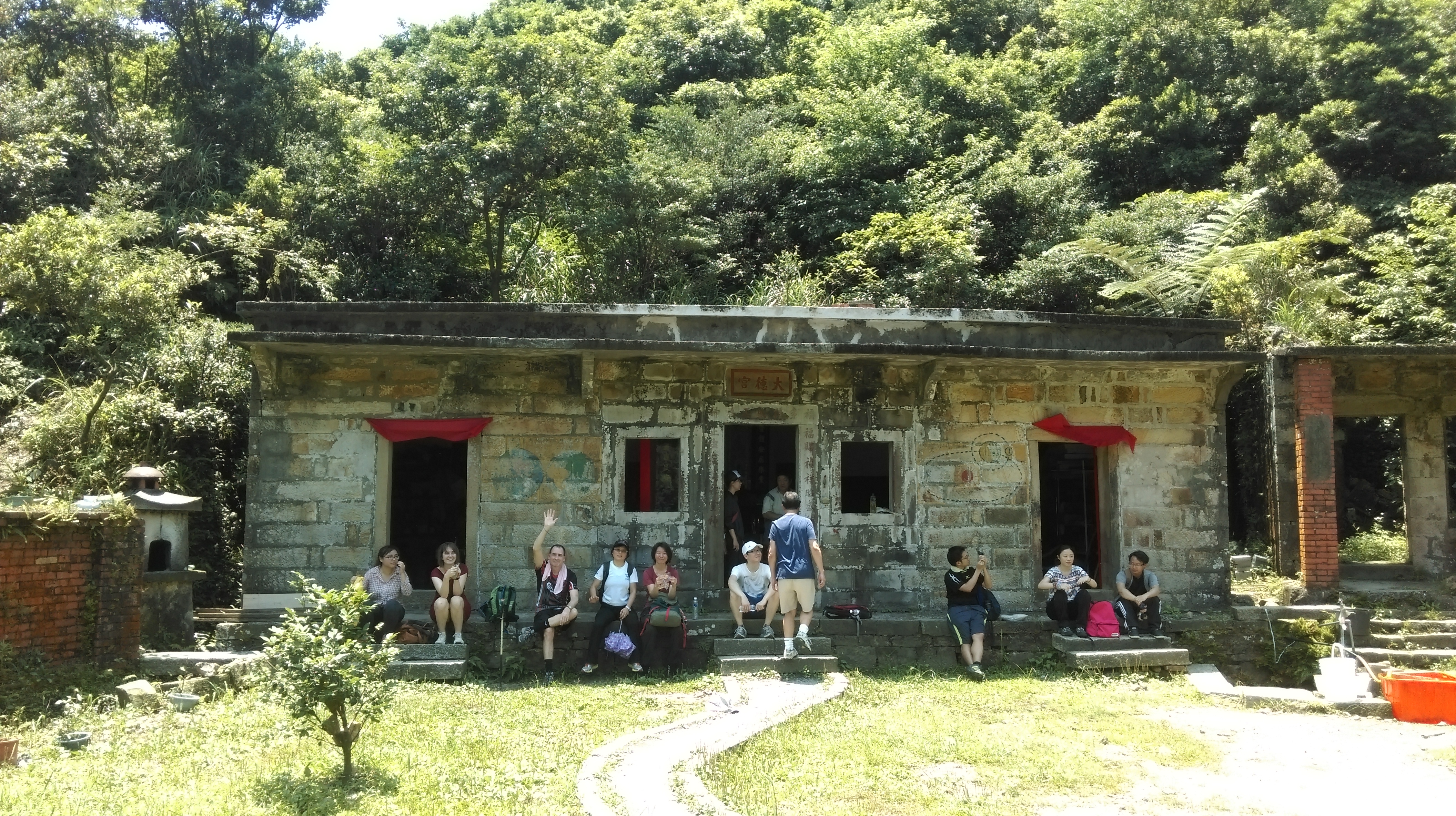
temple in Dacukeng
Dacukeng elementary school
Going away from the temple and school, the trail passes the remains of a shop then climbs up the long staircase out of the valley. At the top the stairs there is the end of a small road. Turn left here and walk on the road to the main highway that goes along the top of the mountain.
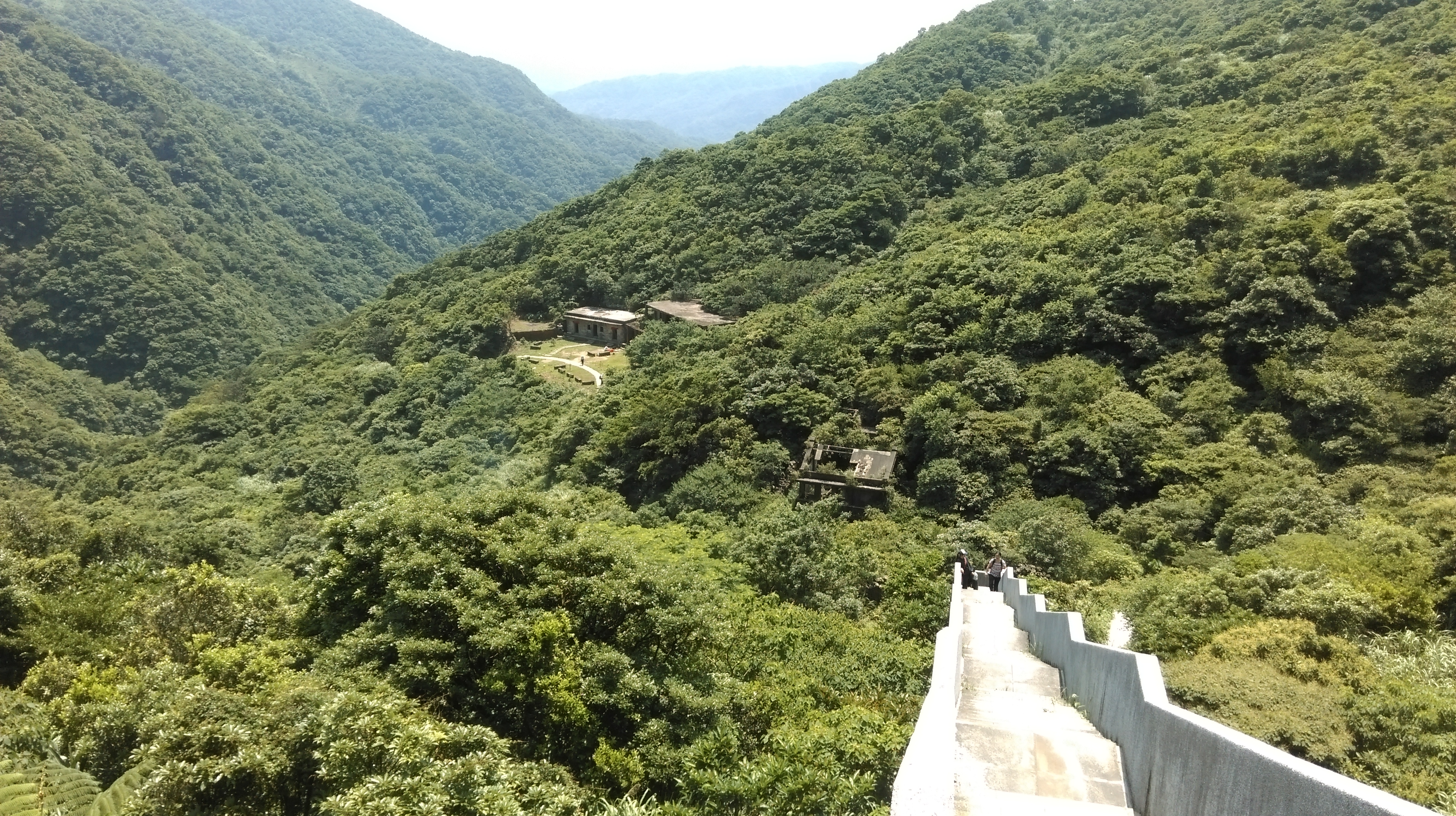
climbing up the staircase with Dacukeng ruins behind it
at the end of the Dacukeng Trail
When you reach the highway turn left then left again a few meters down the highway. There is a service road here that provides access to some towers on the top of the mountain. There is a locked gate to prevent people from driving on the road, but there is an opening in the gate for people to walk through. (Instead of turning here, continuing to walk on the road around a bend leads to a trail to Jinguashi starting on the right hand side of the road).
walk through the gate
Pass through the gate and walk along the road for a short distance until you come to a stone trail branching off on the right hand side.

turn right here
Take this trail then fork left going up some stairs after a short distance (continuing straight here on the trail going down leads to Juifen).
fork left here
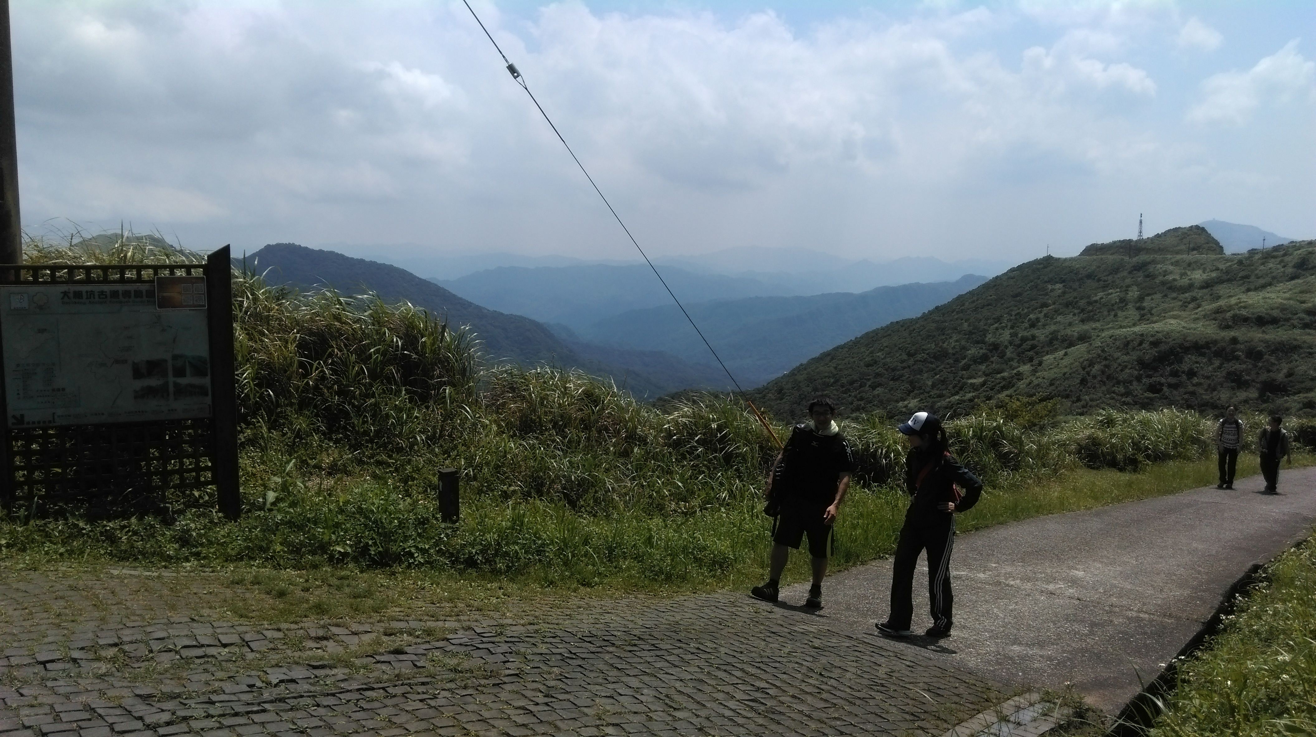
After a short stair climb the trail changes to dirt and mowed grass. There are excellent views from here of Juifen, Teapot/Mt Banping above Jinguashi, and the coast towards Keelung.
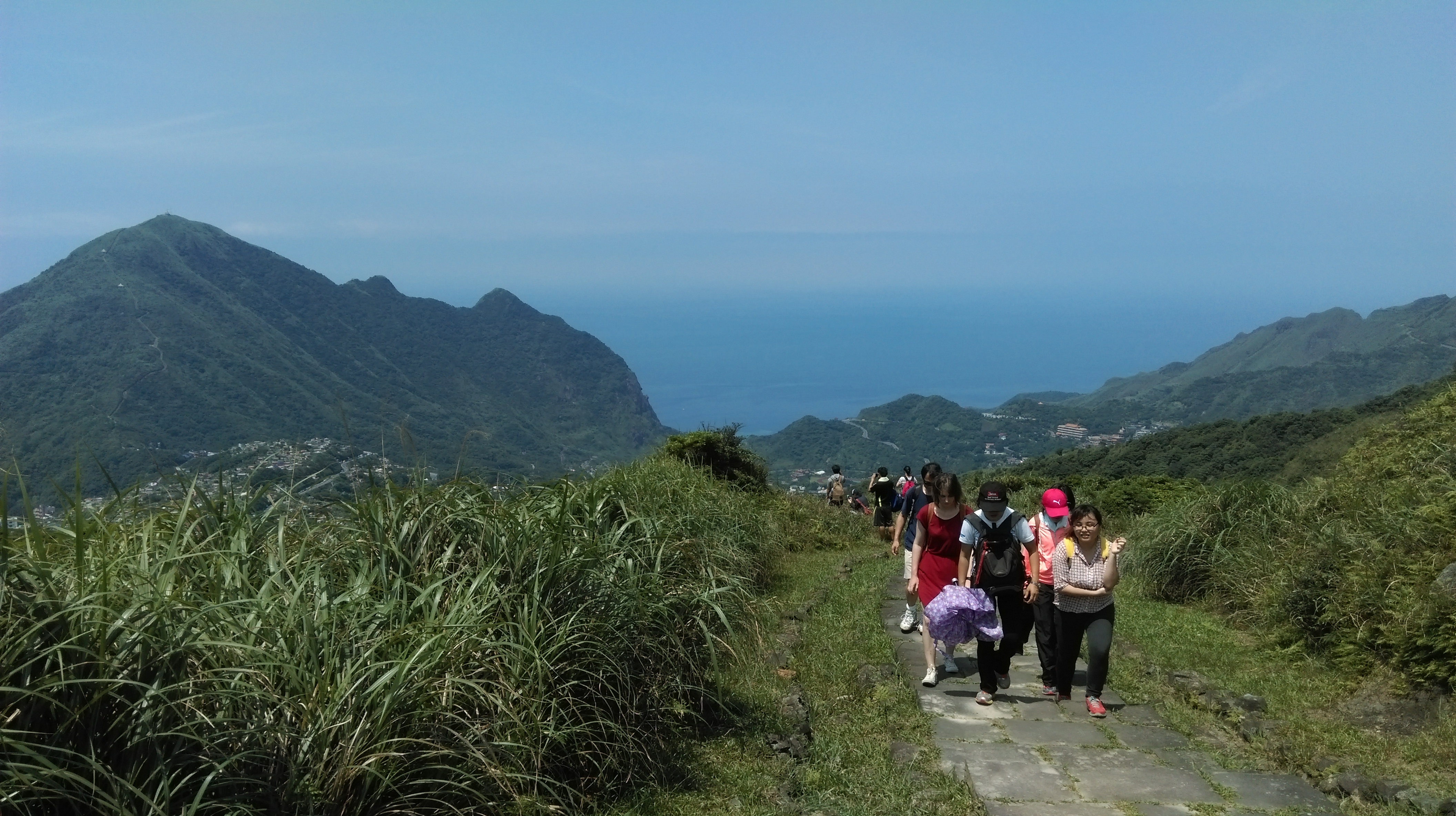
great views from the trail
Turn left at T-intersection soon after climbing up the stairs, signposted for Lu Tou 175m. This leads to an open pit gold mining site at the top.
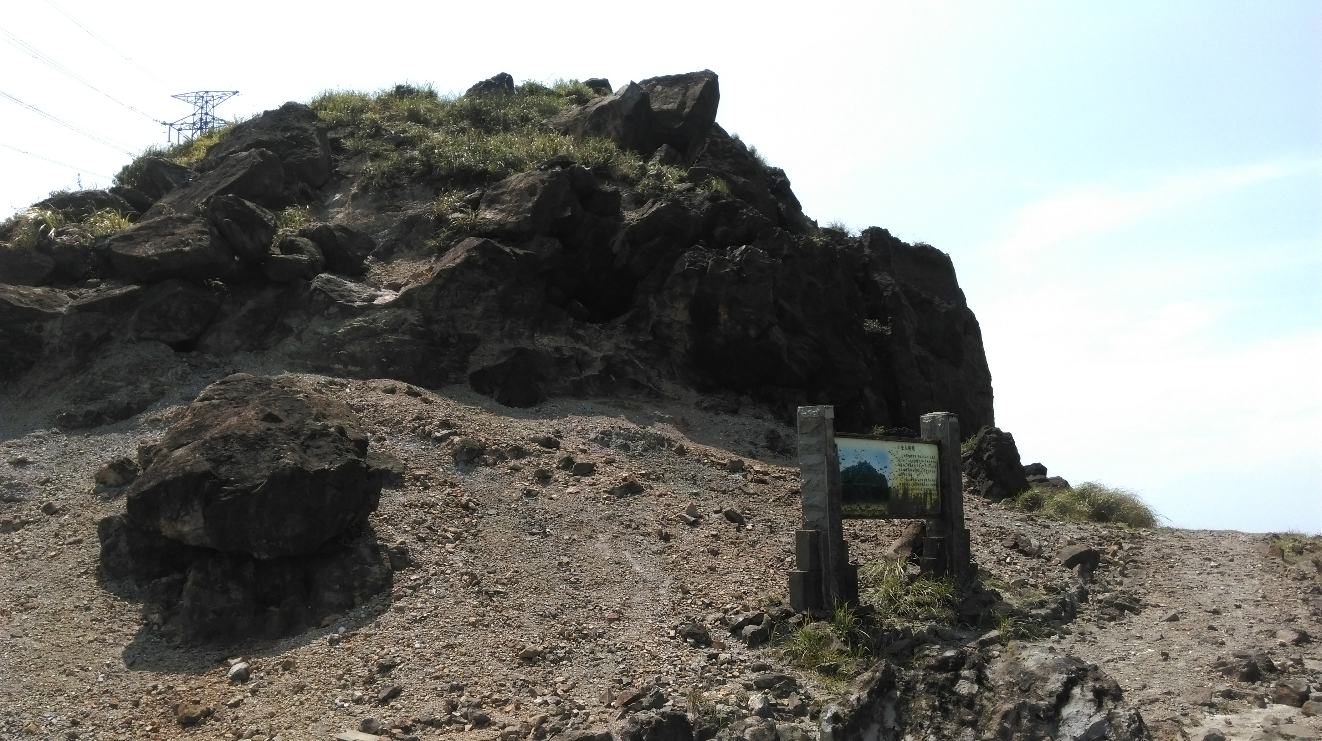
gold mine pit
After seeing the site you can either keep going straight or return back down to the junction. With either option turn right at the next trail junction in a couple of mintues. Follow this dirt and mowed grass trail leading slightly downwards passing the electrical towers. There are more great views along the trail.
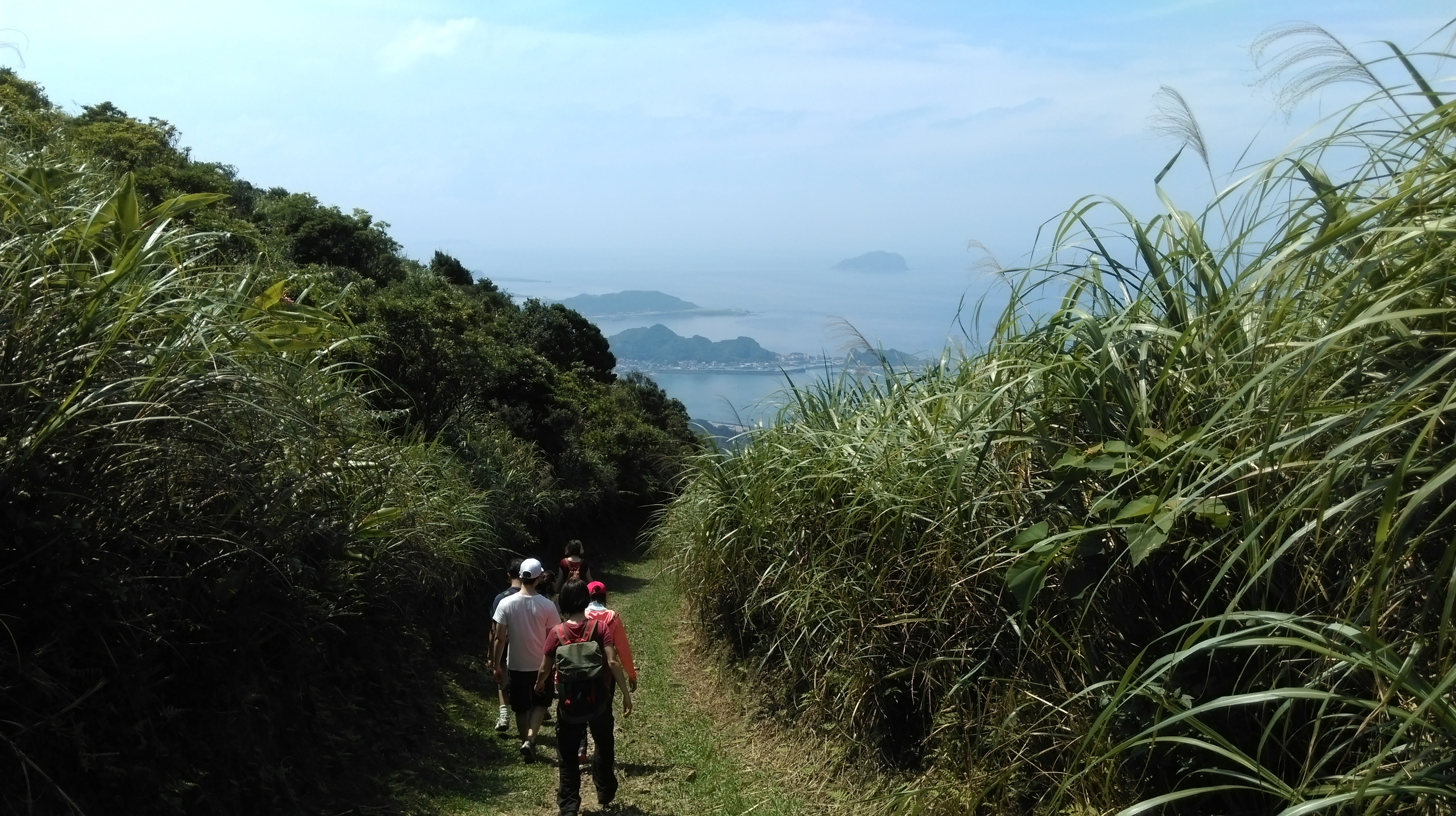
trail along the top of Dacukeng
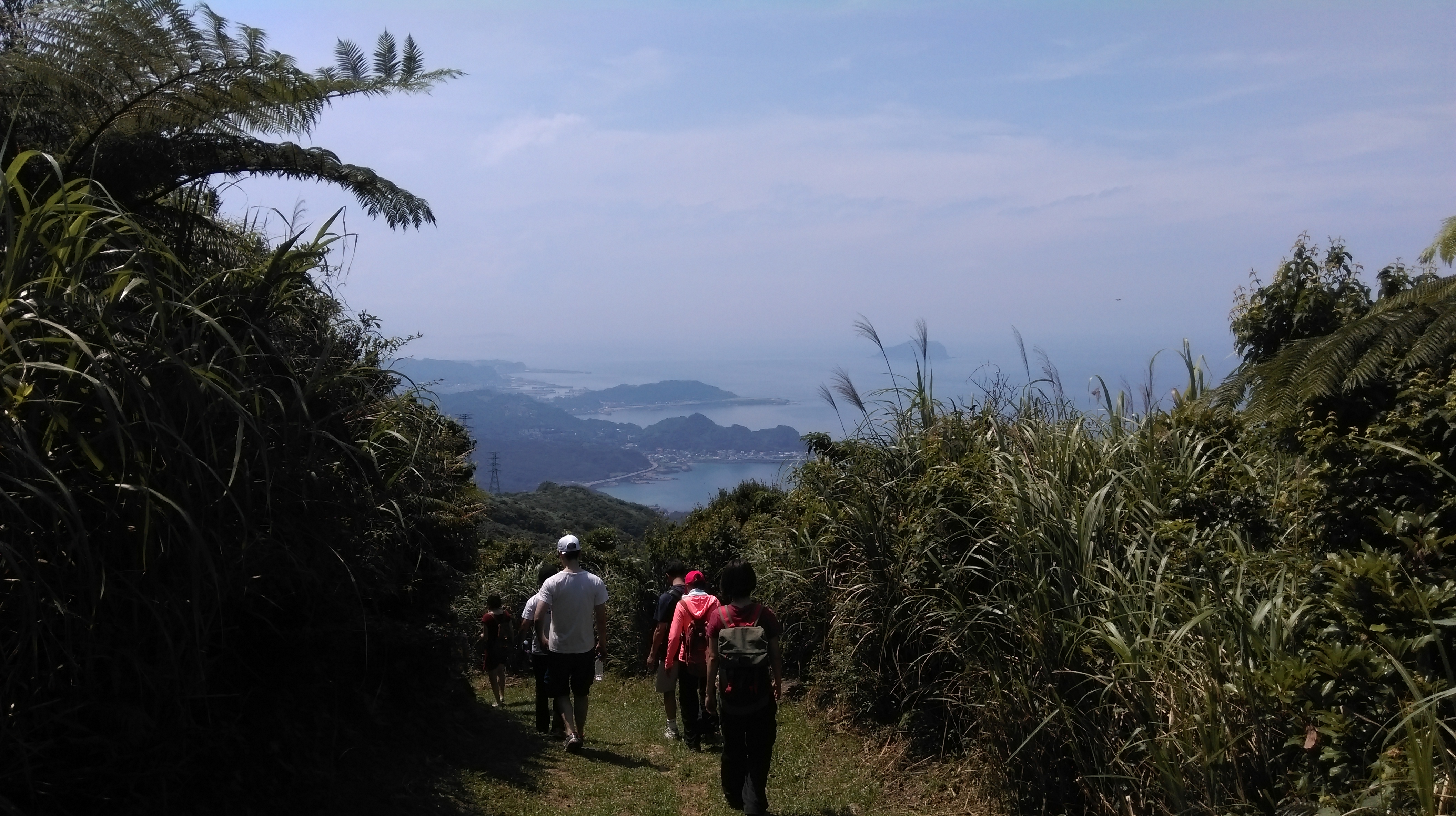
trail along the top of Dacukeng
Keep going straight on the trail until you come to some steps climbing upwards on the left hand side, signposted for Houtong (continuing straight on the trail here leads to Juifen).
turn left here for Houtong
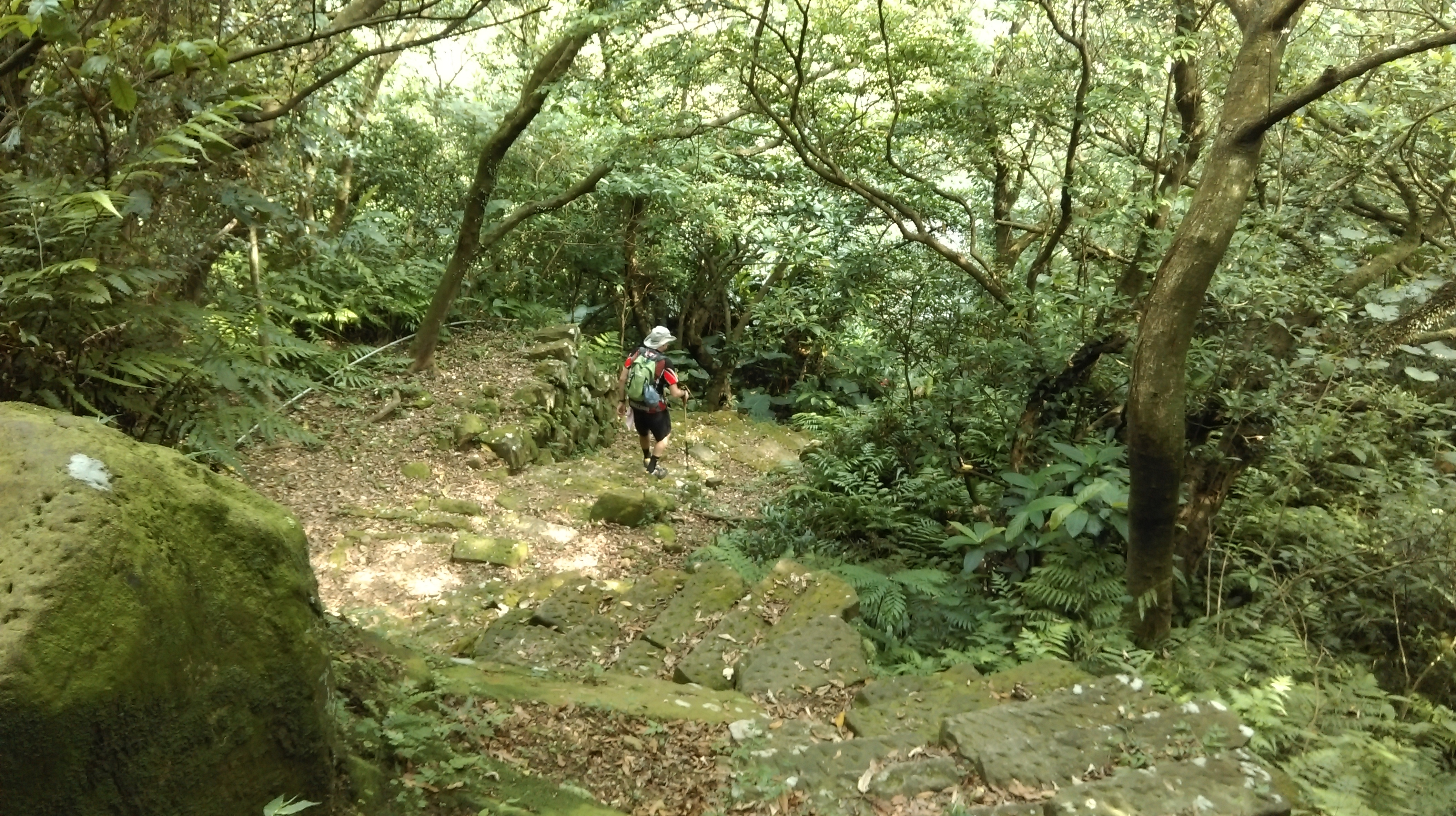
This is the Siaocukeng Anciect Footpath. From the trail junction steps climb upward for a short distance to regain the top of the ridge. As soon as the trail goes down the other side the scenery and vegetation change immediately. The trail enters the trees and a dirt trail leads downwards to a Land God shrine. Along the path you’ll notice some old mining ventilation shafts.
Siaocukeng Trail

Land God shrine
The trail makes a sharp turn to the right at the shrine and goes speeply downwards. The trail used to make of stone steps here, but these have mostly crumbled away now.
going down from the Land God shrine
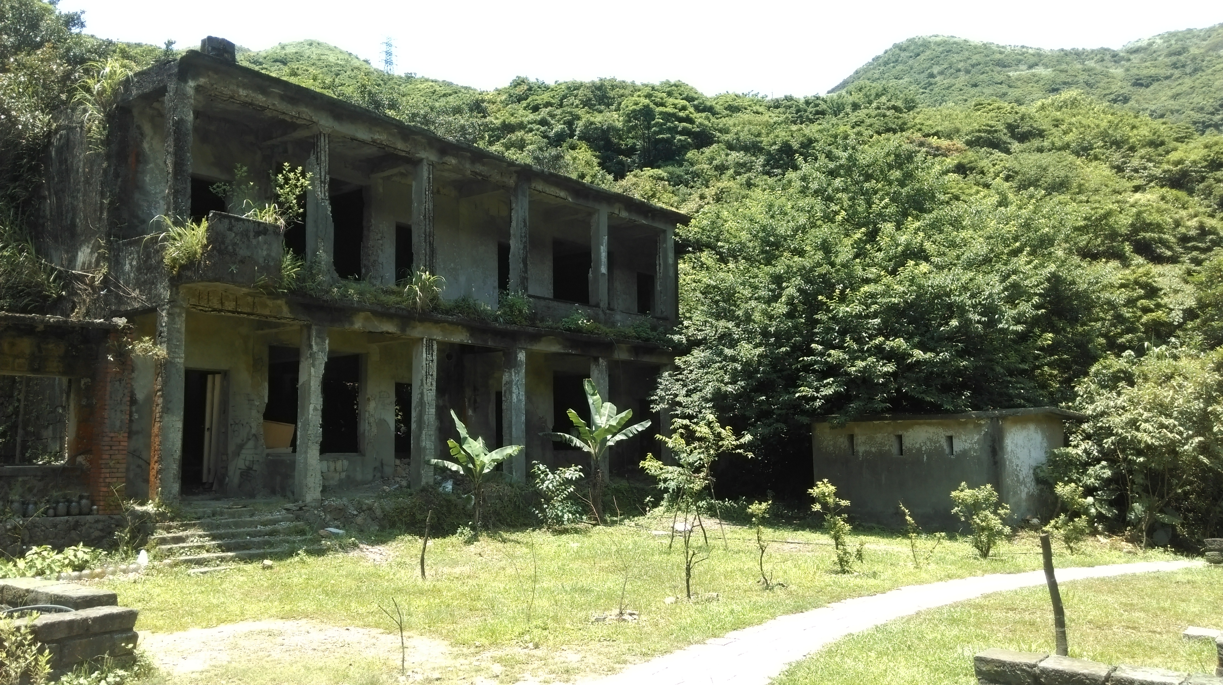
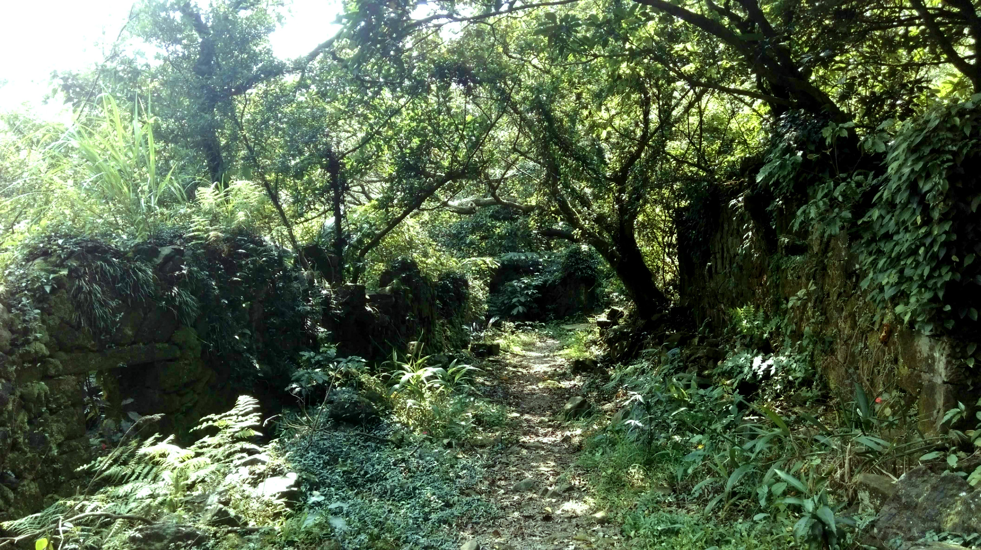
Continuing downwards the trail starts to pass some ruined houses as it enters the Siaocukeng village site. This was another gold mining town of about several hundred people.

trail passing ruins of Siaocukeng town
The trail passes a locked temple gate then comes to a junction. To the left of the junction is a still maintained and partially occupied house. The owners are originally from Siaocukeng but have longed sinced moved to Taipei. However, they still sometimes return here on weekends. If they are around they’ll likely invite you in for tea, but they only speak Chinese.
still maintained house
Turning right here (signposted for Cu Keng mountain pass watchtower) leads through more village ruins including the elementary school and to a viewing platform. There are good views of the Keelung River valley from the platform.
town ruins
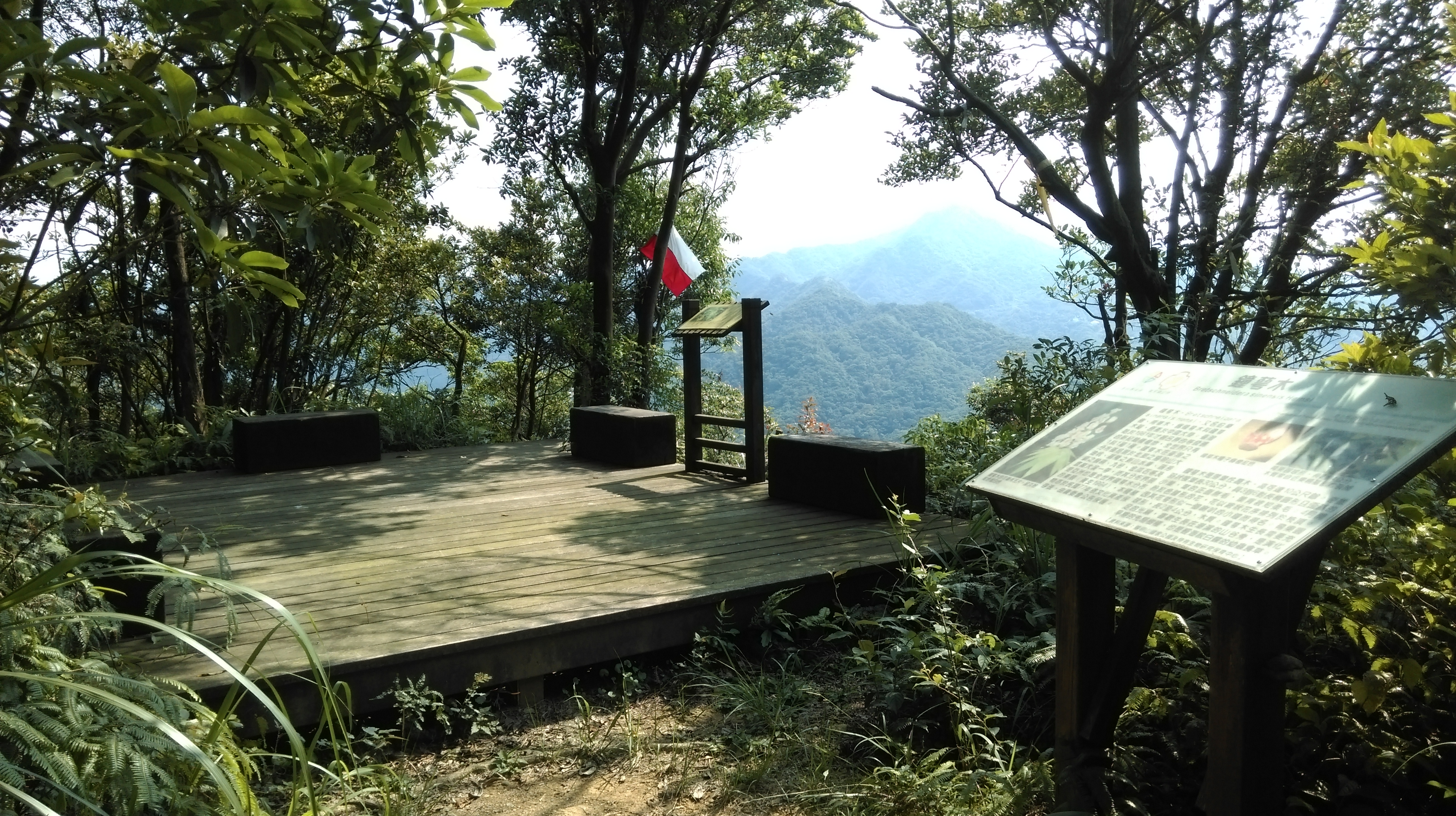
viewing platform
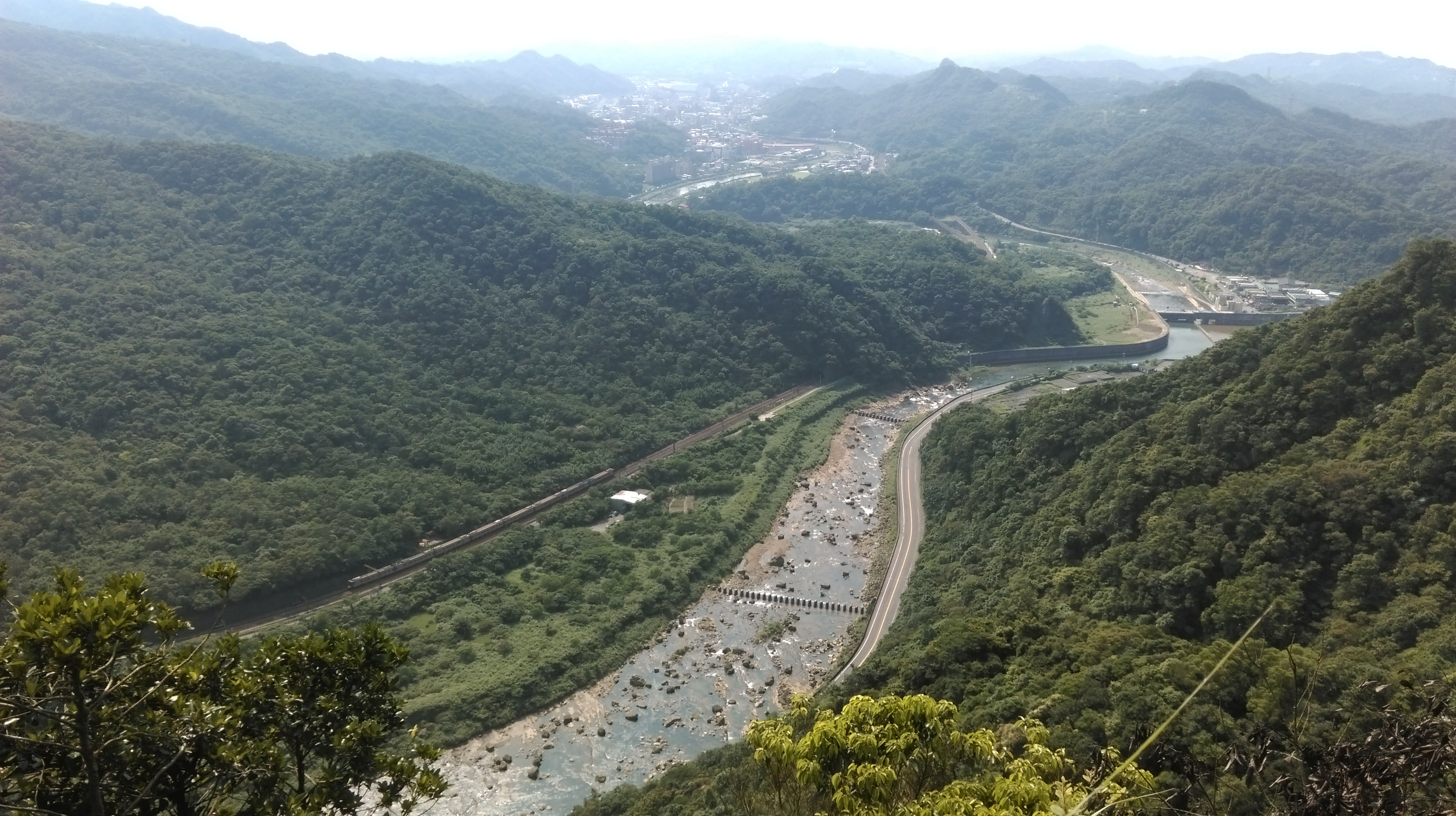
view of the Keelung River
From the junction the trail continues downwards over more crumbled stairs and passing more ruins to eventually reach the stream at the bottom.
trail going down from the town
The trail crosses the stream several times over bridges before ending at the end of a small road. After the first bridge there is a short side trail signposted for another Land God shrine. From the end of the trail follow the road down to the highway, then turn left to go back to Houtong. It is better to walk on the side road rather than the main road next to it.

stream crossing
Map of the Hike
