Maoli/Hsinchu Counties
Access: take the train to Zhunan station then the Nanzhuang tourist shuttle and get off the Lion’s Head Mountain (Shihtoushan) stop. Go out the east side of the station and the bus stop is across from 7-11 on the corner. The bus leaves once an hour, on the half hour. Be careful with the stop as people rarely get off at this stop, let the driver know where you want to get off and watch for the announcements which are given in English.
Length: 7km
Difficulty Level: 1/5
Trail Conditions: stone, paved, and dirt trails; with steep steps
The Hike
This hike starts from the backside of the side mountain and goes over to the other side. The mountain is fairly popular, but almost everyone hikes up the Shihshan Historic Trail starting from the Lion’s Head Mountain Visitor’s Center, where this hike ends. However, the Shihshan Historic Trail is not actually a trail at all but a road, and is not very interesting. This guide will take you along some nice actual hiking trails through the area.
There is nothing at the bus stop except for a row of abandoned shops and a large sign that you can pose for pictures in front of. The start of the hike is easy to spot. Look for stairs going up under a gate across the street from the bus stop.
The trail starts as stone stairs but soon levels out and becomes a mainly flat stone trail near a small stream. The trail then crosses a road and on the other side is a short but steep set of stairs leading up to Quanhua Temple. When the stairs come to another road the temple is visible on your right.
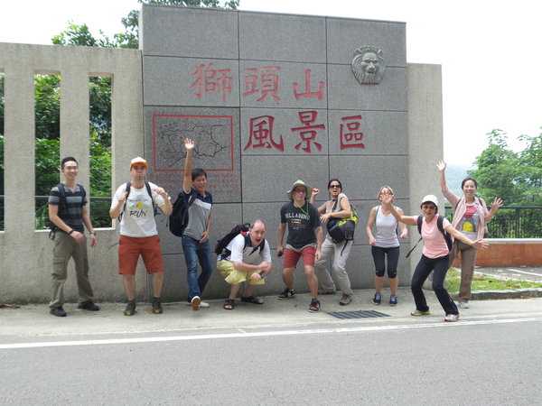 striking up ridiculous poses at the bus stop at the trail entrance |
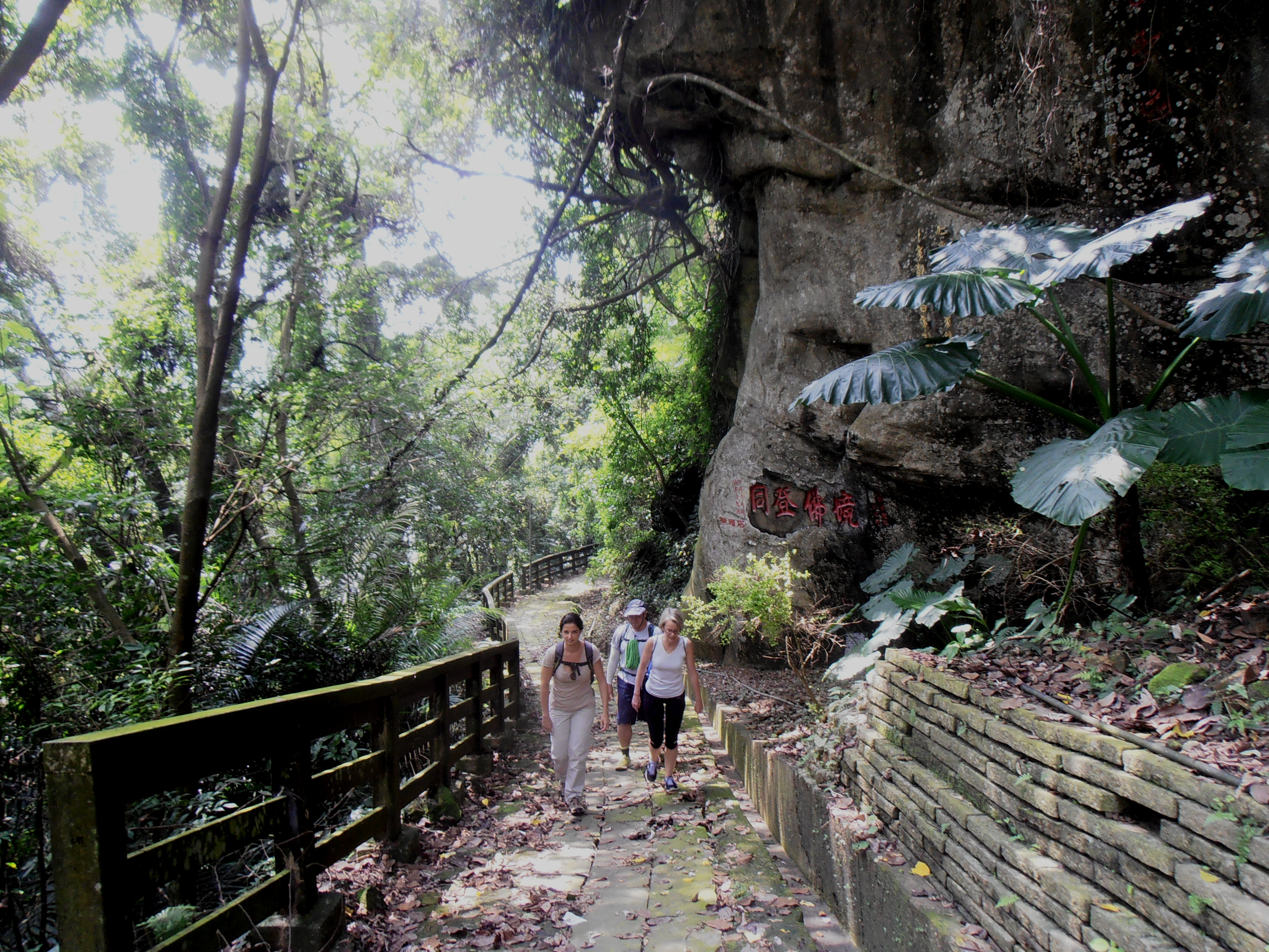 hiking up to Quanhua Temple |
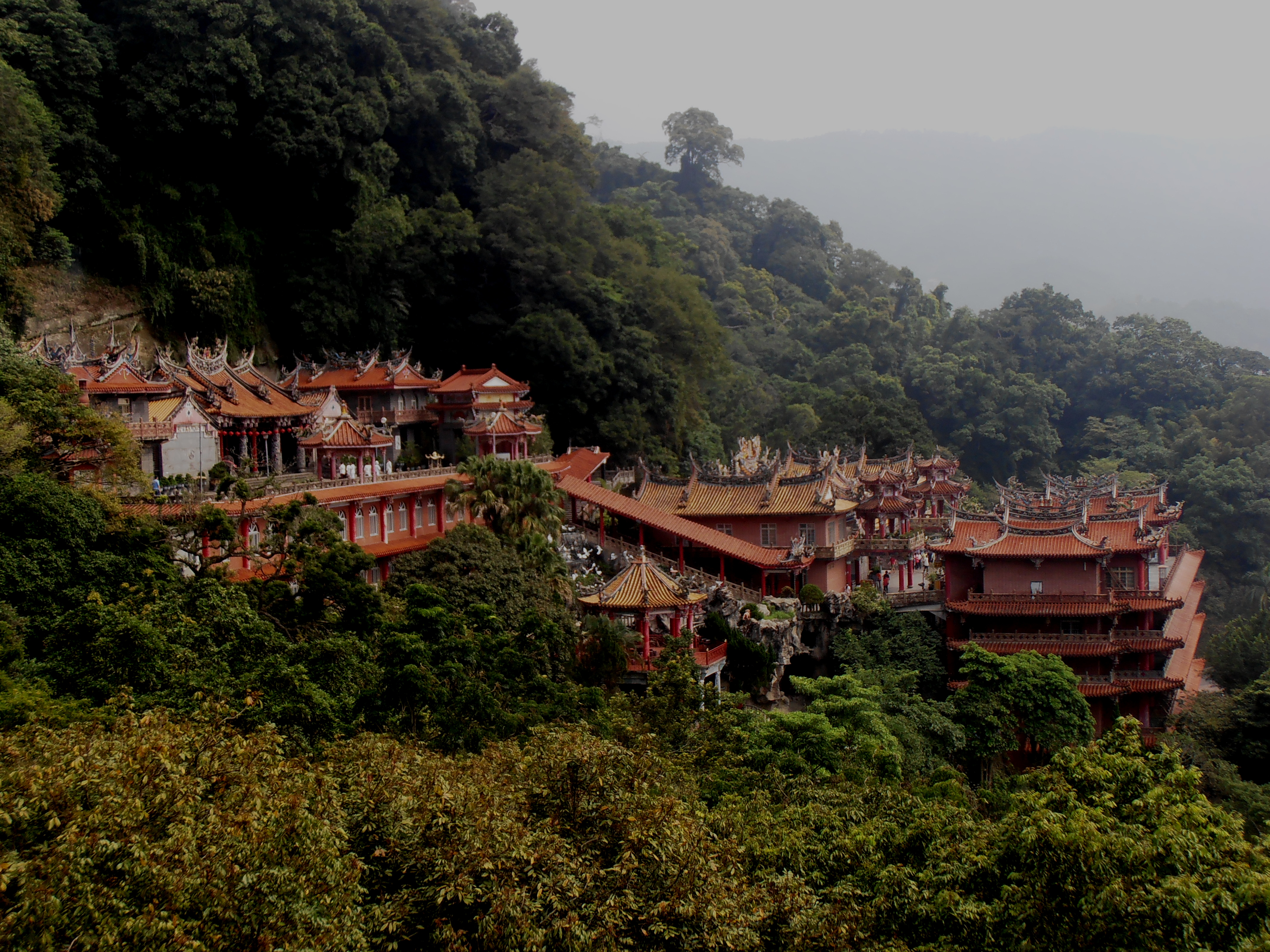
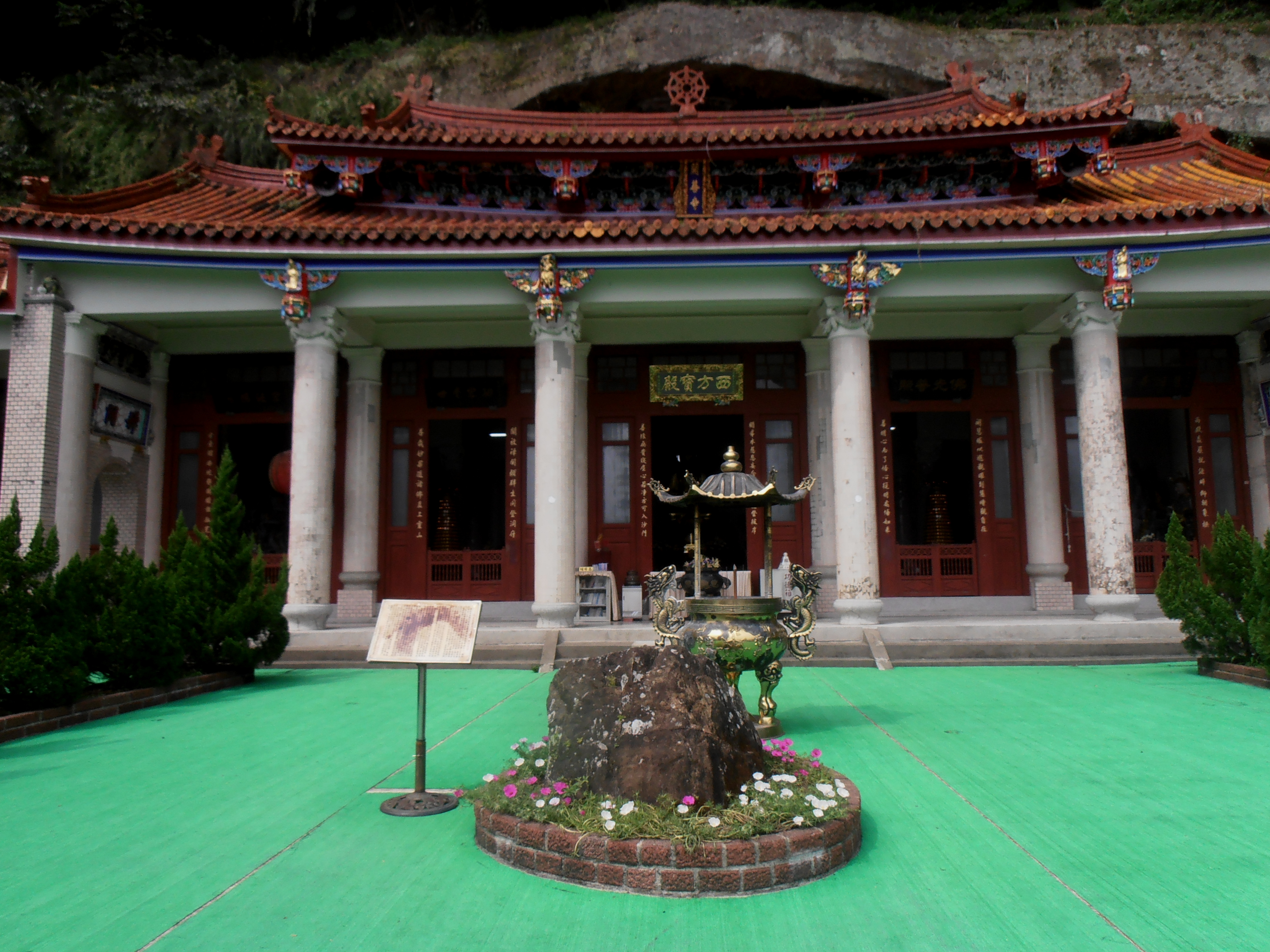
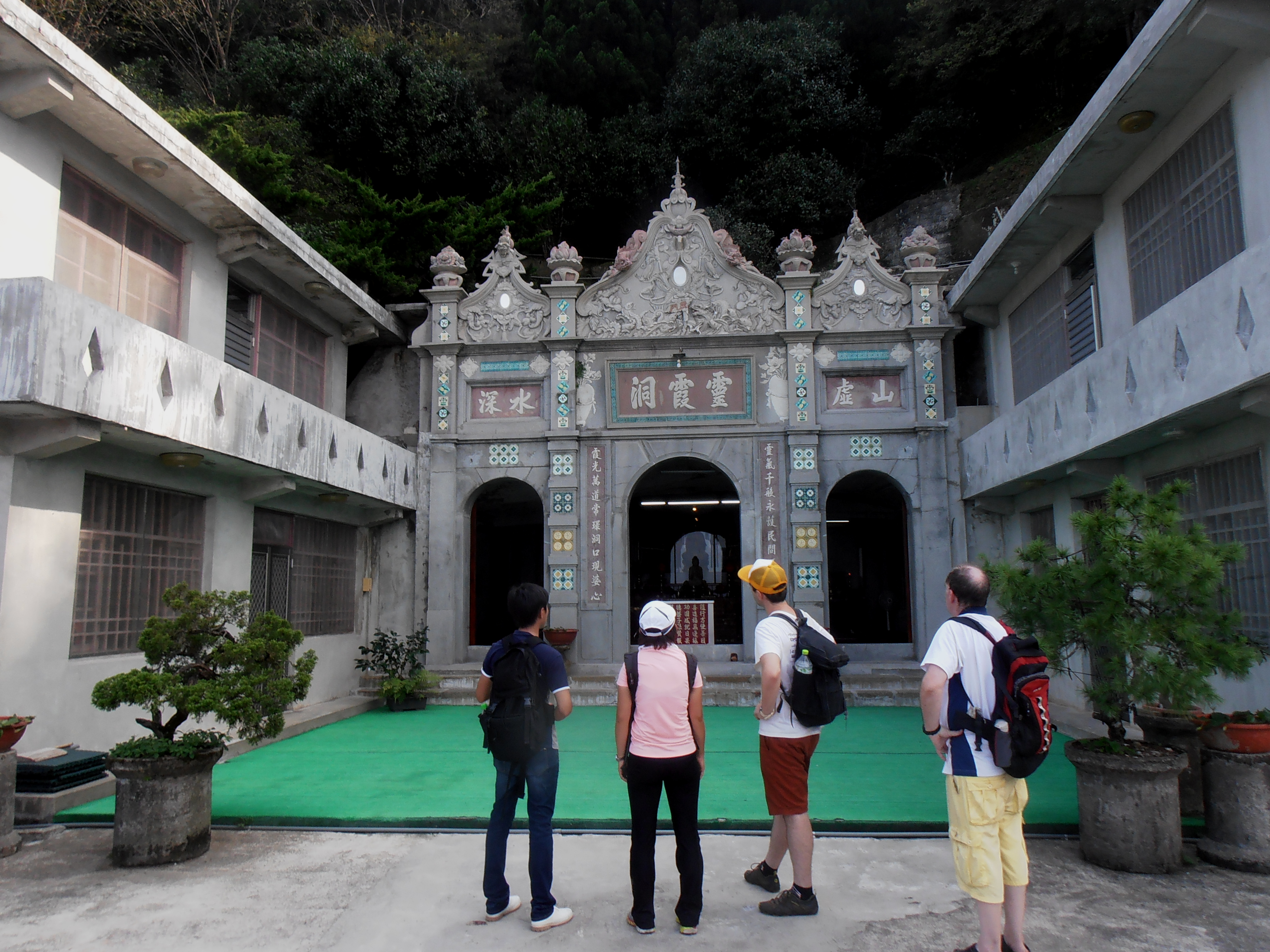
Turn right on the road then climb up through the Lord of the Rings like artificial cave to reach Qianhua temple, which is the largest temple and main site on the trail. There is a shop selling snacks and drinks here. Take the stairs next to the artificial waterfall up to the next level, cross the terrace in front of the temple, and a trail leads out to continue up the mountain. You’ll soon come to a fork where you have a choice of which route to take. Both trails rejoin at the Shihshan Rock Face.
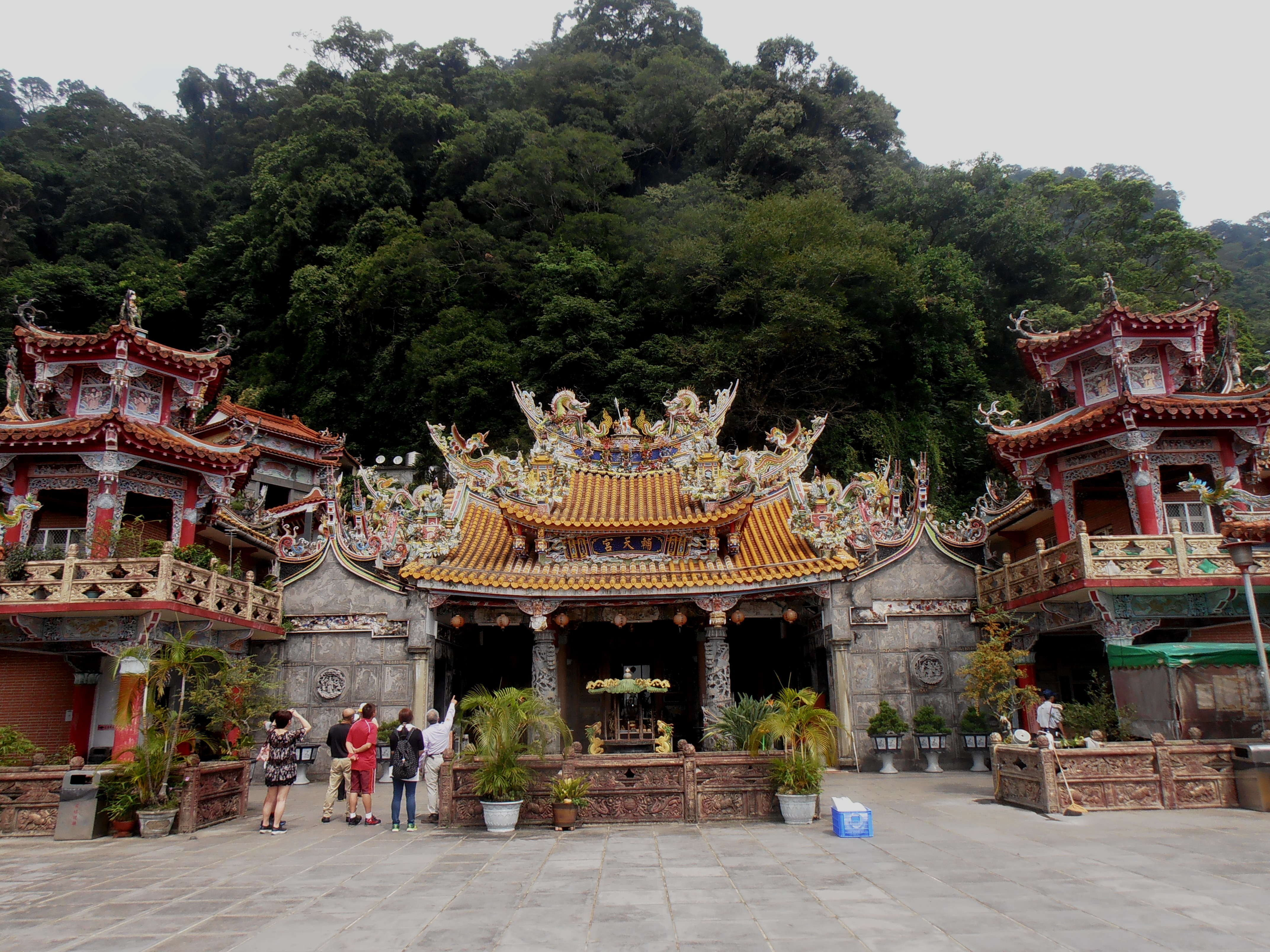 Quanhua Temple |
 Quanhua Temple |
The right fork is a trail of very slippery stone steps that lead up to the top of the mountain. The left fork leads past a few more small temples. The first temple (Shell Temple) offers very good views of Qianhua Temple and is a good place for photography. The trail then climbs up to a cave temple (Kaishan Temple) which supposedly has a large meteorite in front of it, though I am rather skeptical. It looks like any other rock to me. The trail keeps climbing up past small shrines and a rest stop. From here a set of steep concrete steps leads to the top. The trail then becomes a narrow dirt trail before rejoining the main trail in front of the Shihshan Rock Face. From the rock face a long and steep set of stone steps leads to the top. There is a small shop at the top selling drinks and a rest shelter.
 Kaishan Temple with its supposed meteorite |
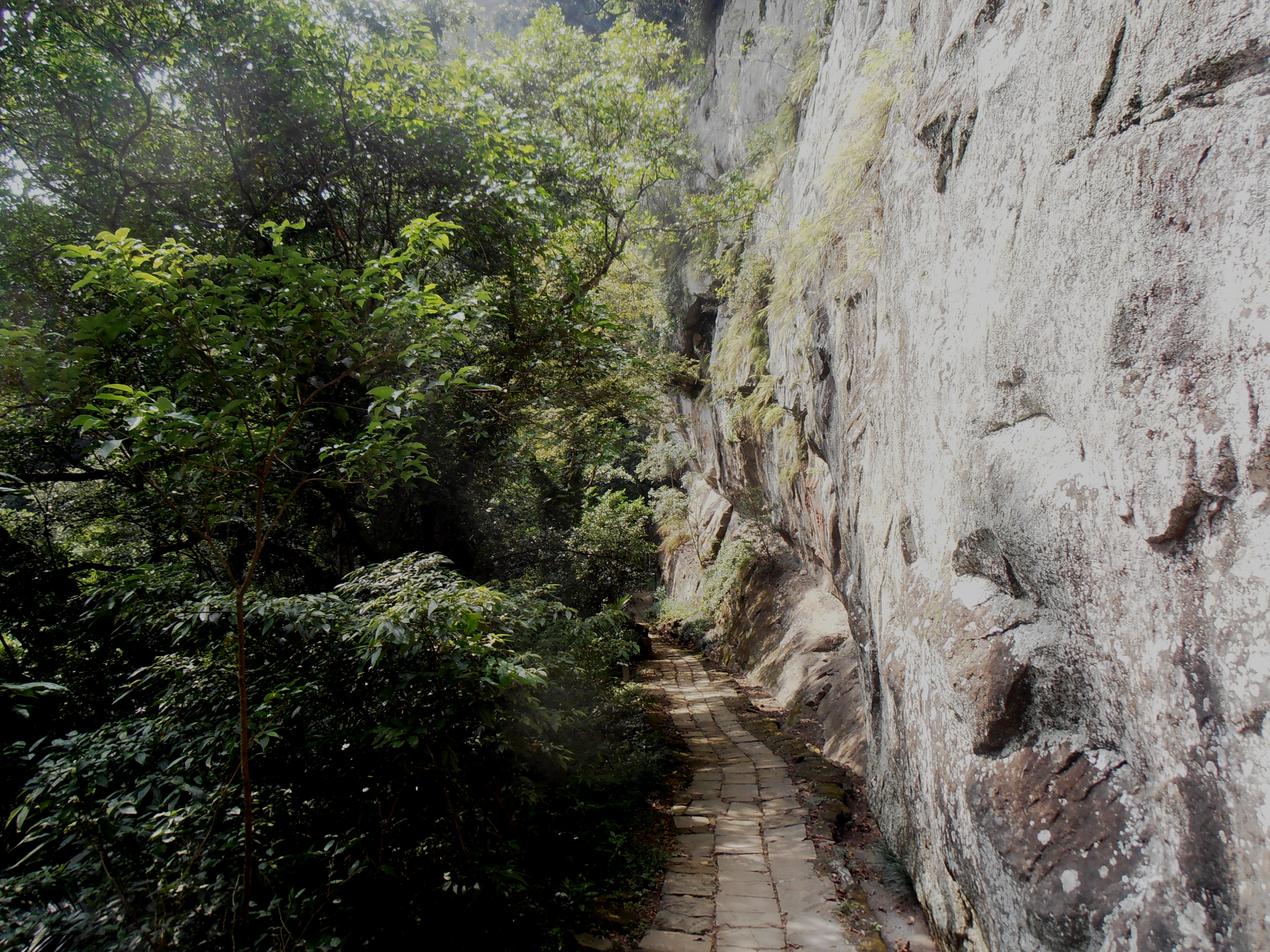 Shihshan Rock Face |
The main trail (Shihshan Historic Trail) down to the bottom is just a road all the way. From the peak and snack stand, walk down past a small parking lot to a temple up ahead. Walk across the large terrace in front of the temple and down a ramp on the other side to the road. Just keep following the road down past a few more temples, the most interesting being the Lingsia Cave. Further down the road passes a rest shelter (Second Cising Pavilion), then another rest shelter (Cising Pavilion) in another hundred meters.
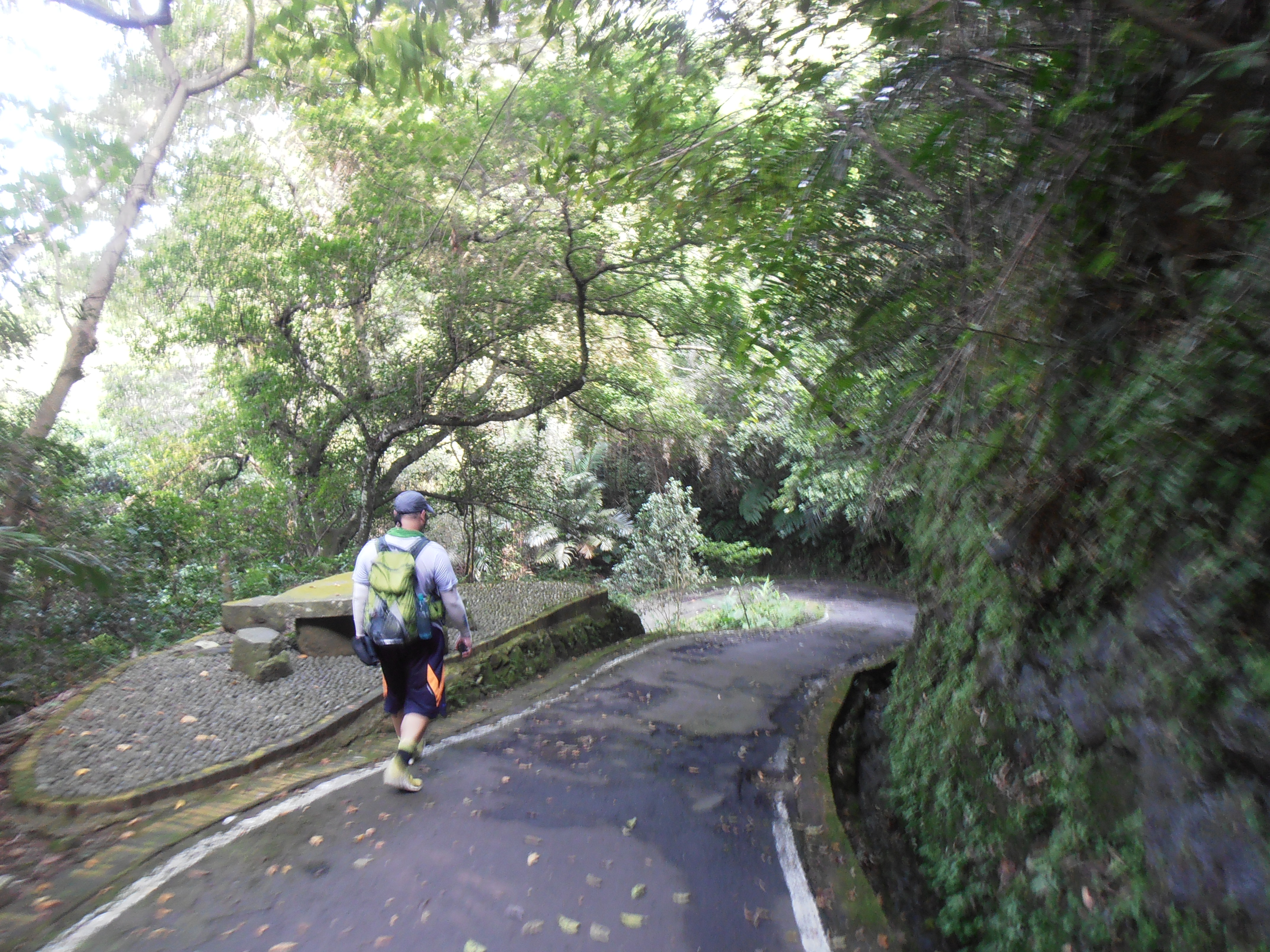 hiking on the Shihshan Historic Trail |
 Shihshan Historic Trail |
 Lingsia Temple |
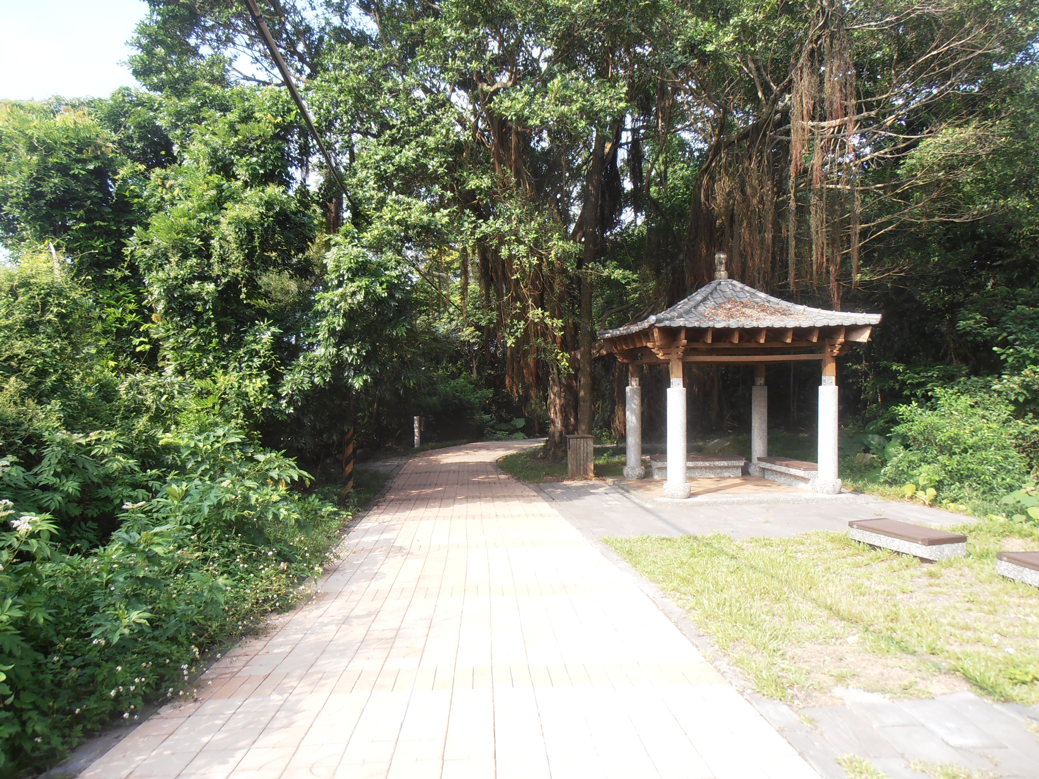
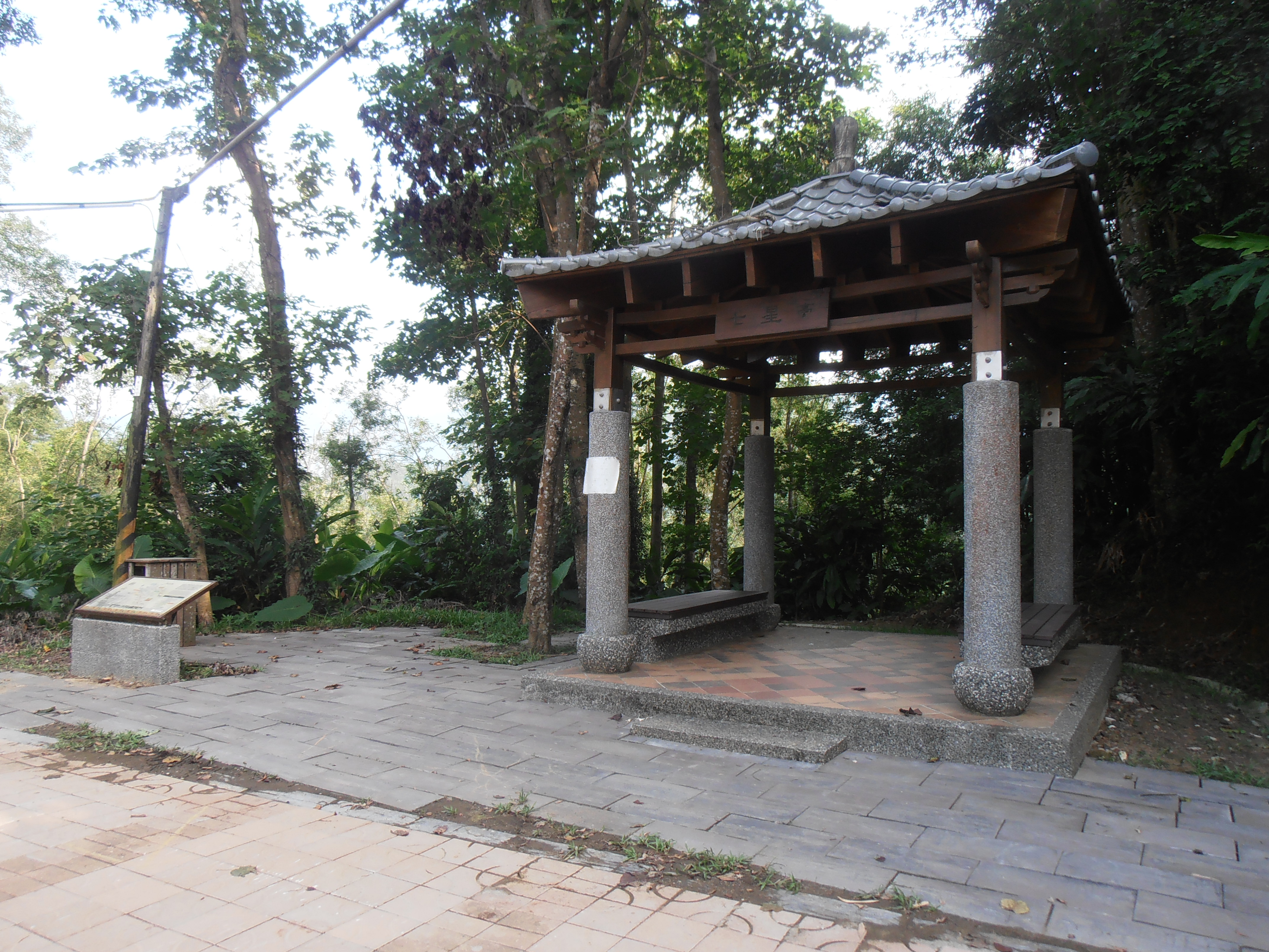 Cising Pavilion and the start of the Liouliao Trail |
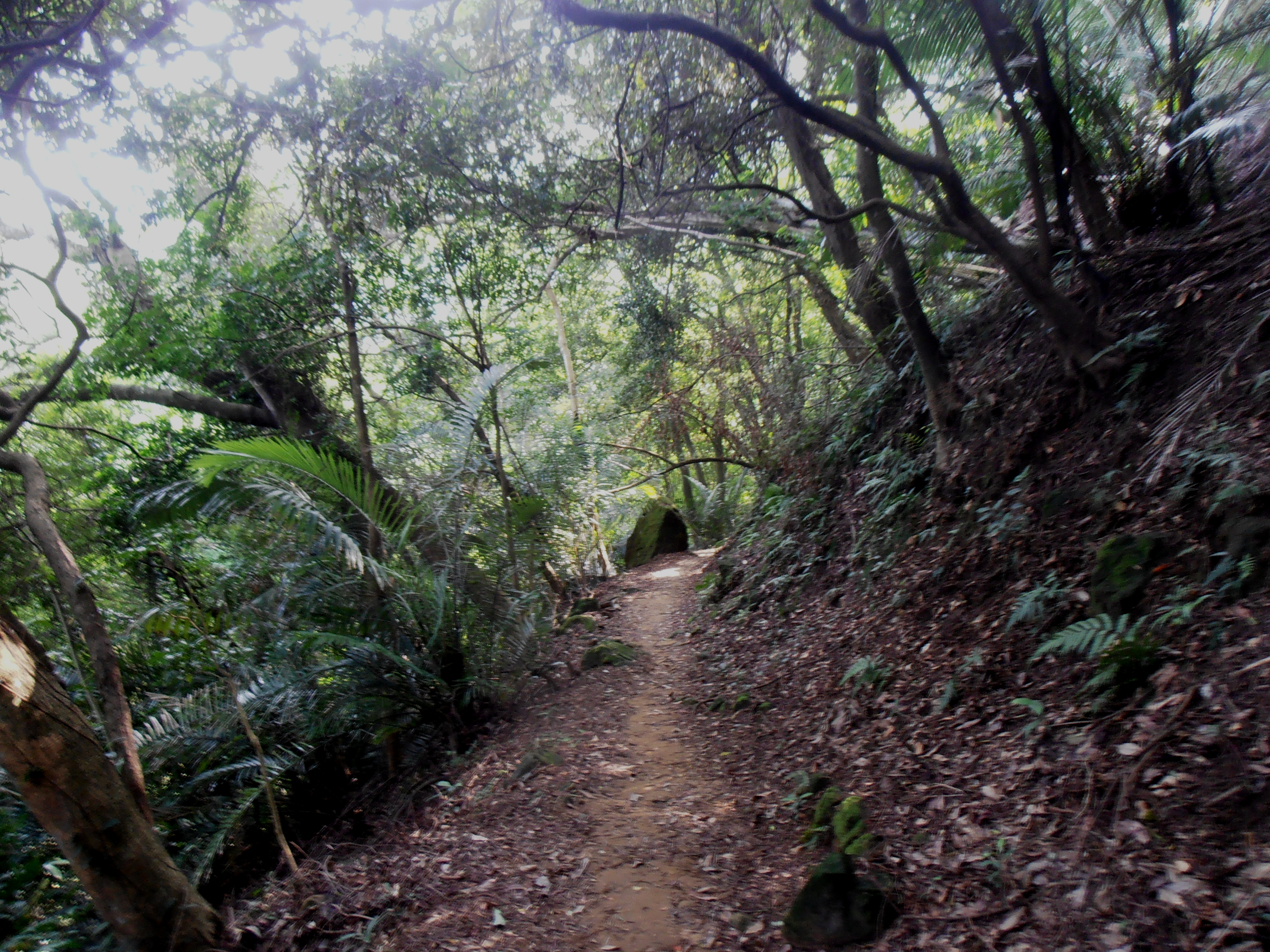
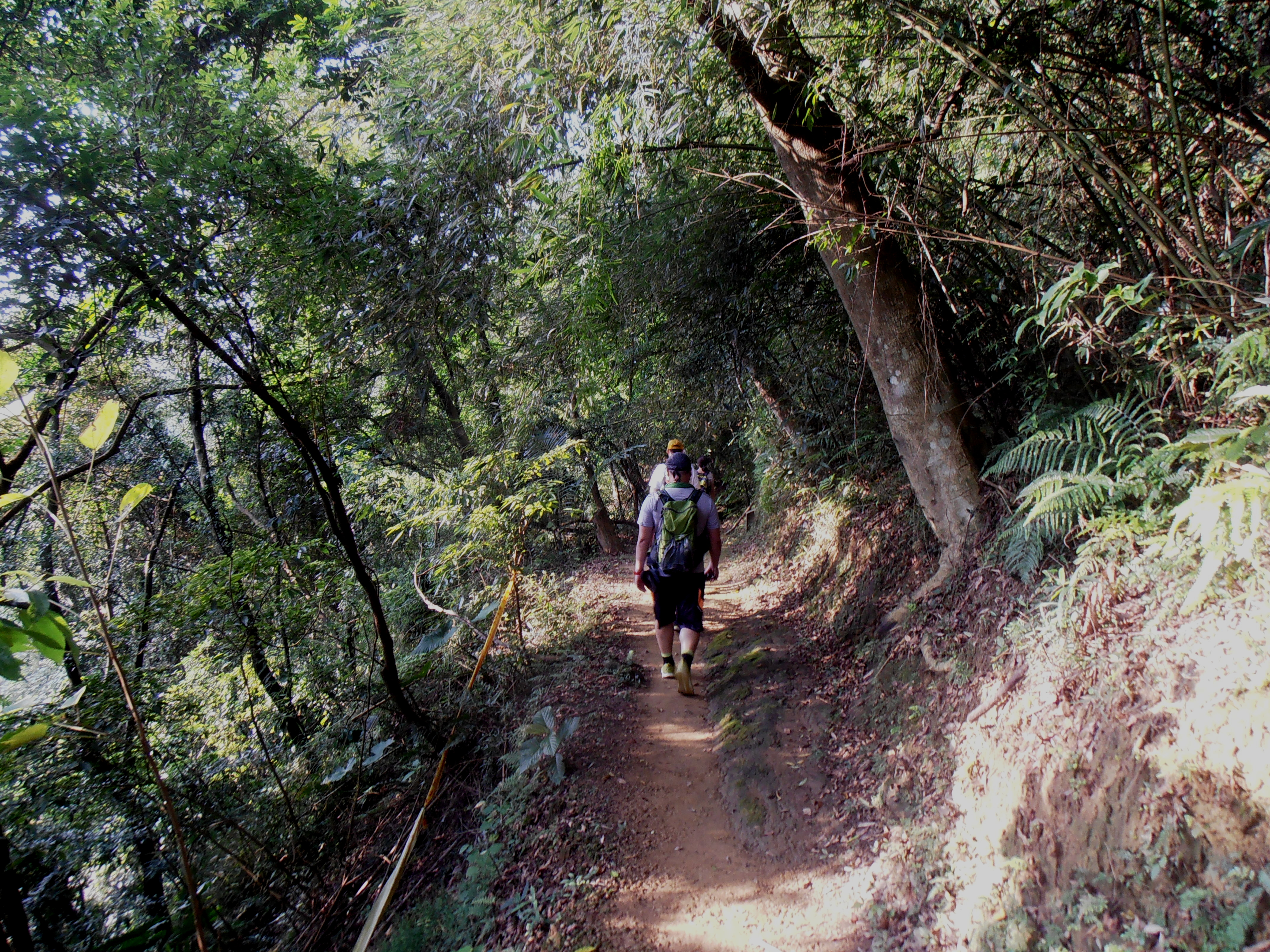
The Liouliao Trail starts at the Cising Pavilion. Now you can get back to doing some real hiking and get off the road for a while. The Liouliao Trail starts as a dirt trail that contours the hillside. The trail goes through thick forest cover and crosses a stream along the way before reaching another road. Turn left here (signposted for Tourist Information Center) and follow the road down past some houses until you come to a fork. This fork is easy to miss, look out for a small red brick across from it and other sign pointing the way to the information center. The Cising Sacred Tree is just around the fork. A boardwalk passes the Cising Sacred Tree. Follow the steps down from behind the tree, across a stream, and back to the road. From here continue to walk along the road until you reach the Tenping Trail on the right hand side.
 Liouliao Trail |
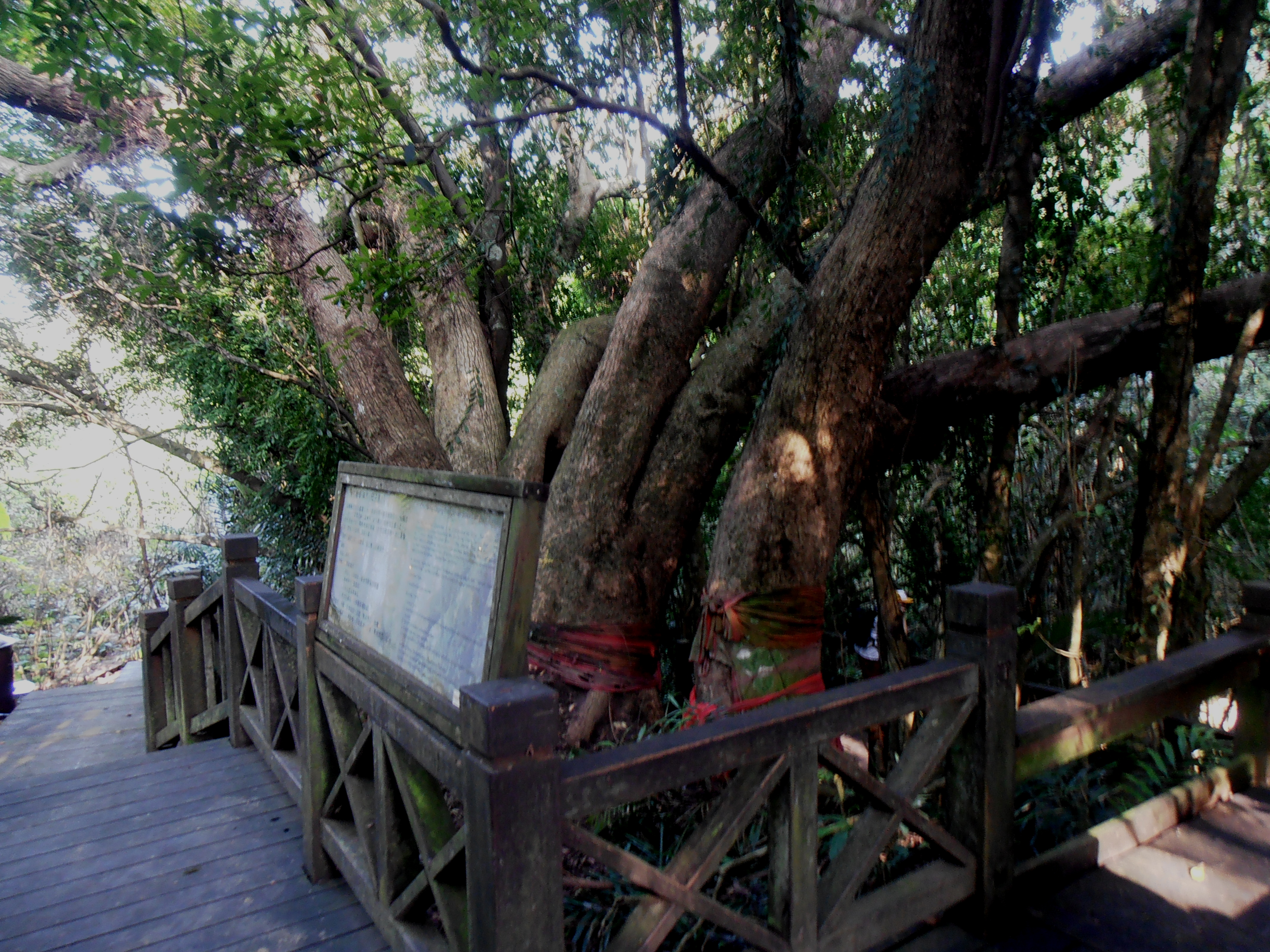 Cising Sacred Tree |
The Tengping Trail starts as moderately steep stone steps which lead up at the Tengping Rock Face. A wooden bridge crosses in front of the rock face, then steep wooden steps on the other side lead to the highest point of the trail. From here the trail turns to dirt for most of the way until more steps lead steeply down the the Visitor’s Center at the end.
 bridge in front of the Tengping Rock Face |
 Tengping Trail |
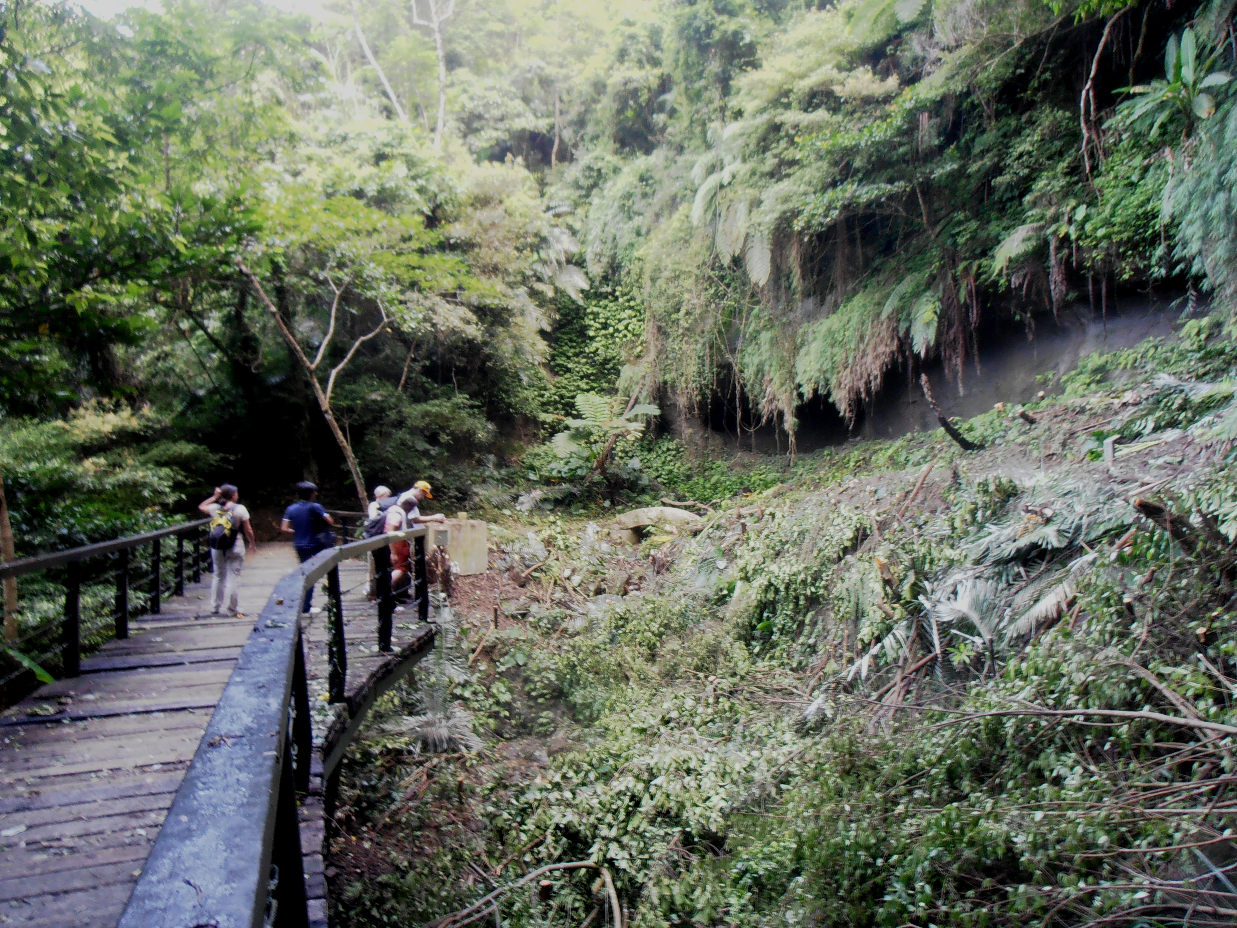
There a couple of other short trails near the visitor’s center that lead down to a river gorge. From the center turn right and walk along the highway past a house (and likely a black dog on a very short leash) and both trails start on the left just after the house. The Shueilian Cave Trail is a circular trail that is only a few hundred meters long. Stairs lead down to the river at the bottom of the gorge and a cave temple. It would be a very nice spot except the temple at the bottom is really ugly and completes ruins the scenery. Much nicer is the 500m long Shueilian Bridge Trail. Also a circular trail, this leads over two bridges and crosses the river at the narrowest spot in the gorge, where it is only a few feet wide.
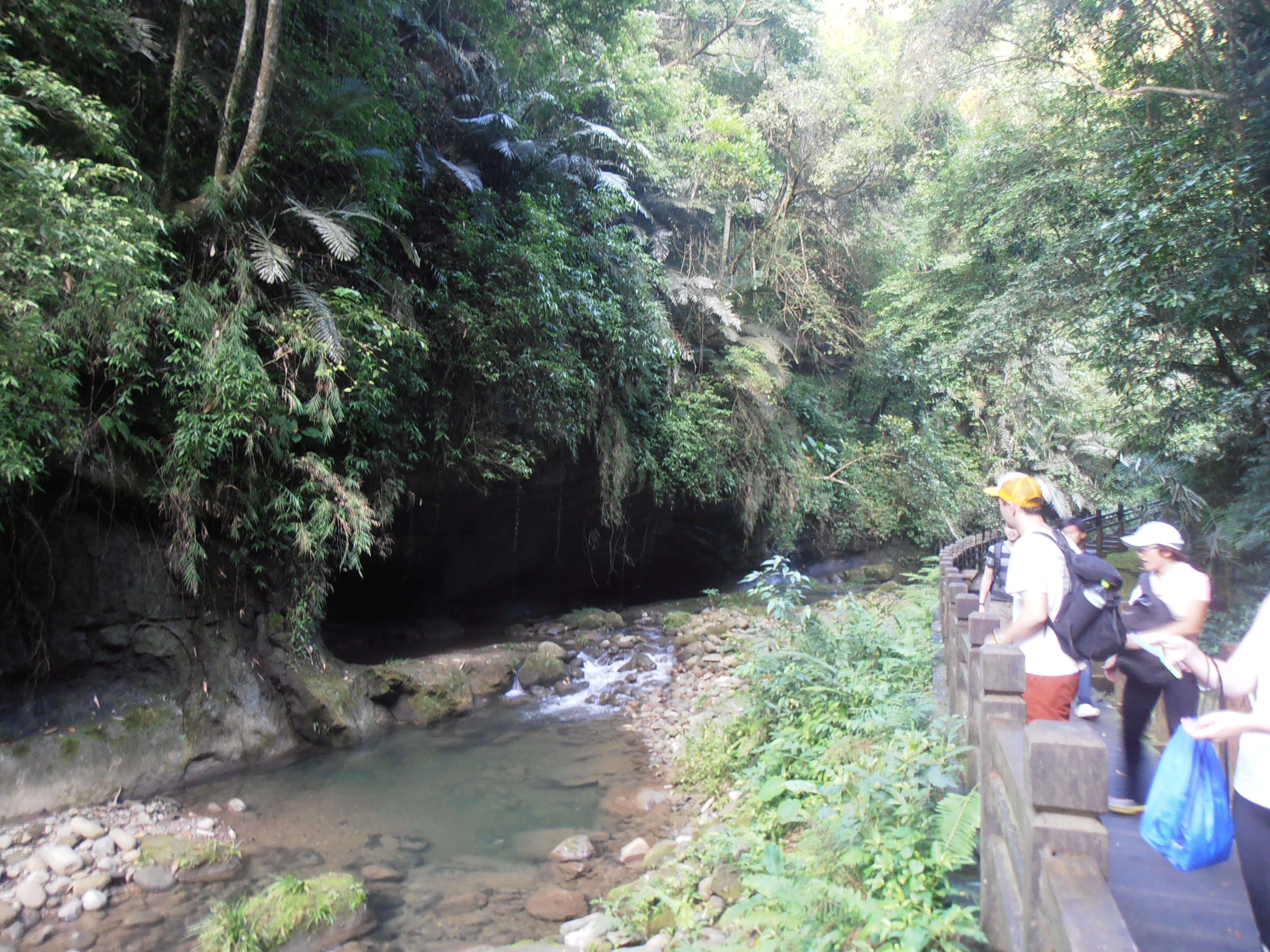 Shueilian Cave Trail |
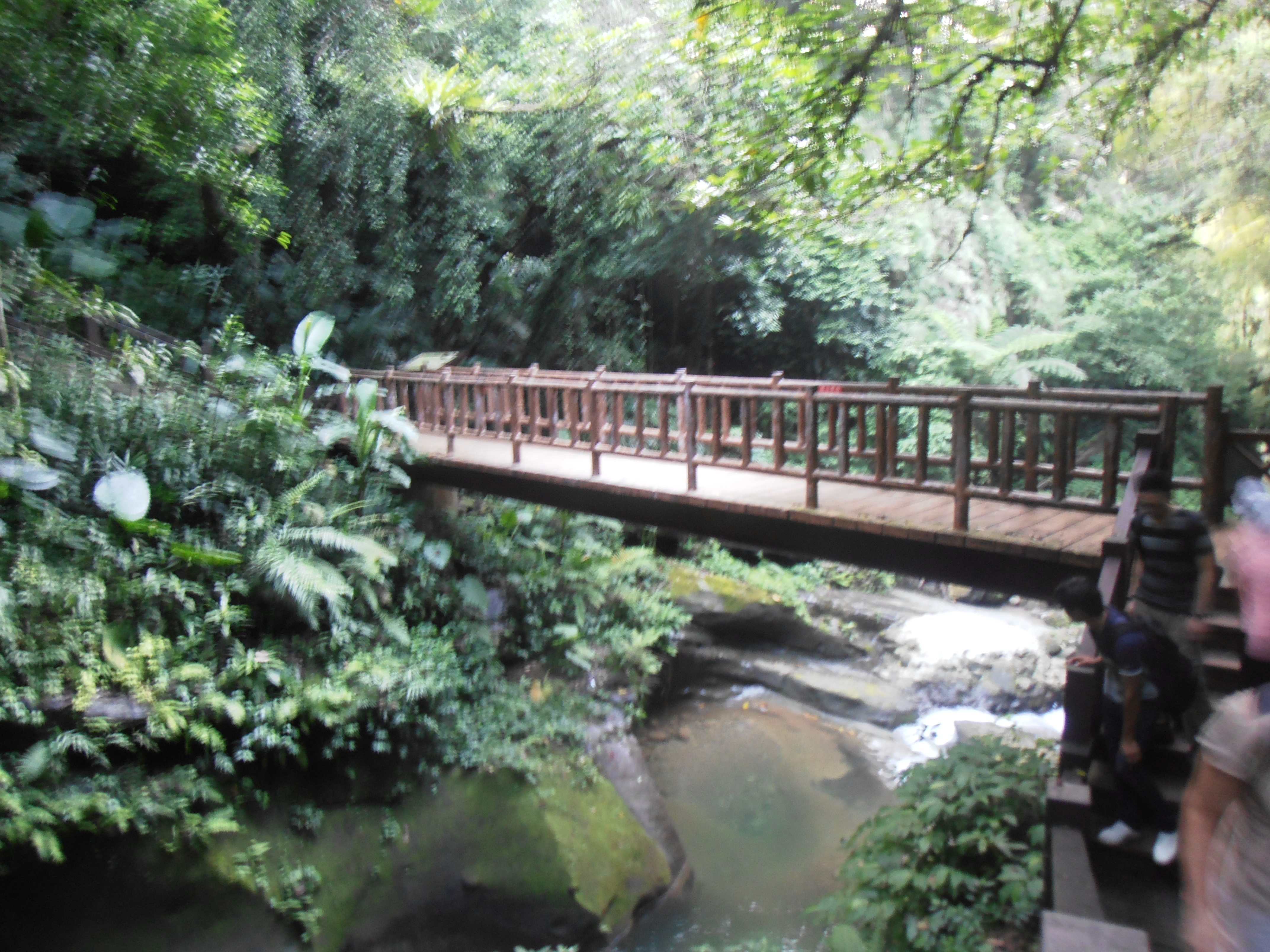 Shueilian Bridge Trail |
The Lion’s Head Mountain Visitor’s Center is rather large with good maps, helpful staff, and a small garden out front. There is also a small tea shop called Xiexin outside the center. There is enough to do around here while you wait for the bus and relax after the hike.
To head back take the Lion’s Head Mountain tourist shuttle bus. The bus stop is located a hundred meters down the highway from the visitor’s center. Buses leave every half hour on weekends and stop at Beipu Old Street and Hsinchu HSR Station (last bus leaves at 6pm).
Map of the Hike
Leave a comment
