cow meadow
Yangmingshan National Park
Highlights: Juansi Waterfall, cow meadow, Mt Zhugao peak
This hike goes to the main attractions in the east side of the park.
Access: take bus Xiao (small) 15 from Jiantan MRT station bound for Qingtiangang and get off the bus stop Jingshan Leisure Area bus stop. Stops are announced in English but the announcements are difficult to hear and there is no display. However, this trail is popular and other people will likely get off the bus here too.
Length: 10km, 4hrs
Difficulty Level: 1/5
Trail Conditions: stone and wide dirt trails
The Hike
This hike is basically divided into three sections.
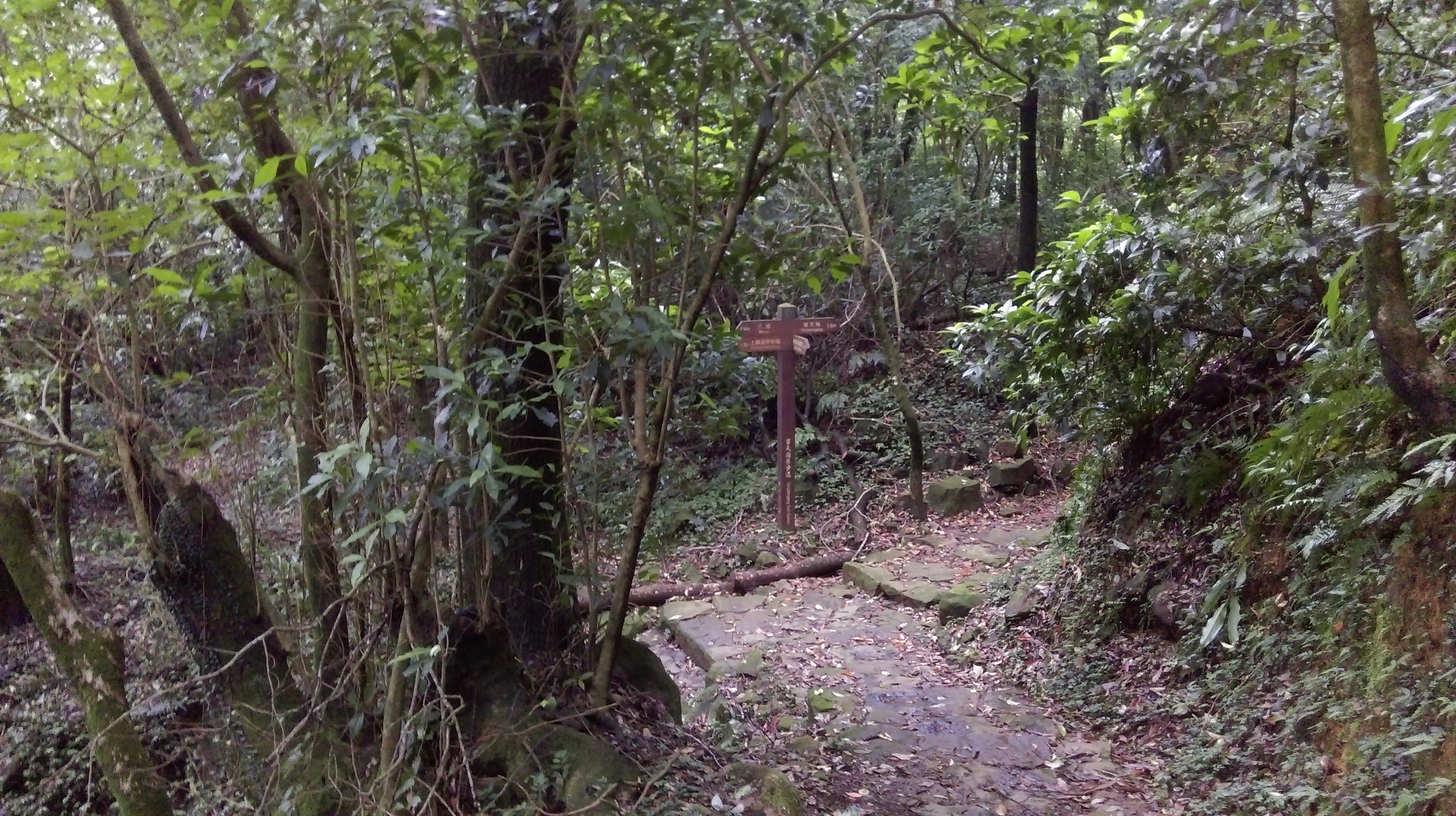
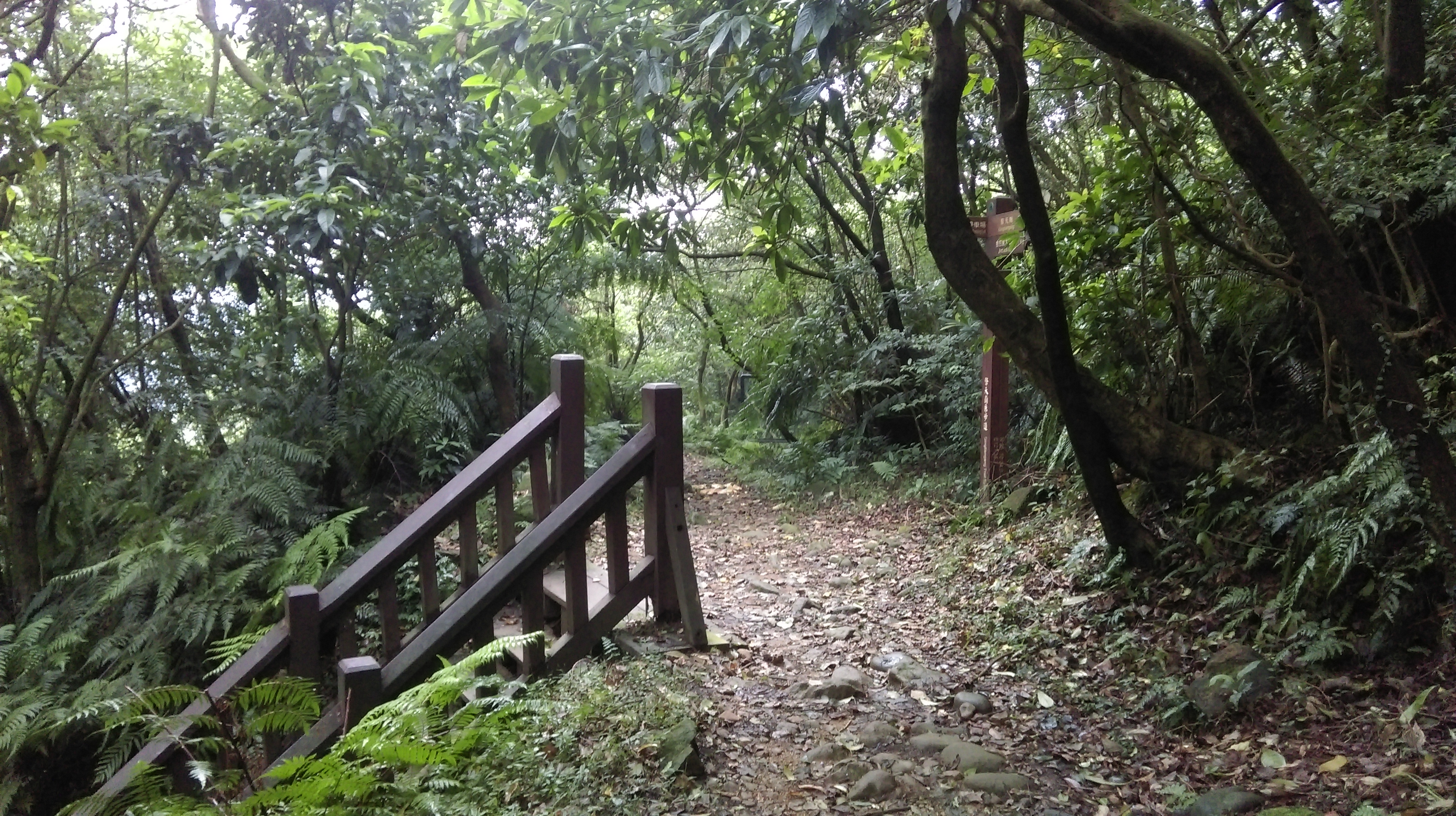
The trail begins just past the intersection from the bus stop and is clearly marked with a sign and trail map.

start of the trail
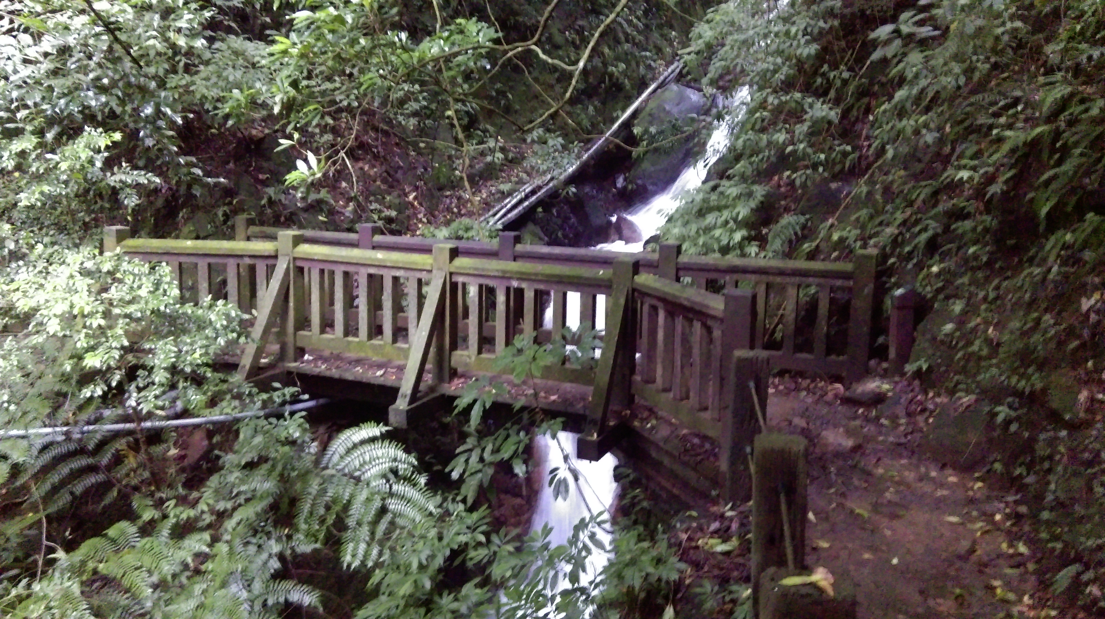
The first leg of the hike follows a stream up a wooded valley and ends at the Qingtiangang car park. It is a lovely but fairly popular hike. There will likely be quite a few other people on it. Along the way the trail passes the Juansi Waterfall.
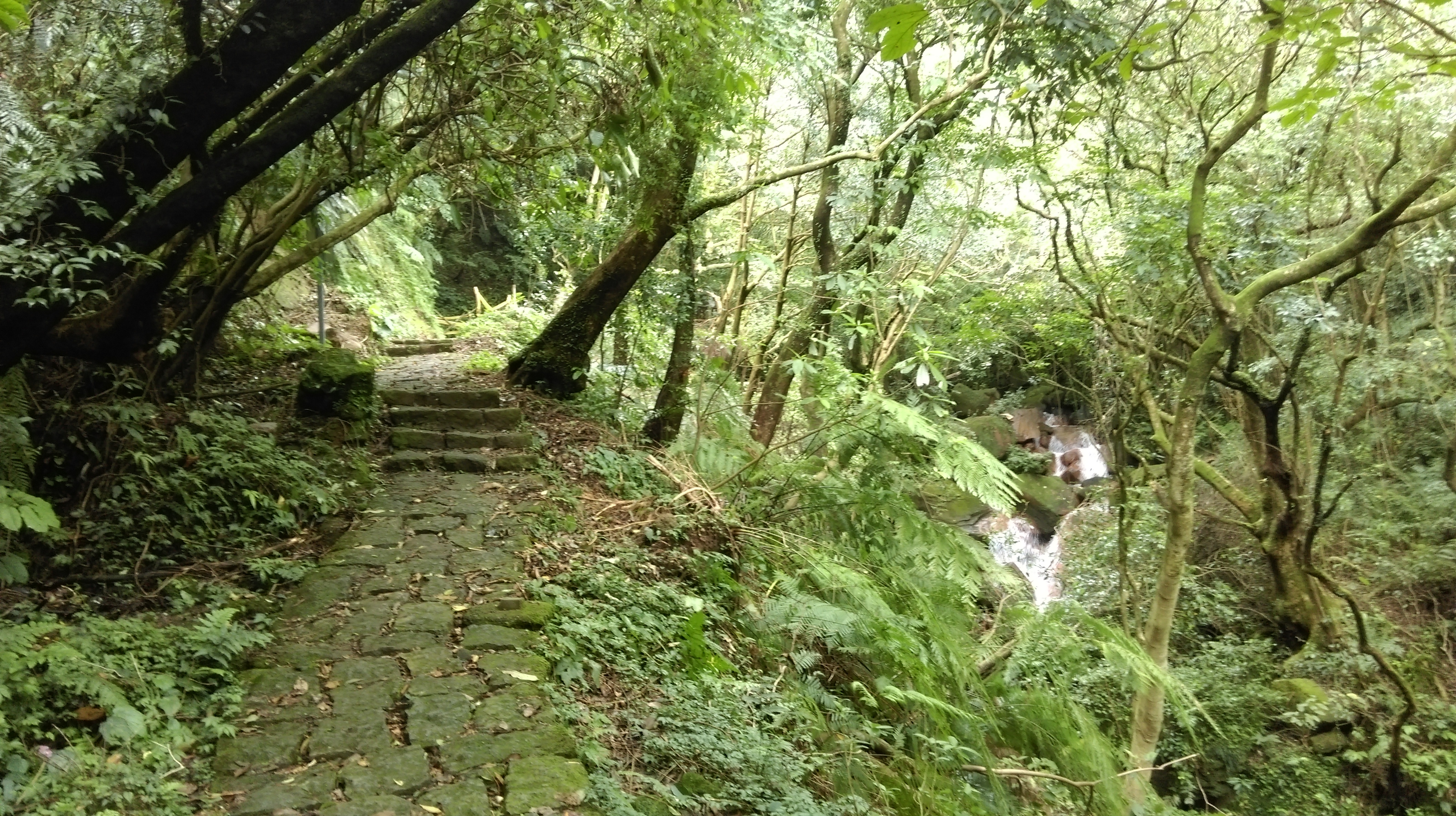
trail to Juansi Waterfall
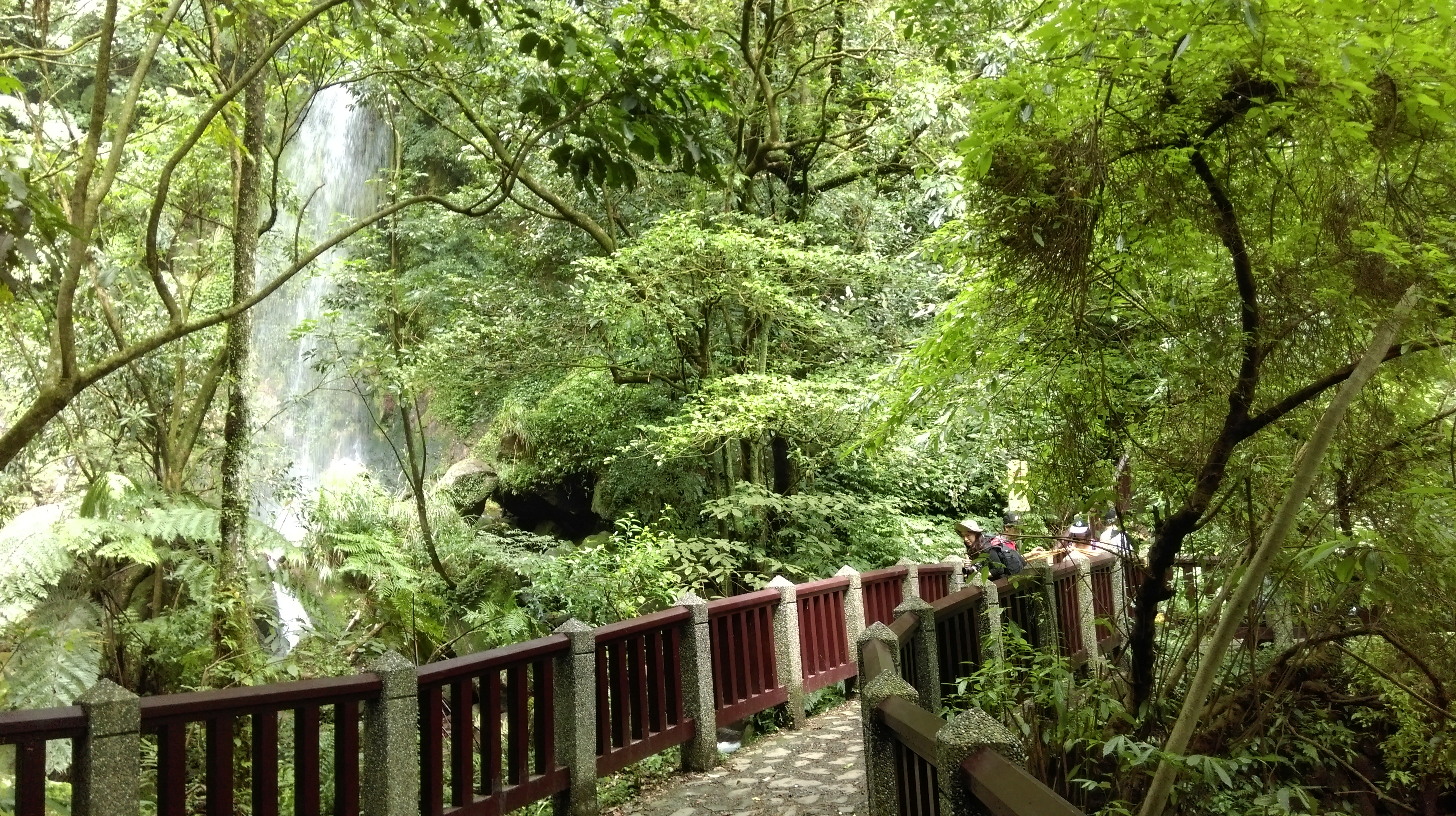
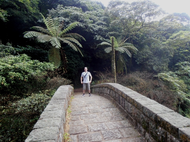
bridge crossing in front of Juansi Waterfall
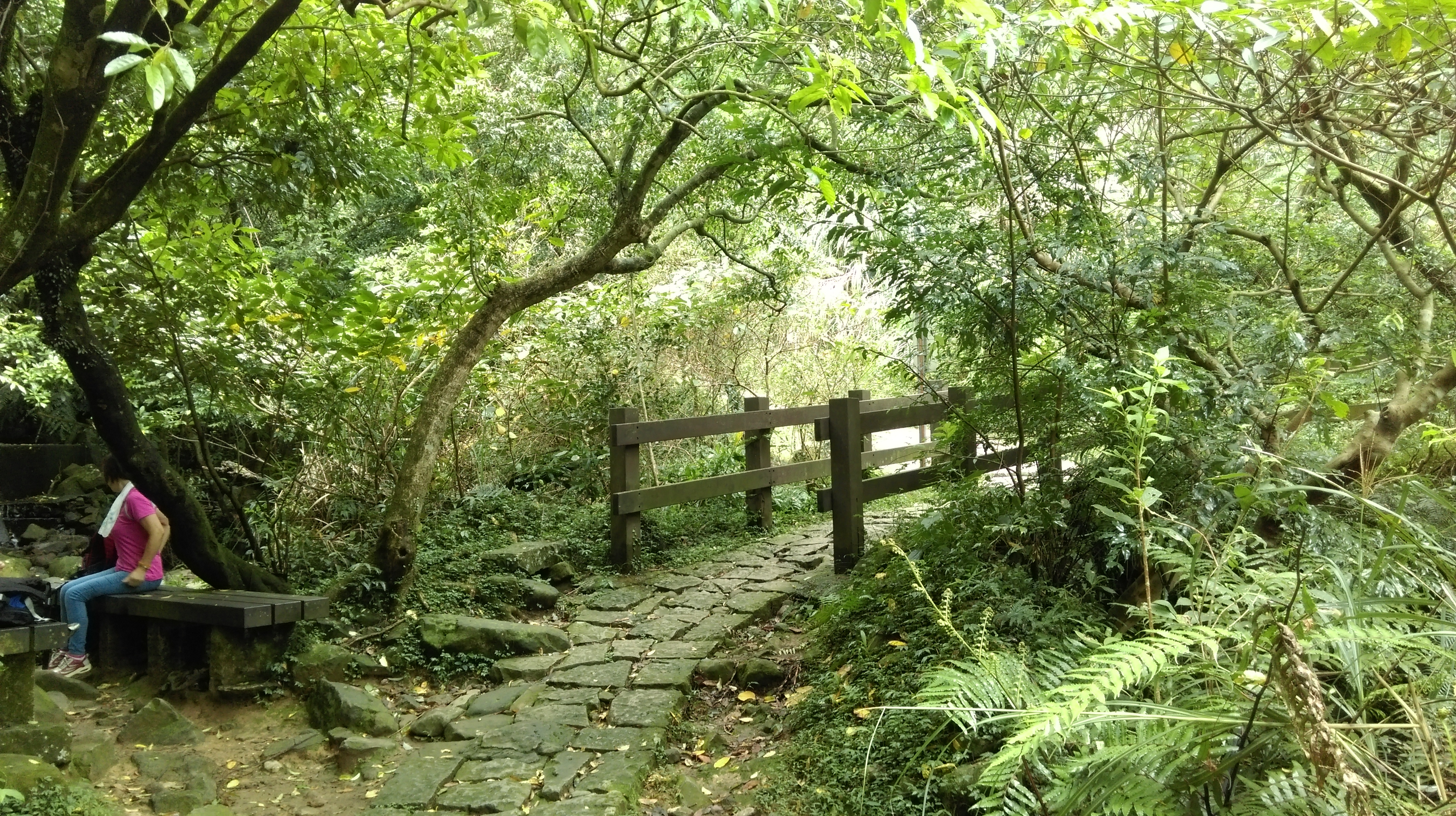
From the waterfall keep walking upstream.

trail towards Qingtiangang
Turn right at a trail junction when the trail crosses the stream, signposted to Qingtiangang.
turn right at the bridge
The trail soon emerges from the trees onto the grasslands.
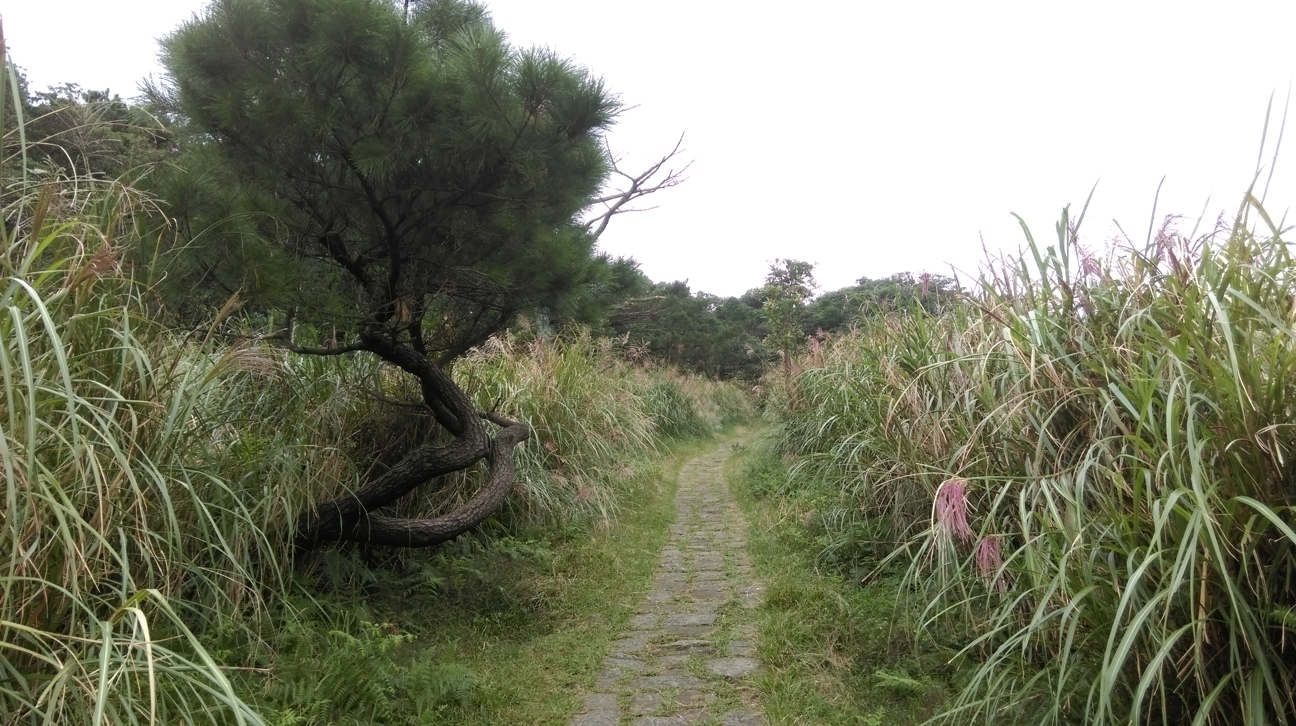
trail to Qingtiangang
Keep going straight at the next two trail junctions, signposted for the visitor center.

go straight here…

…and straight here too
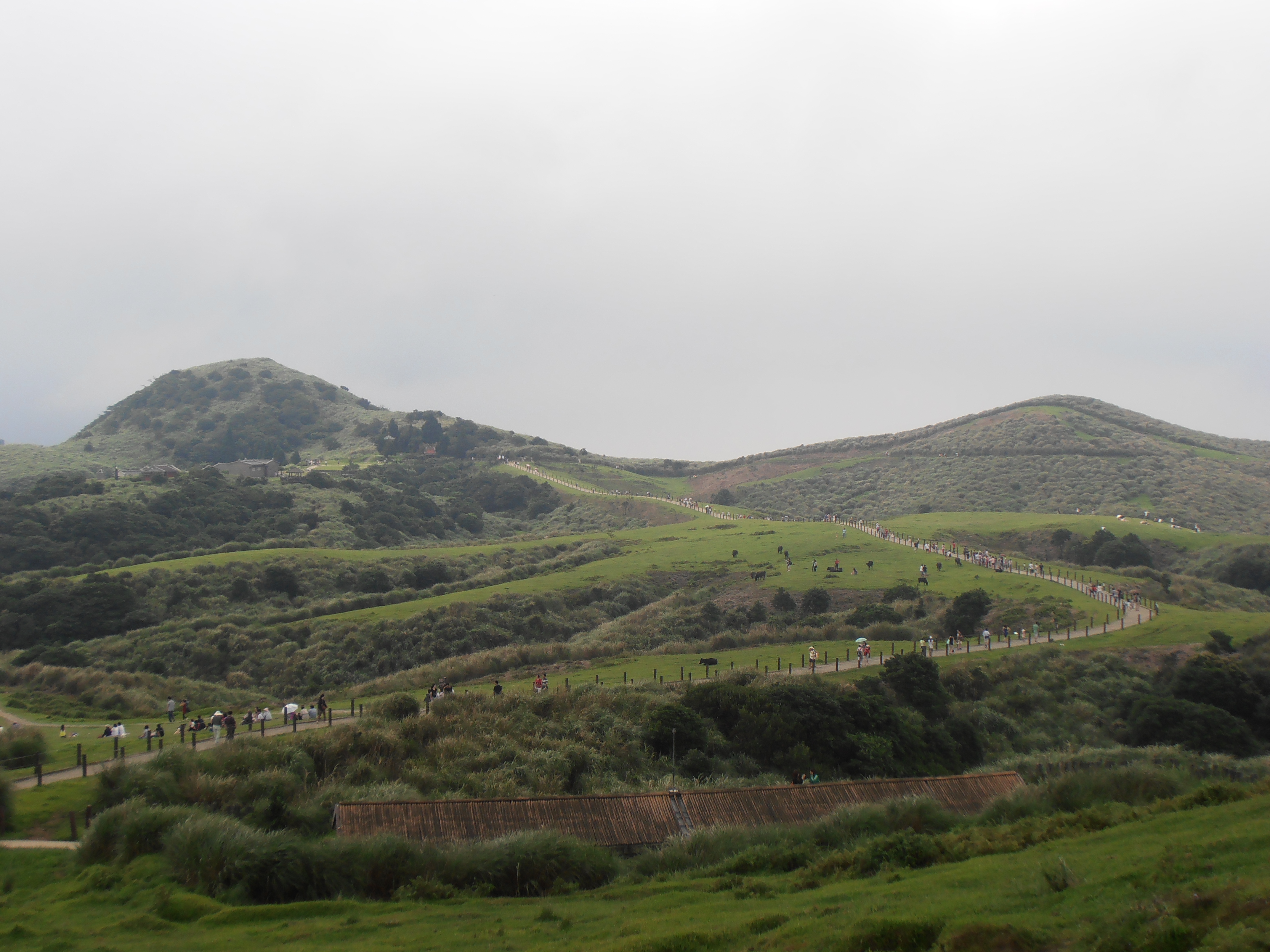
At the Qingtiangang car park there is a visitor centre with some displays and a small store. The second leg of the hike is a circular trail that takes you up to the peak of Zhugao which is easily visible from the visitor centre. The hike takes you through the cow meadow. There are always lots of people here taking pictures of the cows. The hike to peak is fairly easy and takes less than 30 minutes, but there are no trees or shade on this part of the hike. Also, as the ocean is just down the other side of Yangmingshan, the cow meadow and Mt Zhugao may be in the clouds even when it is sunny down below in Taipei.
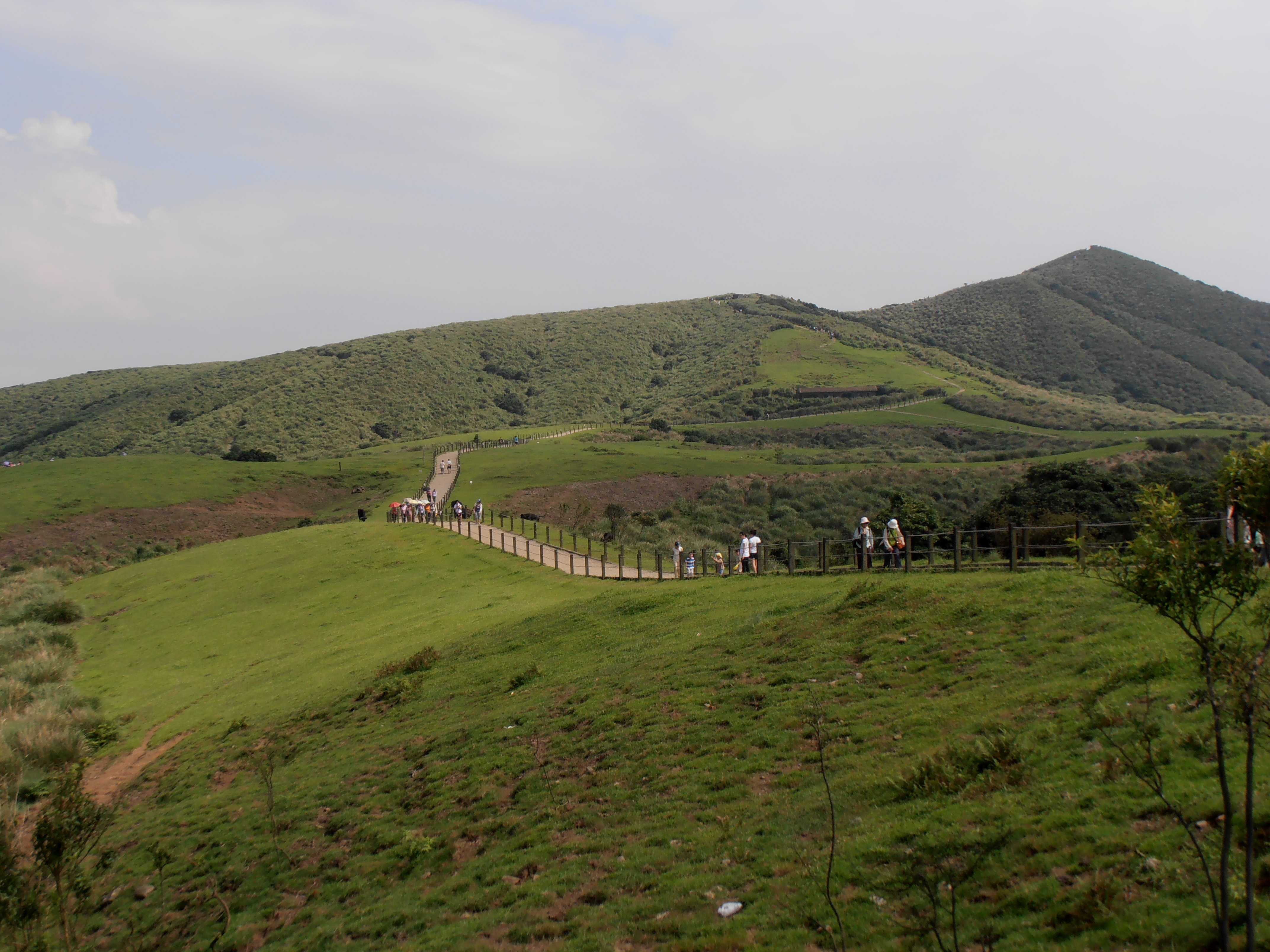
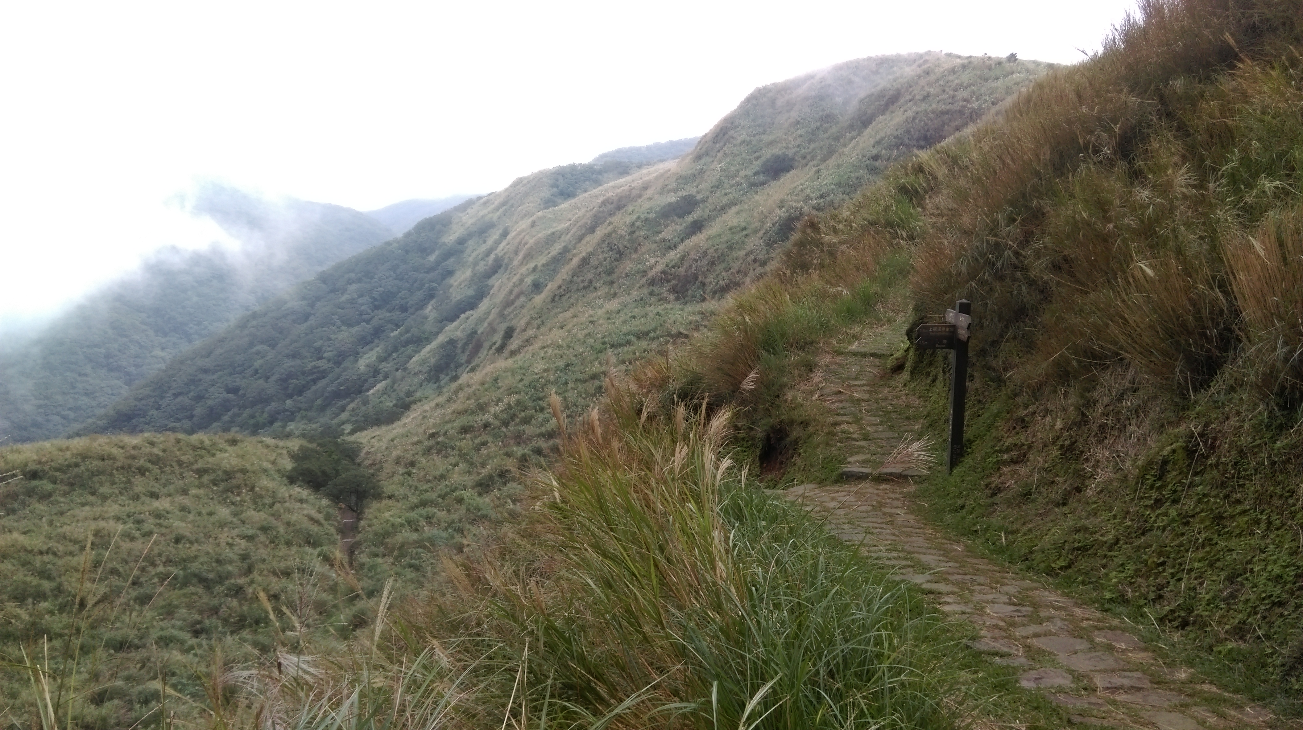
trail through the cow meadow with Mt Zhugao on the right
Keep going straight through the cow meadow and the trail will start to climb Mt Zhugao.

climbing away from the cow meadow
Halfway up there is a trail junction. Fork right for now following the trail to the peak, signposted to Mt. Zhugao. BTW, the large round structures seen on the mountain around here are old anti-aircraft gun placements built during the early days of the ROC to protect the capital from a possible Chinese air raid.

fork right here for the peak then return

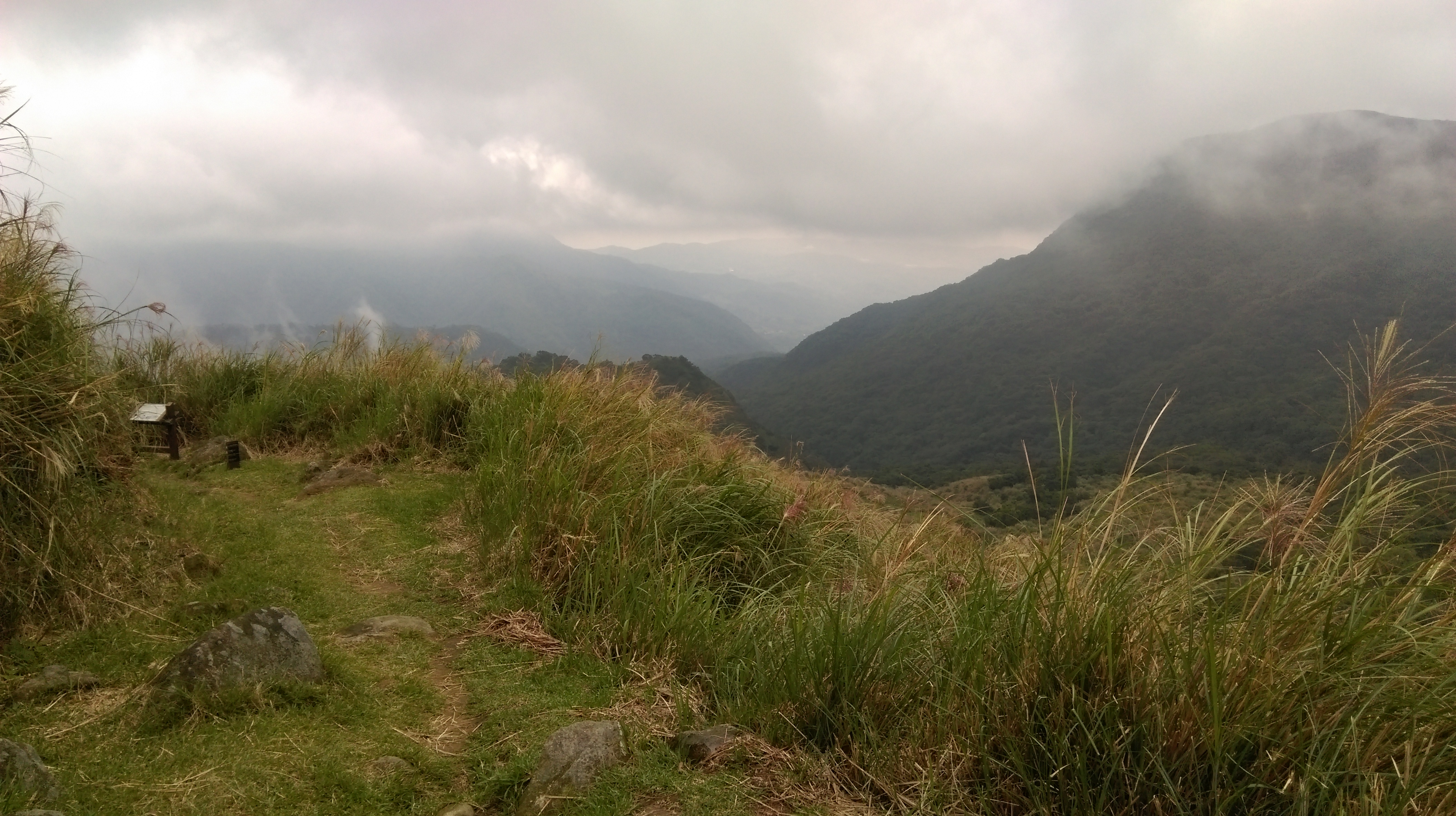
Mt Zhugao peak
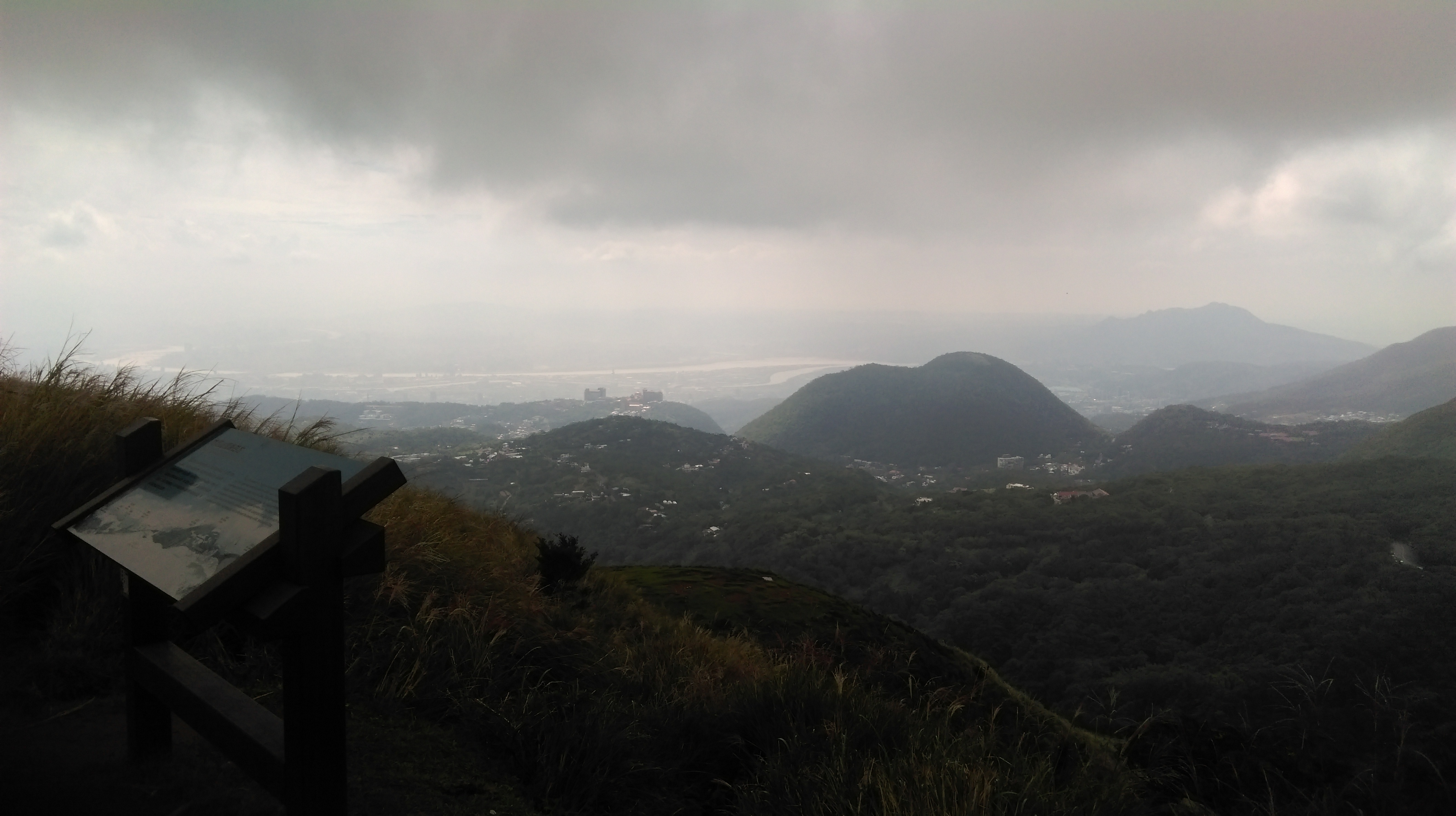
view from the peak
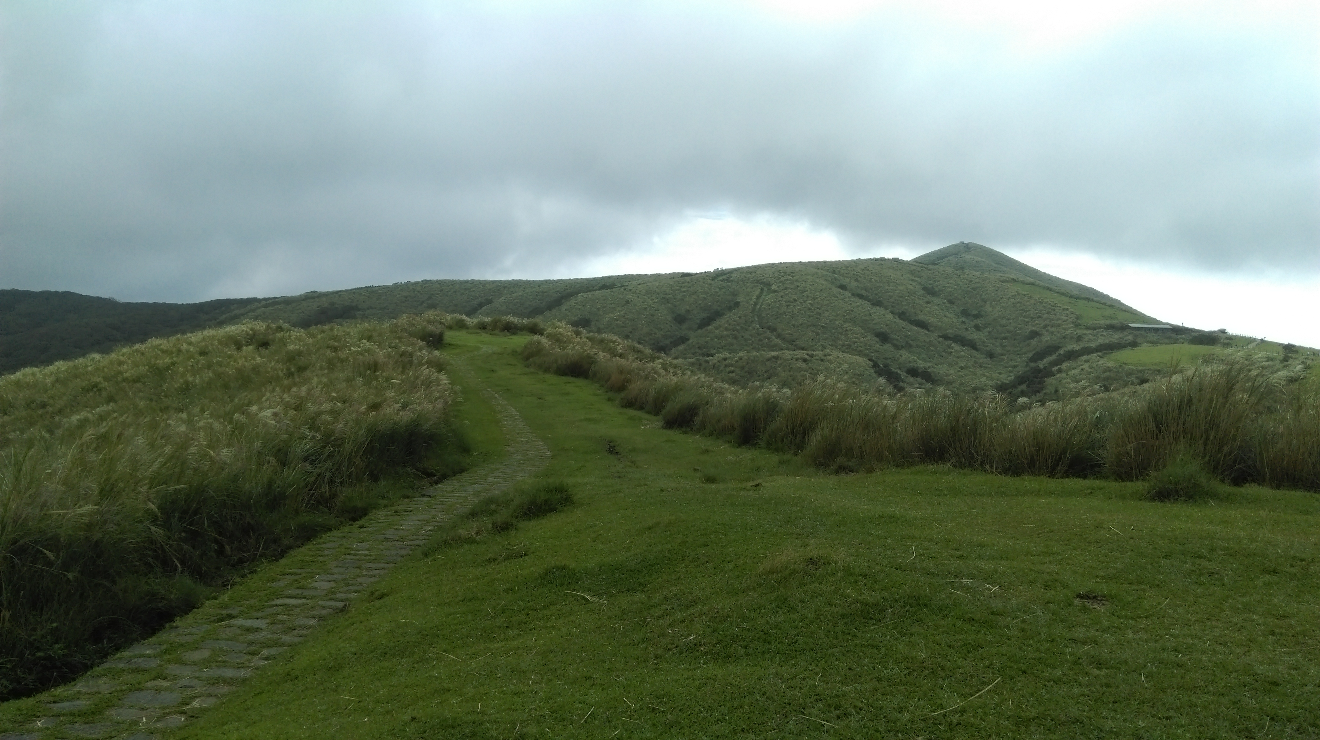
From the peak head back down to the last trail junction and fork right signposted for Qingtiangang Circular Trail.

going back down from the peak
The trail descends Zhugao through the grass, crosses a small stream at the bottom, and climbs back up the other side.

on the circular trail
on the circular trail
The Circular Trail ends at a trail junction. Turn left here heading back towards Qingtiangang car park and you will soon come to a stone gate. Turn right at the stone gate, signposted to Bayan and Shanghuang Creek Parking Lot. This is the start of the third leg of the hike.

turn left at the end of the trail

turn right at the stone gate
Make the steep descent from the gate to another trail below.
fork left heading down
From here there are two trails that go down to the valley below: a trail of stone steps that goes straight down (the Jinbaoli Trail) or a rocky dirt trail (the Japanese Trail) that meanders its way down. The trails crisscross a few times on the way down. To save your knees it’s best to take the Japanese Trail down at first.
descending on the Japanese Trail
Turn left onto the Jinbaoli Trail at the second crossing.

turn left here
There are still some steep steps going down but once the trail enters the trees below it follows alongside a small stream and is a very rewarding trail to hike. It also passes a Land God shrine.

Land God shrine

following the stream
Near the bottom there is a large covered rest area.

rest area at the bottom
Just below the rest area is a trail junction. For a short detour turn right here. About 5 minutes up the trail there is an old abandoned farm house.
trail junction below the rest area, turn right here to go to the old farmhouse, then return and go straight
After checking out the house head back to the rest area and keep following the trail.

old house
The trail will cross over the river at the bottom on a stone bridge.
bridge
After the crossing the trail changes into a dirt trail climbing near the stream. There are a couple of junctions with closed off trails that used to lead to Bayan, but these trails were damaged by landslides in a typhoon in 2012 and not repaired. At the first junction a wooden staircase leads down.

junction with a closed off trail
The dirt trail then continues high above the stream.

trail to the car park
The trail crosses a small, fast flowing stream with a sort of waterfall, the water doesn’t actually fall but runs on a very steep slope.
bridge crossing in front of a small waterfall
After the crossing the trail comes to another junction with a closed off trail leading to Bayan. There is another wooden staircase leading down here as well.
junction with a closed off trail
After the wooden staircase the trail switches back to a stone trail winding downwards back to stream level.

descending to the stream
The trail ends at stream level. Follow to track to the car park. There are public washrooms in the car park but nothing else.

trail entrance
From the car park walk down the main road and catch the bus from the stop on the other side. This bus goes over the mountain from Jinshan to Taipei. See below for bus schedule.
Map of the Hike
Schedule for the Jinshan – Taipei bus:
|
金山發車→台 北 |
||
| 平日(一~五) | 假日(六,日) | |
| 06:00 | 1 | 07:00 |
| 07:00 | 2 | 08:00 |
| 08:00 | 3 | 09:00 |
| 09:00 |
4 | 10:00 |
| 10:00 | 5 | 10:40 |
| 11:30 |
6 | 11:30 |
| 12:30 | 7 | 12:30 |
| 13:30 |
8 | 13:00 |
| 14:30 |
9 | 13:30 |
| 15:20 |
10 | 14:00 |
| 16:00 | 11 | 14:30 |
| 16:40 | 12 | 15:30 |
| 17:00 |
13 | 16:30 |
| 18:00 |
14 | 17:30 |
| 19:00 |
15 | 18:30 |
