Xizhi District, New Taipei City
This a loop hike that takes in three waterfalls and two peaks around popular Dajianshan (Big Sharp Mountain).
Access: take the train to Xizhi Station. From the station you can either walk up to the start of the hike or take bus F911 and get off part way up the mountain at the 馥記山莊[新巴士] stop, across from the entrance to a gated community. To find the bus stop at the station, turn right when you exit the gate, walk out of the station, then cross the main street. The bus leaves once an hour on the hour.
Length: 11.5km, about 5.5 – 6 hours
Difficulty Level: 3/5
Trail Conditions: wide and narrow dirt trails with short rope sections, slippery black stone steps, stone trails with steps
The Hike
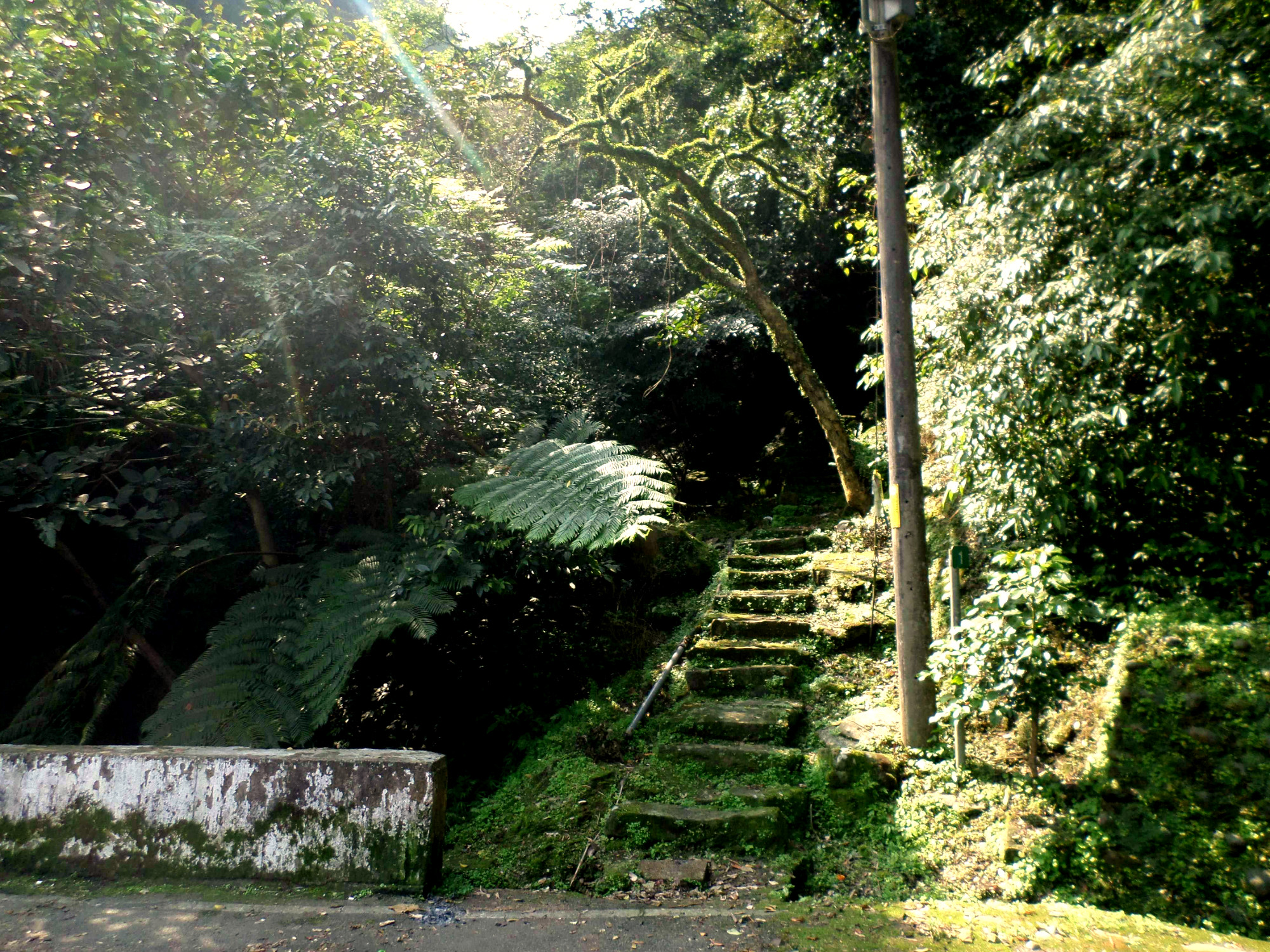
Start by entering the gated community across from the bus stop. Follow the road through the gated community until you come to another small guard post on the right hand side. Turn left here and follow the road out of the community and into the mountains.
 enter the gated community to reach the waterfalls |
 turn left here |
Where the road crosses a small stream, take the steps going up beside the stream to Dajianshan Waterfall. The falls are a short walk from the road. The gorge here was heavily damaged by a typhoon a few years ago and you still see evidence of the landslides the occurred here. The trail to falls is also damaged and the rocks are a bit slippery so be careful in here. You can use the ropes to help you climb up the upper levels of the falls.
trail to Dajianshan Waterfall
Dajianshan Waterfall
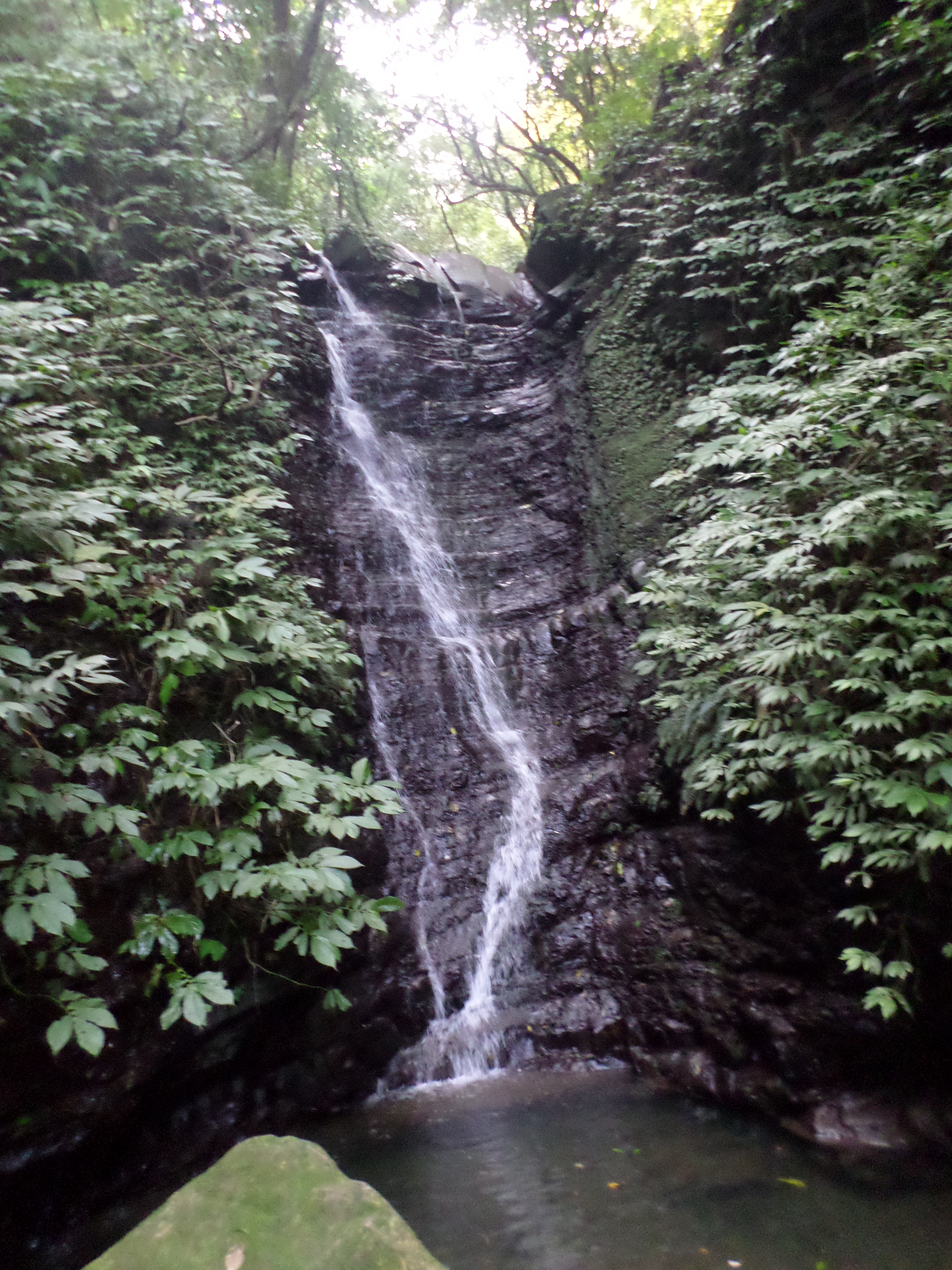
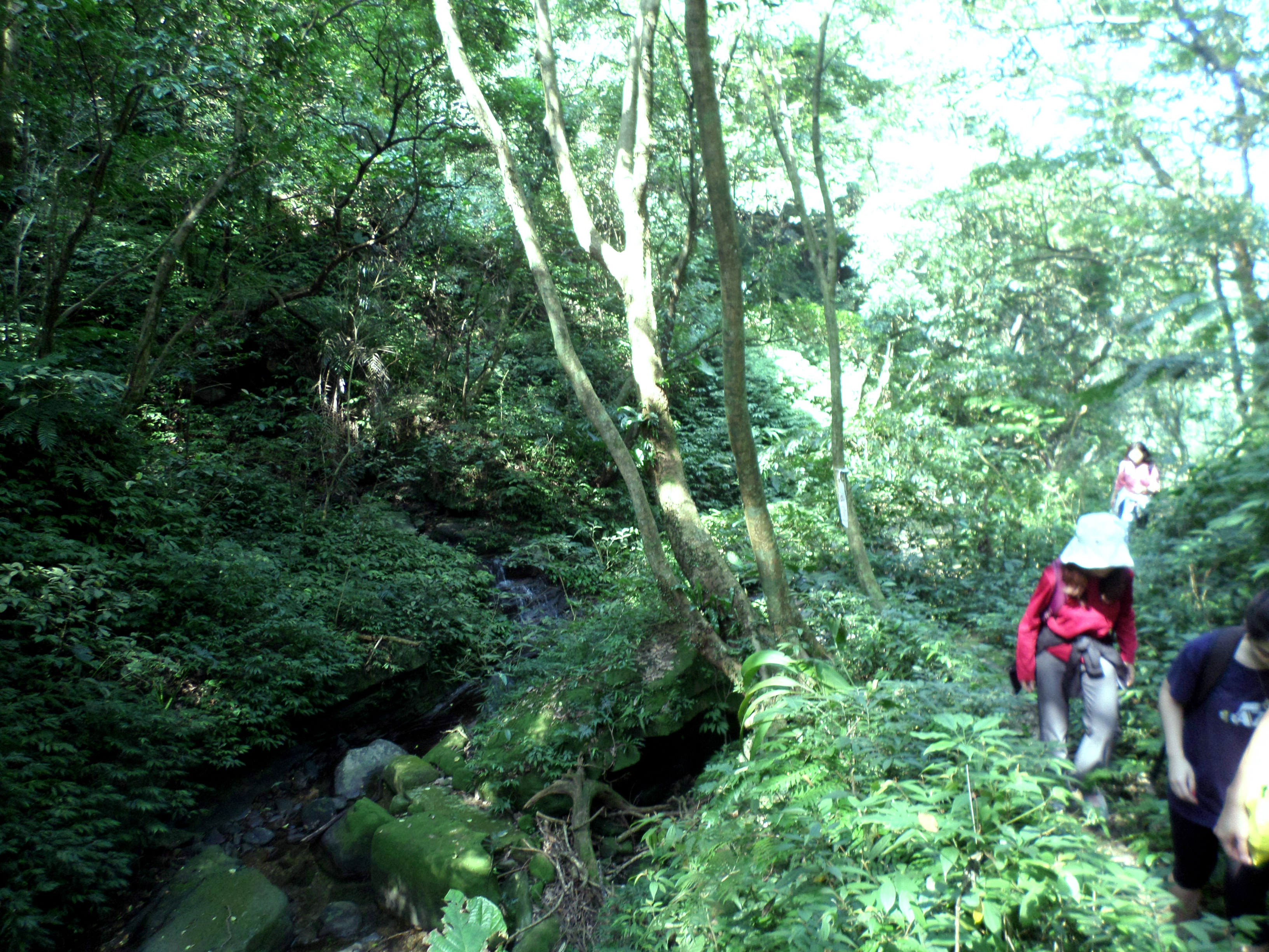
After seeing the waterfall return to the road and keep walking for about 400m until the road crosses another stream. There is a large sign here for the waterfalls and a trail map. Follow the stone trail up to the falls. The falls are a slightly popular attraction and some people drive up here to view them. From the falls it is about an hour of rugged hiking to reach the top of the ridge. The trail going up keeps switching between a dirt trail and broken up black slippery stone steps.

Chiedong Waterfall
Cross the stream in front of the falls then follow the stone trail and steps as it climbs up around to the top of the falls.
hiking to the top of Chiedong Waterfall
The gorge here was also damaged in a typhoon a few years ago. When you reach the top of the falls the trail will disappear into some landslide debris. Follow the hiking flags over the debris and across the stream.

landslide debris at the top of the waterfall
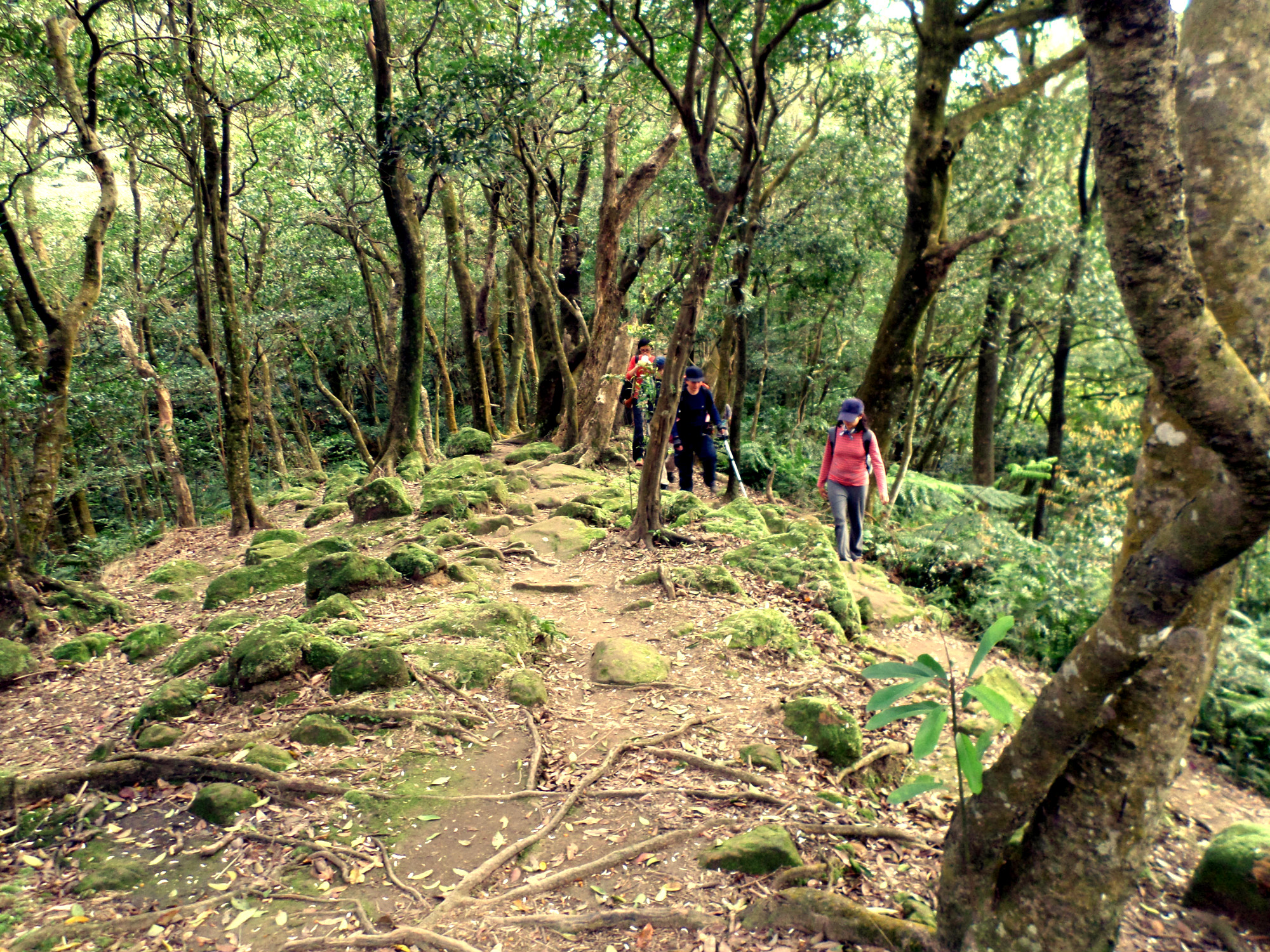
Keep following the flags as the trail climbs steeply up the left bank. The trail will continue to climb up following the stream.
climbing up the left bank

climbing up the left bank
hiking along the stream
The trail then cuts through someone’s bamboo farm (there is a farmhouse down the hill but you can’t see it from the trail). Pay attention to the flags to get through here.

hiking through the bamboo farm
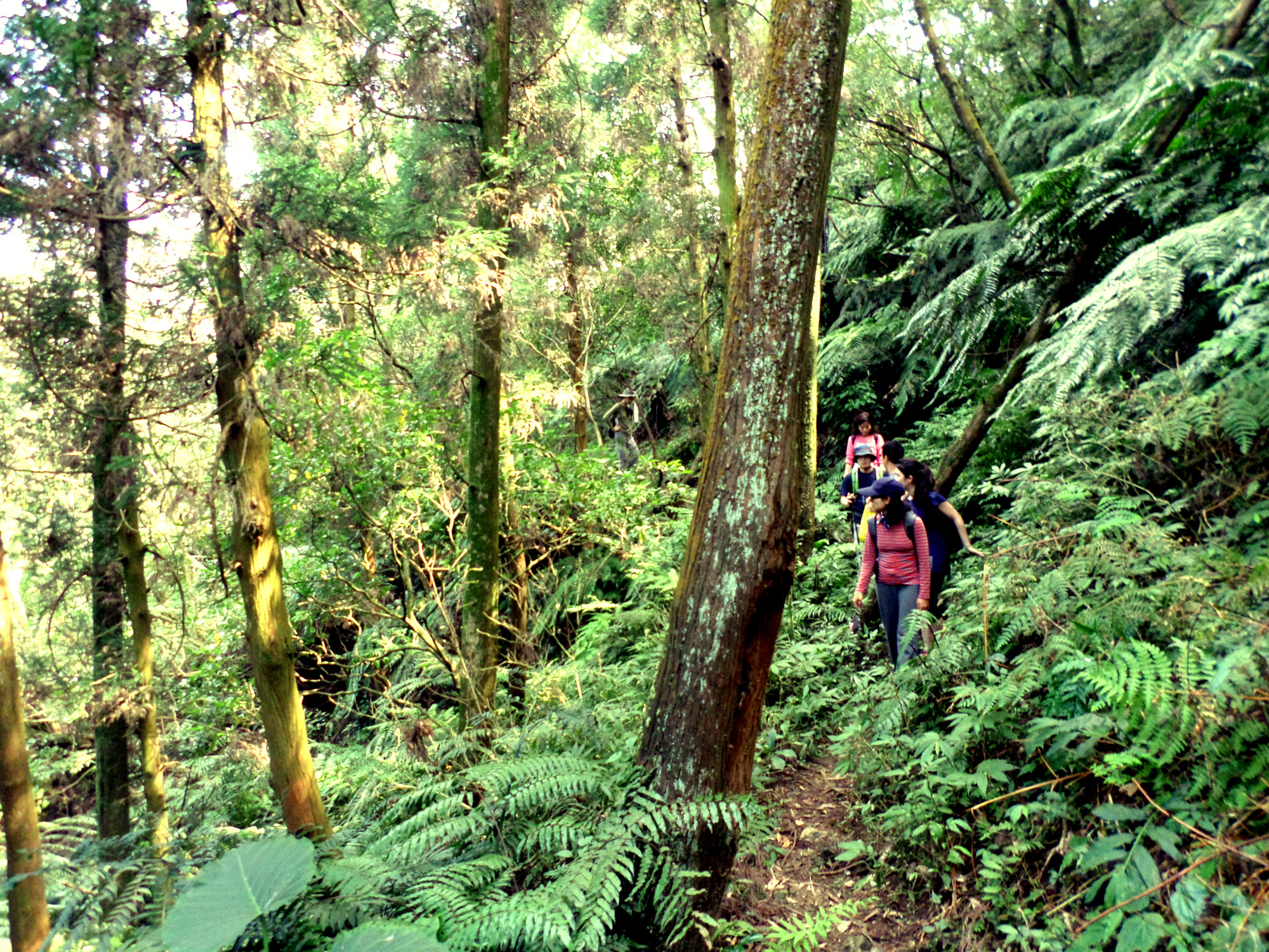
After the farm, the trail will keep climbing up, sometimes with stone steps, then veer away from the stream.

climbing some steps

beside the stream again
This trail ends at a trail junction marked by brown signs in Chinese only. Turn right at the junction.

trail junction, turn right here
After the junction the trail continues to climb sometimes with ropes and sometimes with black stone steps going back to the stream again. Then there are two easy bridgeless stream crossings to make. After the crossing the trail climbs up steep stone steps and past a moss covered Land God shrine. After the shrine it is a short climb to the top.

rope climb
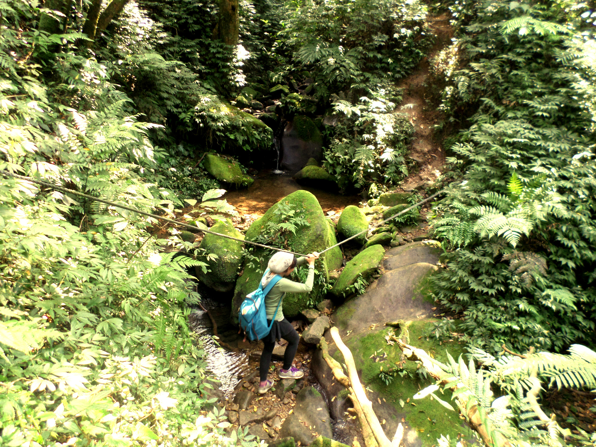
stream crossing

moss-covered steps

Land God shrine
near the top of the ridge
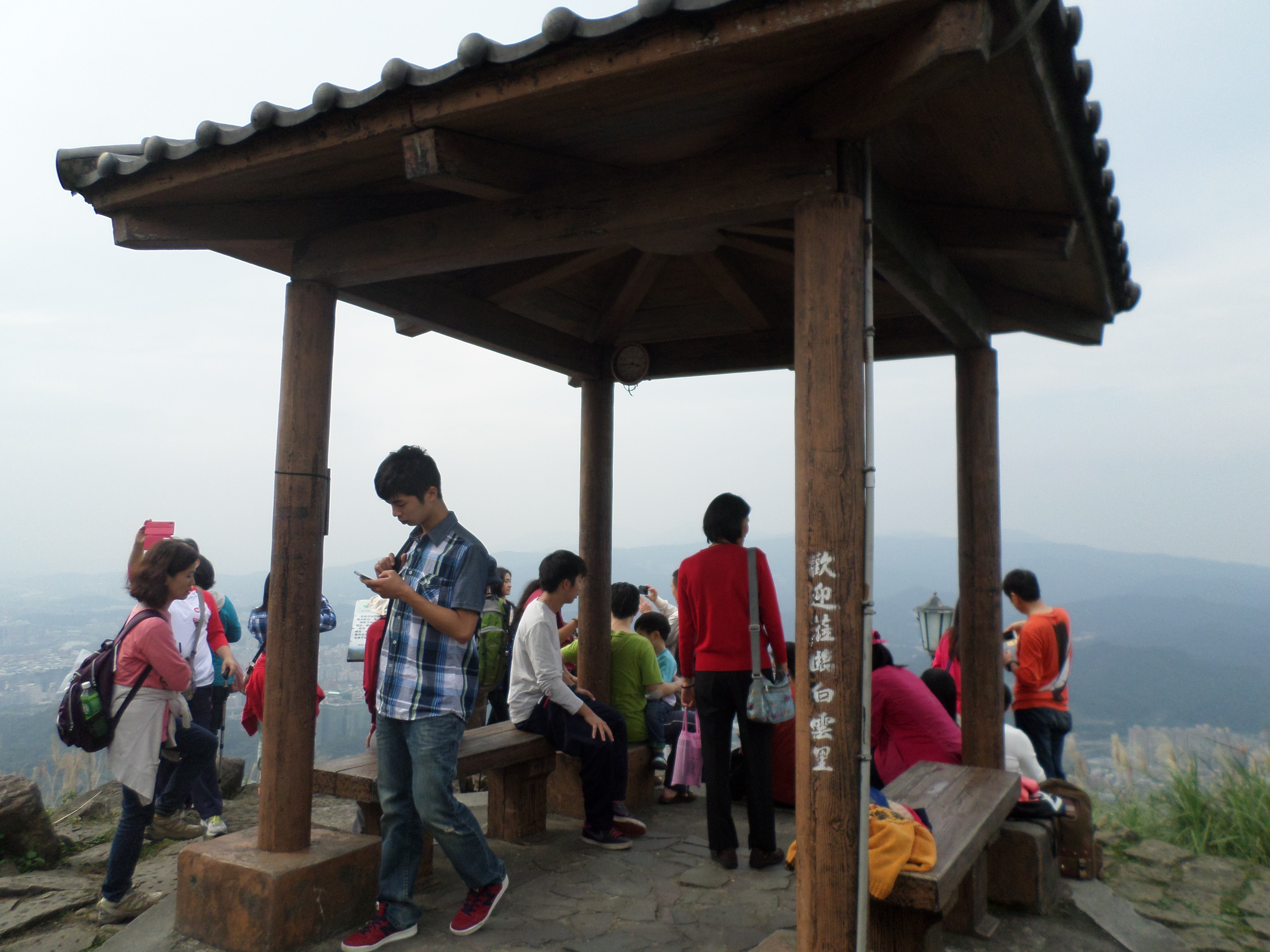
At the top you’ll arrive at the wide dirt trail that follows the top of the ridge between two peaks. Turn left at the top signposted for Sifenwei Mountain. From here it is only about 10 minutes to the peak. There are benches on the peak where you can rest. Just behind the peak there is a road and people drive here for the views.

trail to Sifenwei
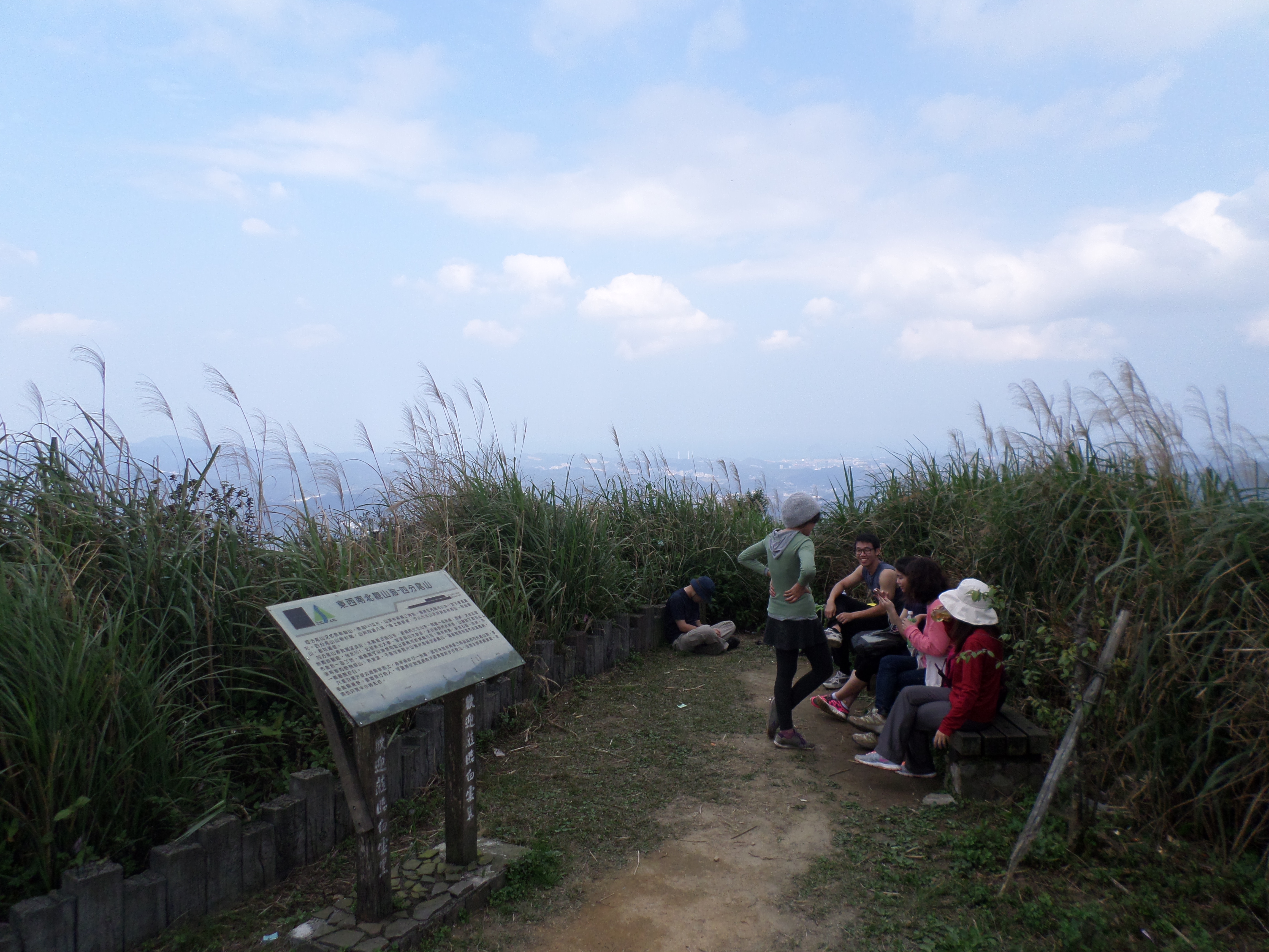
Sifenwei peak
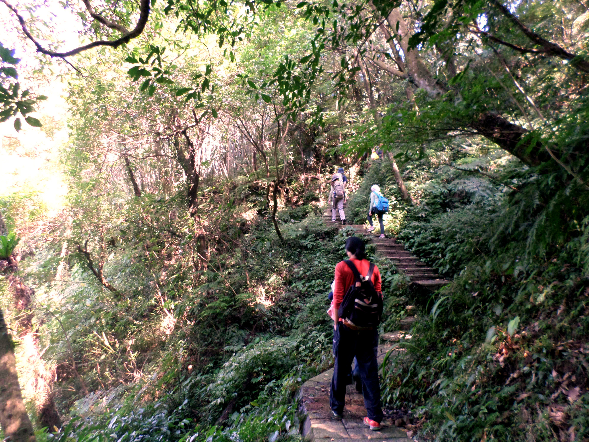
From the peak of Sifenwei it is 2.2km of easy hiking on the dirt trail along the top of the ridge to the peak of Dajianshan. The hike is fairly popular and even families do it. Ignore any trail junctions and just following the trail along the top of the ridge. Shortly before reaching the peak of Dajianshan the trail will change to a stone trail.

trail between Sifenwei and Dajianshan peaks

trail between Sifenwei and Dajianshan

near Dajianshan peak
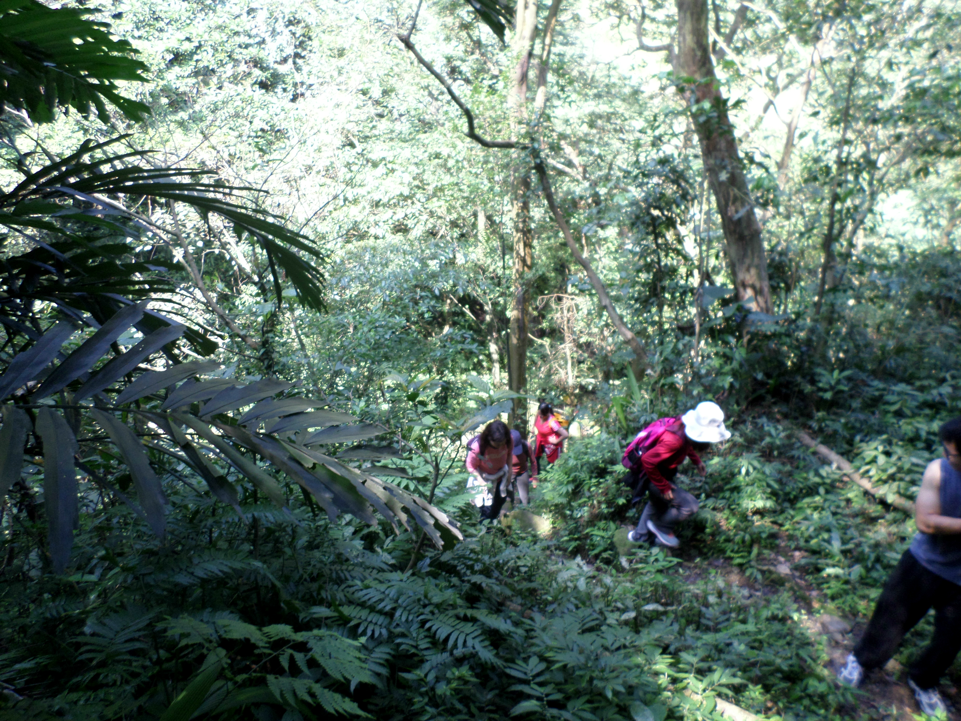
The peak of Dajianshan offers a sweeping 180 degree view of everything from Taipei to Keelung. There is also a pavilion at the top. The main trail going up Dajianshan reaches the top next to the pavilion. This trail is nothing but VERY steep stone steps going all the way up. Despite this whole families (and the dog) struggle to make the climb to the top.
Dajianshan peak
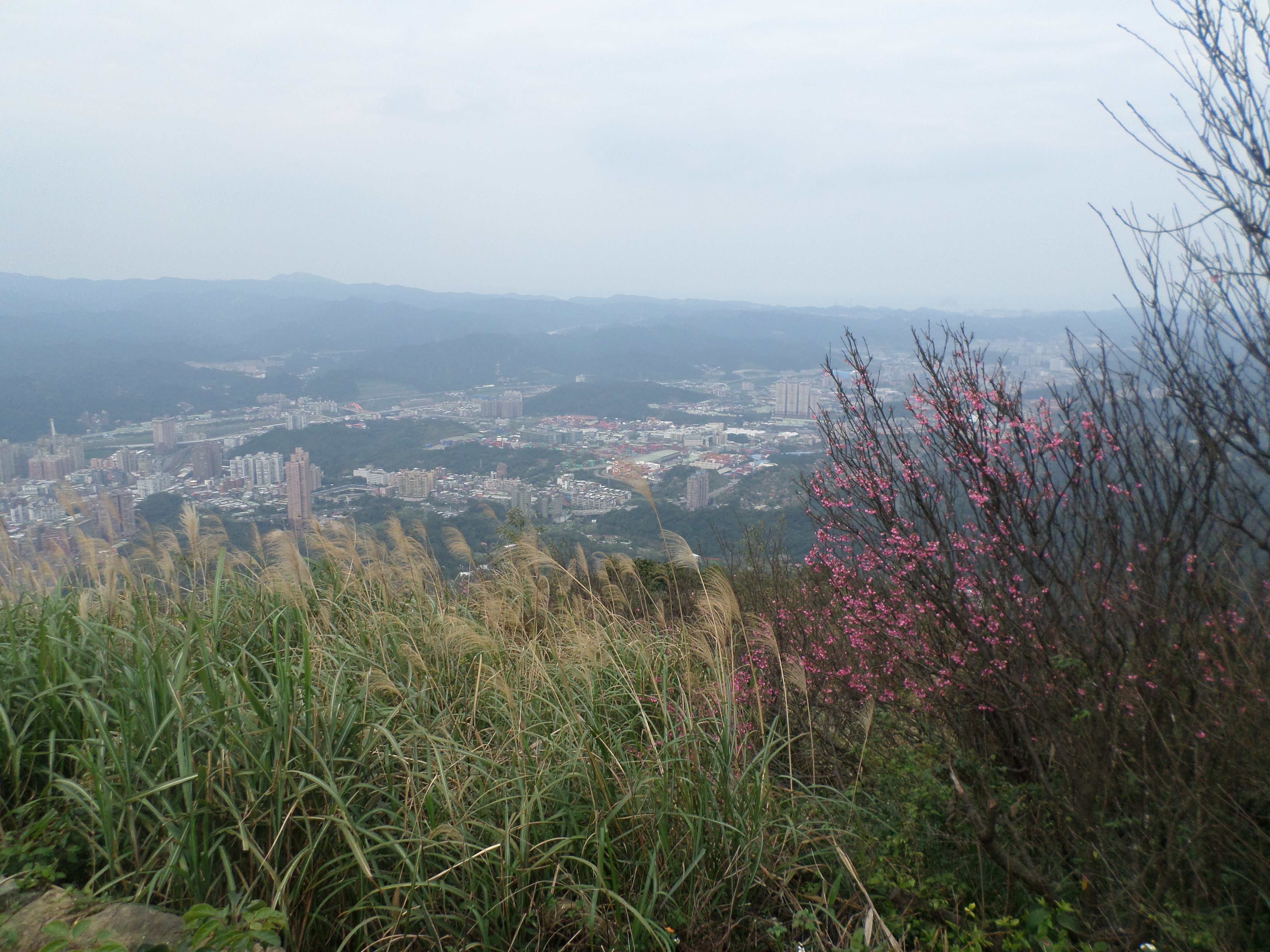
view from Dajianshan peak
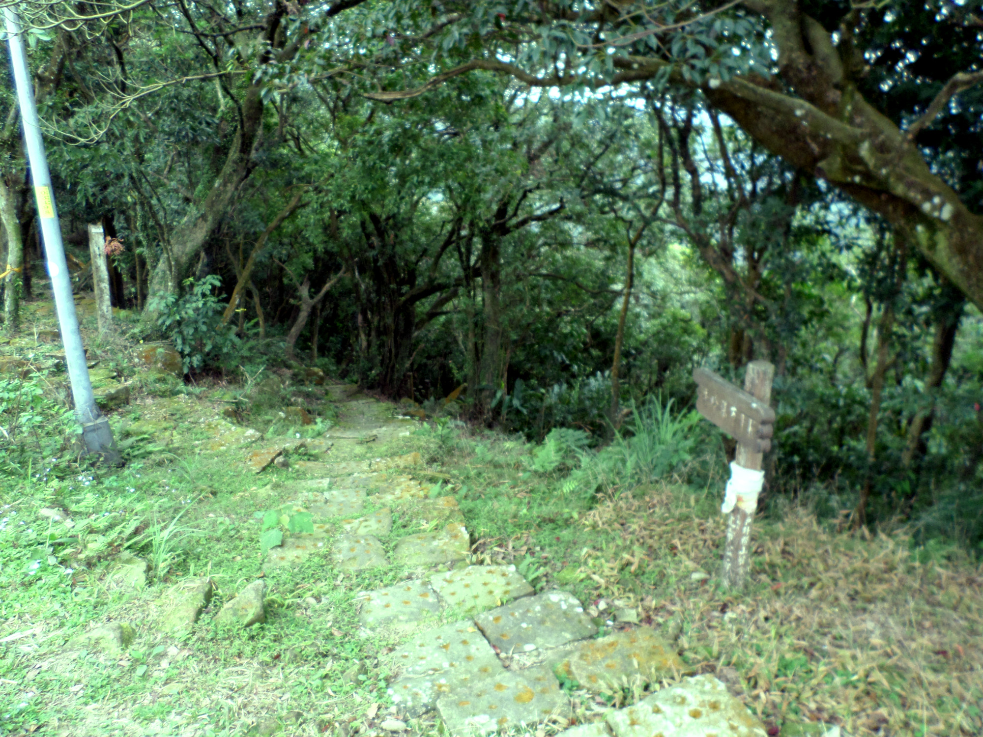
From the peak don’t take the trail next to the pavilion. Instead walk back past the chess tables and you’ll see another trail going down. Take this one instead. There is a brown sign marking the start of the trail in Chinese only. This trail is made of black, slippery, algae-covered steps. Be careful going down here and take your time. This trail leads down to a road.
take this trail going down from the peak

trail going down
At the bottom turn right and walk along the road for a few minutes then you’ll come to a trail starting on the left side signposted for Tiansiou Waterfall and Siou Peak Waterfall. Go down the few steps then turn right and follow the steps down. When the trail veers to the left, take the left fork at a shack. Follow the trail down a few more black slippery stone steps to where this trail merges with another trail. Keep going straight here.

take this trail going down from the road and then turn right

take the left fork at the shack

go straight here, when returning from the waterfall take the left fork
The short trail to Xiufeng Waterfall is in the middle of a high cliff, sometimes passing under overhanging rocks. There trail is wide and there is a safety railing.
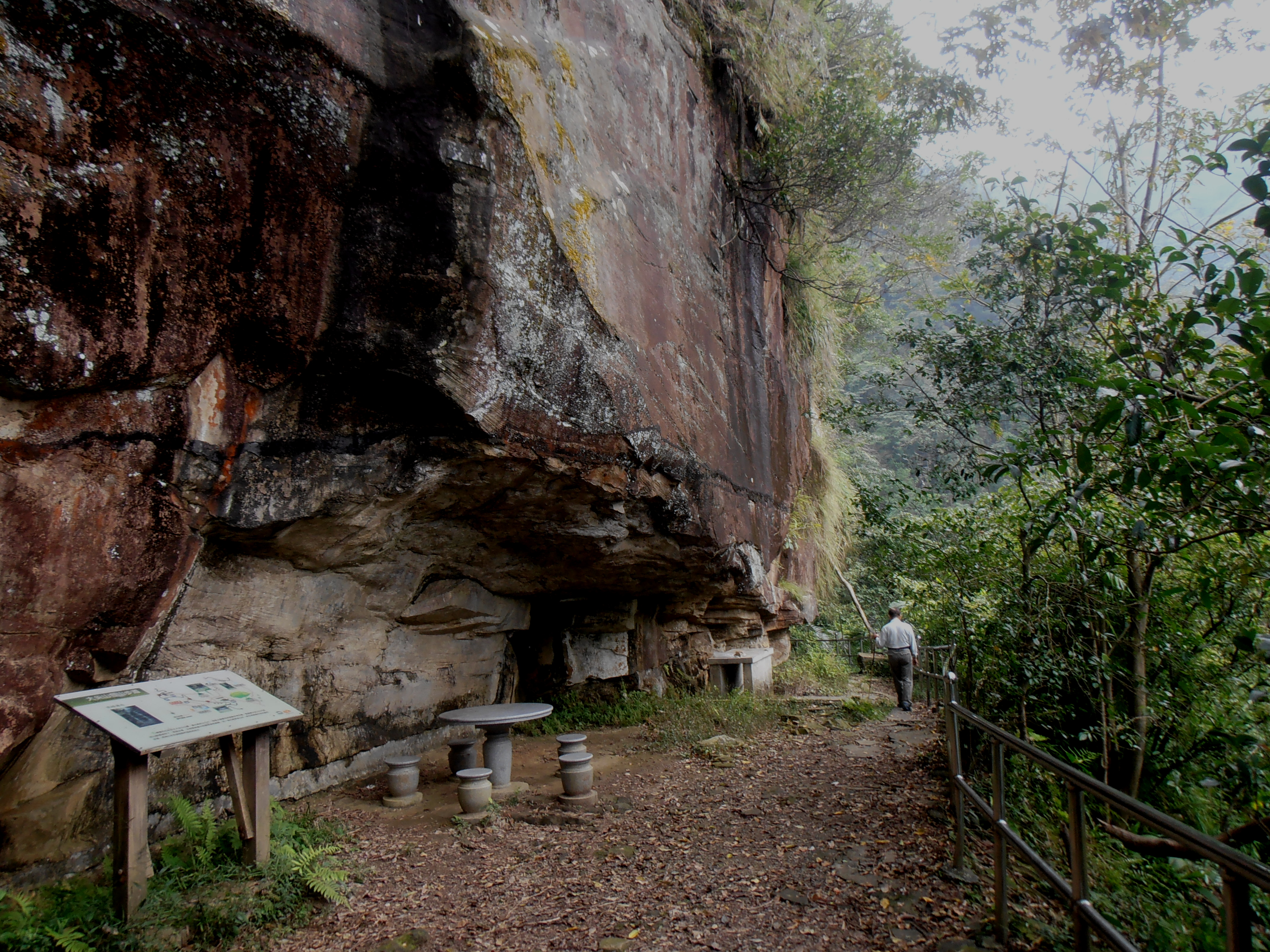
trail to Xiufeng Waterfall
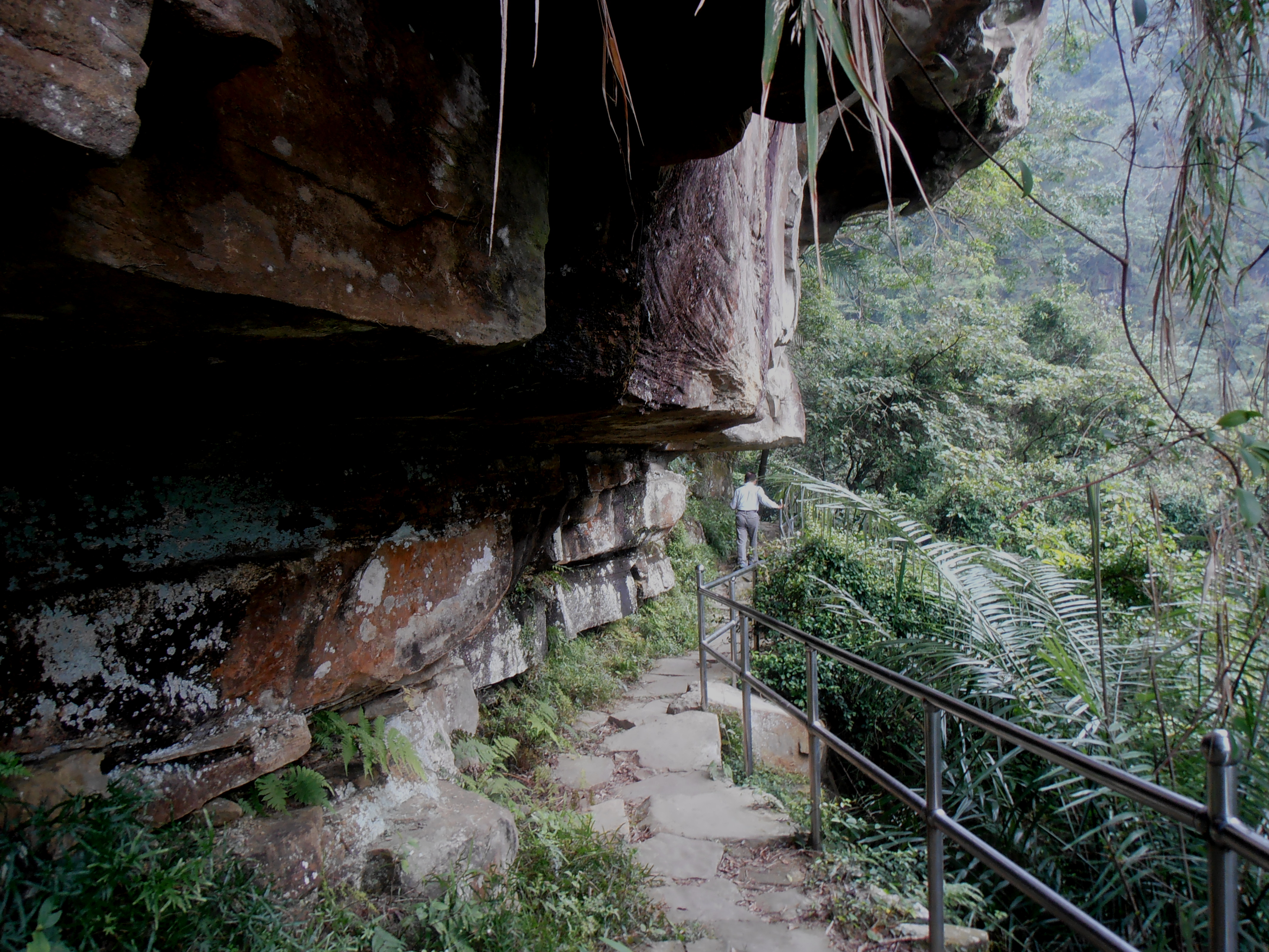
trail to Xiufeng Waterfall
The trail ends at the waterfall. It is best not to come here if there has been a lack of rain as these falls can dry up completely.

Xiufeng Watefall
After the falls return back to the last trail junction and keep going straight. In a minute or two this trail will end back at the road. Follow the road and you’ll come to a popular picnic area and car park. From here you can either take the bus back to the station or keep walking down.
To keep walking follow the road past a temple on the left. After the temple there are some steep steps going down on the left side. These steps rejoin the road and at the bottom of a hairpin turn. Walk along the road again for about a minute and the trail starts again on the left. The trail is mostly just steps going down and will end at the road yet again. From here just walk along the road back to the station.
Map of the Hike

Pingback: da jian shan via xiufeng falls (秀峰瀑布到大尖山) | taiwan trails and tales