Taipei City
Ergeshan is located on the border between Taipei and New Taipei cities, about halfway between Xindian and Pinglin. There are two trails which connect Maokong and Ergeshan. This is a U-shaped hike that starts and ends at Maokong.
Map of the Hike:
Access: this trail starts at the Zhinan Temple gondola station
Length: 11.5km, 6 hours
Trail Conditions: mostly dirt trail with some short rope sections, stairs at the start and end
Zhinan Temple – Houshanyue – Ergeshan Trail
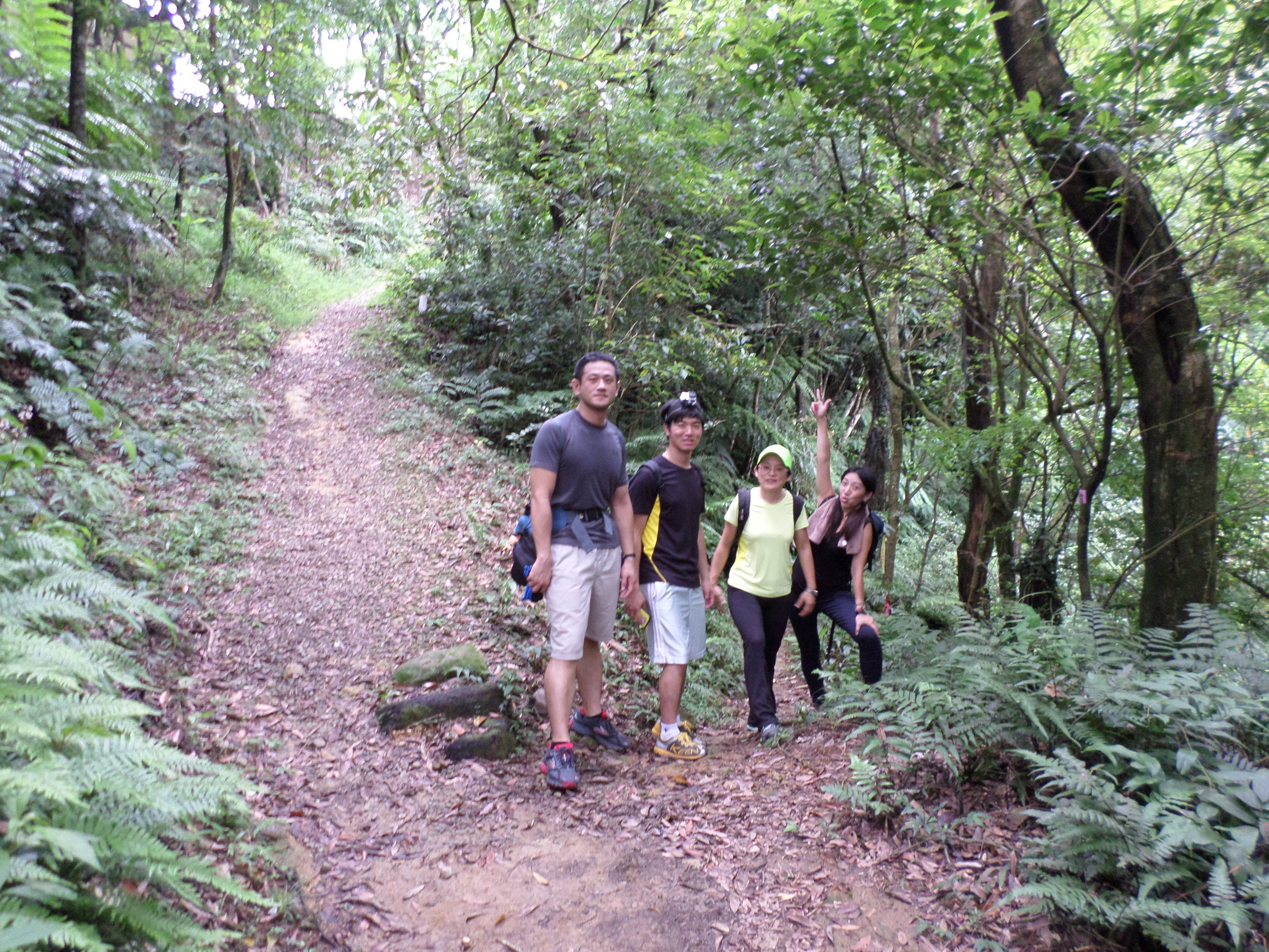
The Hike
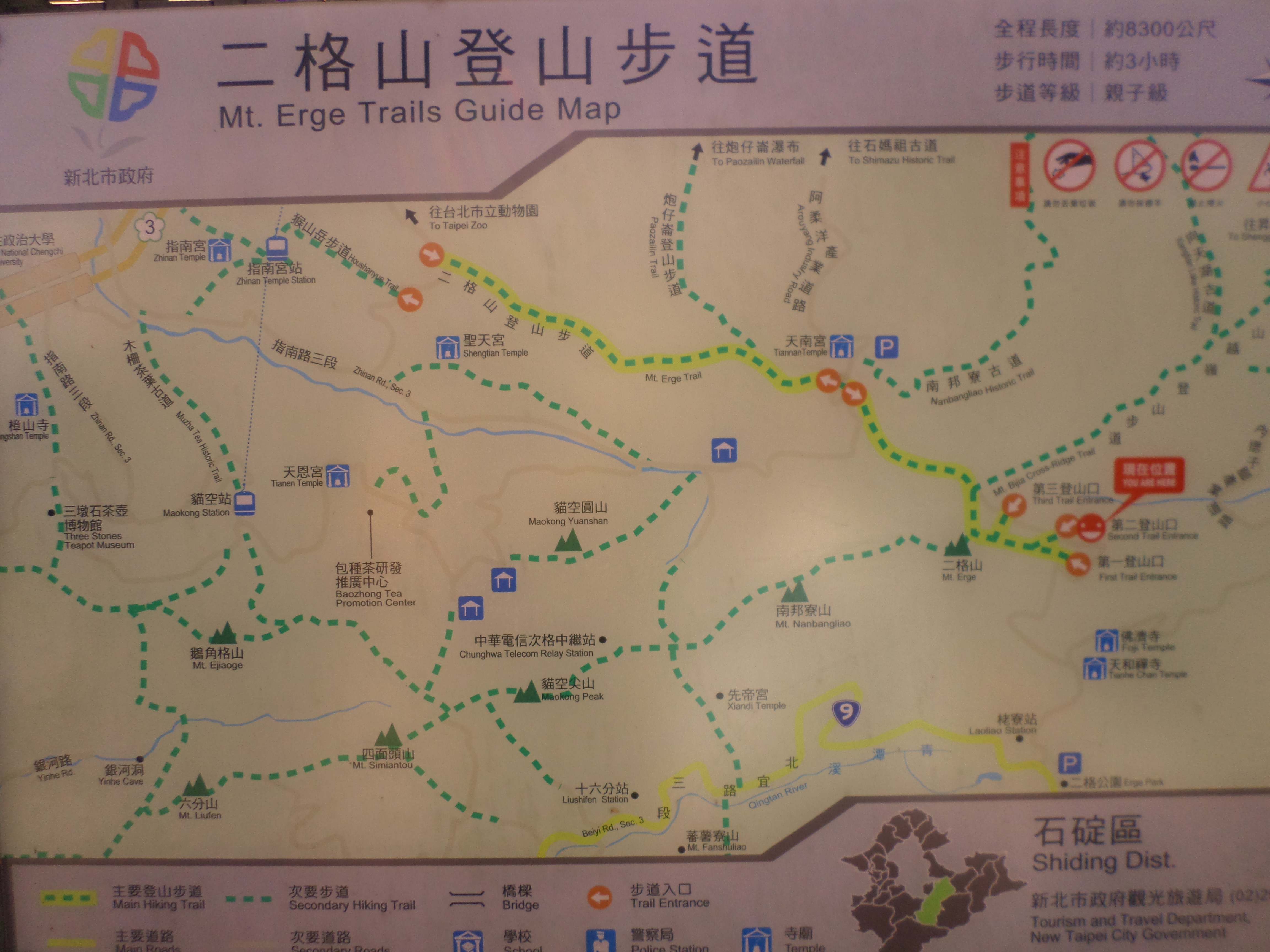
trail map
This guide follows the trail shown in yellow on the trail map. See below for a guide of the Maokong Gondola – Maokong Peak – Mt. Nanbangliao Peak – Mt. Erge trail.
The trail starts a short distance up the road from the gondola station and is well marked with a sign and a map of the trails. Stairs lead up from the road and then past a tea field. This section of the hike is on a stone trail with stairs. After about 500m the trail will end at a road.
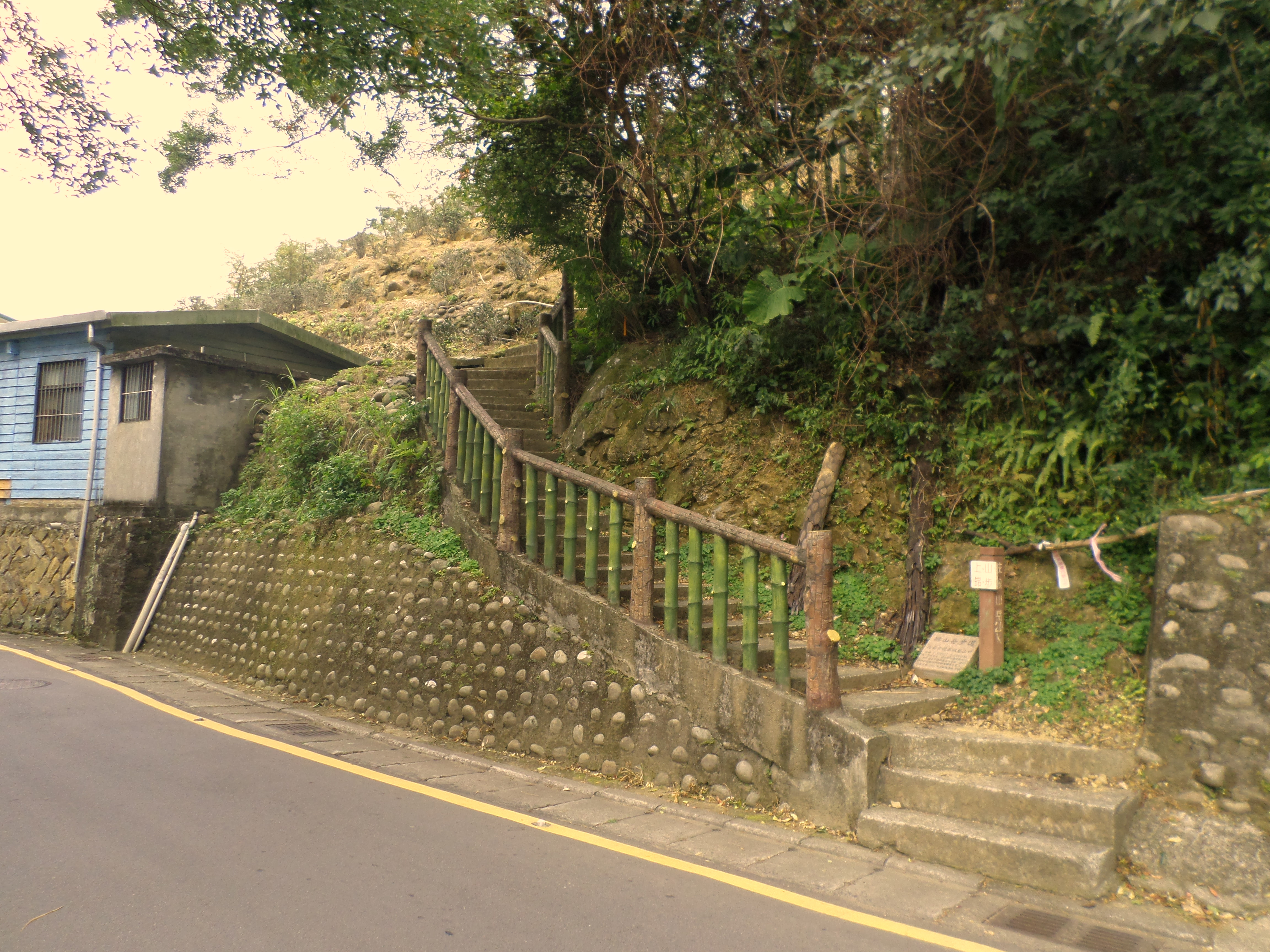 trail starts here |
 first section of the hike |
Turn left and follow the road for about 300 meters until the road makes a hairpin turn. Turn right into the driveway for a large house, signposted for Mt. Houshanyue Hiking Trail Entrance. The trail starts from the driveway. Go up a few meters then turn right immediately at the first trail junction.

turn off the road here

trail from the driveway, turn right after a few meters
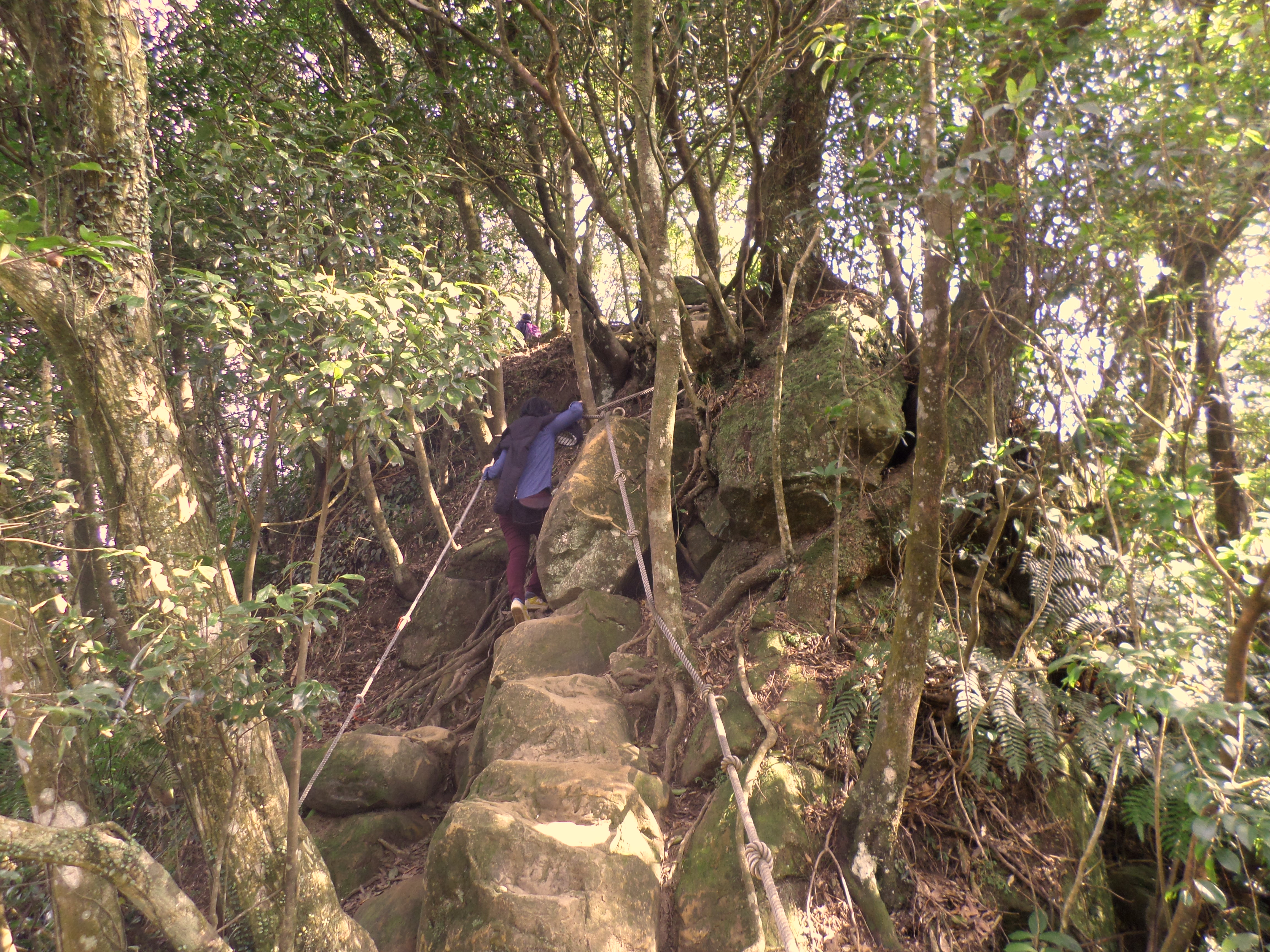
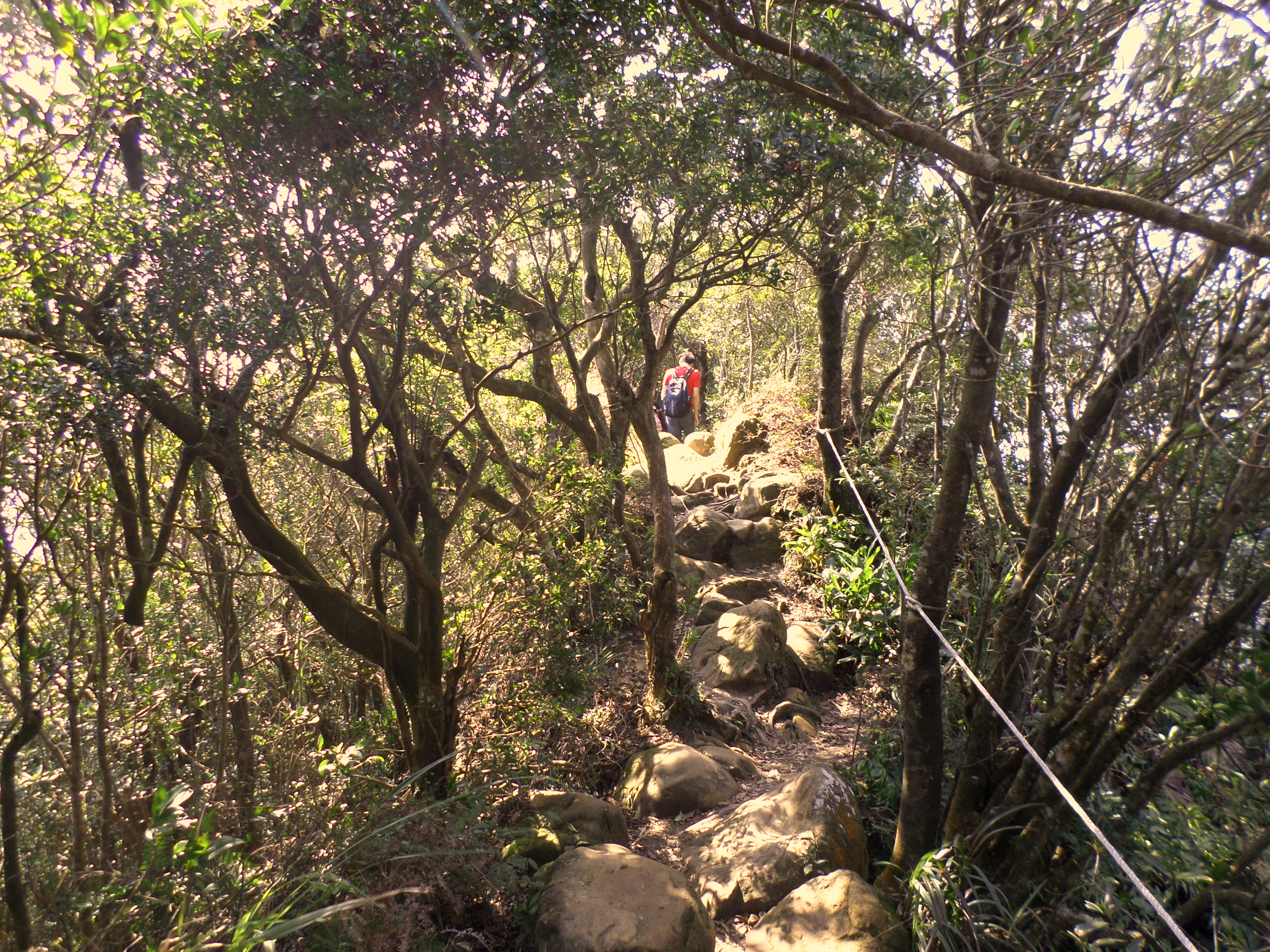
The trail climbs up steeply at first then completes the climb to the top of the ridge with a rope and rocky section.

climbing up the ridge
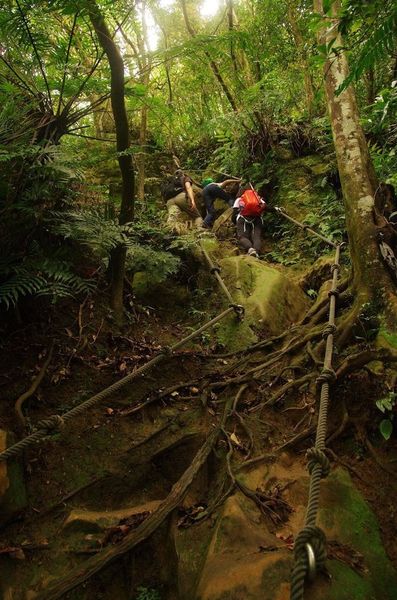
rope climb to the top
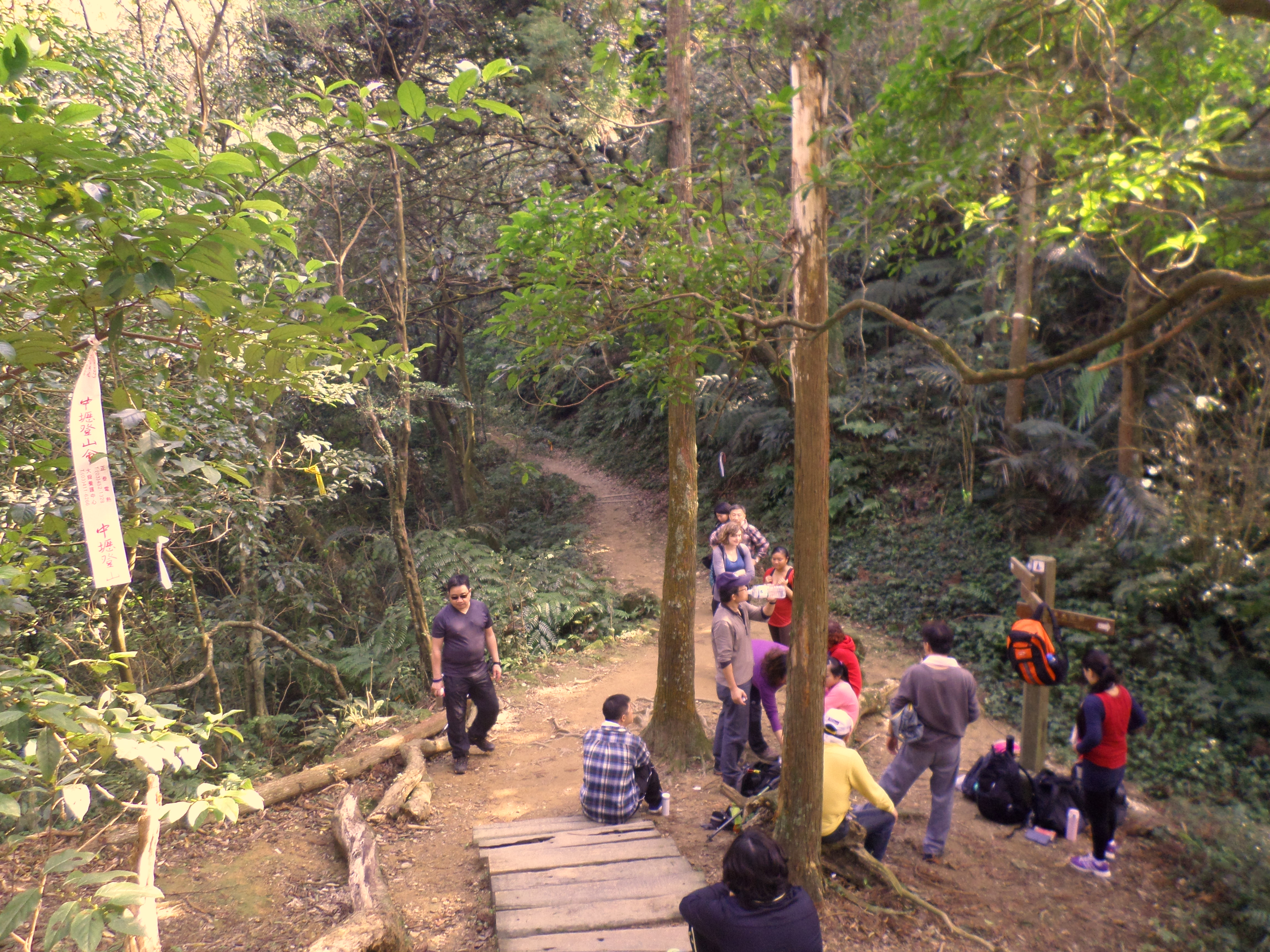
After climbing up you’ll arrive at a rest area. From the rest area take the trail signposted for A-jou Rd. and Hou-shan-yue Mt.
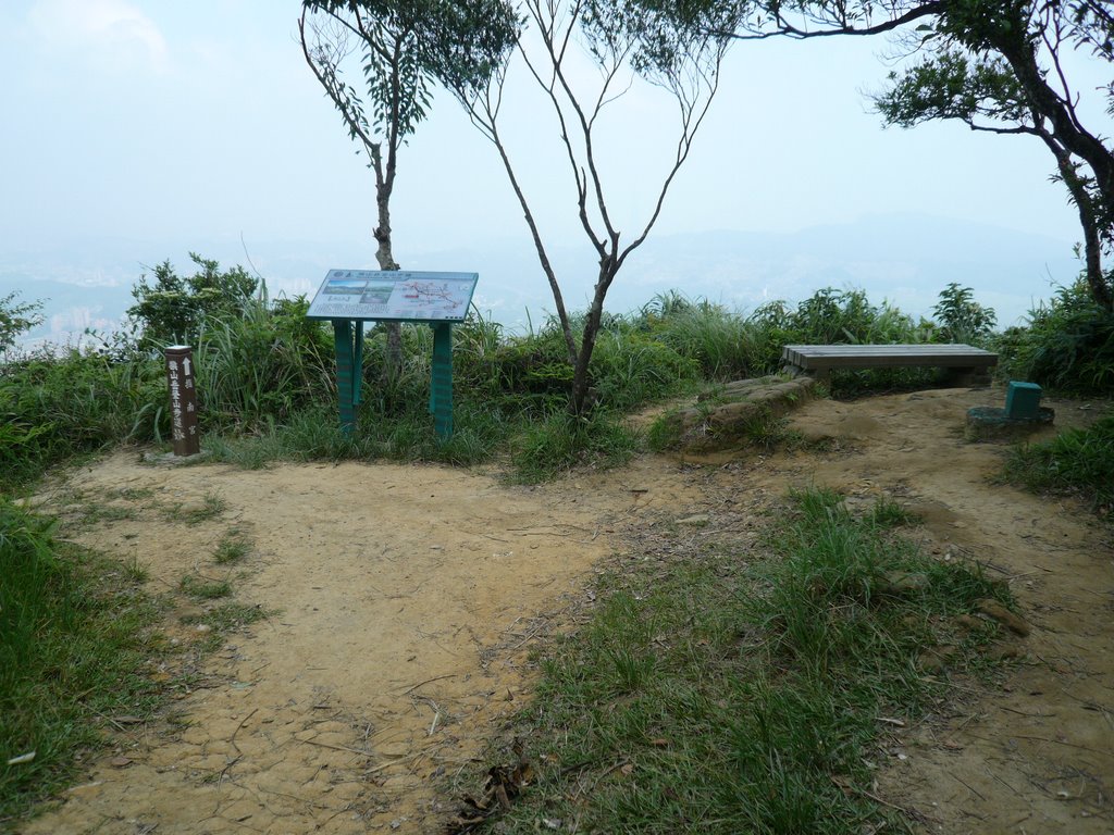 rest area |
 go straight along the ridge from the rest area |
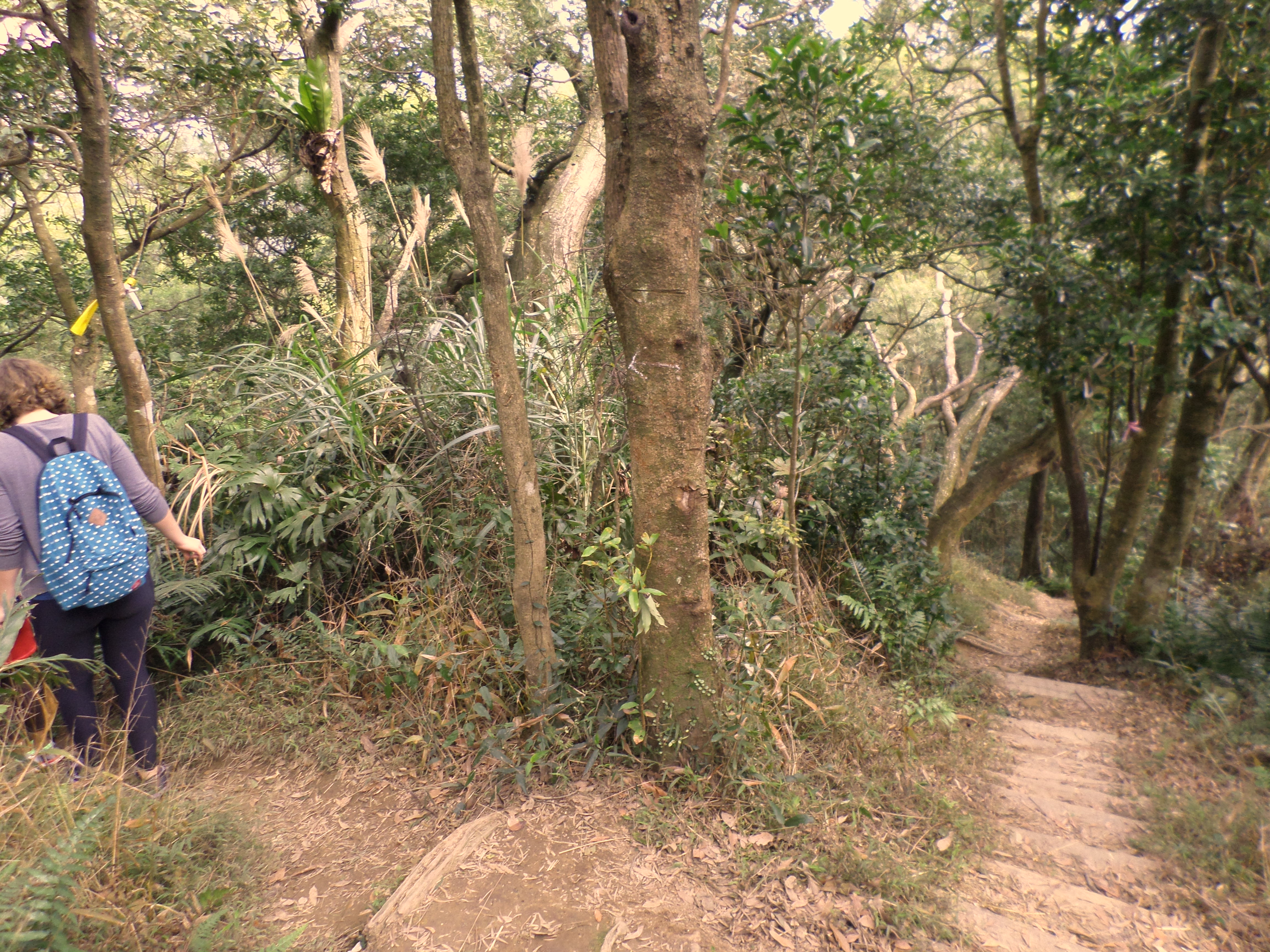
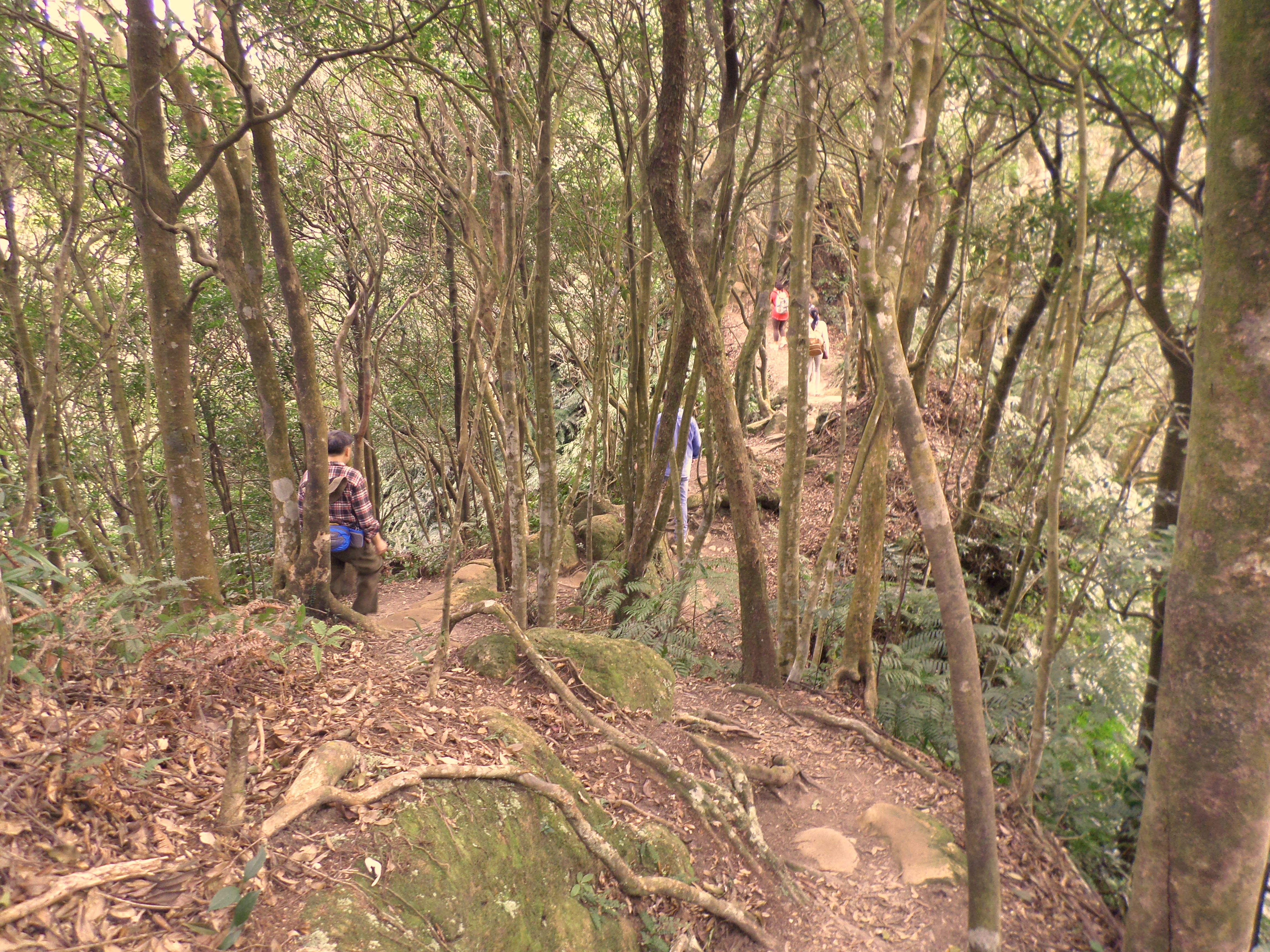
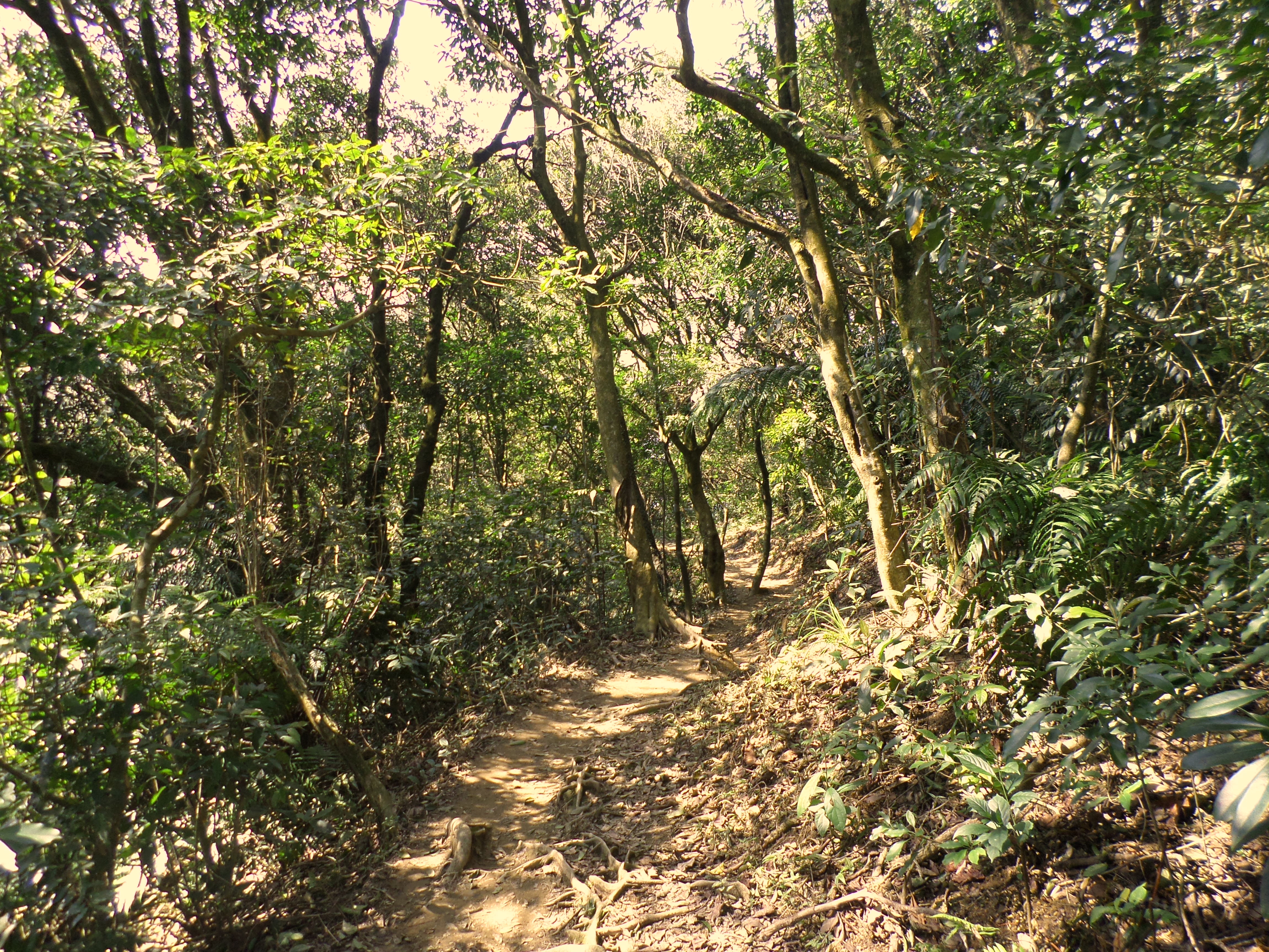
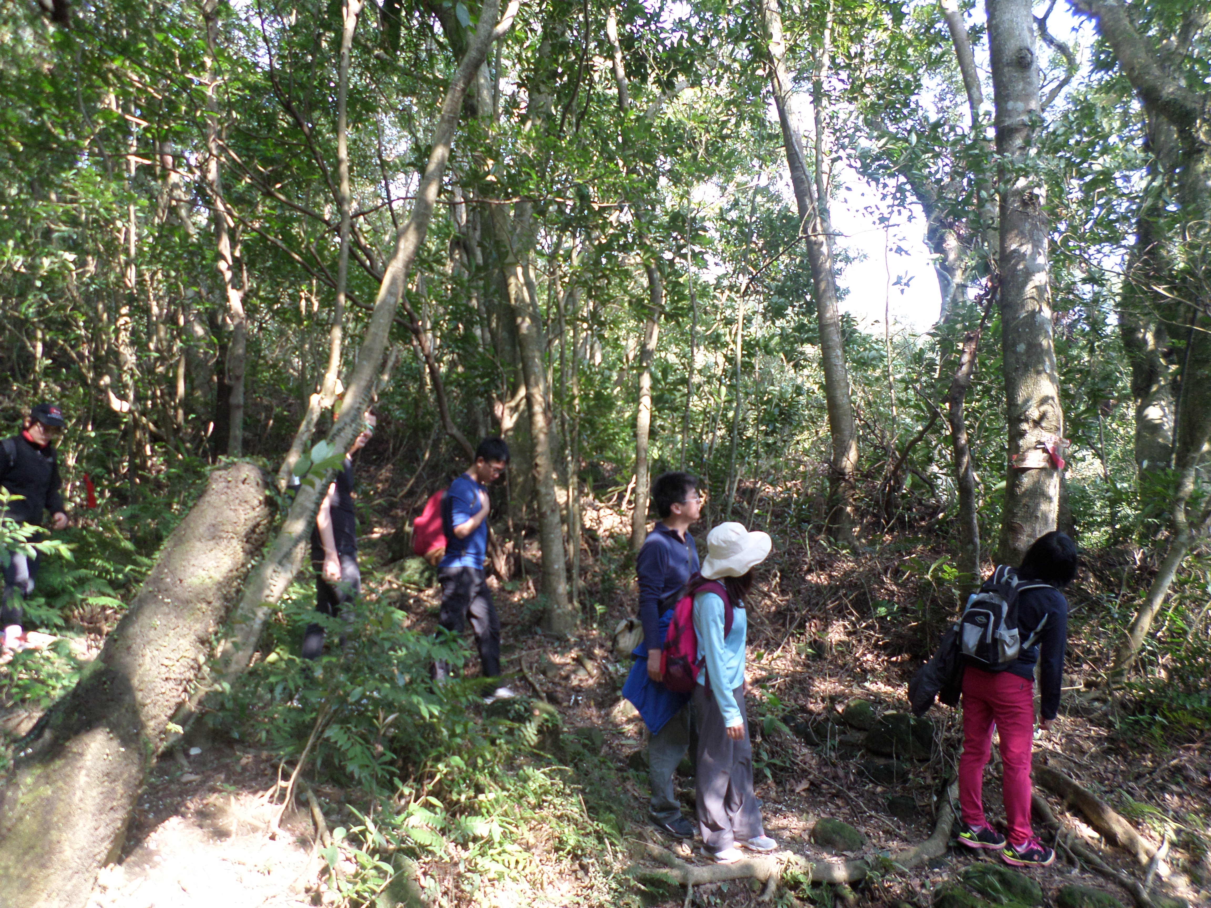
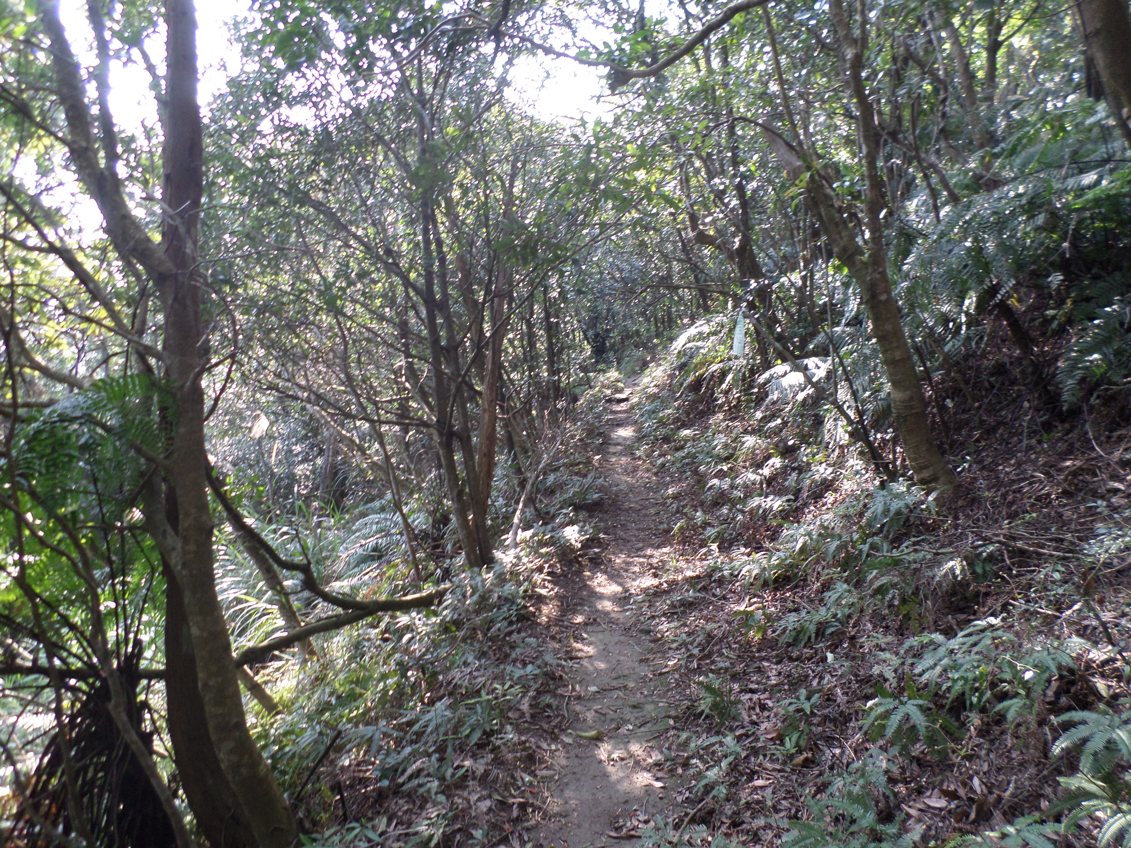
From here the trail follows a ridge that forms the border between Taipei and New Taipei. The trail is a dirt trail, mainly flat with some short up and down sections.
At a trail junction keep going straight, signposted for A-jou Rd.
A short, steep rope section will lead you up the peak of Houshanyue. Climb down the other side, turn right when you come to a shipping container, and cross the road (A-jou Rd.).
 a nice easy trail |
 take either fork here |
 go straight here |
 on the trail |
 short, steep climb at the peak |
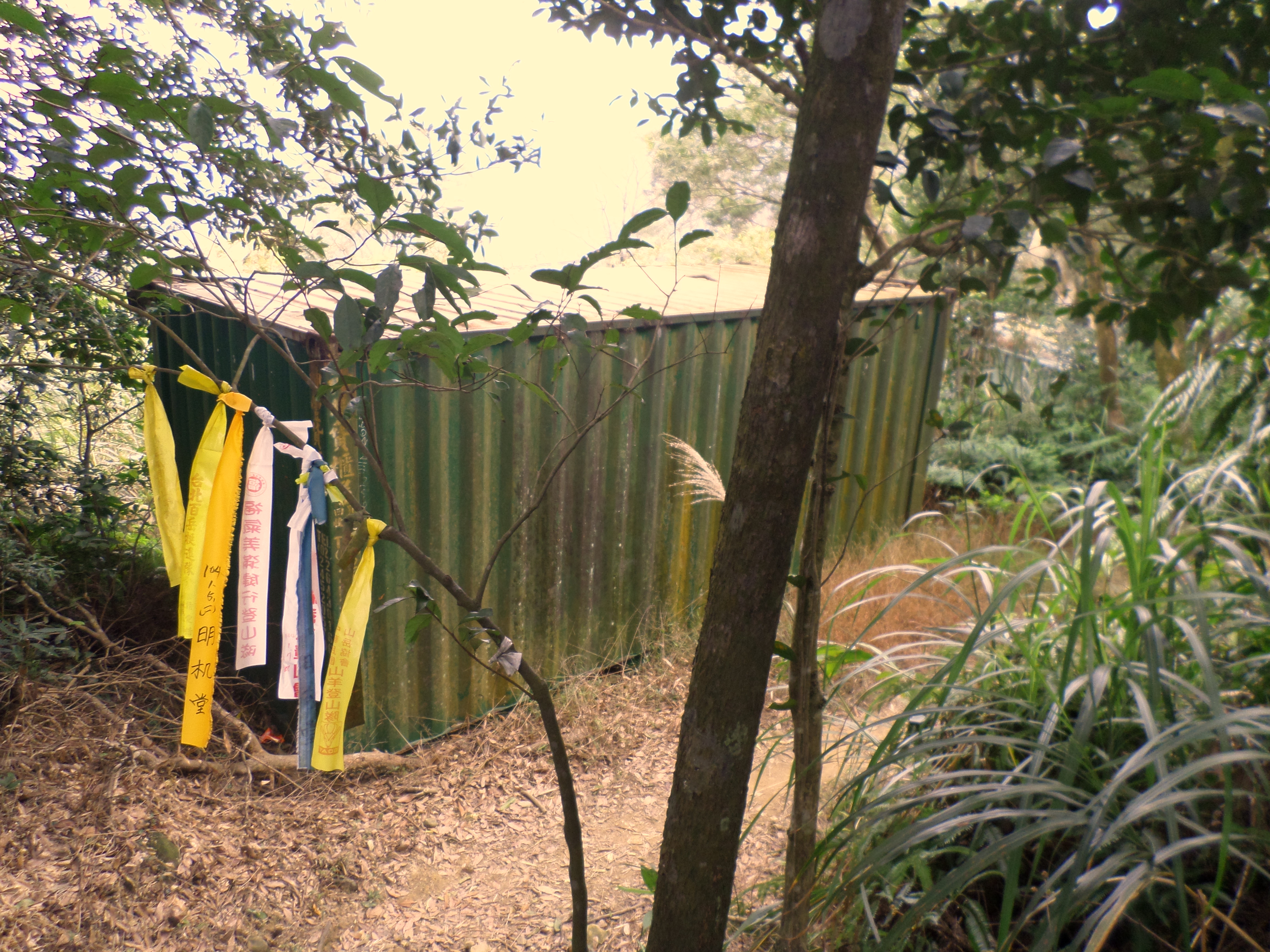 turn right at the shipping container |
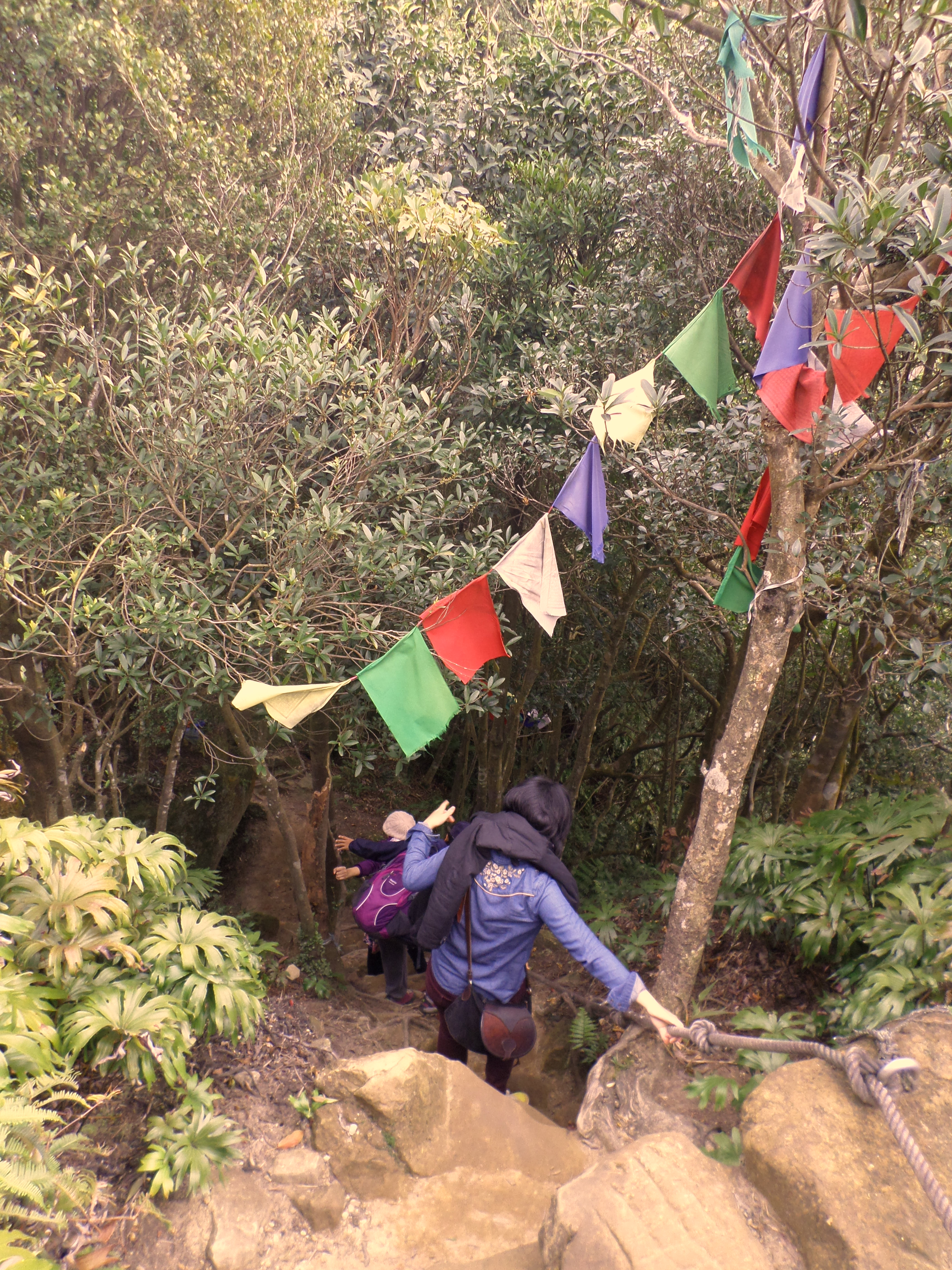
After the road, the trail follows a ledge then climbs upward. Turn left a trail junction marked only with flags. After the junction there are some steep rope sections to climb. After the ropes go straight through at a trail junction, signposted for Pi-jia Mountain.
 go left here |
 steep climb |
 another steep climb |
 go straight through here |
After this junction you’ll soon arrive at a rest area which serves a major trail junction. The Mt. Bijia ridge hike also ends at this rest area. From the rest area take the trail leading to the top of Mt. Erge, next to the trail map. The trail starts as a dirt trail and will end at some stairs leading up from the road below.

rest area, turn right here for the peak

end of dirt trail, start of steep steps to the peak
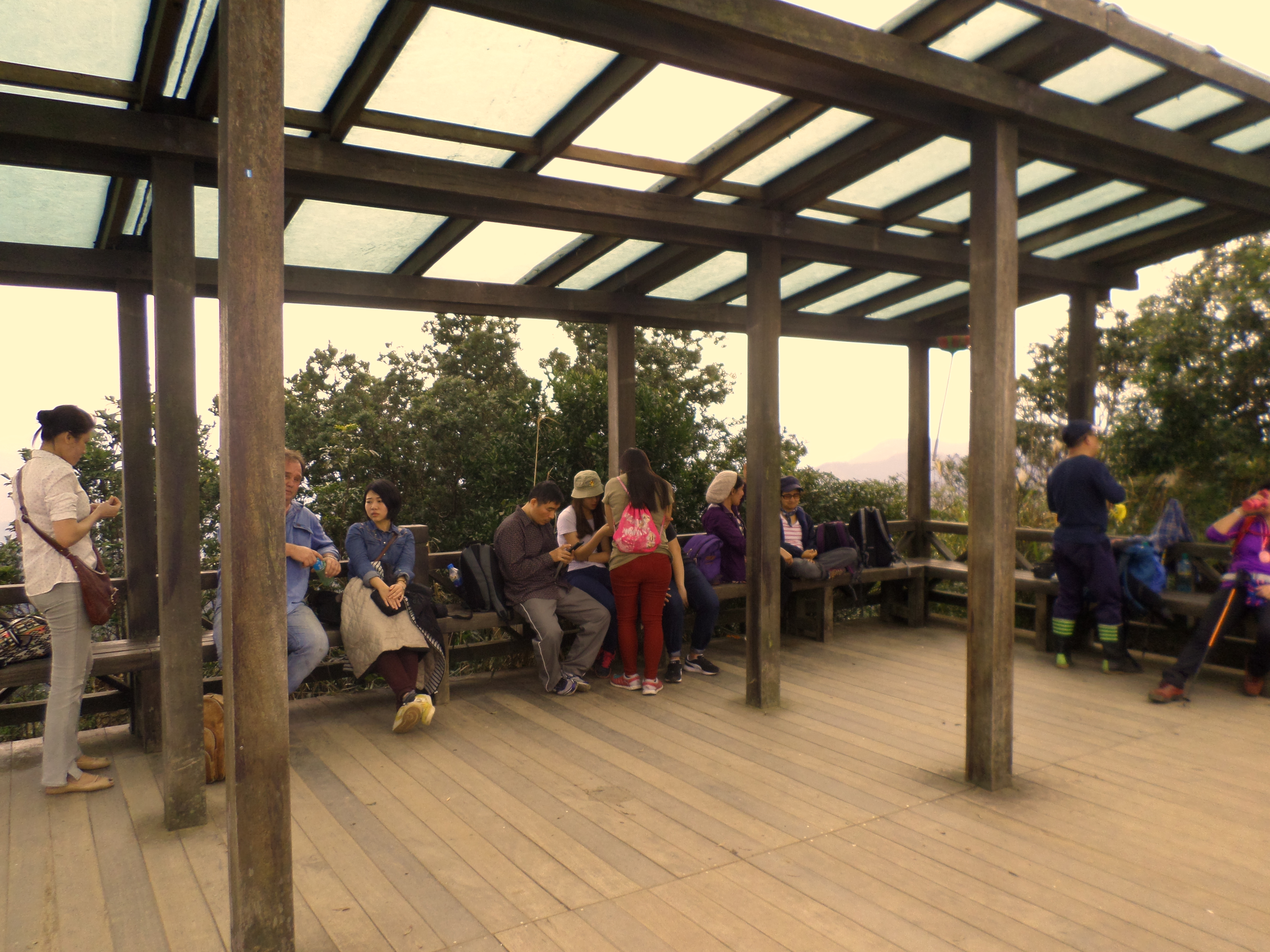
From here very steep brick stairs climb to the top. Turn right at the top and climb up the stairs to the Mt. Erge viewing platform. The views are great up here on clear days.
 Mt. Erge peak |
 trail leaving Mt. Erge peak |
From the peak it is possible to walk down Erge Rd. and catch the bus to Xindian MRT Station.
Ergeshan – Mt. Nanbangliao – Maokong Peak – Maokong Gondola Trail
After the peak the rest of the hike to Maokong is not signposted. Keep following the trail going straight from under the viewing platform on the top of Ergeshan. The trail, still made of bricks, will soon change into a wide dirt trail. The trail is fairly flat, making some small ups and downs with the aid of ropes and going over some rocks as it climbs over Mt Nanbangliao.
 steps going down from Ergeshan |
 between Nanbangliao and Ergeshan |
 trail over Mt Nanbangliao |
 trail over Mt Nanbangliao |
This section of trail ends at a service road that leads to a telecommunications tower on the top of the hill. There is also a Land God shrine where the trail meets the road. Turn right here and walk along the road towards the tower.

Land God shrine
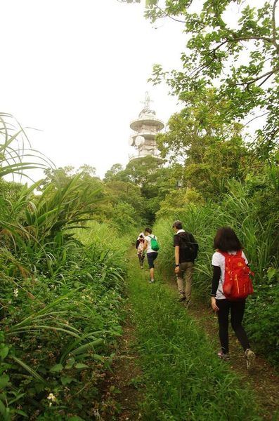
walking on the road towards the communications tower
Look for a small trail branching off from the road on the left hand side marked only by hiking flags where the road makes a sharp turn to the right and leads to the locked gate at the tower. The start of the trail may be overgrown and covered by the grasses growing on the side of the road. Cut through the grass and you’ll find the trail. Don’t take the trail starting next to the gate.

turn off the road here cutting through the grass
The trail makes a short steep descent from the road. Pay close attention and follow the flags through here. The trail leads up and over Maokong Peak though you won’t notice it. There is nothing marking the peak and no view.

trail from the road to Maokong peak

trail to Maokong peak
From the peak the trail descends then comes to a trail junction, marked only by flags and signs attached to the trees in Chinese only. Turn left here. There is a short, steep rope descent after the junction.
 flags marking the trail junction, turn left here |
 rope descent after the trail junction |
A short distance from the junction the trail turns away from the ridge and leads through a bamaboo farm. After the bamboo farm there is another trail junction marked again only by flags and signs in Chinese attached to the trees. Turn right here.
 going through a bamboo farm |
 turn right here after the bamboo farm |
From the junction the trail is mainly flat with a steep drop off on one side. Keep going straight at trail junctions and also through a small clearing and a junction with another trail. The trail continues to be mainly flat with a drop off as it nears Maokong. Just before the trail reaches a covered rest area, take a trail branching off on the right, which leads up to a view point in less than a minute.
 trail along the hillside |
 go straight through here |
 trail along the hillside |
 turn right here to reach the viewpoint, then return and keep going straight |
The view point has a good view of the Maokong Gondola Station down below. From the view point return down to the trail and walk to a covered rest area at the top of a long staircase. From the rest area a long set of stairs leads down to the gondola station, passing a tea field as it nears the bottom.
 viewpoint |
 go straight through the rest area |
 lots of steps down to Maokong |
 going down past a tea field |
Leave a comment
