Stone Bamboo Shoot Peak
Pingxi District, New Taipei City
Introduction: This hike circles around the mountain climbing over another small peak and taking a narrow, rough trail along a small stream through a heavily forested valley; then climbs over the rocky, pointed peak with excellent views.
Access: take bus 795 from Muzha MRT Station to Jingtong
795 bus schedule: http://www.tpebus.com.tw/image/5163.2.pdf
795 route map: http://www.tpebus.com.tw/image/lineimage.php?imagetest=5163.2
Length: 8km, 5 hours
Difficulty Level: 3/5, strenuous
Trail Conditions: stone trails around Stone Bamboo Shoot, lots and lots of steps, short steep rope climbs to the peak; narrow, rough, and slightly overgrown dirt trail along the stream. The hike is well signposted.
The Hike
Follow the tracks leading out of town until you come to a small road turning off on the left crossing the tracks. There are signs and a trail map here.
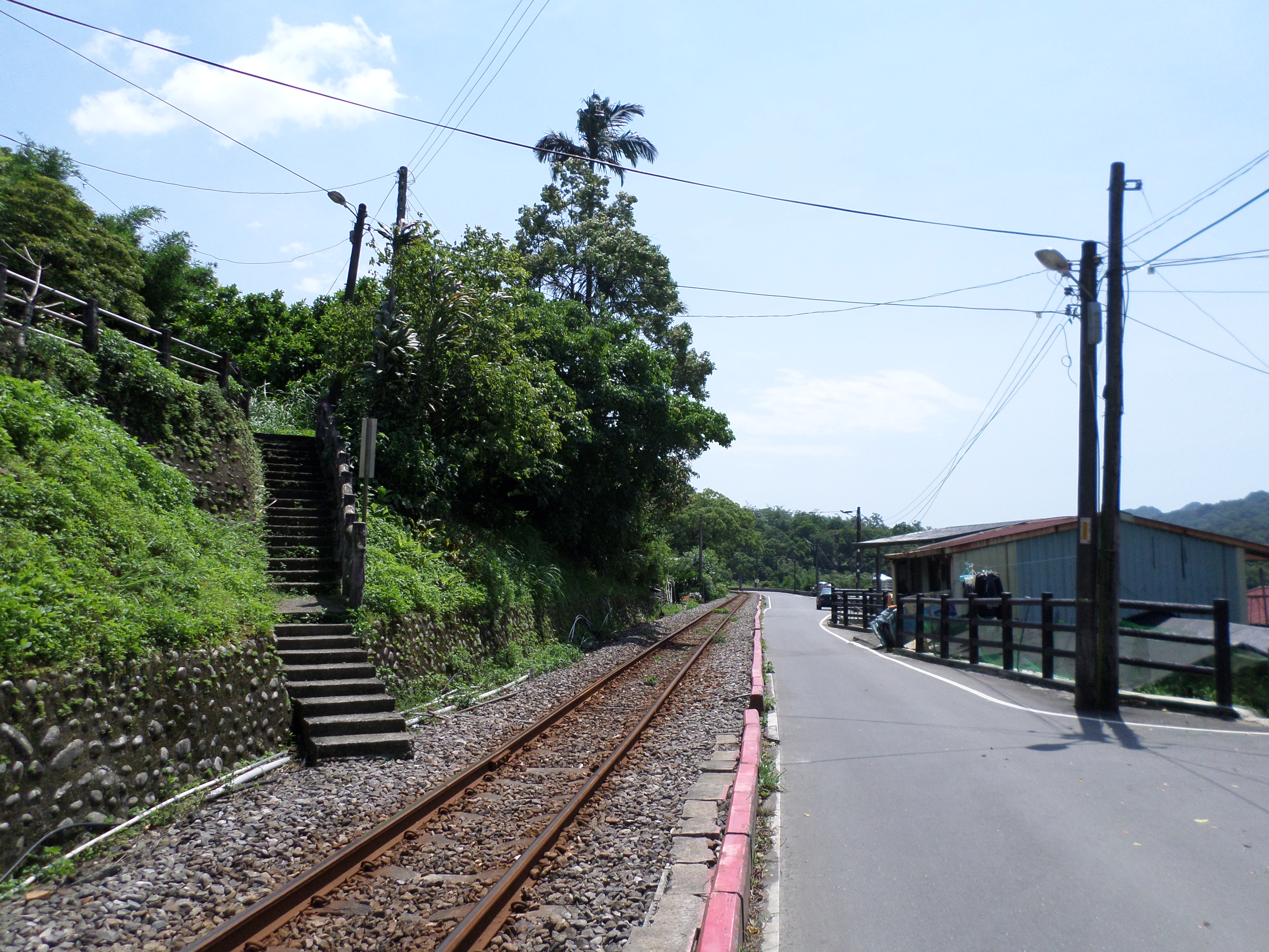
follow the tracks out of town
turn left here
Follow this short road passing a few houses at the end.

follow the road past the houses
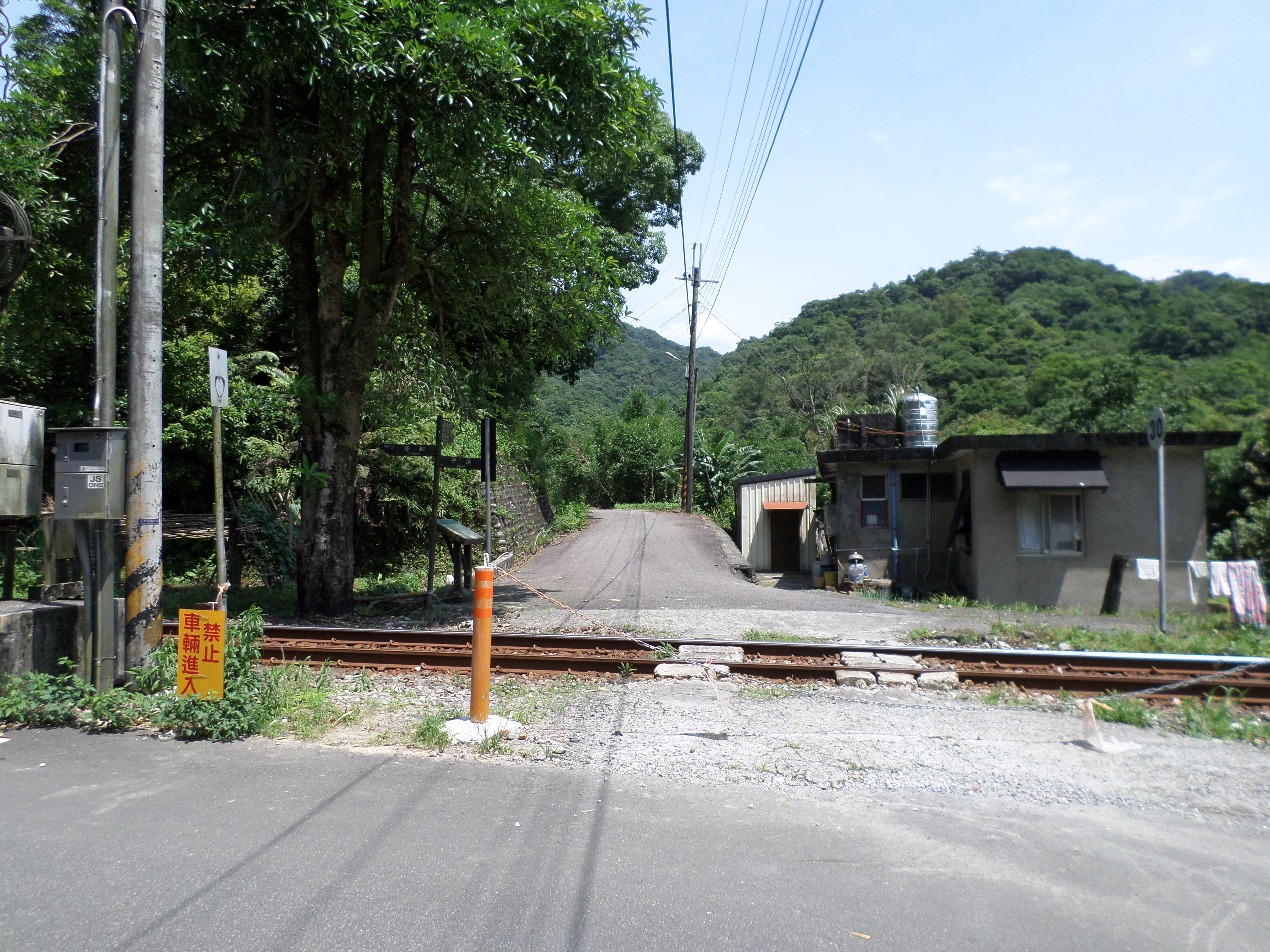
The trail starts after the last house. There is another trail map here too.
start of the trail at the end of the road
The trail leads up away from the houses and passes a couple of Land God shrines. There is a trail junction at the second shrine. Turn right here, signposted for Sankeng Mountain.
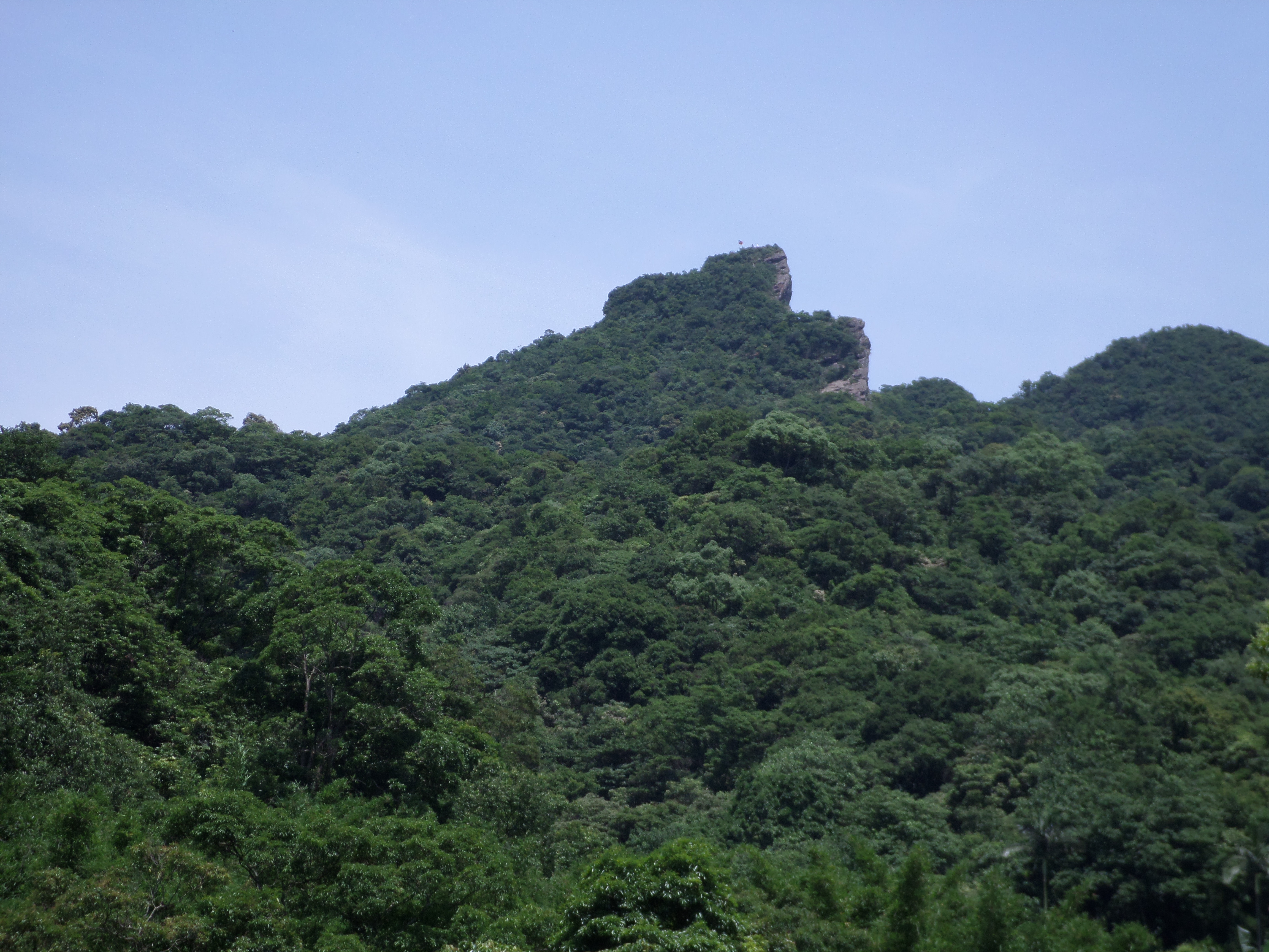
Stone Bamboo Shoot peak
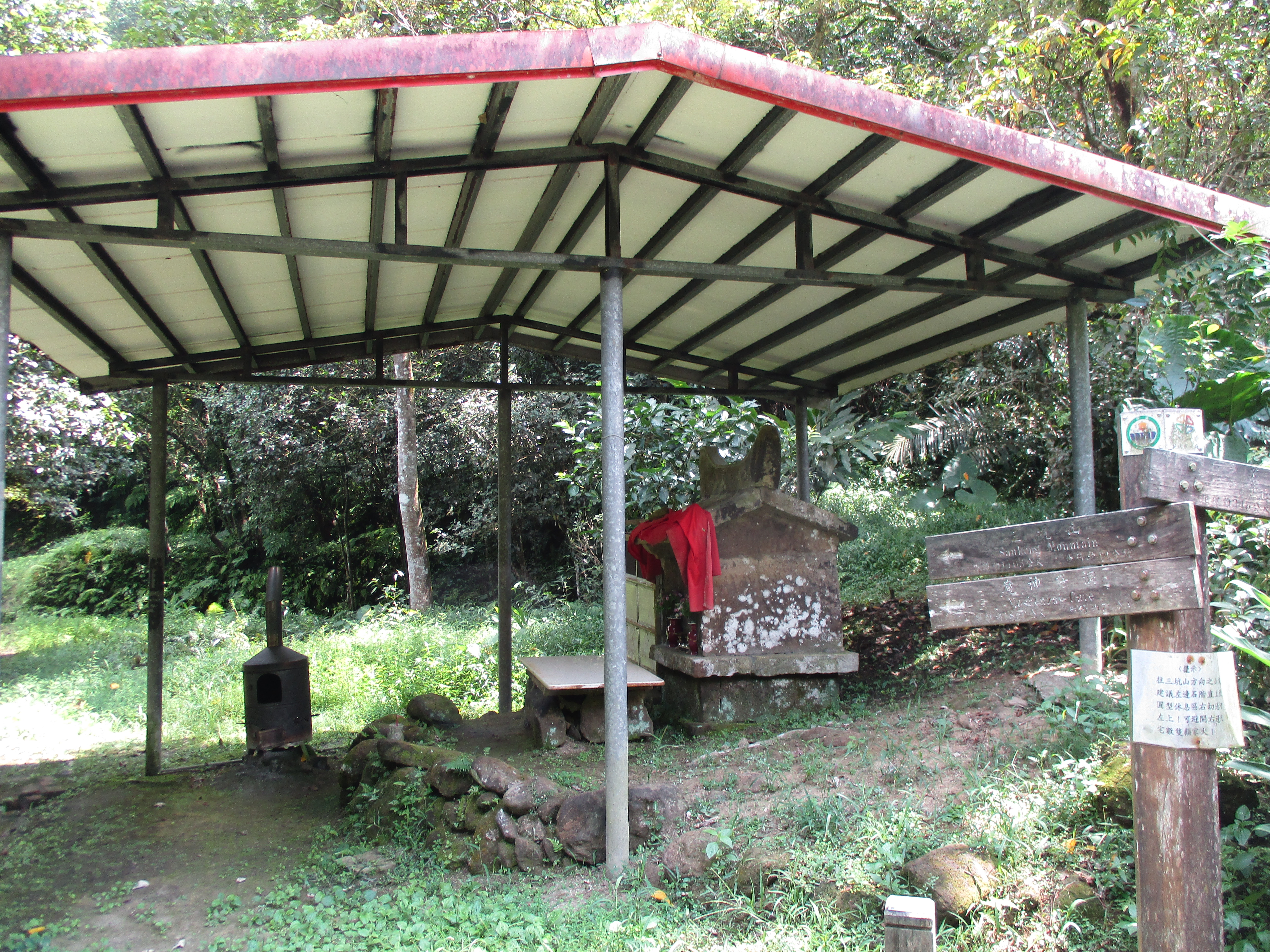
Land God shrine, turn right here
From the shrine this short trail soon ends at a house at the end of a road with several angry dogs on short leases. Don’t let them scare you when you come up the stairs to the house. There’s one on left hand side at the top of the stairs. Turn left at the house.
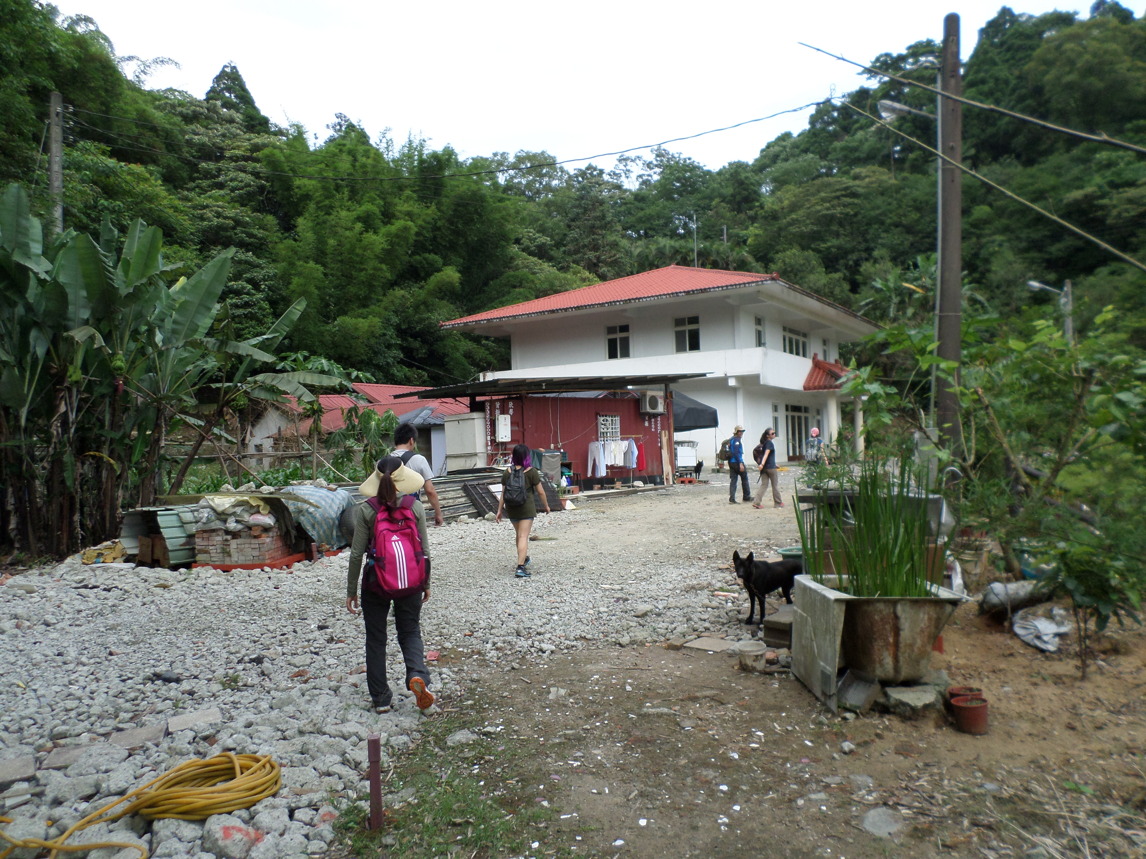
house, turn left here
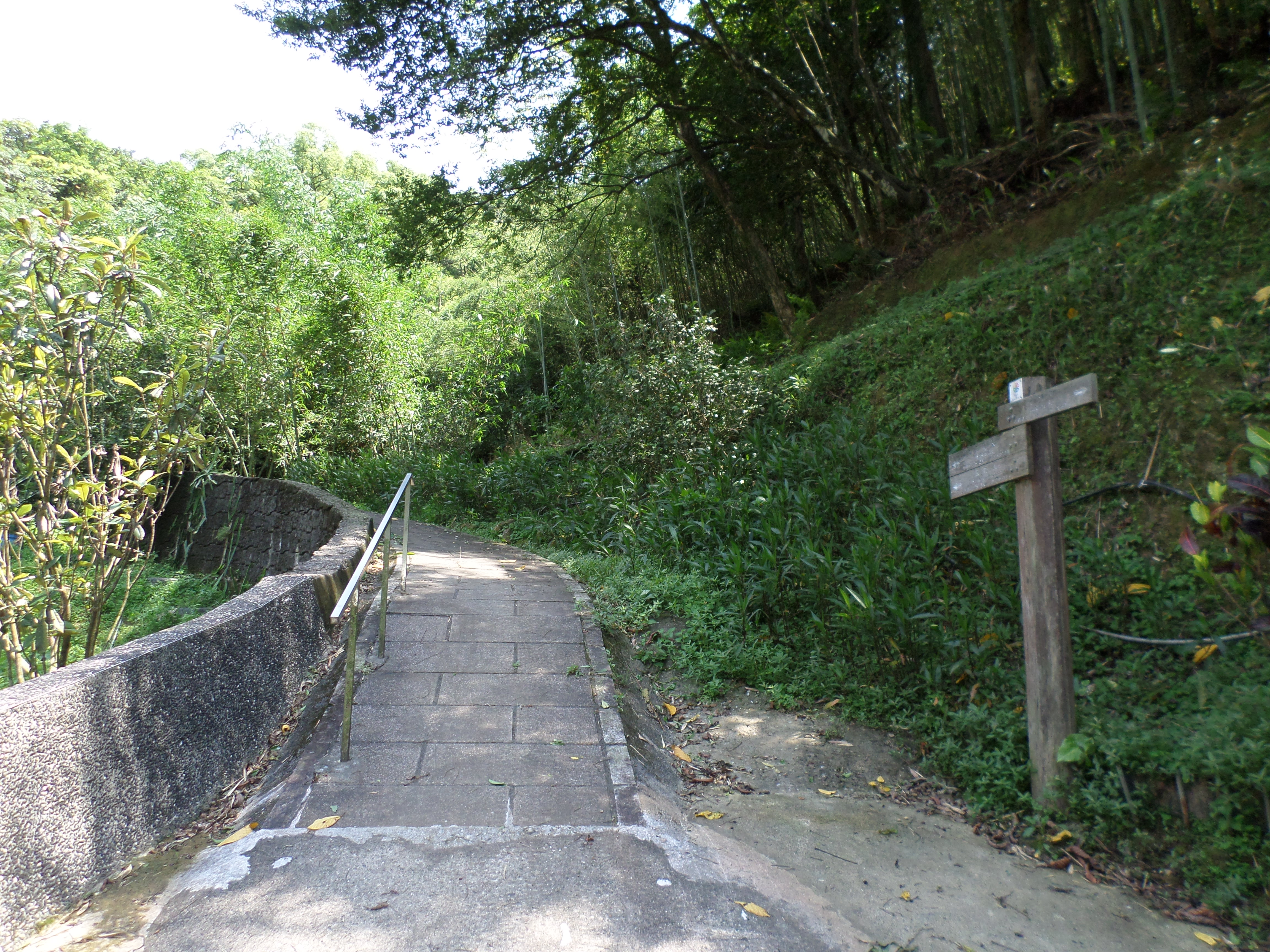
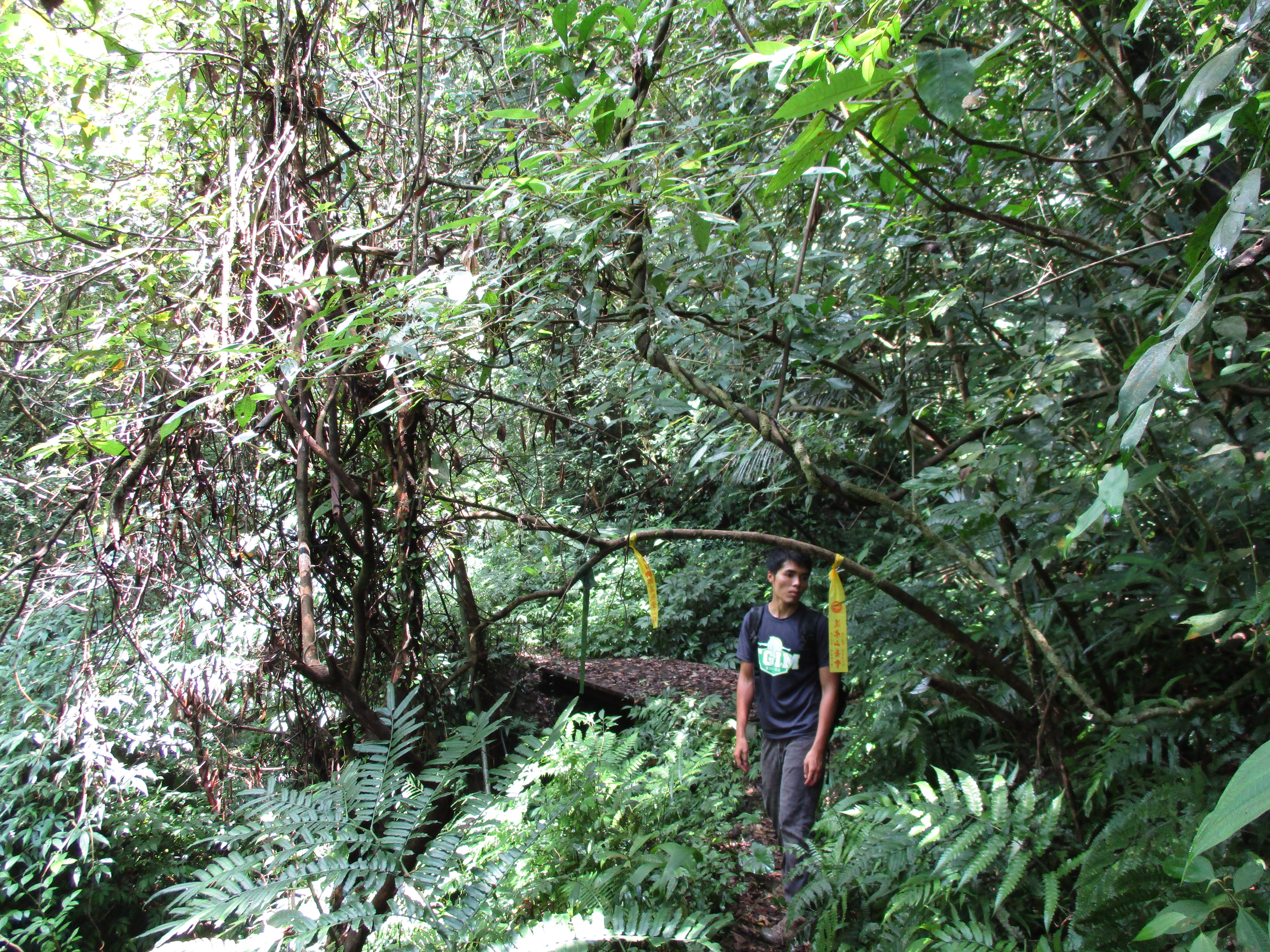
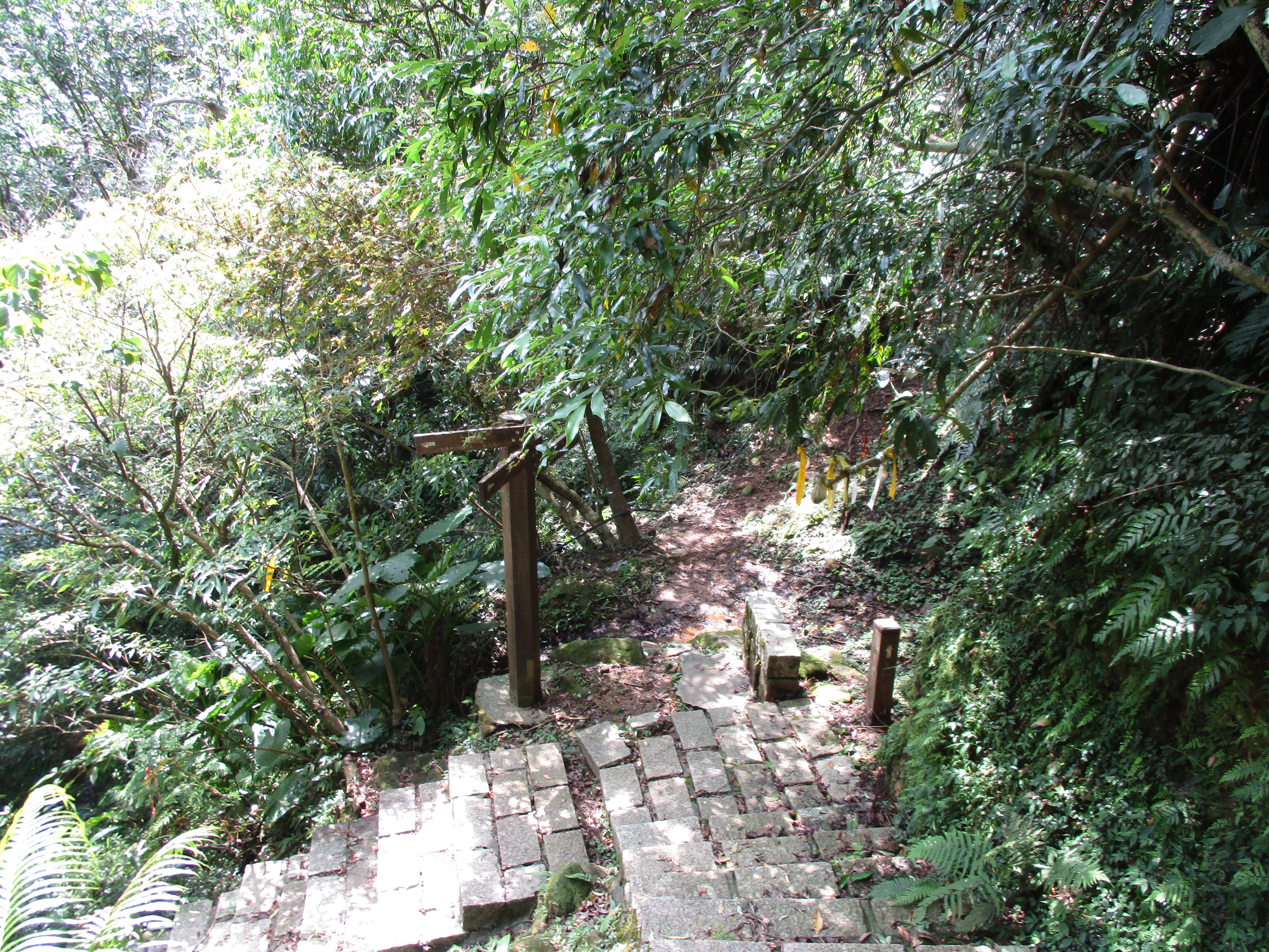
A trail that follows the small stream up the valley starts from the house. From the start the trail soon passes a locked entrance to a cave temple then becomes increasingly narrow and rougher. Pay attention to the hiking flags marking the trail as it becomes overgrown in places. The trail crosses a stream over a wooden bridge.
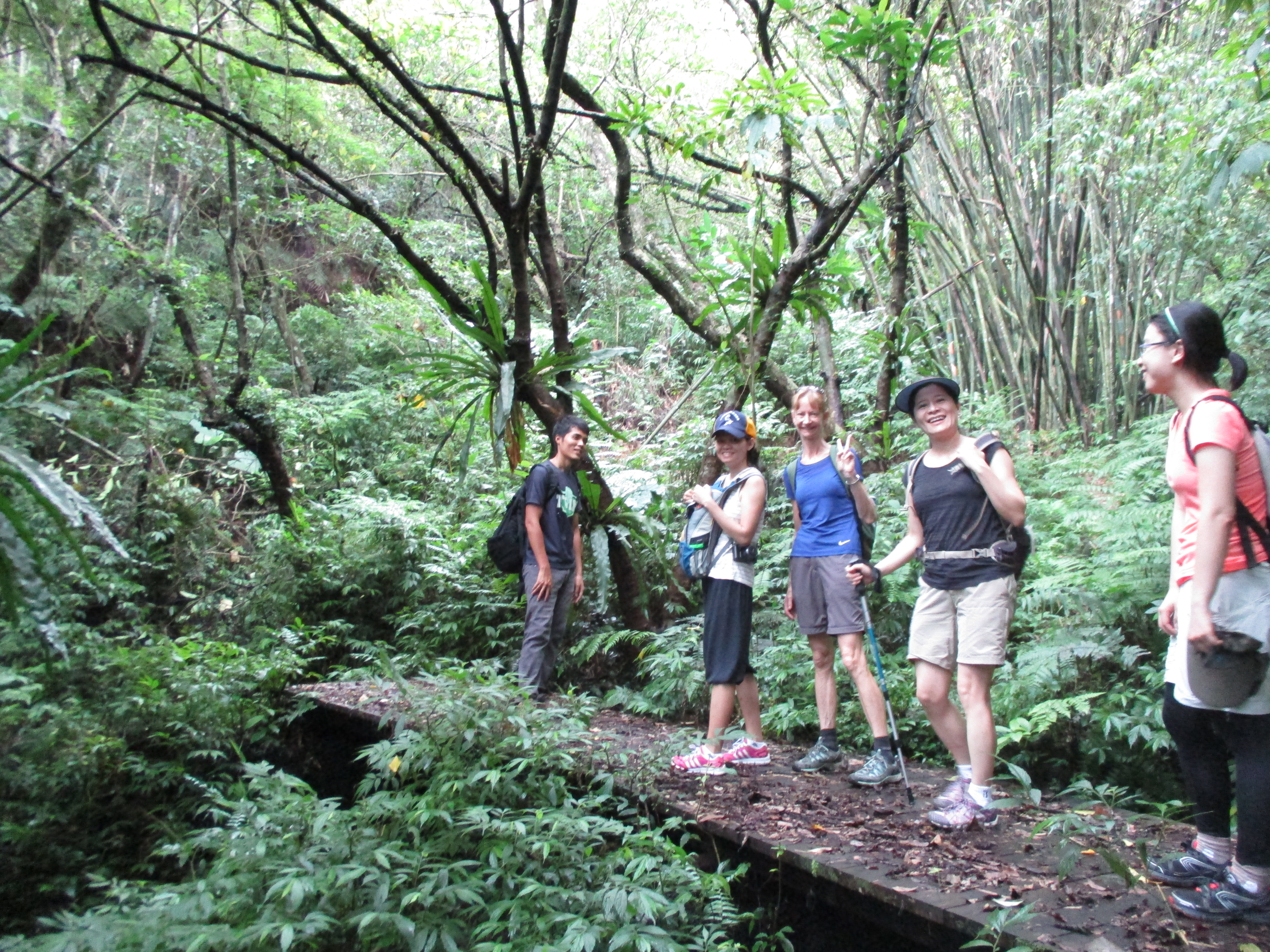
wooden bridge
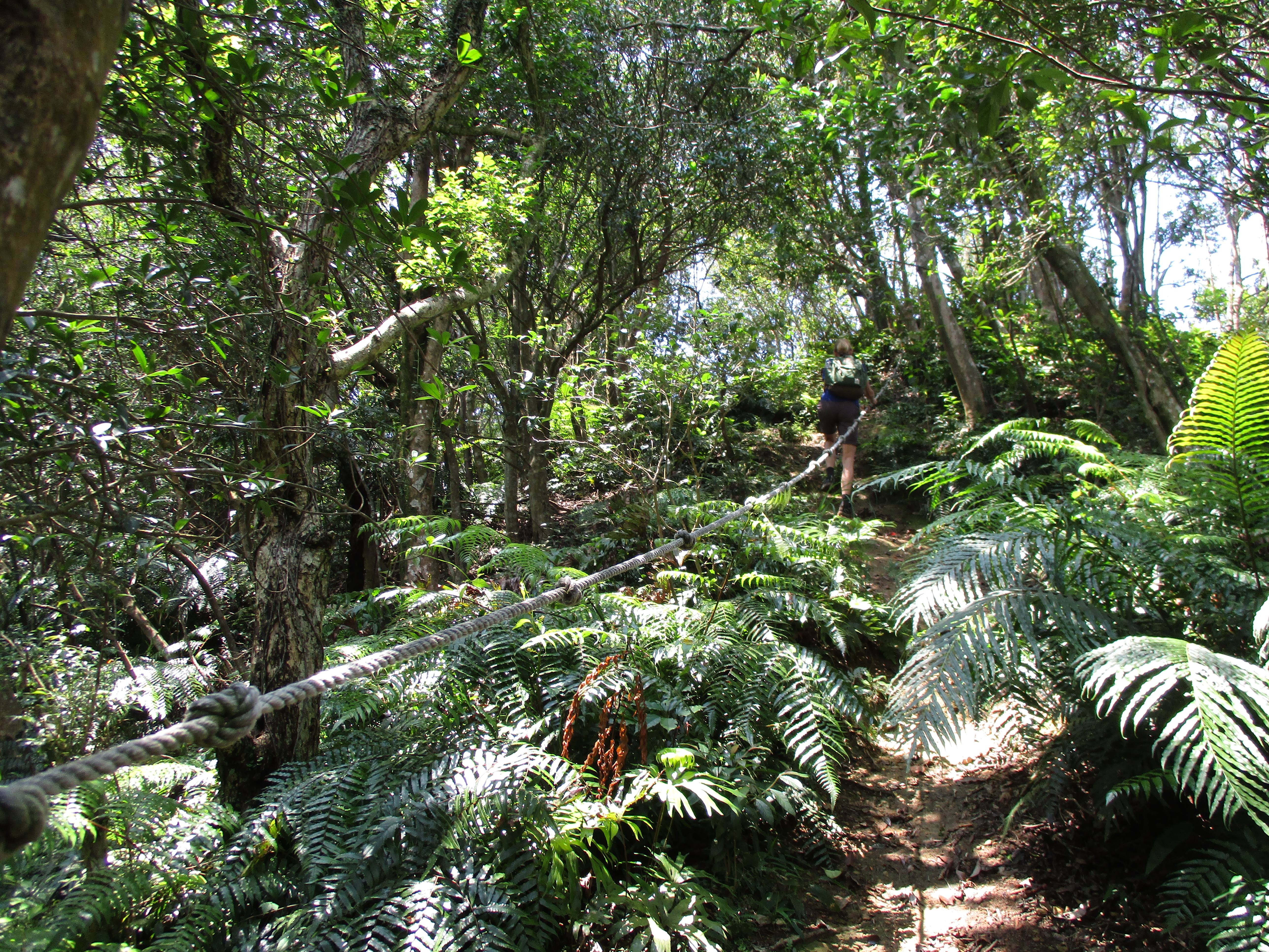
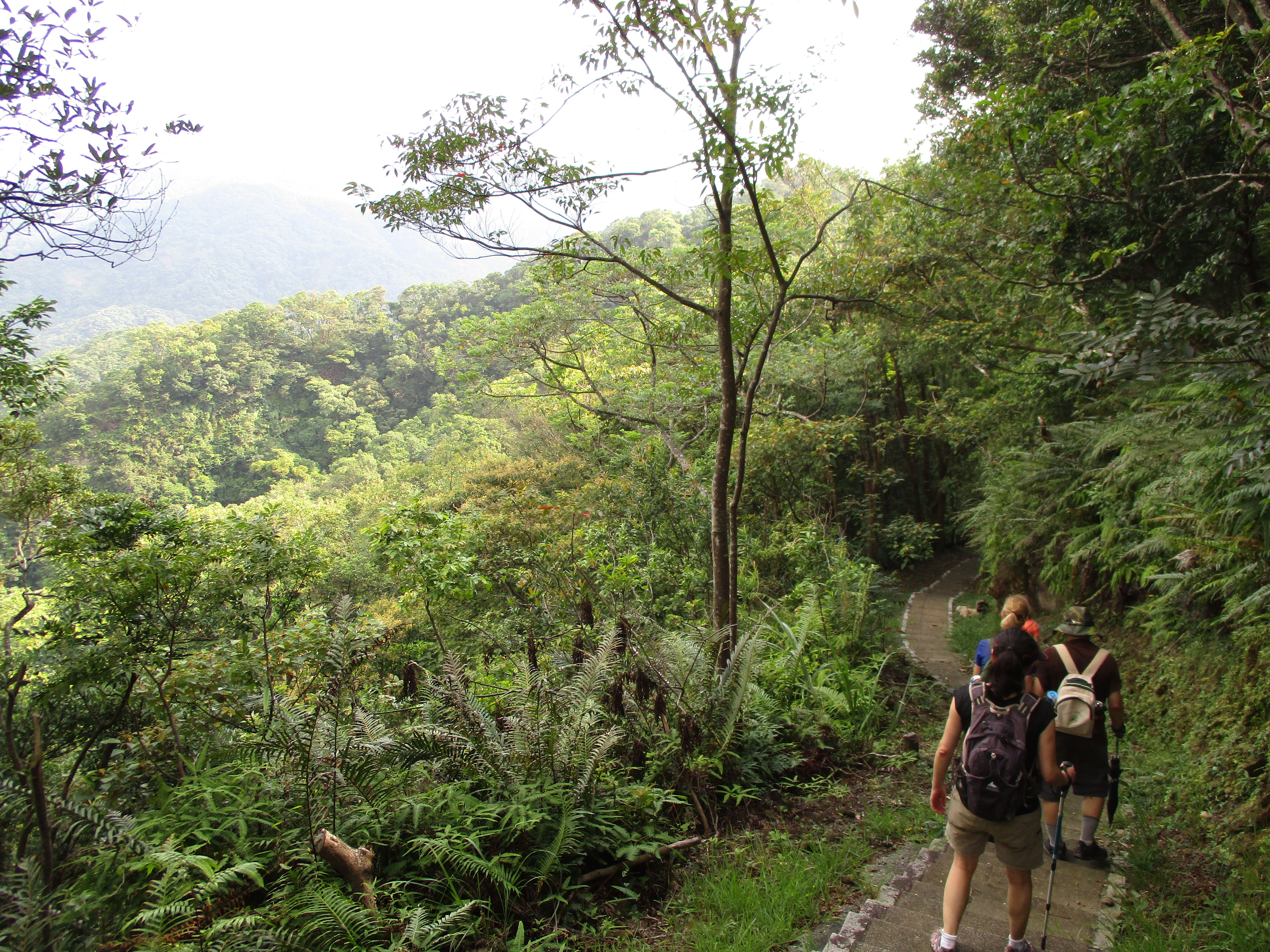
The trail then goes alongside the stream on a narrow ledge with a safety rope.
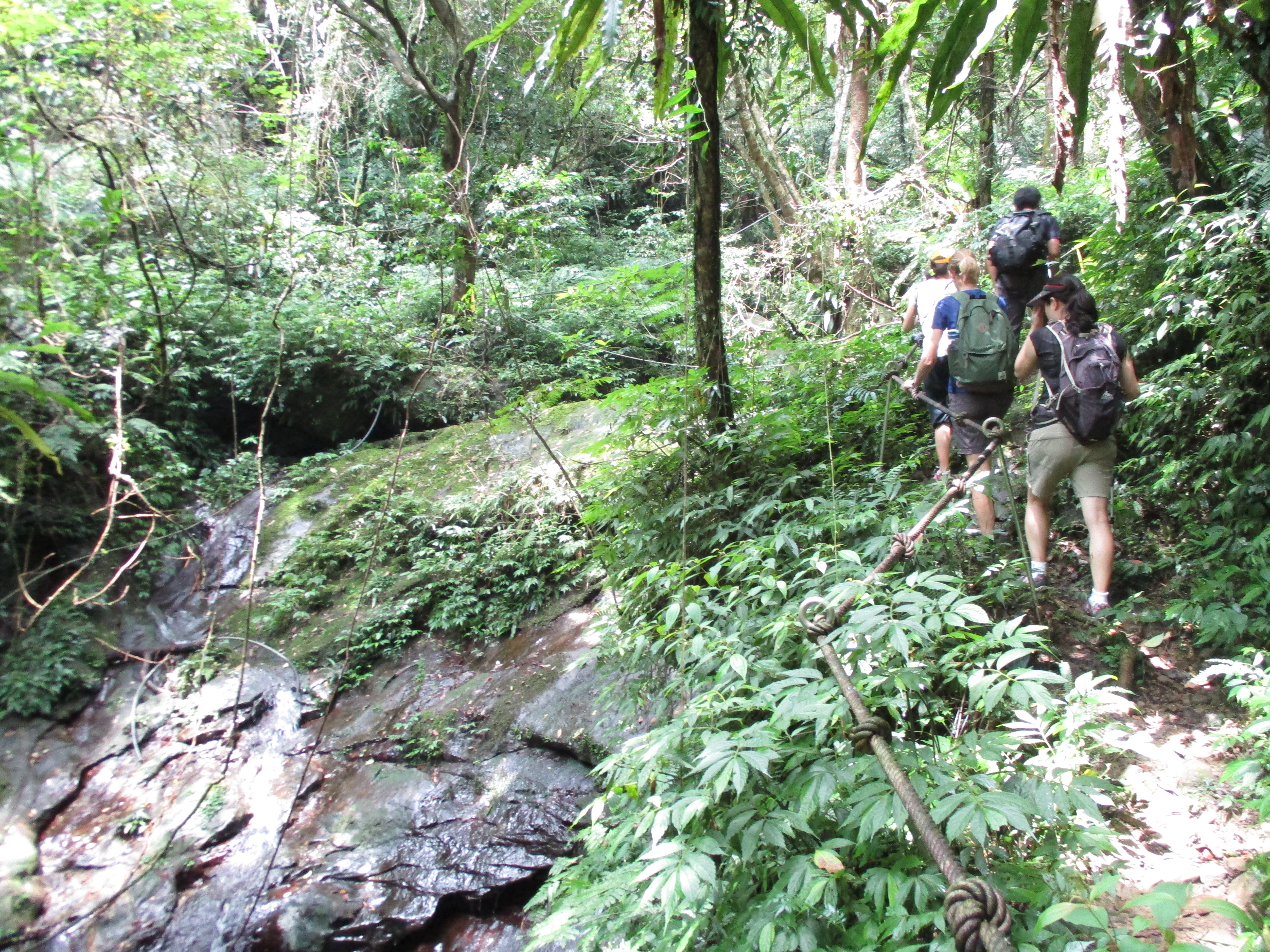
trail following the stream
The trail then makes a short, steep climb away from the stream followed a couple more wooden bridges.
another wooden bridge, keep following the flags
Continuing upstream the trail will cross the stream numerous times.
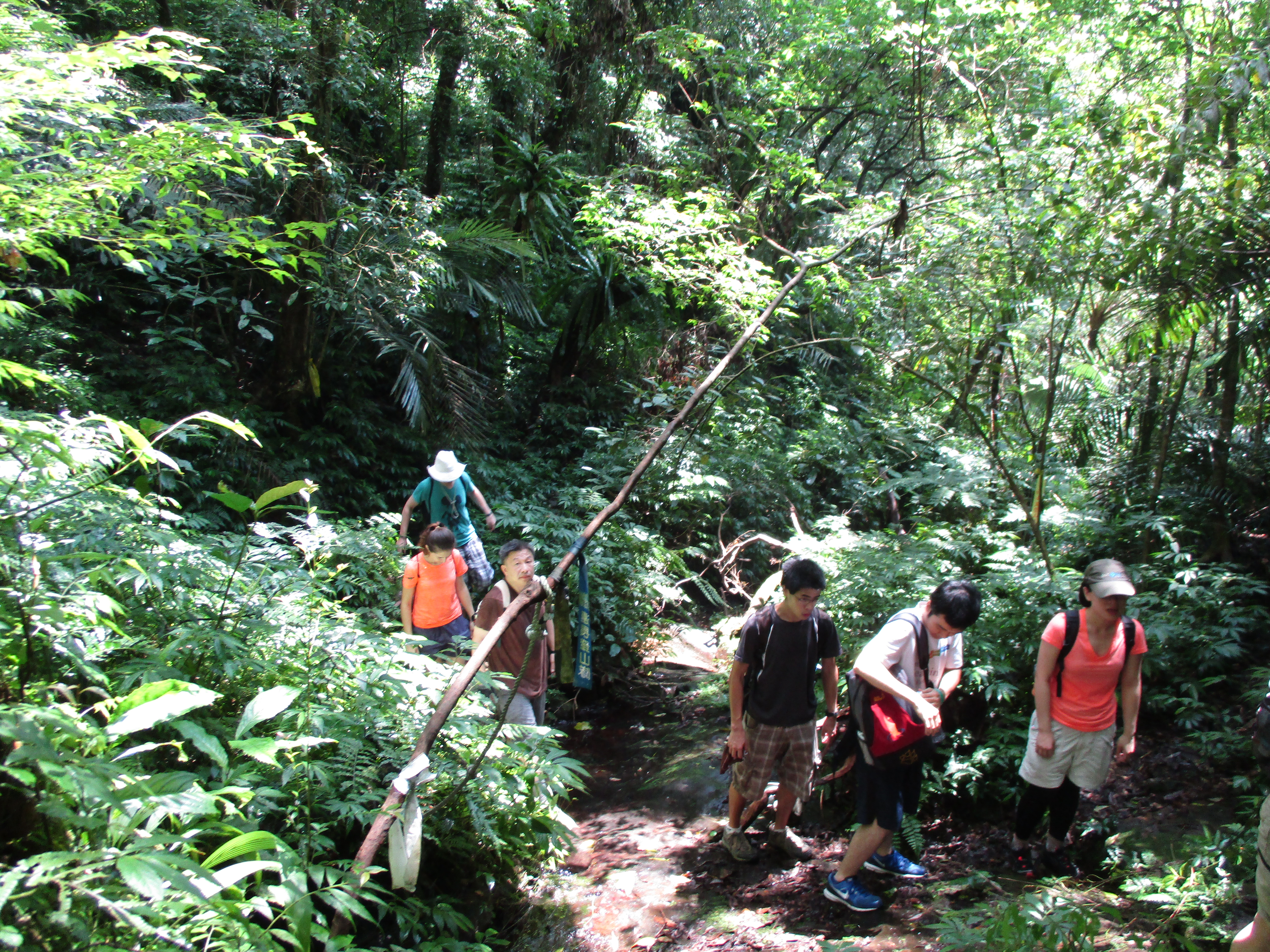
stream crossing
another stream crossing
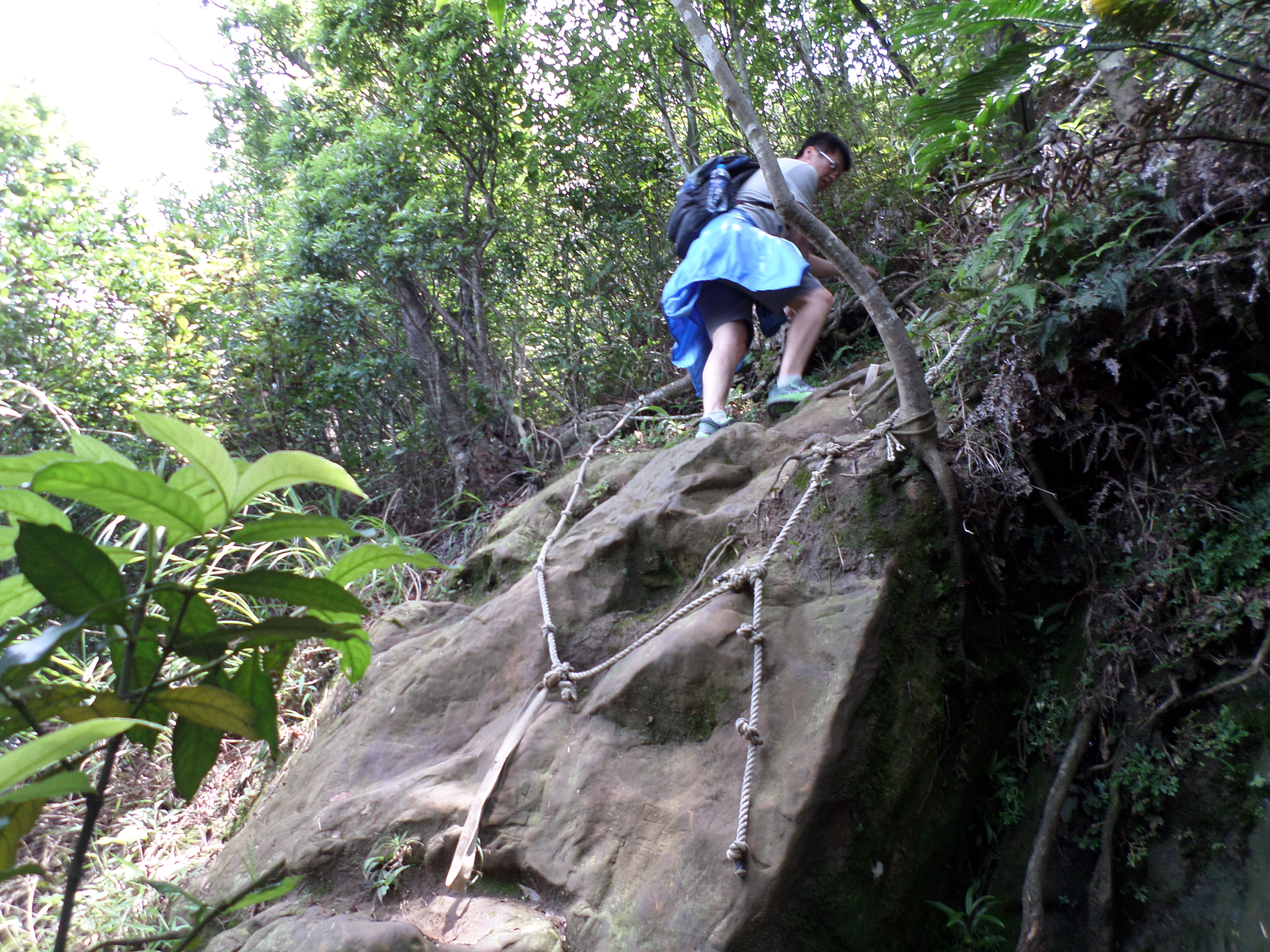
Eventually the trail makes a short, steep climb away from the stream with the aid of ropes.
rope climb away from the stream
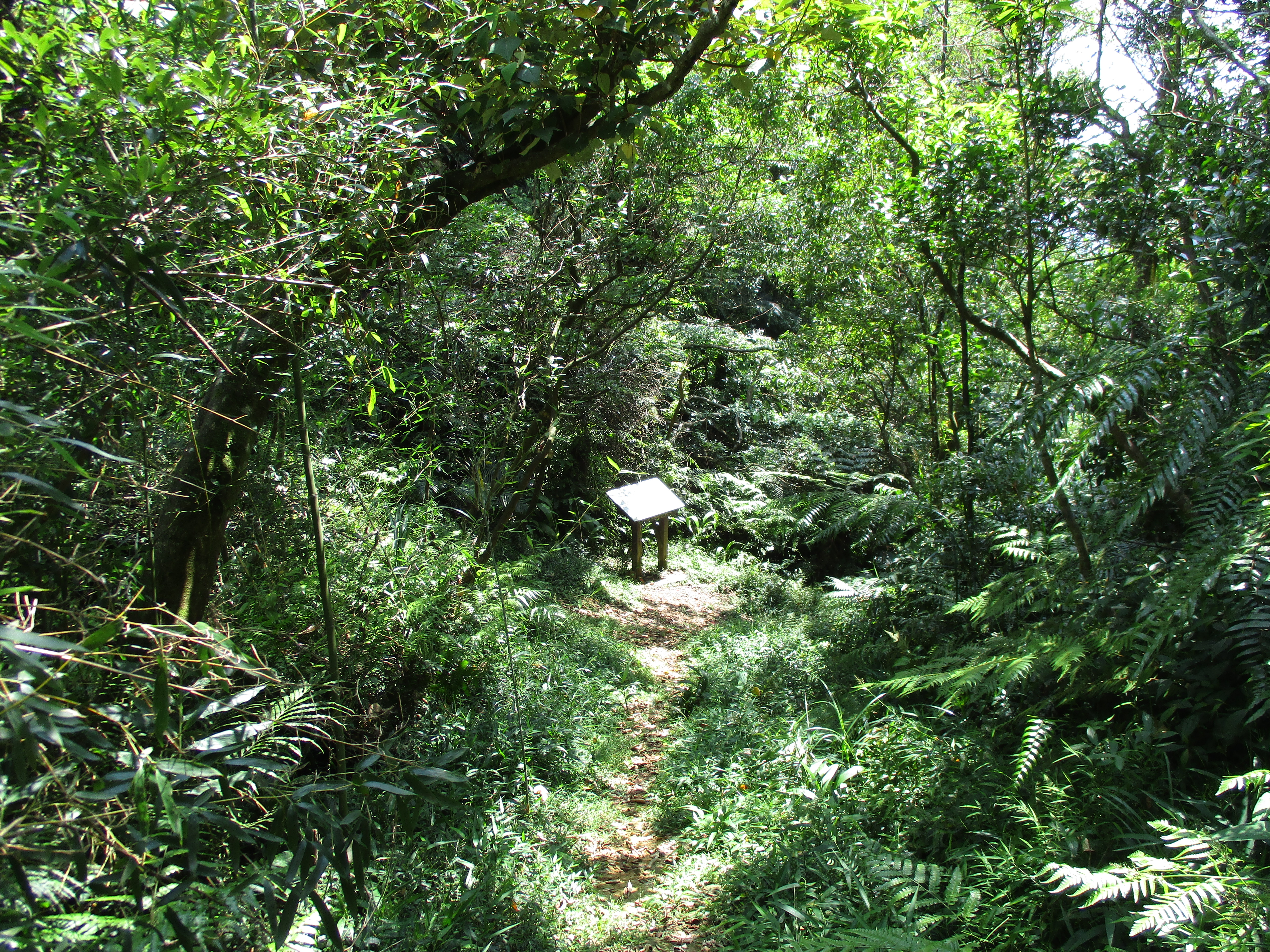
At the top there is a trail map and the trail makes a left turn here. (Another trail leads to the peak of Sankeng Mountain.)
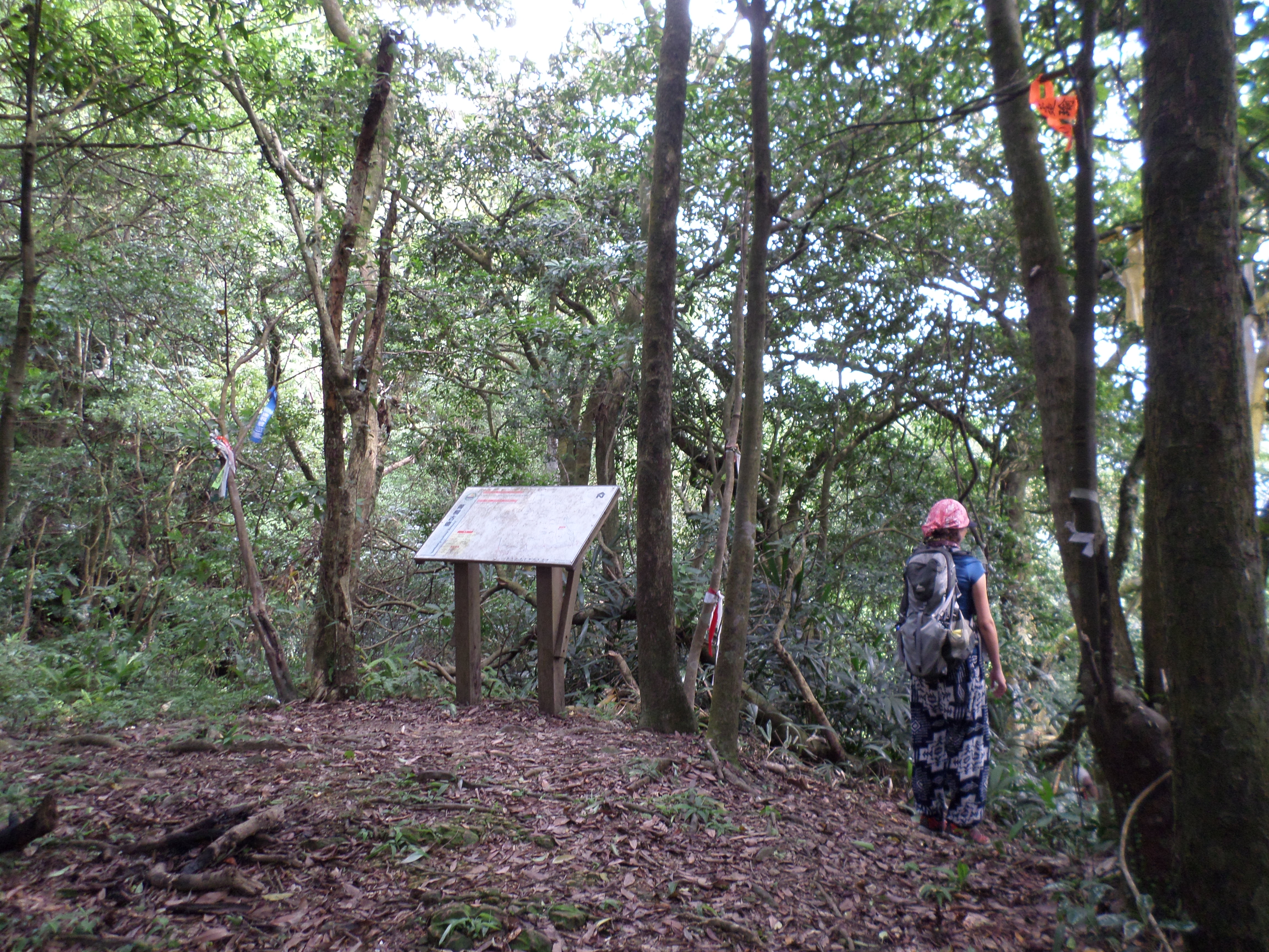
near the peak of Sankeng, turn left here
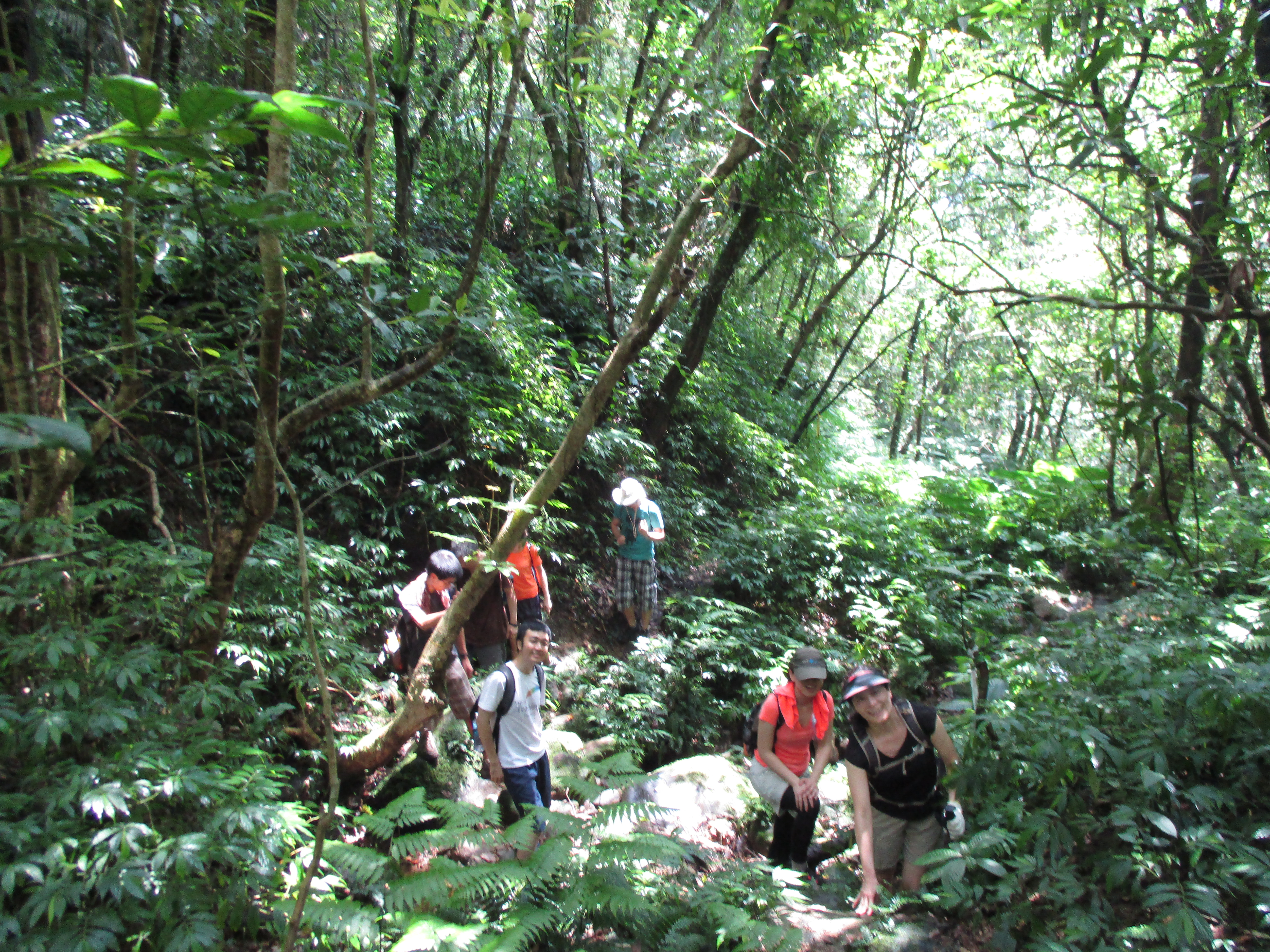
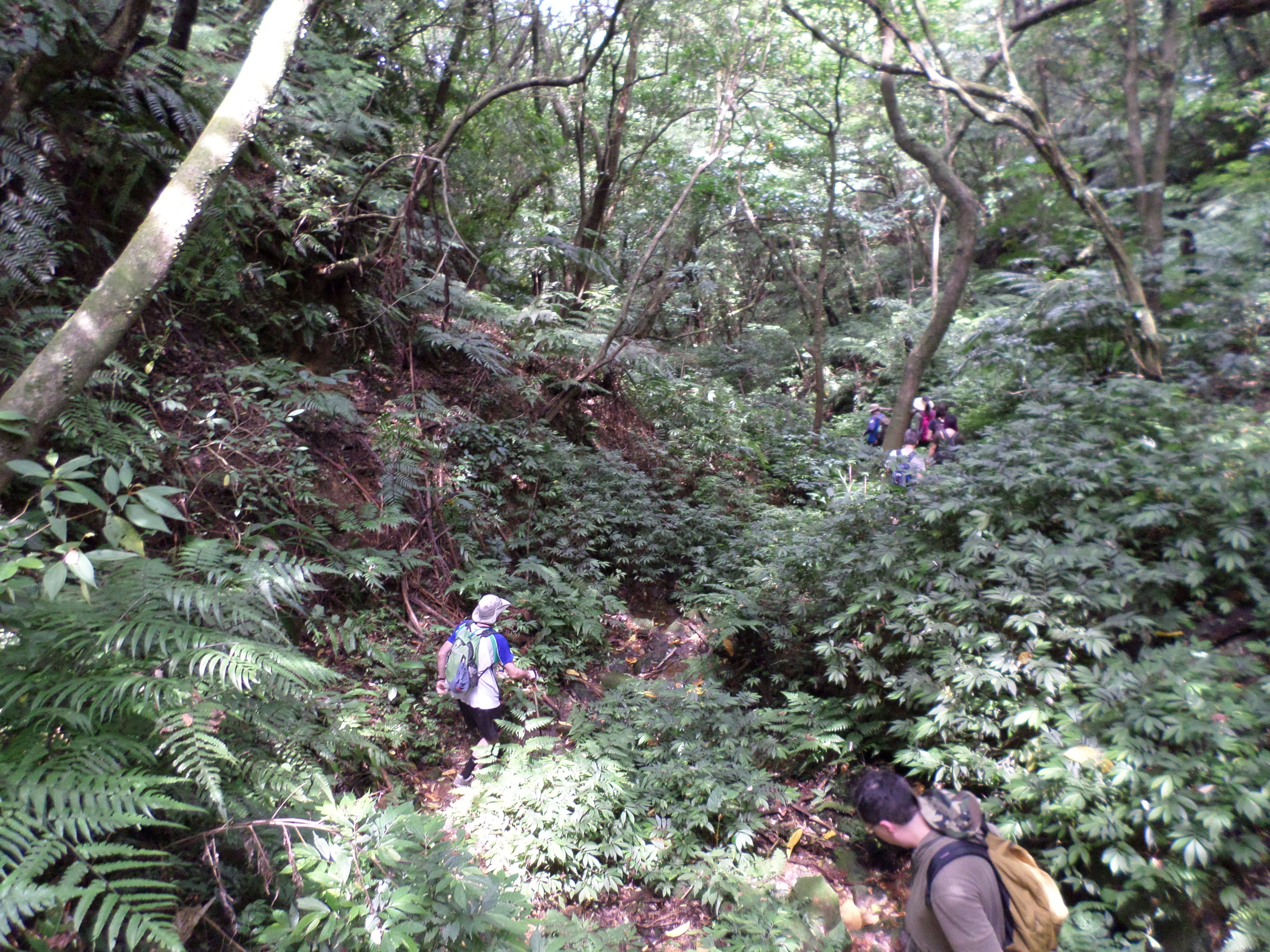
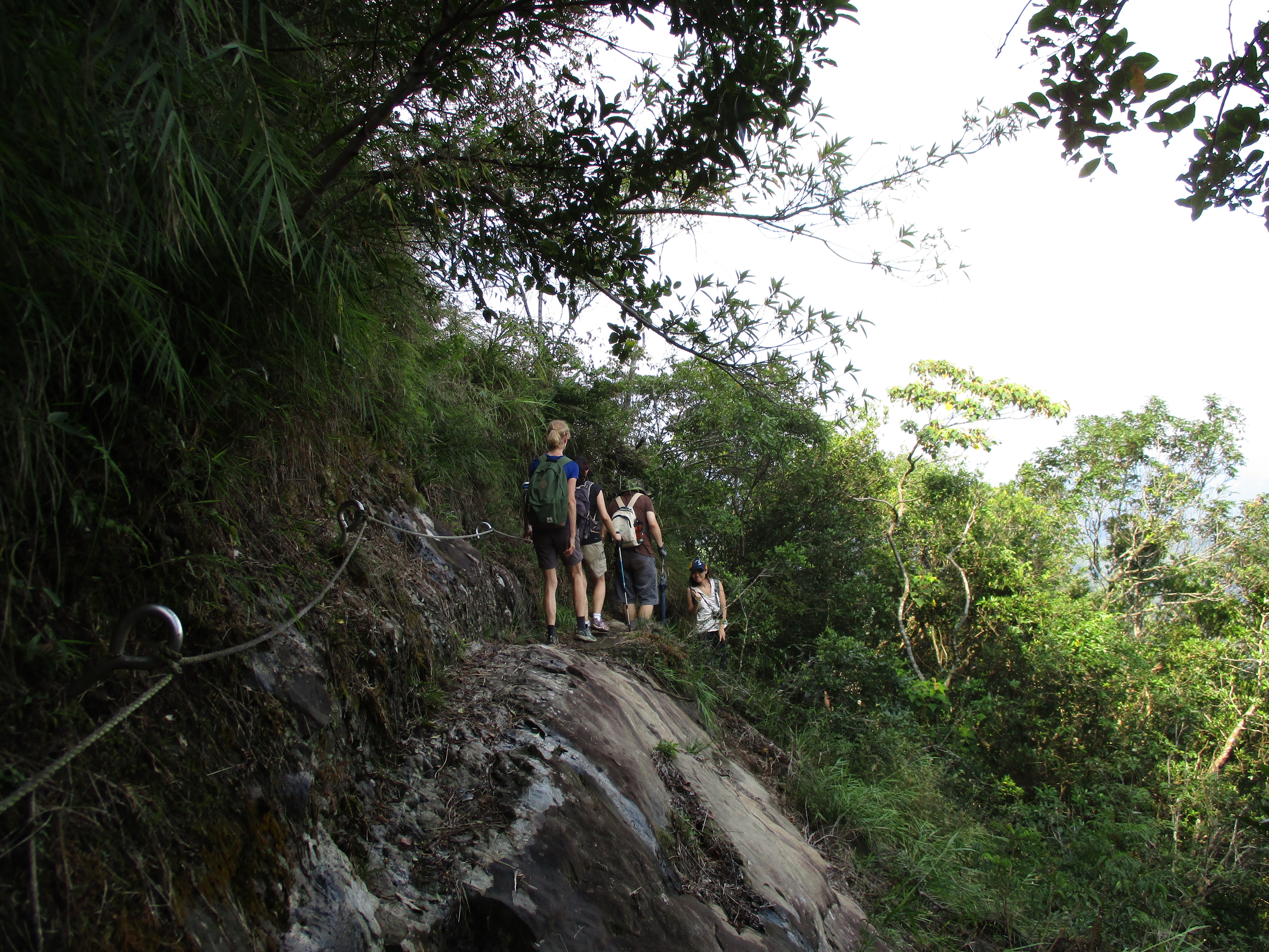
Going away from Sankeng the trail goes along the top of the ridge, dipping down then going back up again.

trail leading away from Sankeng
The trail rejoins the now very tiny stream and makes several more crossings.
hiking along the stream again
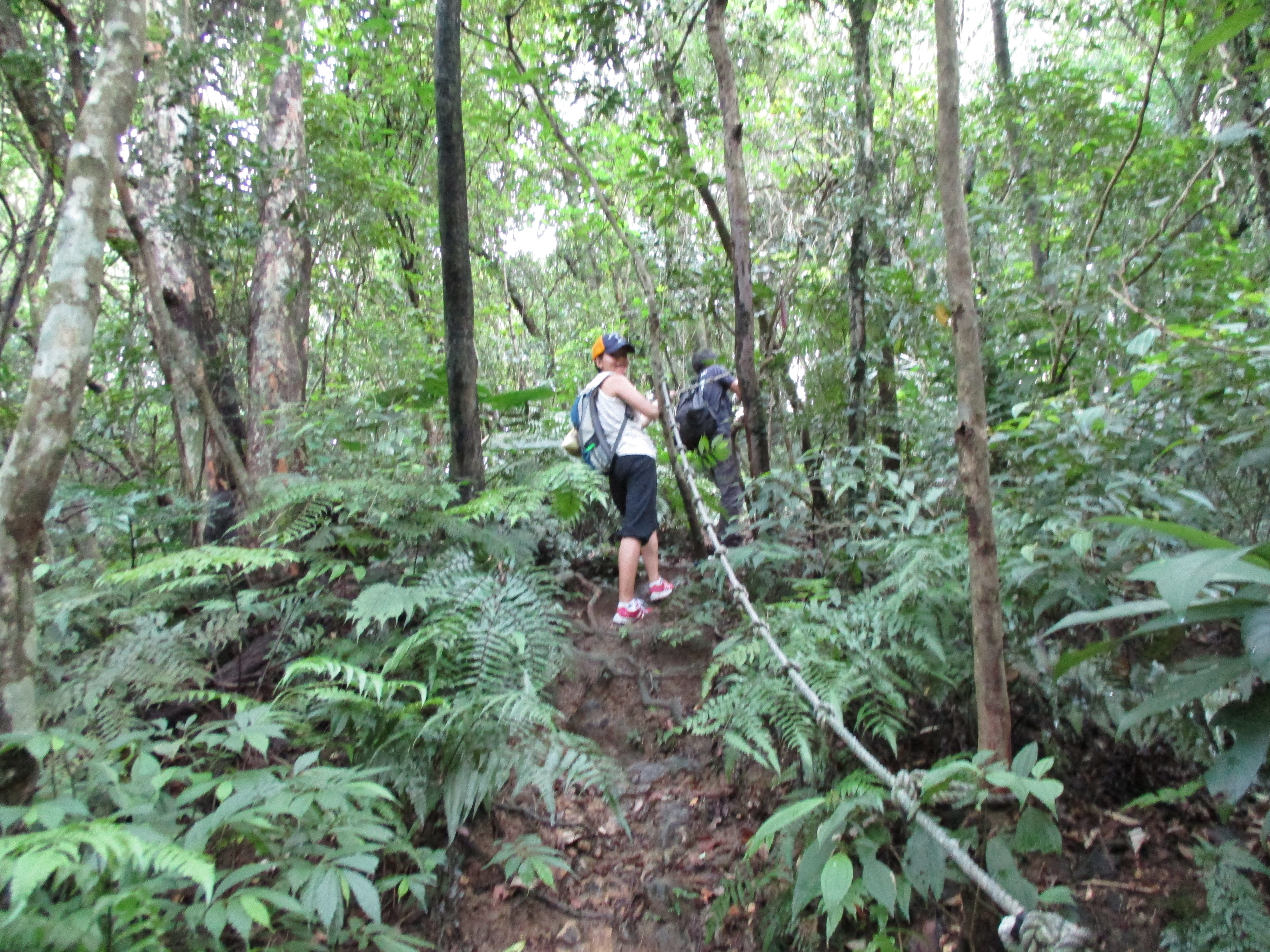
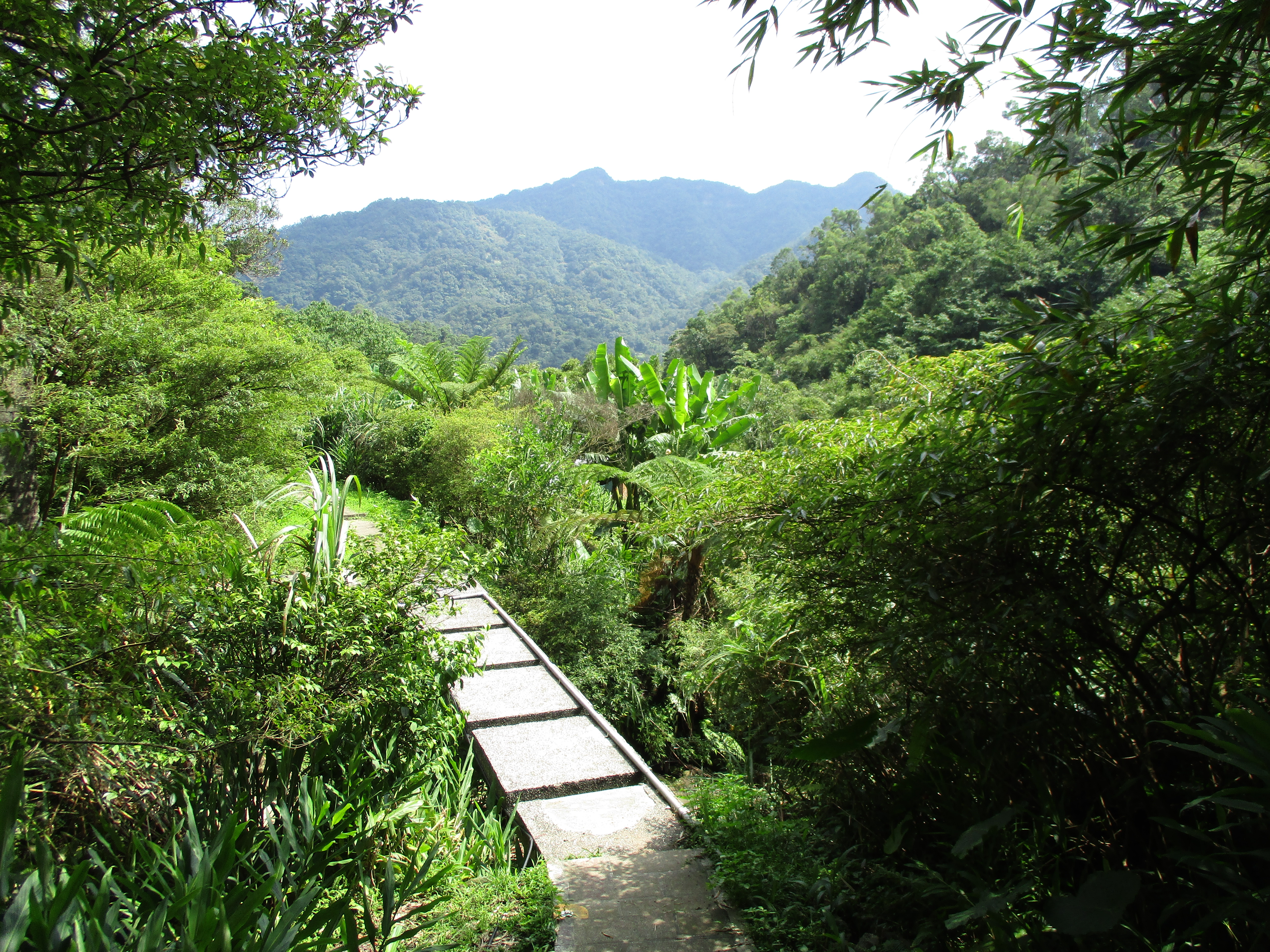
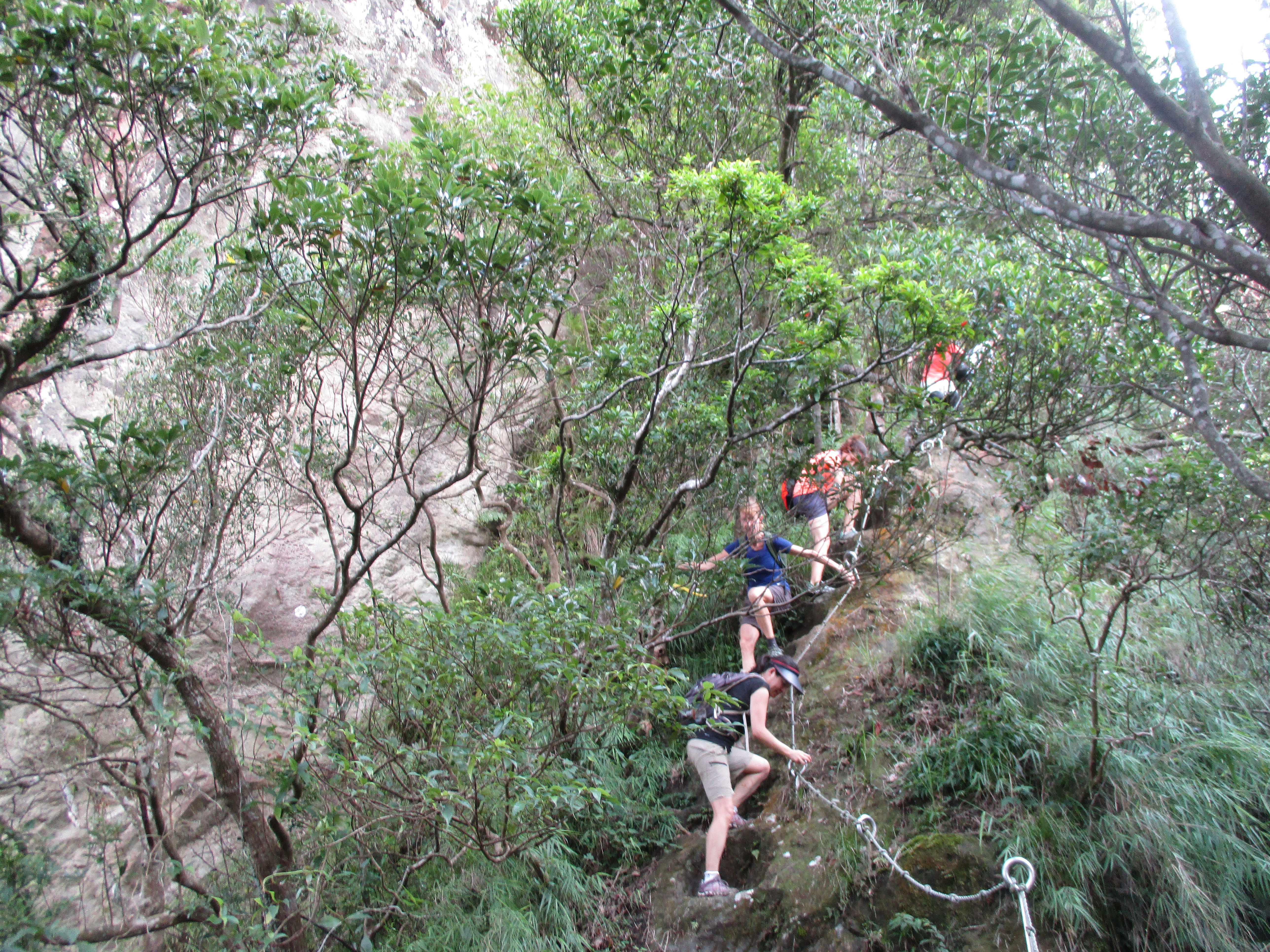
Now at the end of the stream and the valley, the trail makes a short climb out with ropes.
climbing out of the valley
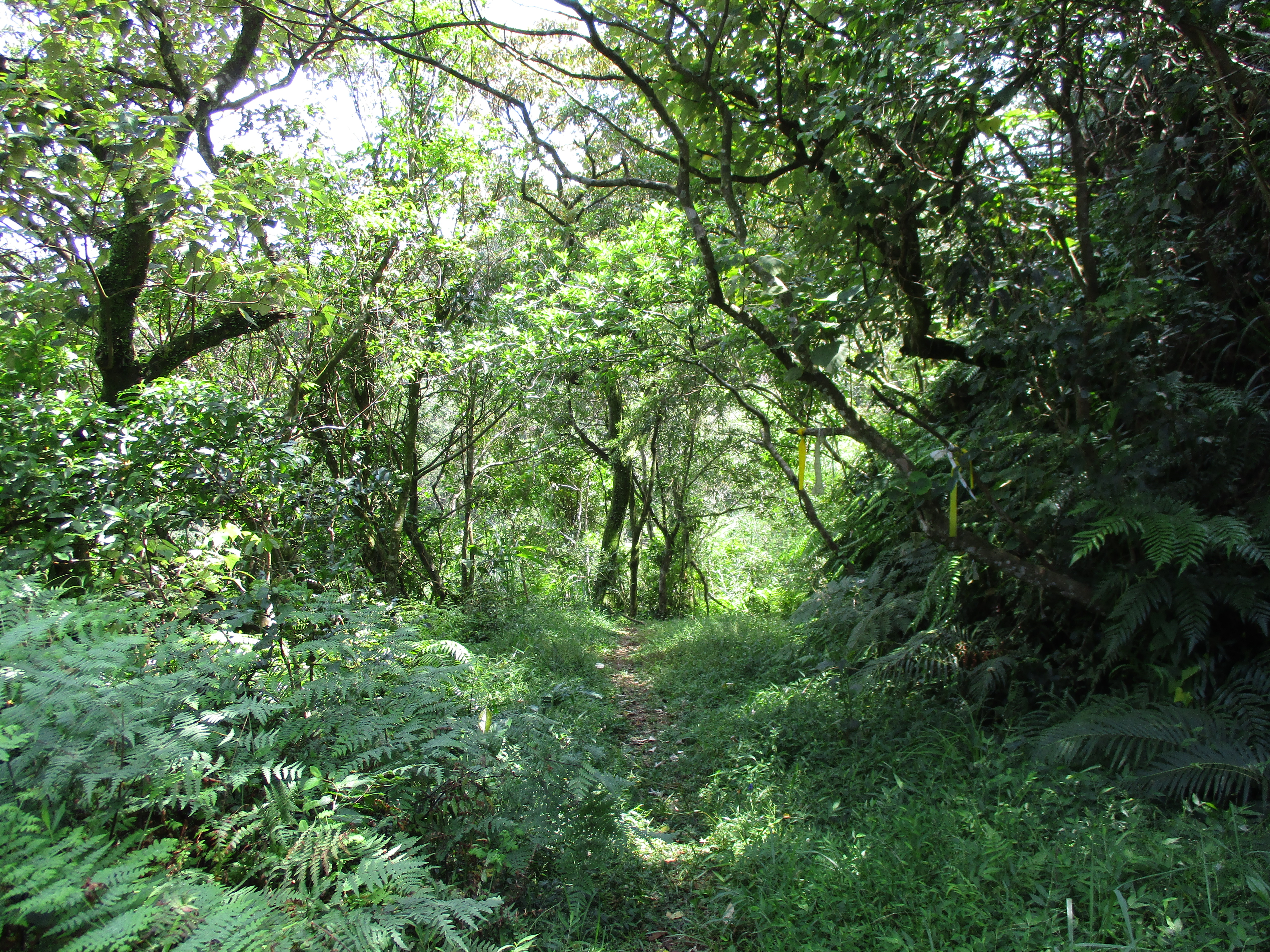
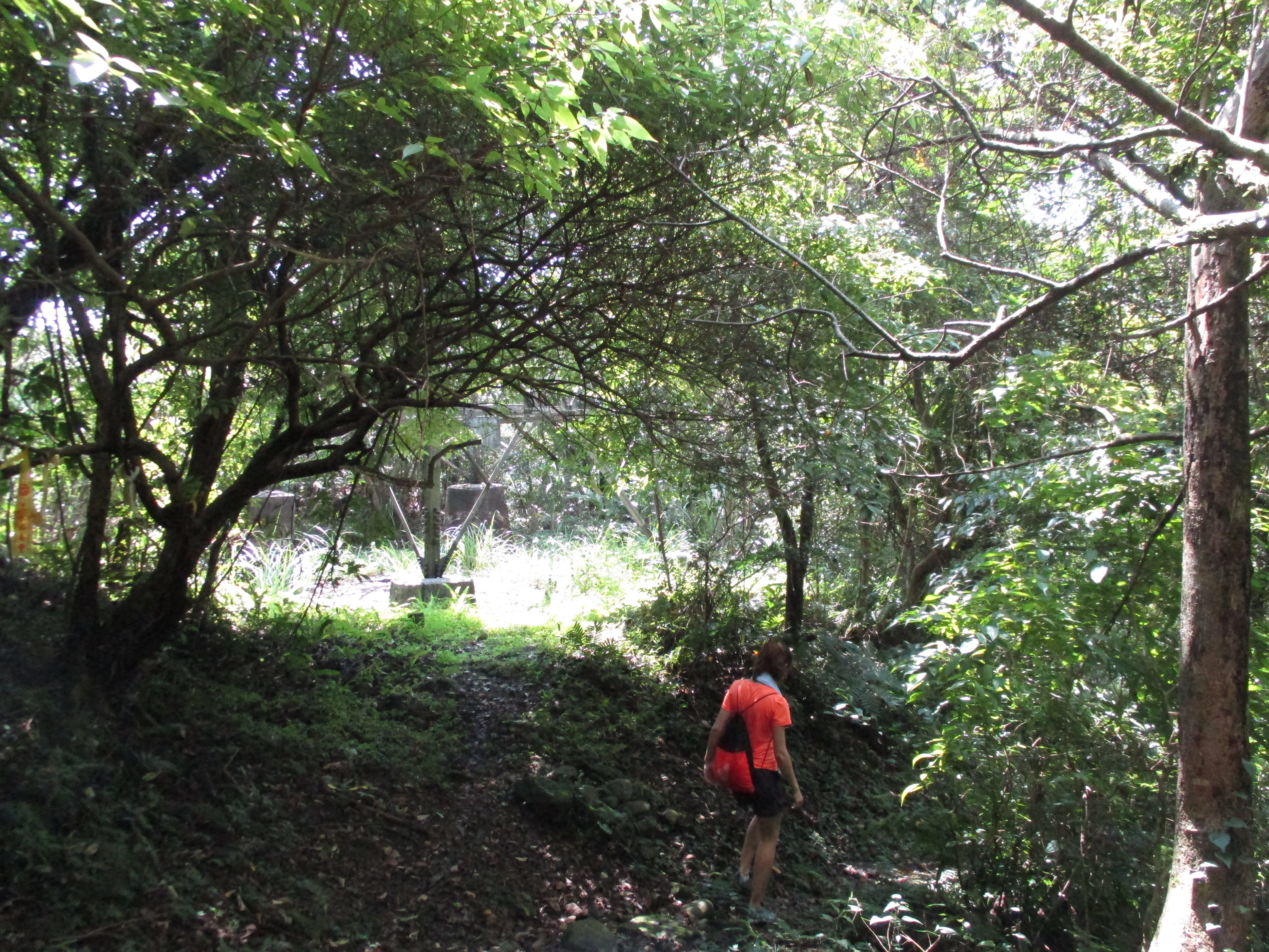
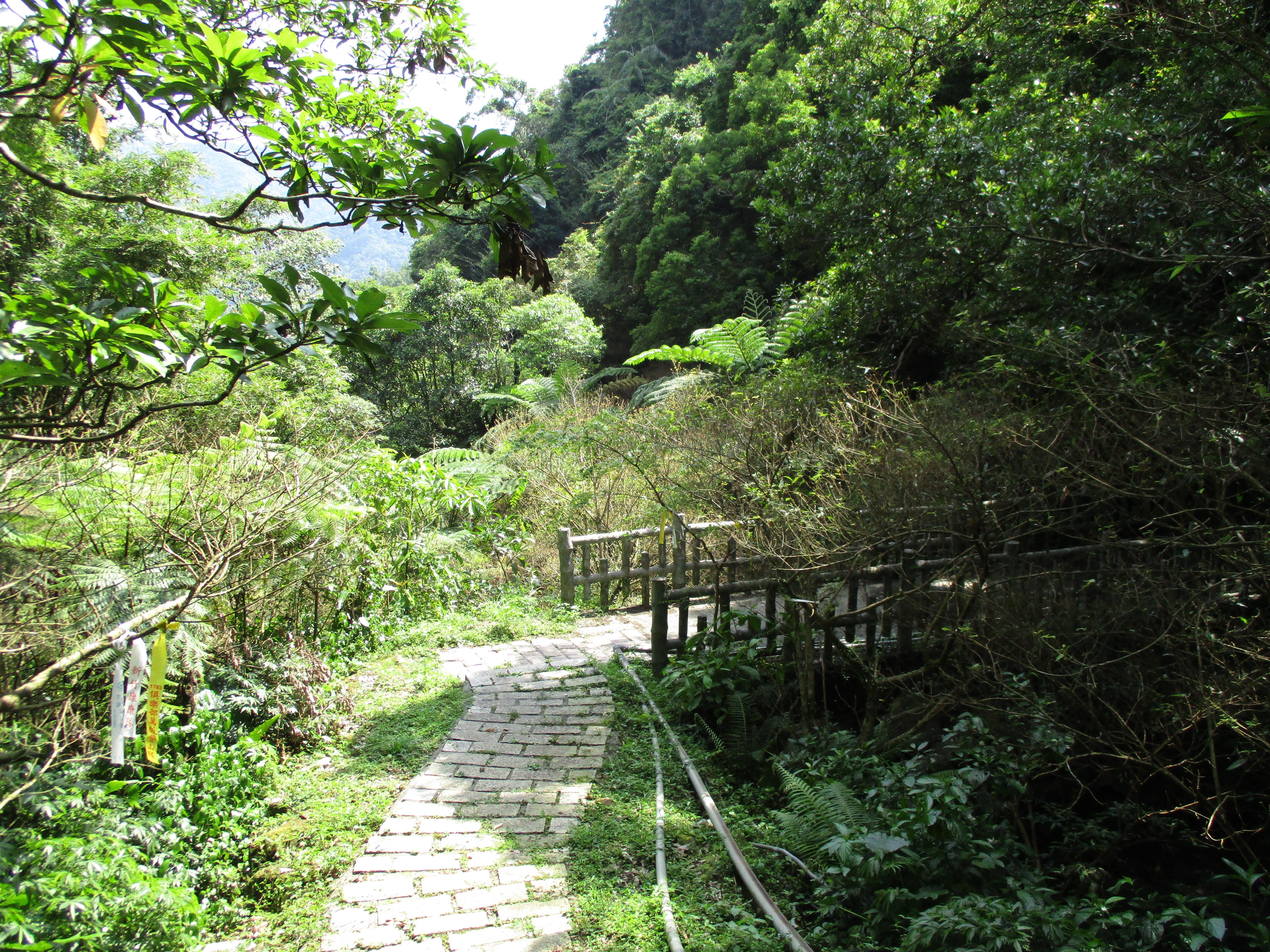
After the climb the trail merges onto a rough, overgrown road. There is a trail map here too. Keep going straight here.

merging onto an overgrown road, keep going straight here
Follow this road until you come to a T-intersection with another overgrown road. Turn left here. There are no signs marking this turn, only flags.
turn left here at the flags
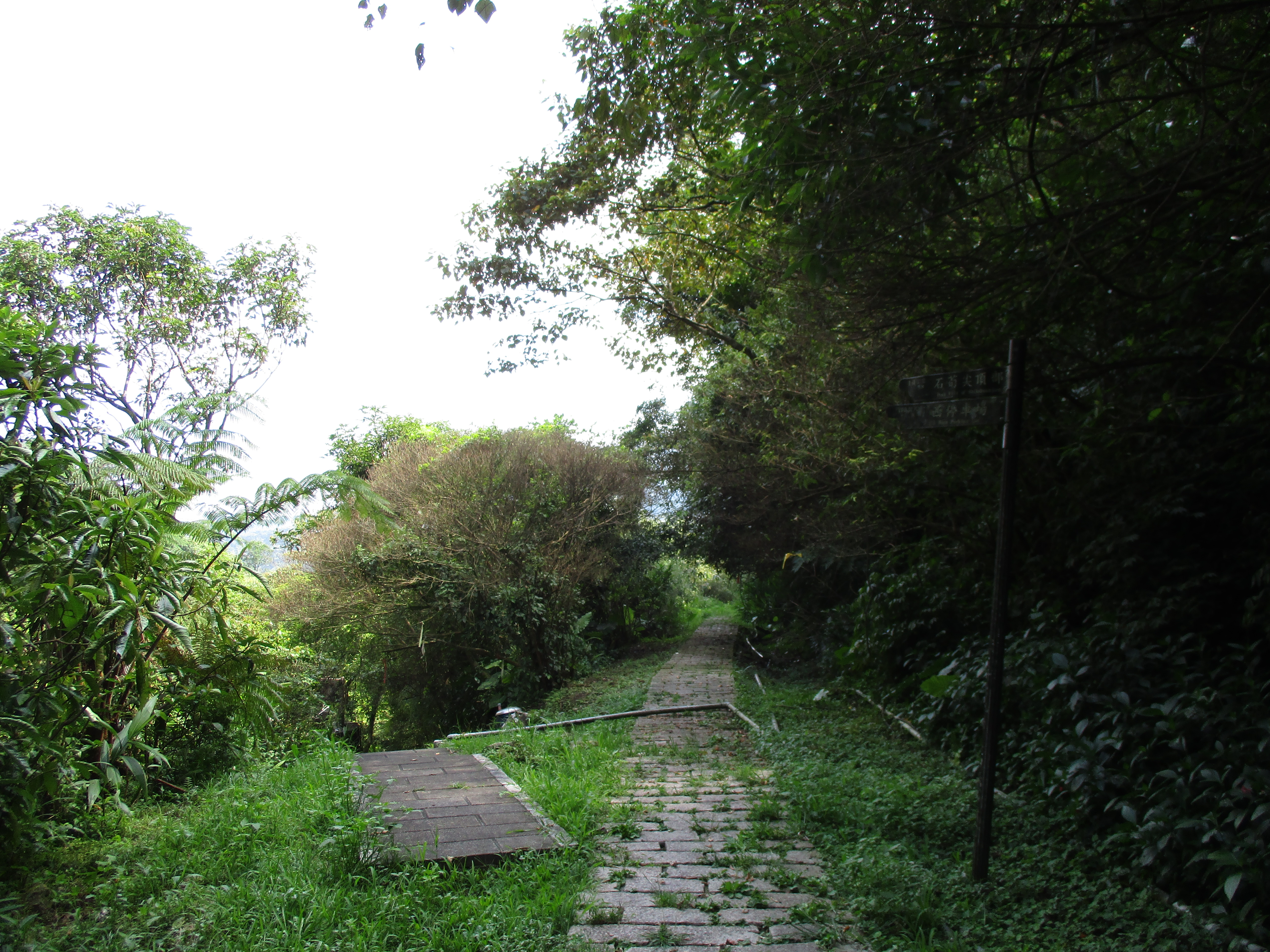
The trail/road descends passing another trail junction with a map. Continue to follow the road here.
going down past a trail map
At the end of the road the trail passes an electrical tower.
passing an electrical tower
Follow the trail continuing down from the tower and you’ll come to the unusual site of an abandoned motorcycle sitting up in the dirt.
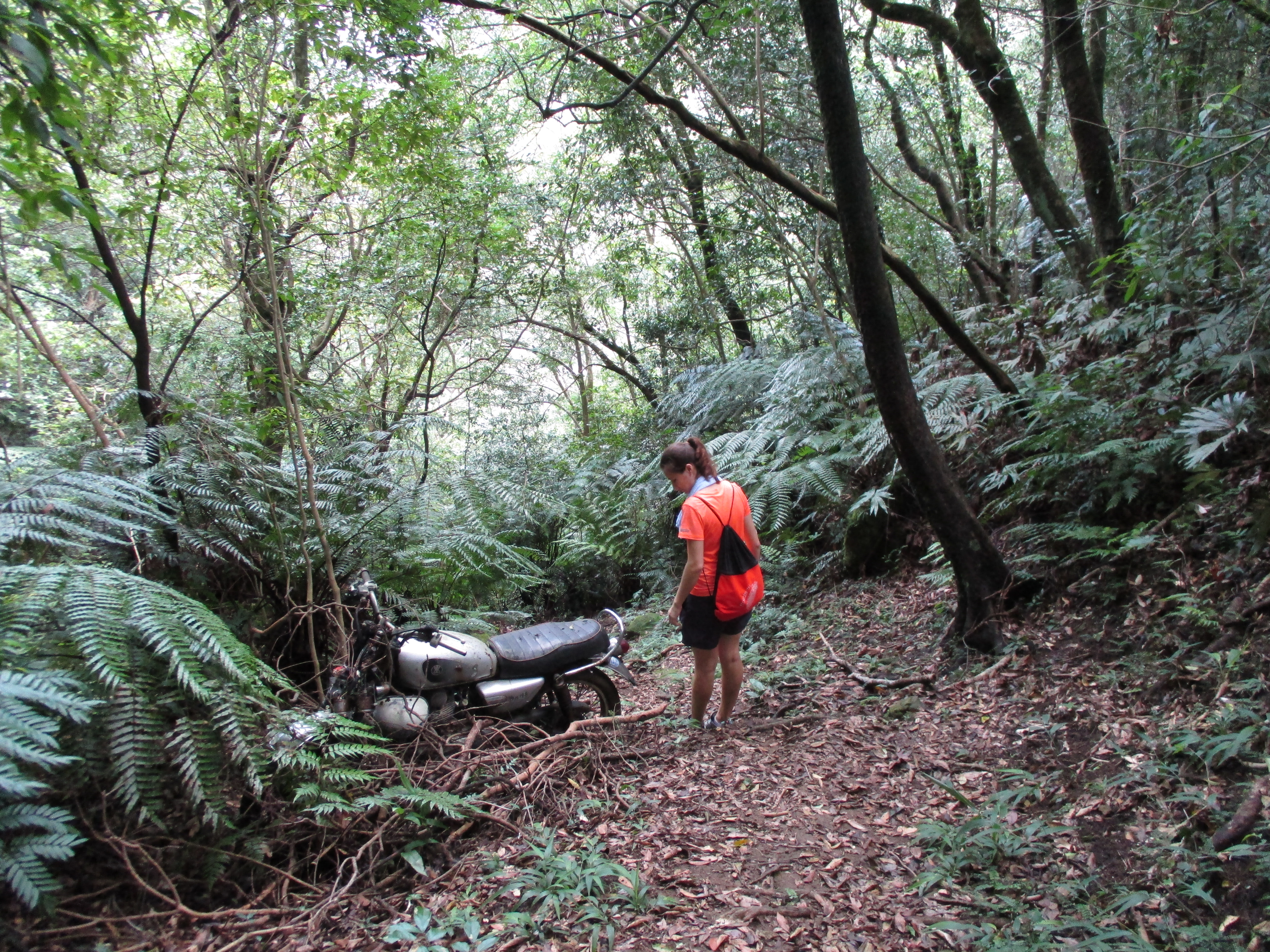
the motorcycle
Continue down from the motorcycle going along the base of a cliff.
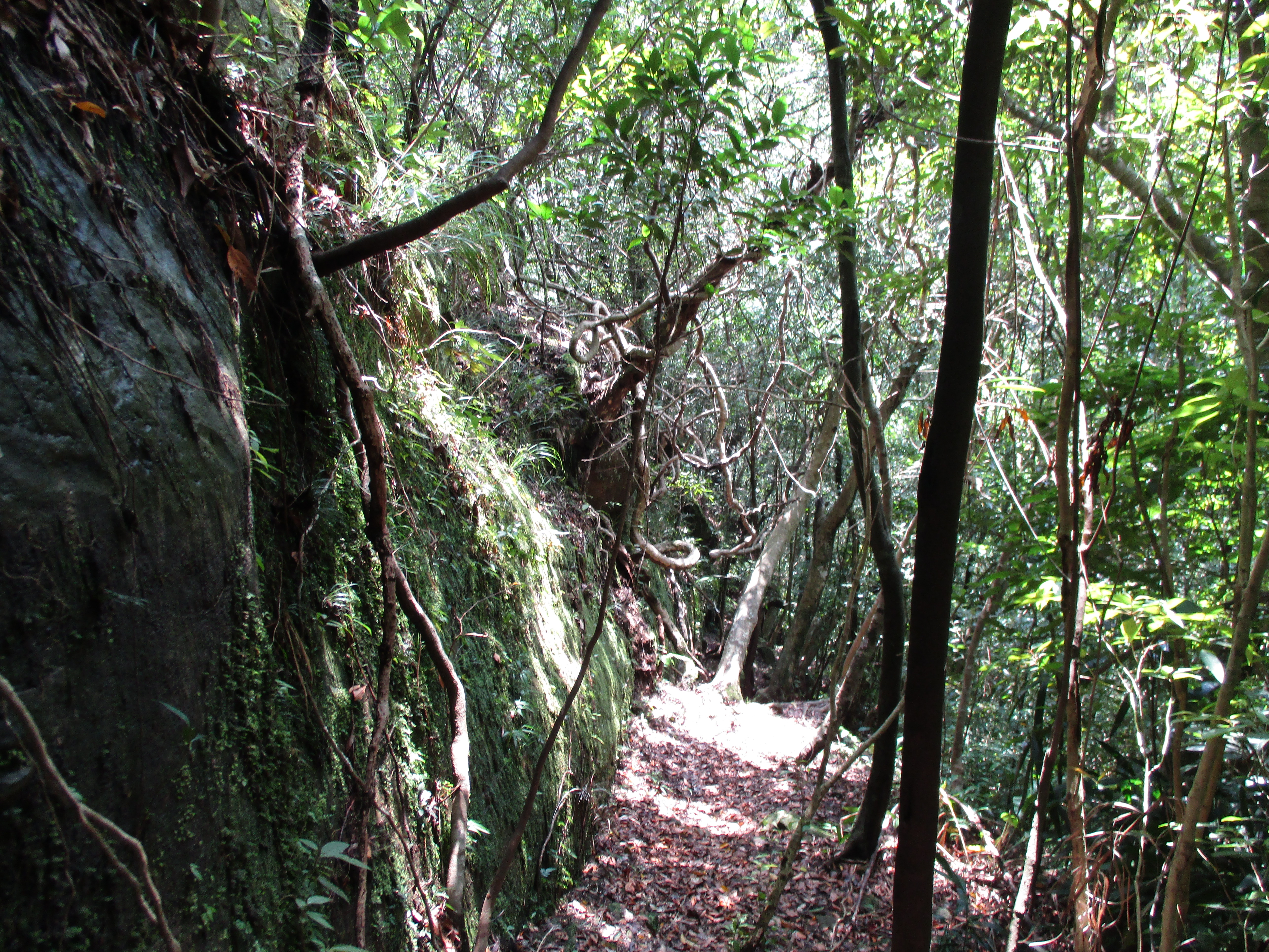
continuing down from the motorcycle
The dirt trail ends at the top of a stone trail. There a couple of old mining cart tunnels here too.

old mining cart tunnel
Take the stone trail going down and turn left at a trail junction.
turn left here
Stone steps continue going down along a stream.

steps going down
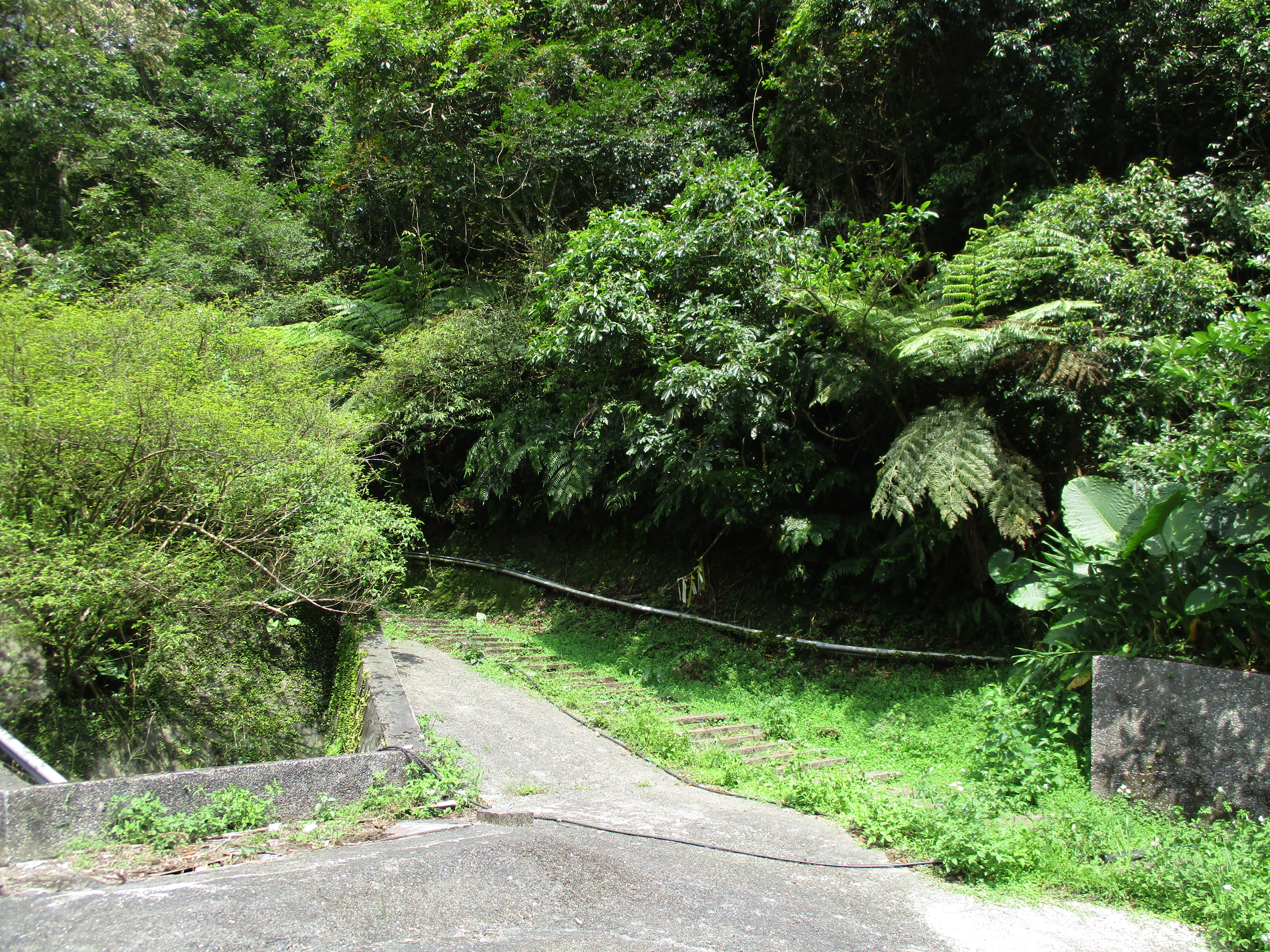
At the bottom the trail crosses the stream over a bridge.
bridge crossing the stream
Go left at a fork in the trail after the bridge.
fork left here
More steps lead down and the trail crosses the stream again over another bridge.
stream crossing
After the stream crossing this trail ends at a small parking lot at the end of a road. The trail up to the peak of Stone Bamboo Shoot starts from the parking lot. Steep stone steps climb up for about 20 minutes.
trail up Stone Bamboo Shoot from the parking lot
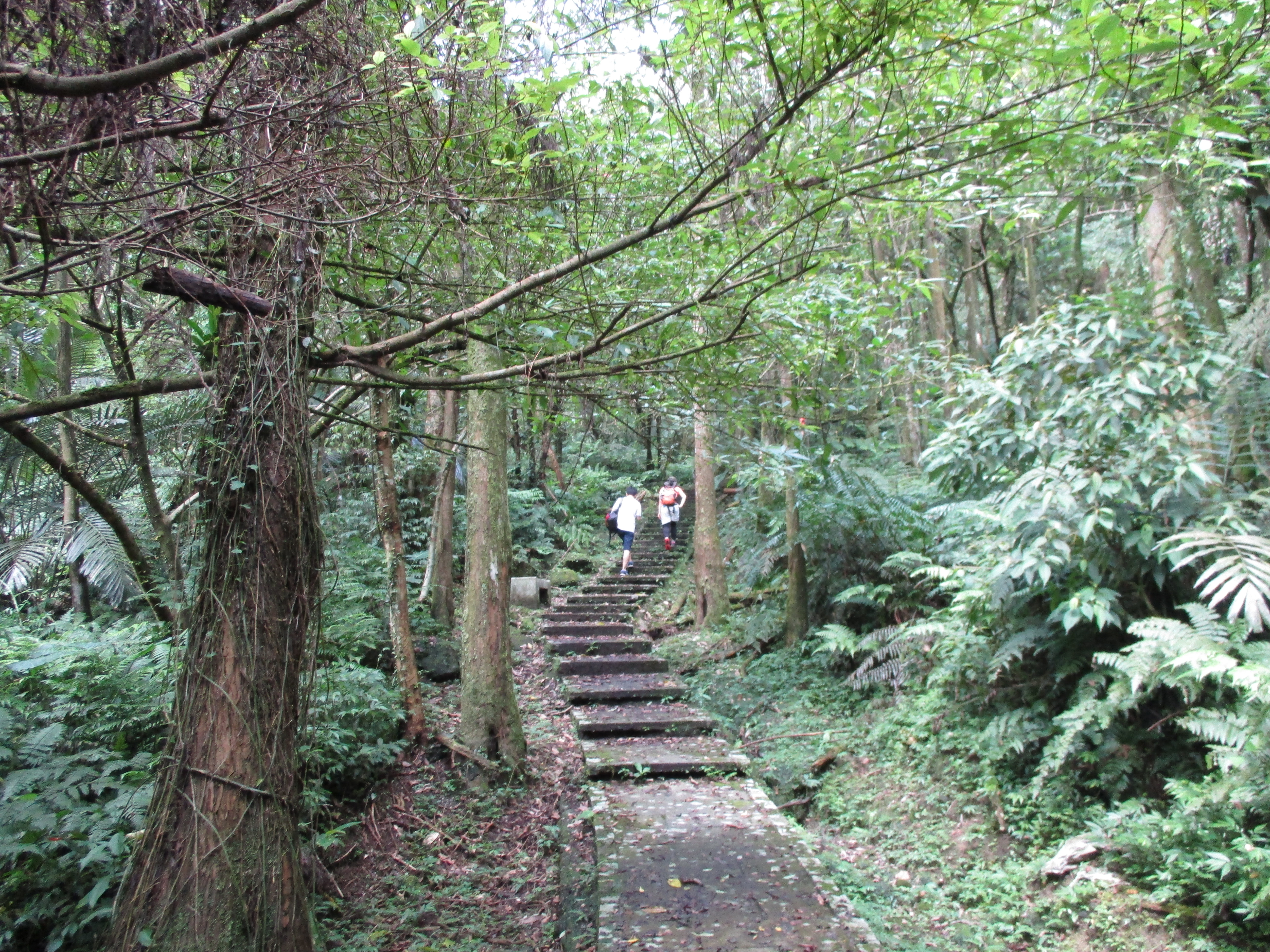
climbing the stairs
After about 20 minutes the stairs give way to a dirt trail that continues the steep climb.
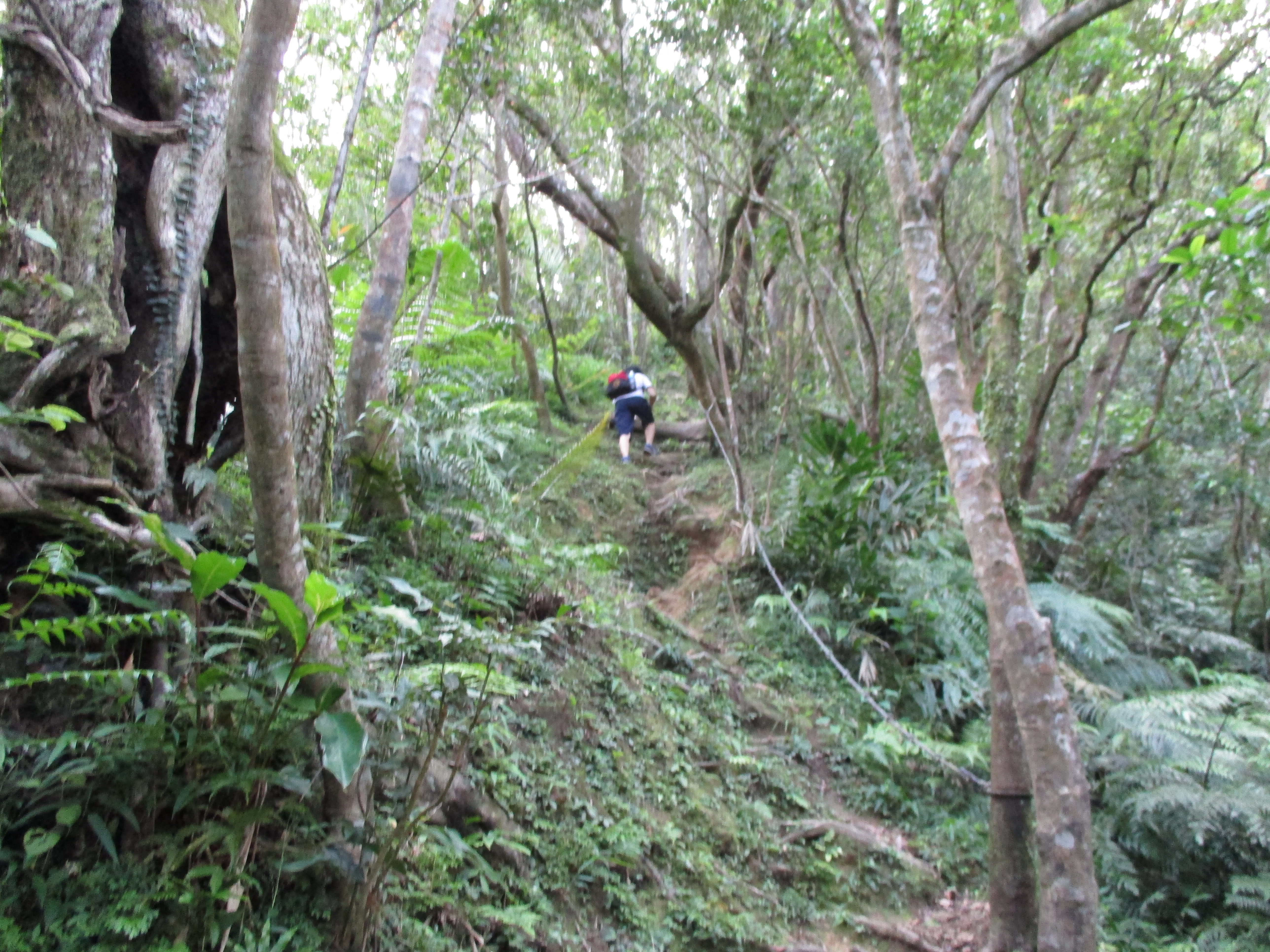
continuing to climb on the dirt trail
Turn left when you come to a trail junction. From the junction it’s a short, steep climb, mostly with ropes, to the peak.
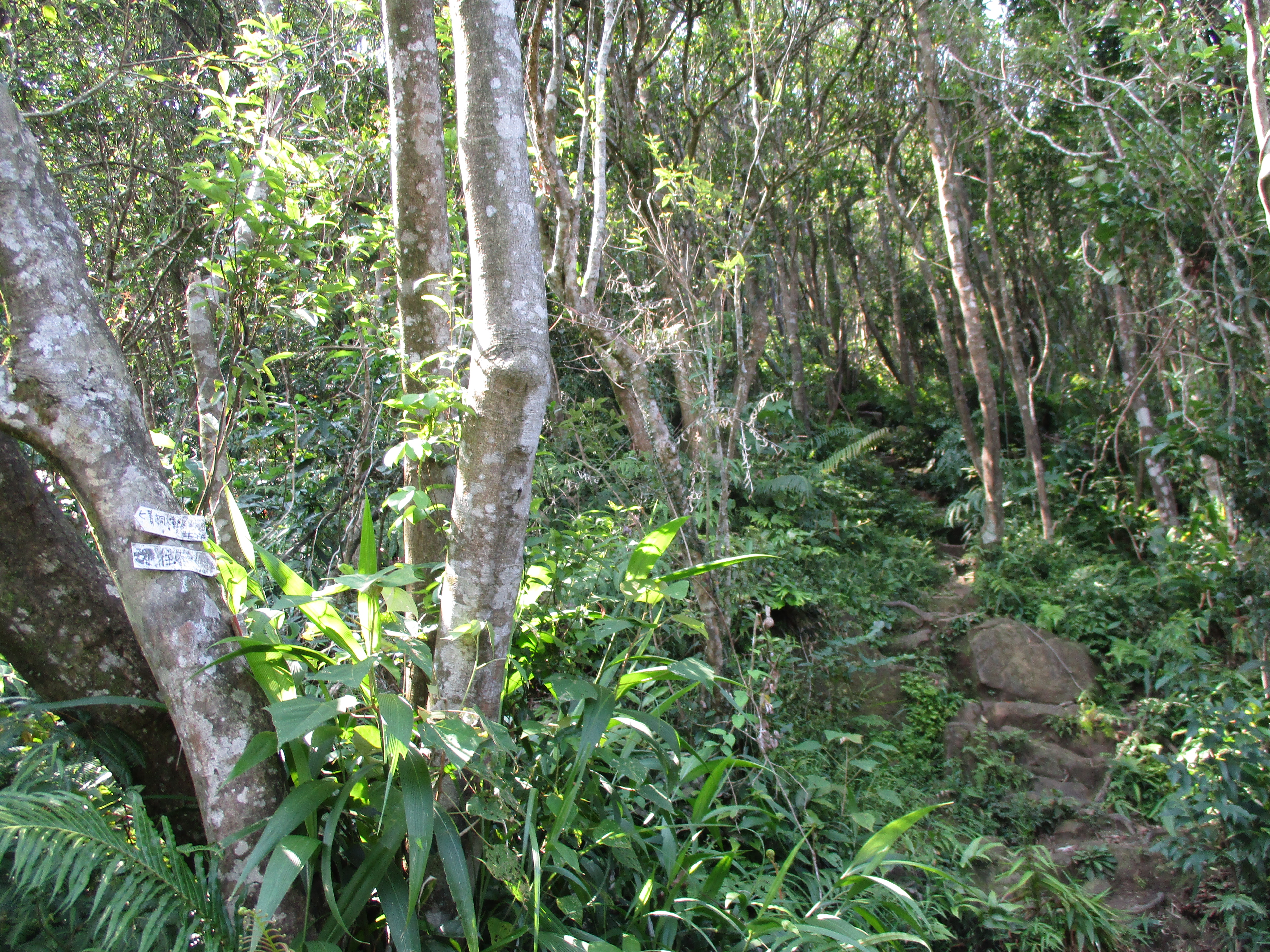
turn left here for the peak
climbing to the peak
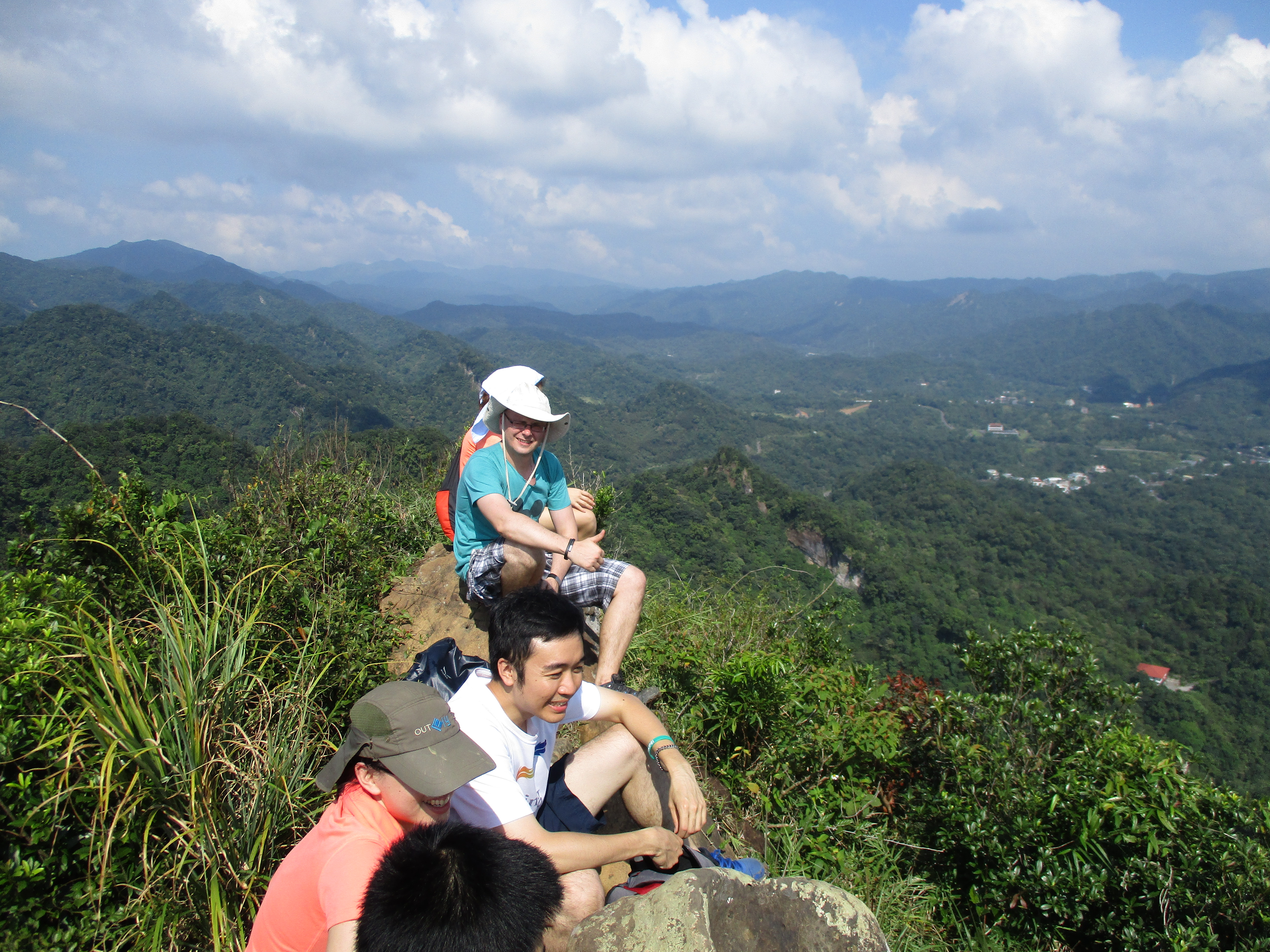
on the peak
From the peak, return back down the last trail junction and turn left. The trail goes along the hillside, crosses over some rocks, and makes a short rope descent.
going away from the peak
descending the mountain
At last, more steps continue downwards returning to the Land God shrine.
going down the steps
Map of the Hike
