Pingding Trails
Yangmingshan National Park
Introduction: this hike starts from Pingding at the bottom of Yangmingshan, climbs up to Qingtiangang, then descends to Shengren Waterfall on a trail following a stream through thick forest
Access: take bus Small 19 from Jintian MRT Station to the 內厝 stop
Length: 14.5km, 5 hours
Difficulty Level: 3/5
Trail Conditions: narrow, rough dirt trails, muddy sections, bridgeless stream crossings; stone trails with steps at the start and end as well as around Mt Zhugao; no signs on trails or trail maps anywhere
The Hike
From the bus stop keep walking up the road until you come to the start of a stone trail.

start of the trail
Stone steps lead upwards soon coming to a rest area at a 4-way trail junction.
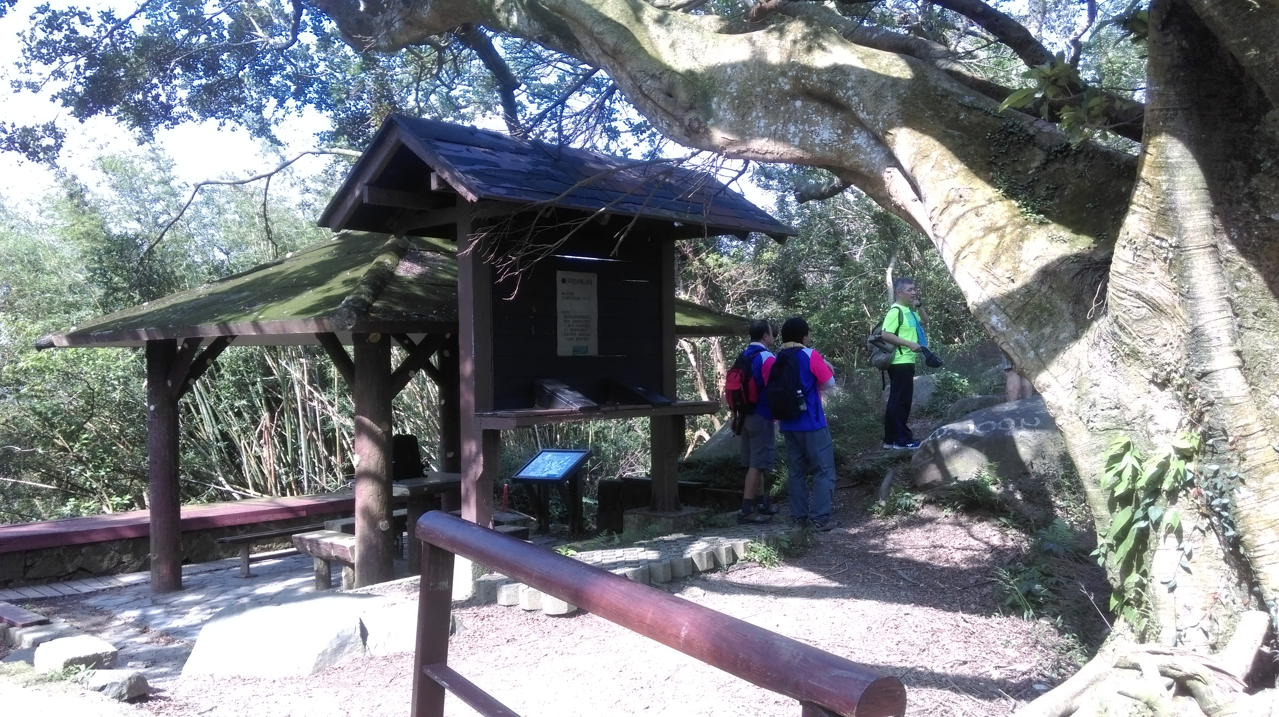
rest area at the trail junction
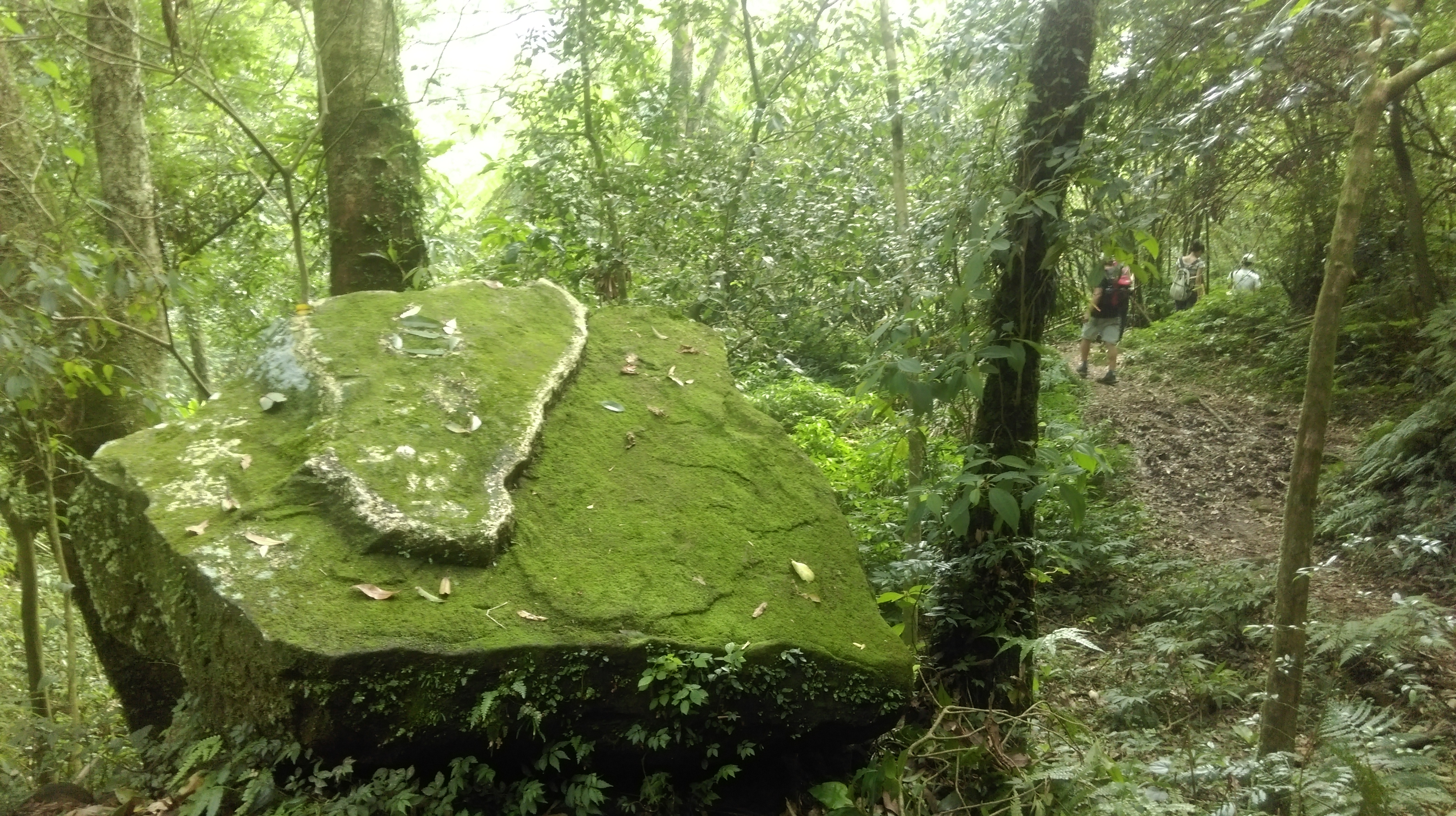
From the rest area take the unmarked dirt trail leaving from the behind the rest area going past a large boulder.

take this trail from the rest area
This dirt trail goes along the top of the ridge climbing gradually.
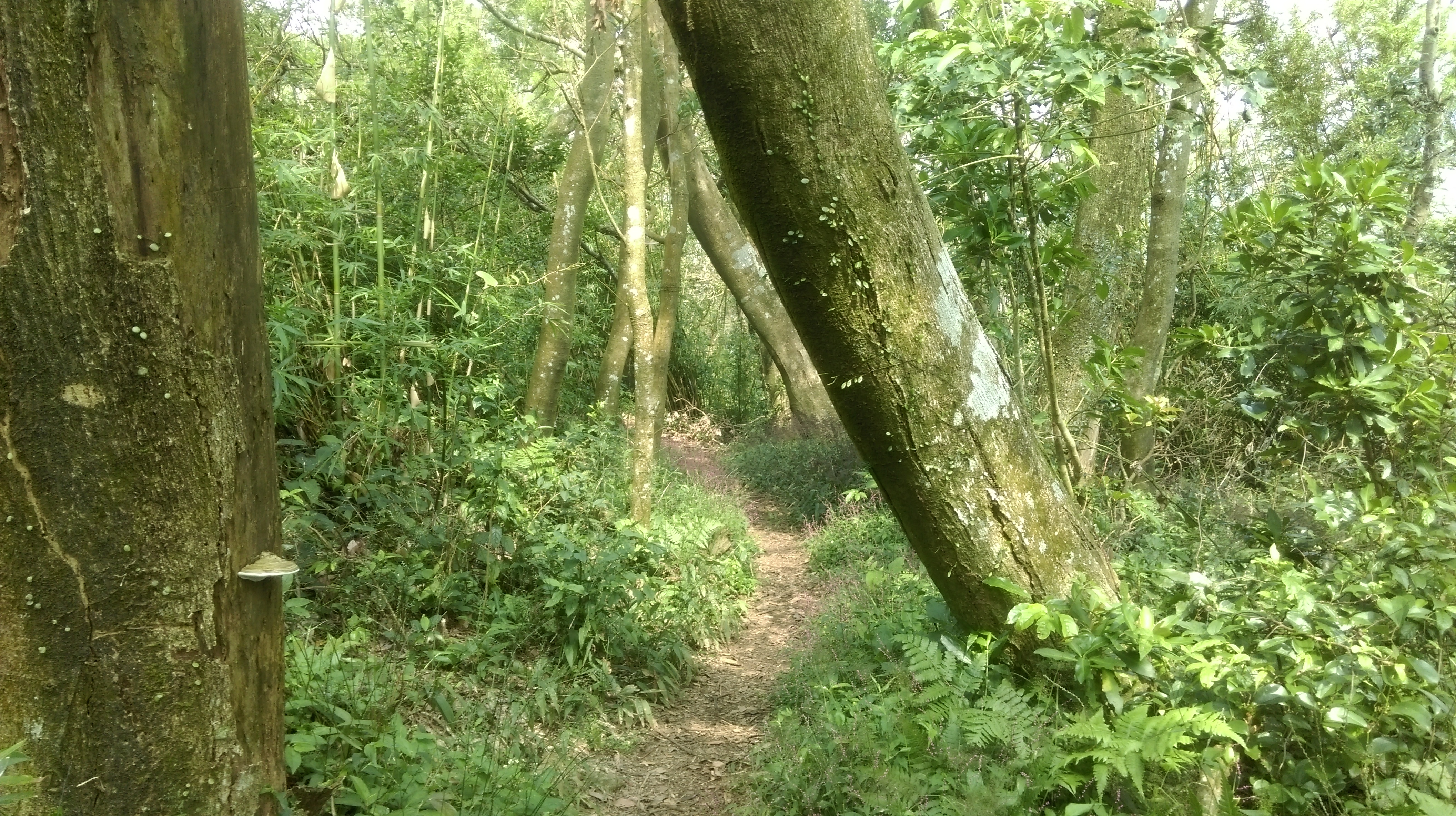
trail along the ridge
Turn left at a trail junction marked by a small stone tablet in front of a tree.

turn left here
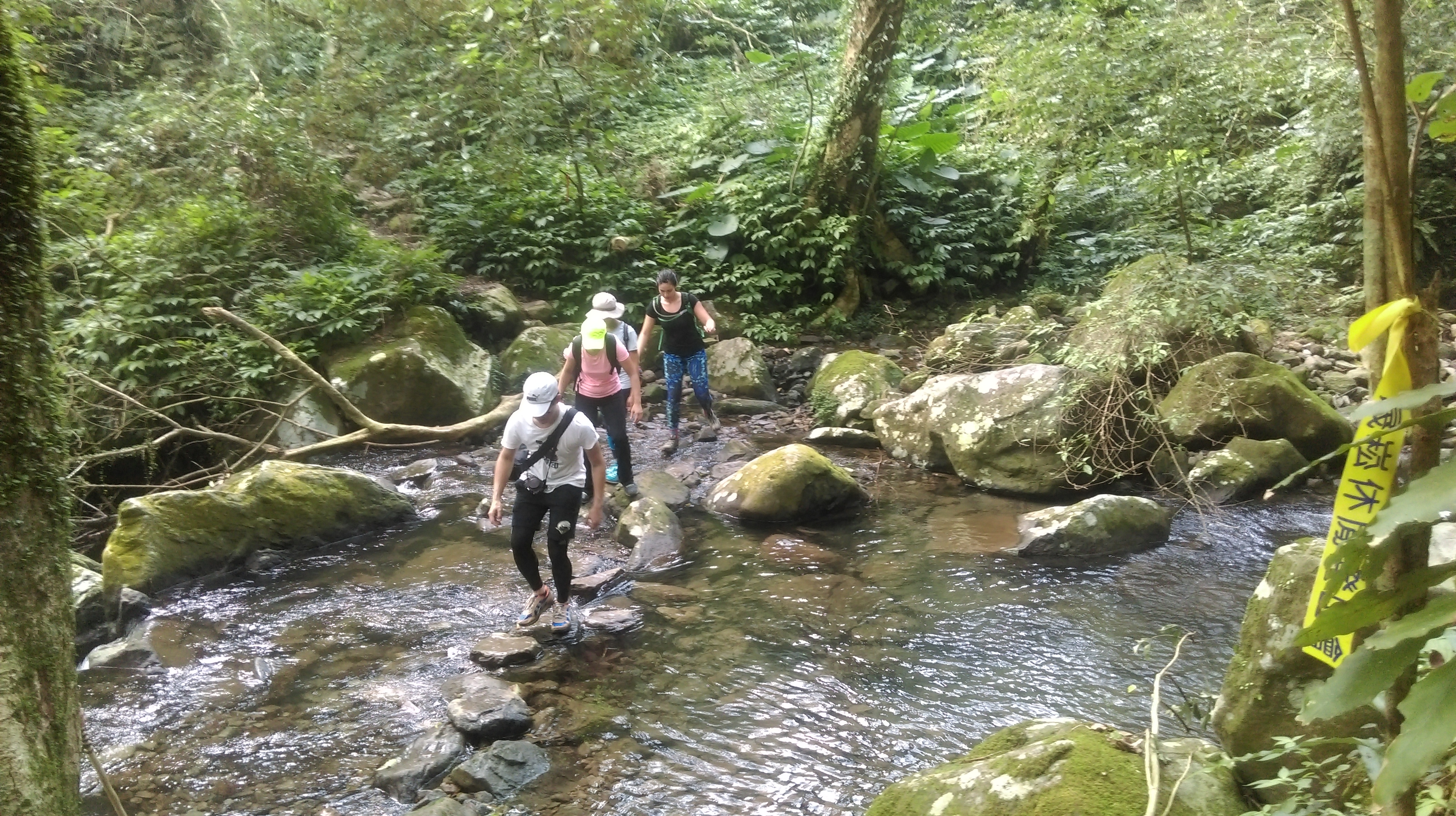
From the junction the trail descends down to a stream. Cross the stream at the bottom then turn right at a trail junction after the crossing.
cross the stream at the bottom then turn right
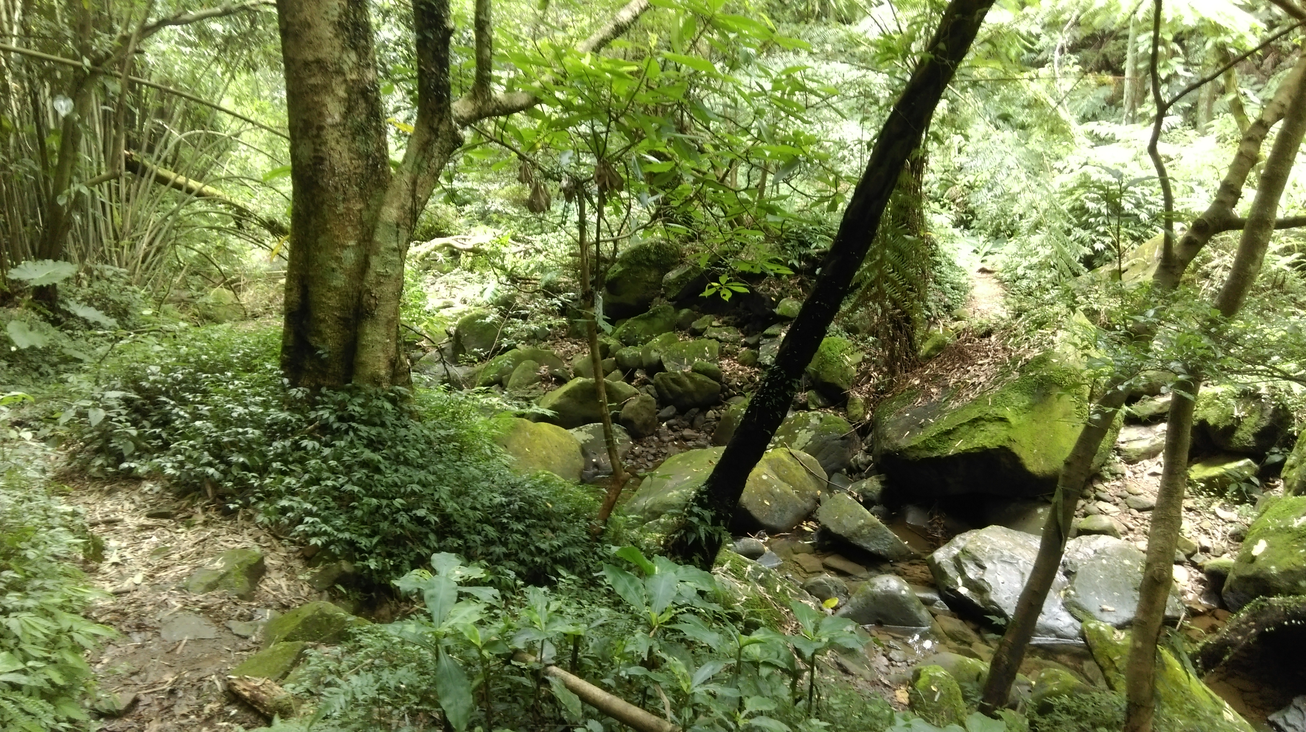
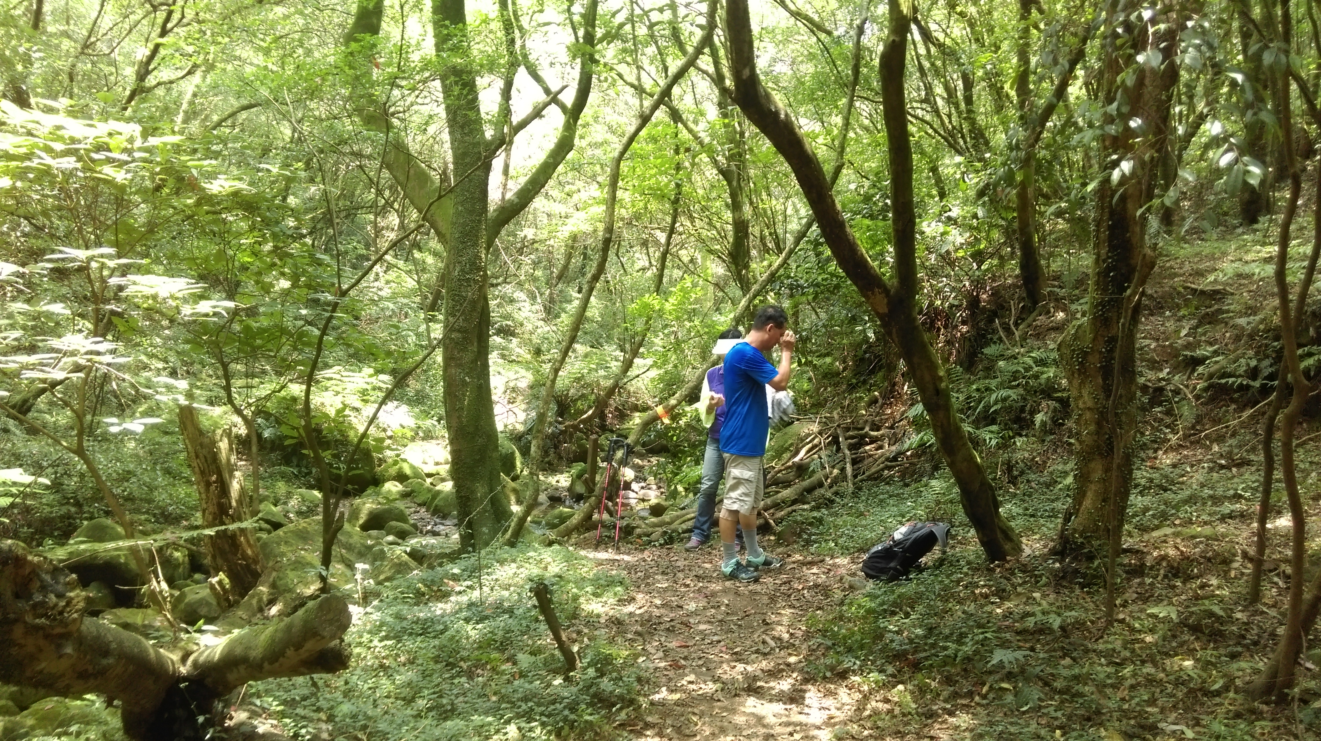
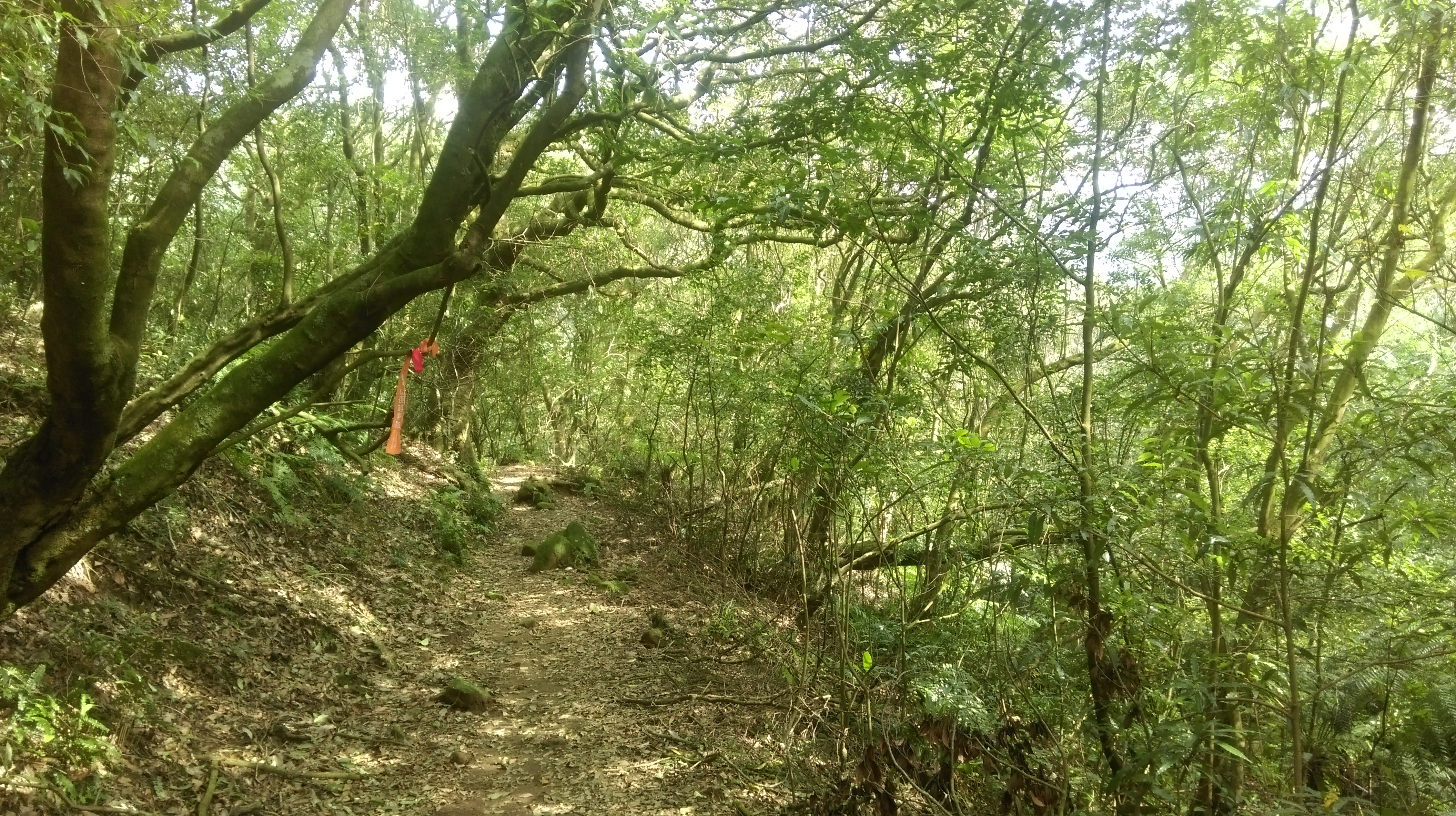
This trail follows the stream climbing upwards towards Qingtiangang.

trail following the stream
Turn right again at another trail junction, continuing to follow the trail upstream.

turn right here
Continuing upstream, the trail will pass a couple of water tanks.

water tanks
Ignore a trail junction after the water tanks and keep going straight.
keep going straight here
At the next trail junction, keep going straight again and cross the stream.

go straight here and cross the stream
The trail will then quickly come to another trail junction. Turn left here crossing the stream again.
turn left here and cross the steam
After the crossing the trail passes a Land God shrine.

Land God shrine
After the shrine keep going straight at the next trail junction following the stream.

keep going straight
Cross the stream again after this trail junction.

stream crossing
After the crossing the trail passes a ruined house.
(Quick Yangmingshan history lesson: When Chinese settlers came to Taiwan in the 17 and 1800s, some people settled on Yangmingshan, cutting down the forest and turning it into terraced farms. When the Japanese occupied Taiwan all the farmers on Yangmingshan were removed from their homes and the hillsides reforested. So while hiking around Yangmingshan you’ll notice walls, terraces, and ruined houses.)

ruined house
Turn left at a trail junction after the house, continuing to follow the shrinking stream.
fork left here after the house
The trail continues to follow the now very small stream and also passes along a barbed wire fence.

following the shrinking stream

following along a fence
Now at the end of the stream and the valley, the trail makes a short, steep climb up to the grasslands.

climbing up to the grasslands
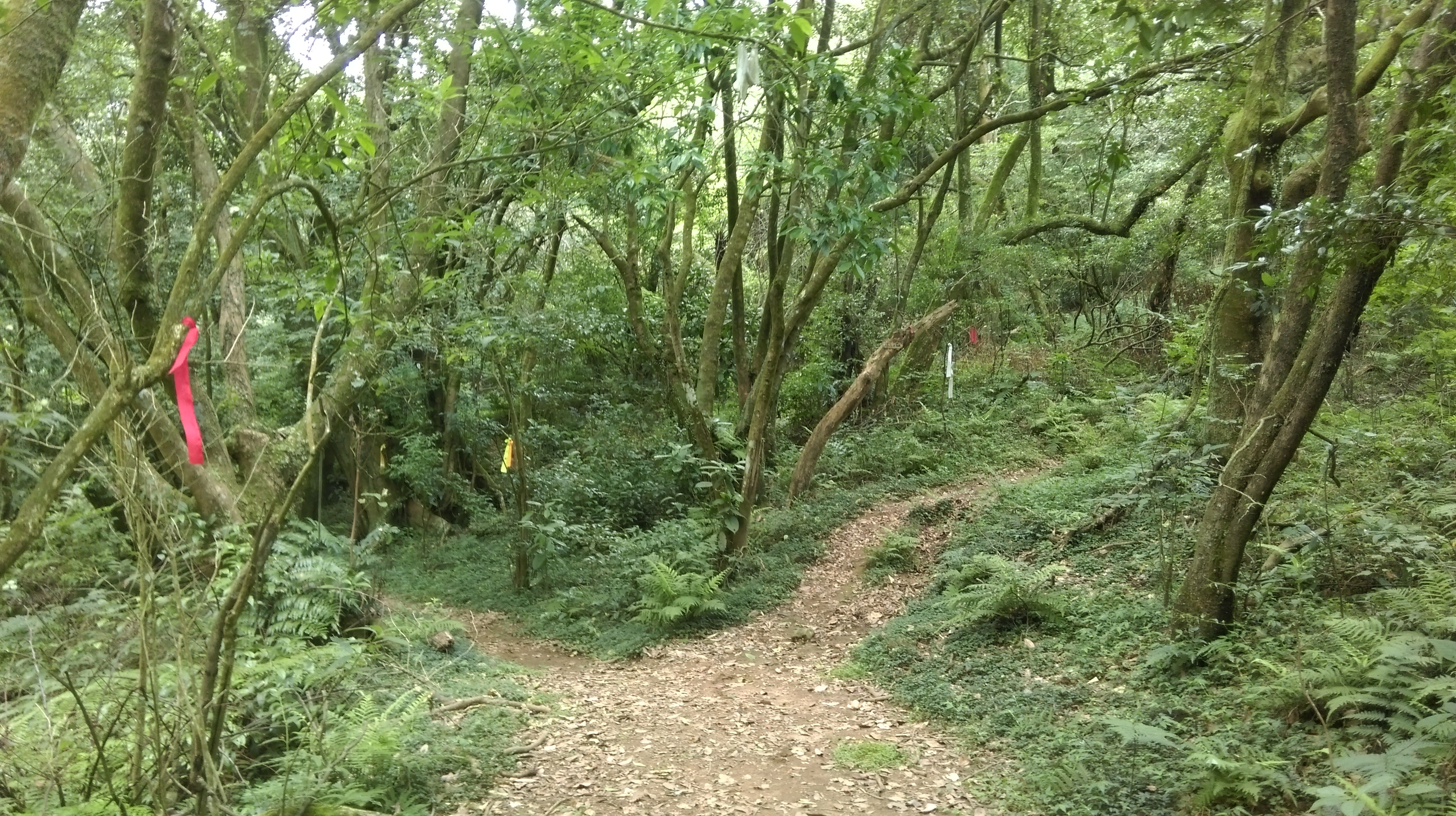
Turn left at the top. Ahead you’ll see the peak of Mt Zhugao with its stone turret on the top. Follow the flags through the grasslands heading towards the peak.

trail through the grass
The dirt trail ends at a stone trail that leads up to the peak. You may notice that trail you were on has a trail closed do not enter sign here. Don’t worry about it. The trail isn’t really closed, then sign is just there to keep the tourist hordes who wander around the grasslands area from venturing off the main stone trails and getting lost. These dirt trails are used by hikers and are still maintained by the national park.
Turn left here and follow the trail up to the peak.

Mt Zhugao peak
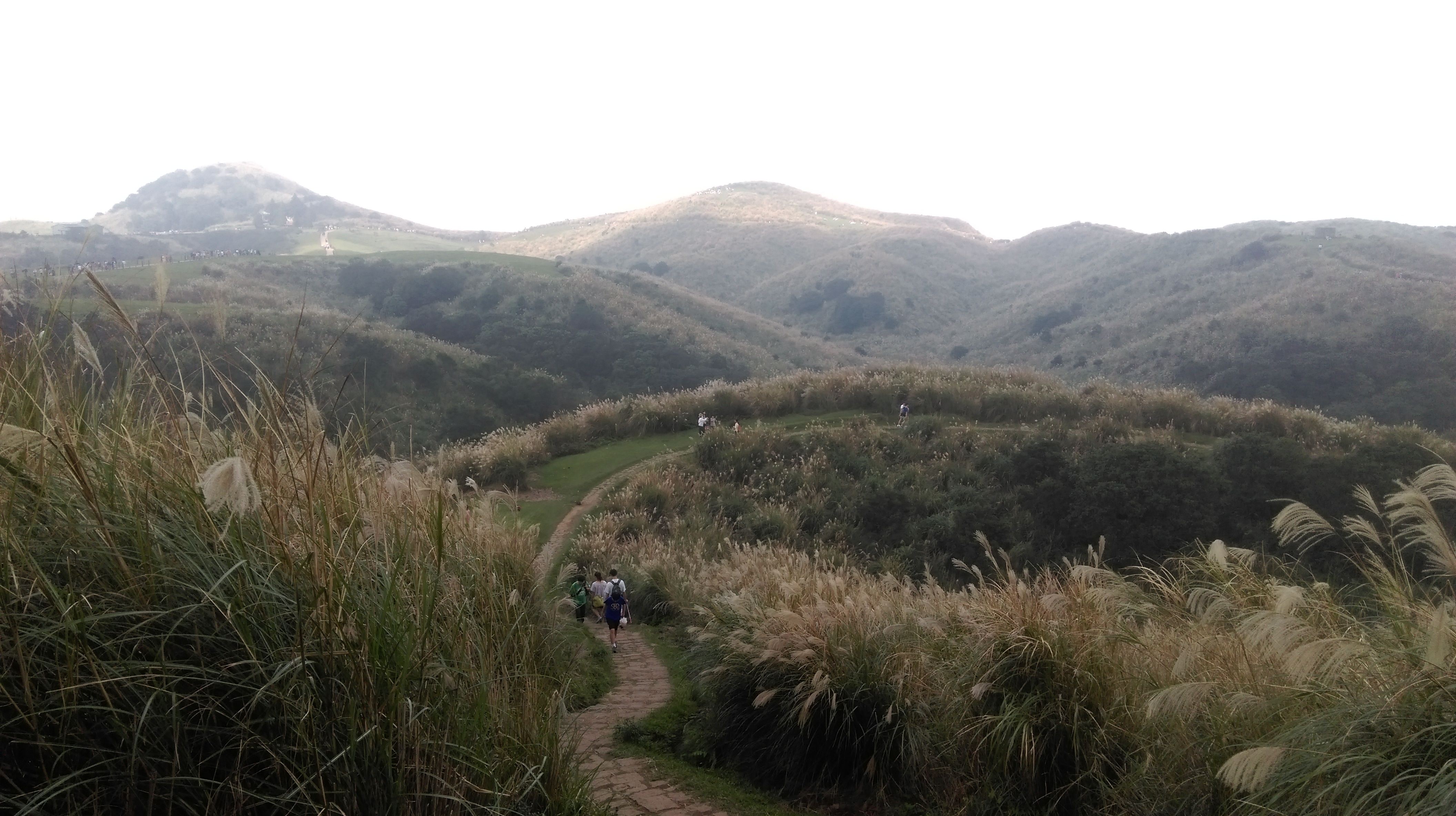
There are good views of Taipei down below from the peak, but it can be hard to get up here on a clear day. The Qingtiangang grasslands area is often in the clouds, even when it is sunny in Taipei.
(The round stone turrets you see here are for anti-paratrooper machine gun placements, built in the early days of the ROC to prevent Chinese paratroopers from gaining the mountains above the city in the event of a Chinese invasion of Taiwan.)
From the peak return back down the same way passing the trail you took coming up until you come to a trail junction with another stone turret. Turn right here.
(You may notice a large number of people in area up ahead, especially on the weekends. The Qingtiangang cow meadow area is the most popular tourist attraction in Yangmingshan. Please see my east Yangmingshan page for more information on hiking in the area. If you don’t want to or can’t hike back down to Shengren keep going straight here. You can catch a bus down the mountain from the car park.)

going back down from the peak

turn right here
The stone continues to descend and crosses a small stream at the bottom over a wooden bridge. From here the trail follows the stream all the way back down.
going down
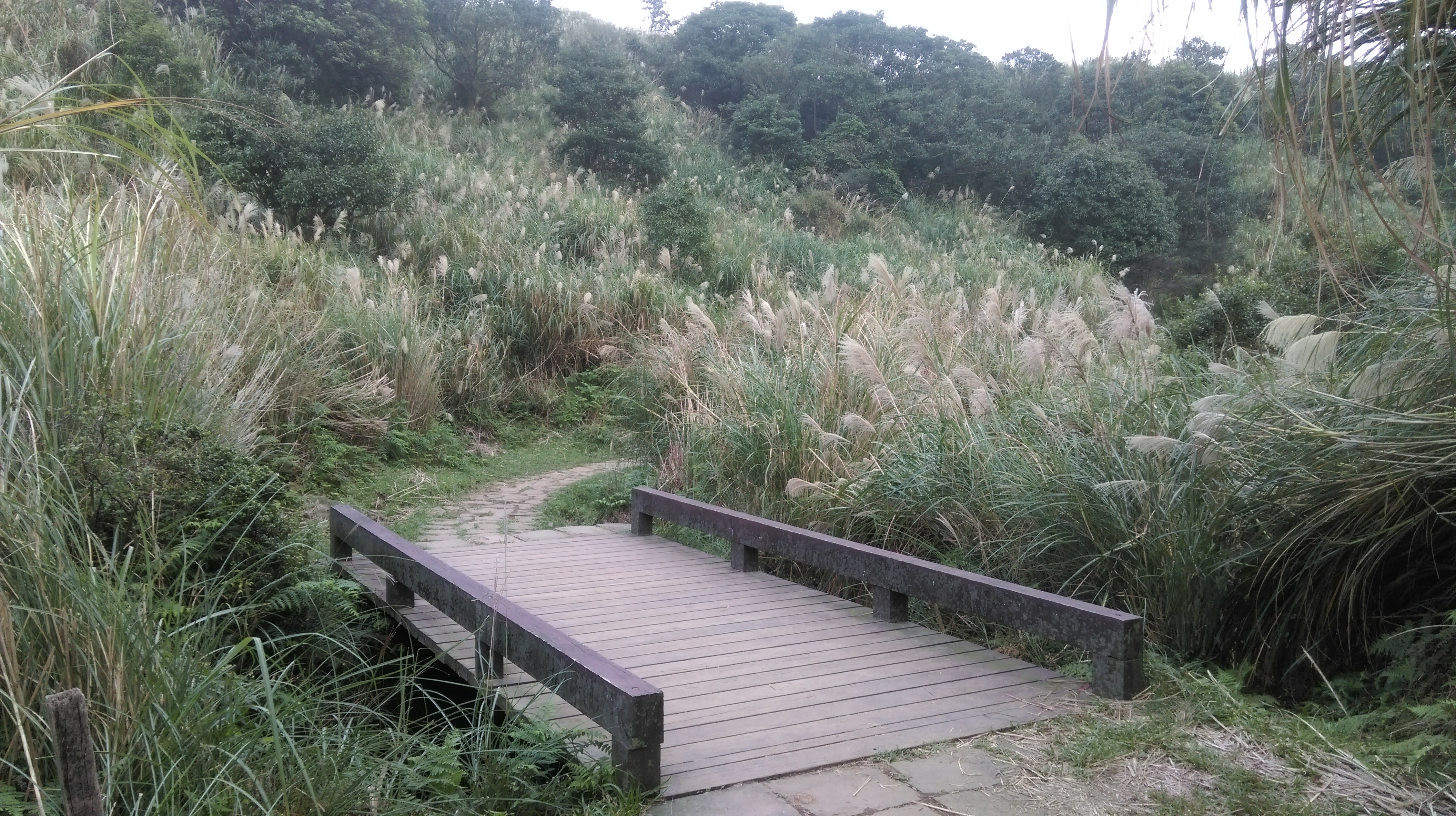
wooden bridge at the bottom
Just after the wooden bridge a narrow dirt trail branches off from the stone trail. There is a trail closed no entry sign here too. Again, it’s not really closed.

turn off the stone trail here just after the bridge
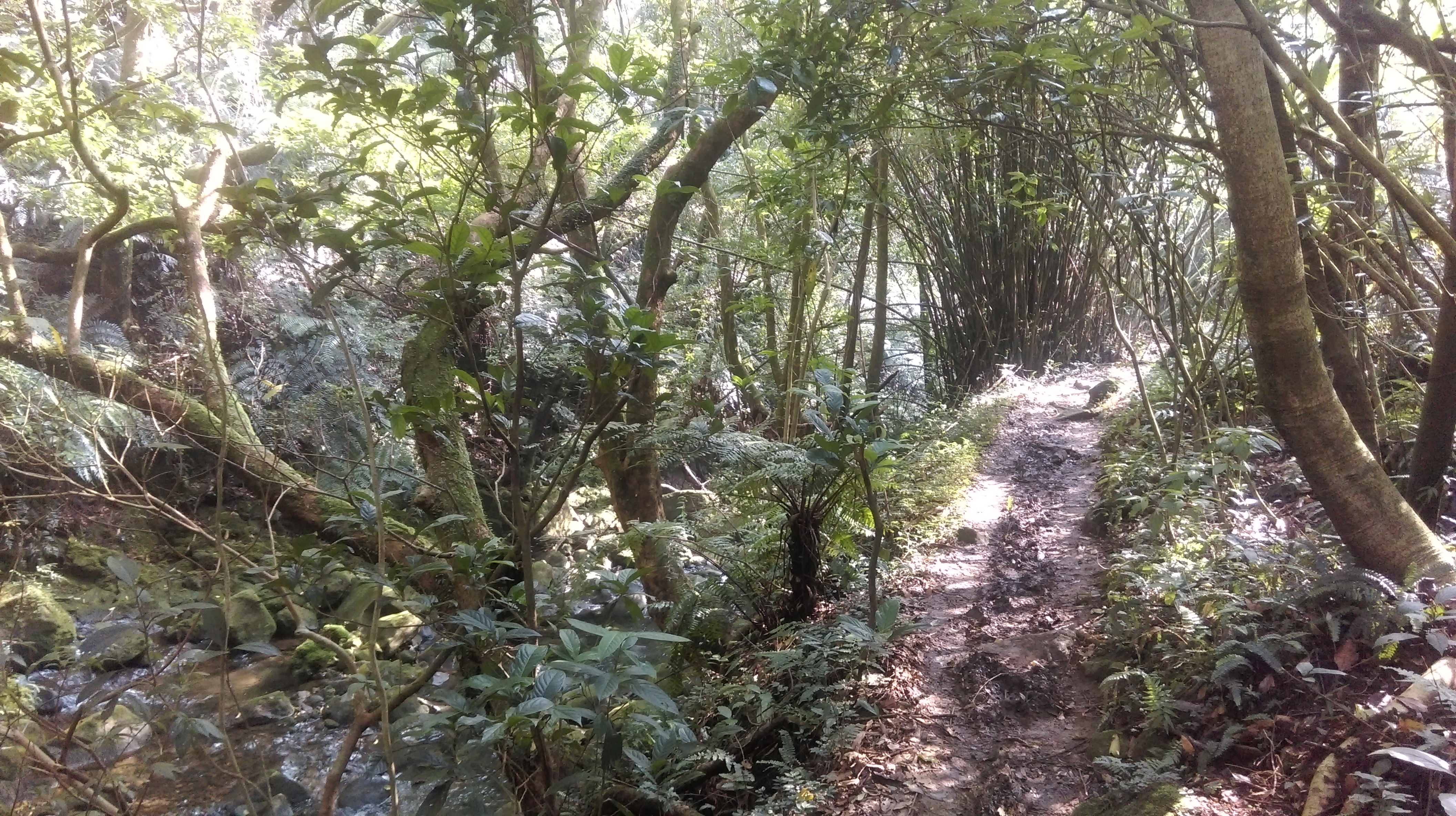
The trail leaves the grasslands and goes into the trees following near the stream.

trail following the stream into the trees
The trail then soon crosses a tributary stream over rocks.

tributary stream crossing
After the crossing the trail continues to follow along side the stream for a while before going away from the stream for a bit.

going alongside the stream
going away from the stream
The trail comes to another tributary stream and again makes a crossing over the rocks.
tributary stream crossing
After the crossing the trail follows along beside the stream again.

alongside the stream again
Next, there is a trail junction at a wide clearing and a stream crossing. The junction is marked by directions spray painted onto the rocks. Keep going straight here, making the crossing over the main stream on the rocks. (For a quick side trip, turn left here, a couple of minutes up the trail there is another ruined house.)

trail junction in a clearing, keep going straight here

ruined house

cross the main stream here at the trail junction
After the crossing the trail goes along the right bank of the stream for awhile. The trail follows beside the stream then rises above it and crosses through a landslide from a typhoon in 2015.
following the stream on the right bank

landslide crossing
After the landslide dirt steps lead downwards, then the trail continues to follow above the stream passing some rapids and small waterfalls. Along the way the trail passes a rock somewhat shaped like Taiwan.
passing the Taiwan rock
After the rock the trail gets closer the stream level again and crosses another landslide from 2015.

another landslide
The trail continues beside the stream for a bit before rising above it again.

hiking by the stream
Watch out for a trail junction, with a gate just below the junction. Turn left here.

turn left at this trail junction

gate below the trail junction
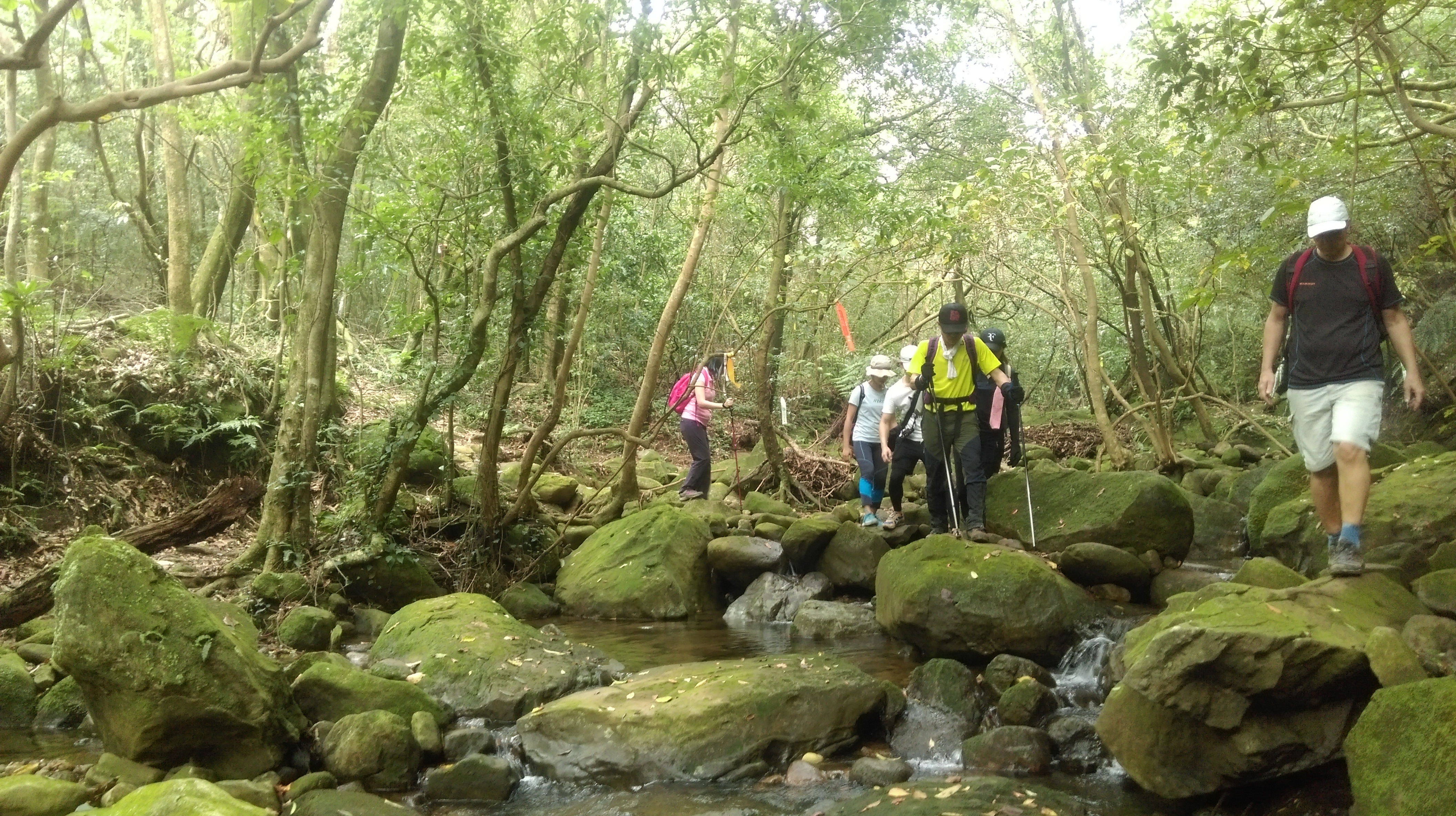
From the junction the trail descends down to the stream and crosses it over rocks.
stream crossing
The trail now follows the left bank of the stream. It makes a crossing over a tributary stream then rises high above the stream along a steep slope through the roughest section of the trail.

tributary stream crossing

hiking above the stream
Eventually the trail leads to a still occupied 200+ year old mud farmhouse. The couple that live are very friendly to hikers, but they only speak Taiwanese. They also a very friendly dog. This house is the only one left in Yangmingshan that is still occupied and gives a glimpse into what life was like here for the Chinese settlers and what the now ruined houses used to look like.

at the farmhouse
From the farmhouse, steps lead back to down to the stream. Ignore a trail junction and crossing at the bottom and keep with the trail along the left bank. Make the next crossing where the trail comes to the stream again, crossing around a large boulder in the stream.

cross the stream here
From the crossing walk along the side of the water channel.

hike along the water channel
Turn left when a stone trial crosses the water channel and takes the step going down.

trail crossing the water channel, turn left here going down
At the bottom the trail crosses the stream over a beautiful stone bridge.

stream crossing
After the crossing the trail climbs up on stone steps. Turn right at a trail junction at the top. More stone steps lead back down and the trail crosses the stream again over another bridge.
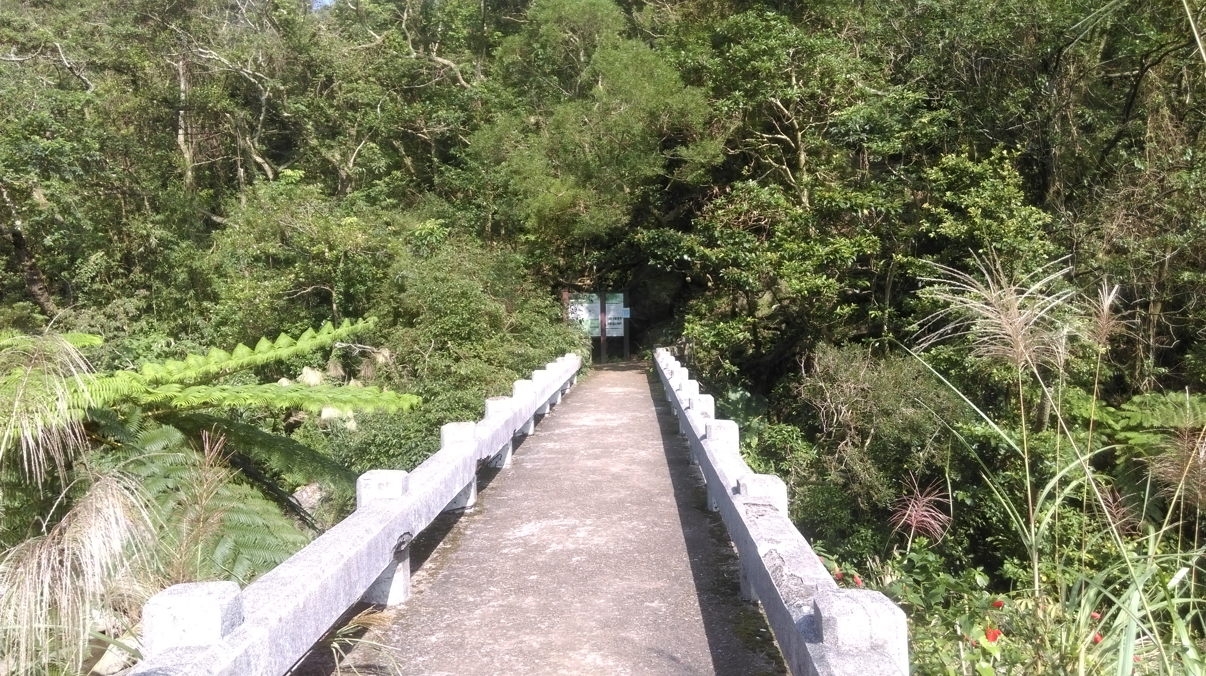
bridge crossing the stream
The trail quickly ends at a road after the bridge. Walk along the road downhill to the bus stop for the Small 18 bus. This bus comes every 30 minutes. Shengren Waterfall is located a few hundred meters down the road from the bus stop, though it isn’t much to look at.
Map of the Hike
