Xizhi, New Taipei City
Cuei Lake Loop Hike
This a great hike that goes over a few short peaks around a small lake. There are good views from some of the peaks, especially Laojiujian. The hike can be done either direction but if you go clockwise you’ll be able to go down more steps than up.
Length: 7.5km, 3.5 – 4 hours
Access: take bus 817 (runs every 20mins) from Taipei Nangang Exhibition Center MRT Station and get off at the 金龍湖 bus stop
Difficulty Level: 2/5
Trail Conditions: mostly dirt trail with short rope sections and wood supported steps
The Hike
Note: the pictures here show the hike being done in a counterclockwise direction. If you do the hike in a clockwise direction (as described here) you’ll be able to spend more time climbing with ropes and going down on the wooden steps.
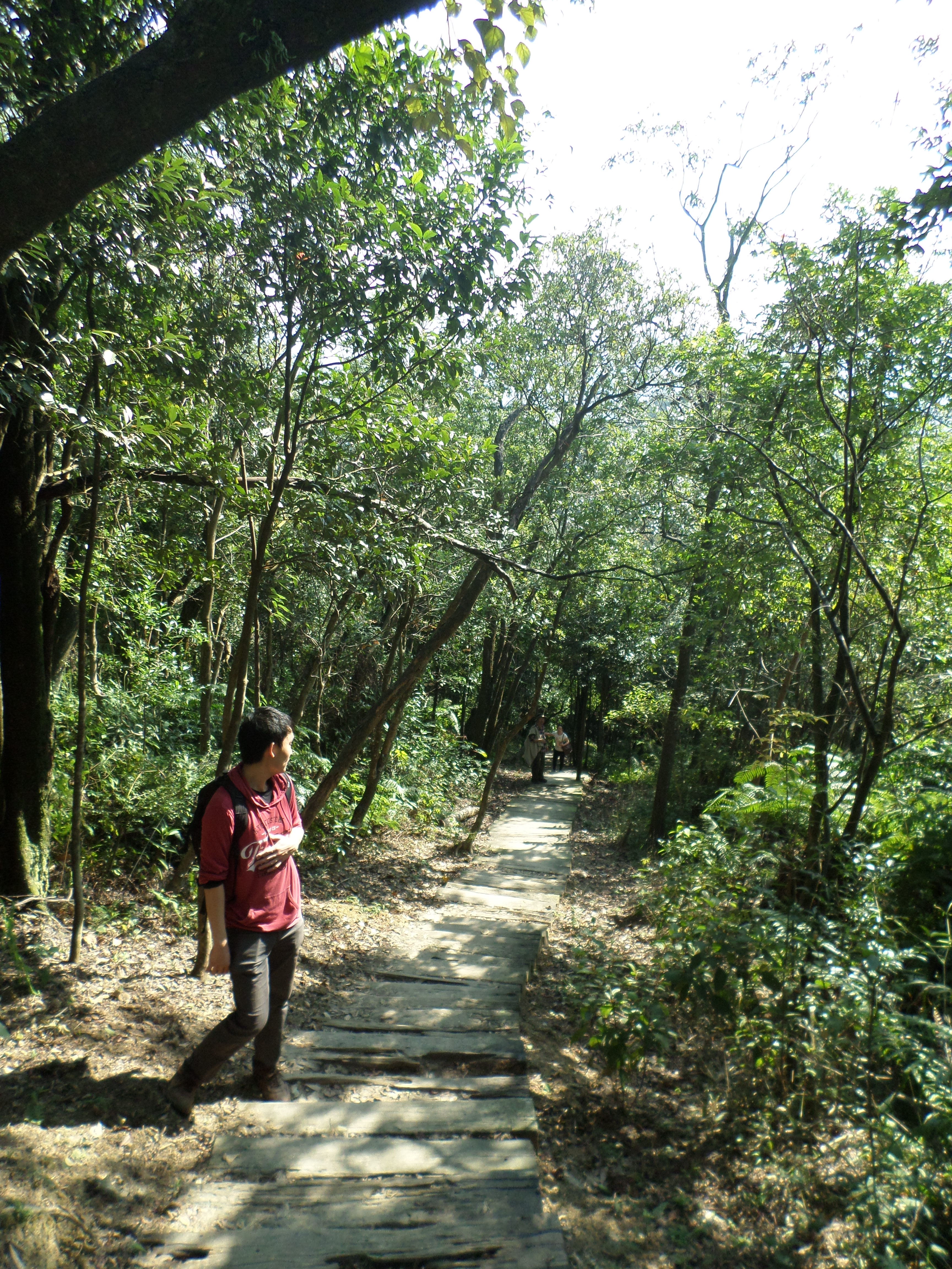
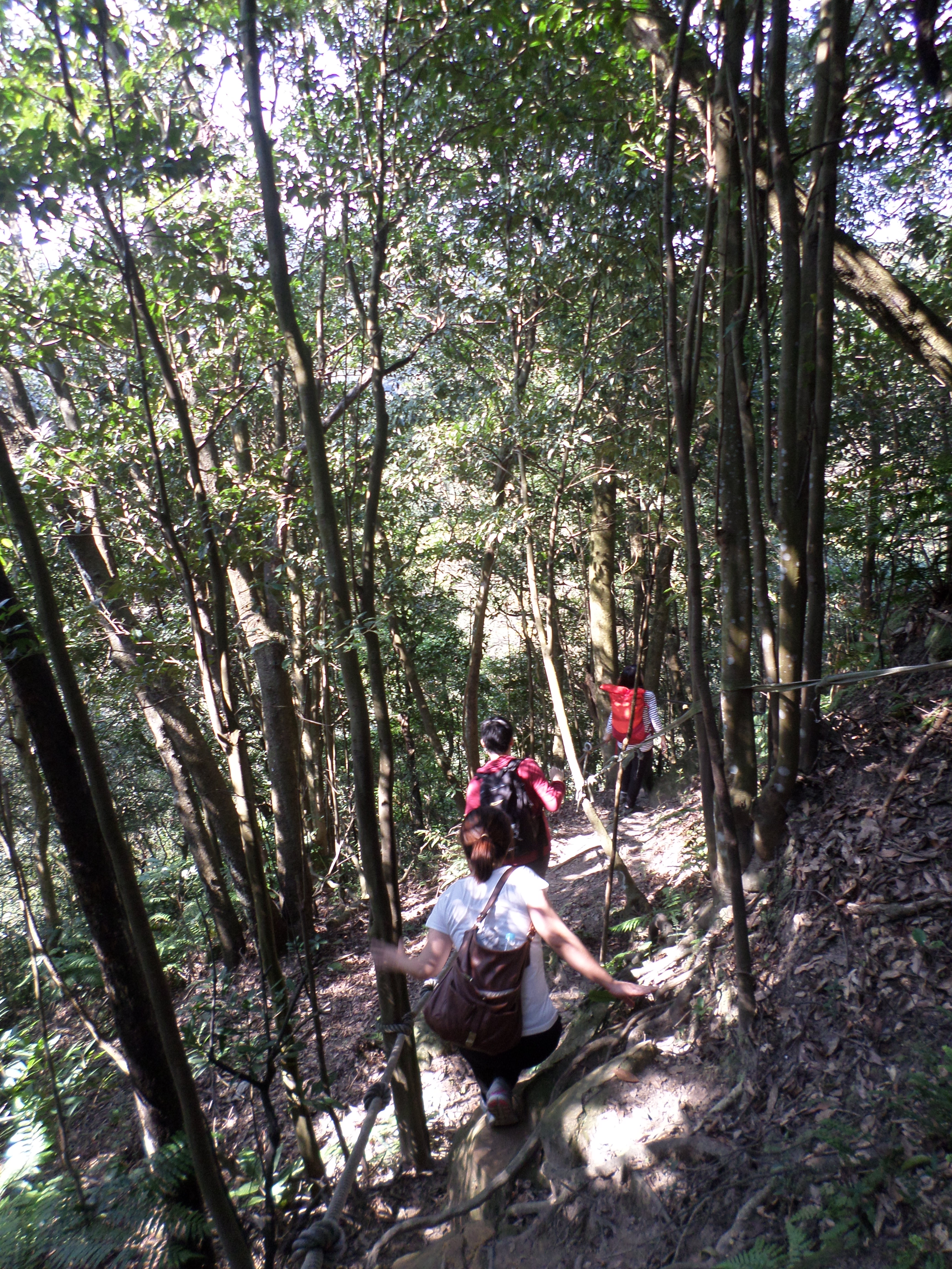
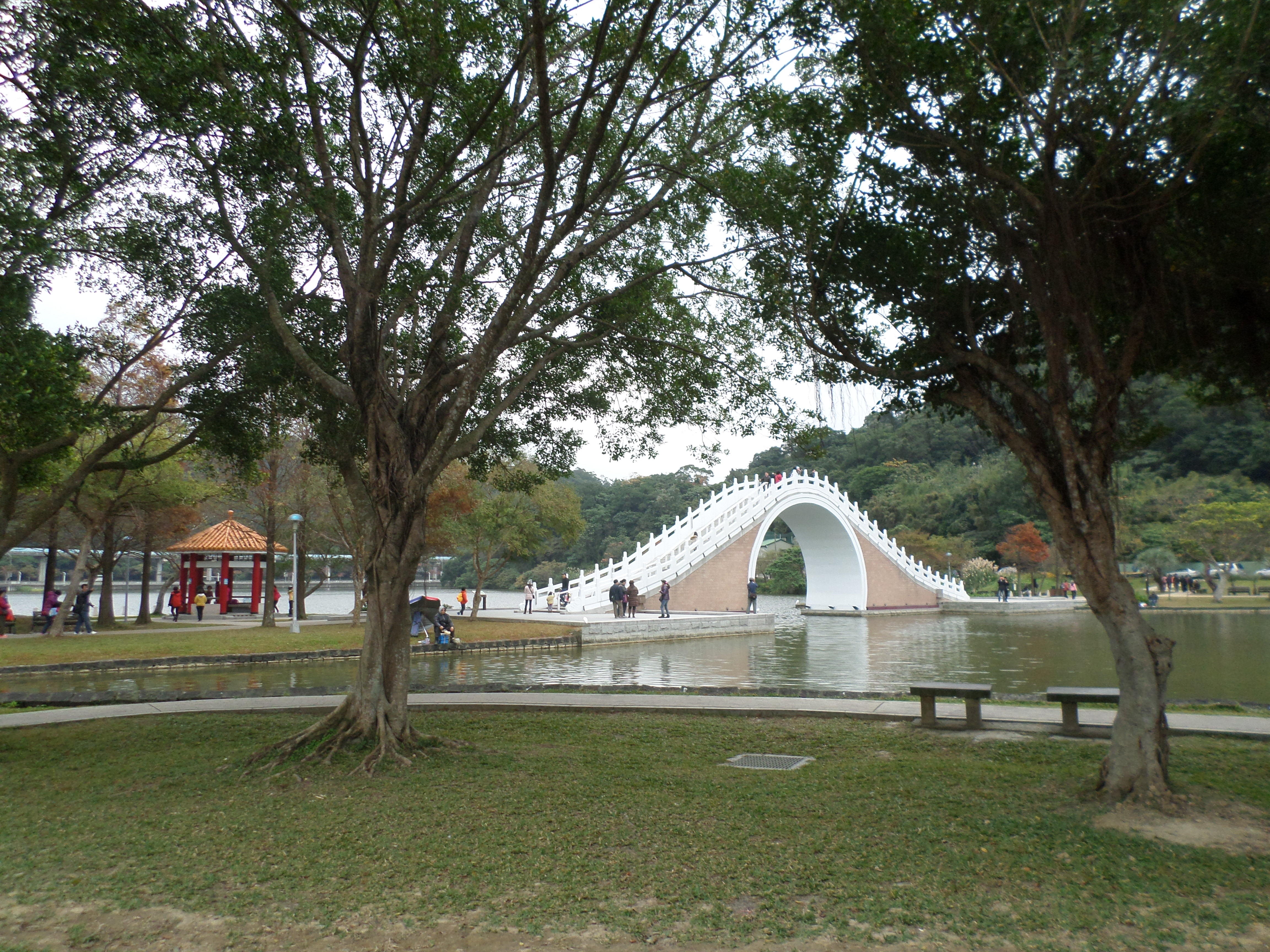
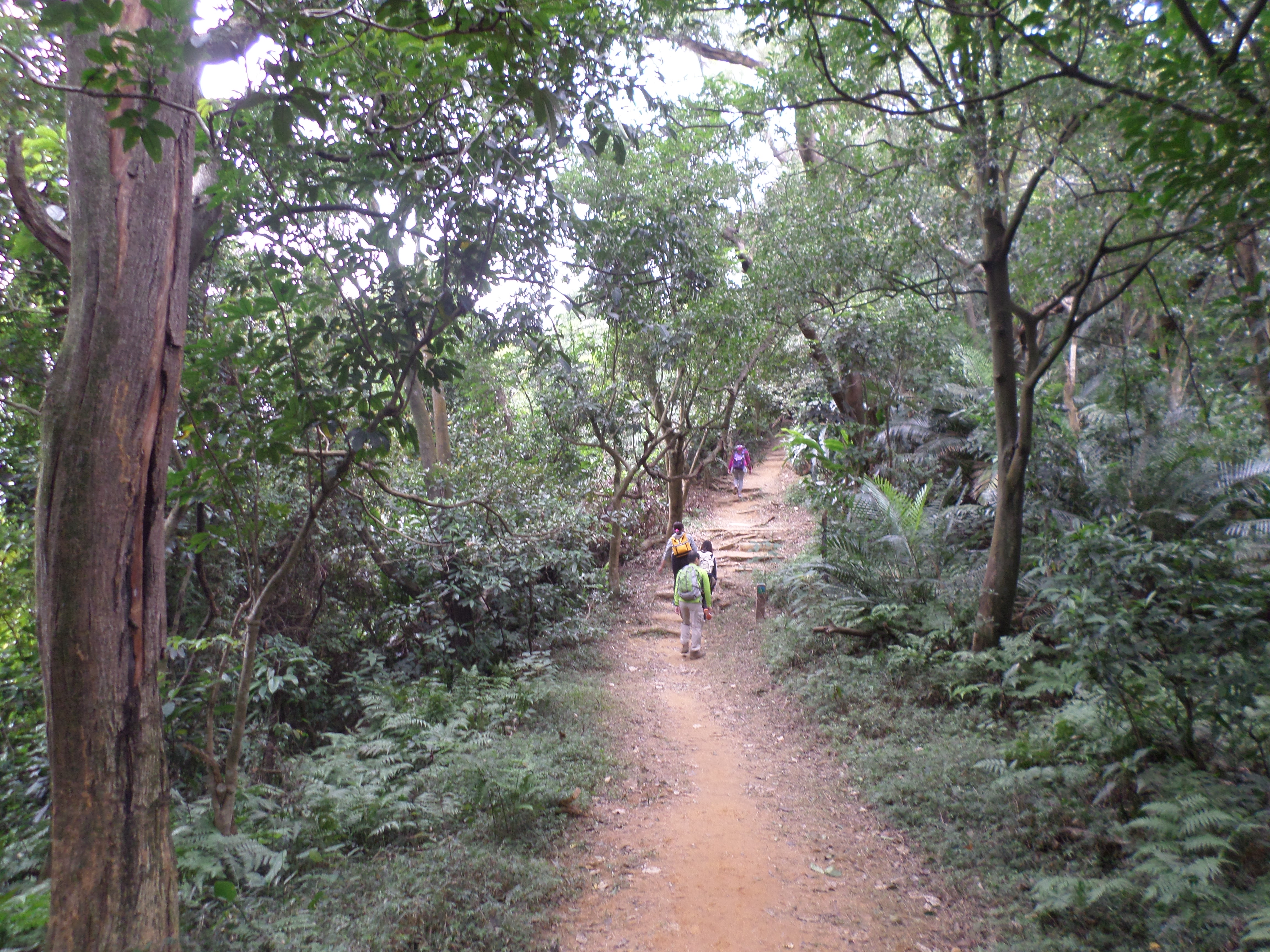
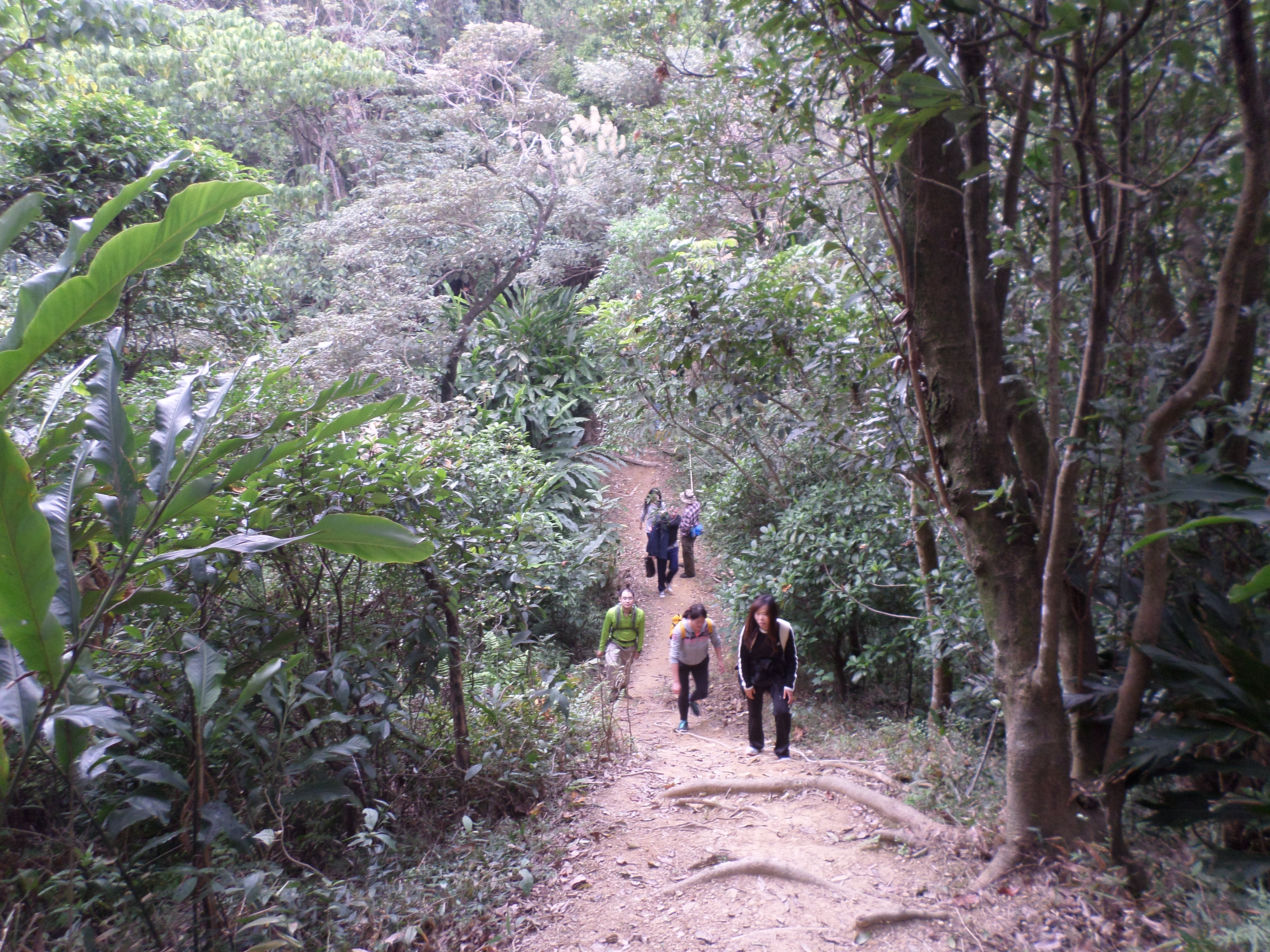
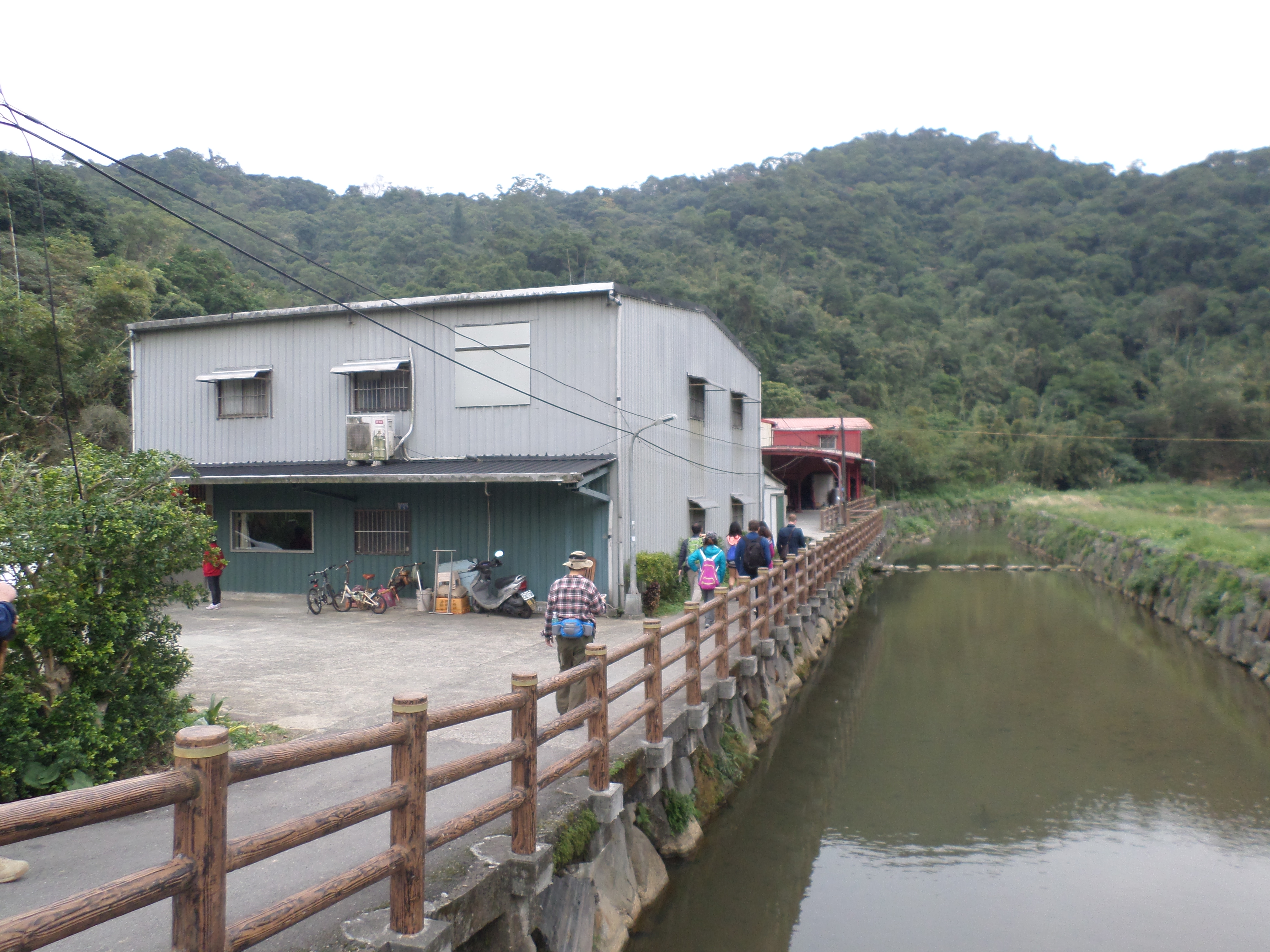
From the bus stop walk back a couple of hundred meters and take the first right. The road will climb up to Golden Dragon Lake. At the top of the small hill look for a lakeside walkway on the left. Walk along the lake until the path crosses part of the lake on a wooden bridge. At the bridge go up to the road then just follow the road. The road does not go all the way to Cuei Lake. On the way to the lake you’ll pass the end point of the hike. Just before the road dead ends look for the trail to lake starting on the right. The trail is well signposted in English with maps showing the way as well. At all turns there is a map of the trail, otherwise keep going straight at any trail junctions. This guide follows the main trail that is marked in red on the maps.
 walking along Golden Dragon Lake |
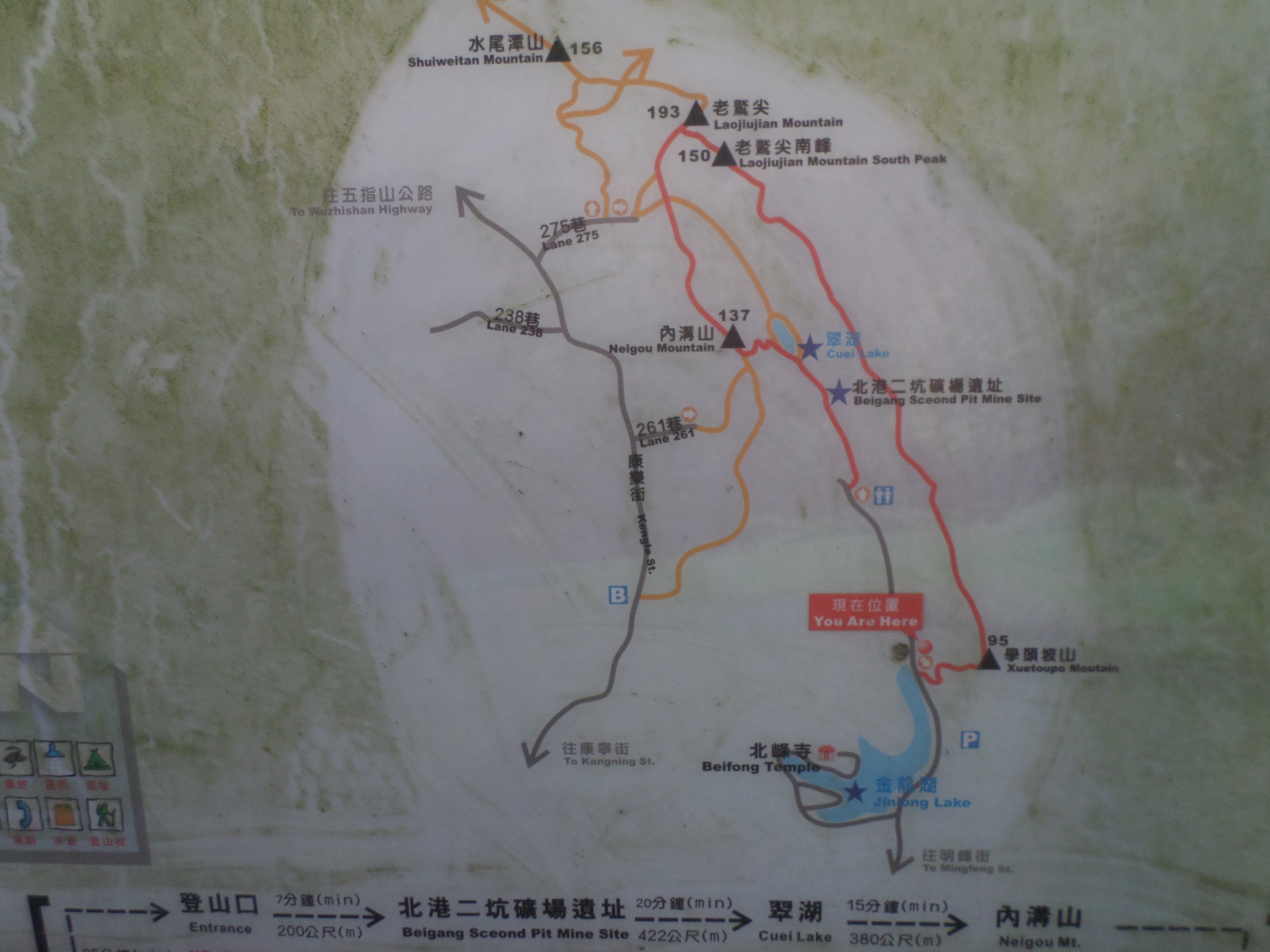 trail map |
From the start of the trail near the end of the road it is mostly a flat hike to the lake. Along the way you’ll pass some ruined mining buildings. The lake itself is very small, just a pond really, but is very pretty.
 ruined mining building |
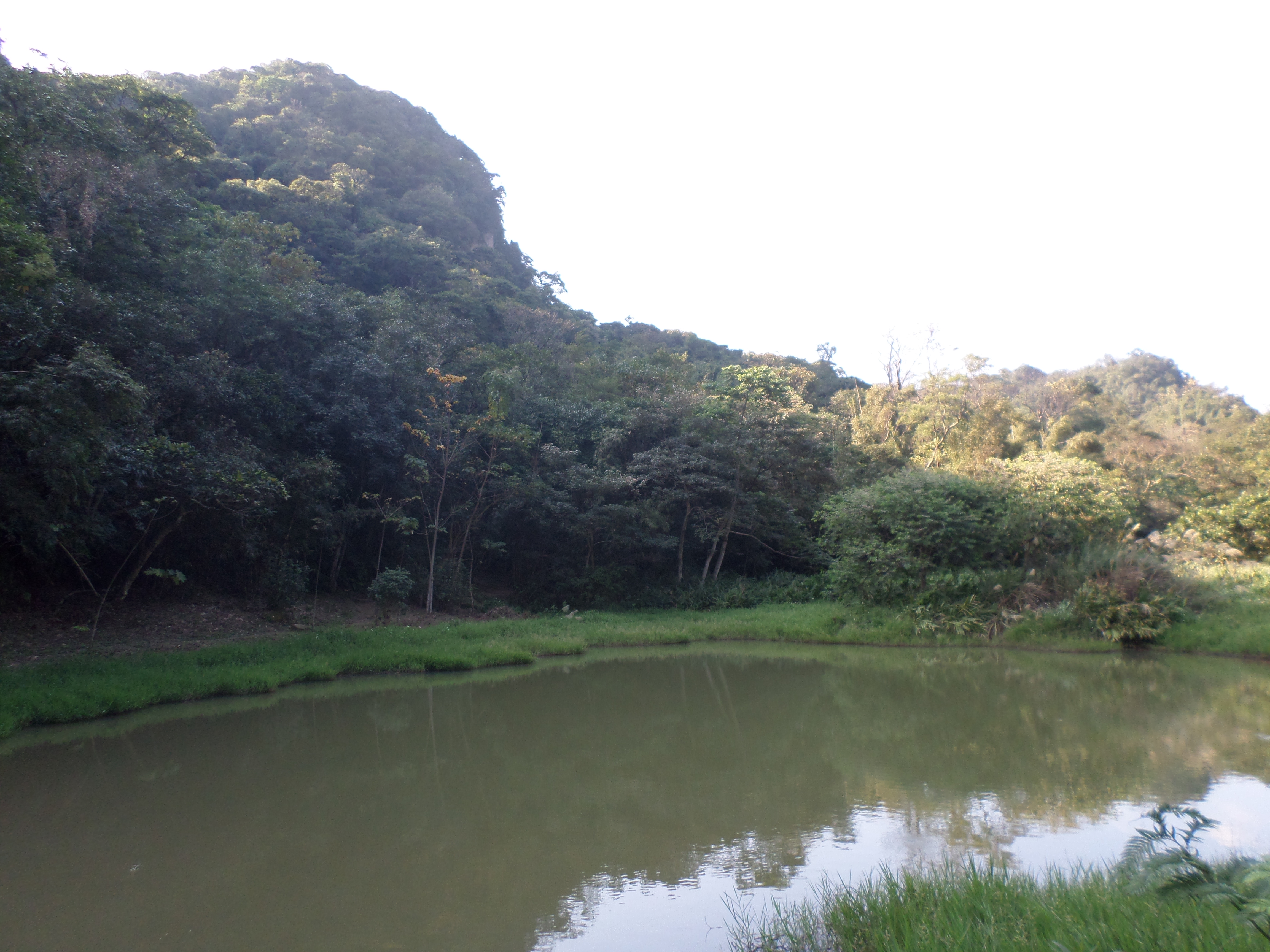 Cuei Lake |
At the lake turn left and cross the bridge over the small outlet stream. From the west side if the lake the trail climbs up to the first peak, Neigou Mountain. It is a steep, zig zag climb of stone steps to the top. Before the peak there is a nice viewpoint over the lake and a rather fancy table you can rest on. On the peak there are also a couple of benches but you can’t see the lake from here.
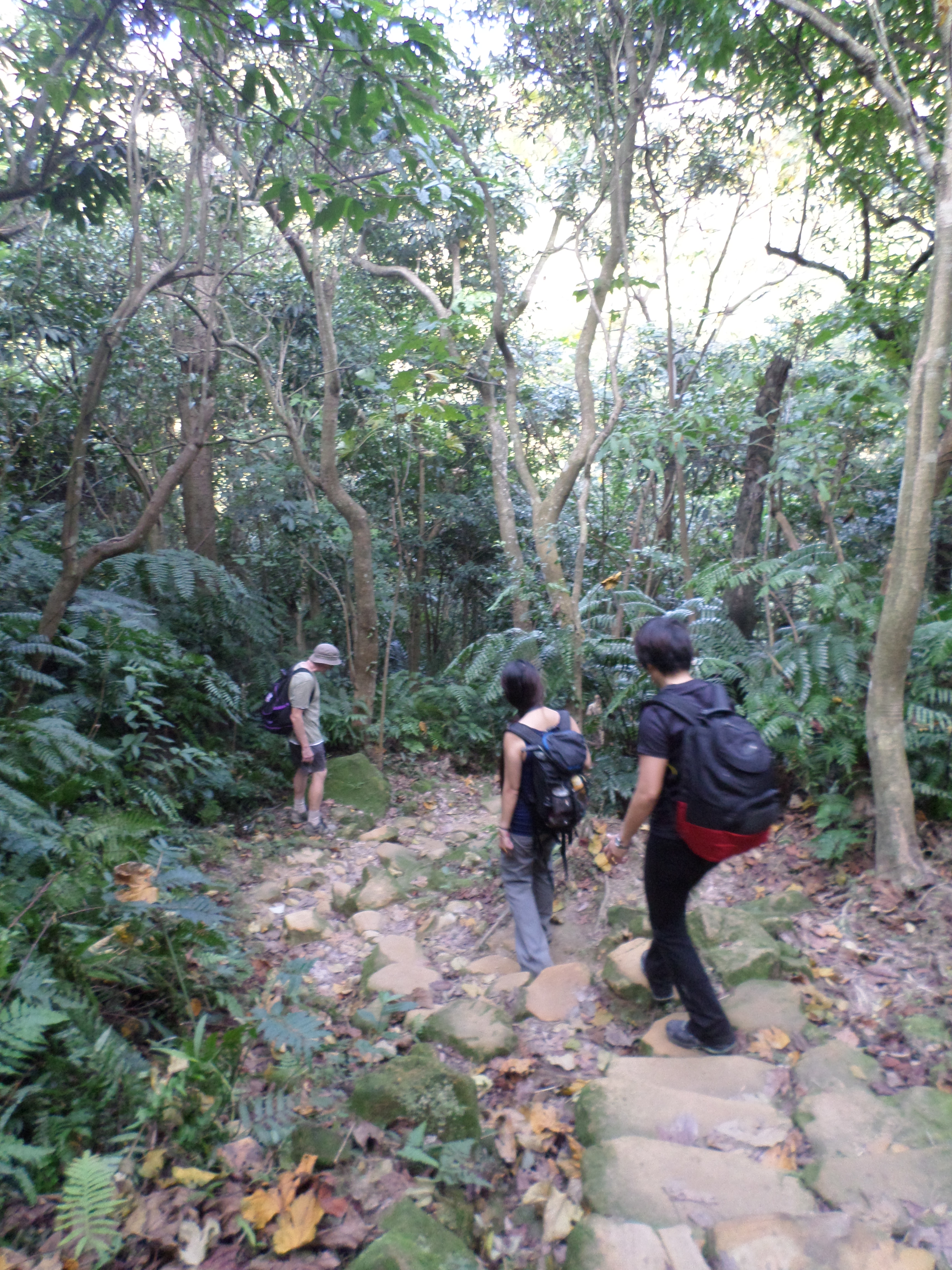 trail from the lake to Neigou Mountain |
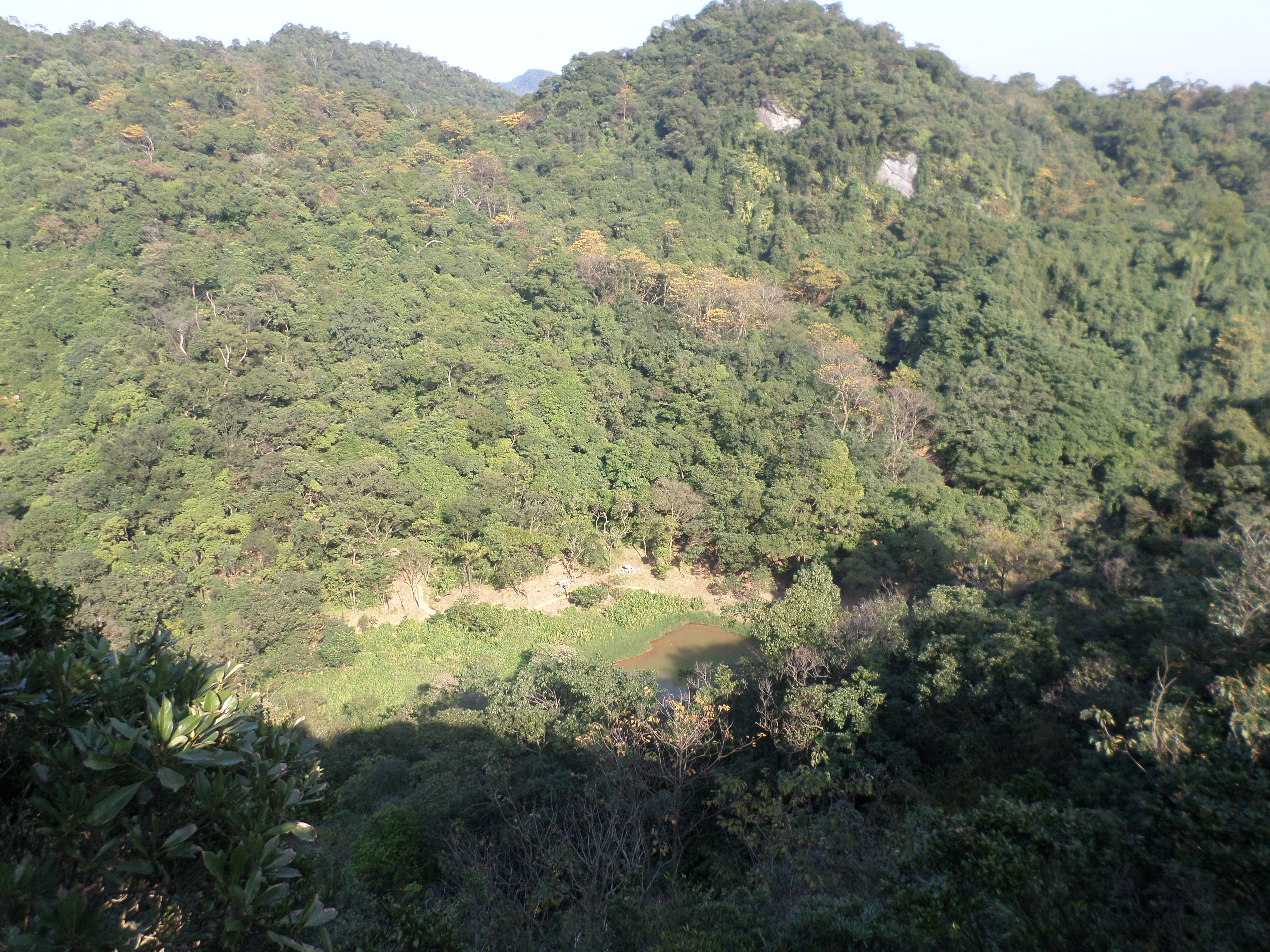 view of Cuei Lake from the top |
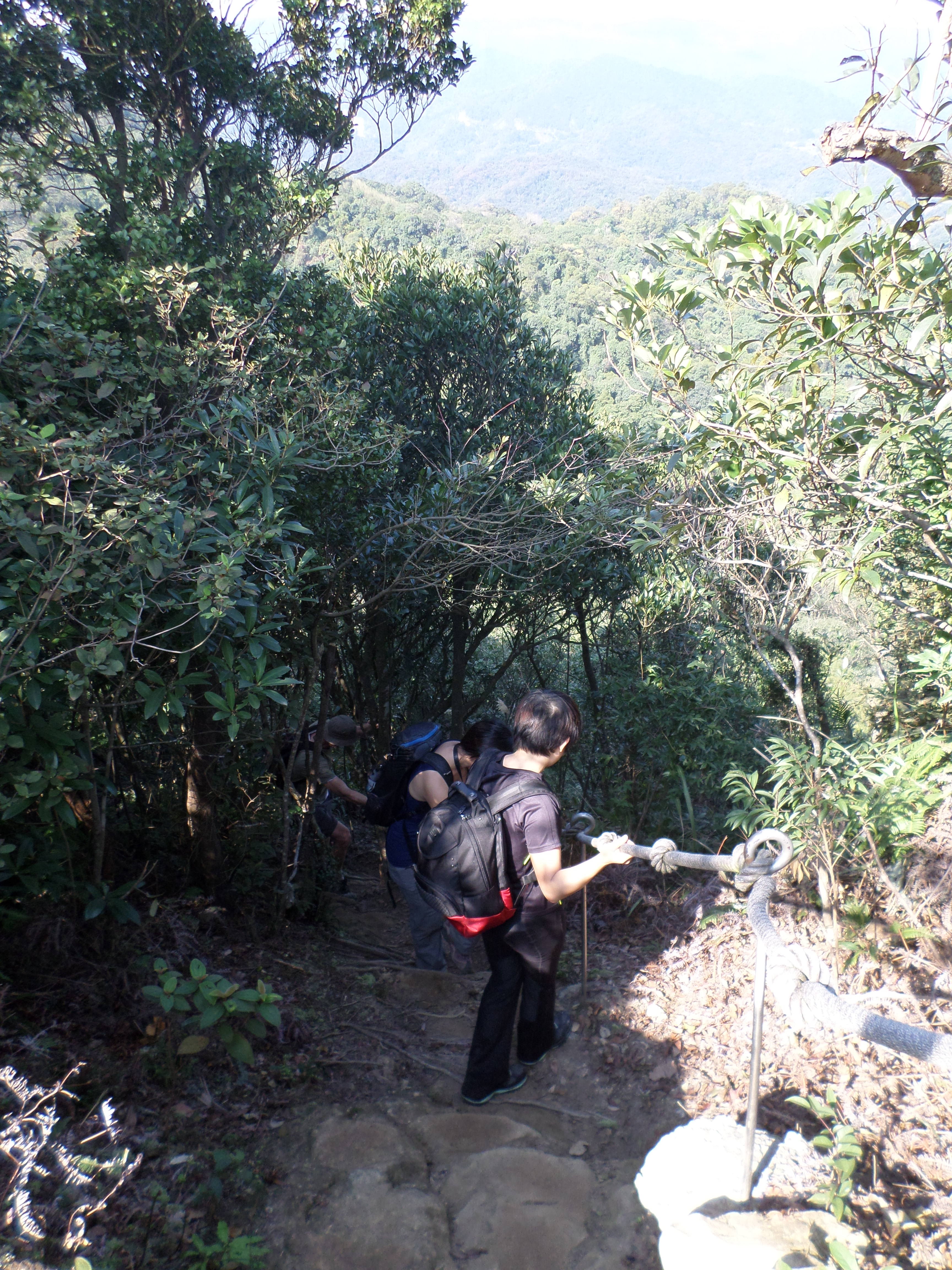
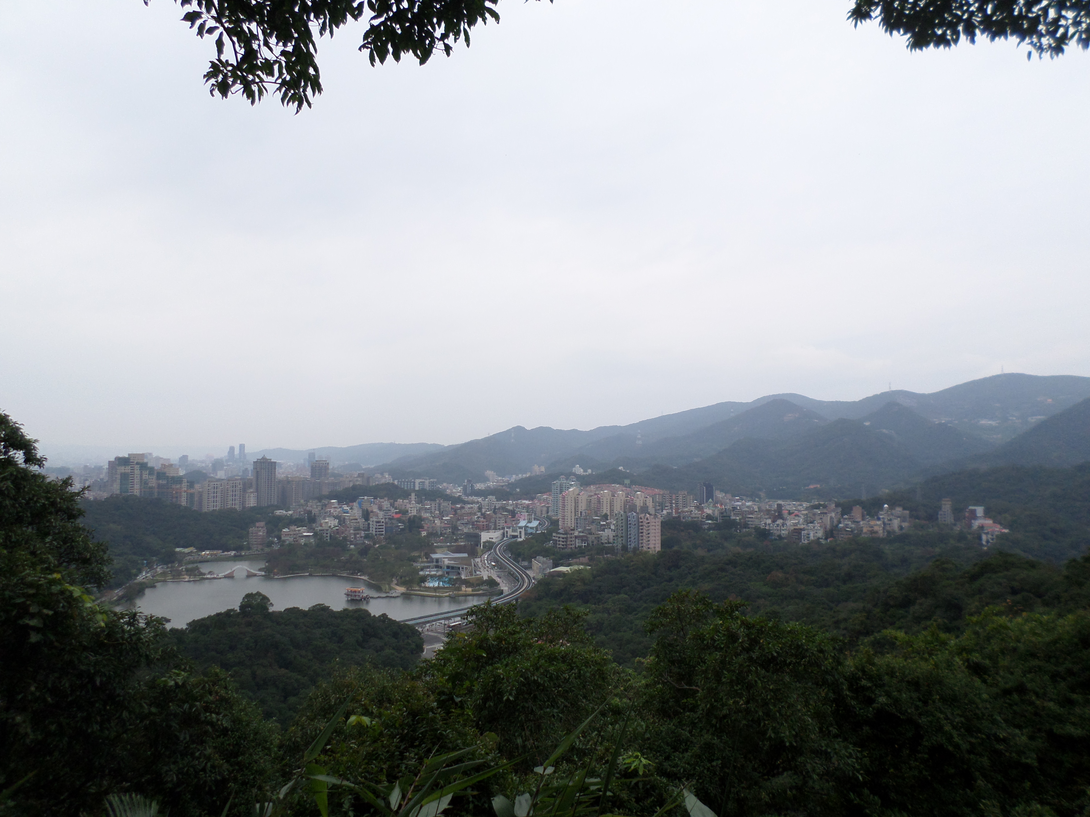
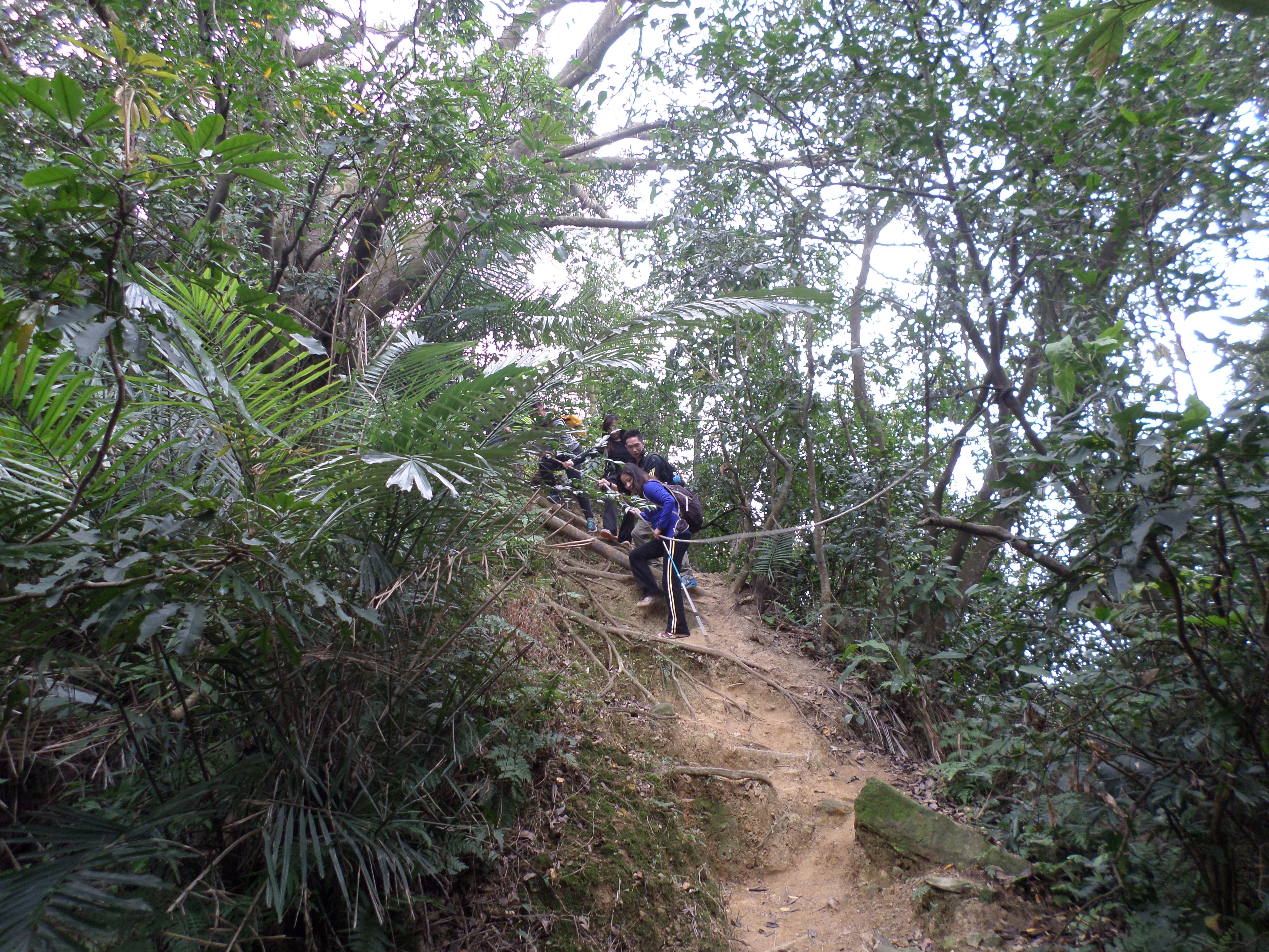
Going down the other side of the peak is a very steep rope assisted descent. After you climb down the dirt trail will lead around north of the lake before climbing by wooden steps to Laojiujian Mountain. The “jiu” in the name means eagle, and the peak is indeed a good place spot eagles. They can often be seen soaring high above the valley below. There are a couple of benches at the top where you can rest and great views of the surrounding mountains.
 Neigou Mountain |
 trail to Laojiujian Mountain |
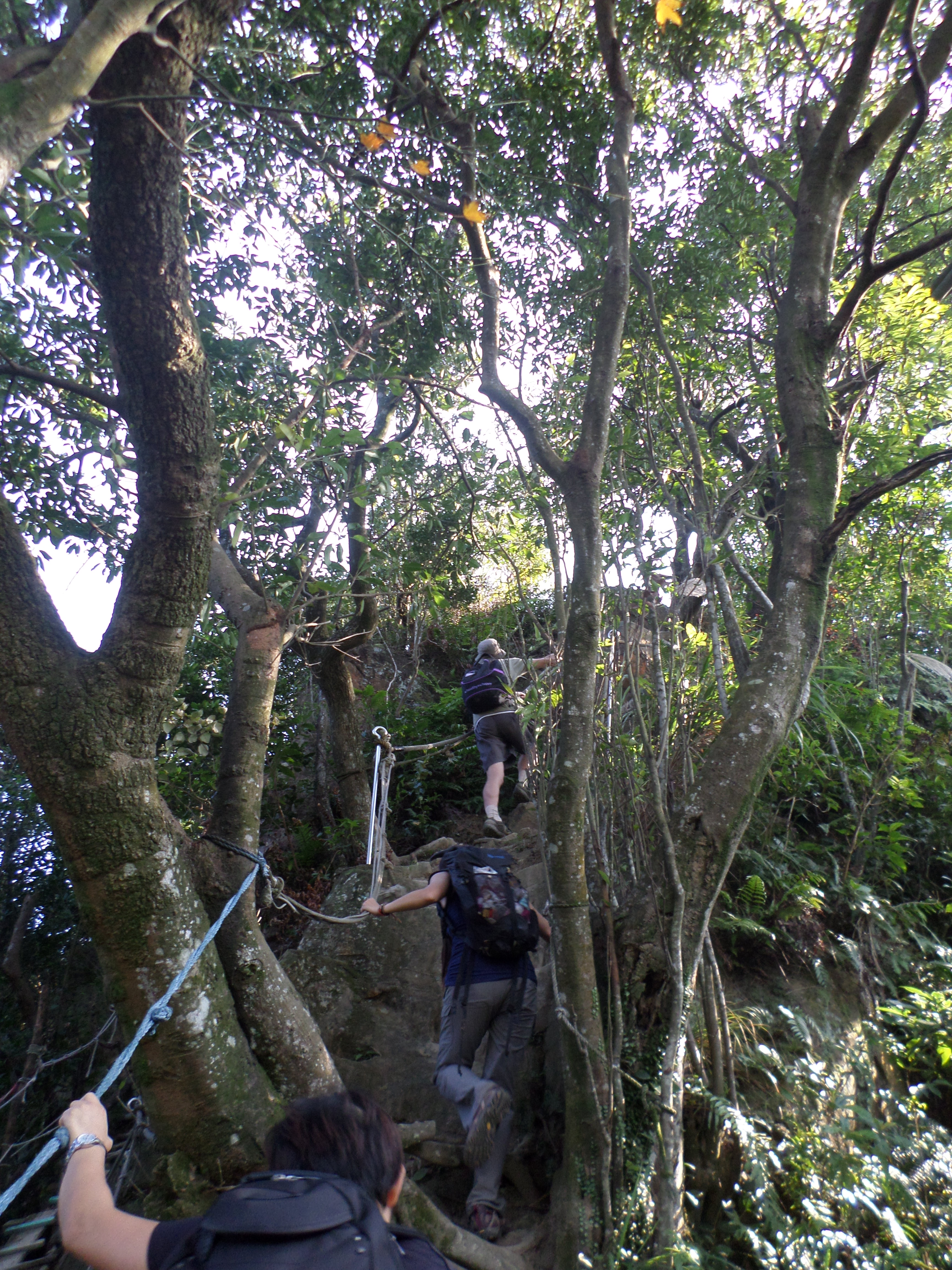
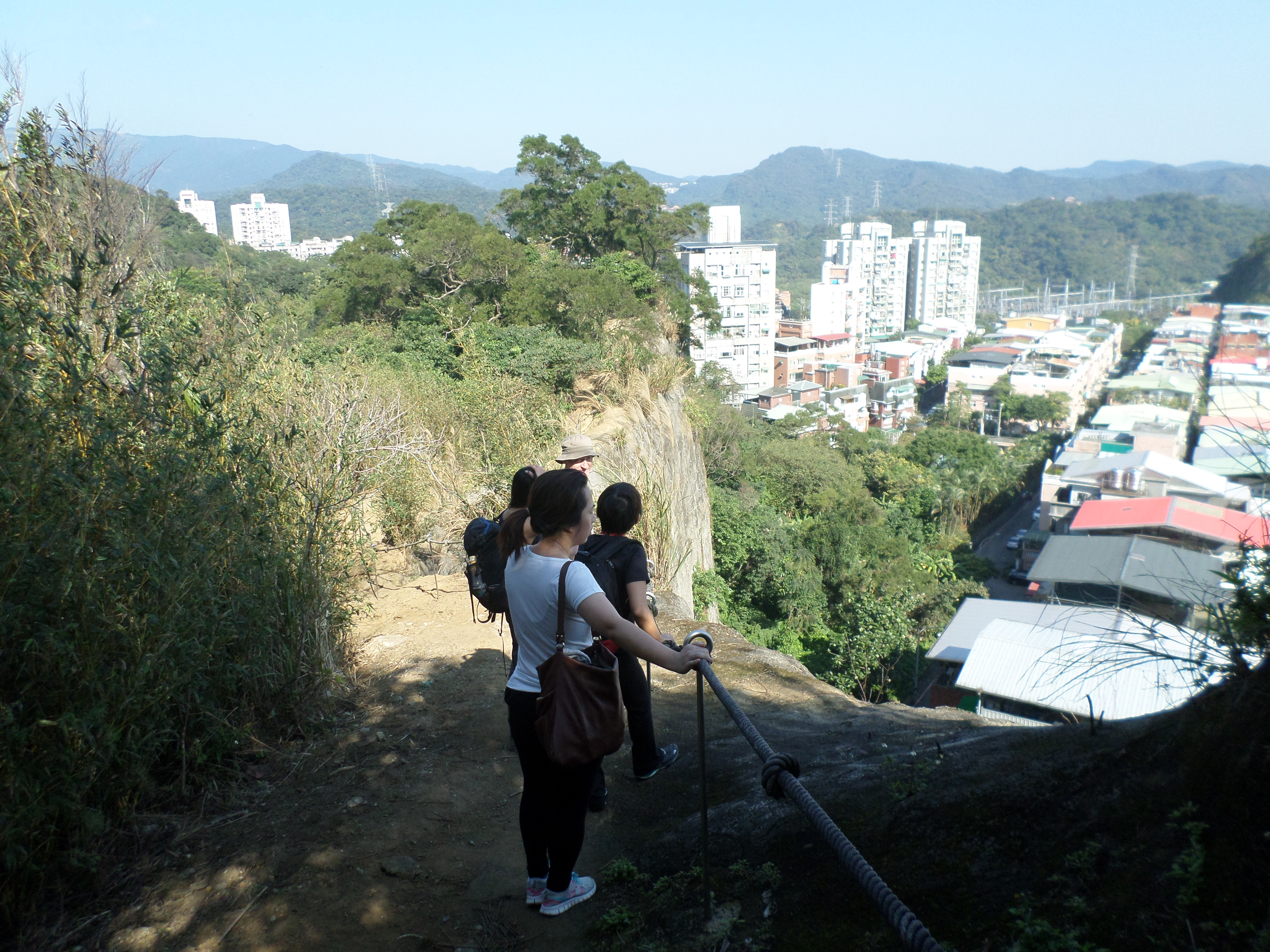
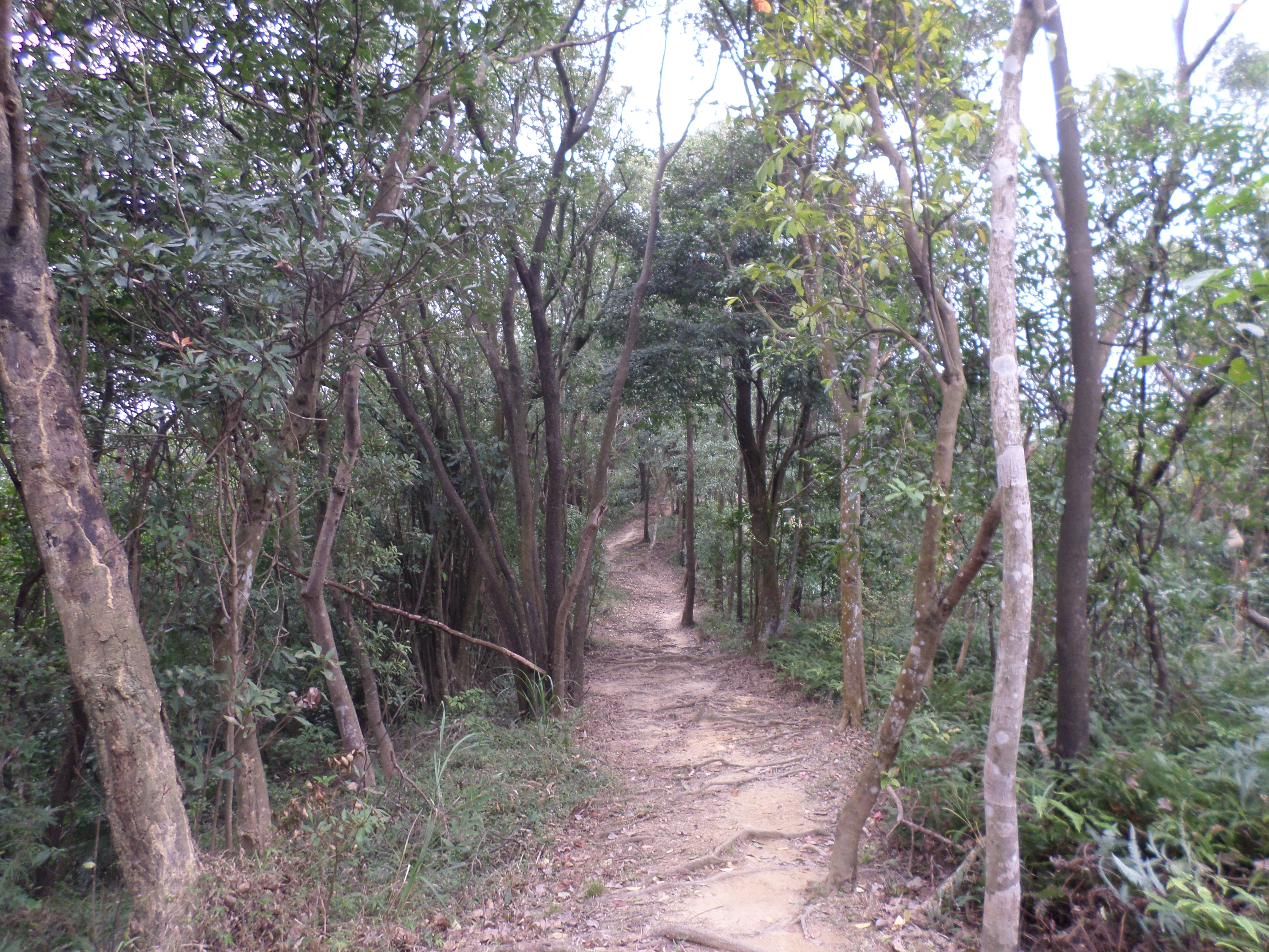
From Laojiujian the trail goes over several peaks on the east side of the lake. From the peak return back down the wooden steps to the fork below. From here the trail will make a short descent then climb back up Laojiujian Mountain South Peak. After the south peak the trail makes another descent then climbs up an exposed ridge with the aid of a short ladder and ropes.
 trail near Laojuijian |
 near Laojiujian South Peak |
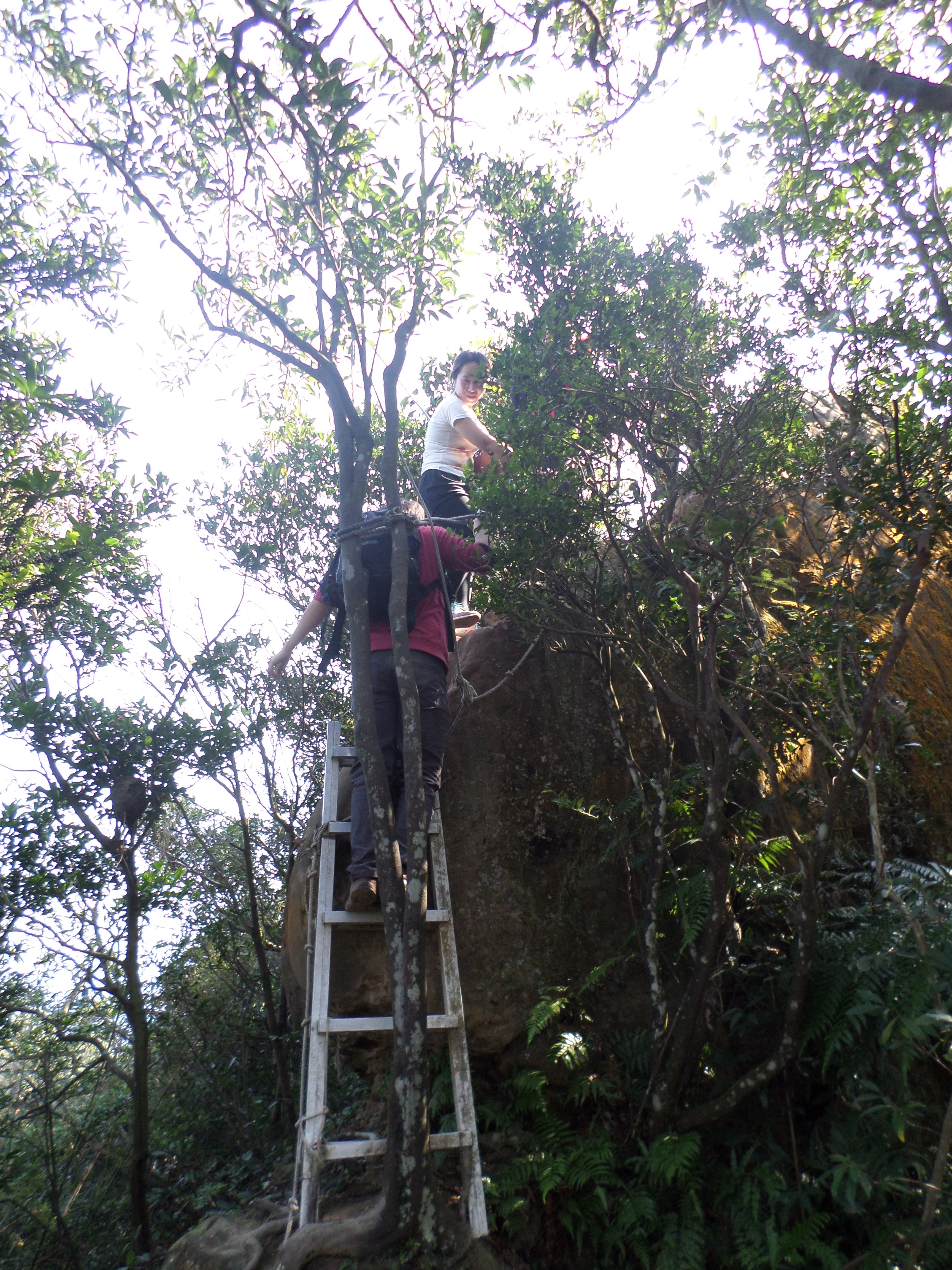 climb the short ladder |
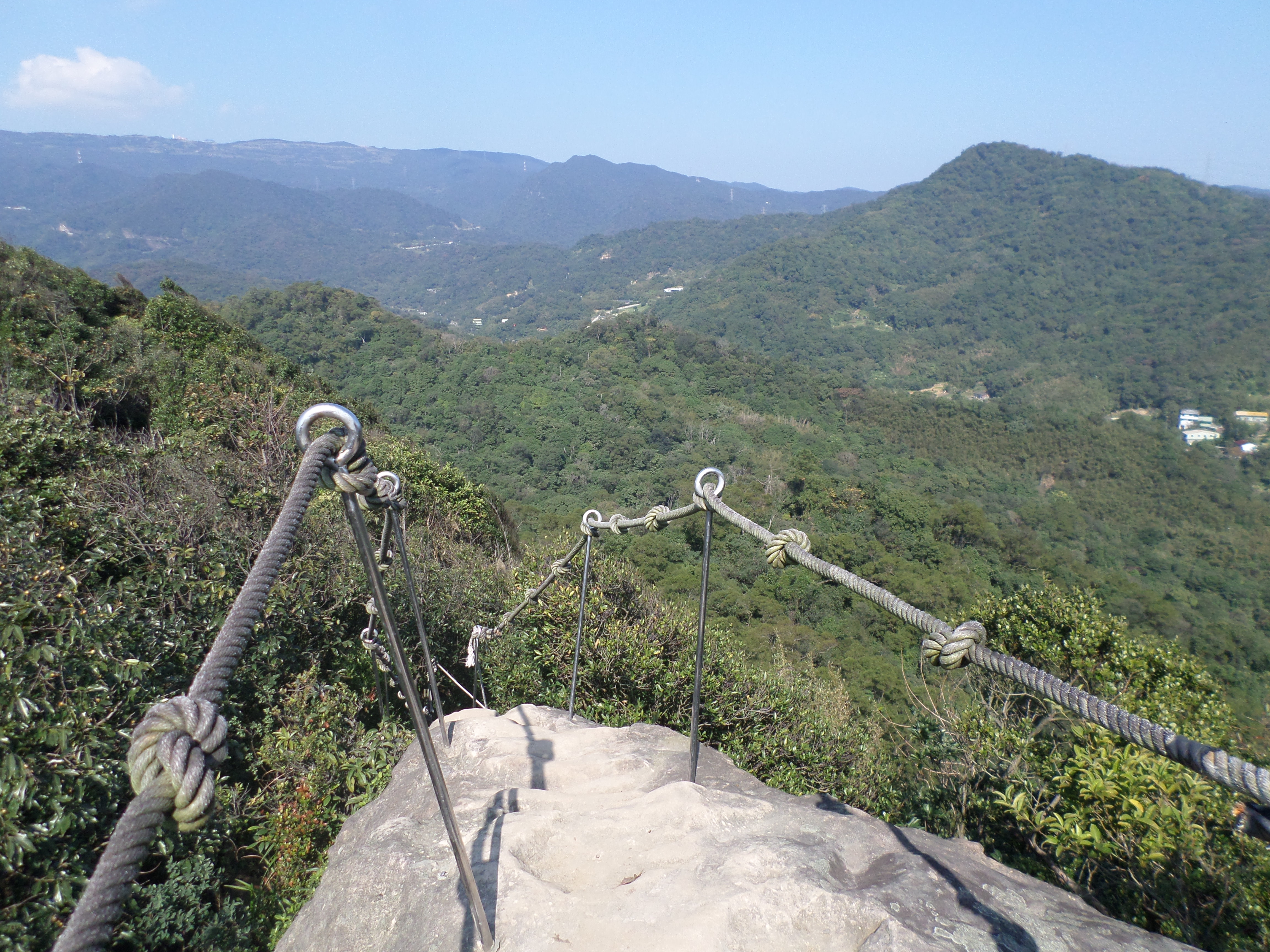 exposed ridge |
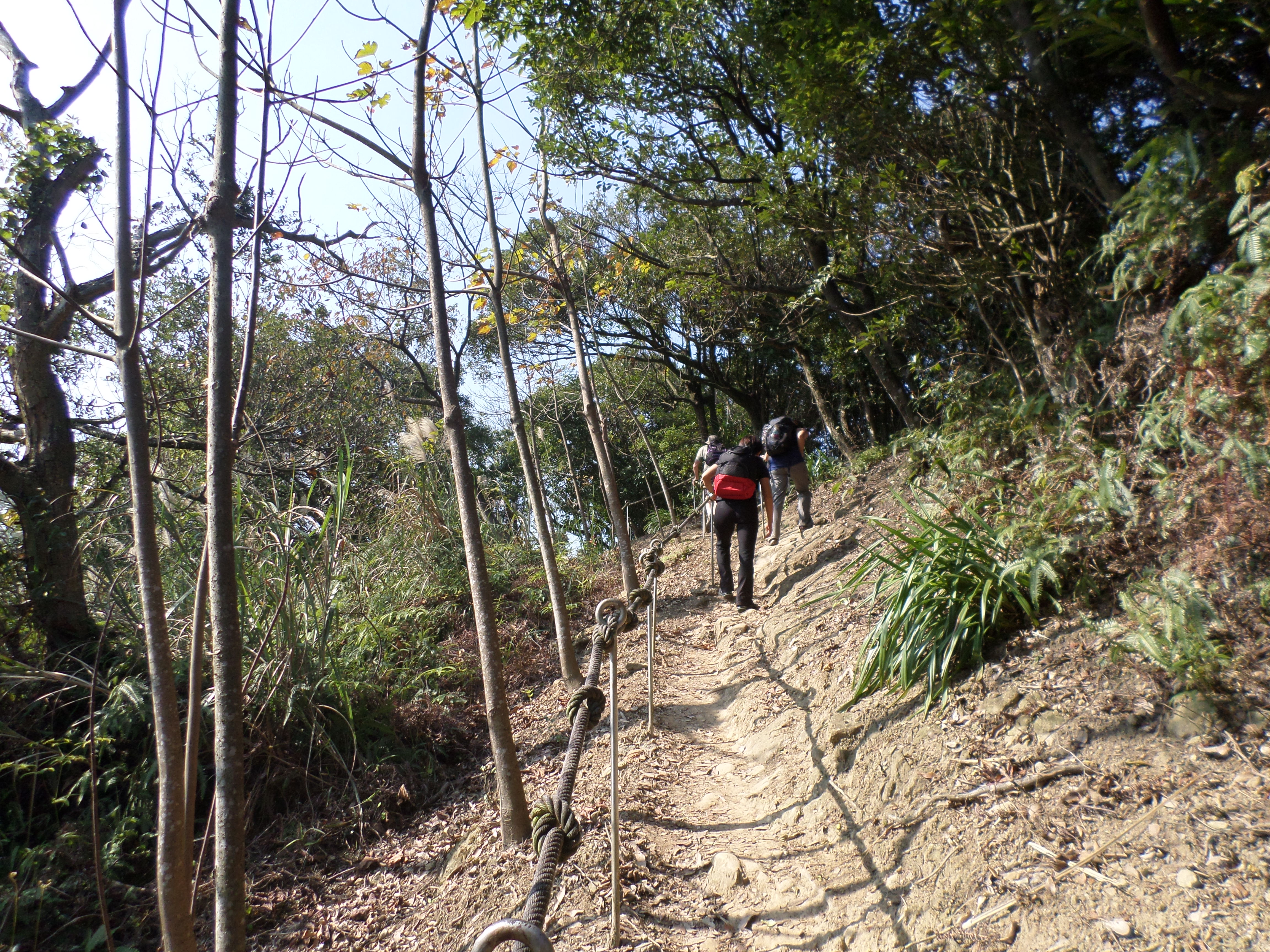
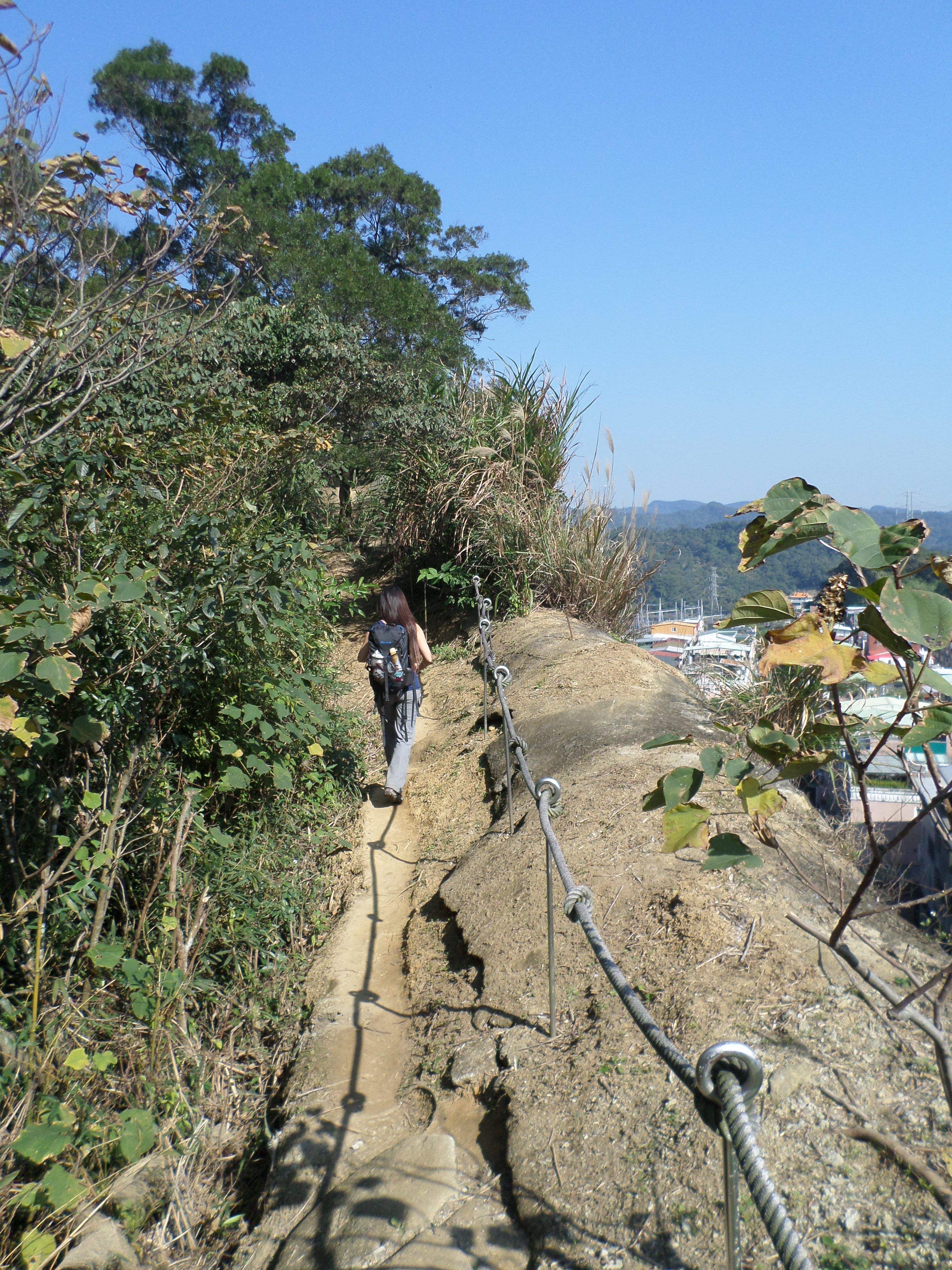
From the exposed ridge there is a long descent on wood-supported steps. The trail will continue to go up and down using wooden steps and ropes. The trail will also go along the top of several cliff faces. After you reach an electrical pylon, the trail descends by wooden steps back down to the road near Golden Dragon Lake.
 long wooden steps |
 short climbs |
 exposed cliff edge |
 hiking near a cliff |
 another cliff |
 wooden steps lead down to the road and the end of the hike |
Dahu Park to Cuei Lake Trail
There is a trail that goes over the hills from Dahu Park MRT Station to Cuei Lake, this can be added onto the loop hike as well.
Access: take the MRT to Dahu Park Station
Length: 6km, 2.5 hours
Difficulty Level: 2/5
Trail Conditions: mostly dirt trail with short rope sections, steep stairs at the start
The Hike
 Dahu Park |
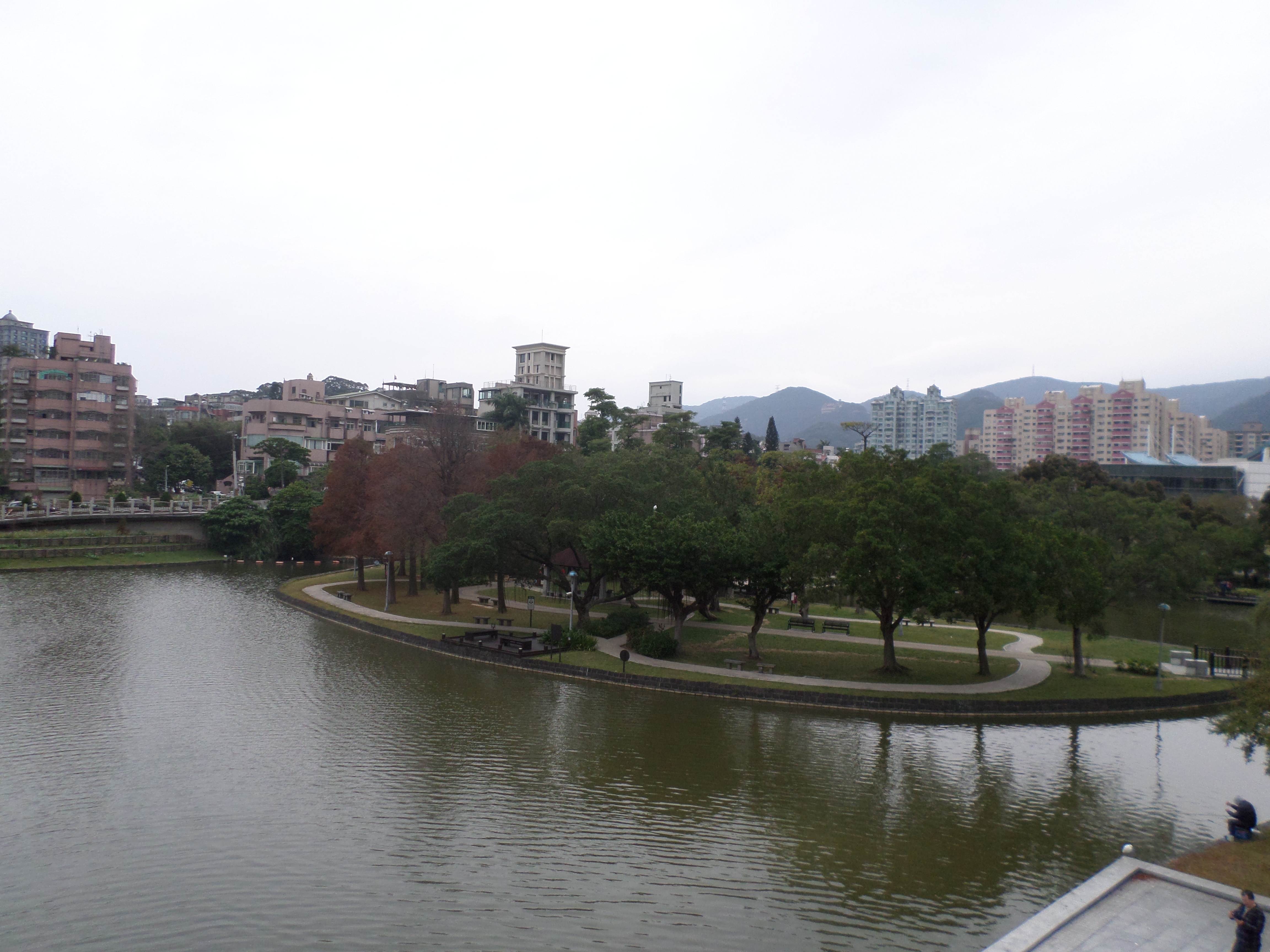 Dahu Park |
trail starts here
From the MRT station you can either walk through the park or walk along Chenggong Rd. towards Nangang. The trail starts on the left side of Chenggong Rd. just past the south end of Dahu Lake. The trail begins between two shacks marked by flags and is signposted for Kangleshan Hiking Trail.The start of the trail is concrete steps that climb steeply upwards. After passing a garden plot it will change to a dirt trail. Follow the trail signposted for Mt. Kangle. The trail with steps supported by wooden beams will climb up, passing a clearing where you can get a good view of Dahu Park below. Turn left when you reach a trail junction signposted for Rubbing Station (if you keep going straight the summit of Mt. Kangle is about 5 minutes further ahead where there is a good view of the Nangang area, afterwards return back to the trail junction).
 trail going up Mt. Kangle |
 view of Dahu Park |
After the junction the trail will descend then pass an electrical pylon. Then it heads back into the trees and travels through the forest before descending further and emerging onto the terrace of a small temple.
 trail descending Mt. Kangle towards Rubbing Station |
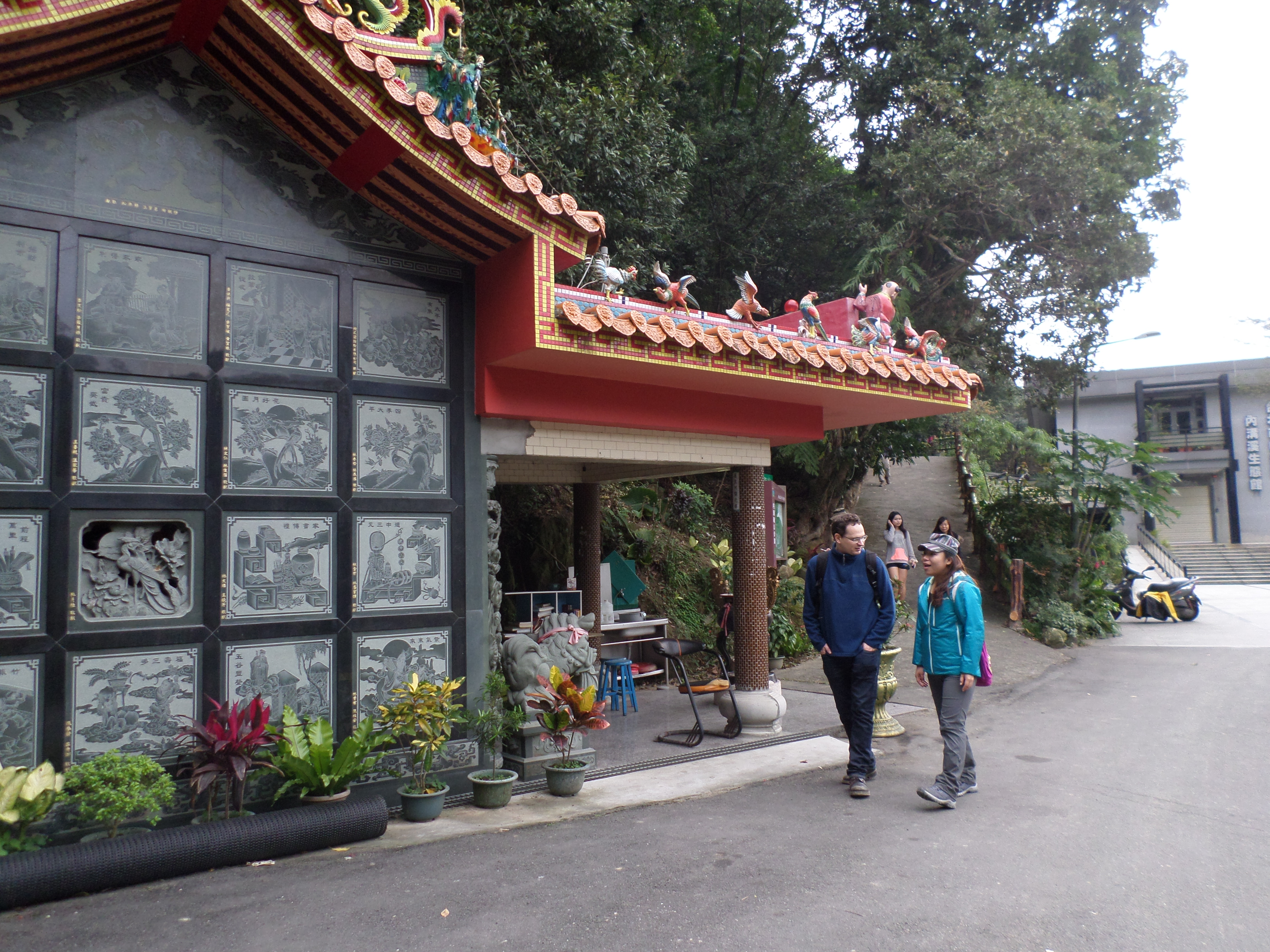
 Mt. Kangle trail ends at this temple |
From the temple turn right and walk along the road to a T-intersection up ahead. Turn right at the intersection and the trail starts ahead on the left side, there is a hiking map of the trail here. This the start of the Mingjushan Hiking Trail. The rubbing station is on the right side near the trail entrance.
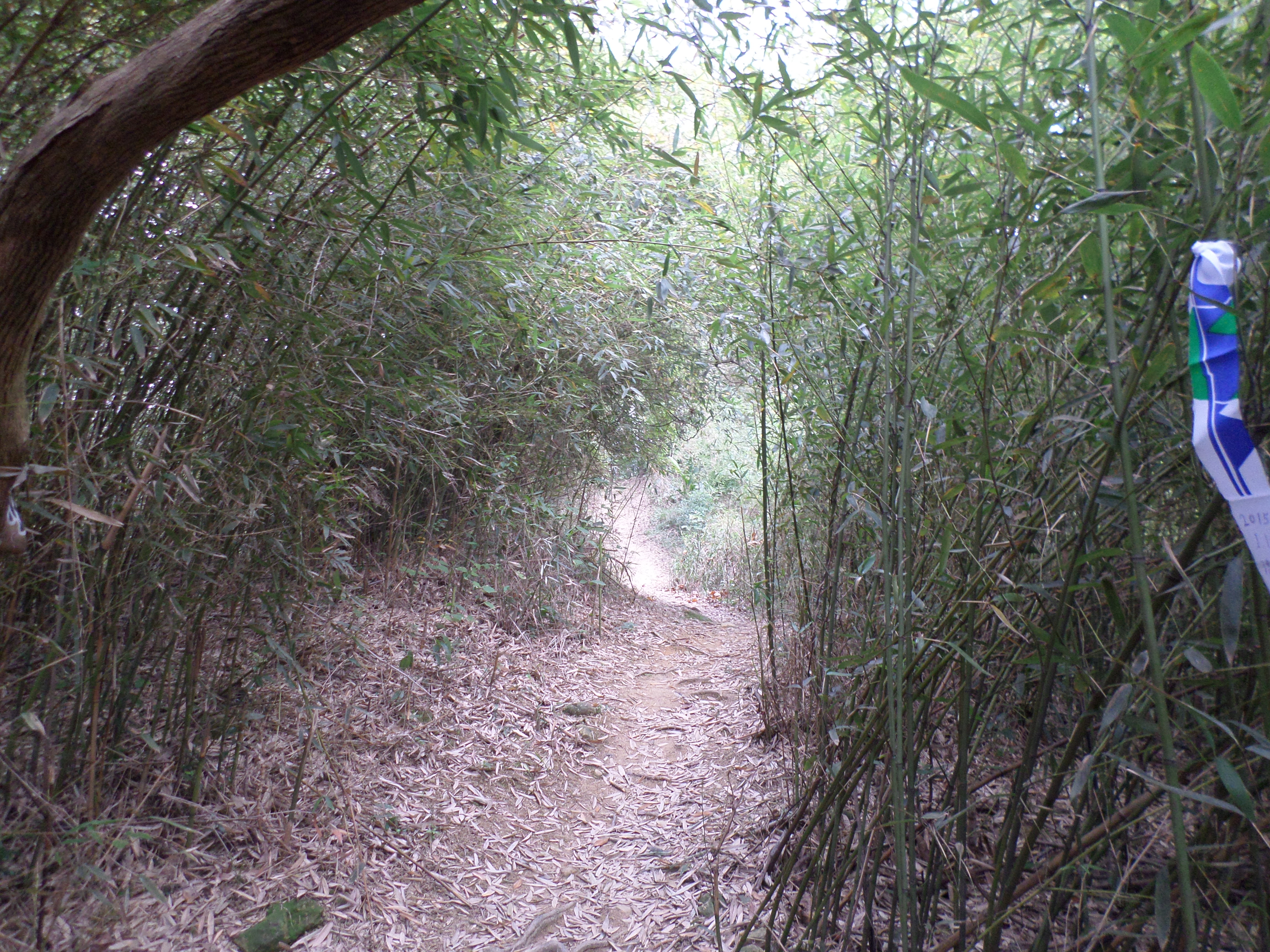
From the road the trail climbs steeply at first. There are some short up and down sections along the trail, sometimes with the aid of ropes. Go right when you come to an unmarked trail junction. When you come to some stone steps coming up and ending at a couple of benches keep going straight following the dirt trail. The trail will end at another small temple and where a road crosses a stream.
 Mingjushan Hiking Trail |
 Mingjushan trail |
 Mingjushan trail |
 Mingjushan trail |
 Mingjushan Trail |
 small temple at the end of the trail |
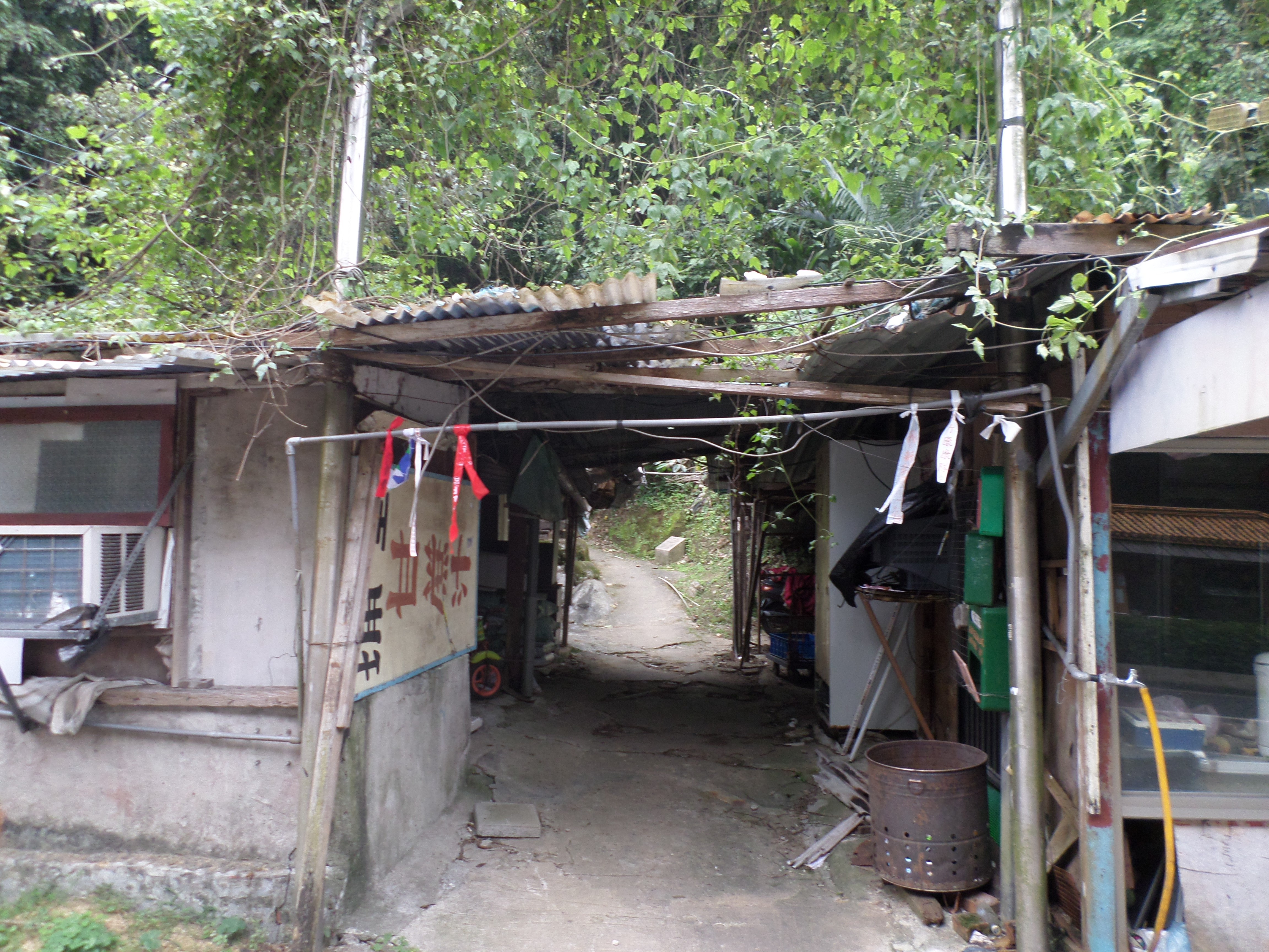
From here there are no more signs or maps indicated the way to go. Cross the road then cross the stream on the stepping stones next to the bridge. Walk along the pathway beside the stream around a 90 degree turn. Climb the steps at the end of the pathway near another bridge. Keep going straight past the bridge and walk through the tiny village at the end of the road. There is a trail at the end of the village marked by flags. This narrow trail climbs up to the top of a ridge next to Cuei Lake. Follow the hiking flags marking the way up. At the top turn left, climb up a short distance and you’ll come the main trail that loops over the peaks around the lake.
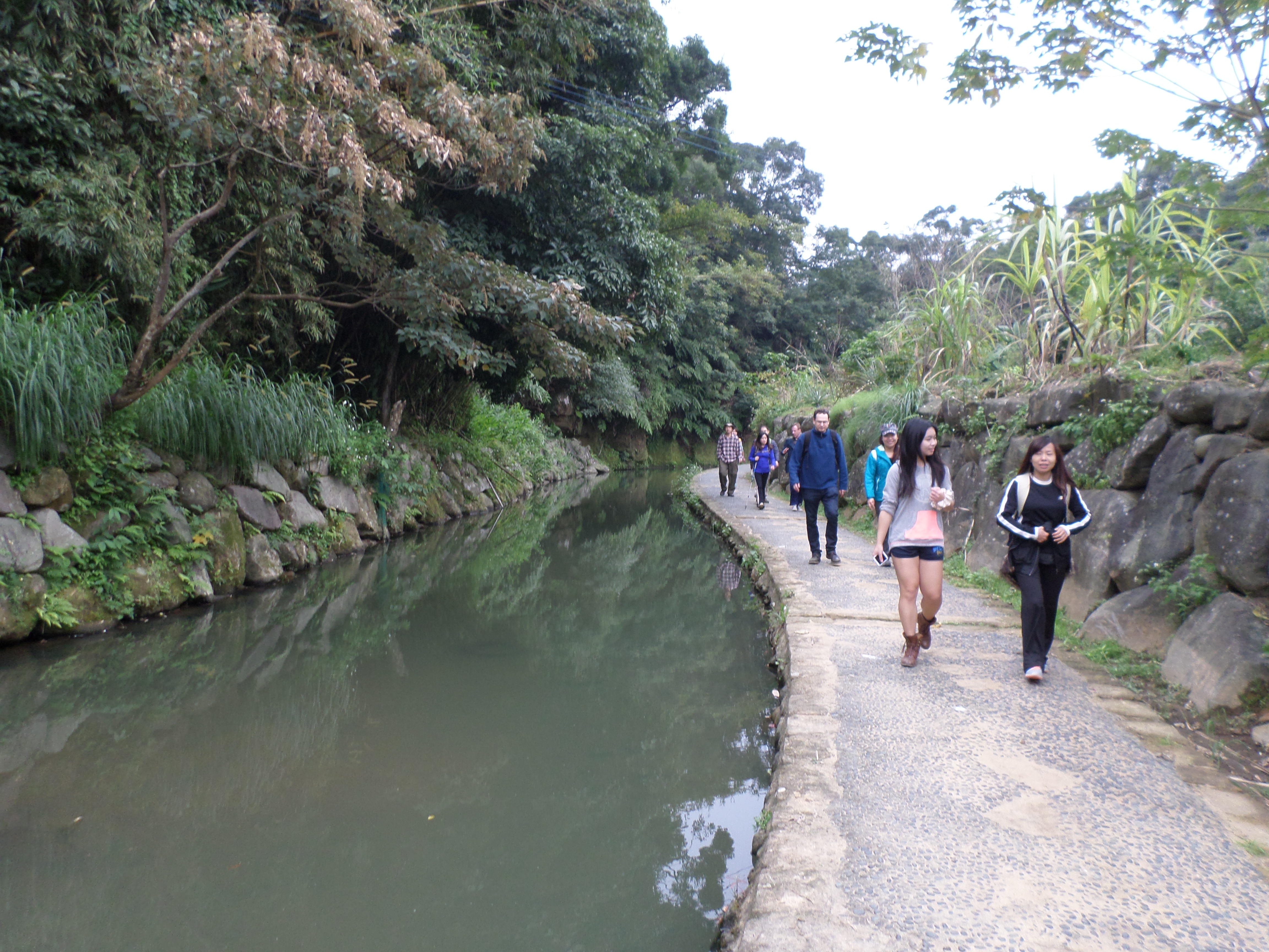 walk along the stream |
 walk through the tiny village at the end |
Leave a comment
