Mt. Datong – Mt. Dadong Ridge Hike
Xinzhuang, Shulin, Yingge Districts; New Taipei City
The hike starts in Xinzhuang, goes along the top of a ridge that marks the boundary between New Taipei City and Taoyuan, and ends at Yingge Train Station. There are excellent views from the peaks.
Access: take the MRT to Huilong Station
Length: 19km, 6.5 hours
Trail Conditions: stone, gravel, paved, wide and narrow dirt trails
The Hike
See the map at the bottom of this page for how to walk from the MRT station to the start of the hike.
At an intersection near the New Taipei City Military Cemetery there is a blue sign pointing the way to Datong Mountain Hiking Trail. Turn right onto the small road behind the sign. The road winds up and ends at a memorial at the top of the cemetery. The trail up Datong starts from here.
turn right here

climbing up to the top of the military cemetery

military cemetery monument
The trail starts off as a gravel trail climbing up on wood-supported steps.
climbing up
At the top the trail comes to the end of the road. There is a shack and public restrooms here. The trail continues the climb up from the end of the road changing to cement steps. It’s a fairly steep 10 minute climb to the top of the ridge from here.

steep steps
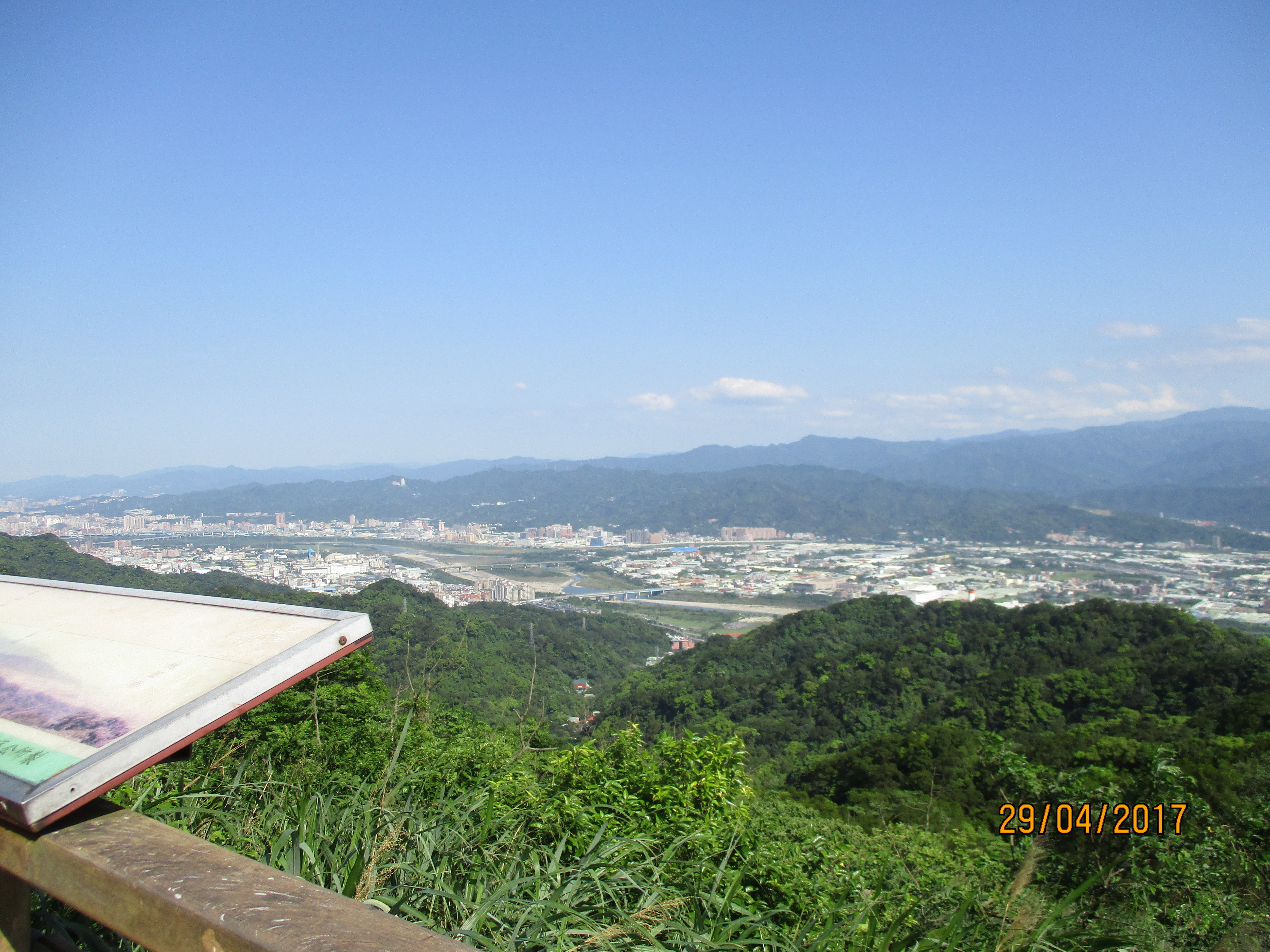
At the top of the steps the trail comes to a covered rest area with a good viewpoint.

pavilion/viewpoint
Continuing on the trail emerges from the trees and continues to climb up the grass covered peak.
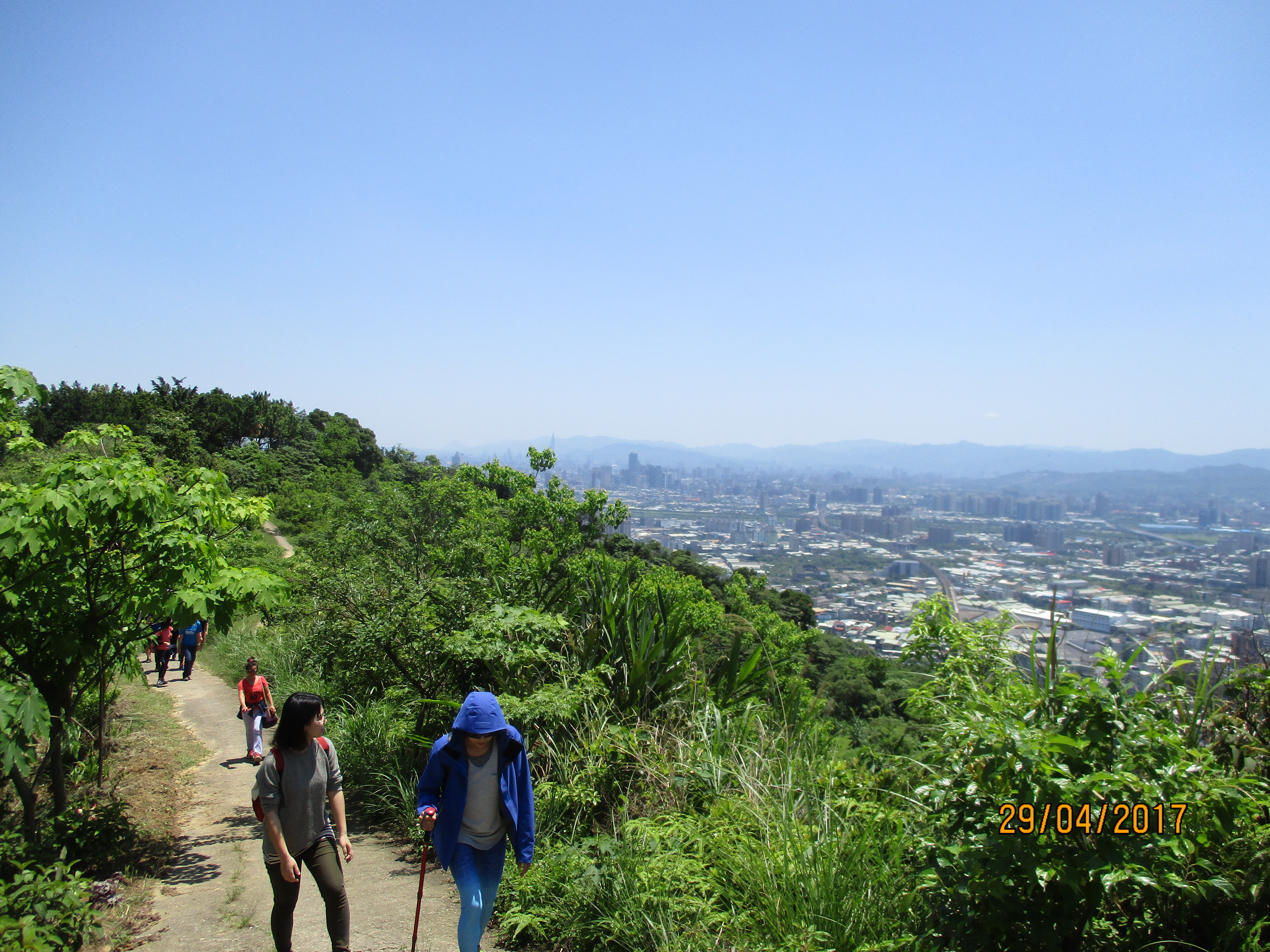
climbing up the grass covered peak
At a 3-way fork, take the middle trail.

take the middle fork here
Then fork left when you reach the peak.

heading for the peak

fork left on the peak
The trail then leads down through the grass and ends a road.
going down to the road
Walk down the road a short distance and you’ll come a short boardwalk trail. This trail leads at another viewing platform.

short boardwalk trail to a viewpoint

viewpoint at the end of the boardwalk trail
Then continue along the road and you’ll come a small temple and an area of food stalls.

snack stalls
Just behind the food stalls is Qinalong peak.

Qinalong peak
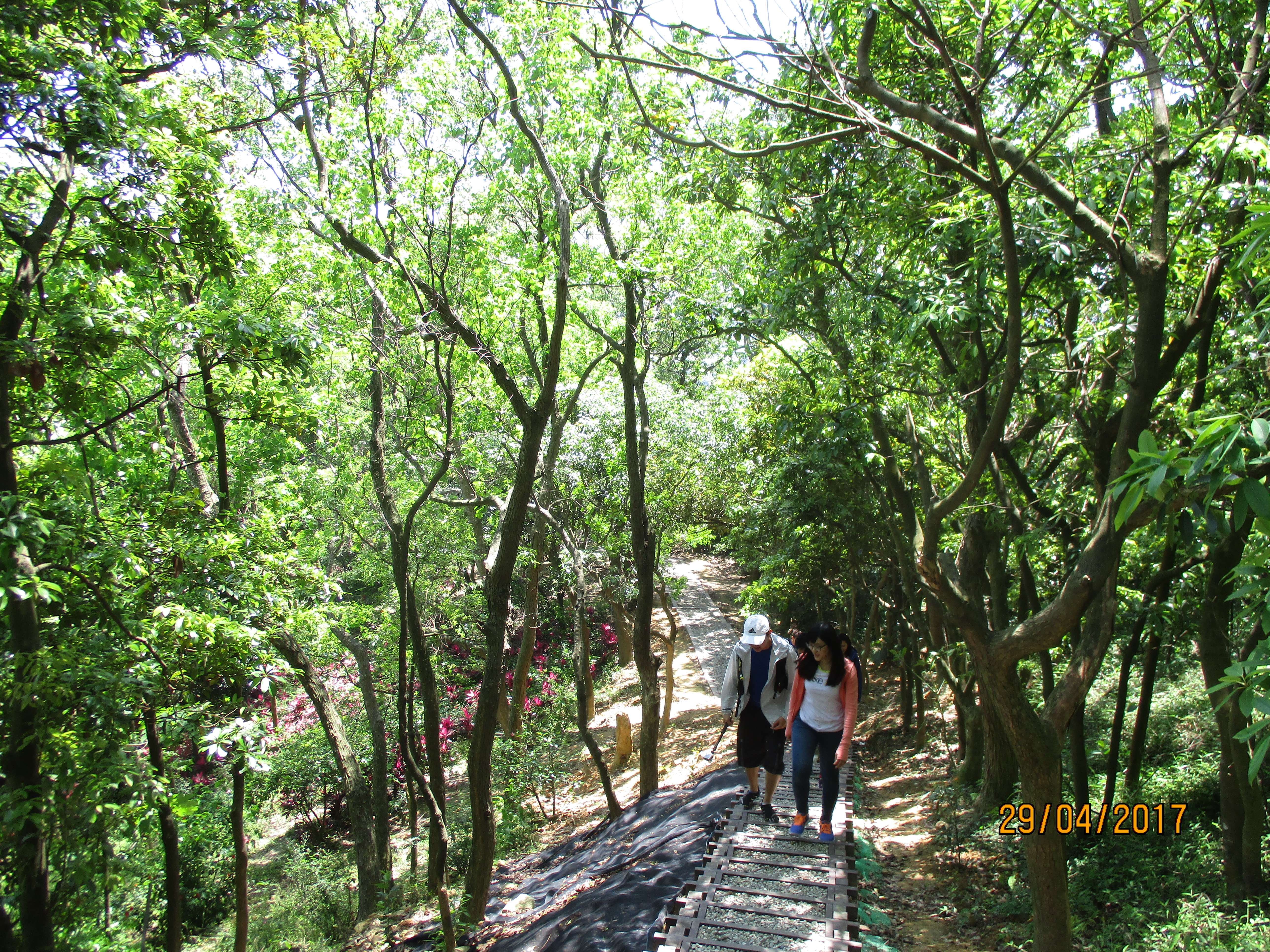
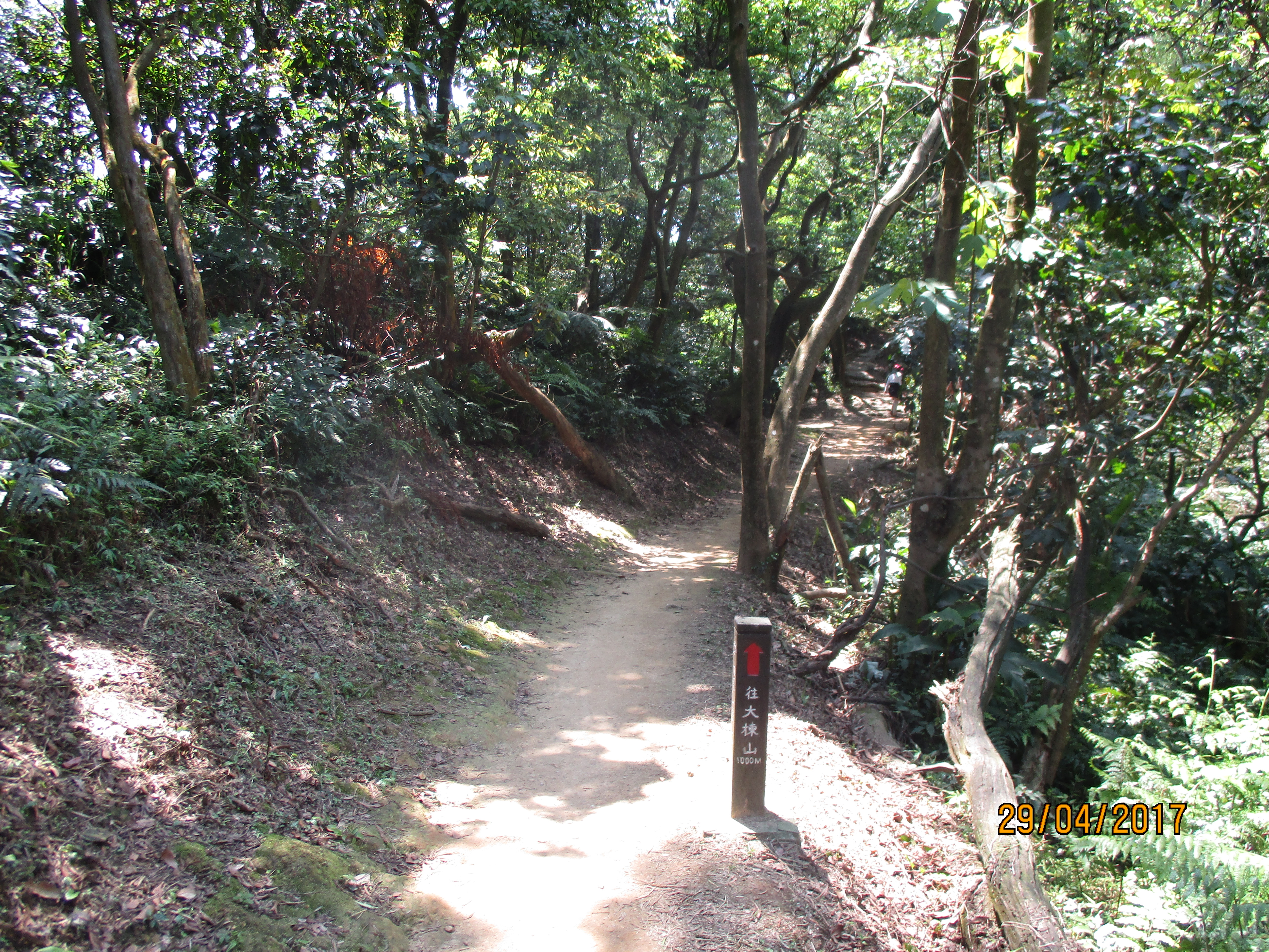
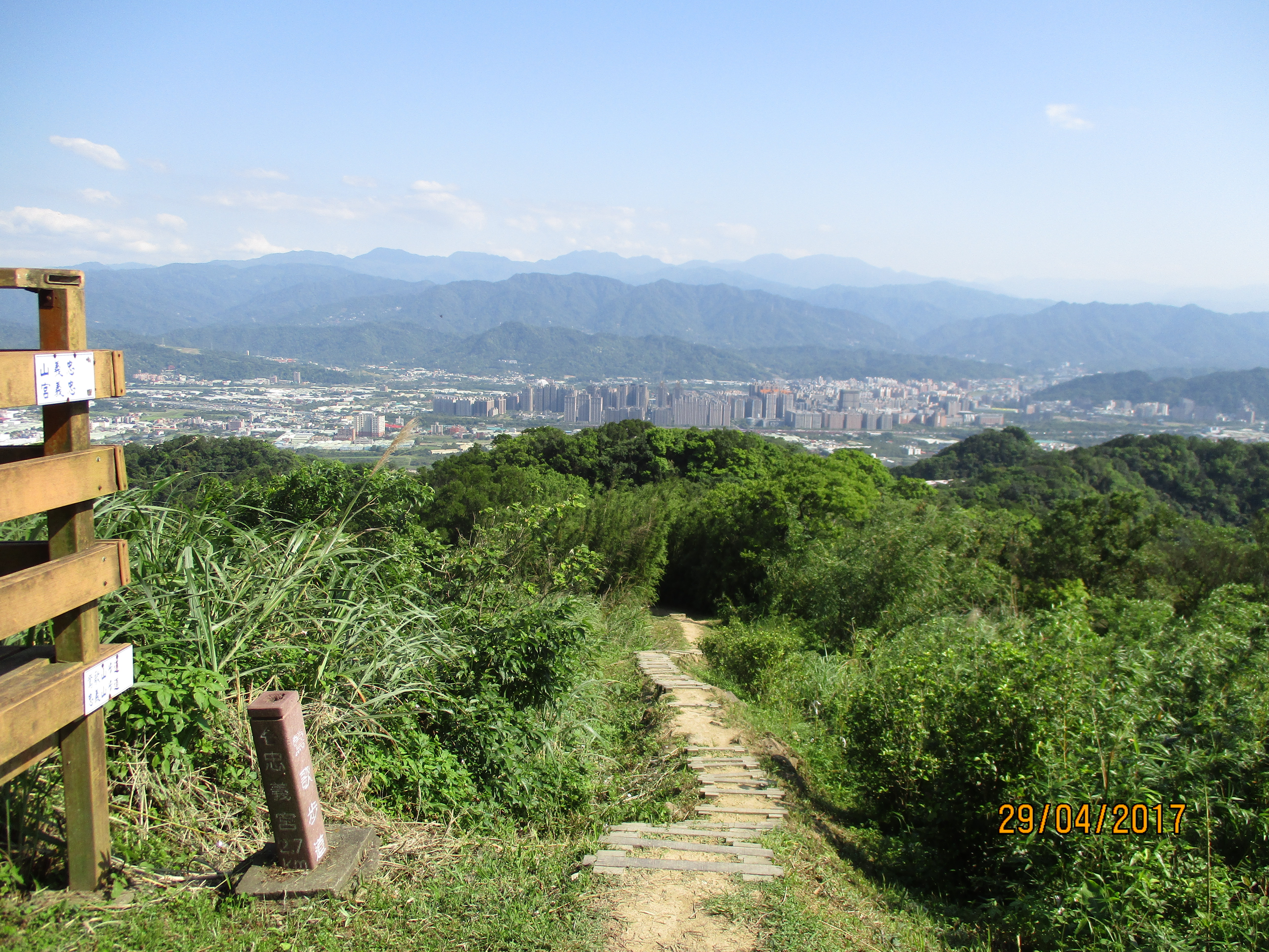
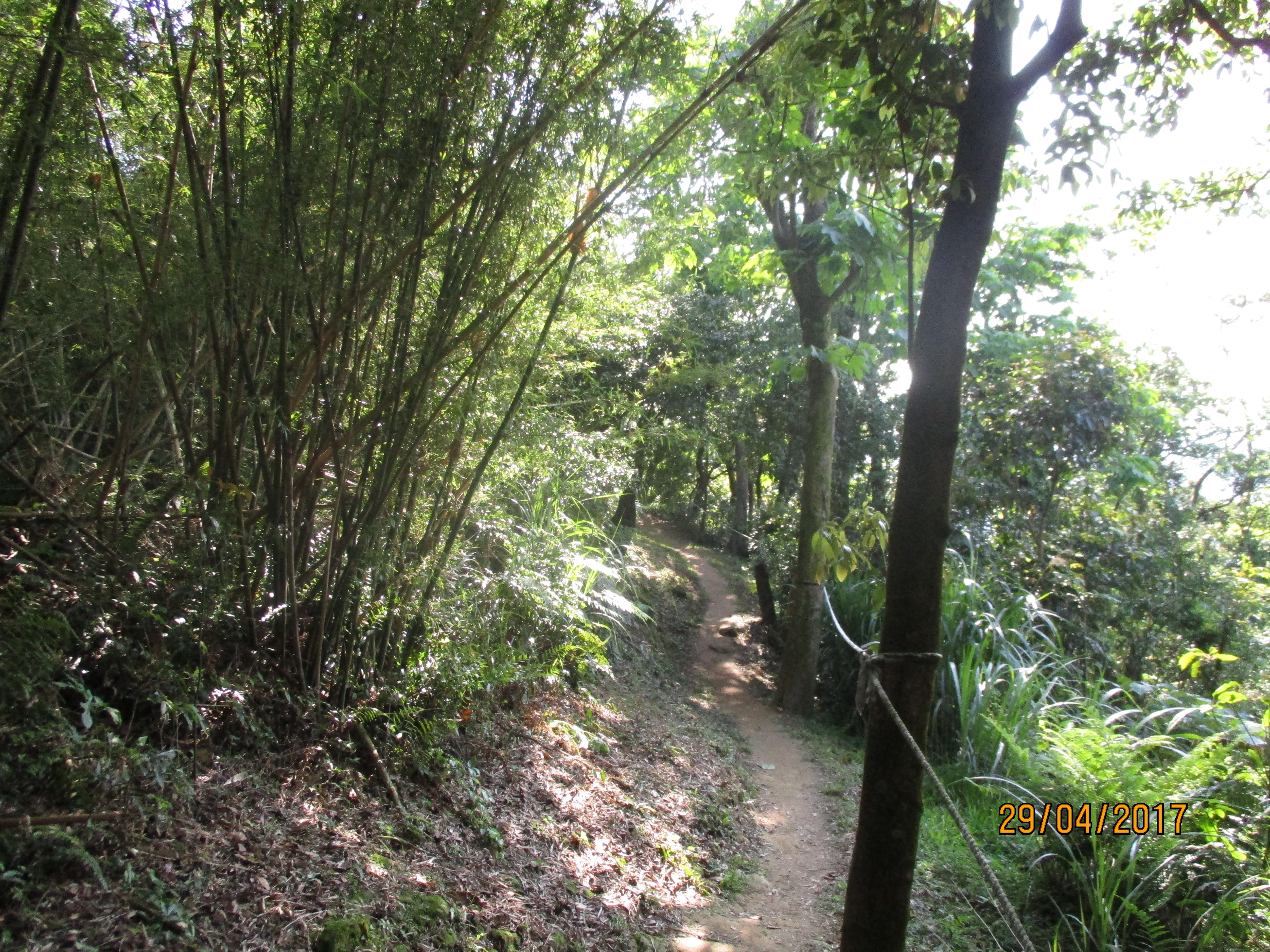
Return to the road and go further a few more minutes and you’ll come to a trail signposted for Mt. Dadong. This 2.7km dirt trail leads to the highest point on the hike.

start of the trail to Mt. Dadong
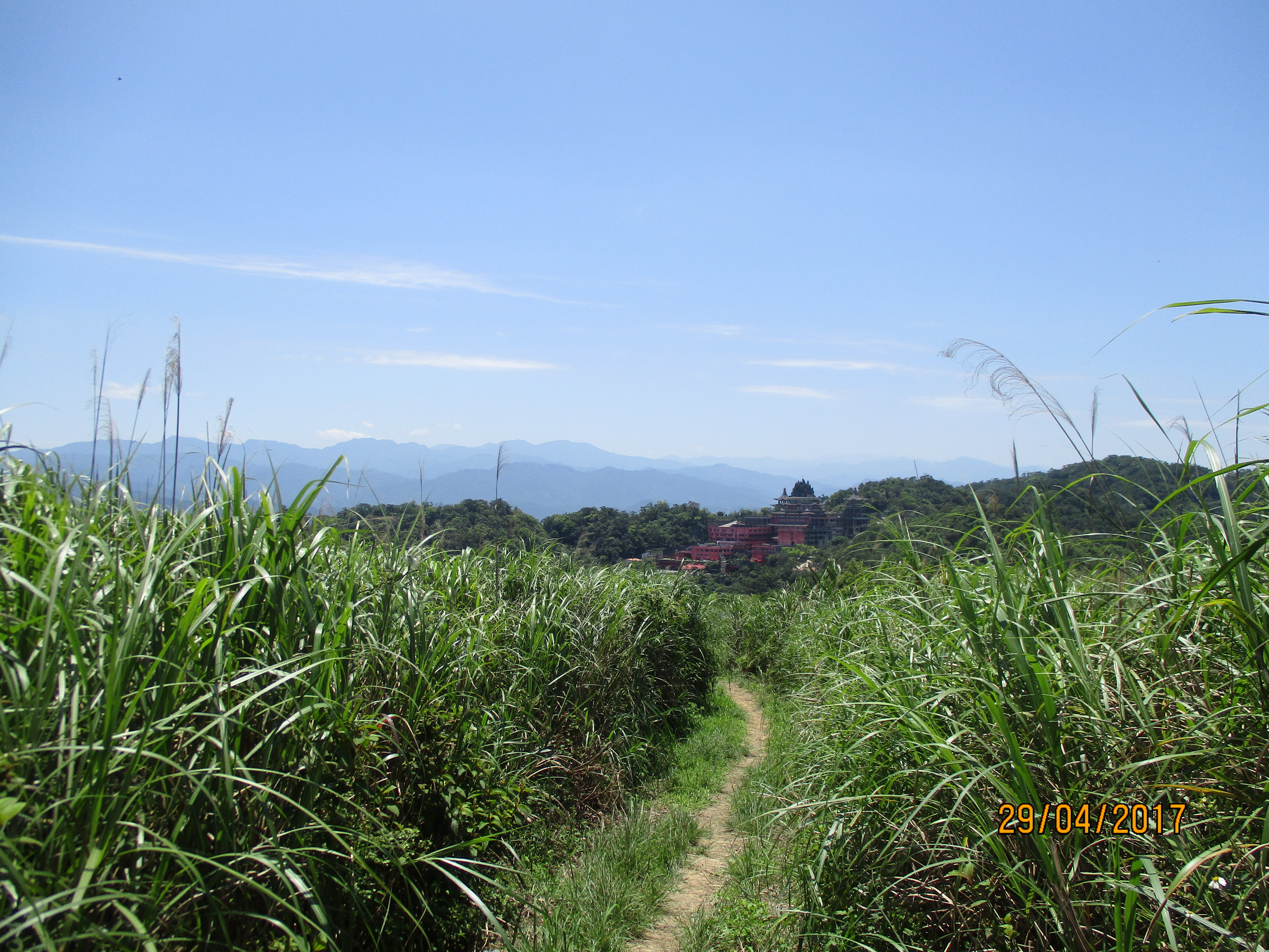
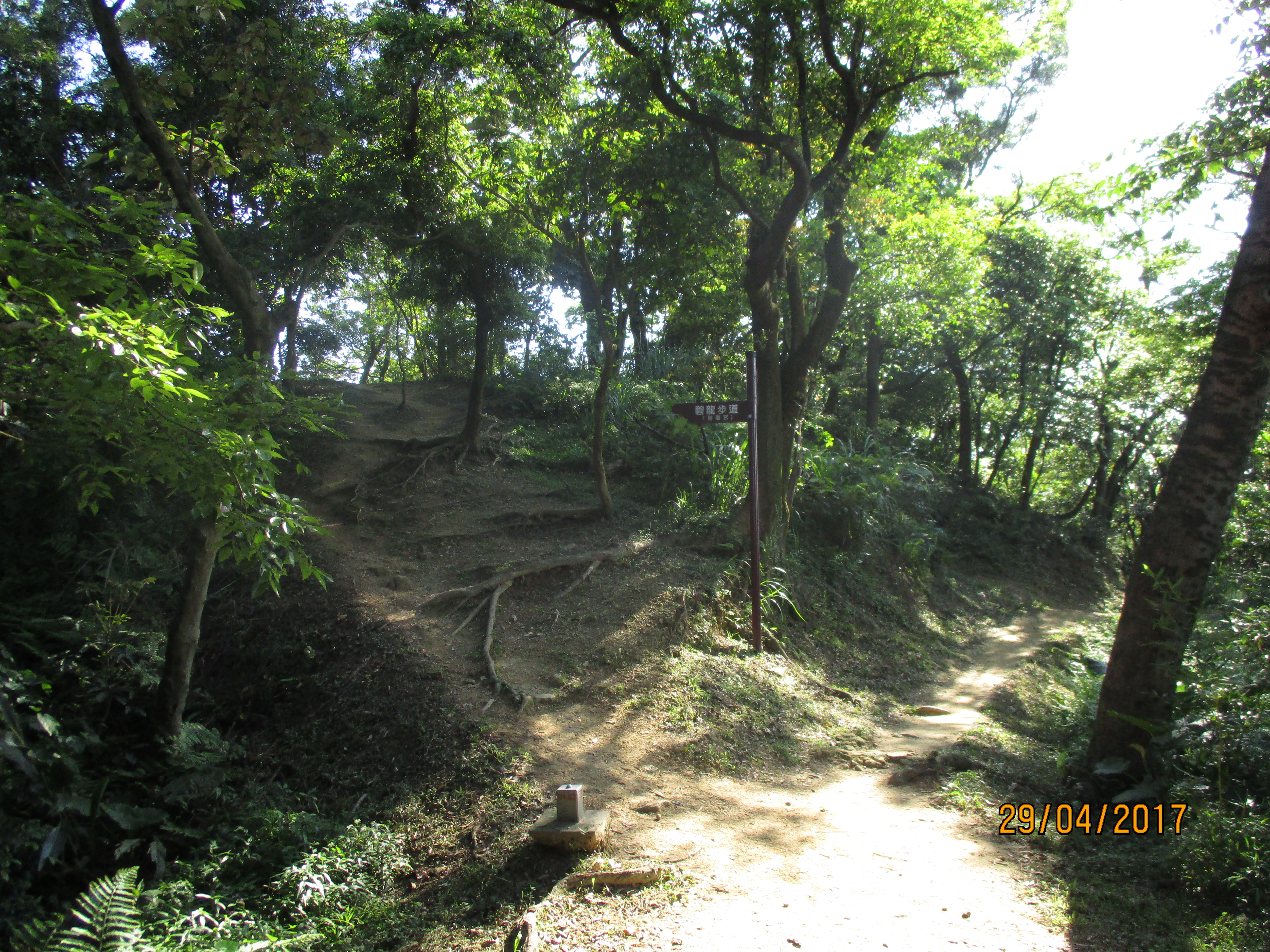
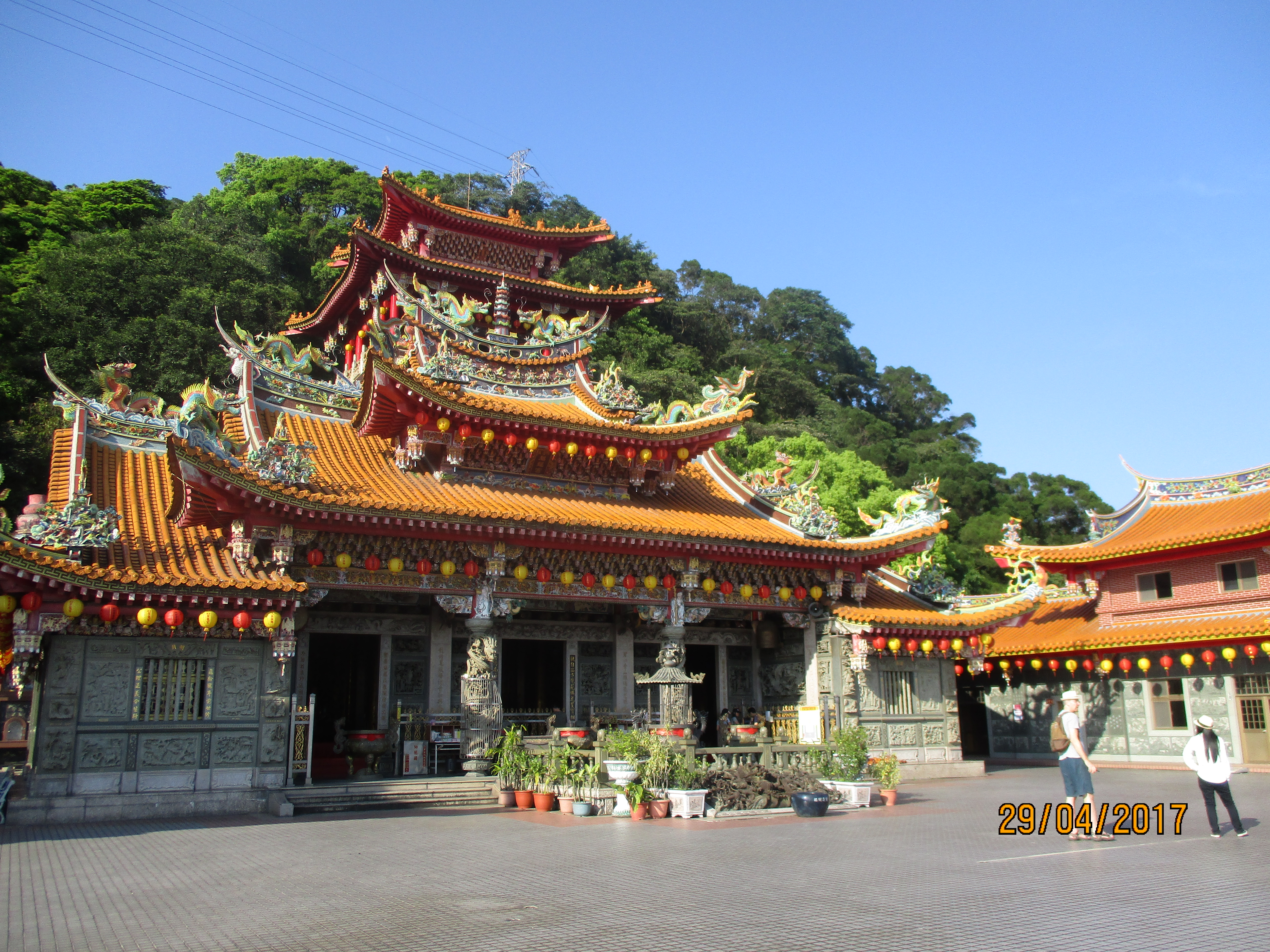
The trail passes behind a large temple complex and follows along the top of the ridge.

Mt. Dadong trail

going behind a large temple complex
Further on the trail passes a picnic area and a monument for the mountain.

trail to Mt. Dadong

picnic area
trail to Mt. Dadong
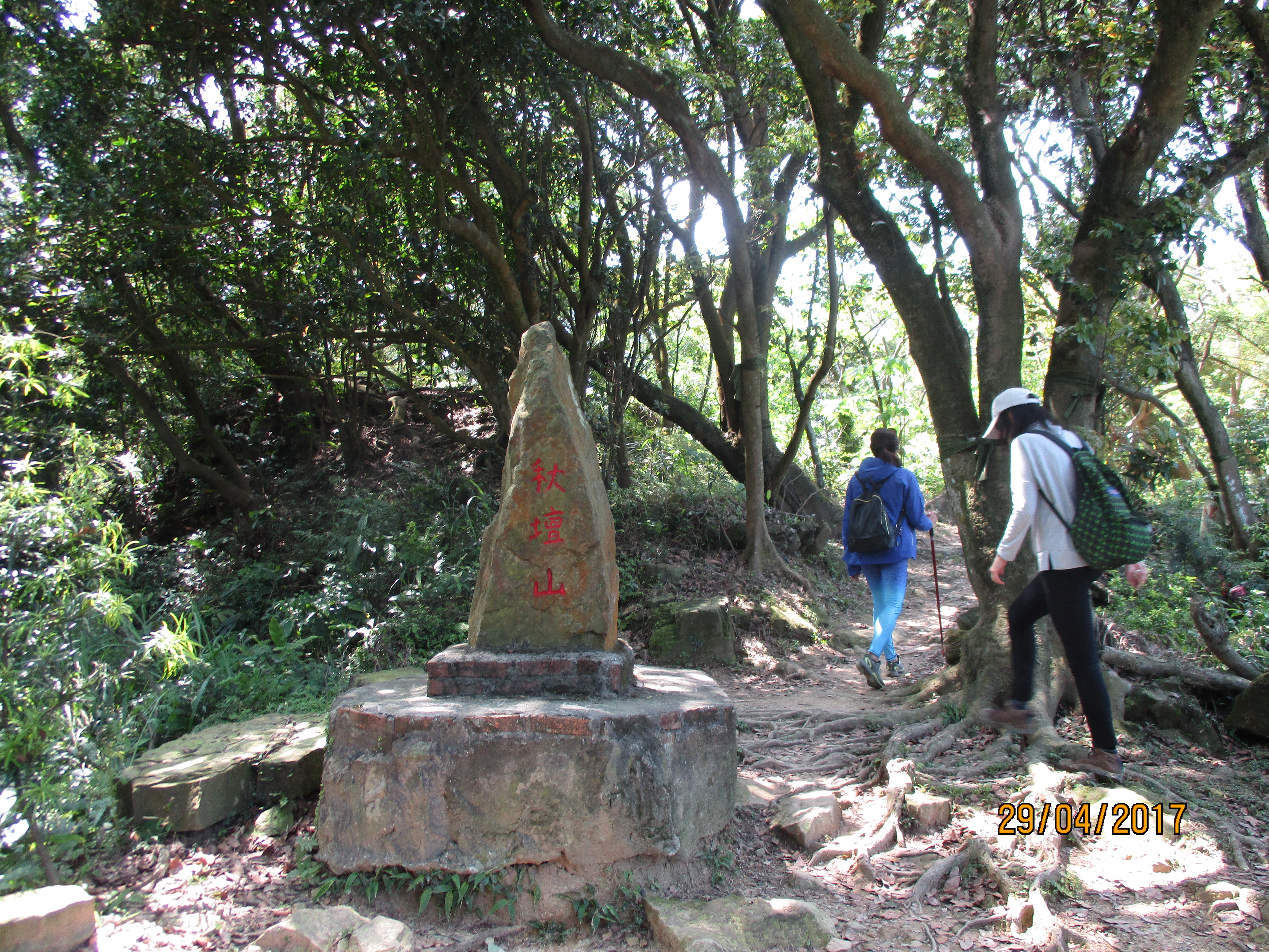
monument
The peak of Dadong has a large viewing platform and offers more great views. There is also a communication tower on the peak.

Mt. Dadong peak
From the peak you need to do a long stretch of road walking to pick up the trail again.
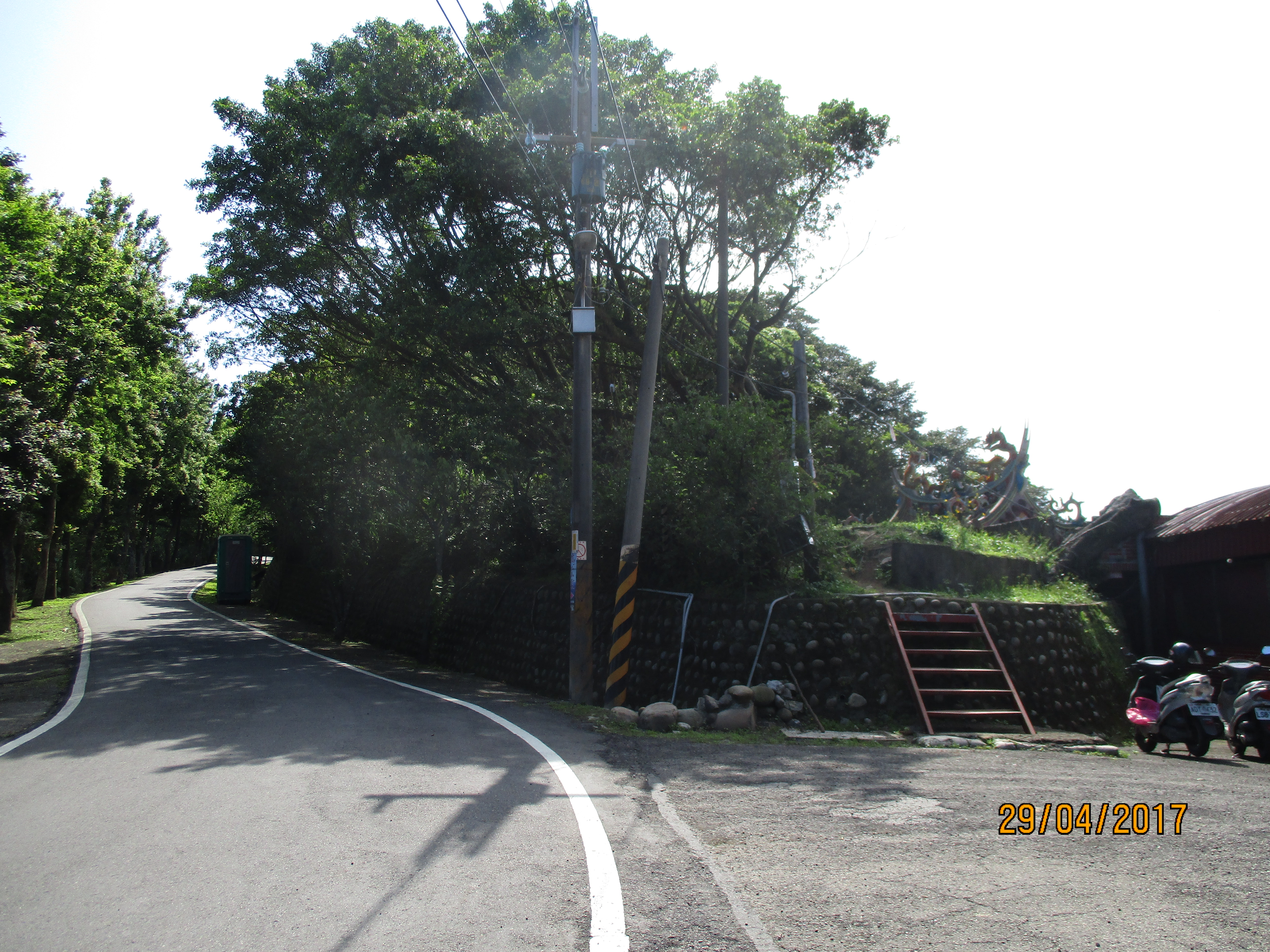
turn off the road here going up the red steps
This narrow trail follows parallel to the road and passes a garden plot with a small shrine along the way. Turn left at a T-junction at the end of the trail and the trail leads back down the road. There’s another viewing platform here too.

trail parallel to the road

shrine at a garden plot
turn left at the end of the trail
viewpoint at the end of the road
Take the trail going down from the platforms.
trail going down to Yingge from the viewpoint
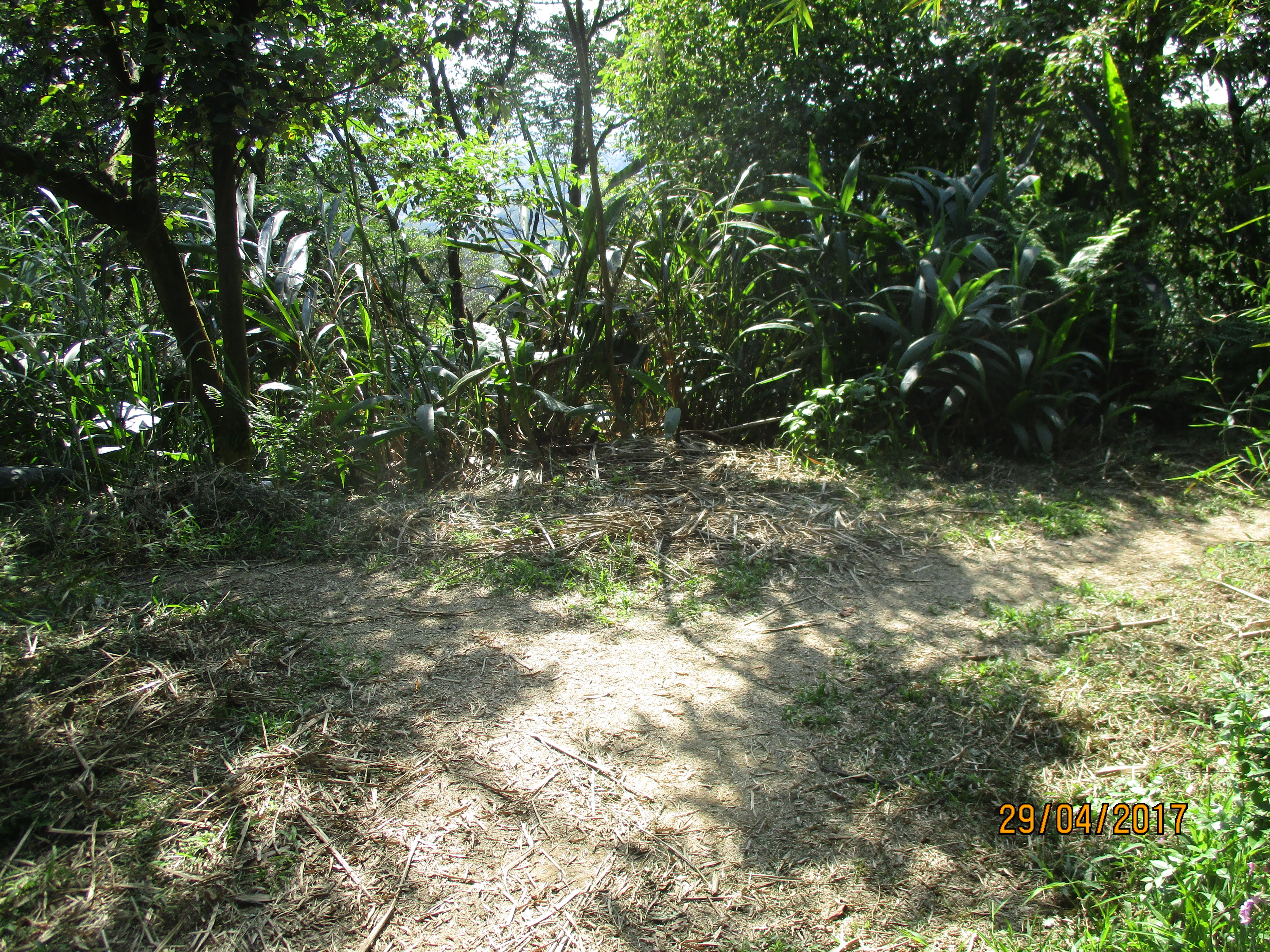
Back in the trees the trail splits. Take either fork as they soon rejoin.
take either fork here
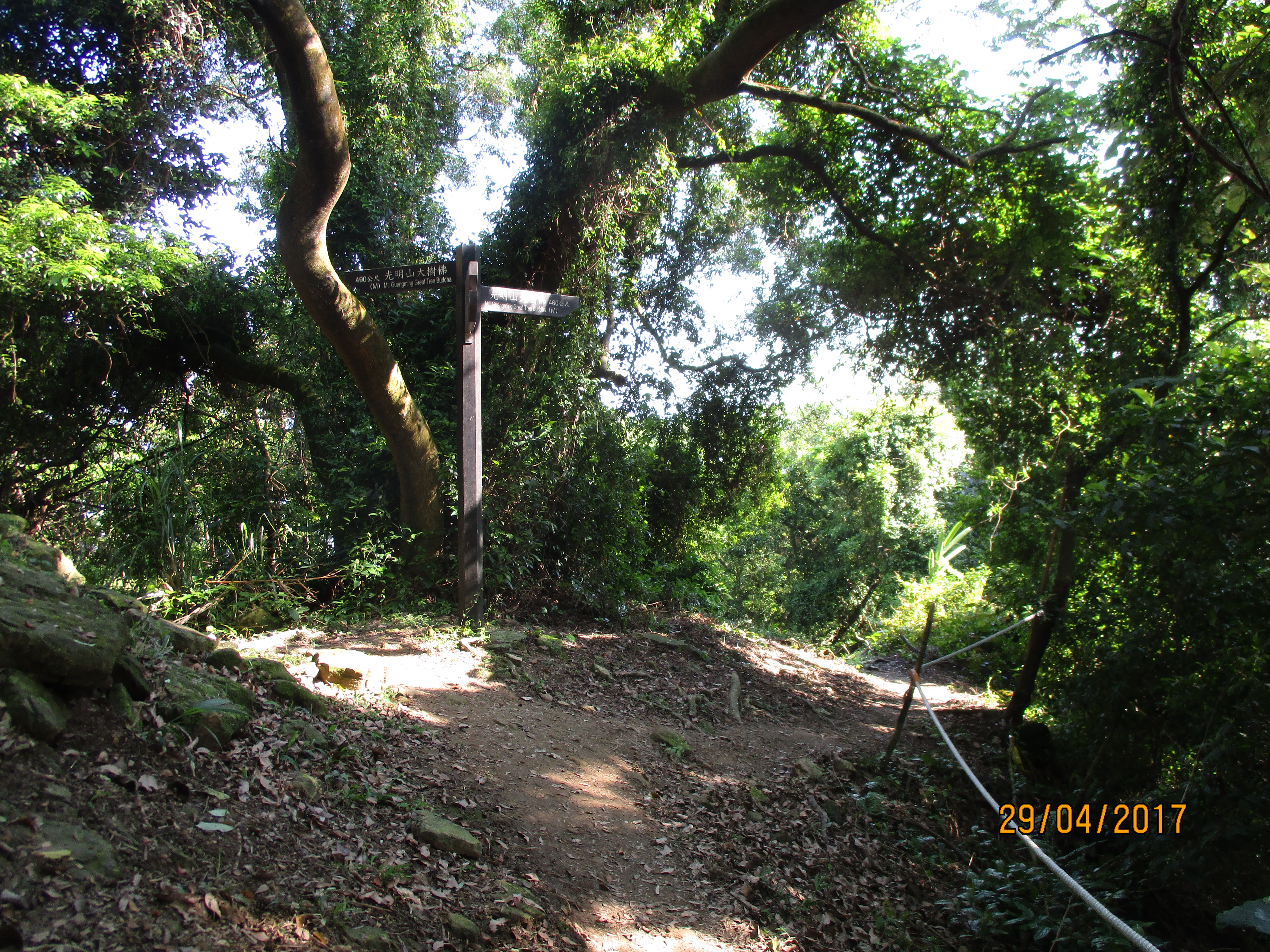
The trail continues to descend sometimes with ropes. Fork left at a trail junction signposted for Yingge Stone Trail, Fude Temple, and Mt. Guangming Great Tree Buddha.
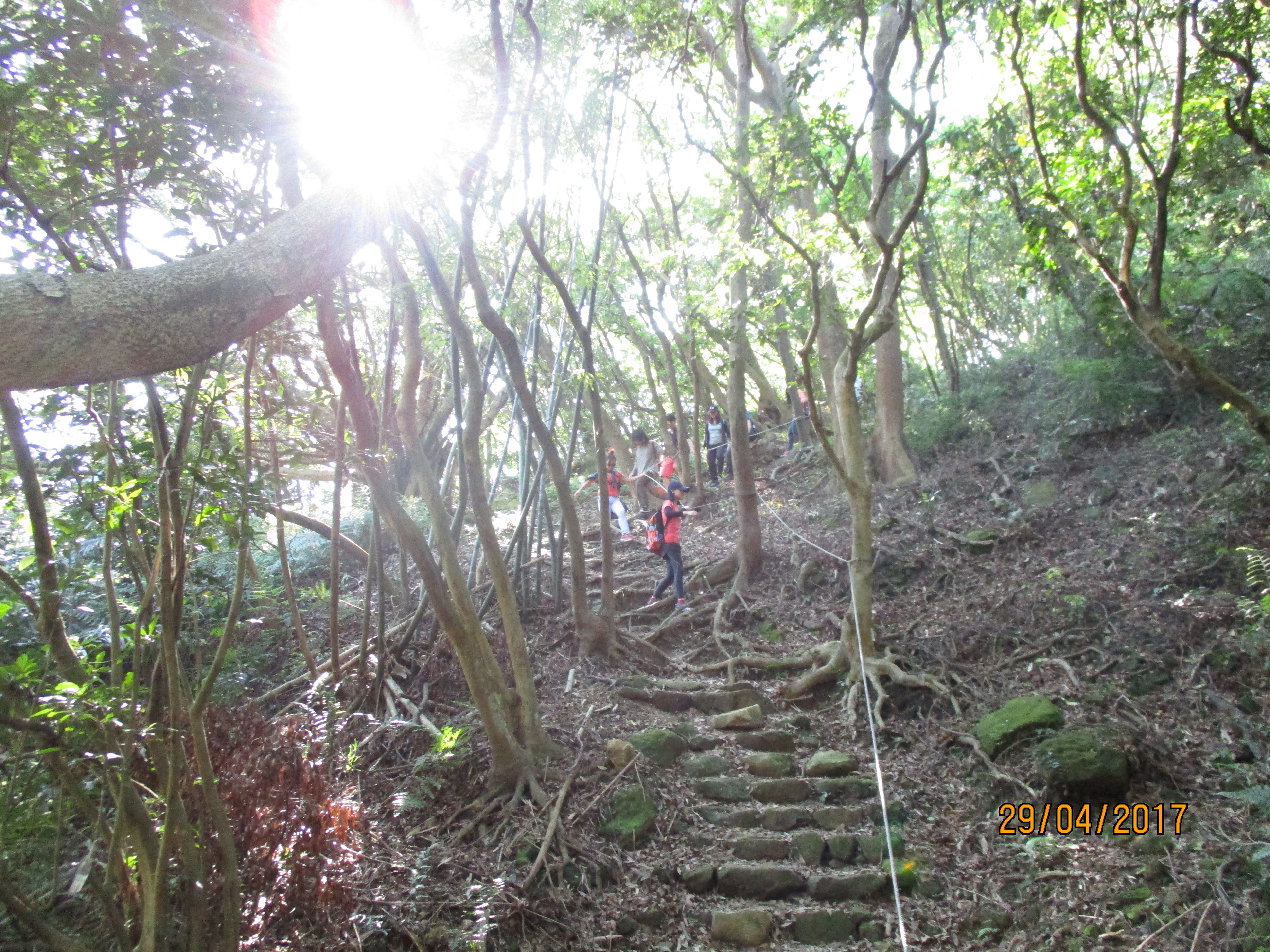
descending

fork left here
The trail climbs up from the fork to a wooden platform on top of Mt. Guangming which has a small shrine in a tree.

trail to Mt. Guangming

platform and tree shrine on Mt. Guangming
Continuing from the peak the dirt trail descends for a while then climbs up on steps over another mini-peak. Wooden steps then lead down the otherside. This section of trail ends at a road at the bottom.
trail leaving the peak

going down to the road

walk down the road a short distance
Walk along the road for a few minutes and the trail branches off again.

turn off the road here
Then fork left at a junction in just a few meters from the road.
then fork left here
Follow this trail and you’ll come to another wooden platform with another fork in the trail. Take the left fork here signposted for Bilong Temple.

trail going up to another platform

platform, fork left here
Follow this trail to the temple.

trail to Bilong Temple
Bilong Temple
From the temple take the paved trail from the end of the road going past a small pond.

trail from Bilong Temple
Follow this cement trail up a small ridge then back down until it ends a road. Cross the bridge and turn left at the T-intersection. Go down the road a few mintues past a house until you come to another cement trail branching off.

fork right off the road here
This trail contours the hillsides and is very popular with people strolling. Just after the fork off the road the trail goes through a short tunnel. There are several pavilions and bridges along the way, and at one point the trail cuts across the terrace of a temple.

trail contouring the hillside above Yingge
From the end of the trail it is a short walk to Yingge Train Station.
Map of the Hike
