Zhuzihu Farms – Mt. Zhongzheng – Beitou Hiking Trail
Yangmingshan National Park
Introduction
This hike starts from the Zhuzihu farms area of Yangmingshan, which is an area of flower and vegetable farms located between Qixing and Datun Mountains. From the farms the hike goes over Mt. Zhongzheng on the southern slope of Datun to an observation deck then descends to Beitou.

Xiao 9 bus info
Access: take bus Xiao 9 from Beitou MRT Station. Make sure this bus has 竹子 for its destination before boarding.
Length: 11km, 4.5 hrs
Difficulty Level: 1/5
Trail Conditions: stone trails
The Hike
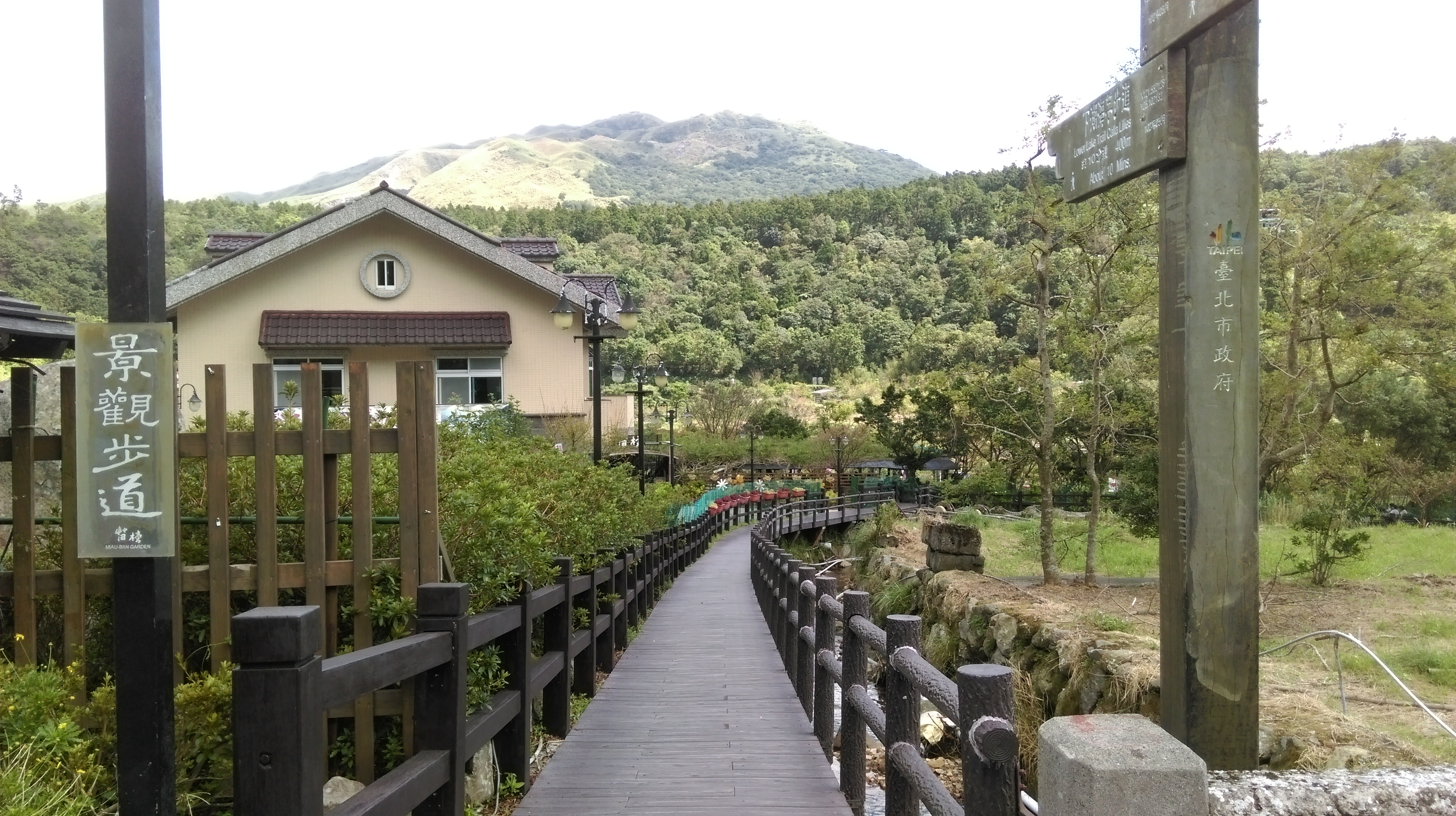
The bus stop is located at the start of the farms area where the road crosses a stream. From the bus stop walk up the road. There are some good places to have lunch or coffee along here, as well as some plant and flower shops.

flower shop along road
Then when the road crosses the stream again walk along the streamside trail back to bus stop.
start of the trail along the stream

trail along the stream
Across the road from the bus stop there are some stairs going down to the stream and another short trail. This trail dead ends at the end of the farms area.
short trail that dead ends
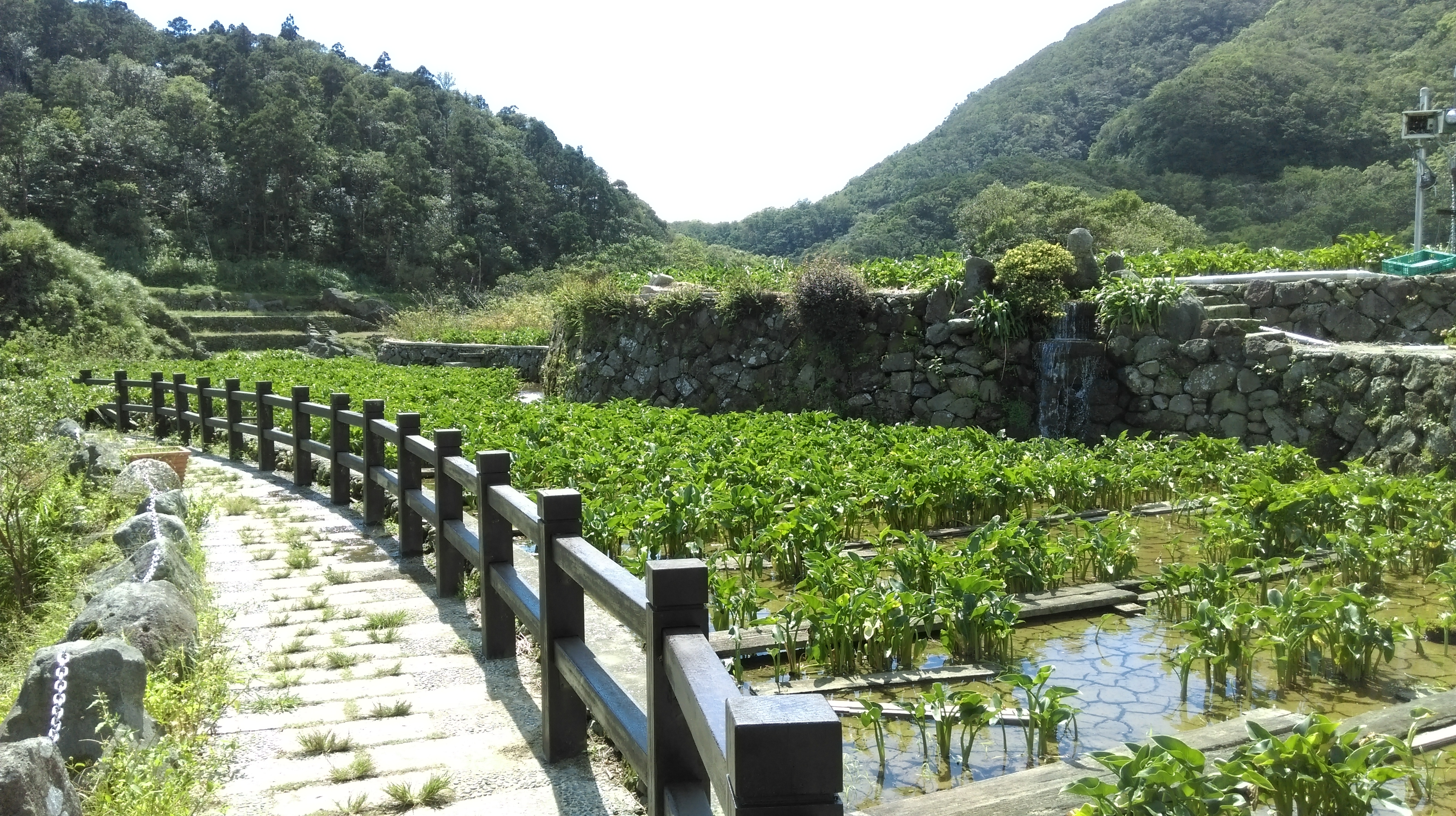
The hike over Zhongzheng starts from the other side of the bridge at the bus stop. There is small road that goes down the hill and crosses a stream at the bottom. From the end of the road a boardwalk trail continues going down along the stream for a bit then climb up past some terraced fields.

take the small road going down from the bus stop
boardwalk trail from the end of the road
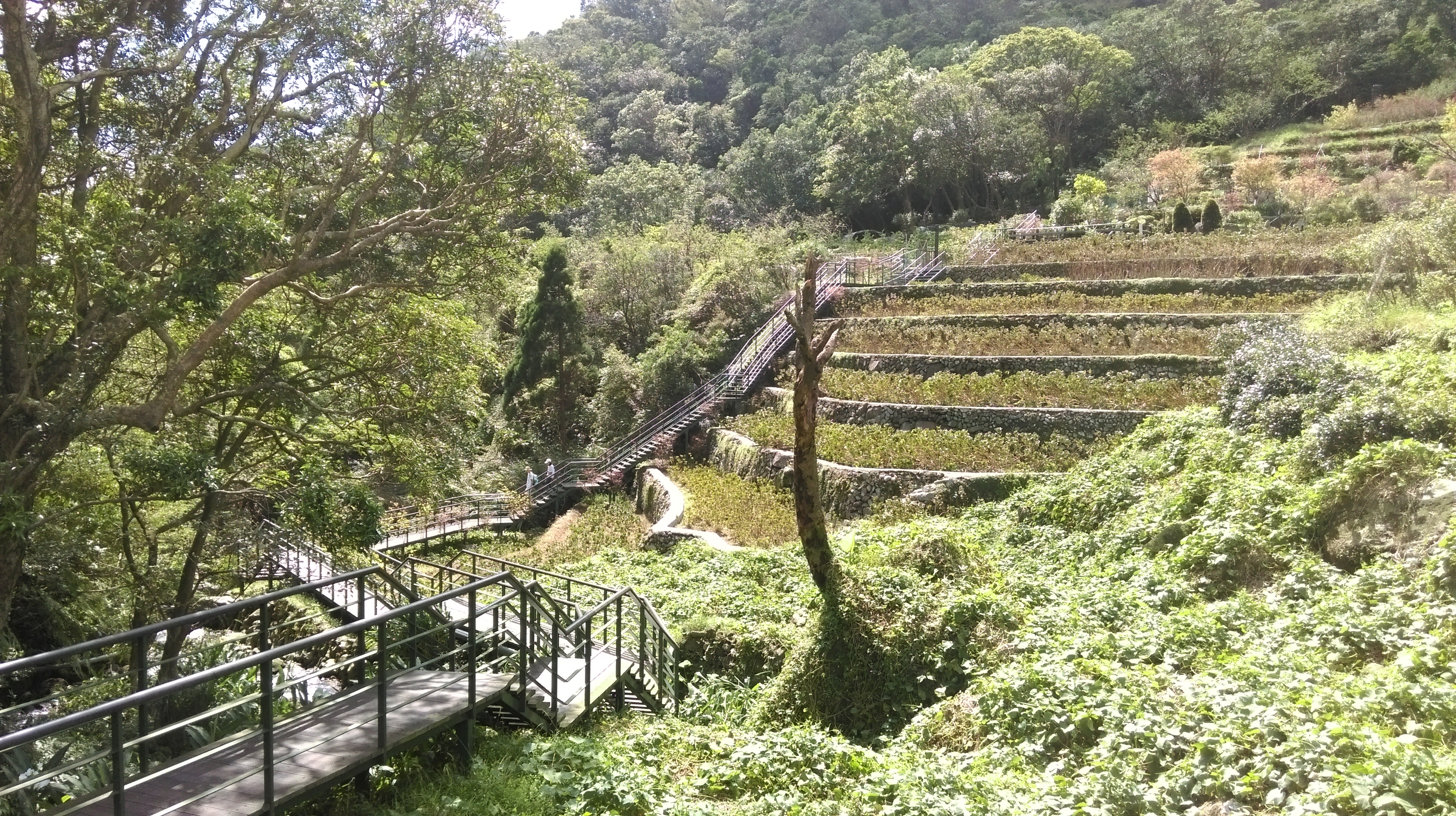
After the fields the boardwalk continues to climb up through the trees.

boardwalk trail climbing up through the trees
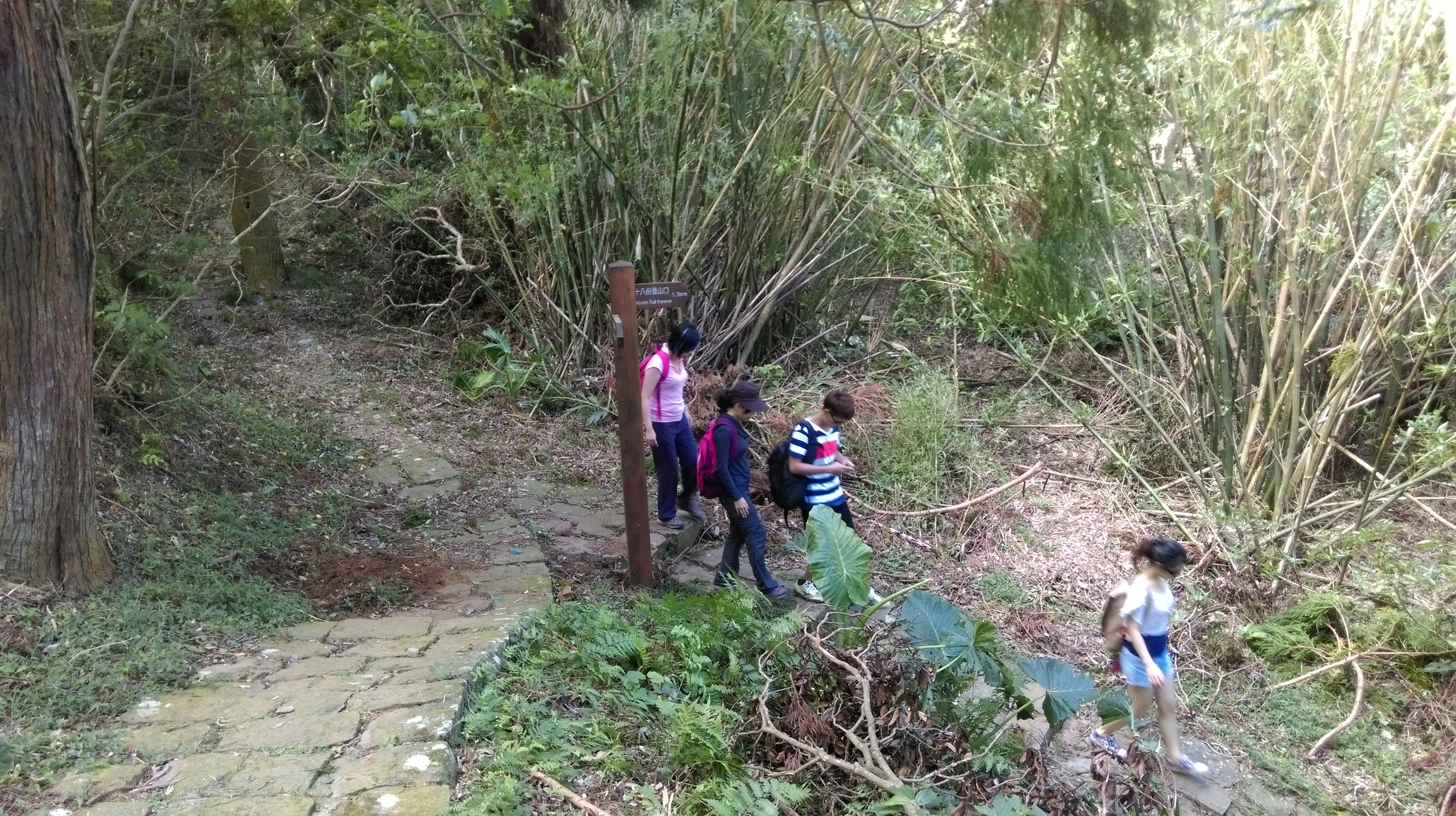
The boardwalk trail ends at a road. Turn left at the end and walk along the road for about 1.5km to the start of the Mt. Zhongzheng Trail which is clearly marked with sign and a trail map, signposted for Mt. Zhongzheng Observation Deck.
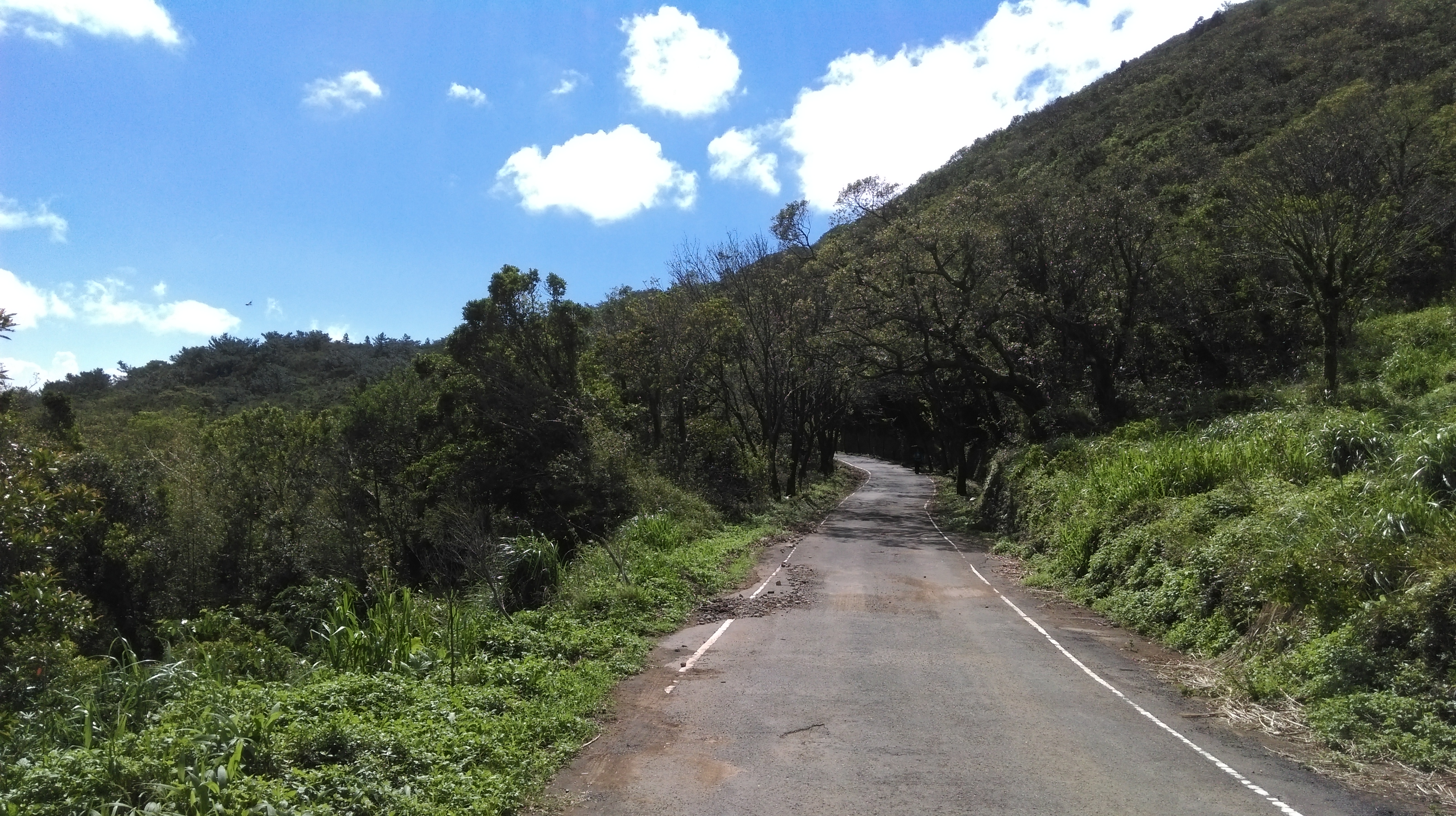
walking along the road

start of the Mt Zhongzheng trail
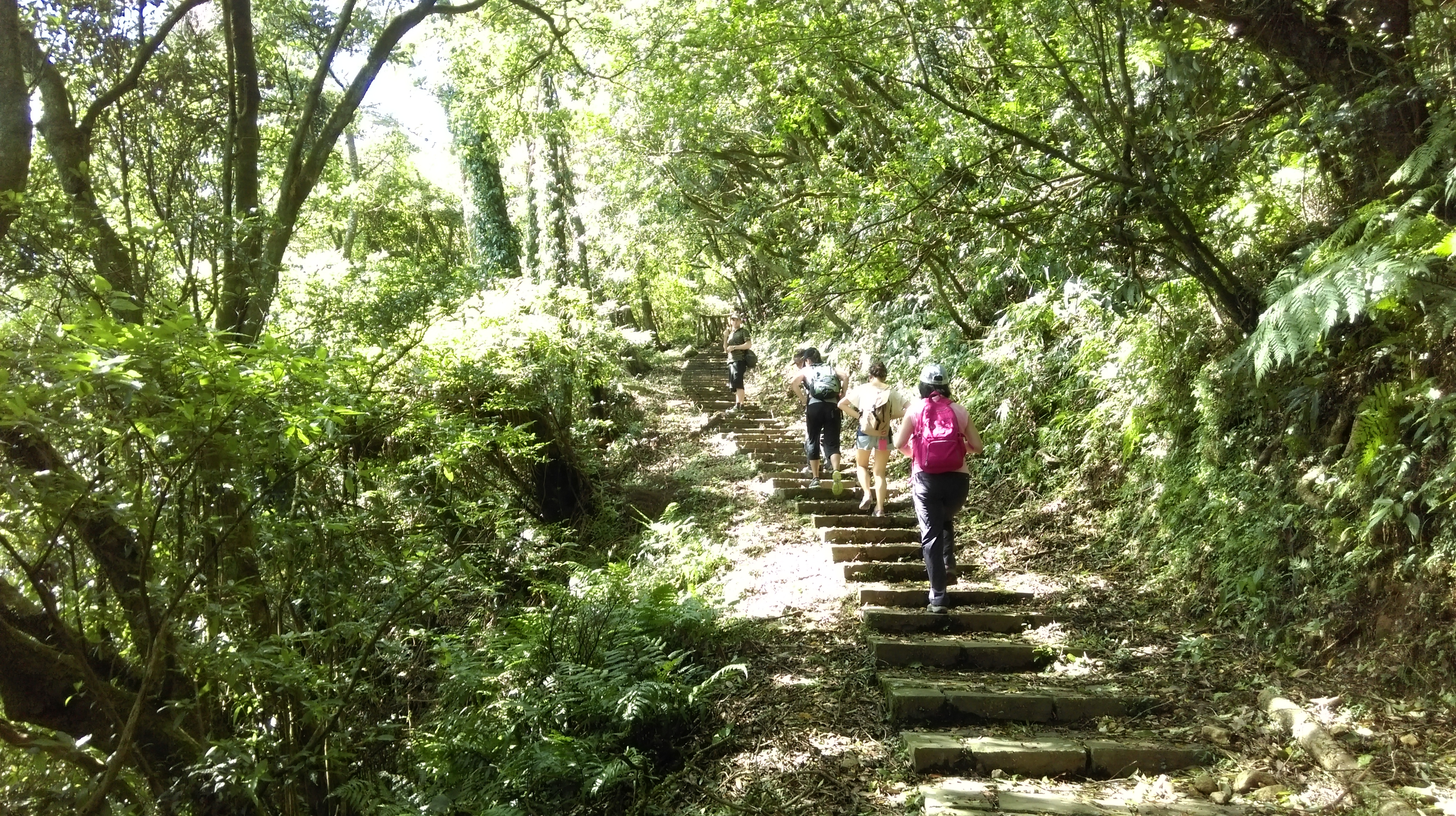
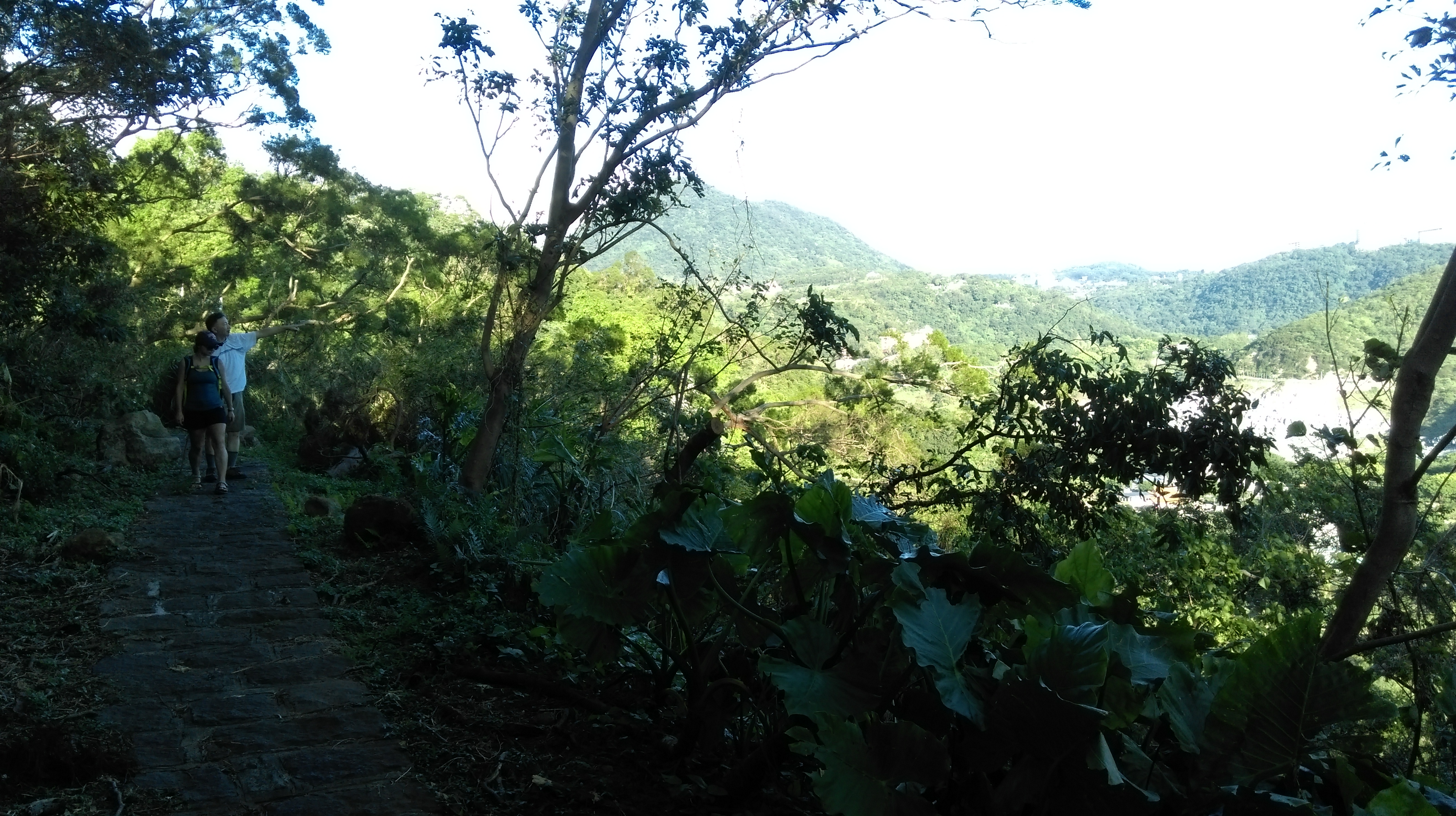
From the start of the trail steps climb up moderately steeply along the hillside offering up some good views.

climbing up from the road
The trail swings away and into more tree cover and getting steeper reaching the highest point to the hike.
climbing to the highest point of the trail
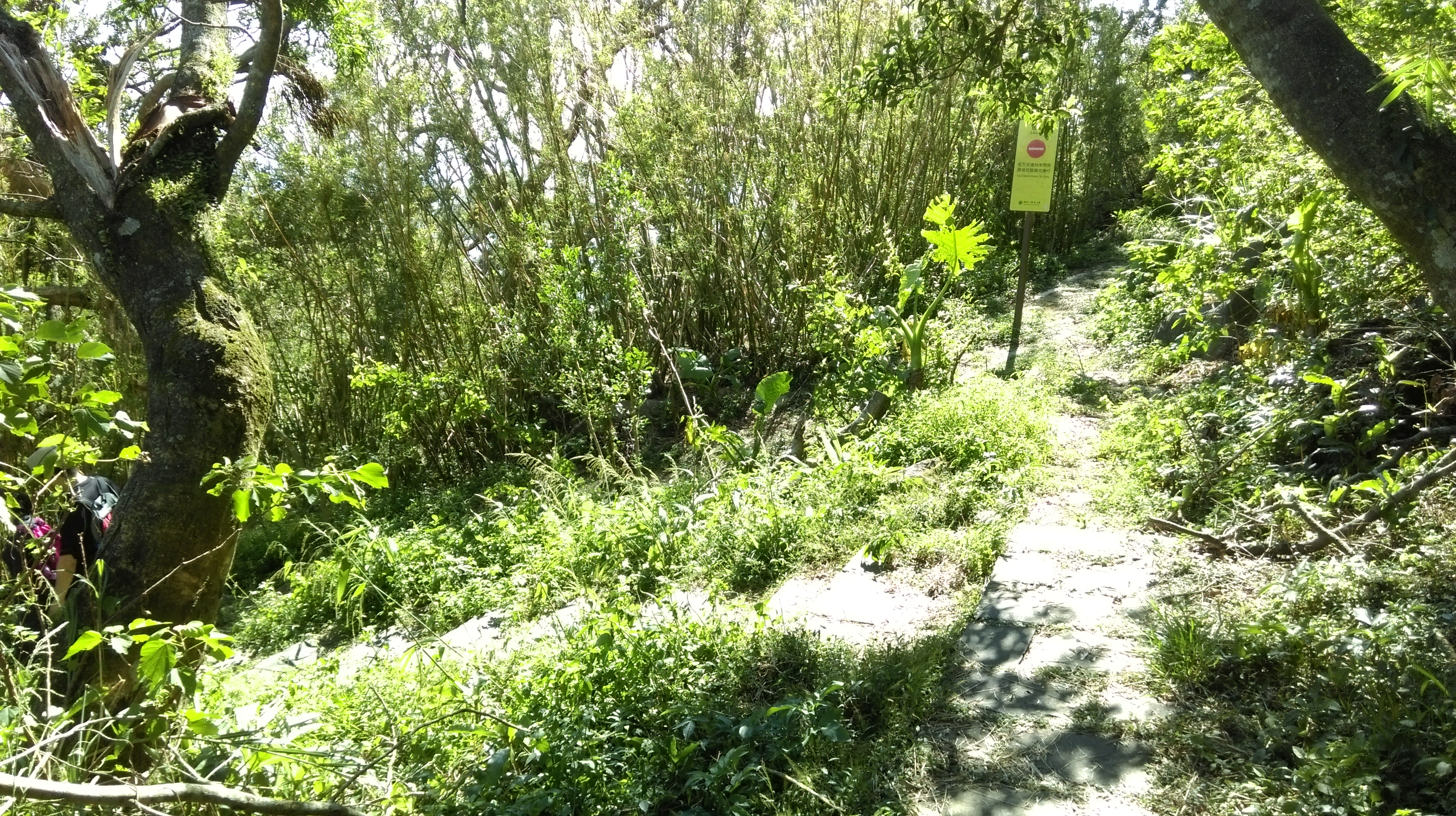
Then it starts to descend towards Zhongzheng passing a trail junction with a trail closed sign. This dirt trail which used to connect Zhongzheng with Erziping/Datun is no longer maintained and is now impassable. Keep going straight following the stone trail downwards and along a ridge.

descending from the highest point
After going along a narrow ridge the trail zigzags downwards some more and passes two trail junctions. Keep going straight at the junctions signposted for the observation deck.

zigzagging down

go straight here

and straight here too
Then turn left at another trail junction with a trail closed sign. The observation deck in only a couple of minutes after this junction.
turn left here
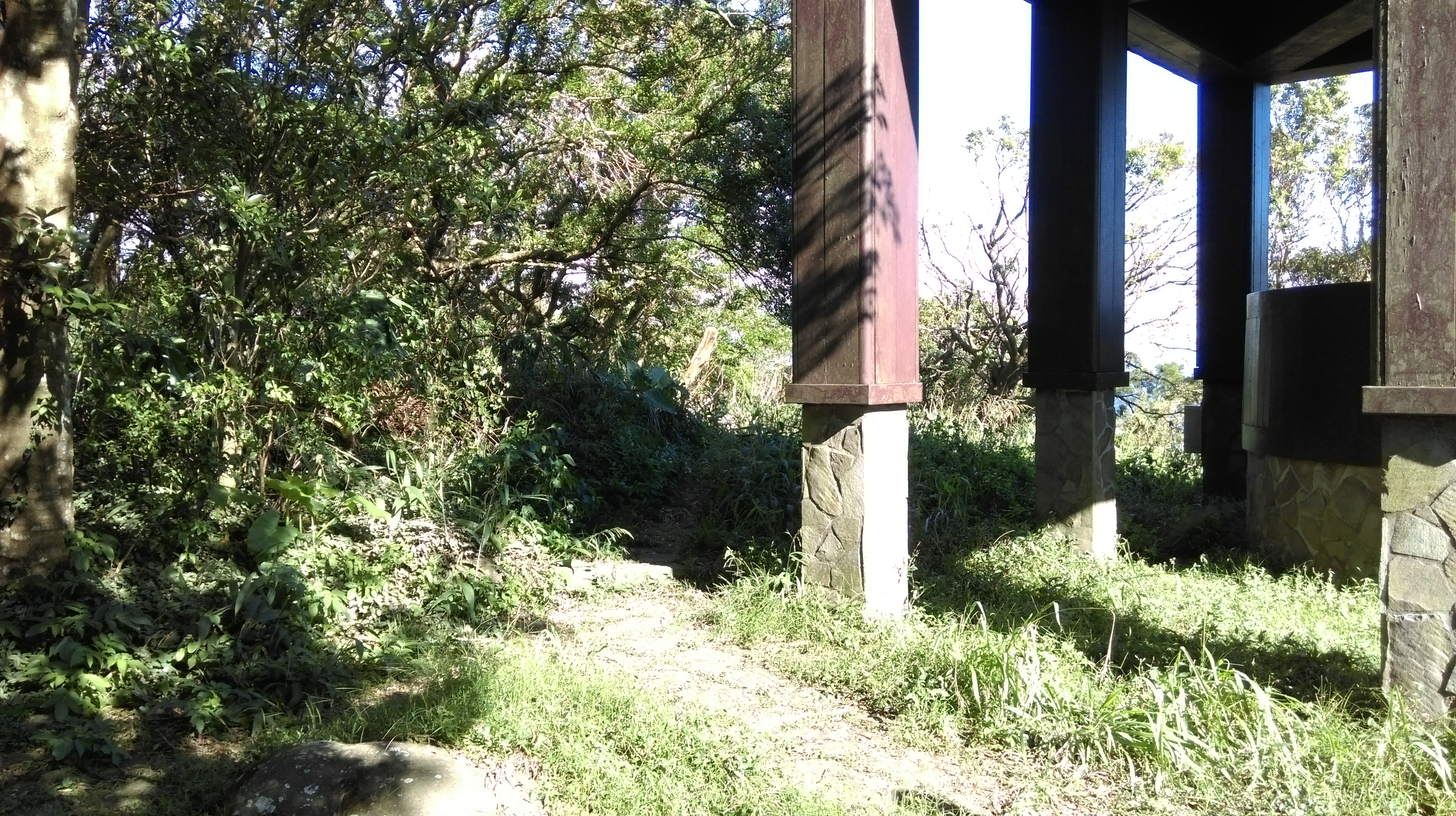
From the Mt. Zhongzheng observation deck there are great views of Taipei.

Mt Zhongzheng observation deck
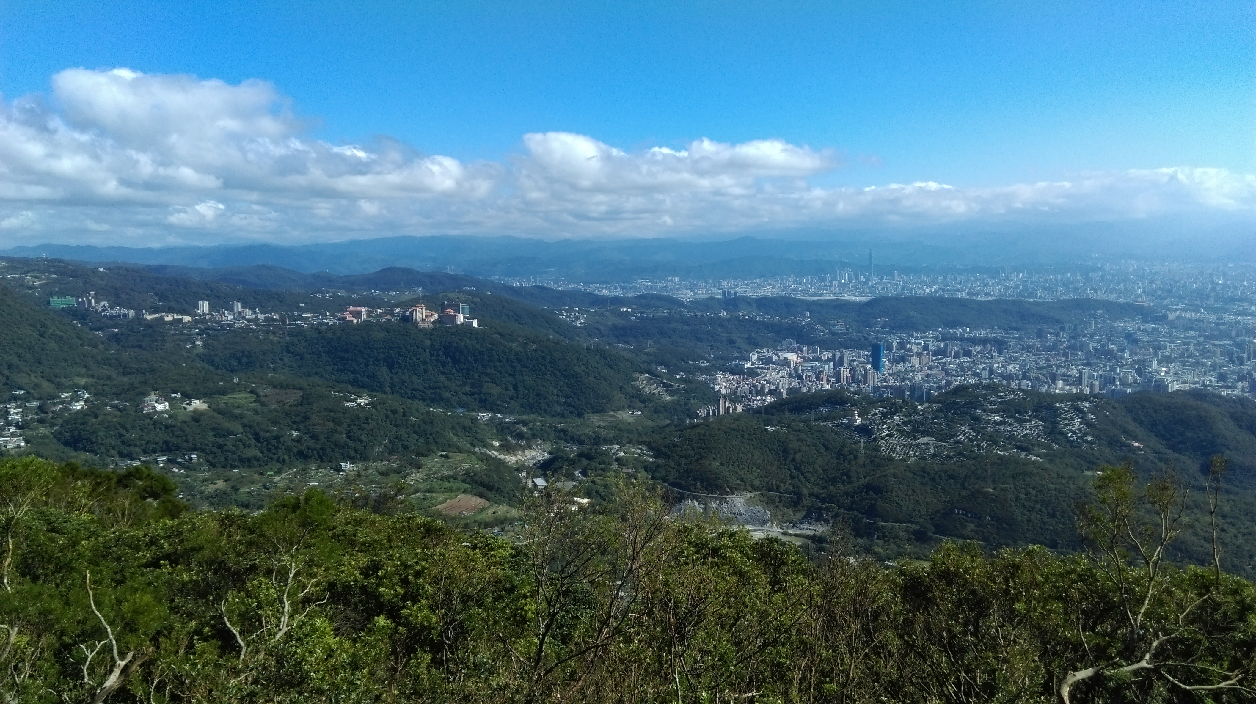
view from the observation deck
From the observation deck there are two trails leading down. Take the trail signposted for Shibafen Trail Entrance.
trail from the observation deck
The trail descends through the trees and joins with another trail going down.
turn right going down
The trail descends gradually enough until it passes what appears to be an old temple.

old temple
After this steep steps continue the descent.

steep descent
The trail passes a farm on the way down and then an old charcoal kiln.

charcoal kiln
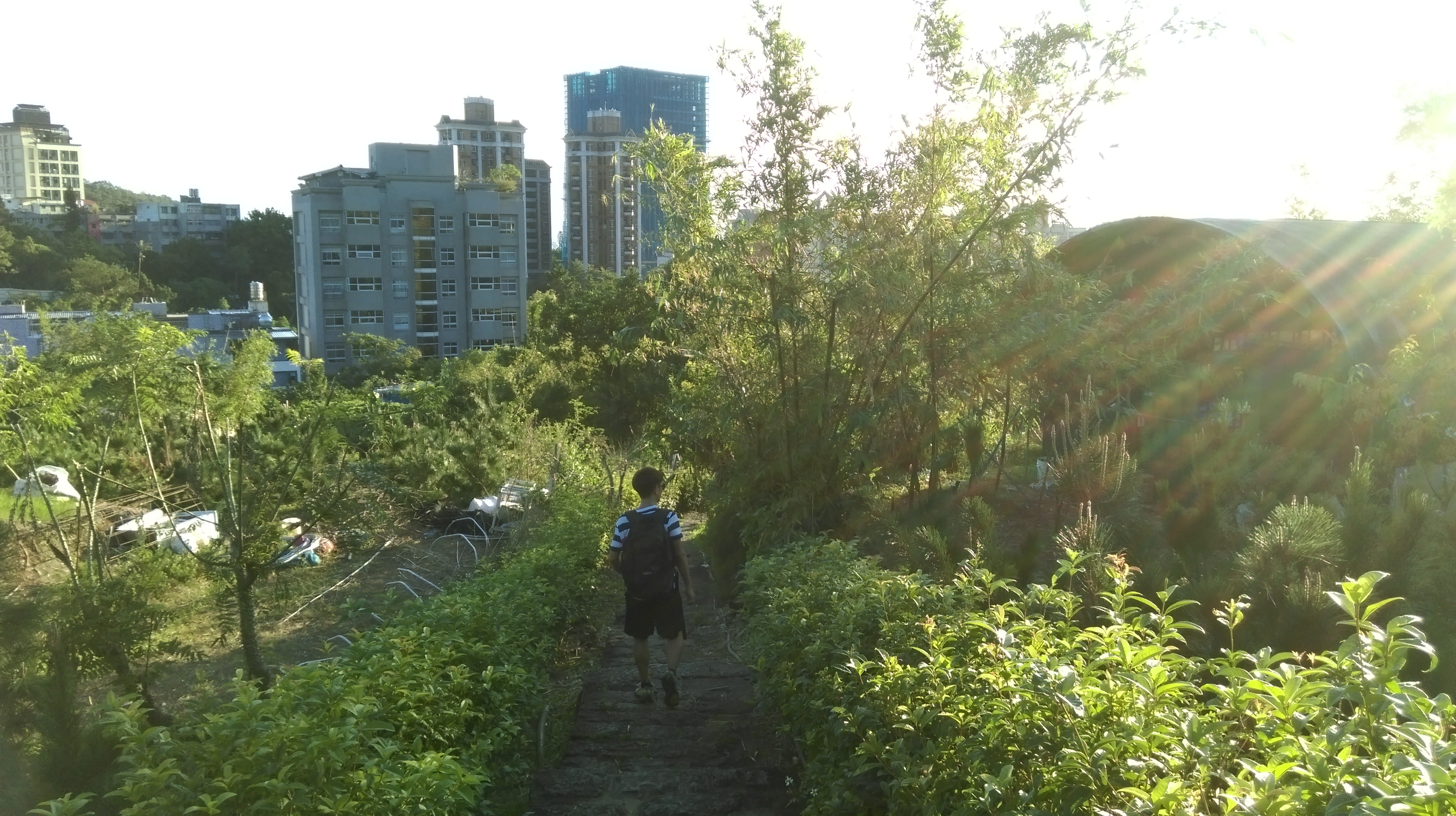
After the kiln the descent becomes gradual again as the trail continues its way to Beitou.

hiking towards Beitou
This trail ends at a road. There is a small store at the end of the trail. To continue to hike down cross the road and take the lane going down on the right.

walk down this road at the end of the trail
Near the end of this lane fork left going past a large boulder in the road. The trail down starts from between the last two houses past the boulder.

fork left at the boulder in the road
The trail descends past the gardens and crosses a stream at the bottom then follows the stream along the hillside with a cemetery above.

stream crossing
continuing towards Beitou
This trail then ends at another road. Walk between to road and the stone wall following the narrow lane steeply downwards. After the short steep hill turn left and trail starts again from the road.

go straight at the end of the trail between the road and the wall, then turn left

start of the trail continuing down
The trail continues to descend going past a Land God shrine, garden plots, a monument, and across a stream.
passing garden plots
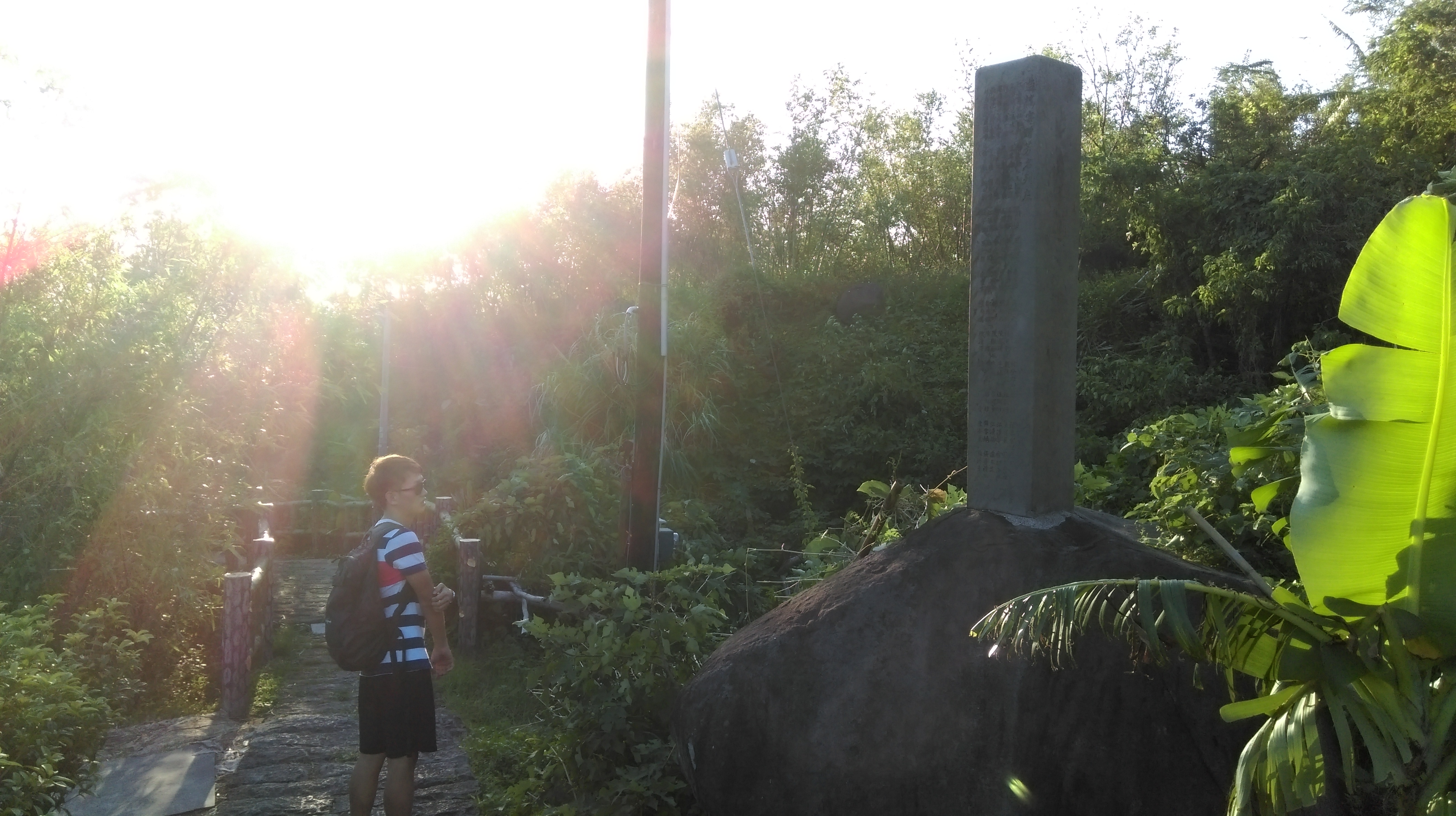
monument and stream crossing
At the end of the trail turn left onto the road then right at the intersection ahead. A short distance from the intersection stairs lead down to a hot springs foot spa.

foot spa
Walk along the stream to Fuxing Park. There is another foot spa in the park, but these ones are always very crowded.
Xinbeitou MRT Station is only a block away from the park.
Map of the Hike
