Zhonghe Ridge and Temples Hike
Zhonghe District, New Taipei City
This is a U-shaped hike that follows a couple of ridges along Zhonghe, taking in several temples along the way.
Access: take the MRT to Jingan Station
Length: 14km, 5.5 hours
Difficulty Level: 1/5
Trail Conditions: paved, stone, and dirt trails
The Hike
Leave Jingan by the station’s only exit, cross the street under the freeway and walk along Jingan Rd. At the end of Jingan Rd, turn right on Fushing Rd, then turn left at Lane 301. Walk up the lane and the trail starts on the left just after the elementary school.
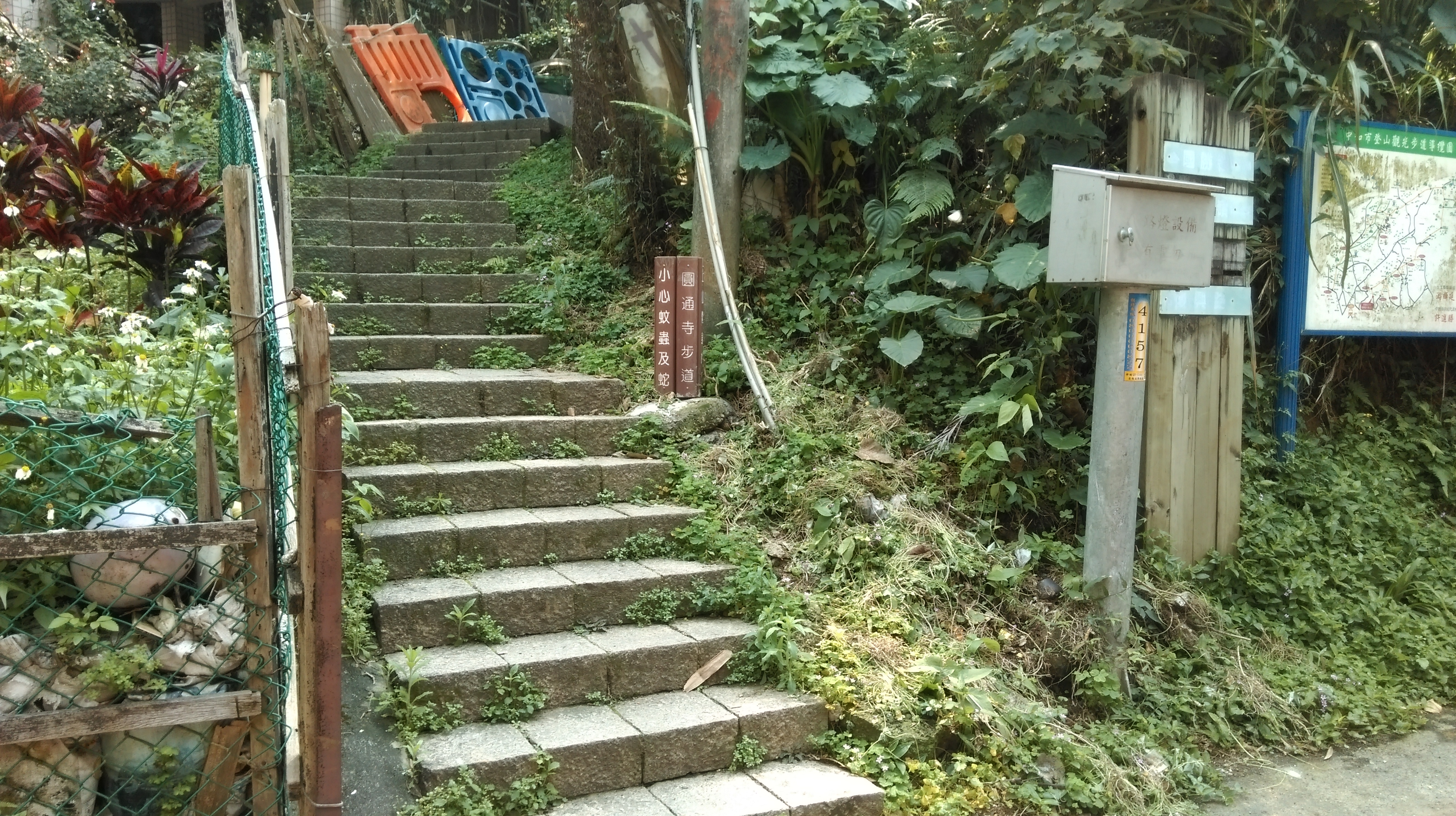
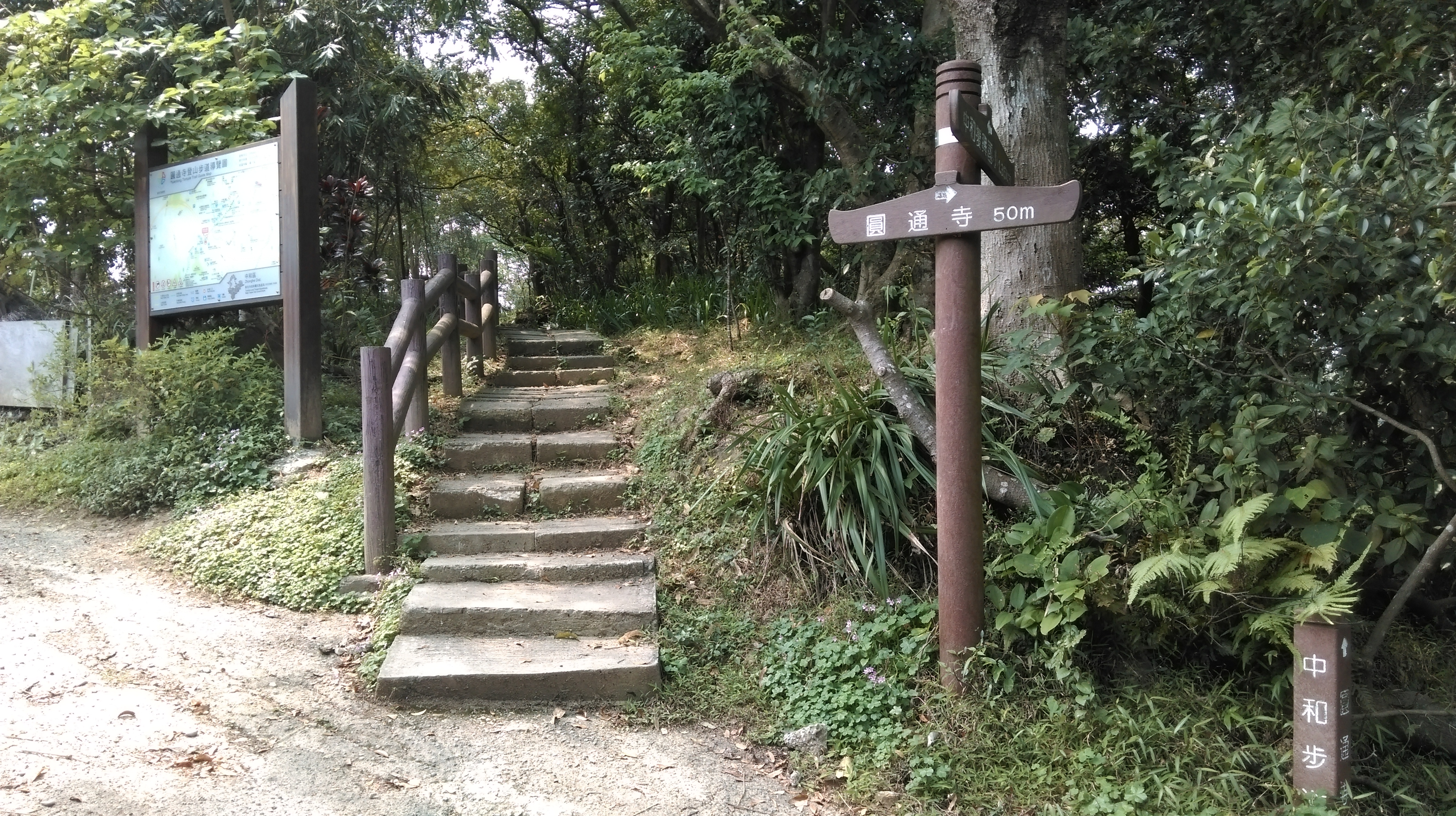
start of the trail
The trail starts as paved stairs climbing upwards to gain the ridge. As this is an urban trail there are lots of trail junctions, but there are no English signs along the way. You want to keep following the signs pointing the way to Yuantong Temple in Chinese (圓通寺).
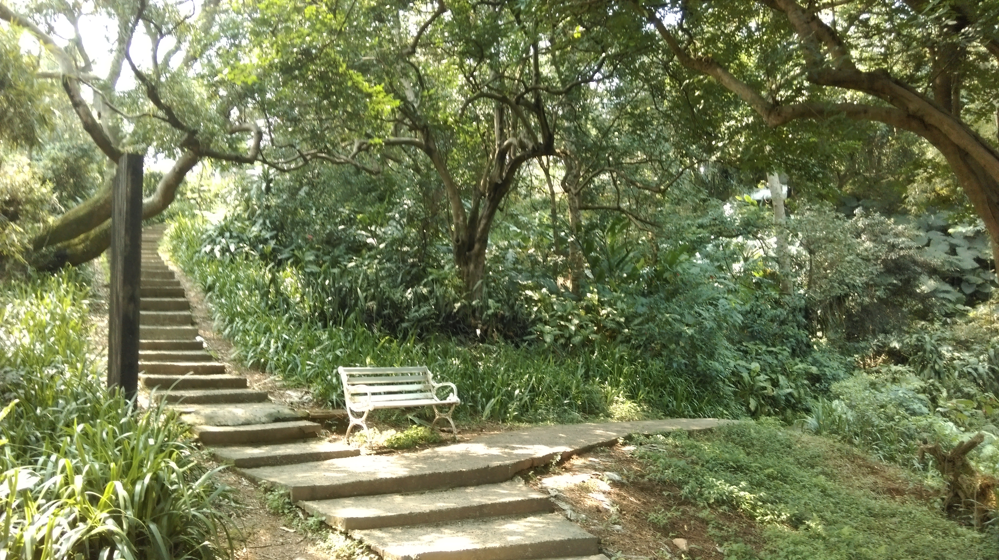
After climbing some steps past a couple of rocks you’ll come the first trail junction. Fork right here, signposted for 圓通寺. The trail then climbs up past some more rocks before flattening out for a short stretch and goes past a wooden rest pavilion. More steps will then lead to another trail junction, signposted again for 圓通寺. Go straight here and keep climbing up the steps. This then leads you to a large rest area. Go straight through here and take the steps going up behind the large tree.
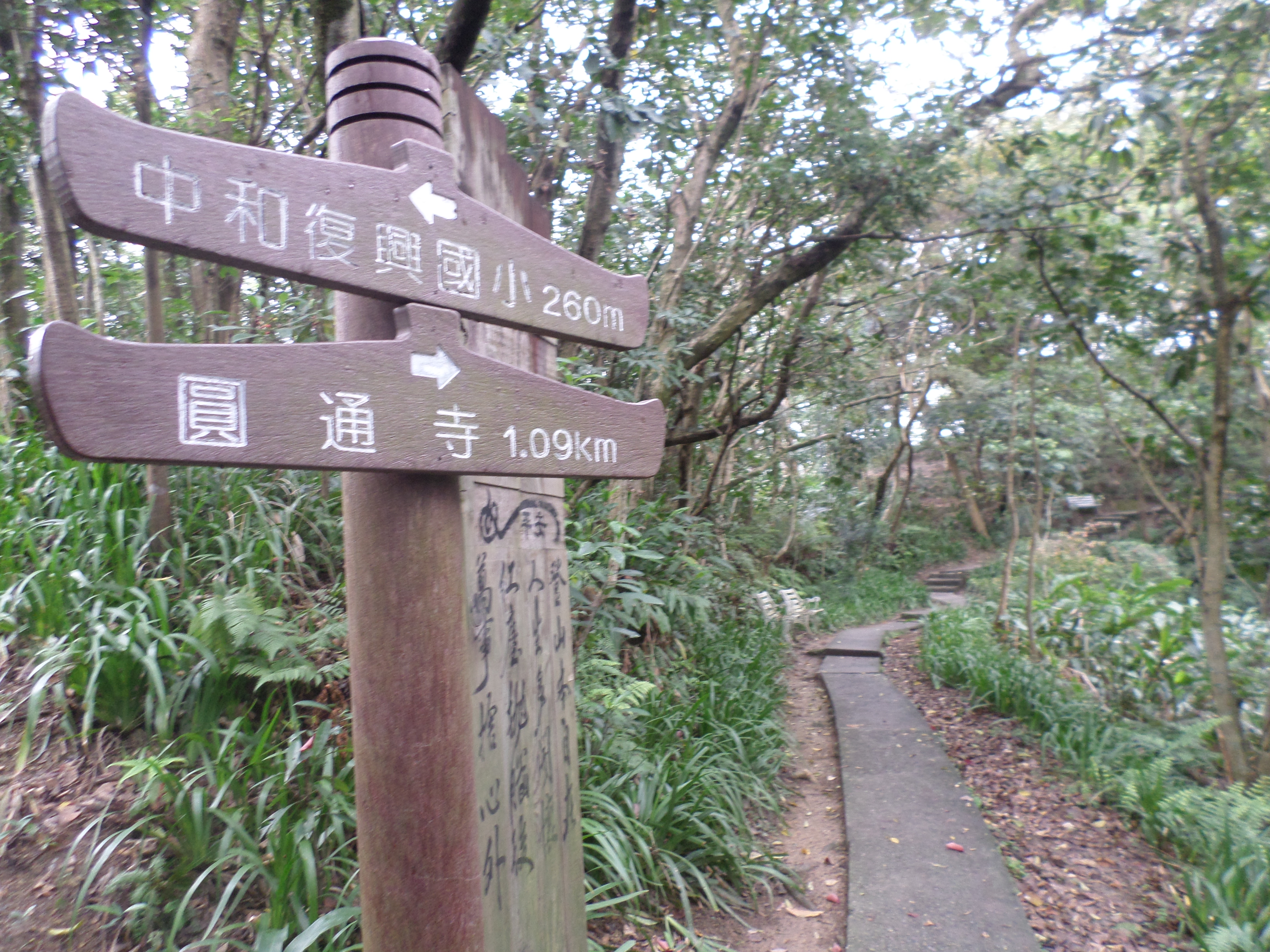
fork right here

going past some boulders
take the left fork here
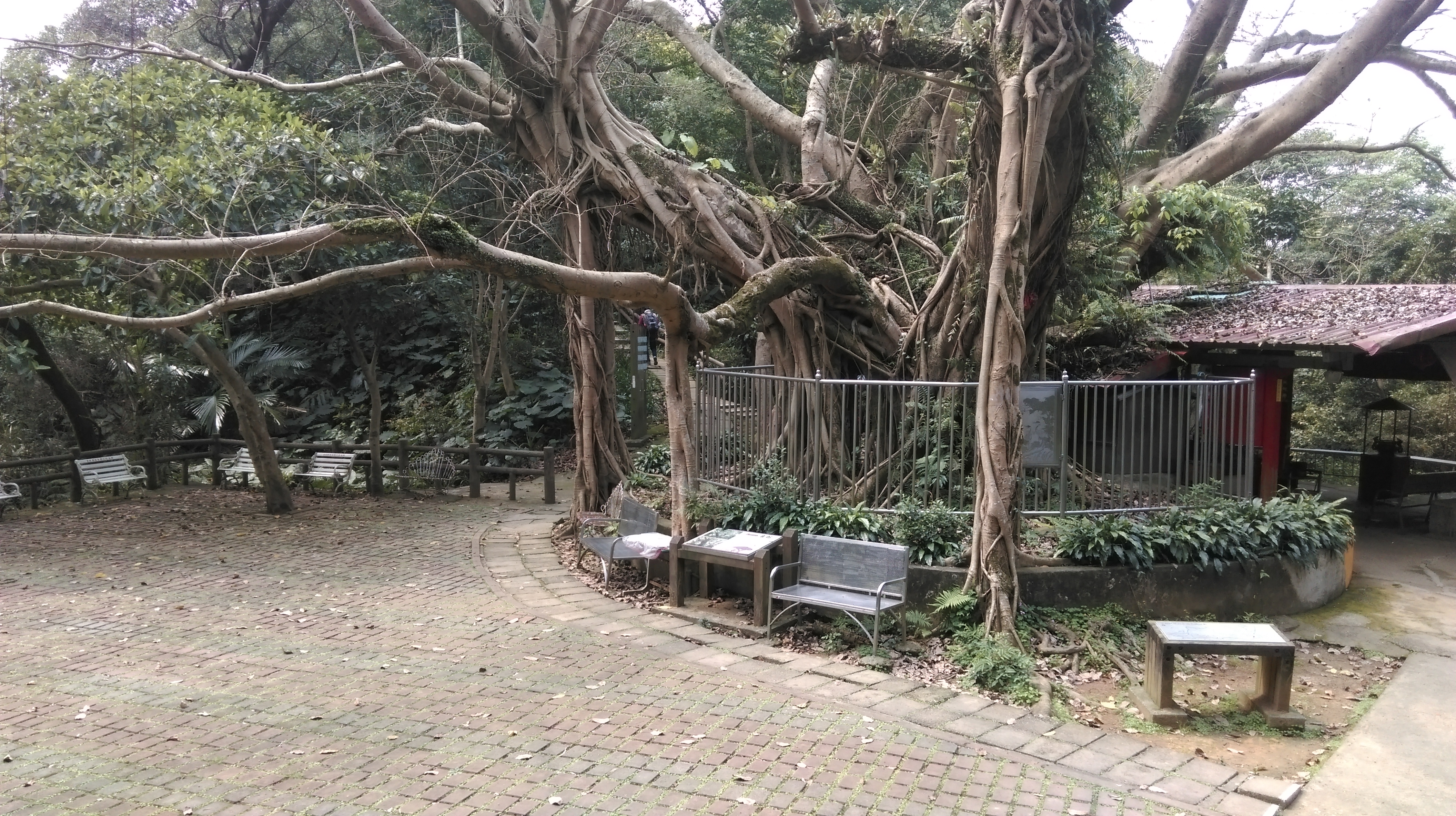
large rest area
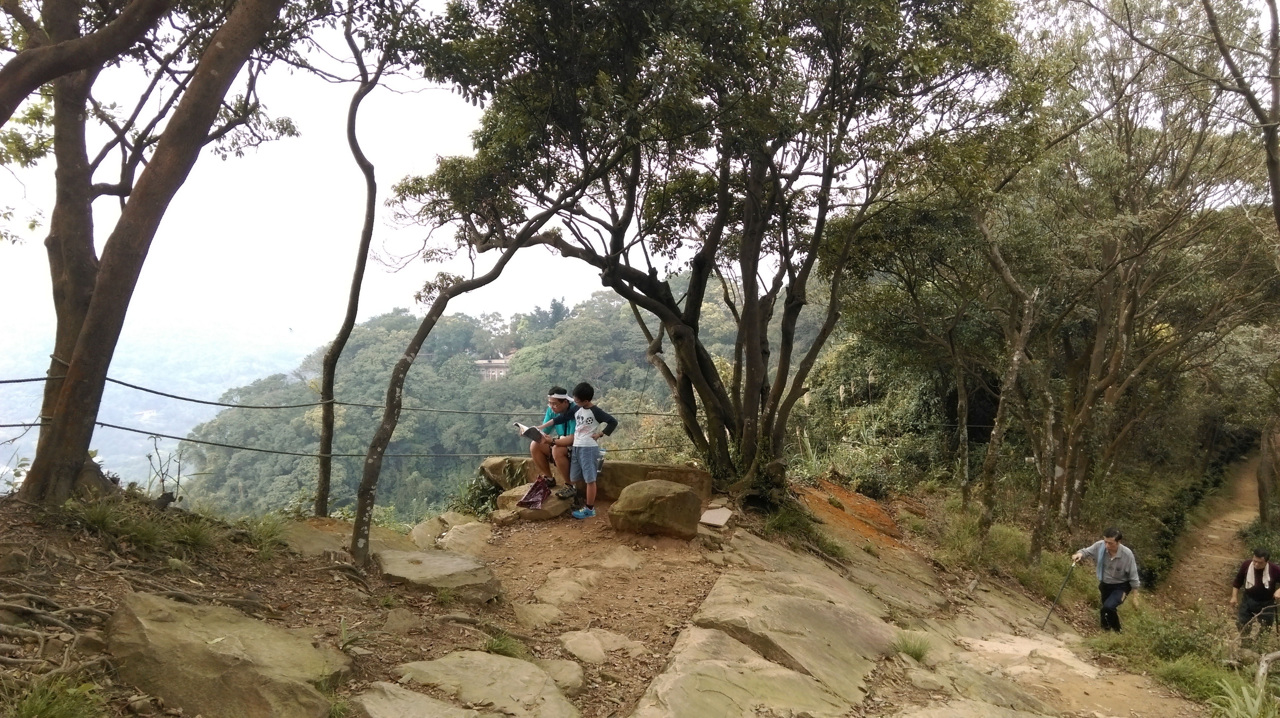
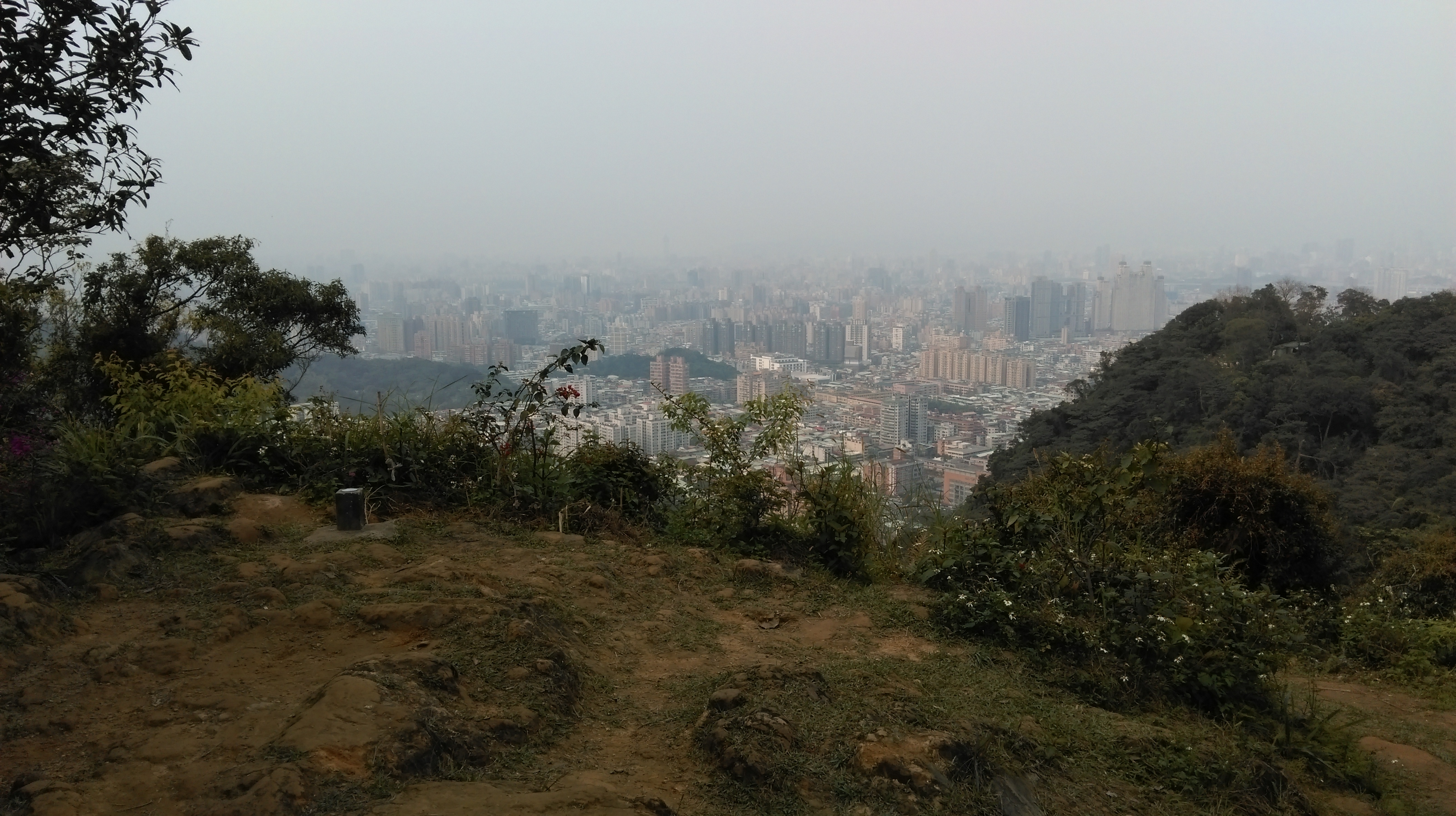
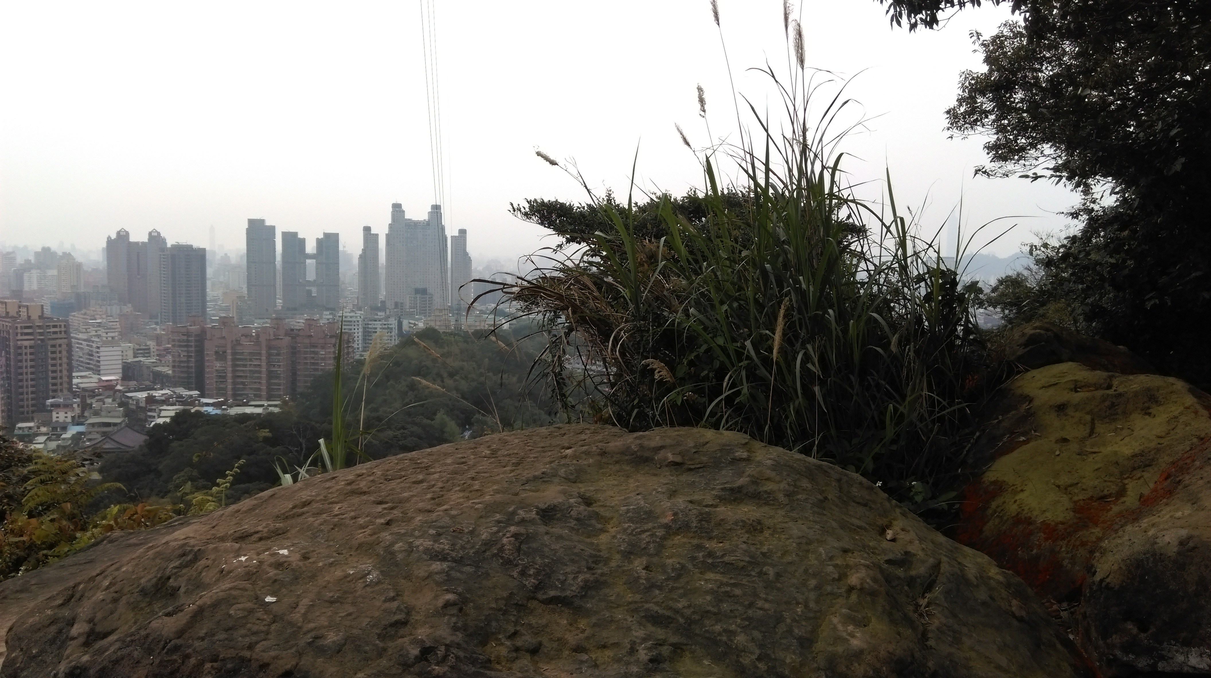
From the rest area the trail contours the hillside before coming to a viewpoint where there is a good view of Zhonghe and Banchiao. After the viewpoint the trail passes a tiny shrine then comes to another junction. Take either fork here.
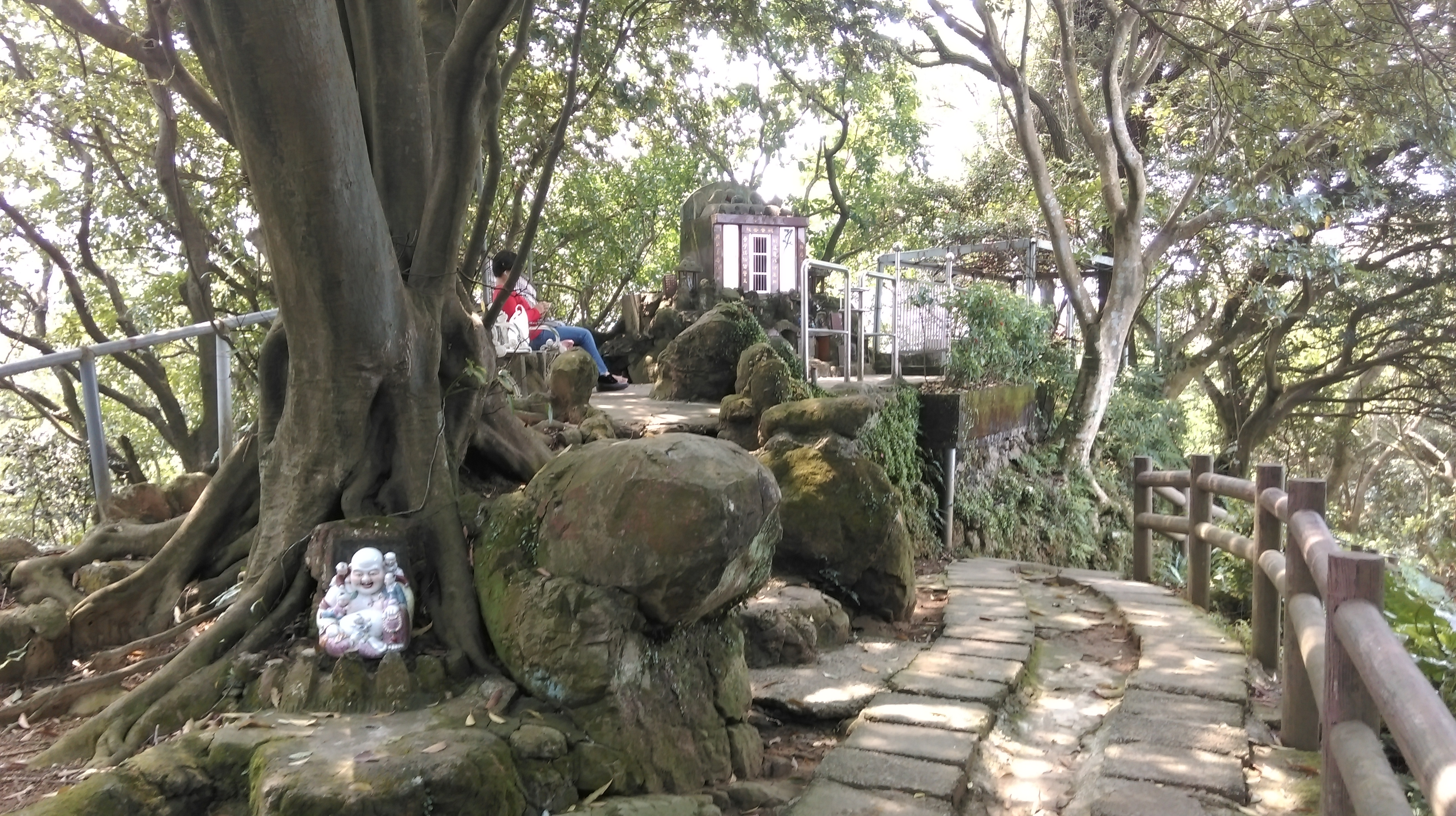
small shrine
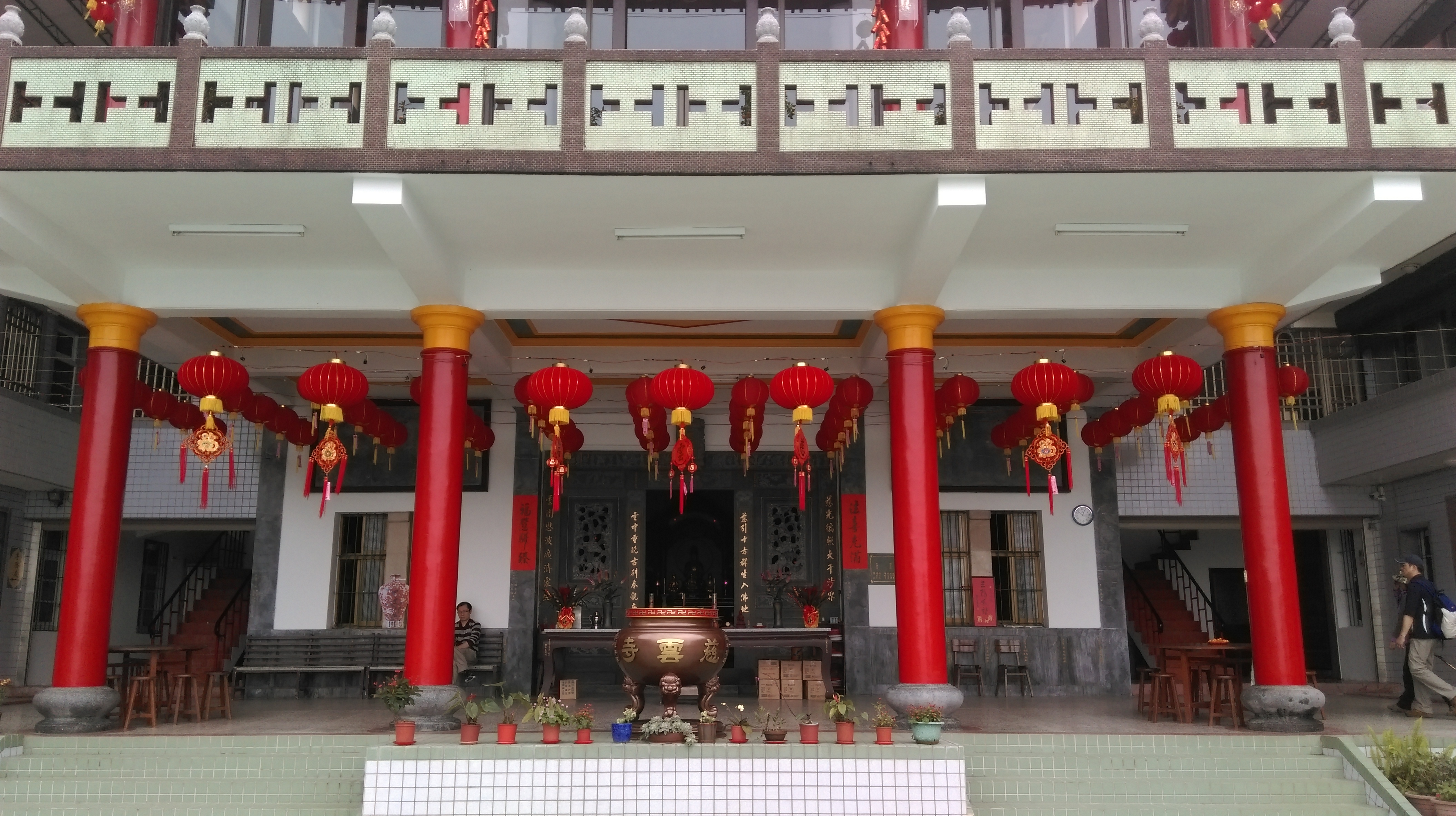
Both forks will bring you to a temple.

take either fork here
You’ll find the trail starting again in front of the base of the temple, again signposted for 圓通寺. Before taking the trail go up to have a look at the temple. While this fairly new temple is nothing to look at architechturally, it does have another good view of Zhonghe from its second floor terrace.

view of Banchiao from the temple
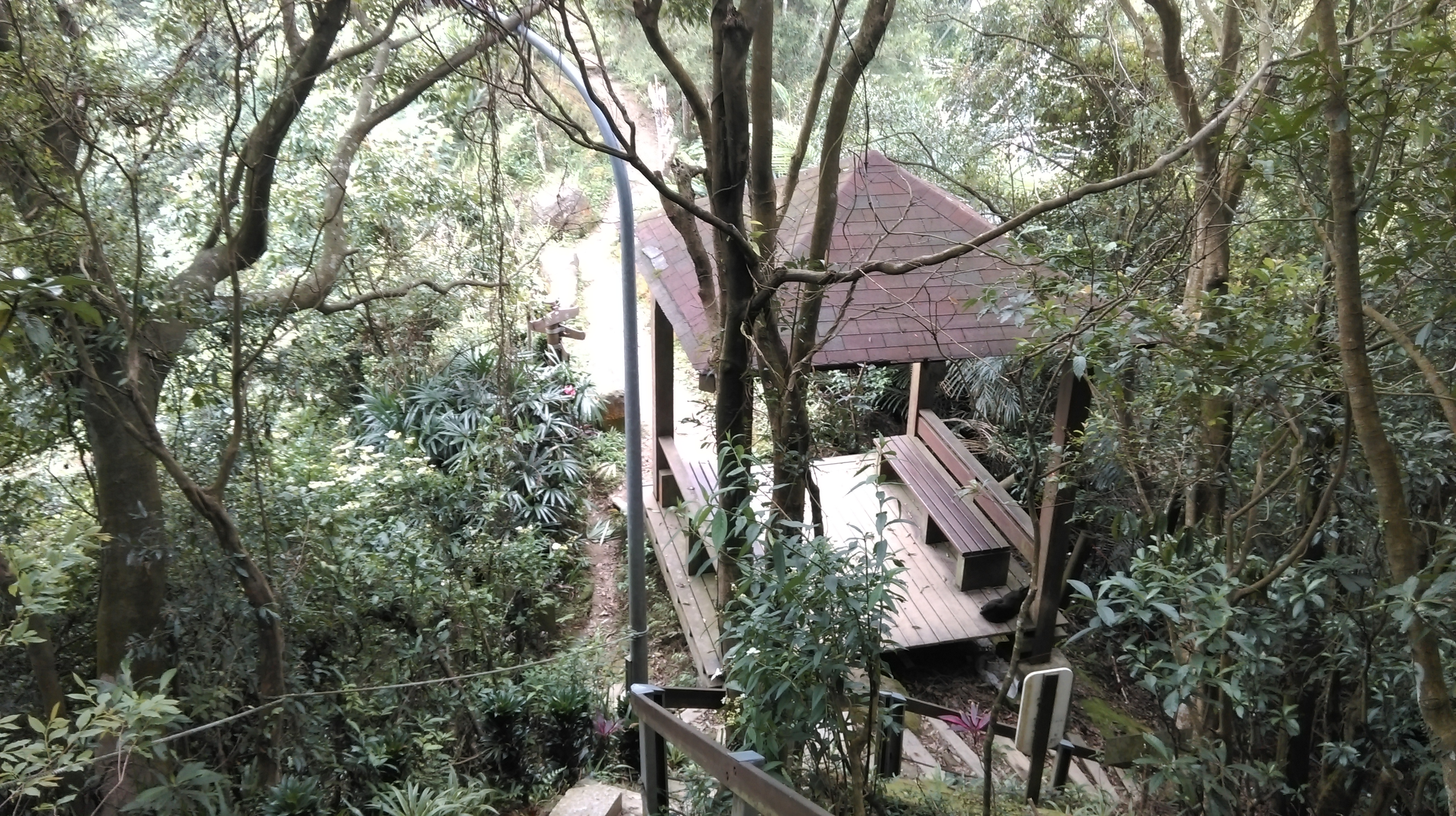
After seeing the temple, return back to the trail, follow it, and in a couple of minutes you’ll arrive at a rather ugly looking pavilion and rest area where old people like to sing karaoke. There are multiple trail junctions here. Take the most right trail, black steps going steeply downward.
trail at the base of the temple
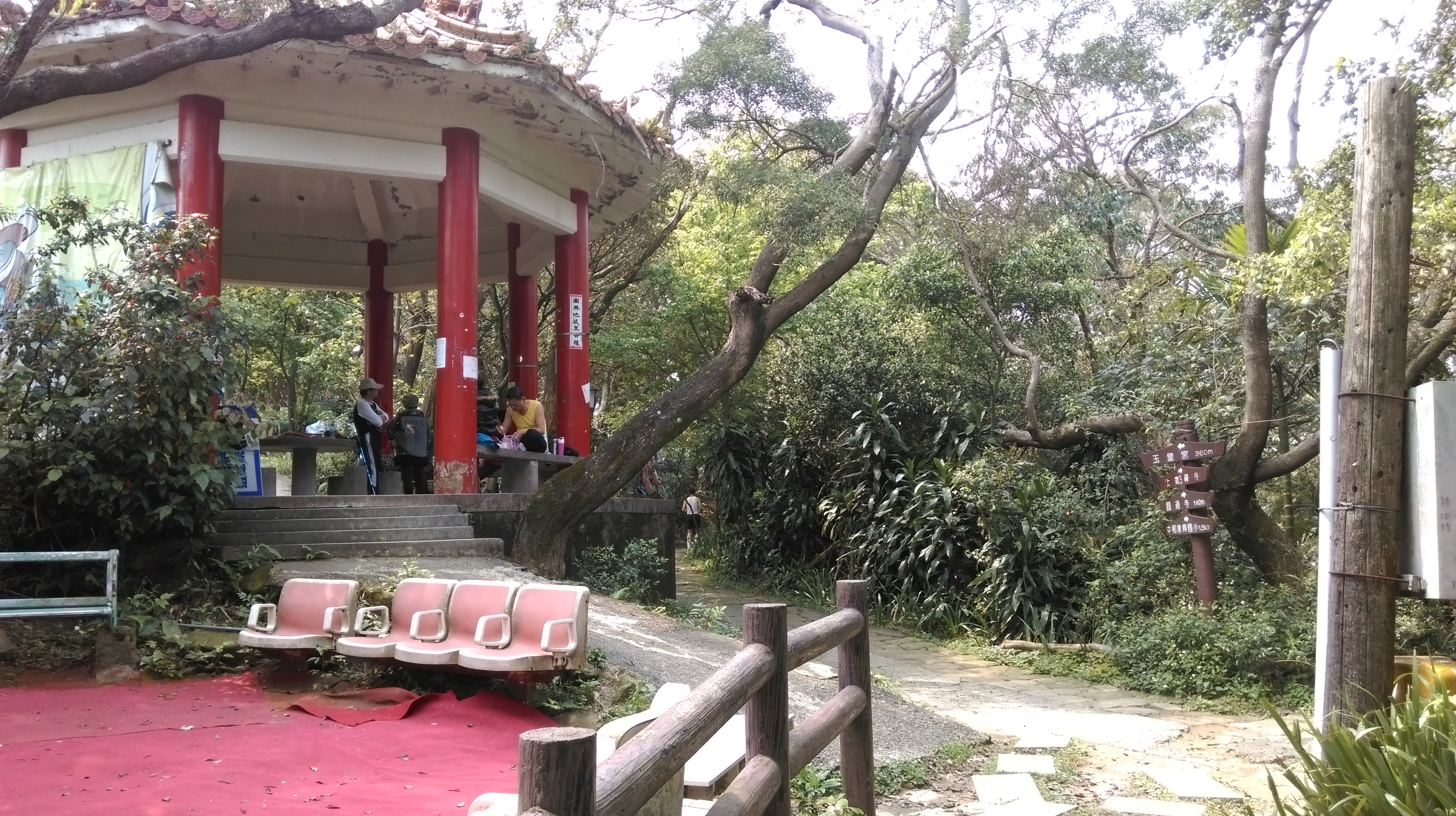
turn right at the red pavillion
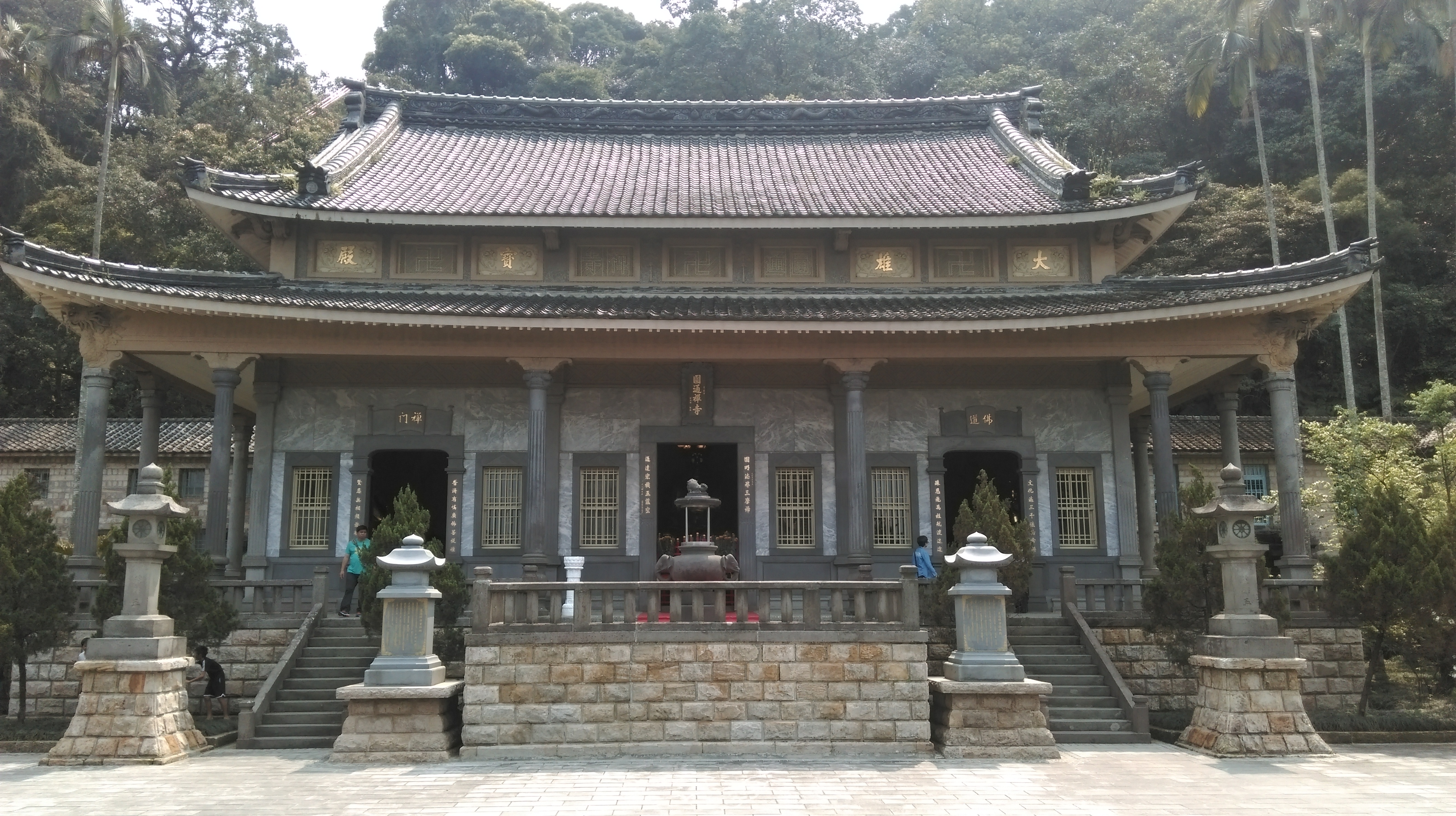
These steps lead to Yauntong Temple and are a bit slippery so be careful on them. Turn right at the bottom of the steps. Yuantong Temple is a Japanese era temple built in the 1902s and is easily the best looking one on the hike.
Yuantong Temple
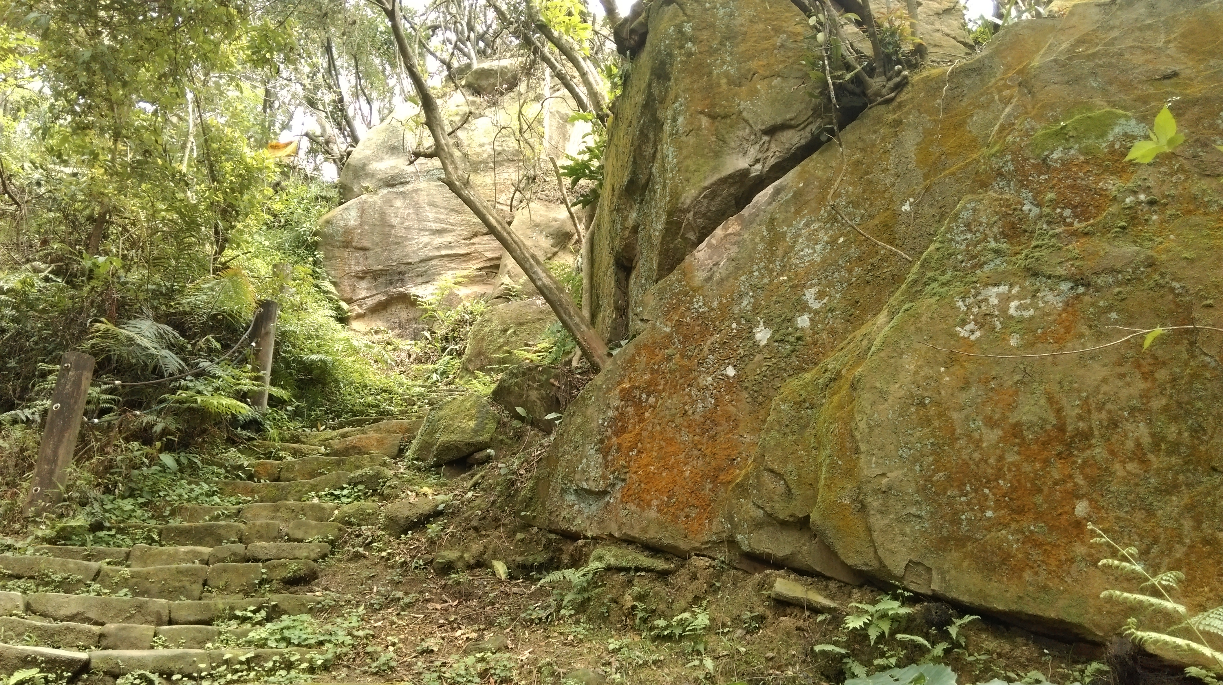
After seeing the temple, go back to the stairs and keep going straight to the cliff face up head. At the base of the cliff take the steps climbing up through A Thread of Sky, an opening in the cliff. The path emerges at a hole in the top of the cliff. (It gets very narrow about halfway through. Larger people may not be able to fit through here. If can’t make it through then just go back up the same steps you took coming down to reach the temple.) From the top follow the path back to the ugly rest area.

A Thread of Sky
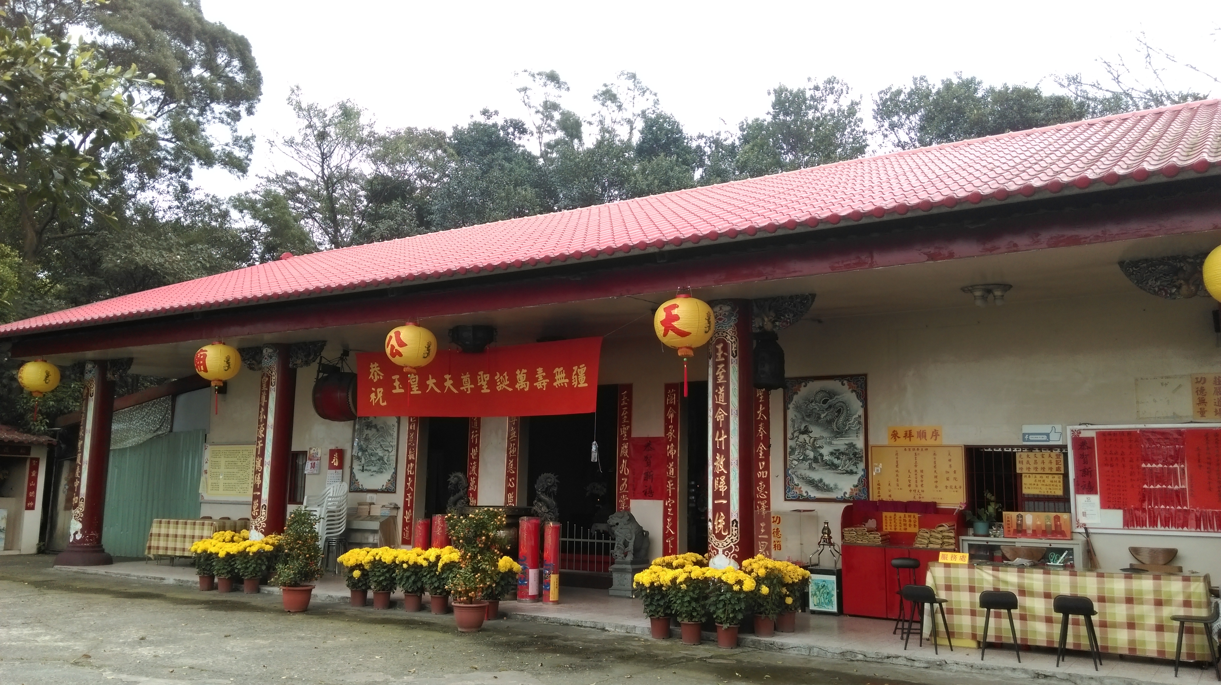
Turn right at the rest area and follow the stone path past a light post and around a bend. In a minute you’ll reach another temple. Turn into the temple and cut across the terrace to the other side.
another temple
Go straight out the other side and walk on the narrow road. On the left side of the road you’ll pass the only good trail map, and the only use of English, on the entire hike. Ignore the trail going up past the map and keep walking on the road passing under a red arch and ending at yet another temple in a few minutes.
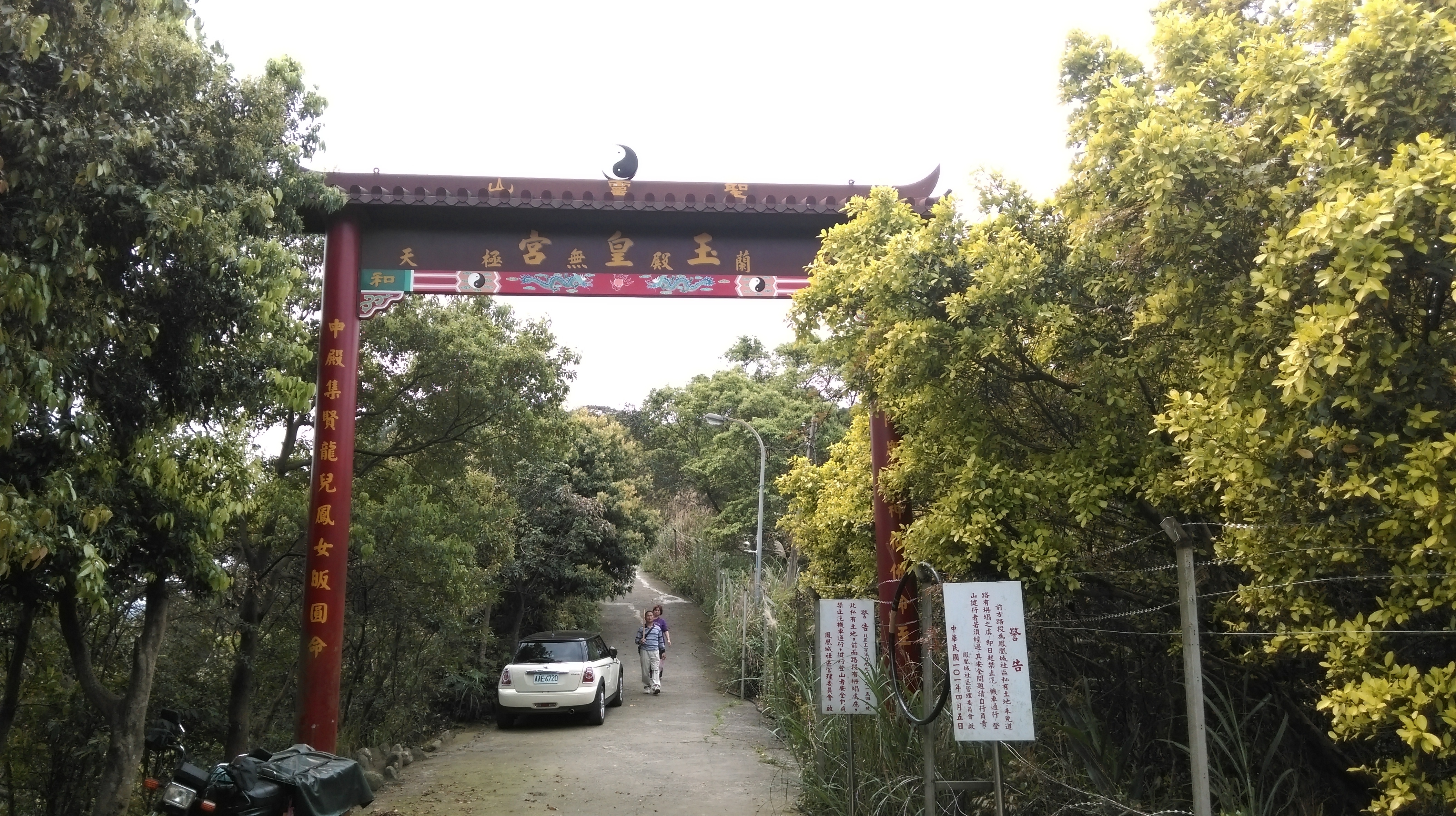
pass under the red arch
yet another temple
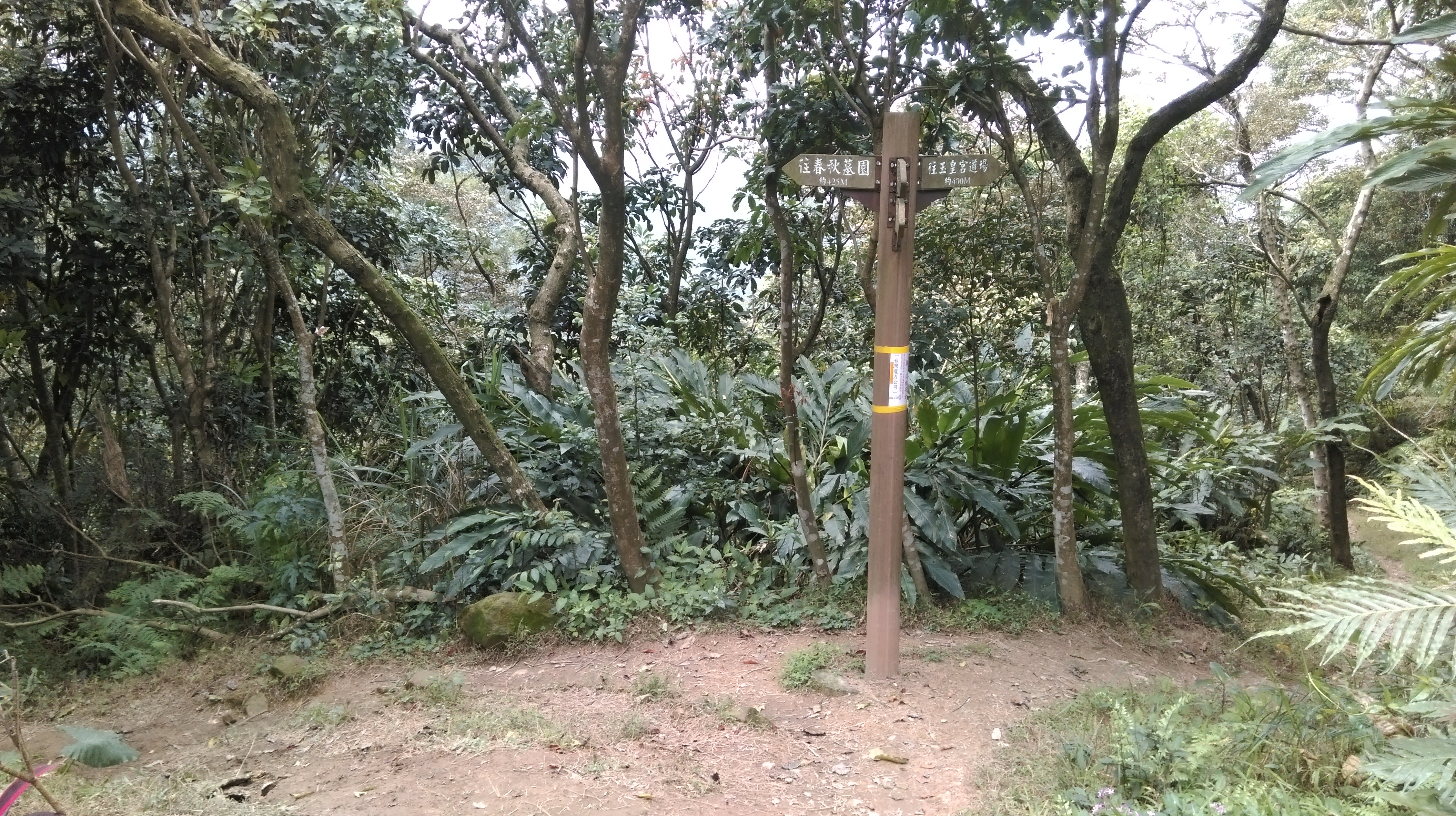
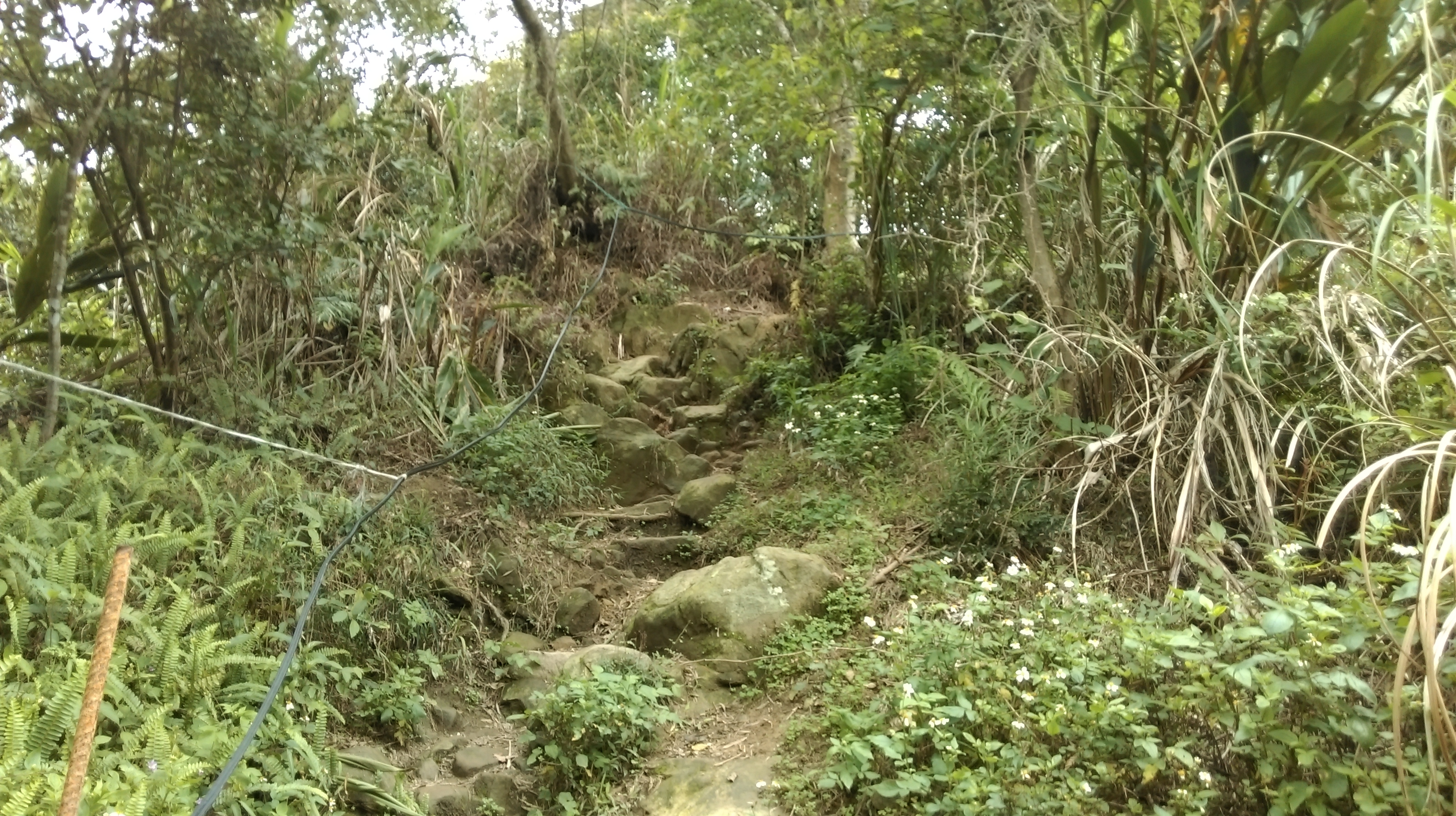
Cross the terrace in front of this small temple and take the steps going down on the other side. After the temple there are a series of quick, not signposted, turns to make. Take the steps going down from the temple past some large boulders and merging with another set of steps coming down. Turn left when the steps make a sharp turn to the left, don’t take the dirt trail going straight. There is a pole here and possibly a sign taped to the pole. After the turn the trail changes to a dirt trail. Then turn right at the next trail junction then immediately left. There is a signposting here in Chinese only pointing the way to a cemetery.
going down from the temple past some large boulders
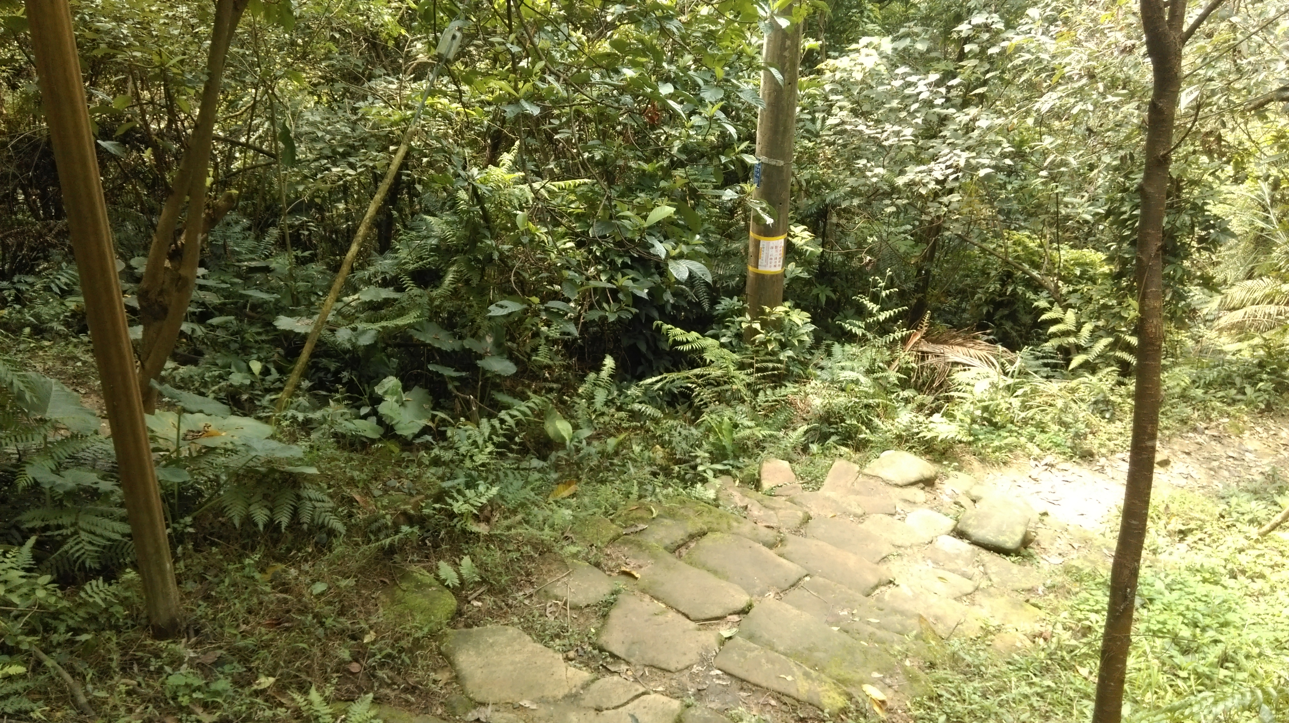
turn left here

turn right here…
…then left here
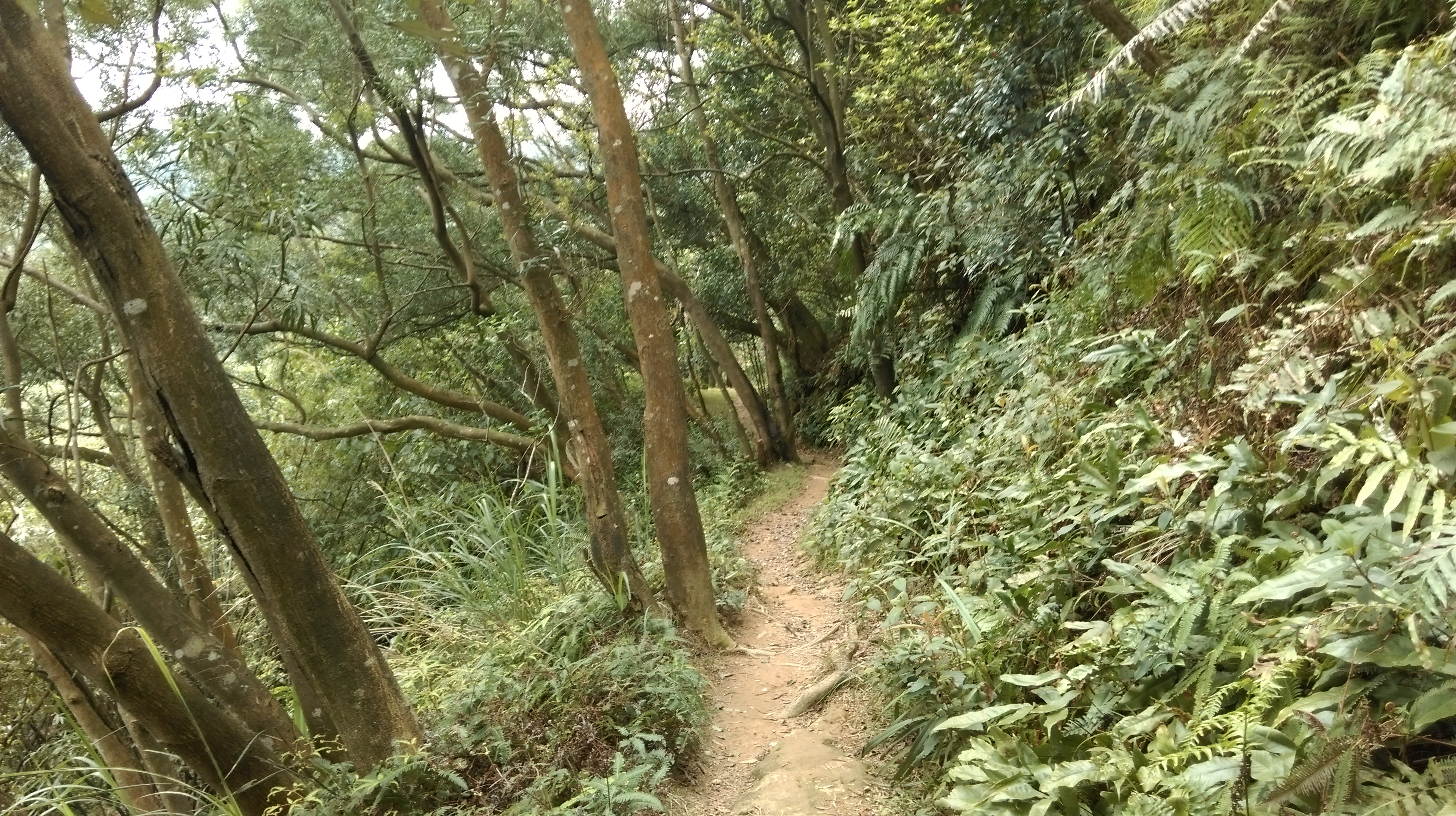
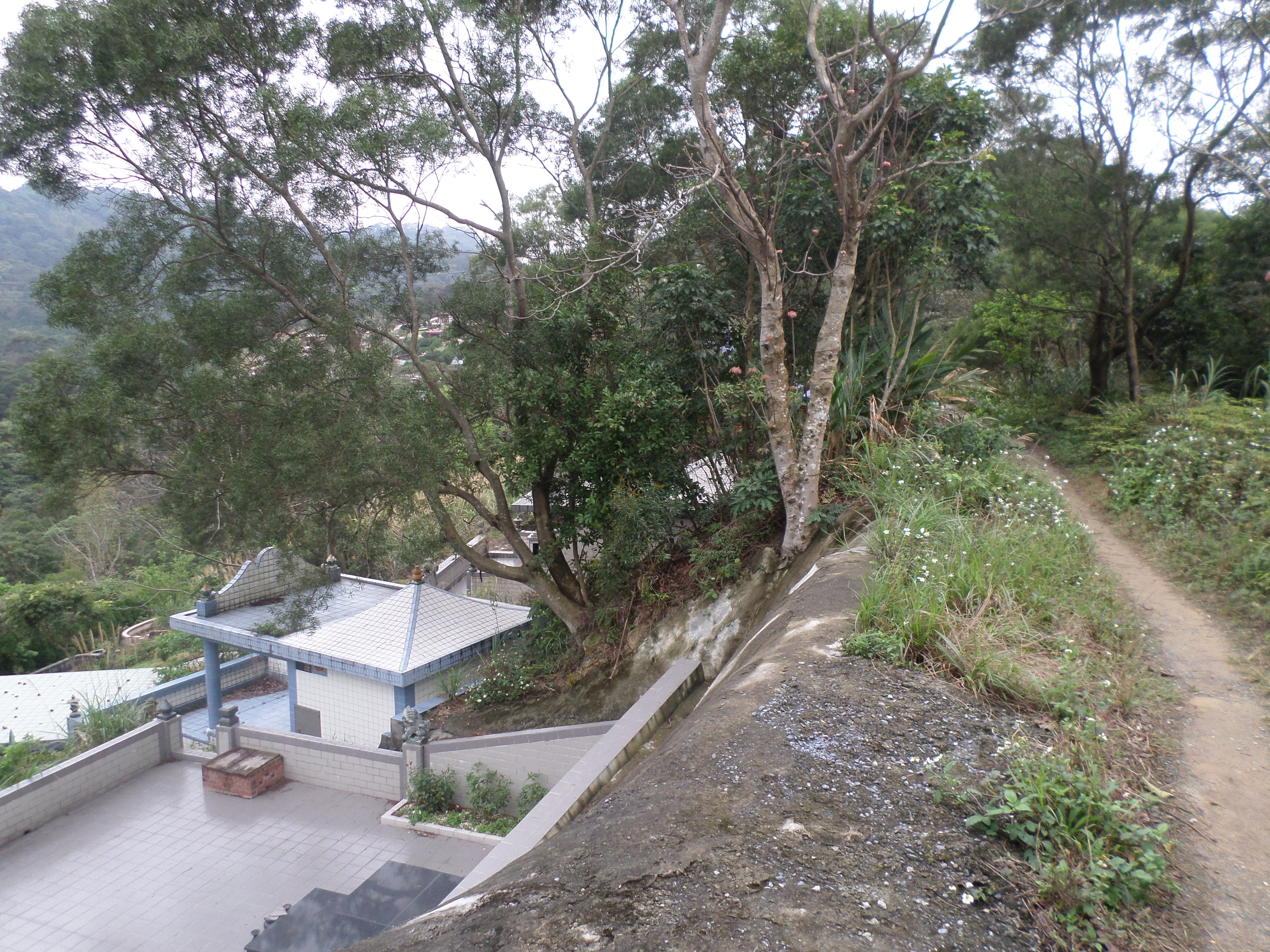
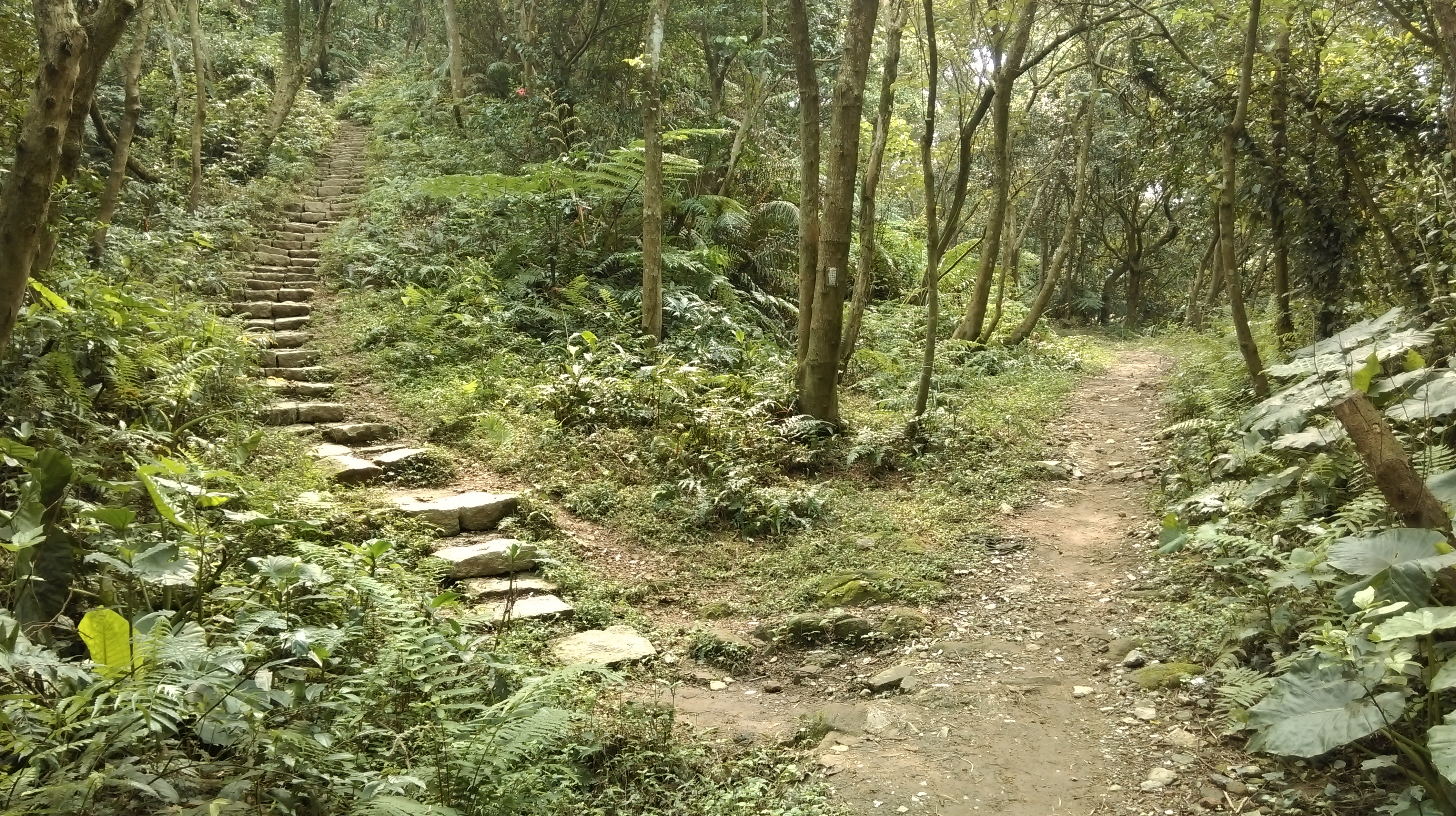
From here follow the trail going straight and climbing some stone steps up ahead, ignore a trail branching off to the right. The trail passes through a shallow cutting then contours the hillside before wooden steps lead down to a road. Cross the road and take the dirt trail climbing up on the other side. Keep following this trail going straight. The trails climbs over a small hill the down the other side and passes an electrical tower, then merges onto a small road passing through a cemetery.

climb the step ahead
going along the hillside

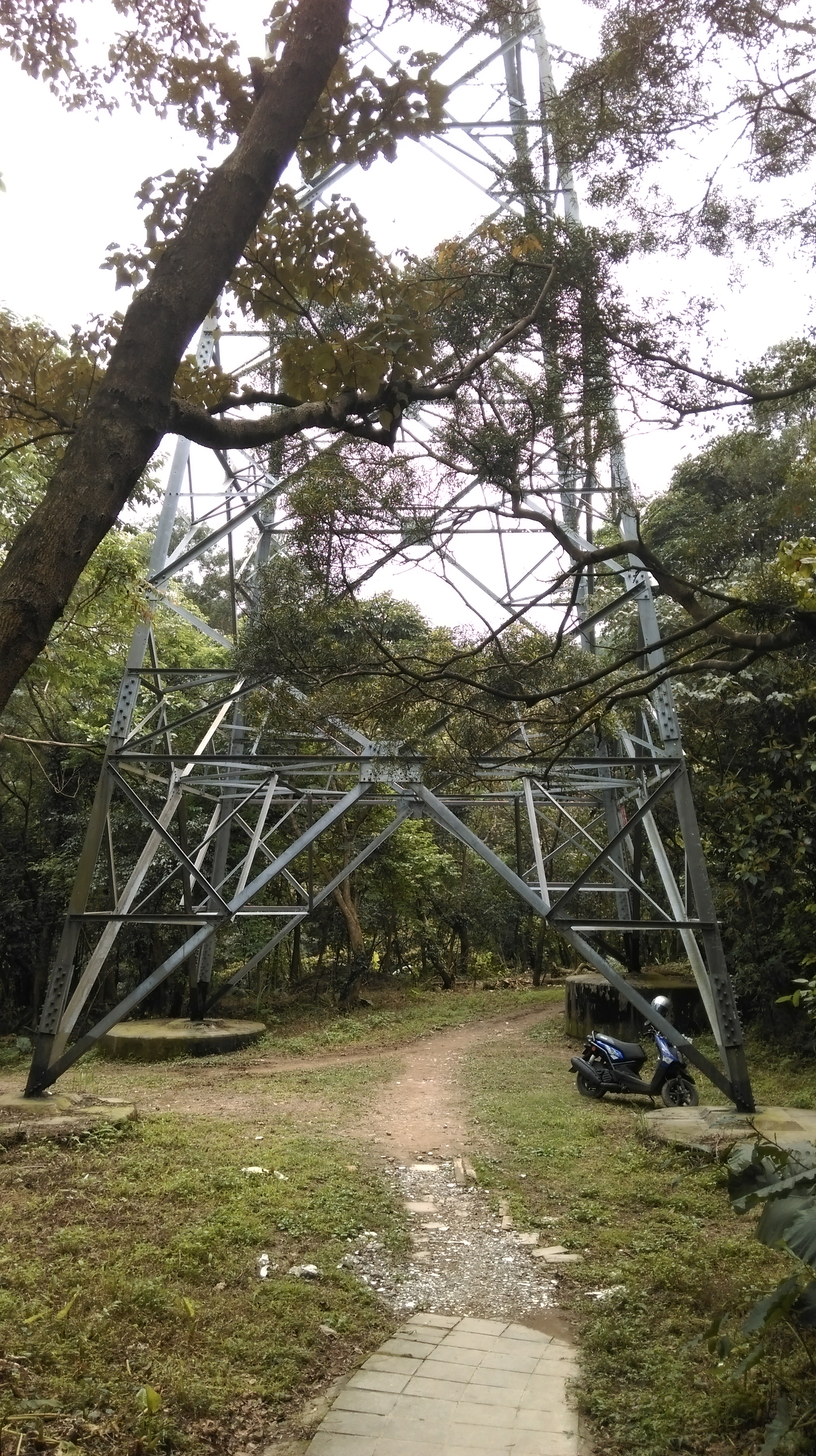
go past the electrical tower
going through the cemetery
Go straight following the road through the cemetery. The road turns into a stone trail on the other side of the cemetery. This flat trail contours the hillside until reaching an electrical tower.

trail leading away from the cemetery
The stones end at the tower. Walk under the tower, keep going straight, then take an unmarked trail of stone steps going up on the left.
pass under the electrical tower
take the steps on the left after the tower
Follow this stone trail climbing upwards until it ends at a T-junction. Turn left at the junction. The turn is signposted in Chinese only for the housing development at the top of the hill.

trail leading up

turn left here
Follow this stone trail climbing up and ignore any trail junctions along the way. The stone trail will end at an unmarked fork near the housing development. Take the right fork, a dirt trail going past a water tank, not the steps leading down. This trail dirt leads past some garden plots before ending at the housing development.

fork right here
At the end of the trail turn left and walk on the road going past OK Mart down the hill. The road makes a turn to the left, then take the first left after the turn. Walk along this road then turn left into a small parking lot. The trail starts up again at the parking lot.

walk through the community

turn into this small parking lot
From the parking lot the trail climbs steeply, goes past a fence, and keeps climbing to a wide clearing. At the clearing there is a knife-edge rock that you can climb onto for good views.
climbing away from the parking lot
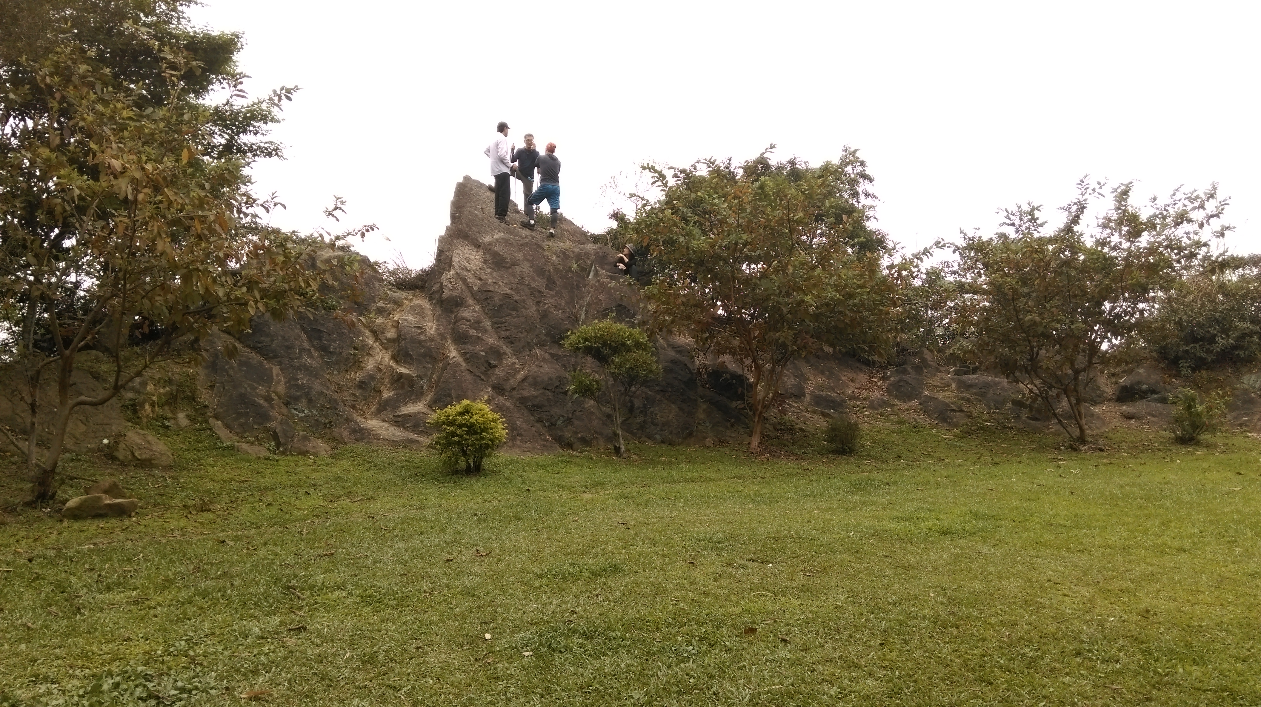
clearing with knife-edge rocks
From the clearing keep following the trail past a shack and another electrical tower. After the electrical tower the trail makes some rocky climbs sometimes with the aid of ropes. Eventually you’ll arrive at a clearing with flowers and a couple of benches. Turn left at the clearing and follow the trail to a wooden pavilion.

rocky trail
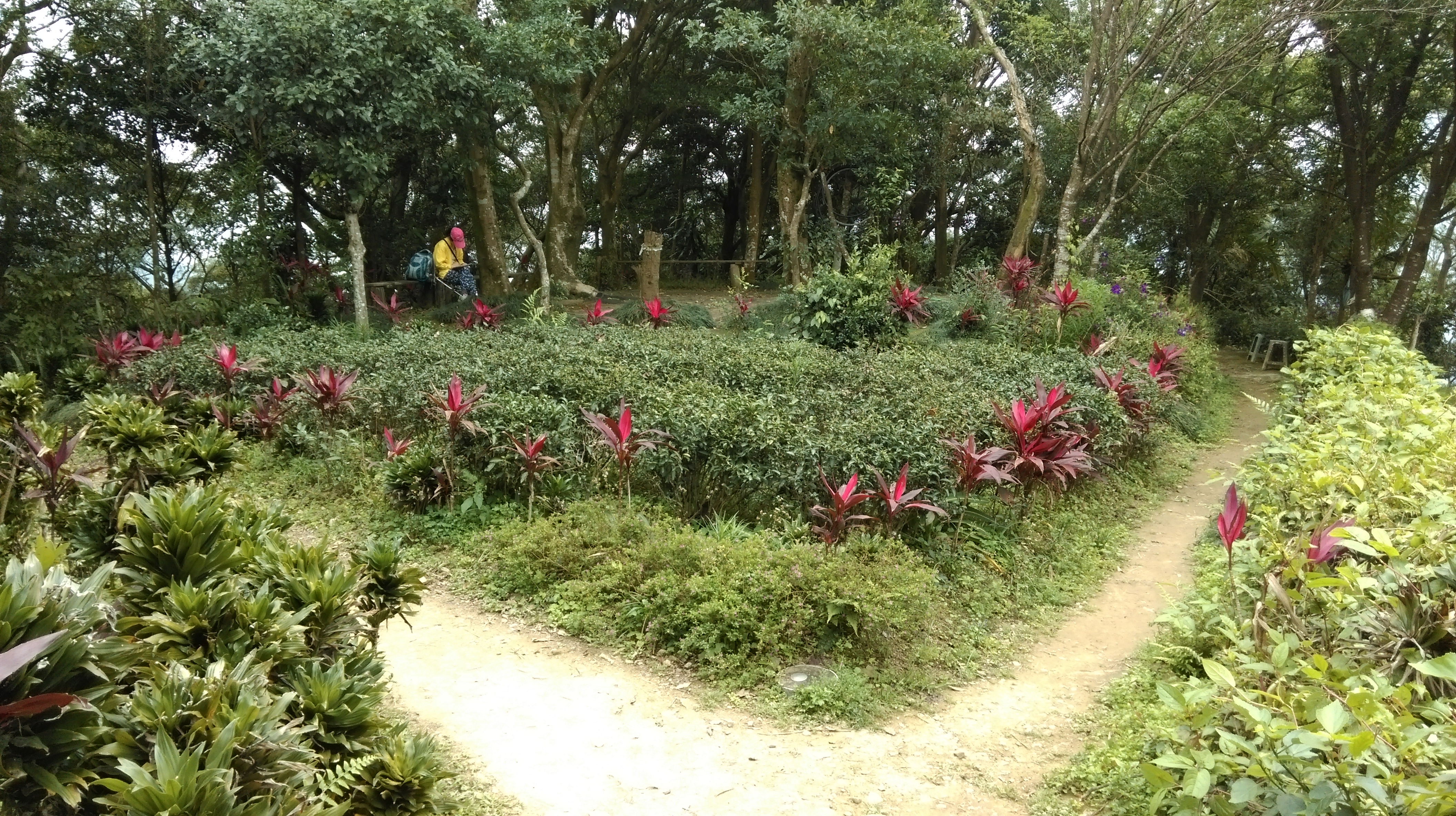
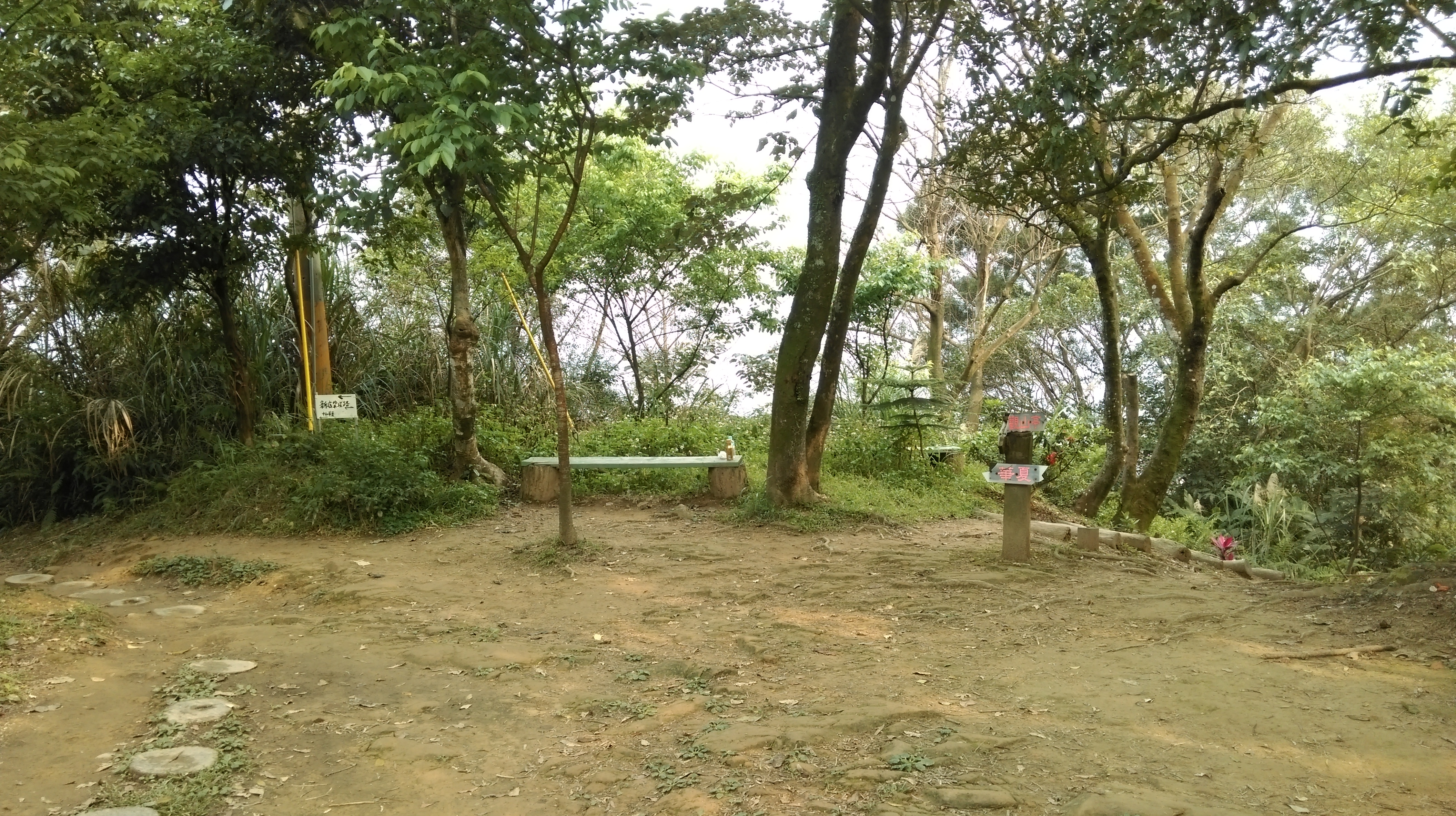
the trail turns left at this clearing and rest area
Go straight through at the pavilion and you’ll soon come to an exercise area with a shack. Go left past the shack and the trail climbs upward to the peak of Mt. 南勢角山. There is a wooden pavilion at the peak and good views.
cross this pavilion
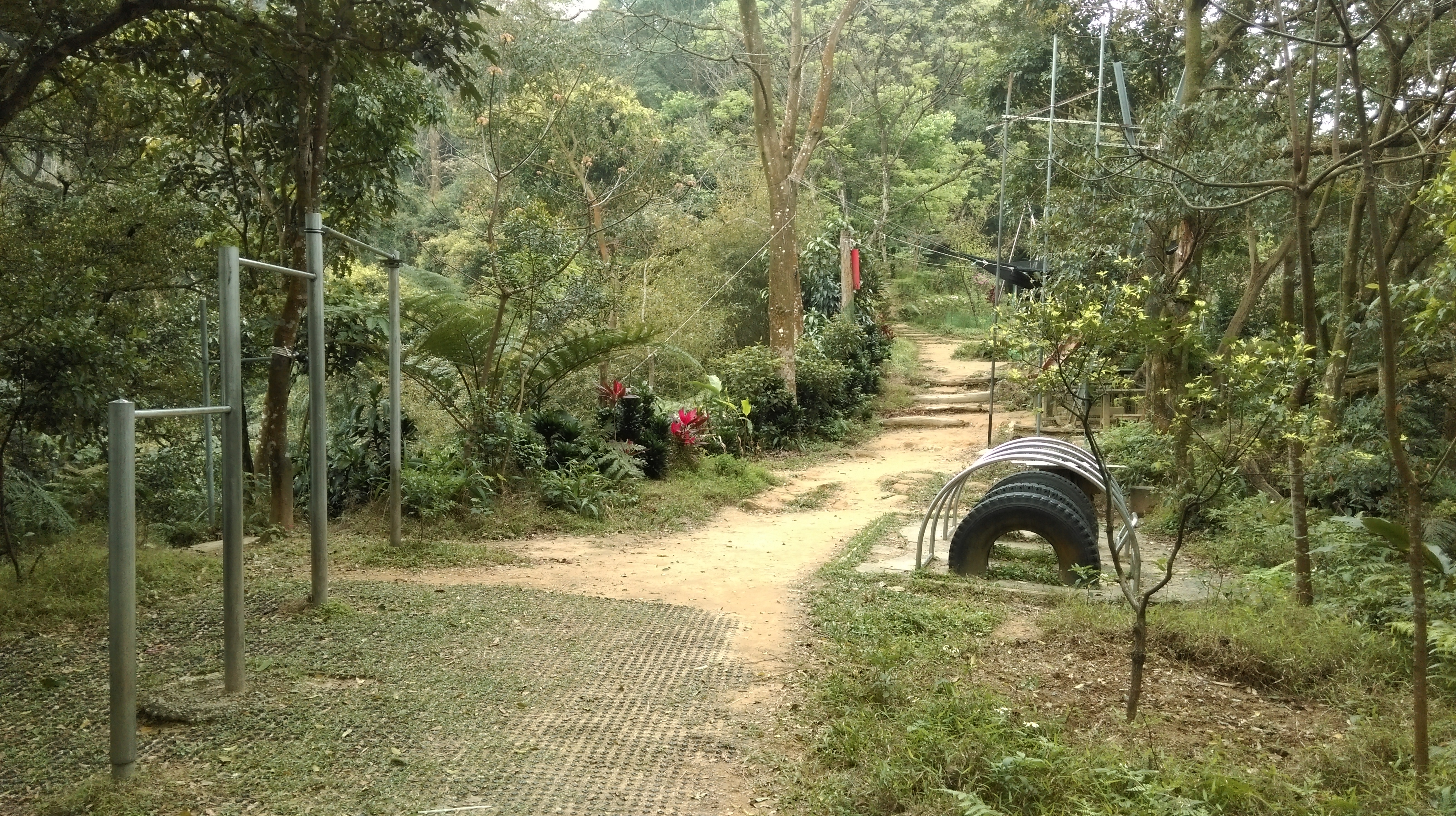
passing through and exercise area
near the peak
From the peak keep following the trail along the ridge until you come to the turn off for Fude Temple. The turn is marked in Chinese only by a green sign pointing the way to the temple. From the turn climb the wooden steps upward, then steep steps lead downwards to the temple.

fork left here for Fude Temple
Fude Temple is one of the top three busiest temples in the Taipei area with crowds that rival Longshan or Xingtian Temples. There are good views of Zhonghe from the temple, and you can watch the line of cars and buses slowly snaking their way up the steep hairpin road that leads to the temple. The temple itself is very colorful and smoky, with tables full of food offerings and people praying for good luck. Around the back there will likely be a long line of people queuing to make offerings to several small shrines behind the temple.
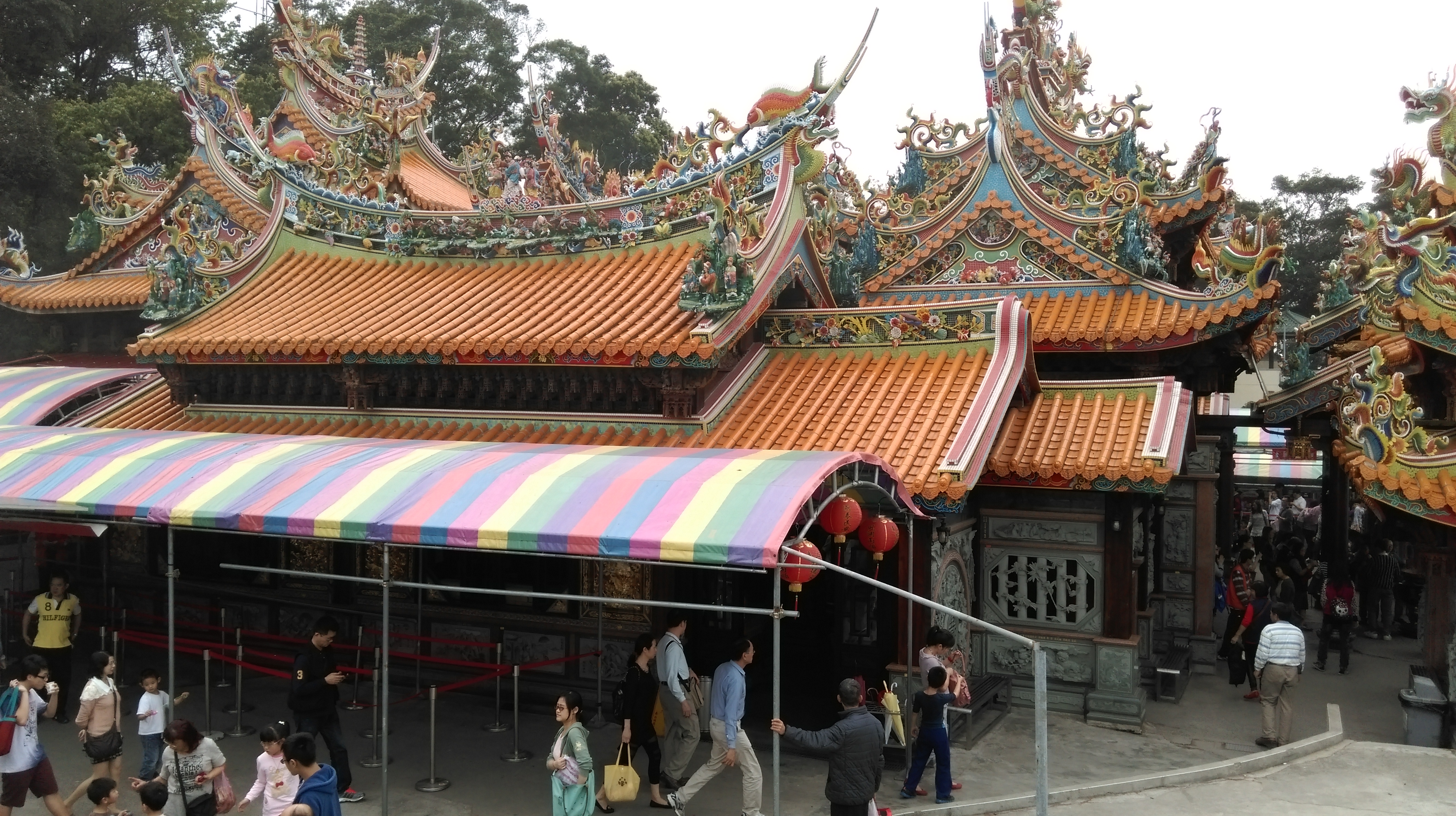
Fude Temple
From the temple return back up the wooden steps to the fork where you turned off. Follow the trail downwards, merging with another trail, and leading past a shack. From here keep following the wide dirt trail. You’ll also notice that the trail has gotten a lot busier as a lot of people hike up the temple. The trail leads to a wide dirt clearing with a couple of benches and a trail junction. Take the left fork here.

trail leading away from Fude Temple
fork left here
After the fork keep following the wide dirt trail to another small peak. Go down from the peak and the trail will lead past shacks (and likely stray dogs). Continuing onwards along the ridge from the shacks the trail lead next leads to a Burmese pagoda, built by Zhonghe’s large Burmese community.
peak
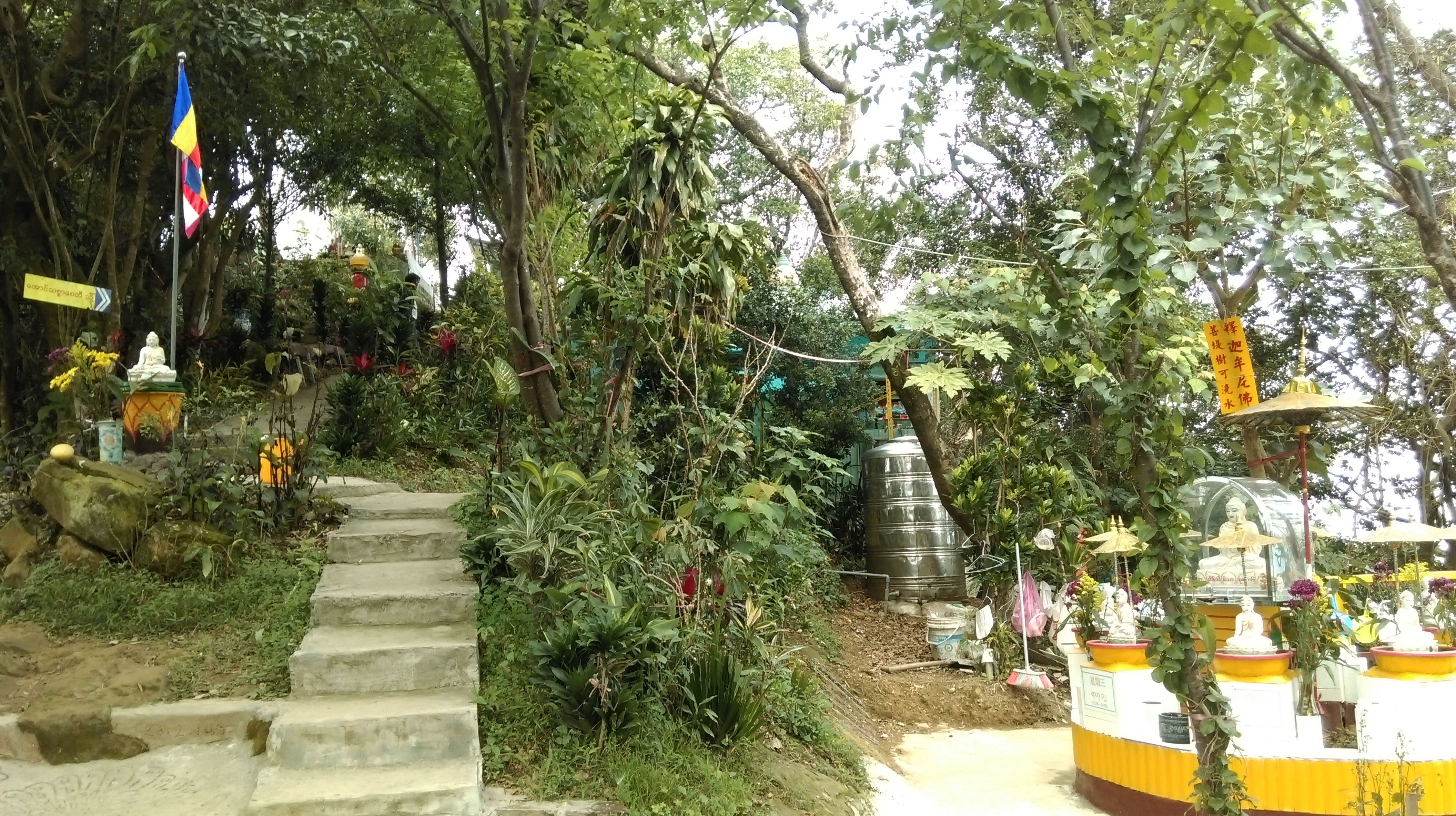
Burmese pagoda
Fork left at the steps leading up the pagoda. The trail will lead past some garden plots, becoming a paved trail and bringing you to a playground.
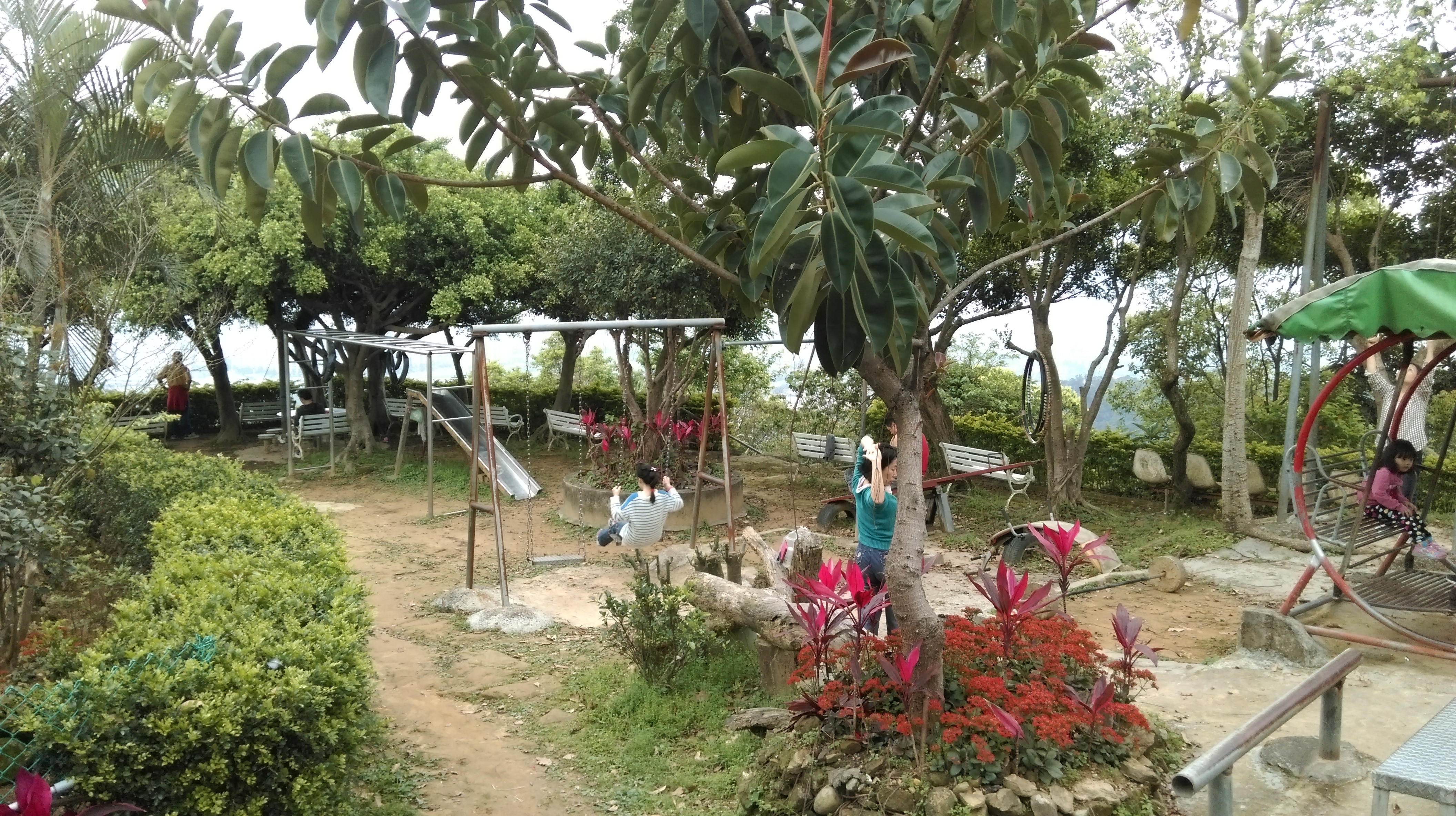
playground
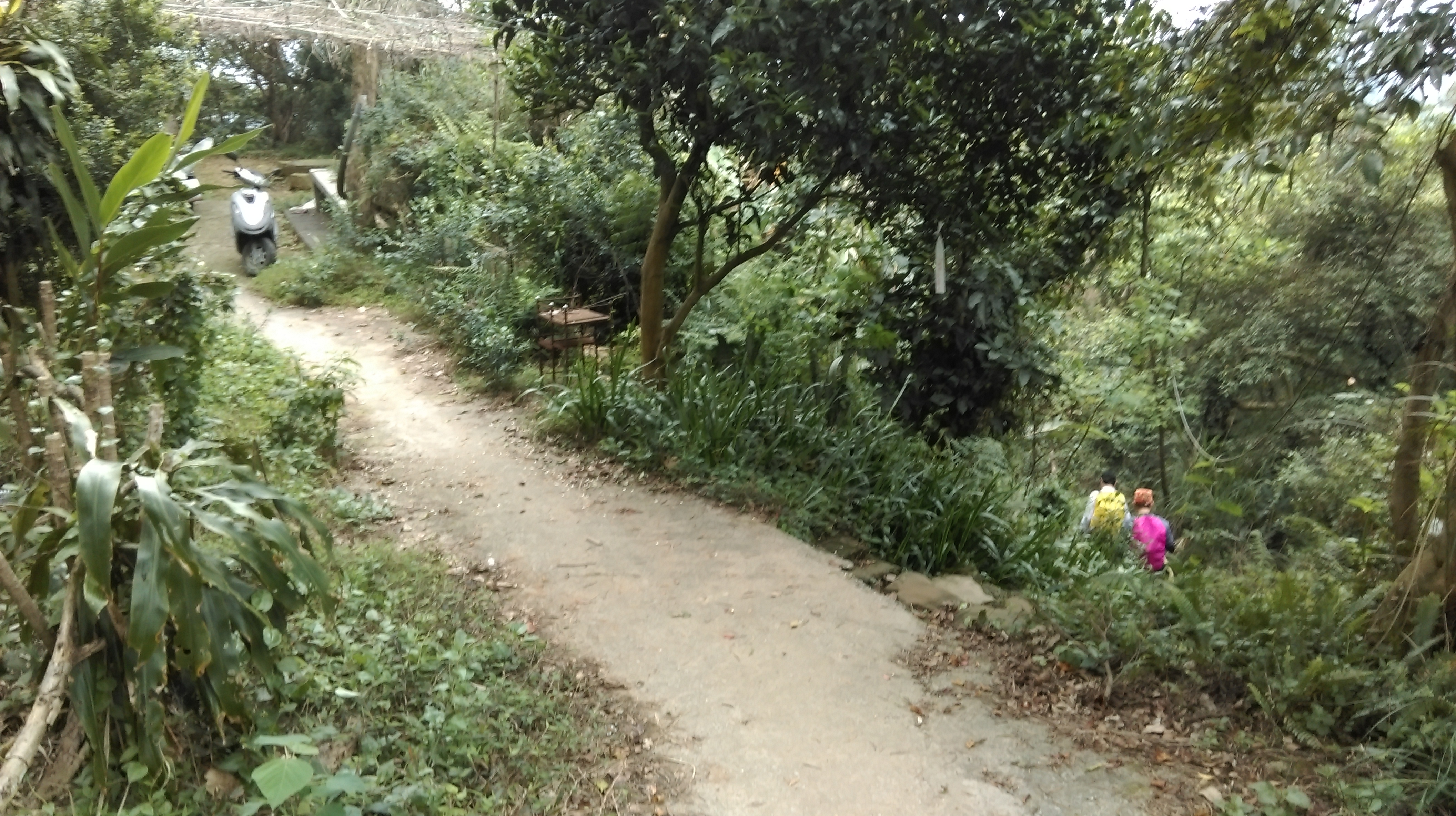
From the playground a paved trail (small road) leads past more garden plots and under a green shack. Just before the end of the road are stone steps leading down on the right hand side. More steep steps supported by plastic pipes head down, past some large boulders, and over the freeway tunneling through the mountain. The trail leads to a road after the boulders.
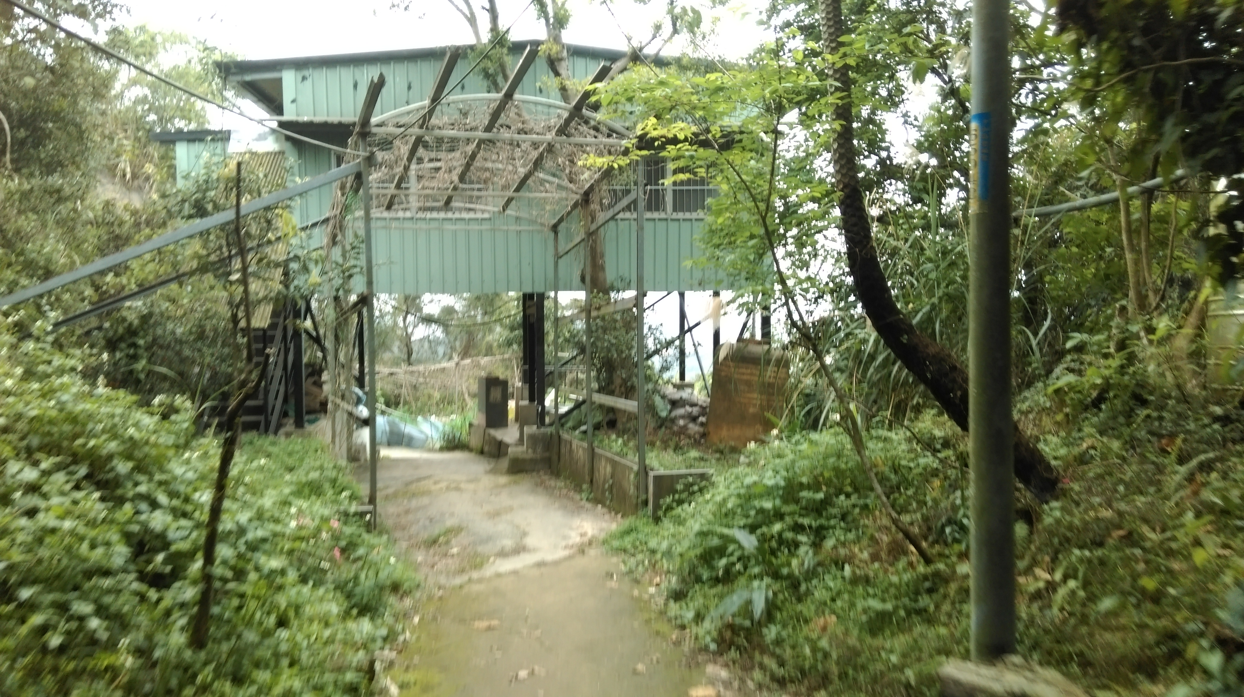
walk under the green shack
turn here after the garden plots
going past some large boulders
The trail continuing along the ridge leads to another peak which also has an electrical tower on it.
peak
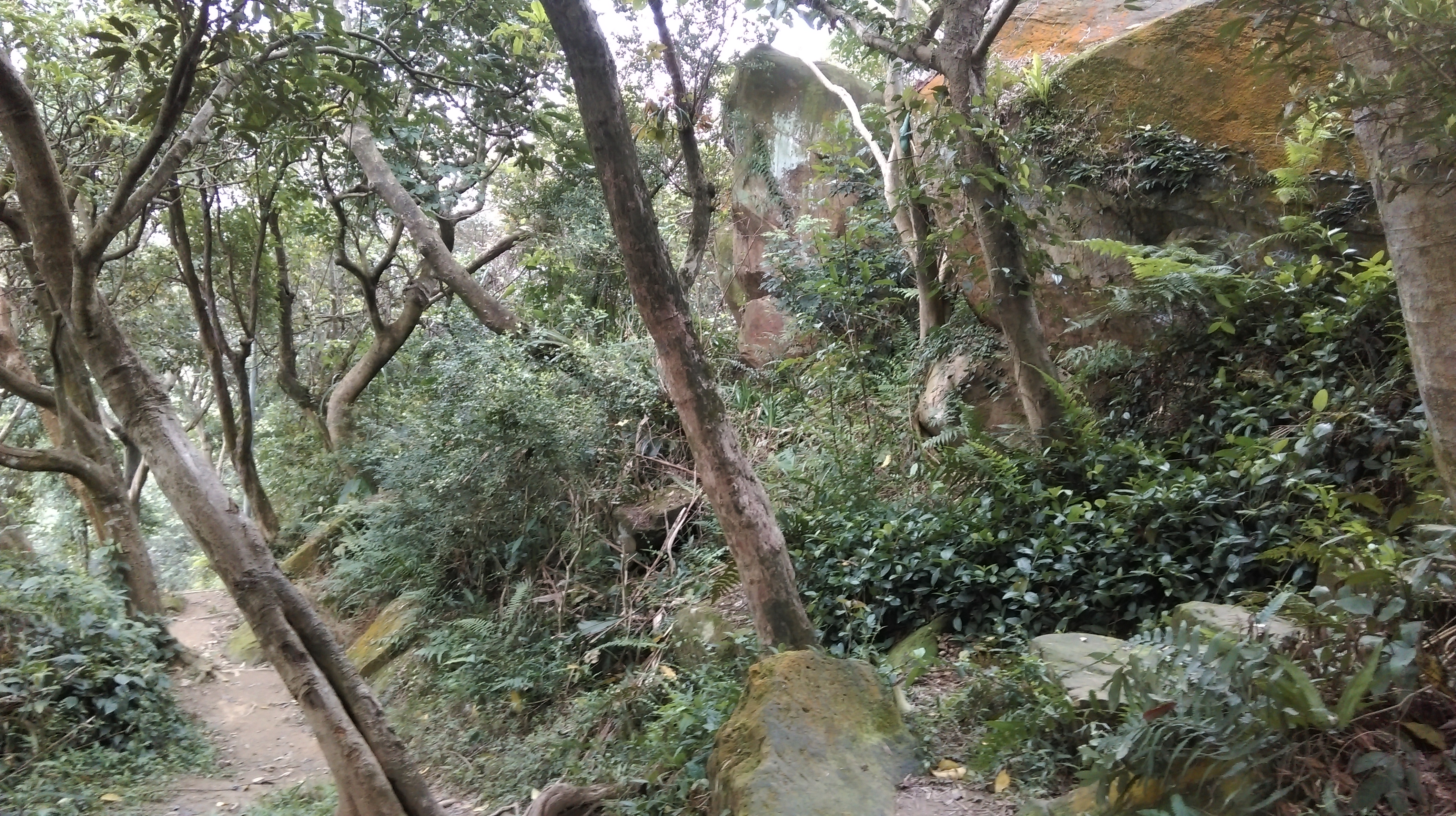
From the peak the trail goes along a rocky ridge.
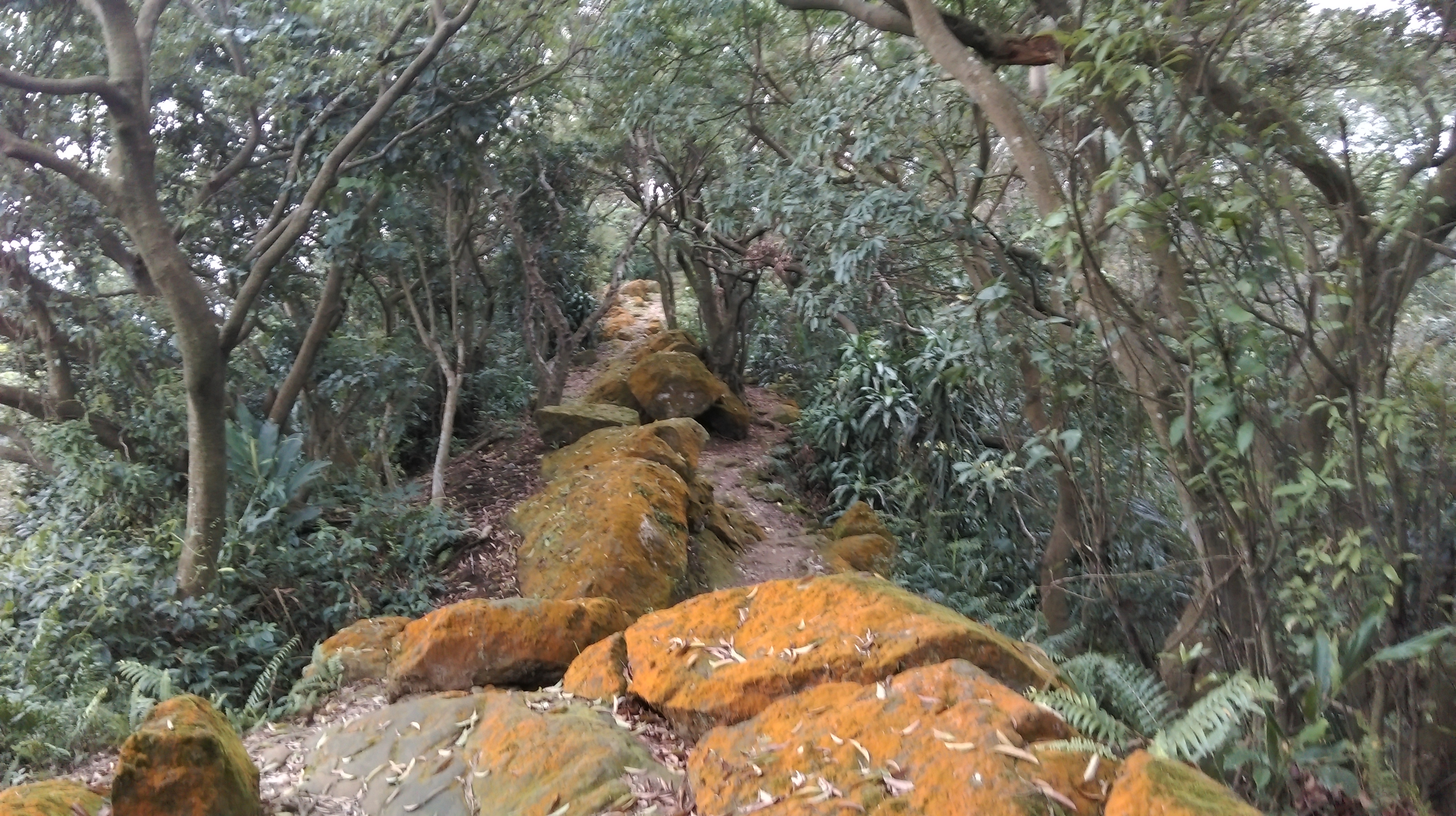
rocky trail along the ridge
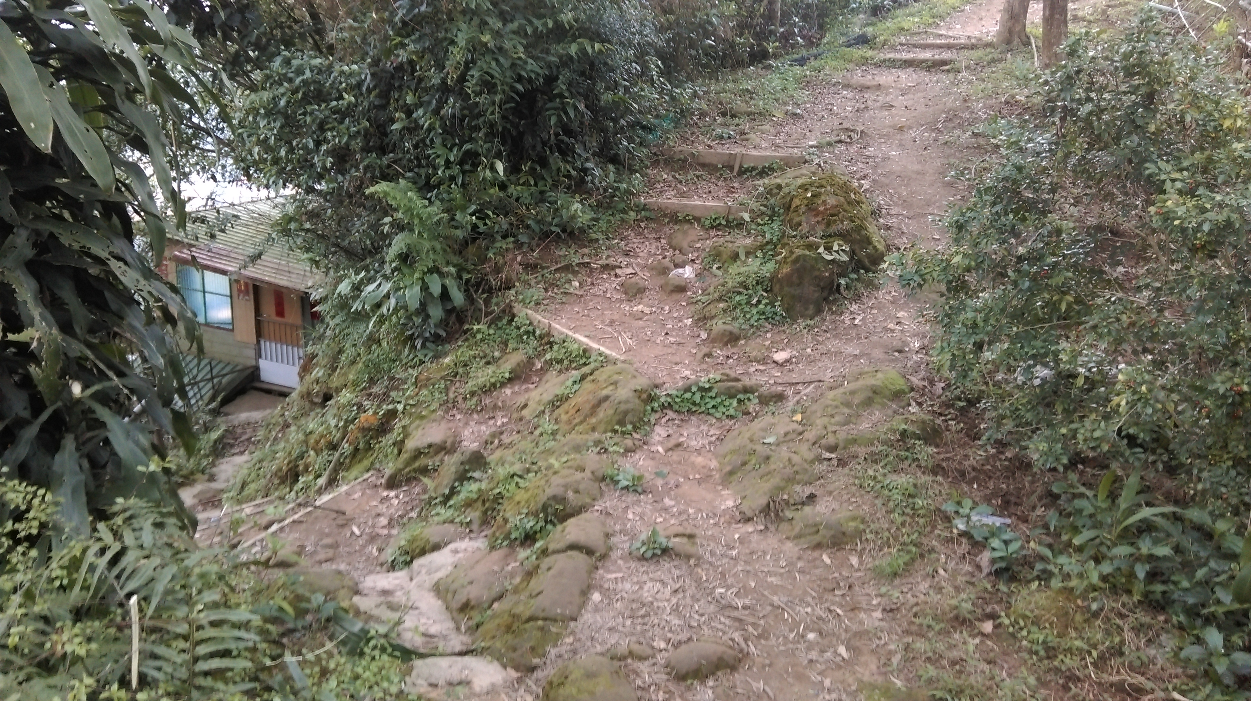
Just before a rest area and clearing the trail forks left, going steeply downwards and passing a house. After the steep steps down the trail merges with another trail at some garden plots. Keep going straight downwards and the trail becomes a paved trail at another house. From here just keep flowing the trail downwards into the neighborhood. The nearby Burma street is a great place to have food and drinks after the long hike.
fork left here
Map of the Hike
