Dan-Lan Historic Trail Pingxi Section
Shuangxi District, New Taipei City/Yilan County
Introduction
This hike takes in a section of the Dan-Lan Trail following the DanLan Stream as it nears its source, then goes to the peak of Mt. Taihe, and finally descends on the Mt. Taihe Trail to Waiao Beach on the east coast.
Access: take bus F815 leaving from Shaungxi Train Station at 9:40. The bus stop is located right outside the station. The bus is free and the ride takes about 45 minutes. Get off at the Wei Kai stop (the second last stop).
Bus F815 route information: http://e-bus.tpc.gov.tw/SingleRoute/Tw/Map?rid=8004&sec=0
Length: 12km, 4.5 hours
Trail Conditions: mainly on wide dirt trails, two bridgeless stream crossings (you’ll need to get your feet wet)
Difficulty Level: 1/5
The Hike
There is nothing at the bus stop except a farmhouse and a fork in the road. Take the left fork and keep walking along this small road all the way until the end.

take the left fork at the bus stop

Walking on the road
Keep going straight at the next farmhouse and a T-intersection.

Go straight at the house
The road crosses the stream then goes alongside it towards the end.
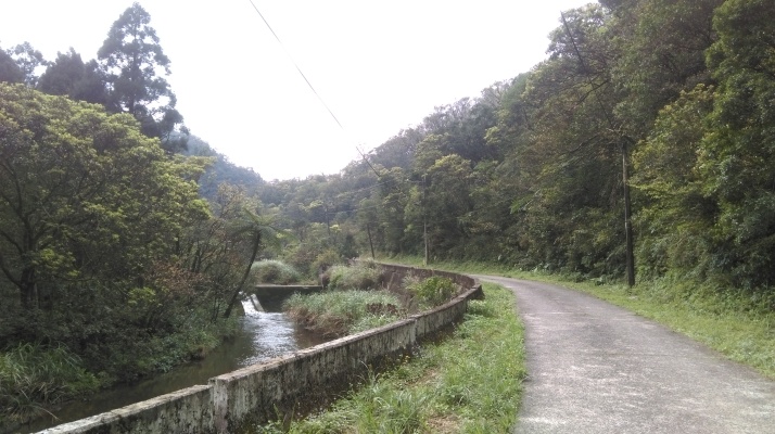
Road going alongside the stream
At the end of the road there is another farmhouse and a parking lot.
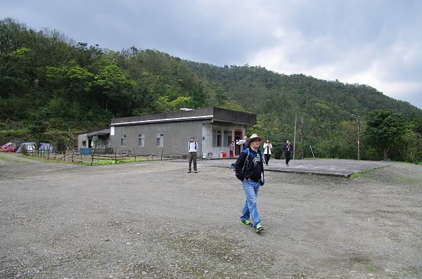
Last house at the end of the road
Walk down the grass beside the stream and then cross the bridge for the start of the trail. There is a trail map here.

Walk down the grass…
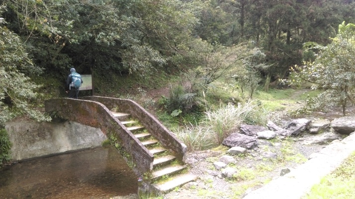
…and cross the bridge
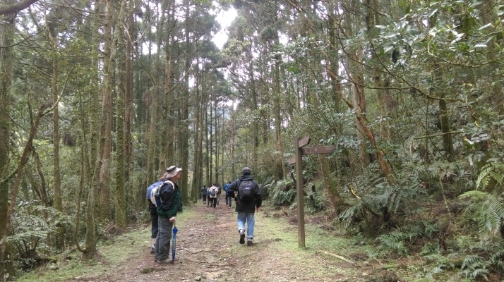
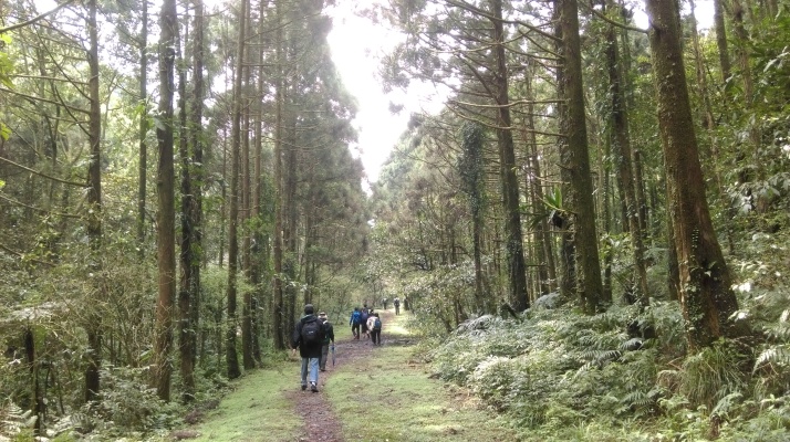
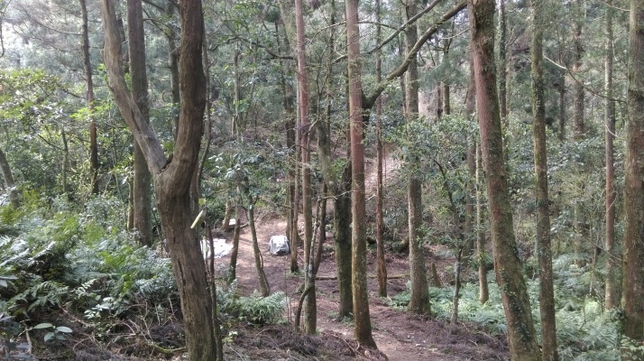
At first the wide dirt trail climbs away from the stream then descends to stream level again.
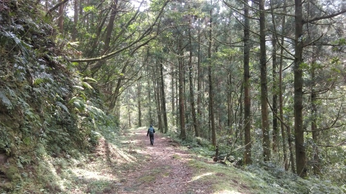
Going into the forest
When the trail reaches the stream again it makes the first bridgeless crossing. You’ll have to get your feet wet here.
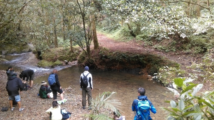
At the first stream crossing
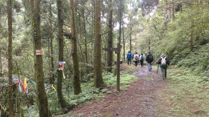
After the crossing go straight at a trail junction, signposted for Observation Deck (the observation deck is not actually a “deck” but two benches at a clearing).
Go straight on the wide trail through the forest
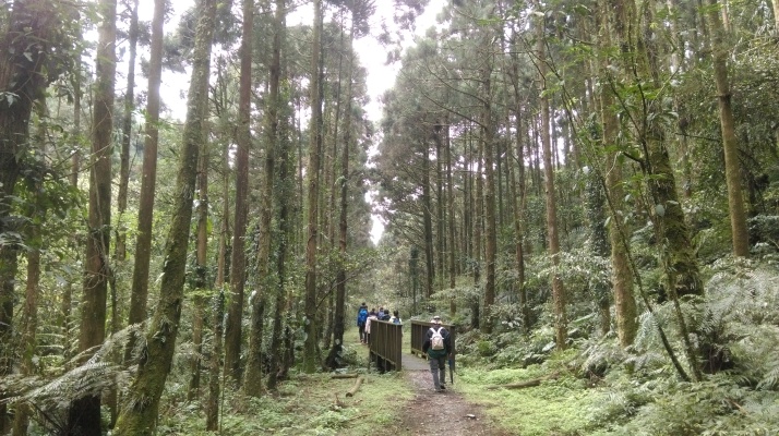
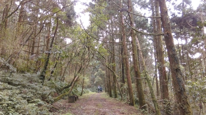
The wide trail cuts straight through the forest of Japanese cedars crossing a couple of small wooden bridges along the way. Keep going straight at another trail junction.
Keep going straight
Small wooden bridge
Cutting straight through the forest of Japanese cedars
The trail then comes to the second stream crossing, you’ll need to get your feet wet here again.

Second stream crossing
After the crossing the trail climbs away from the stream towards the top of the ridge.
Climbing away from the stream
Near the top there is a rest area (the observation deck) with a view of Turtle Island.
Rest area and Turtle Island viewpoint
Keep going straight at a trail junction at the rest area, signposted for Shikongzhi Historic Trail.

Go straight after the rest area
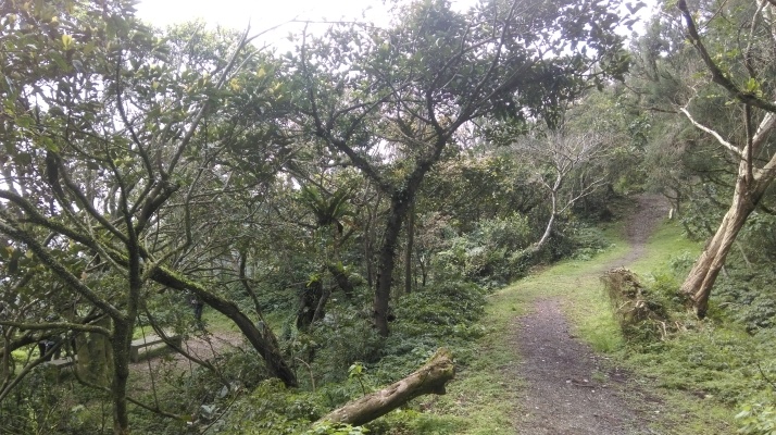
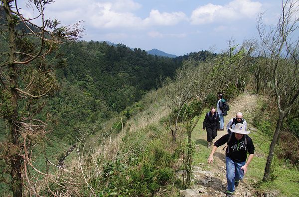
After the rest area the trail narrows as it goes along the ridge the forms the boundary between New Taipei City and Yilan.
Narrow section of trail
This narrow trail then merges with a wide trail that leads up to the peak of Mt. Taihe. Keep going straight at the merger.

Go straight merging onto the wide trail
Just past the merger the trail passes a shrine.

Passing a shrine
Keep going straight at a trail junction after the shrine.
Go straight at a trail junction at the shrine
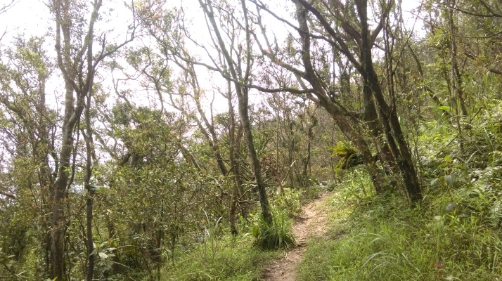
After the junction the trail begins its steep climb to the peak. The slopes of the mountain are covered only by shrubs as it is very windy up here.
Climbing Mt. Taihe

Climbing Mt. Taihe
This wide track ends at the peak. On the peak of Mt. Taihe there is a shrine and an unobstructed 360 degree view, including a great view of the east coast.
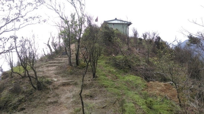
Shrine on the peak of Mt. Taihe

View of the east coast from the peak
From the peak return back down to the last shrine and trail junction. From there just keep following the wide trail as it makes its long winding descent.

Making the long descent
The trail ends at a road and an old mud house. Cross the bridge over the stream and keep going straight walking on the road. The road climbs up from the bridge and over another small ridge.

House at the end of the trail, cross the bridge then walk on the road climbing up away from the stream
Turn off the road when you come to a shrine on the left hand side. Go down to the shrine and keep going straight. Go straight at a five way trail junction after the shrine. The junction is not signposted.

Turn off the road here and go down to the shrine, go straight at a trail junction after the shrine
From the junction the trail towards Waiao makes a rocky descent and soon joins a small stream. Then in a few minutes the trail passes a rest area.

Trail passing a rest area and going along a small stream
The trail continues along a ledge above the stream. Keep going straight when you come to a small stone bridge crossing the stream.

Going along a ledge next to the stream
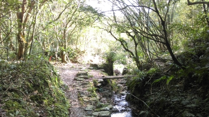
Go straight at the small bridge
Next, the trail goes along rocks beside the stream, then crosses the stream.

Rocky trail along the stream

Stream crossing
Just after the crossing the trail passes a shrine with another tiny stream crossing in front of it.

Shrine and tiny stream crossing
Soon afterwards to trail reaches the hillside and the beach ahead comes into view.
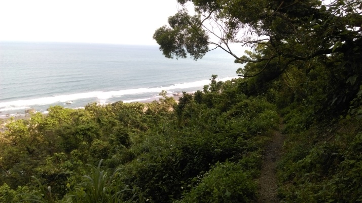
Descending to the beach
Partway down turn left at a trail junction marked only by hiking flags.

Turn left here
The trail finishes the descent past some plots and ends right on the platform of Waiao Train Station.
Map of the Hike
