Yunei Stream Ancient Tree Grove to Full Moon Forest Park
Sanxia District, New Taipei City
Introduction: This hike starts near XiaoWulai Waterfall, climbs to the Yunei Stream Ancient Tree Grove (宇內神木群), where there are giant 2000 year old trees and is the most accessible place to still see ancient trees from Taipei, then makes the long hike to the Full Moon Forest Park (ManYueYuan 月圓國家森林遊樂區).
Access: you need to take a taxi to reach the trailhead. First take a bus to Sanxia, bus 910 goes there from Xinpu MRT Station. Get off at the first stop in Sanxia then catch a taxi from in front of the hospital. Our taxi fare was $1000.
Return bus (no. 807) leaves from the Full Moon Forest Park at 6:10.
Trail Conditions: entirely on narrow dirt trails with some steep sections in the tree grove with short ropes and bridgeless stream crossings. From the tree grove to Full Moon Park on narrow or wide dirt trails with long flat sections, some steep drop-offs, some wooden steps. Wide dirt, stone, and paved trails in the Full Moon Park with some stone steps.
Difficulty Level: 3/5
Length: 14km, 6 hours, 950m total ascent, 1500m total descent, max altitude 1350m
The Hike
Fork right at the junction just past the parking lot onto the closed off road.
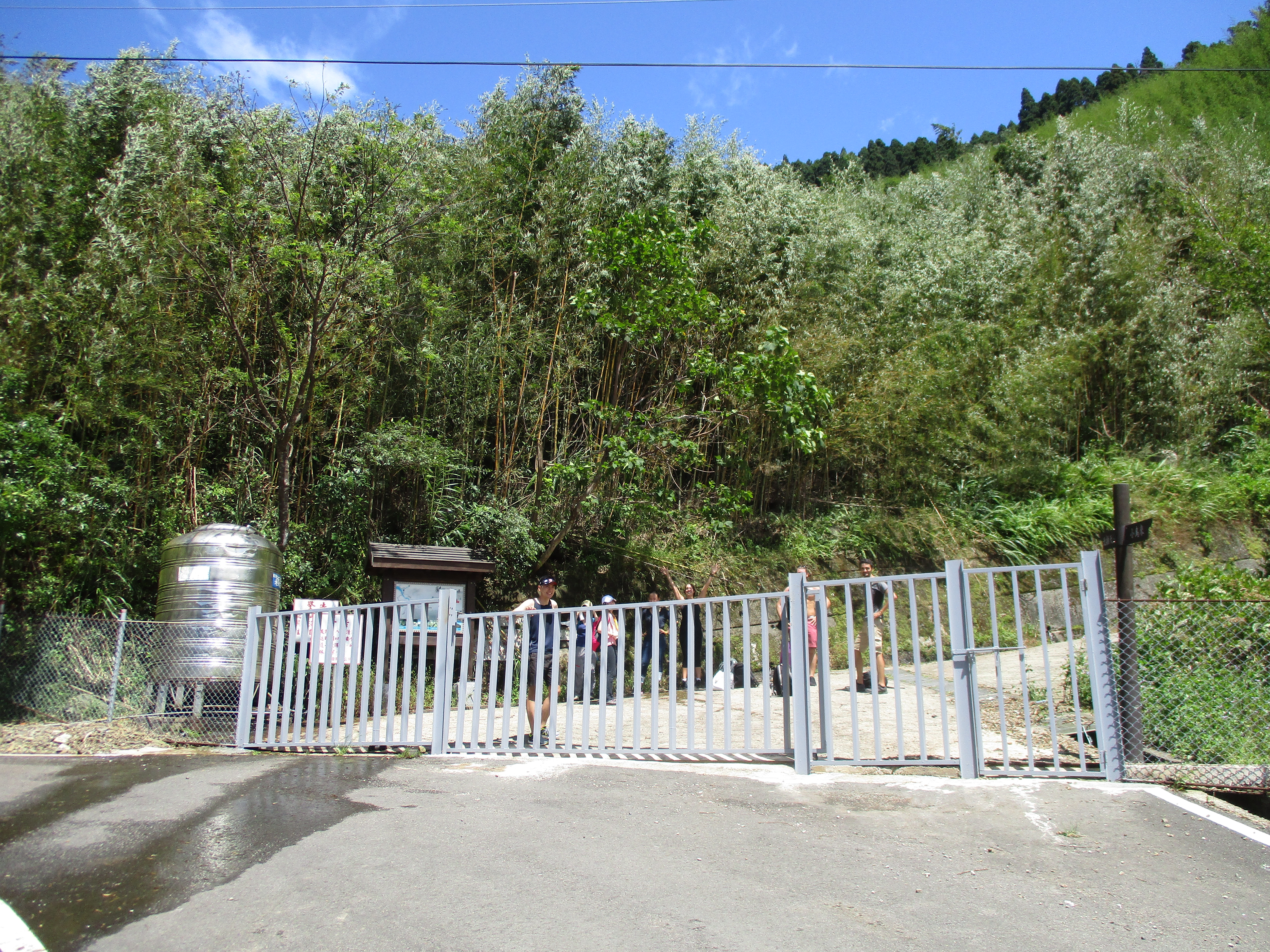
go through the gate
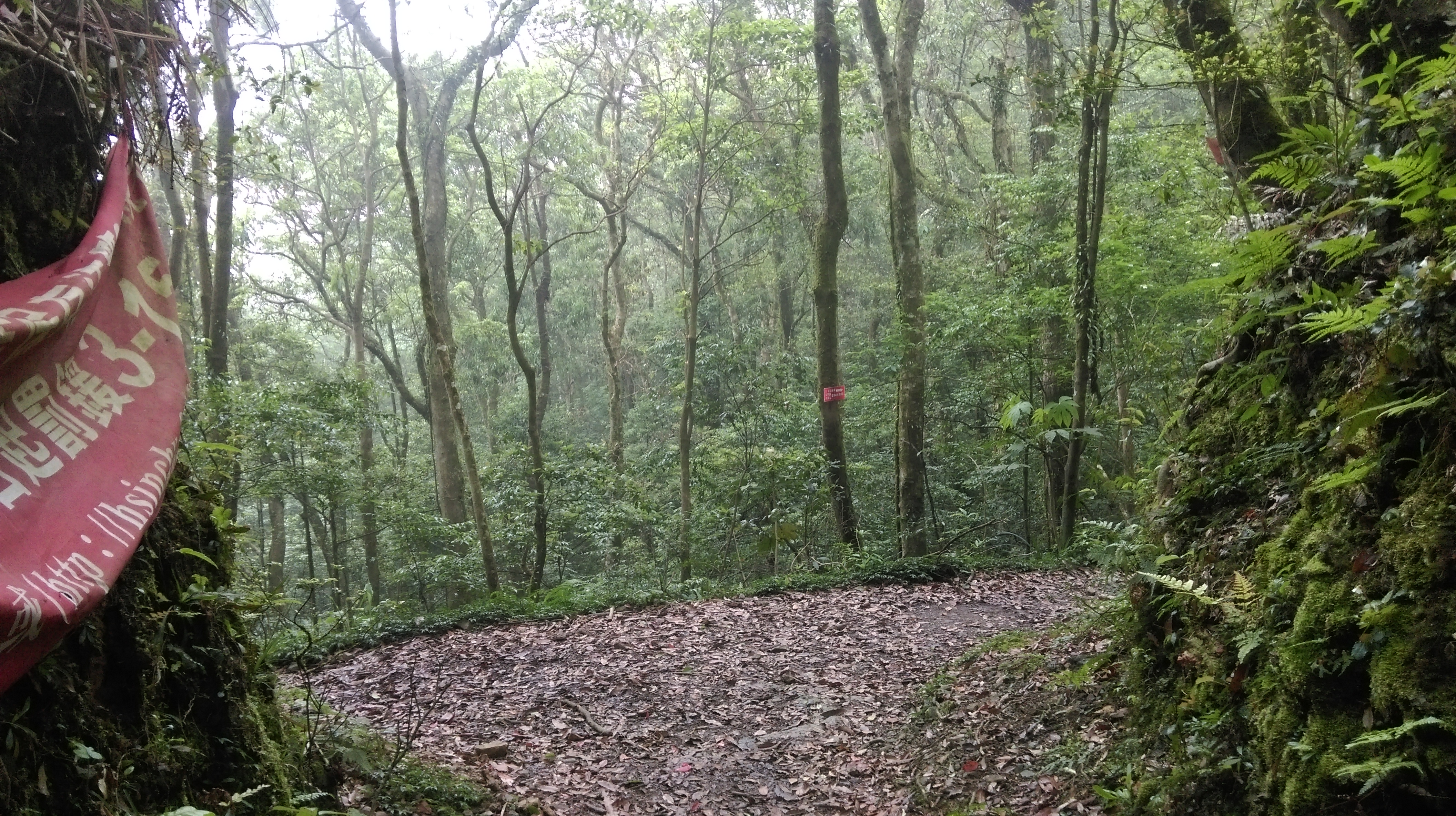
The trailhead is a short walk uphill on the road and is clearly marked. It takes about 90 minutes to hike from the trailhead to the No. 1 tree.
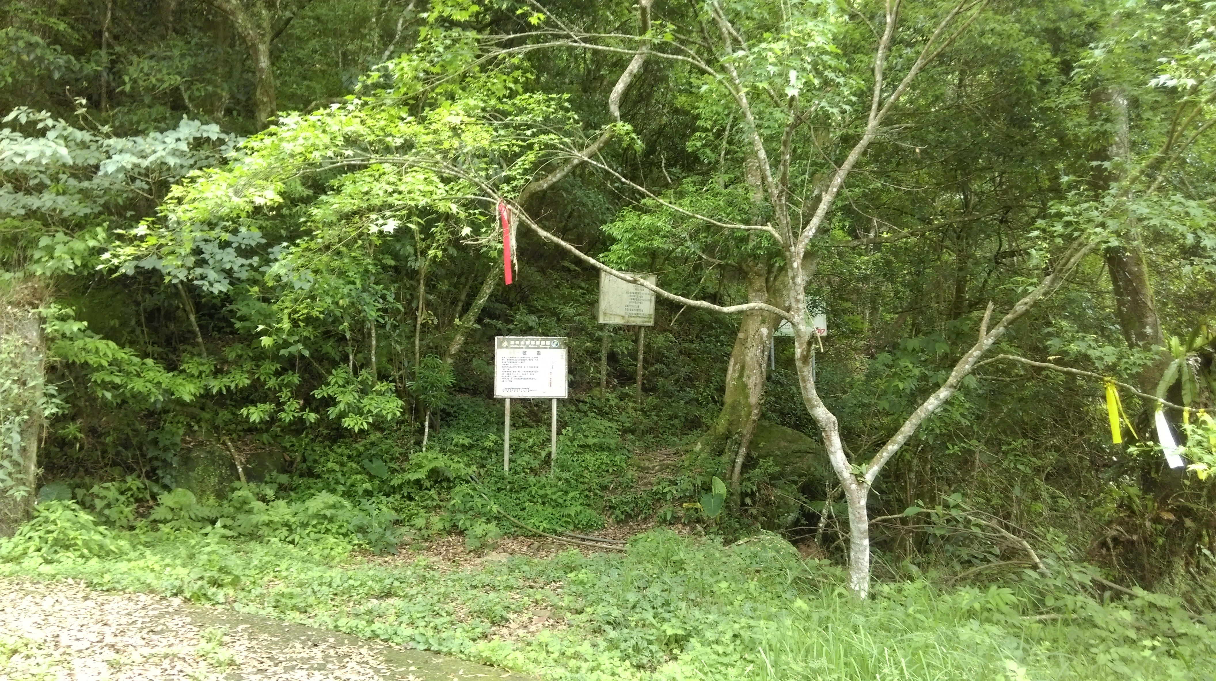
start of the trail to the ancient tree grove
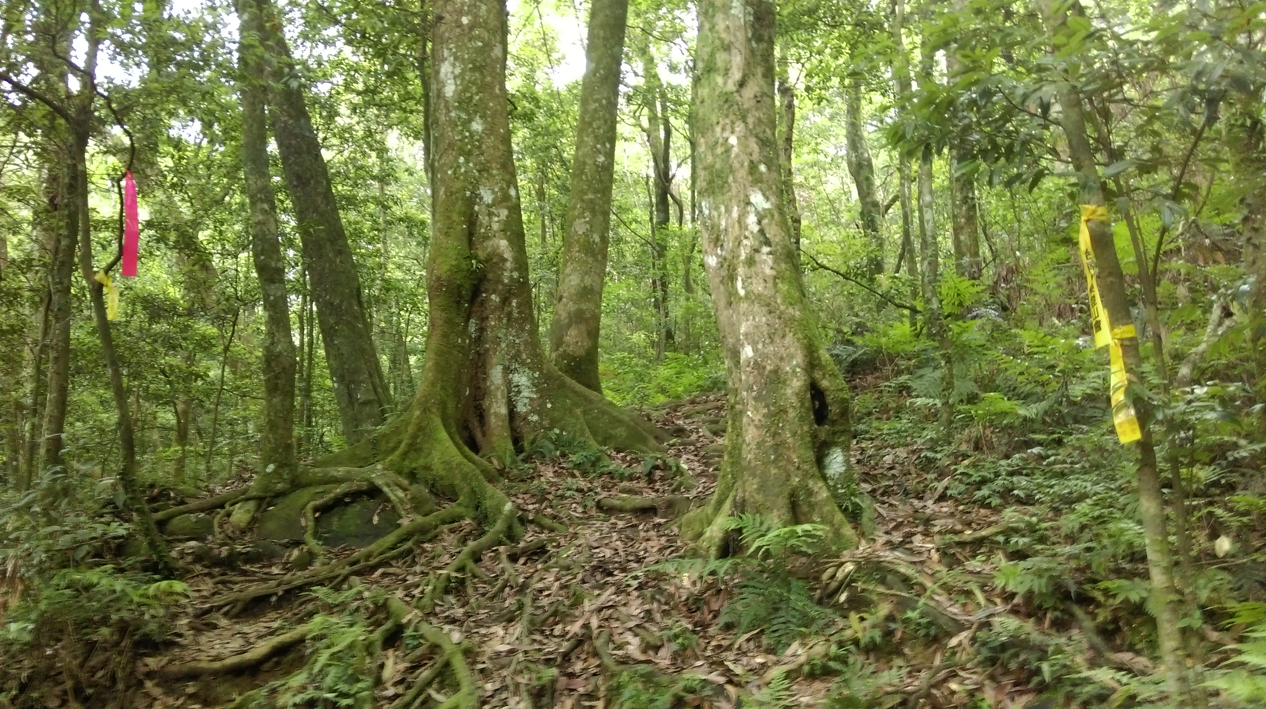
From the trailhead the trail begins to climb moderately sleeply. Pay attention to and follow the hiking flags attached to trees. The trail turns right and crosses and small stream then climbs up the rocks above the stream.
trail climbing away from the road

rocky stream crossing
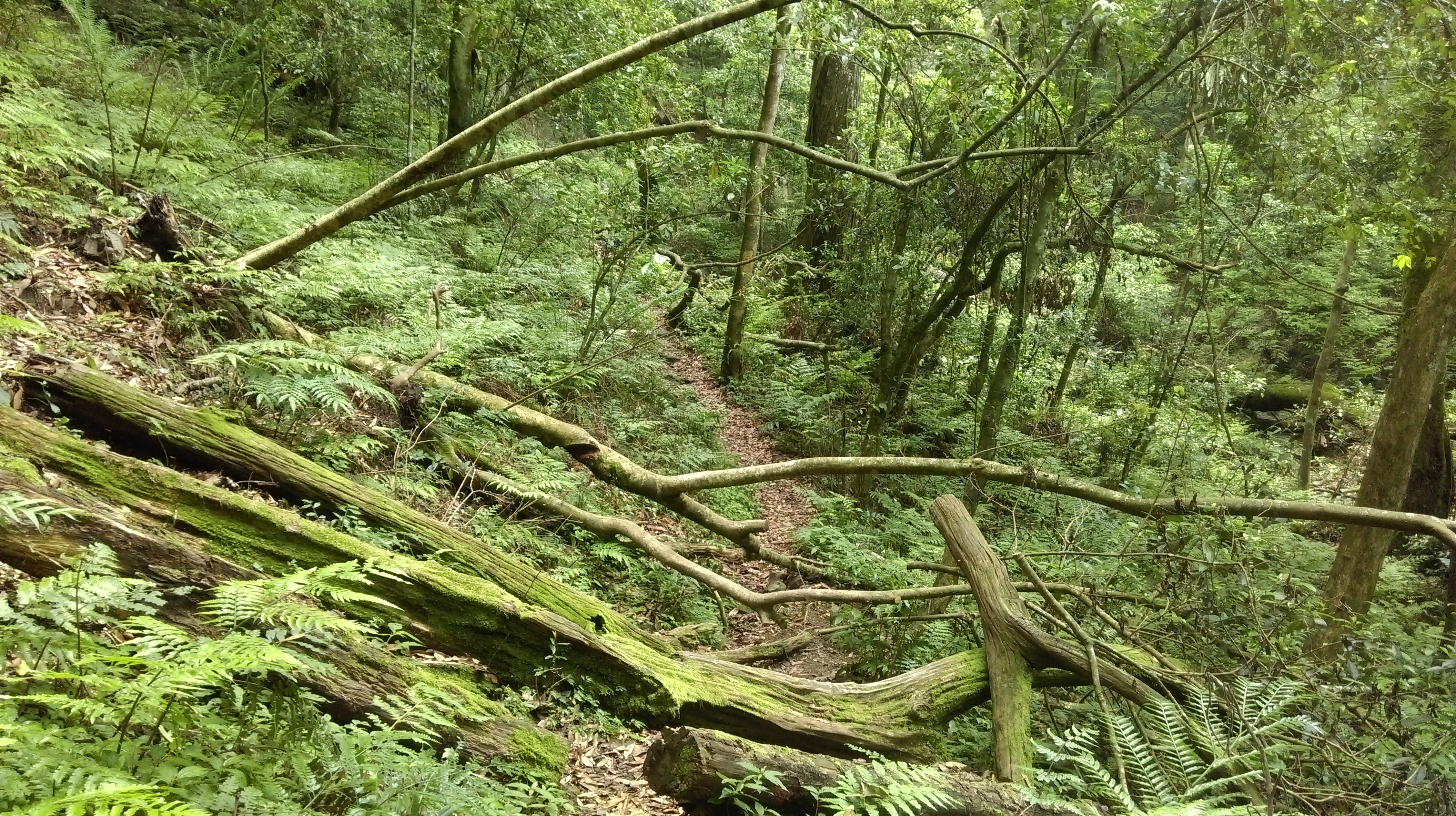
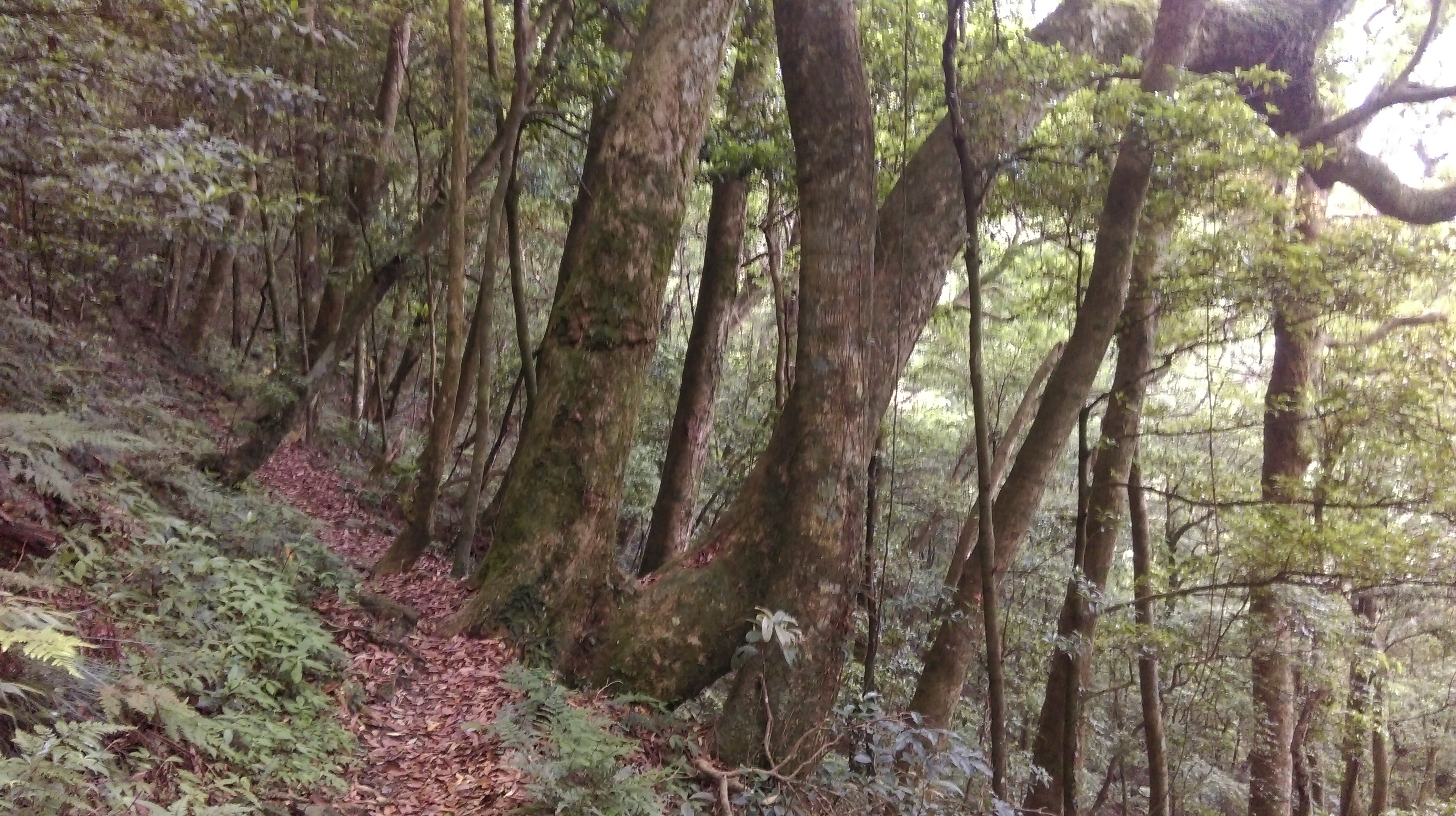
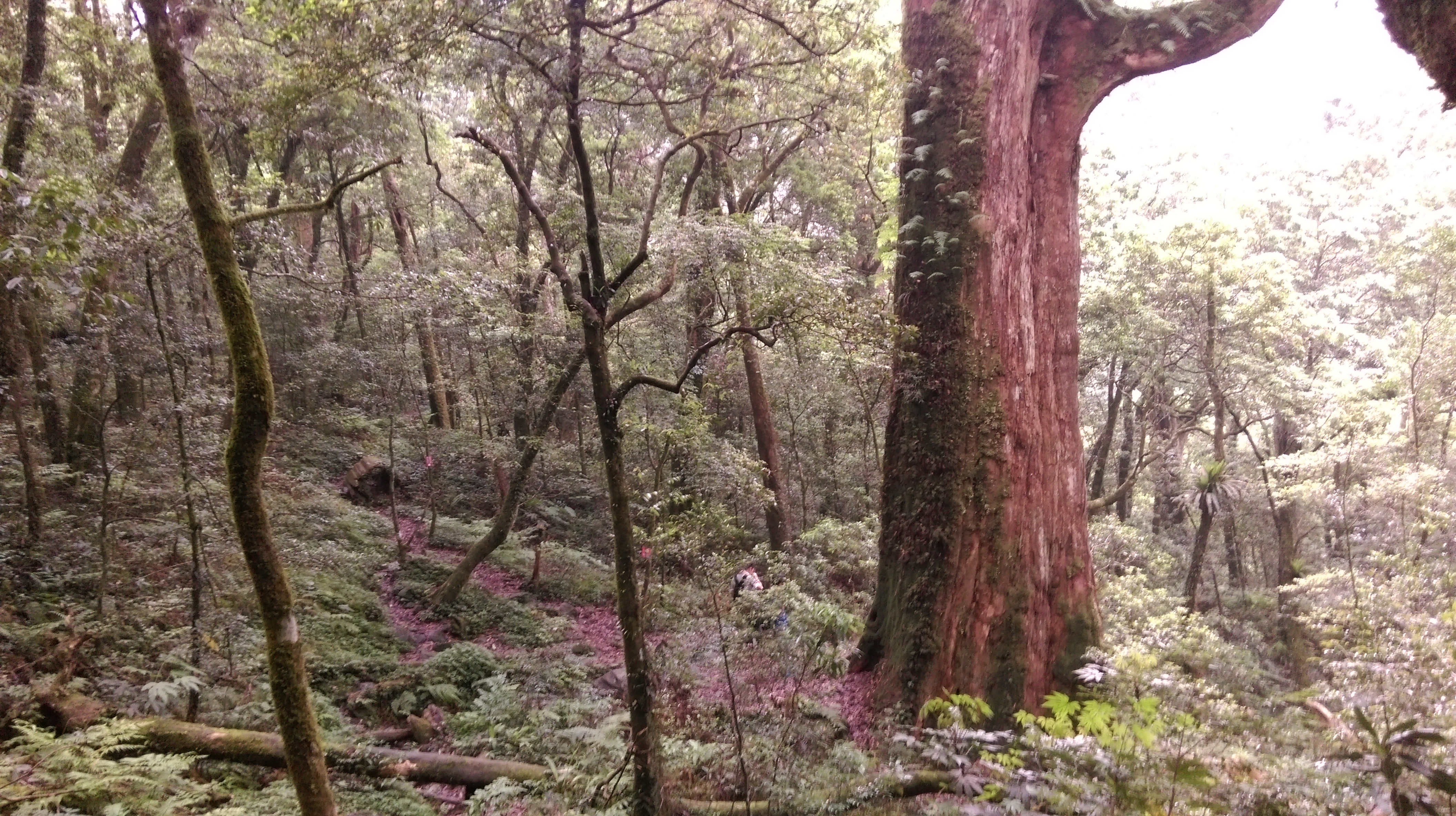
This is followed by more moderate climbing through trees that are getting larger the further you go.
climbing past bigger trees
Turn right at a trail junction with wooden signs in Chinese only.
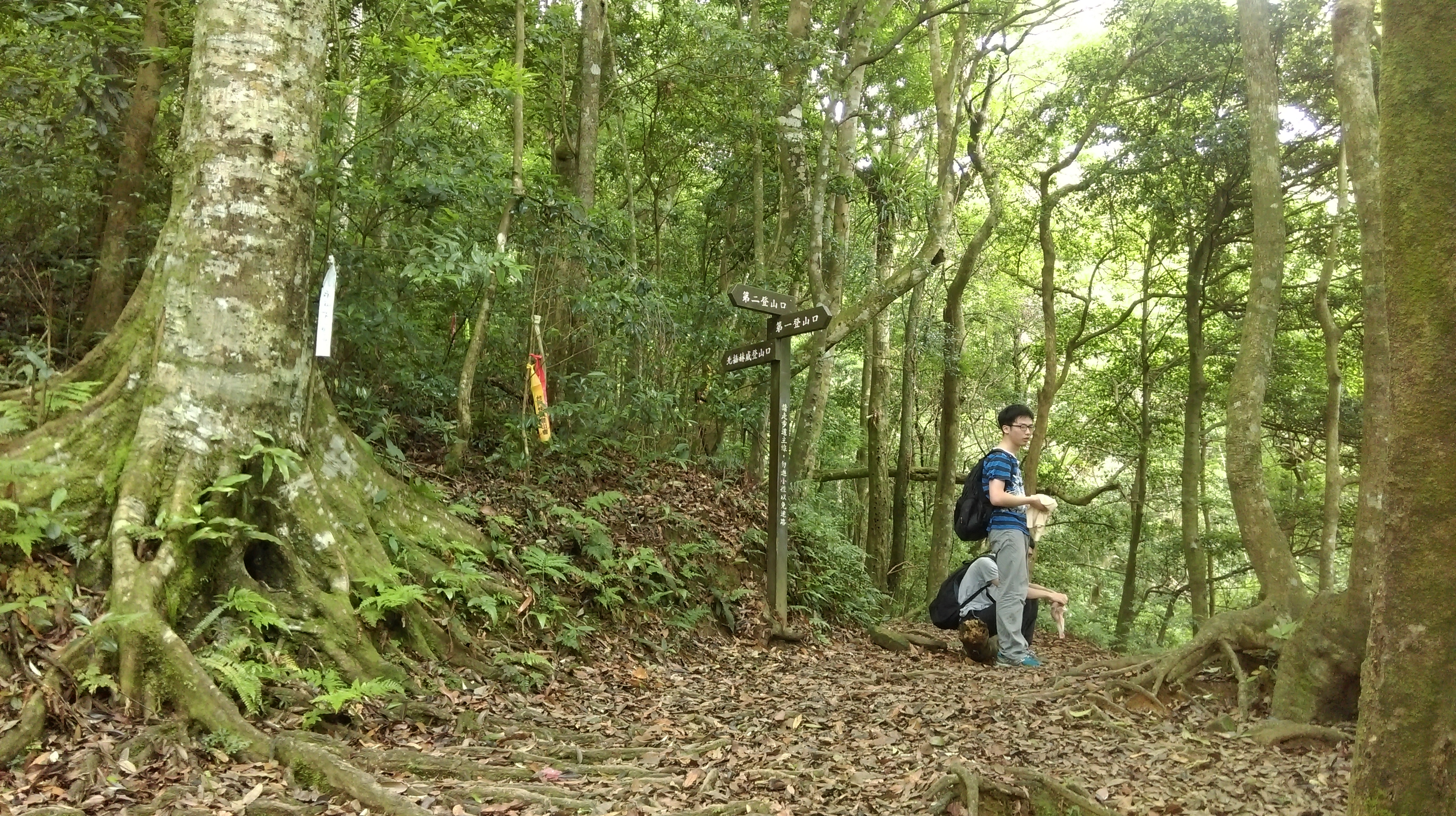
trail junction, turn right here
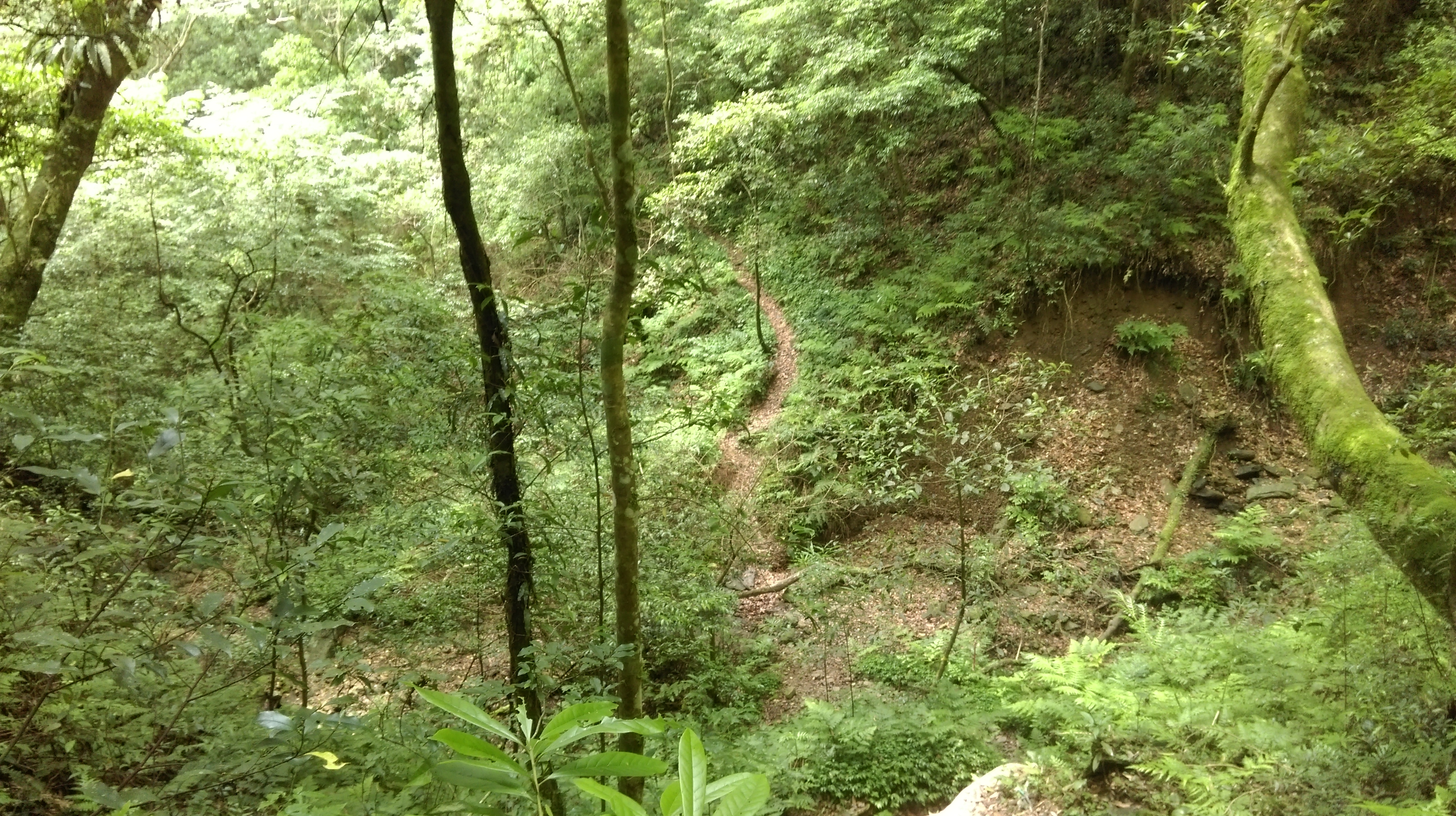
After the junction the trail becomes flatter, going along the hillside and sometimes dipping down to cross usually dry creeks.
crossing a dry creek
The trail goes through a wide flat section getting closer to the tree grove and crosses another usually dry creek.
going along the hillside
flat section through the trees
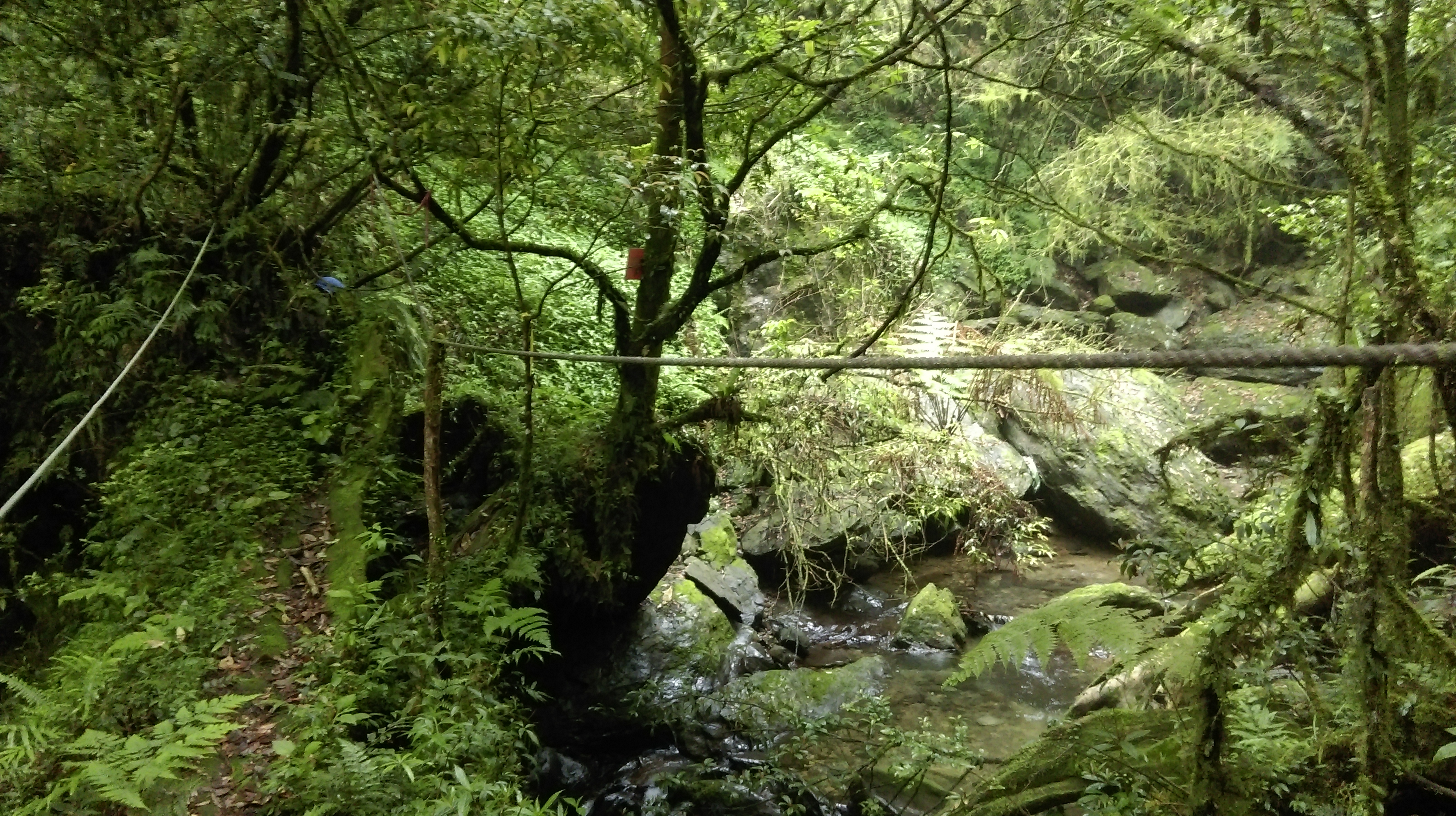
This is followed by the first bridgeless steam crossing. Use the rope here to help you cross on the slippery rocks.
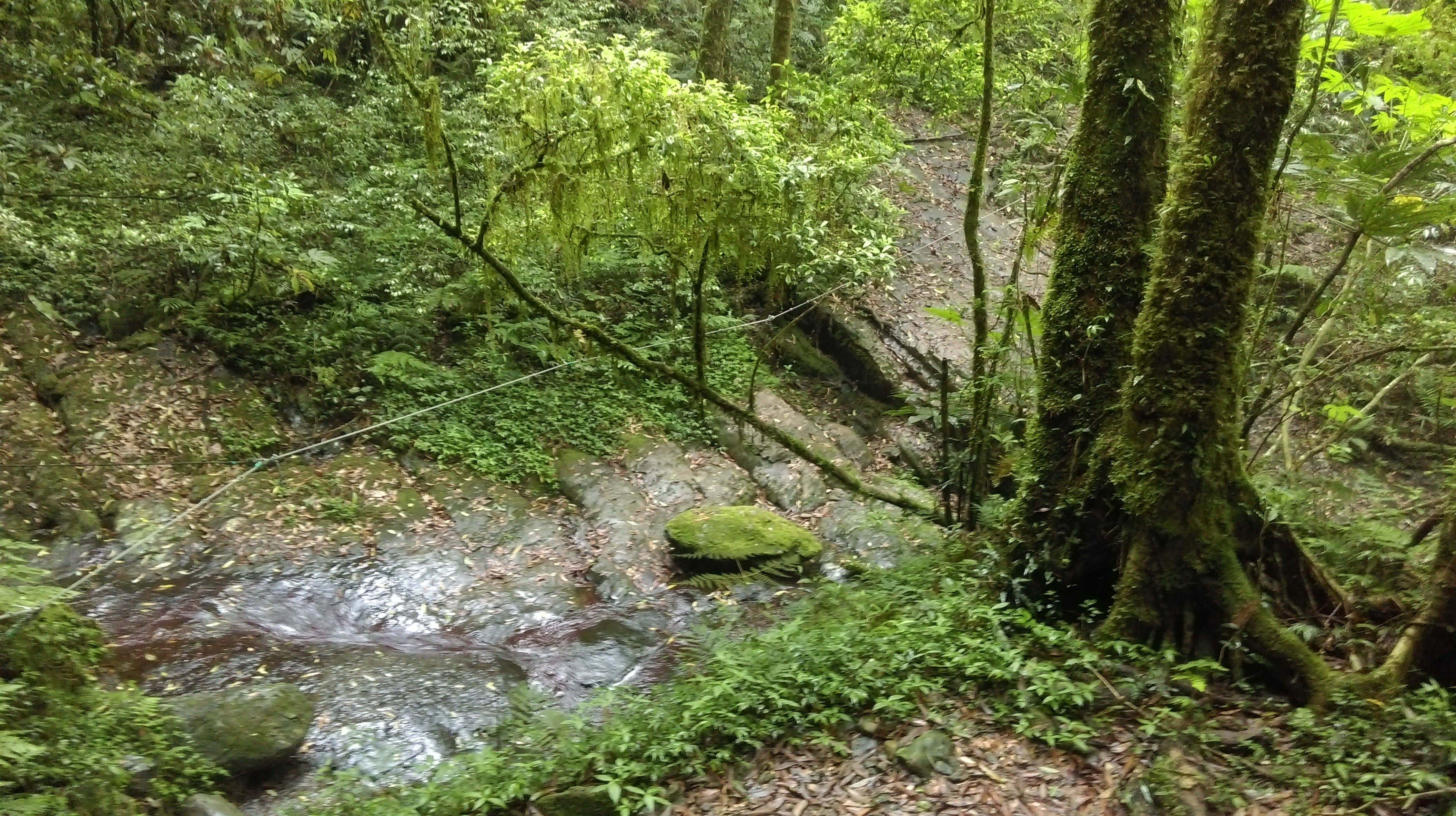
stream crossing
After the crossing the trail passes the first of the ancient trees. There are also several other ancient trees around here down below along the stream.
passing the first of the ancient trees
Then the trail climbs up past another ancient tree using its roots and steps.
climbing past an ancient tree
Fork right at a junction just after this tree, signposted in Chinese only for the Huwei Tree.

turn right here behind the tree
Five minutes downhill from the this junction the trail passes tree No. 1. with tree No. 2 just above it.
descending to the No. 1 tree
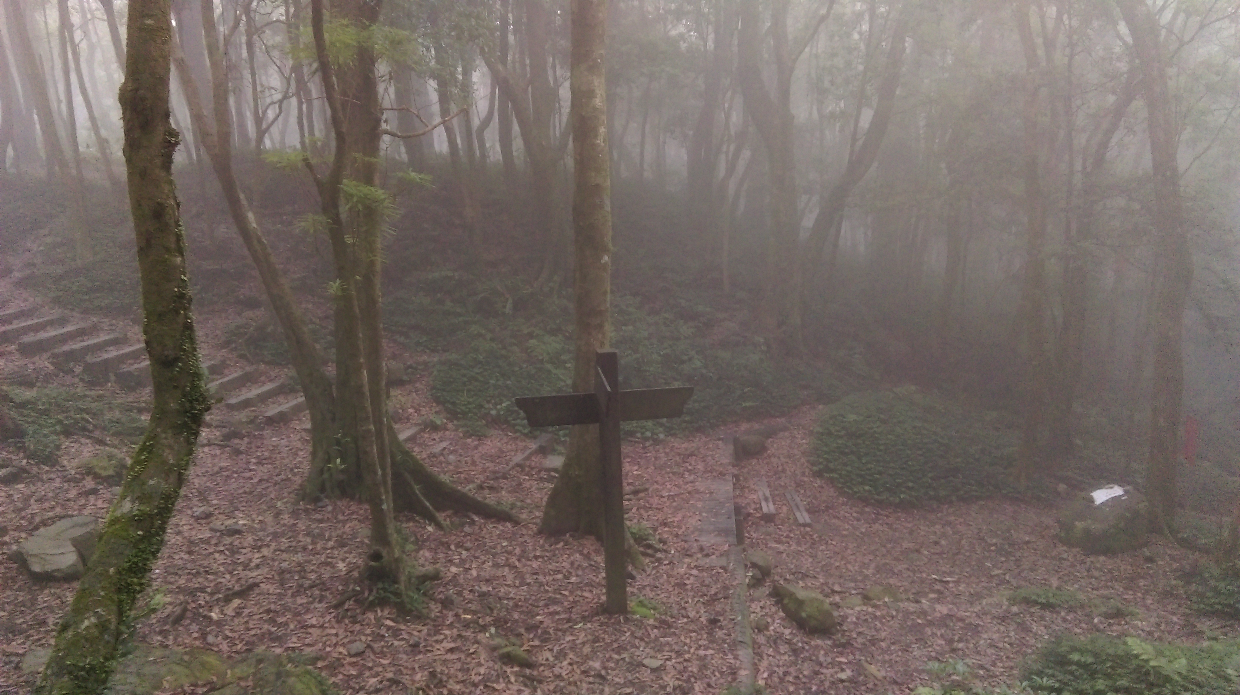
Turn right at a trail junction at tree No.1, signposted in Chinese only for the Devil’s Tree.
No. 1 tree, turn right to reach the Devil’s Tree, then return
This trail descending back down the stream is narrower, steeper, and rougher. The trail passes the No. 3 tree and several unnumbered trees on the way down. Then it crosses the stream over a fallen ancient tree and climbs steeply up the other side, soon reaching the Devil’s Tree and several other unnumbered trees. From the Devil’s Tree return back to the No. 1 tree and turn right.
log bridge crossing the stream
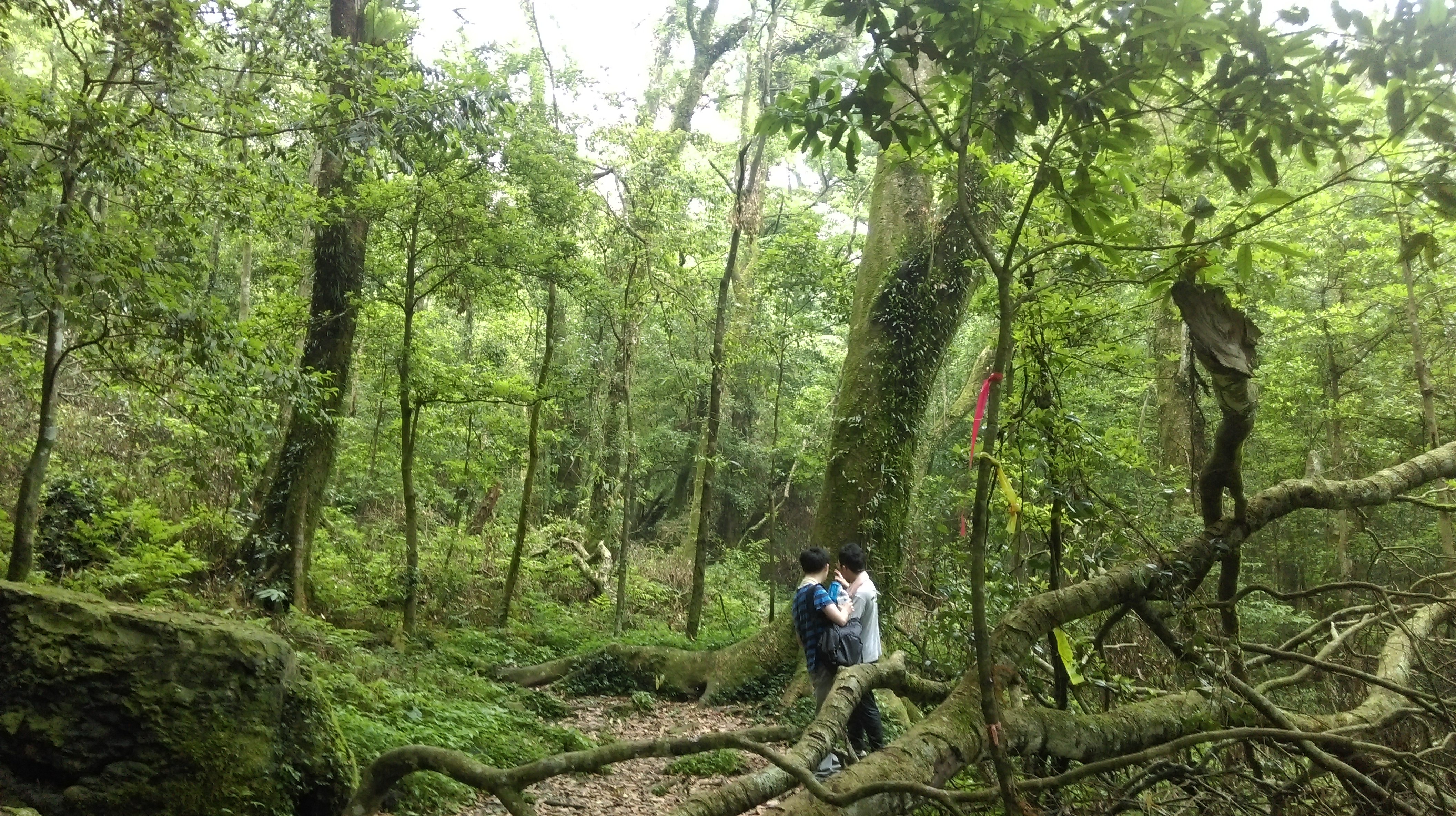
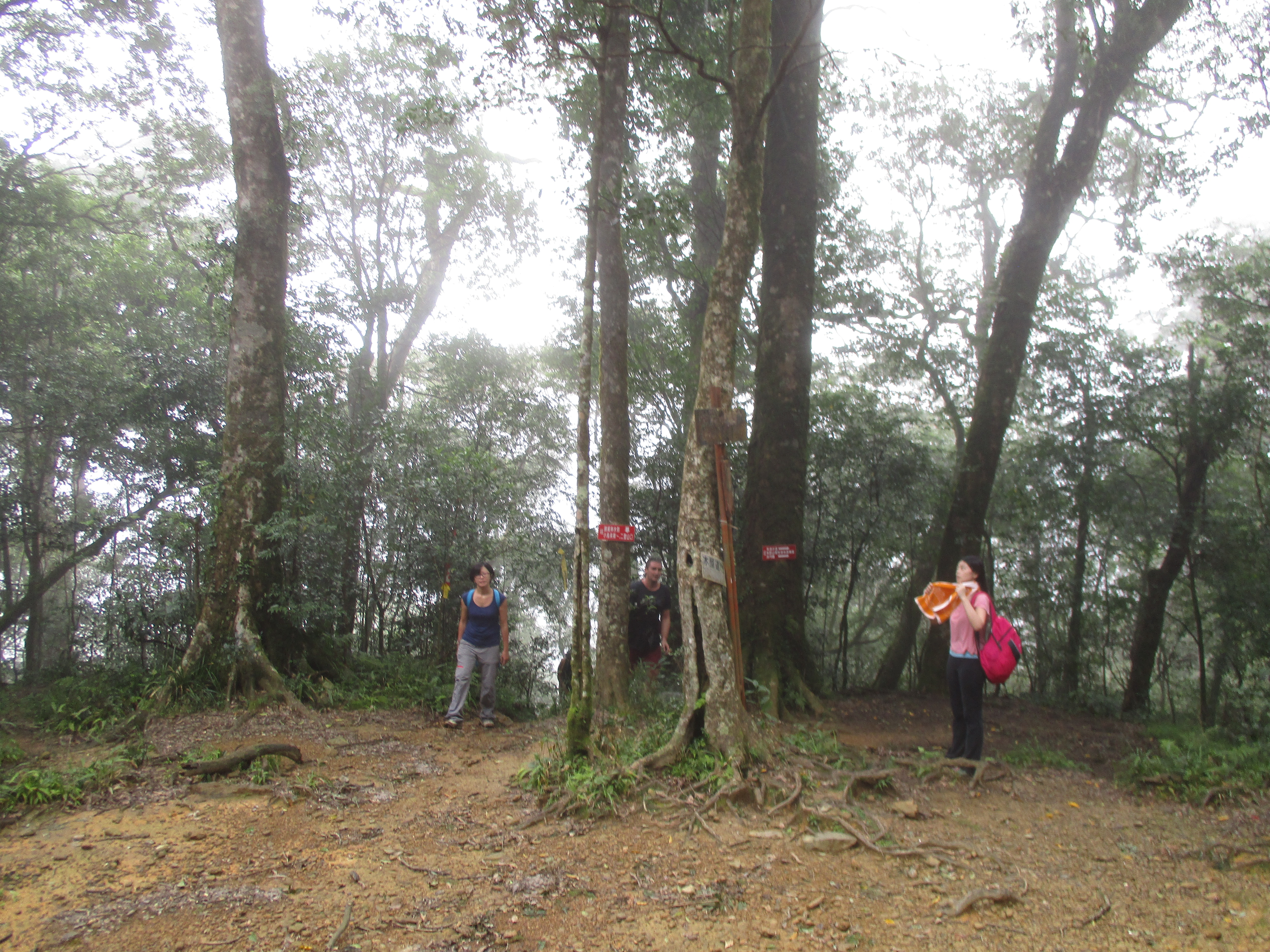
The trail passes several more ancient trees then comes to the Huwei Tree, the largest of the ancient trees. Turn left at the Huwei Tree.
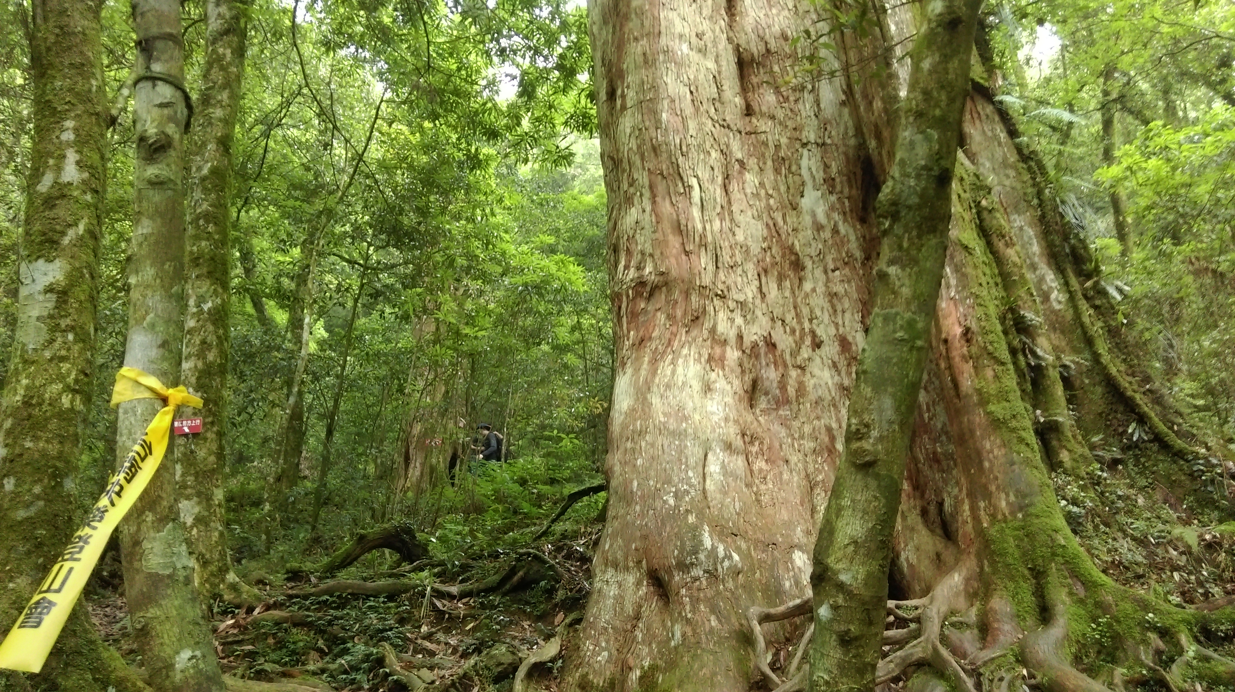
passing the Huwei Tree
turn left at the Huwei Tree
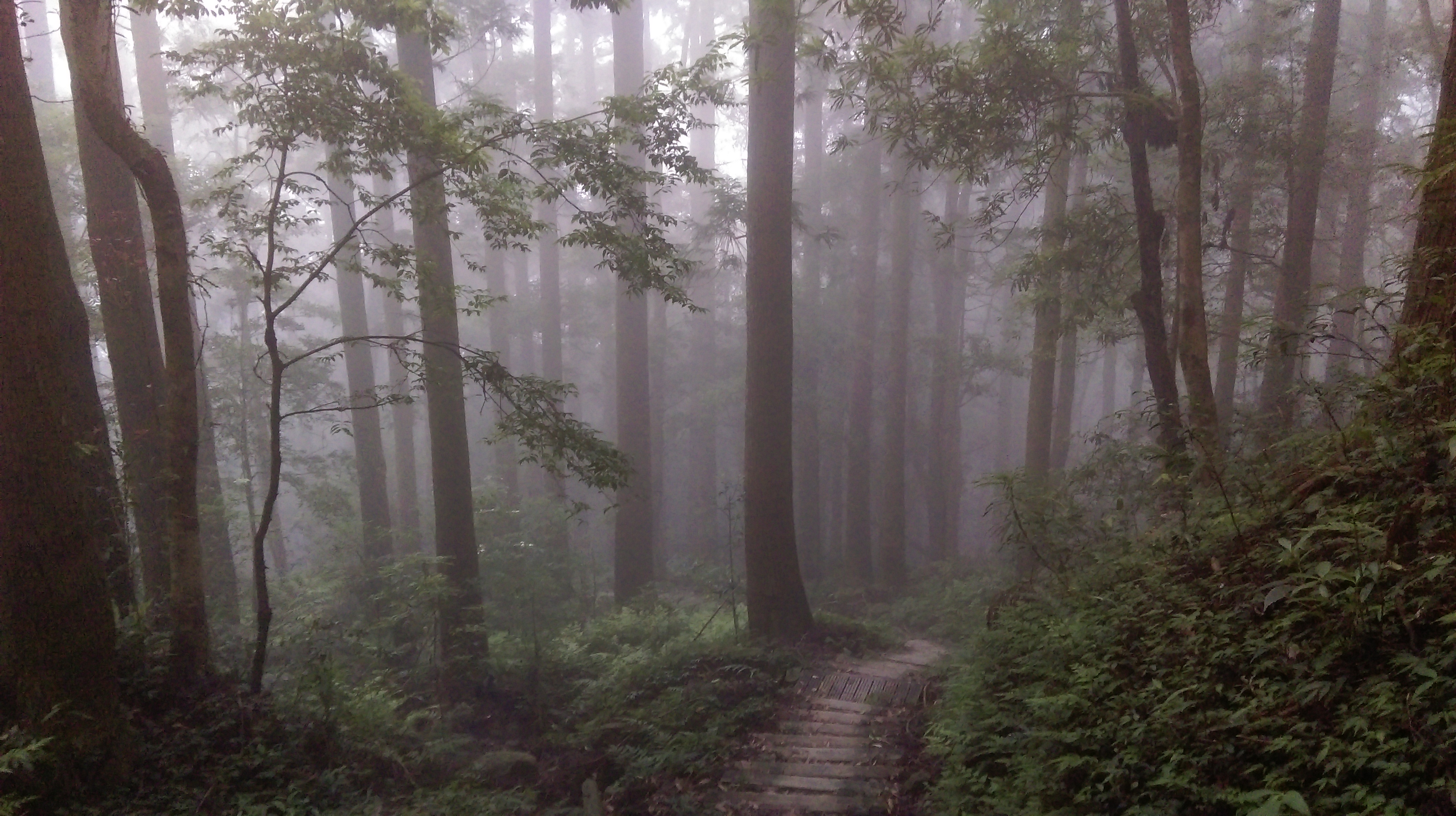
From the tree, the trail goes along steep hillside high above the stream with safety ropes along the side.
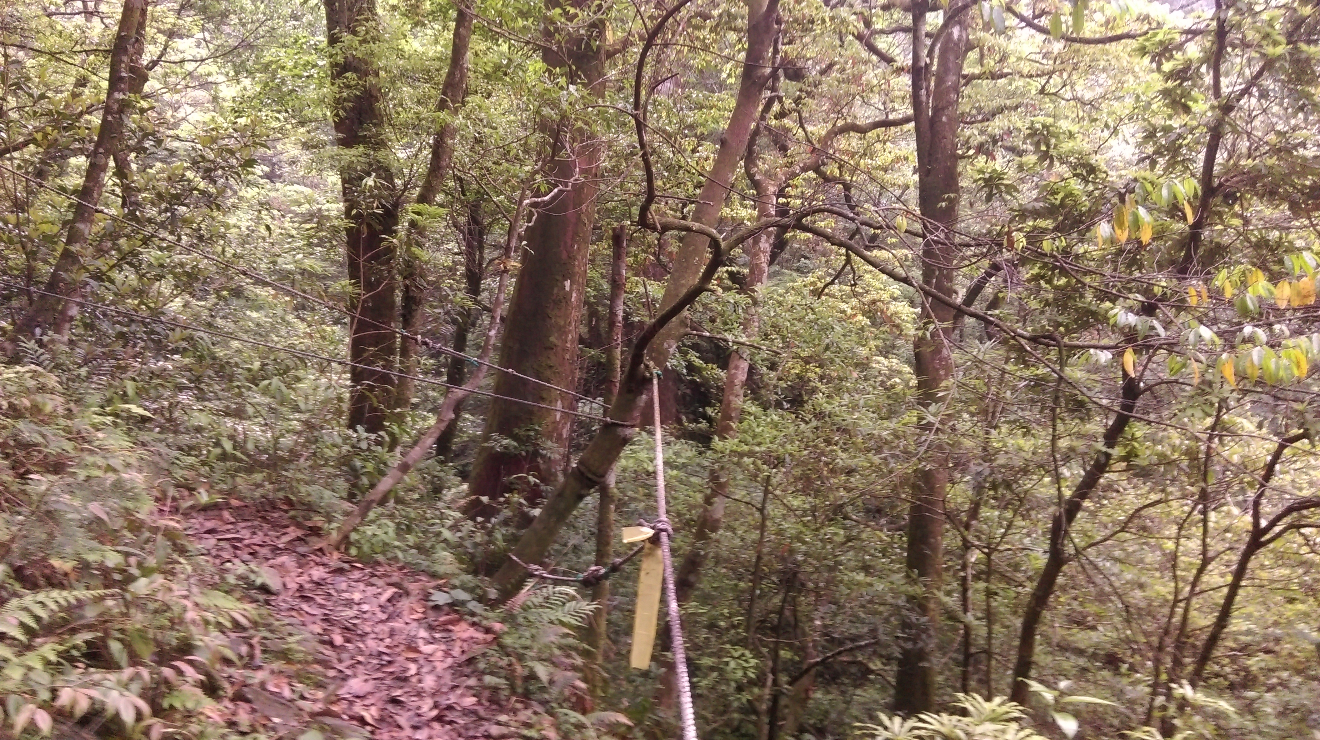
trail going away from the Huwei Tree
Turn right at a junction when the trail reaches the stream again, crossing the stream over the rocks, and climbing up the other side.
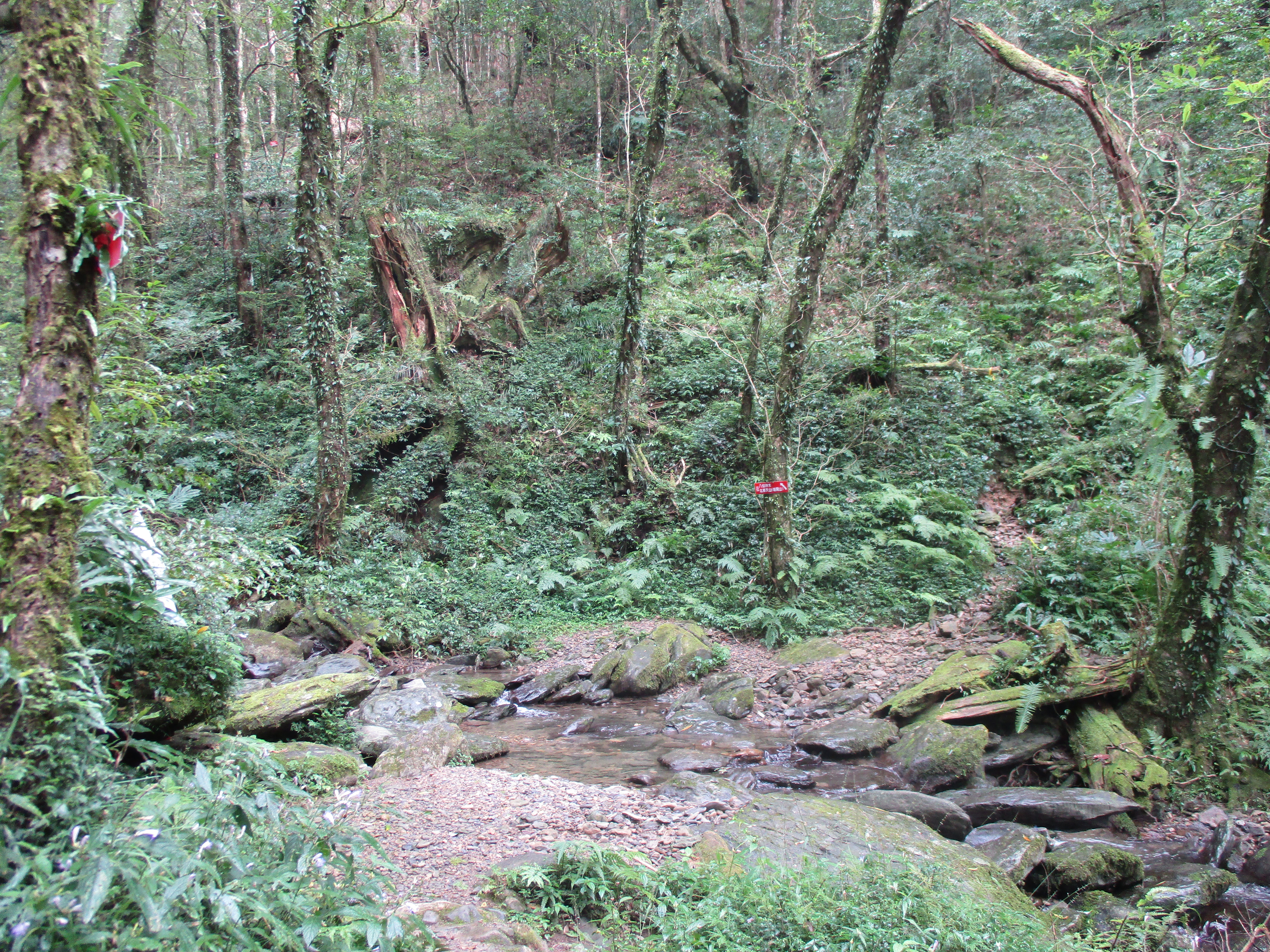
trail junction and stream crossing, turn right here
The trail soon passes the Eight Fairy Tree and several unnumbered trees soon afterward. From the Eight Fairy Tree it takes about 3 hours of steady hiking to reach the bus stop at the Full Moon Park.

Eight Fairy Tree
After passing the No. 10 and No. 15 trees the trail makes a very steep climb, crosses a small stream with the help of a rope and passes more un-numbered trees on the way up.

No. 15 Tree
steep climb passing unnumbered ancient trees
small stream crossing
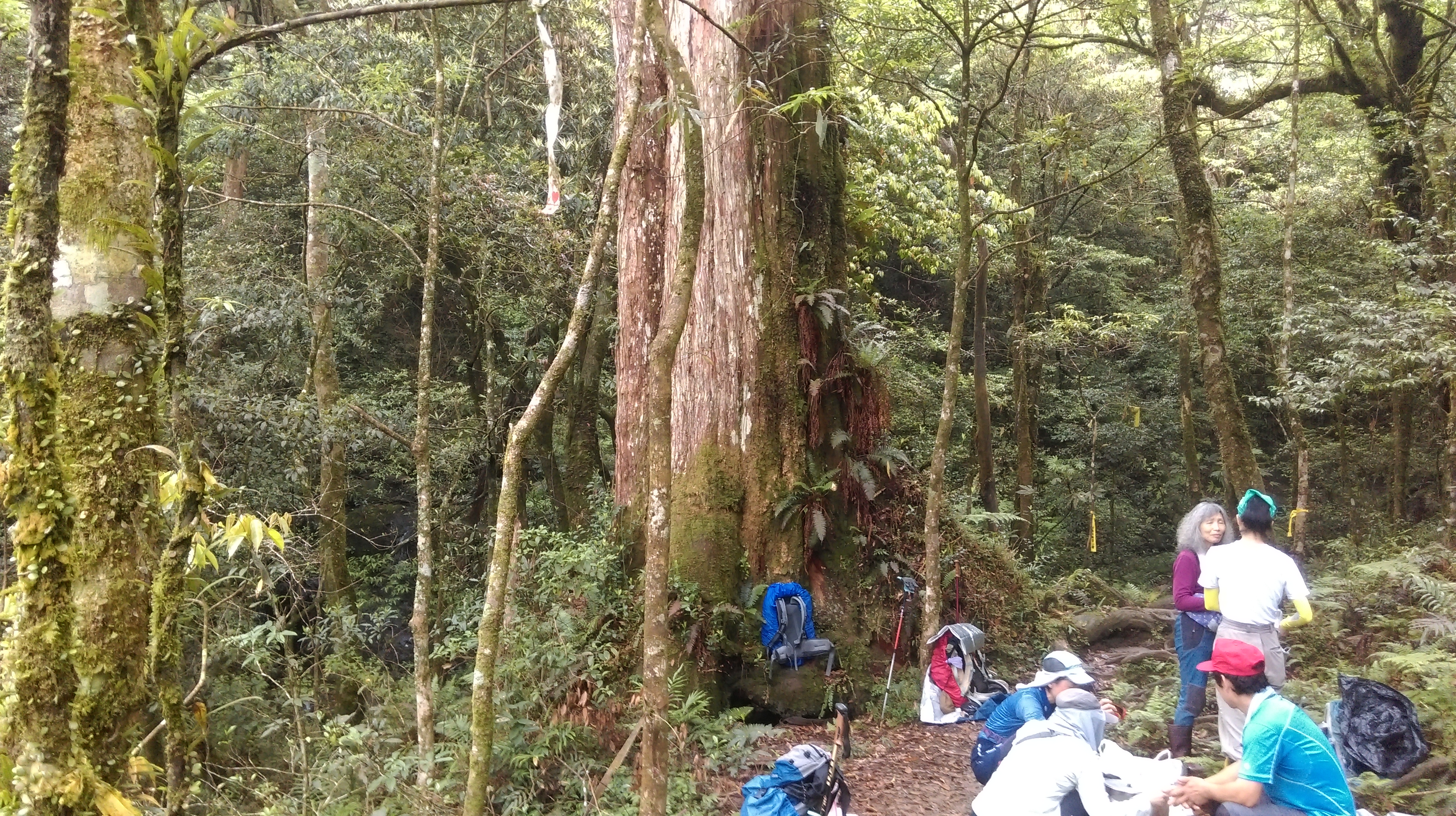
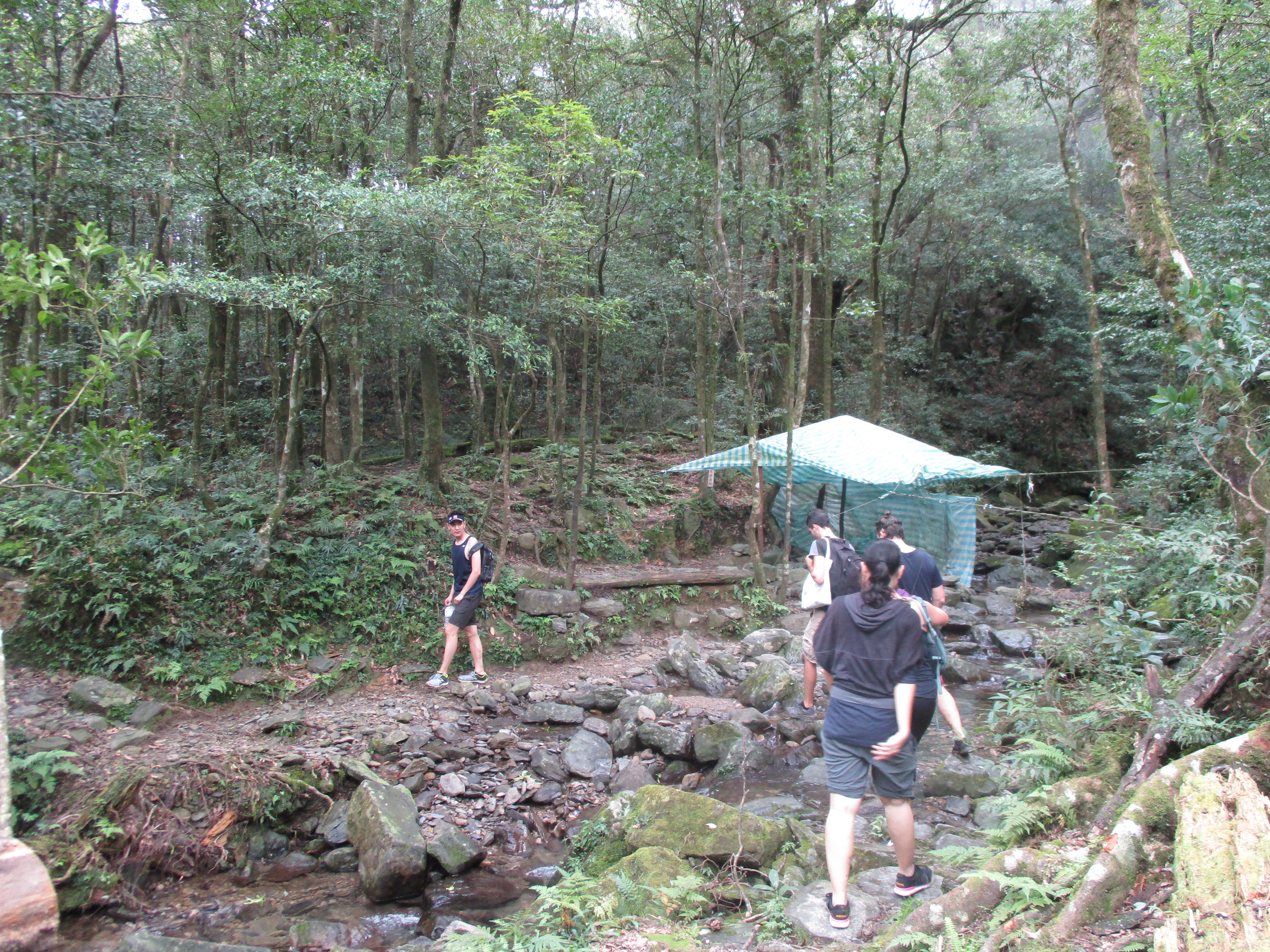
After the steep climb there is a 4-way trail junction at a wide clearing which is used as a camping spot for overnight hikers, turn left here signposted in Chinese for the Full Moon Park.
4-way trail junction, turn left here
From the junction the trail follows above the stream for a short distance then makes a crossing. Fork right a trail junction after the crossing, climbing up past a tree.
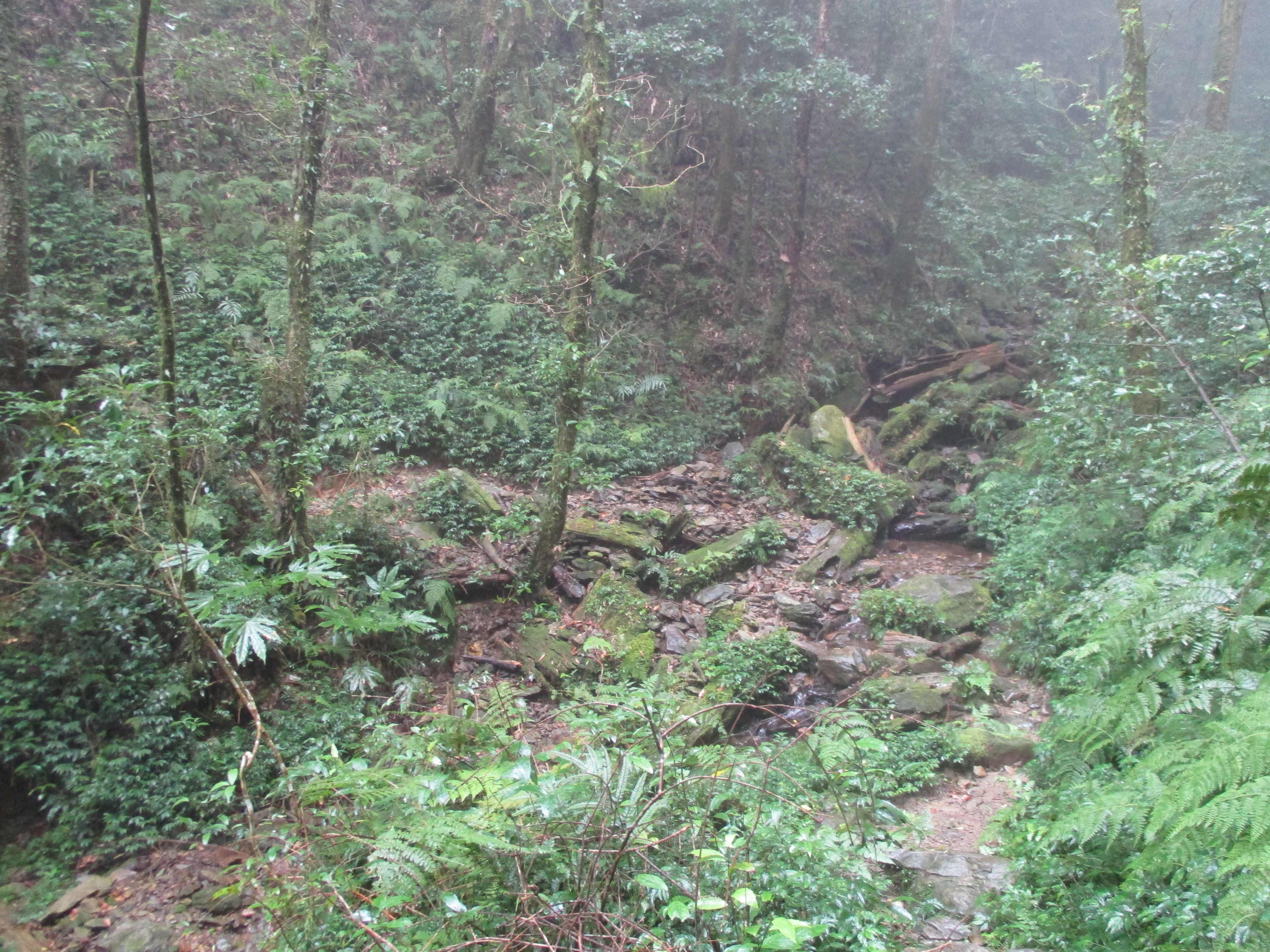
stream crossing
fork right here after the stream crossing
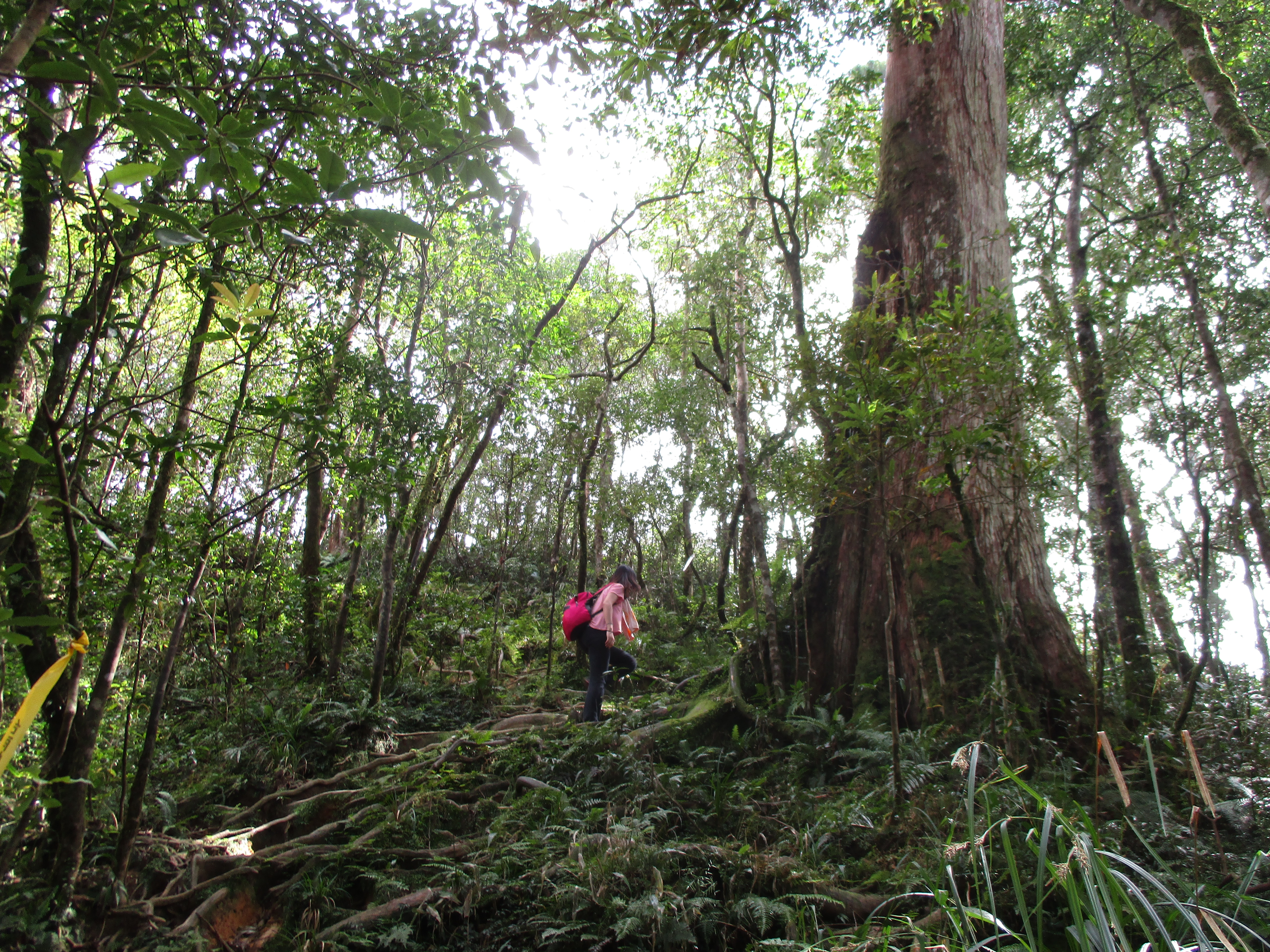
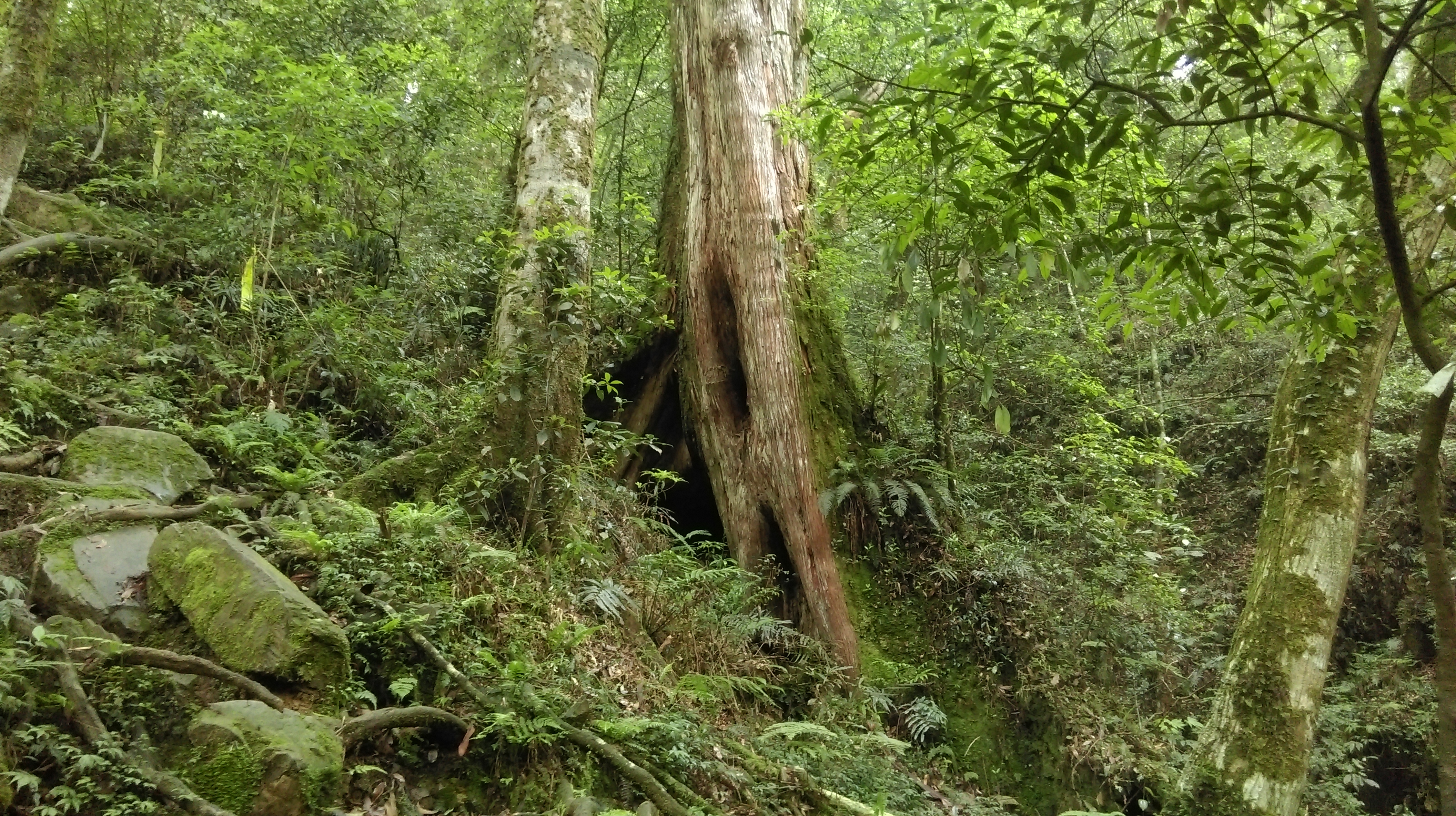
The trail then reaches its highest point passing a last unnumbered ancient tree.

at the highest point of the hike and last ancient tree
After the tree the trail makes another stream crossing and soon comes to another trail junction. Turn right here.
stream crossing/camping area
trail junction, turn right here
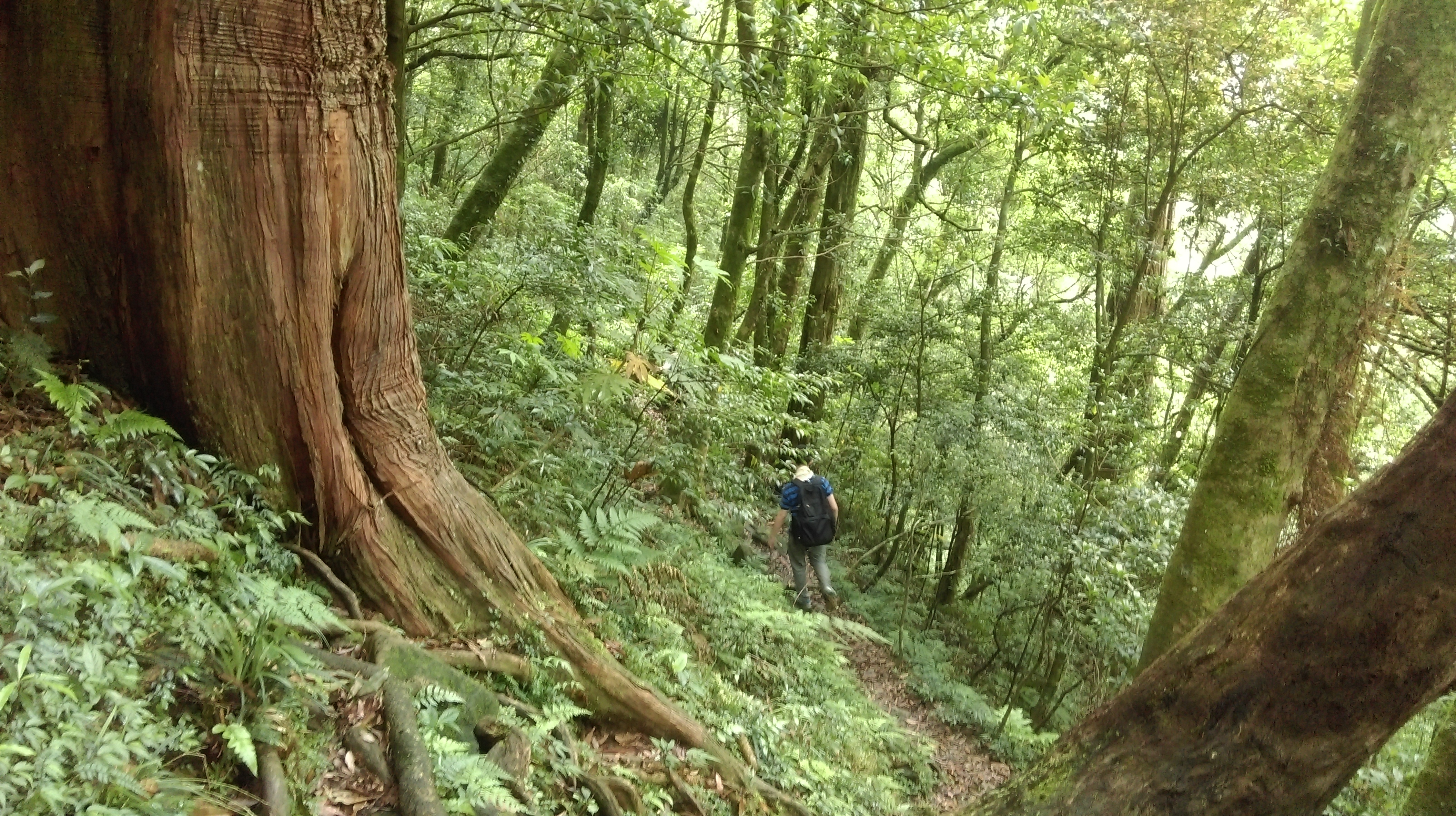
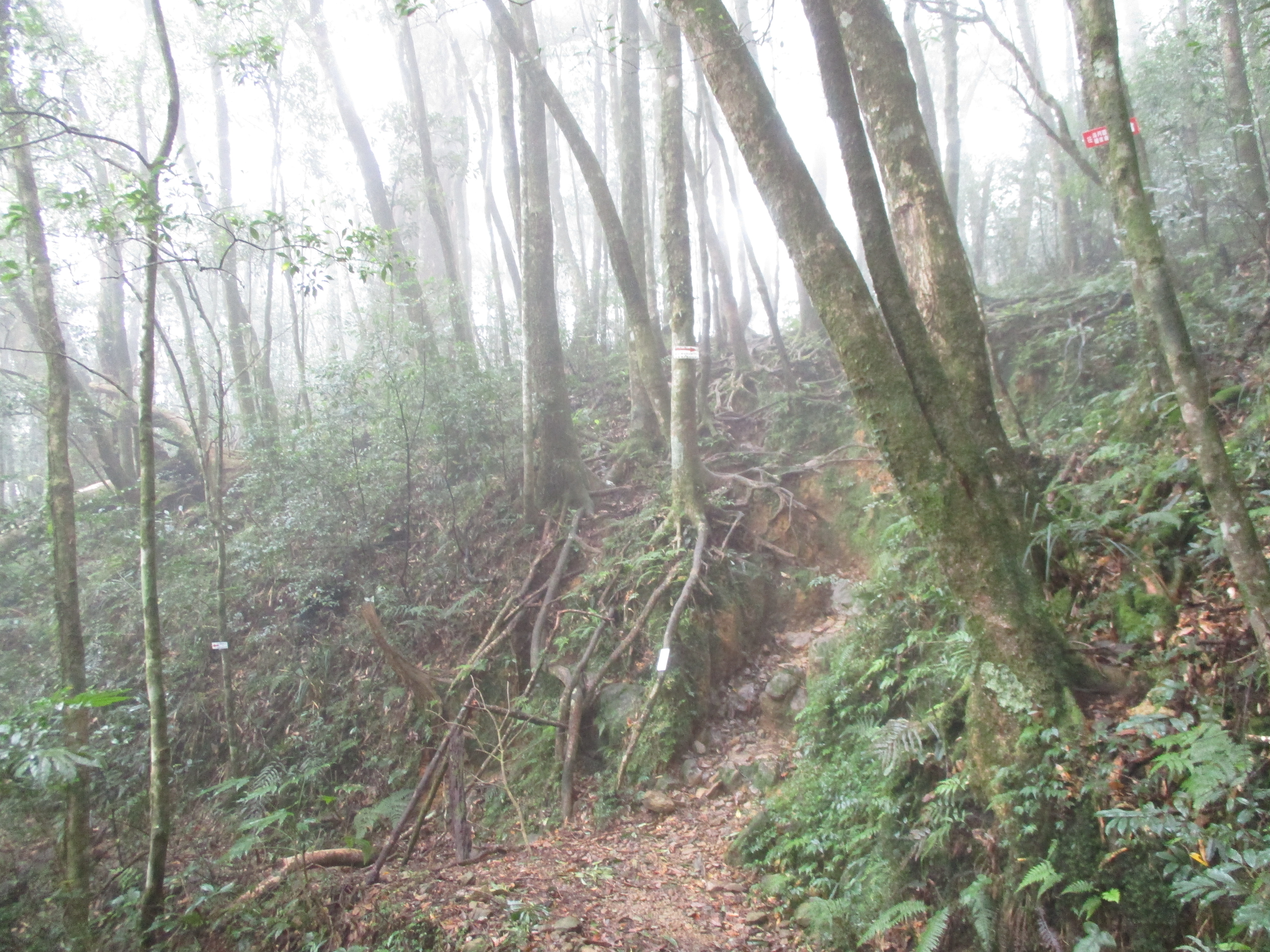
After the junction the trail descends through a narrow gulley.
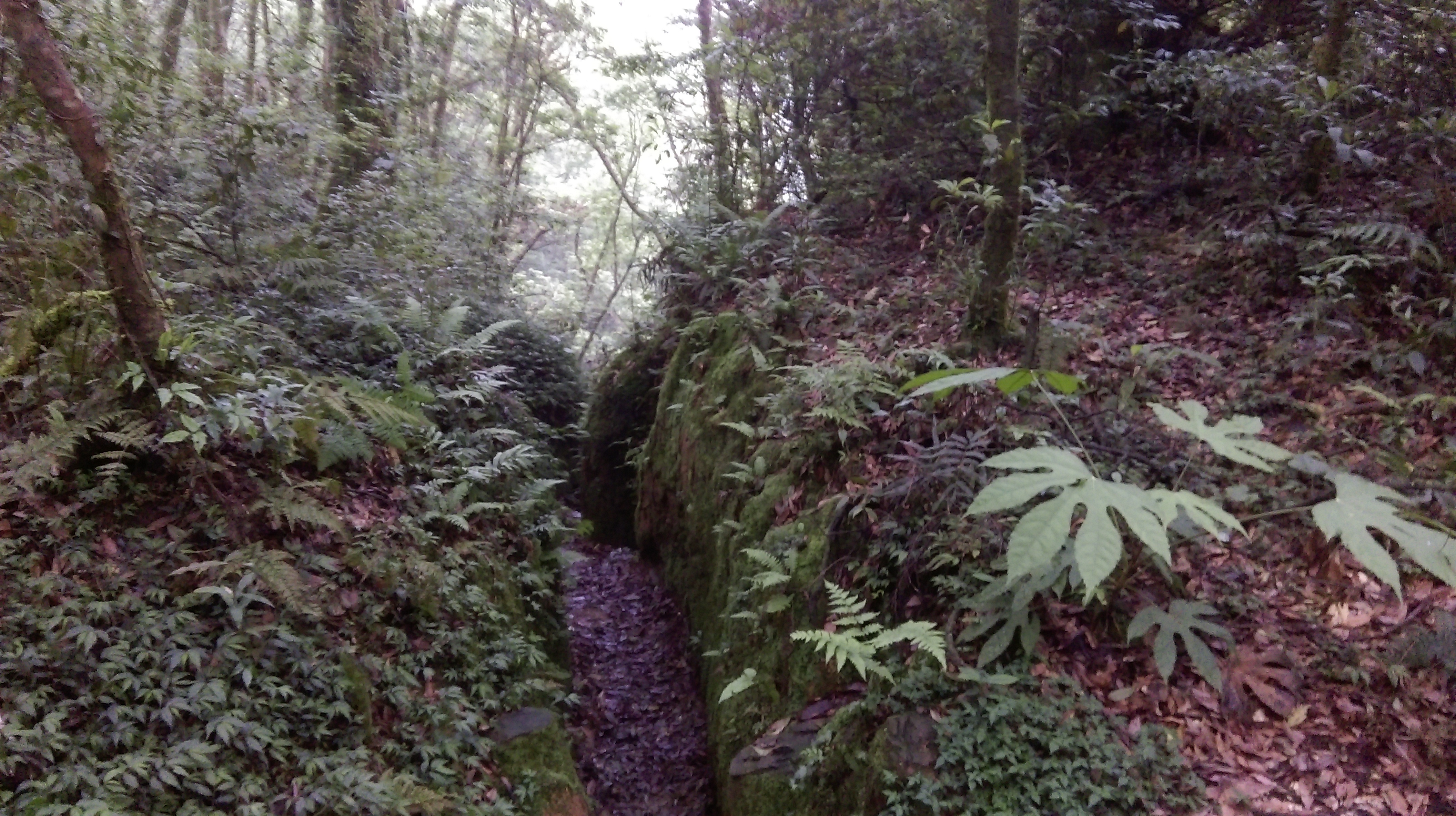
trail through a narrow gulley
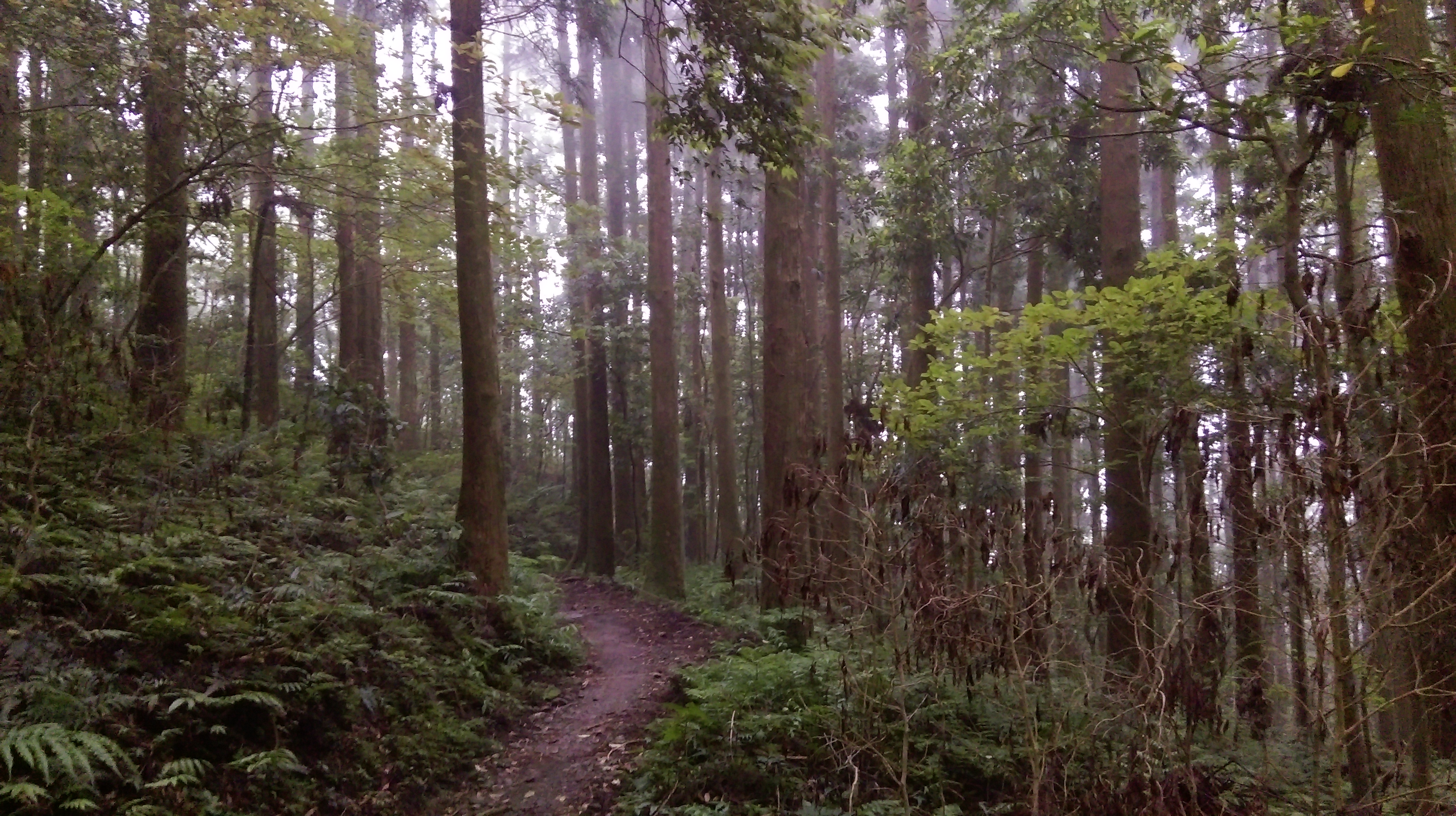
After the gulley the rest of the hike is on easy trails allowing for a faster pace. There is a long flat section of trail through here going along the side the hill.
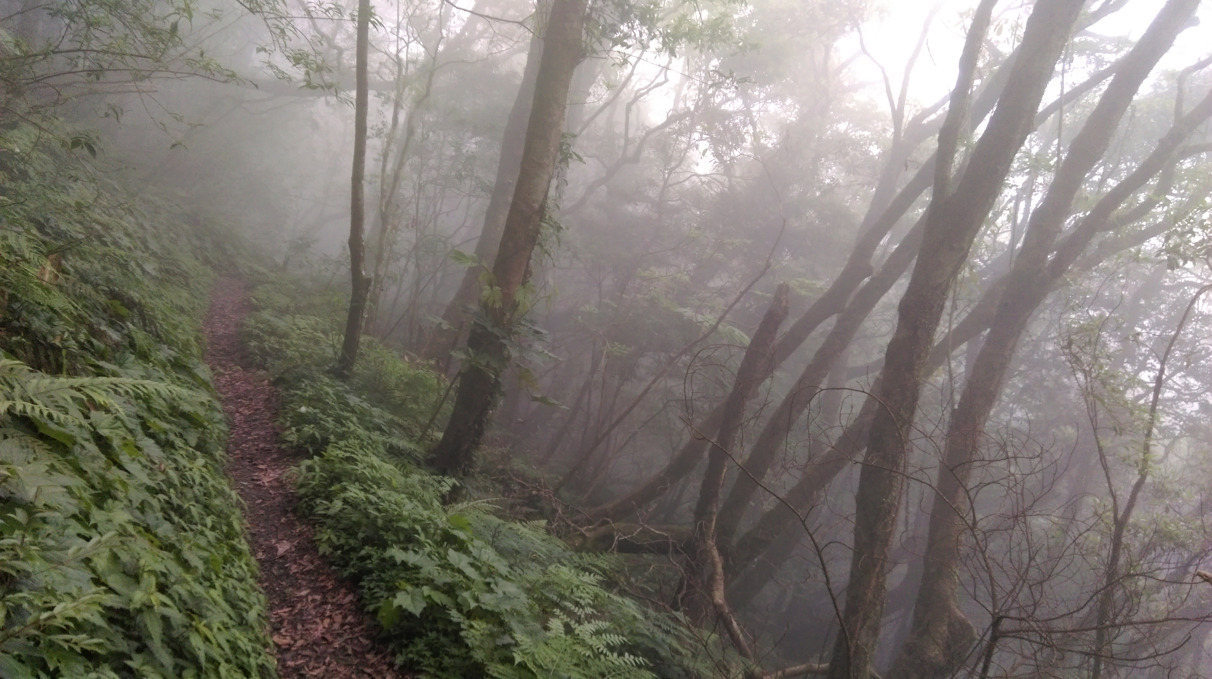
flat trail along the hillside
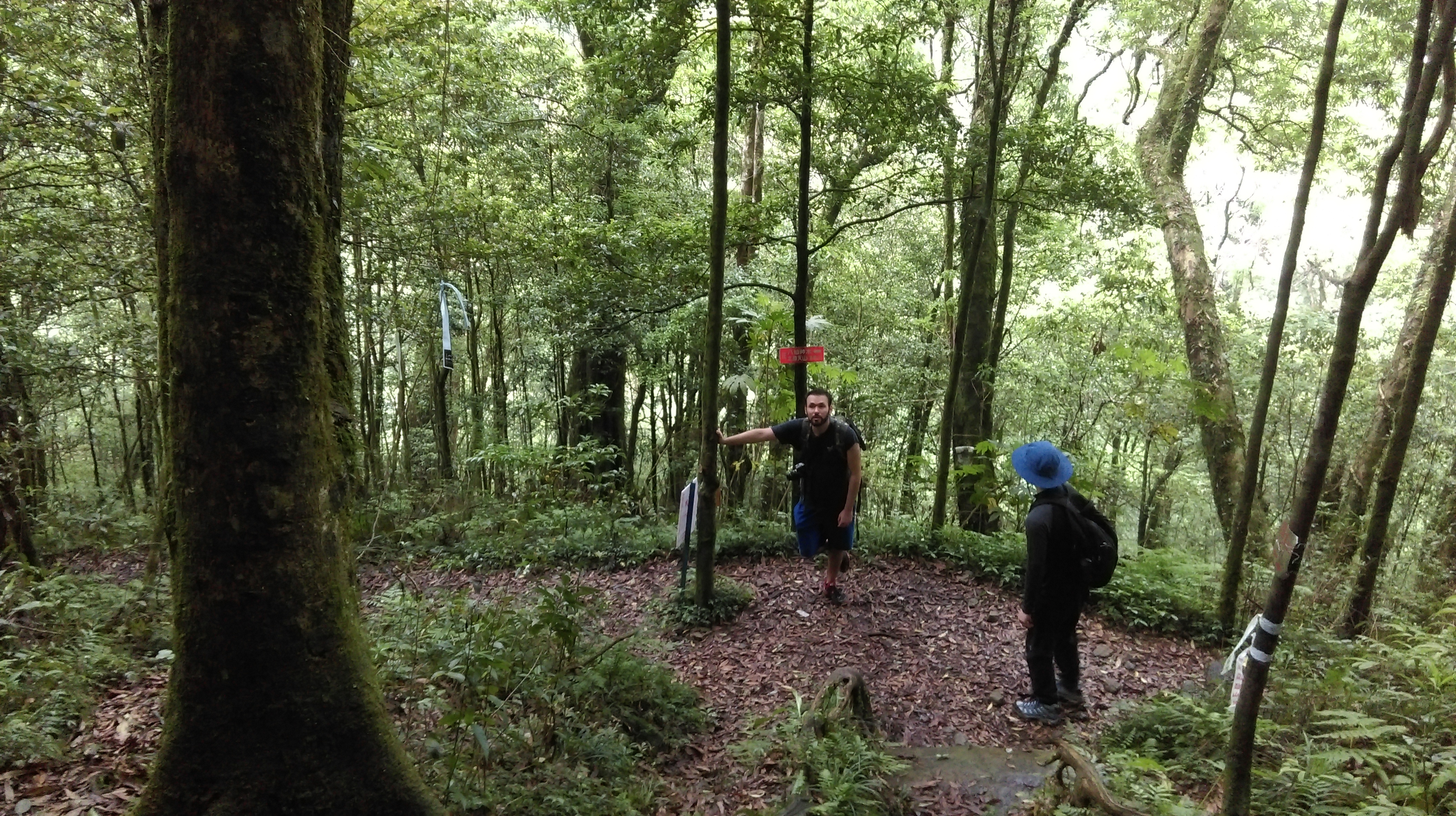
Keep going straight at a trail junction with wooden signs.
go straight at the next trail junction
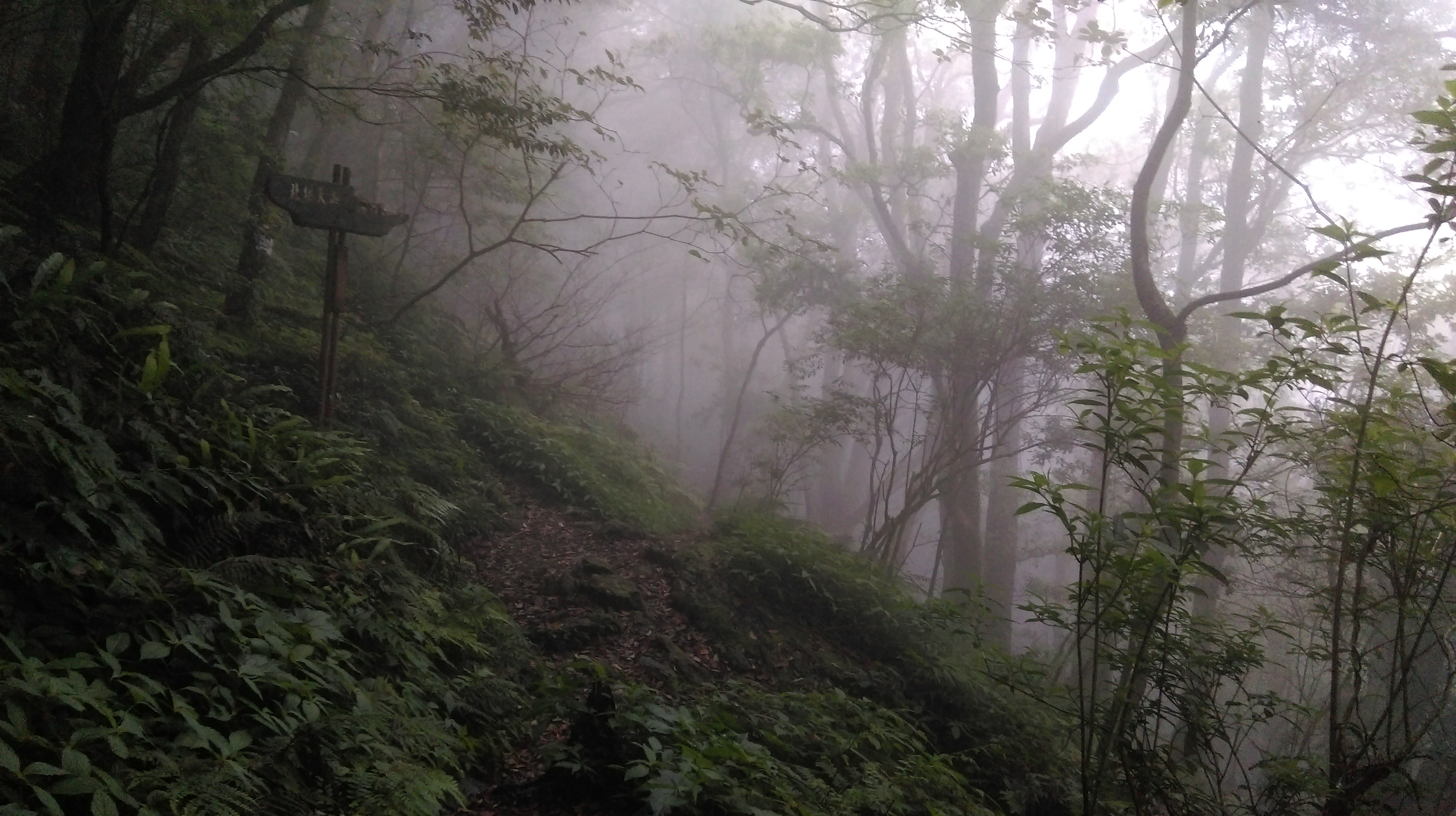
The flat trail continues to follow the hillside.

continuing along the hillside
This trail ends at a junction with another trail that connects the East Eye and Full Moon Forest Parks. Turn right at the junction. You could also turn left and follow the trail to the East Eye park. Bus 506 leaves from there leaves at 5:00.
trail junction, turn right here
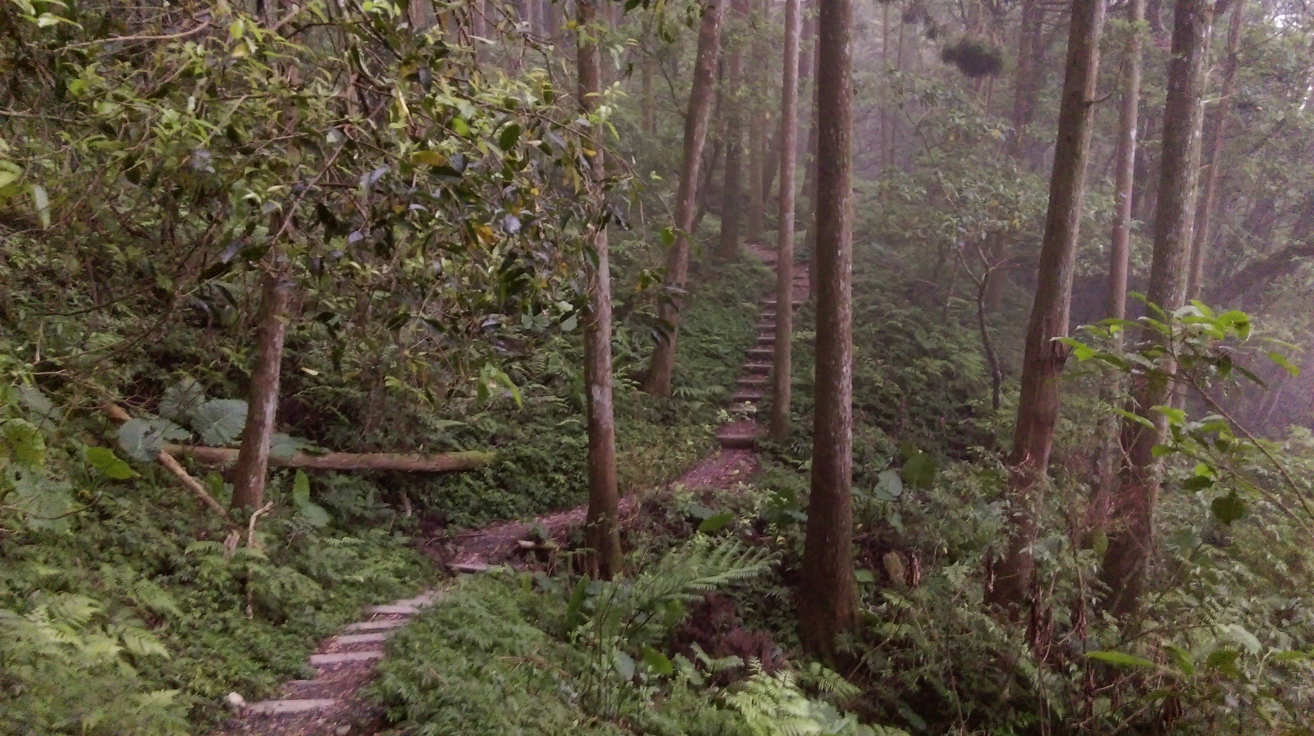
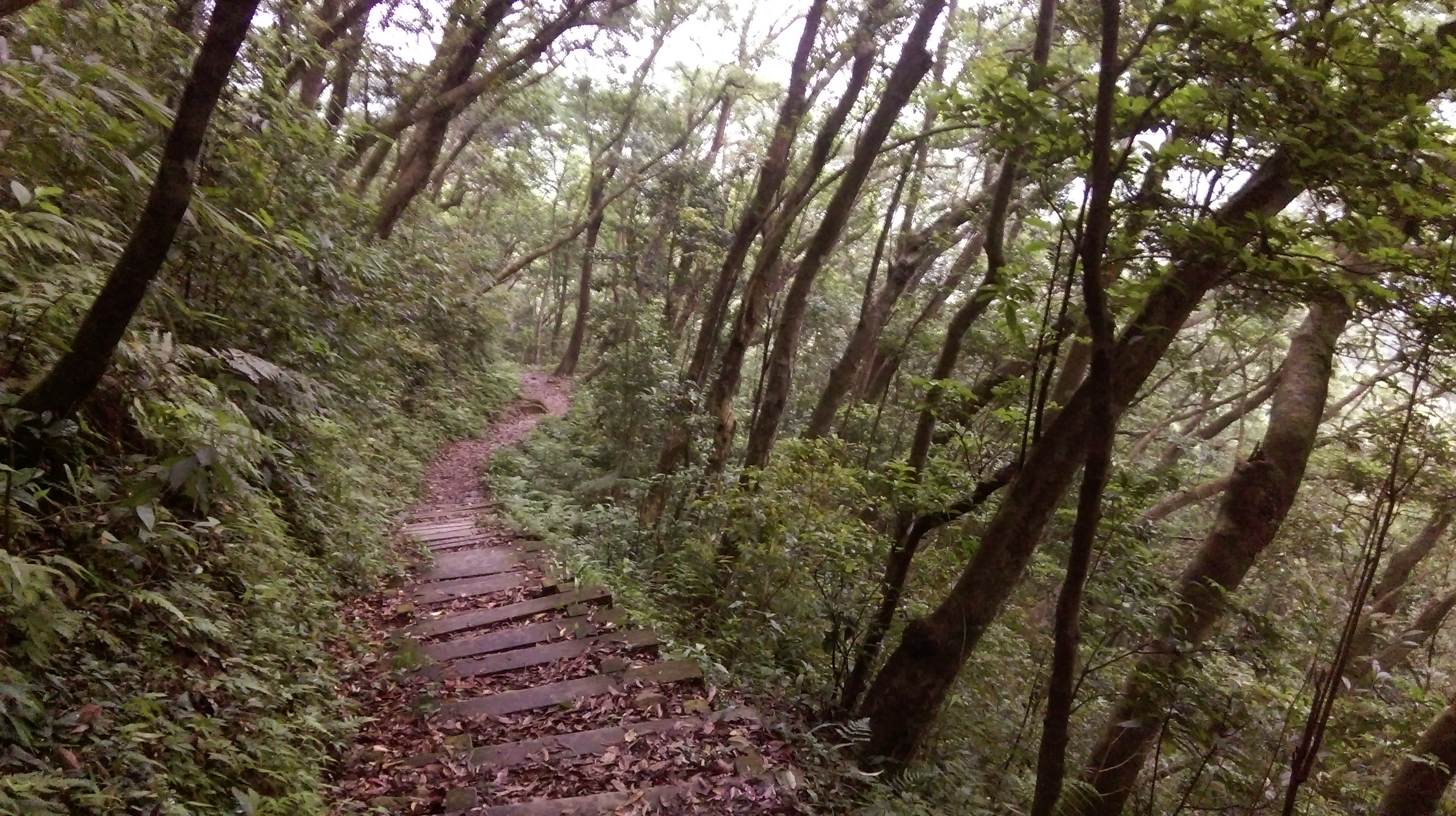
From the junction the trail descends steeply on wooden steps through the forest of Japanese cedars.
wooden steps descending through Japanese cedars
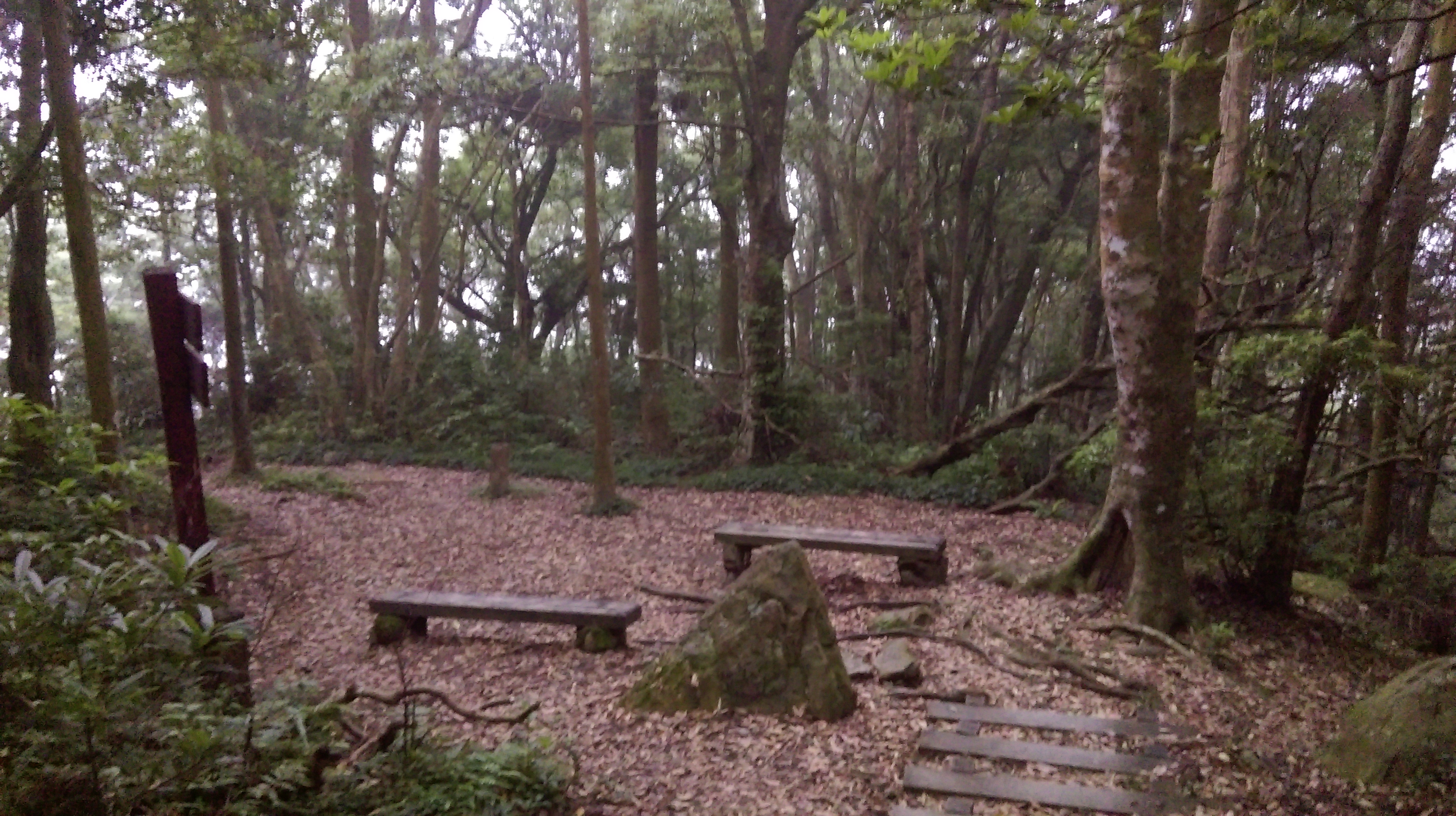
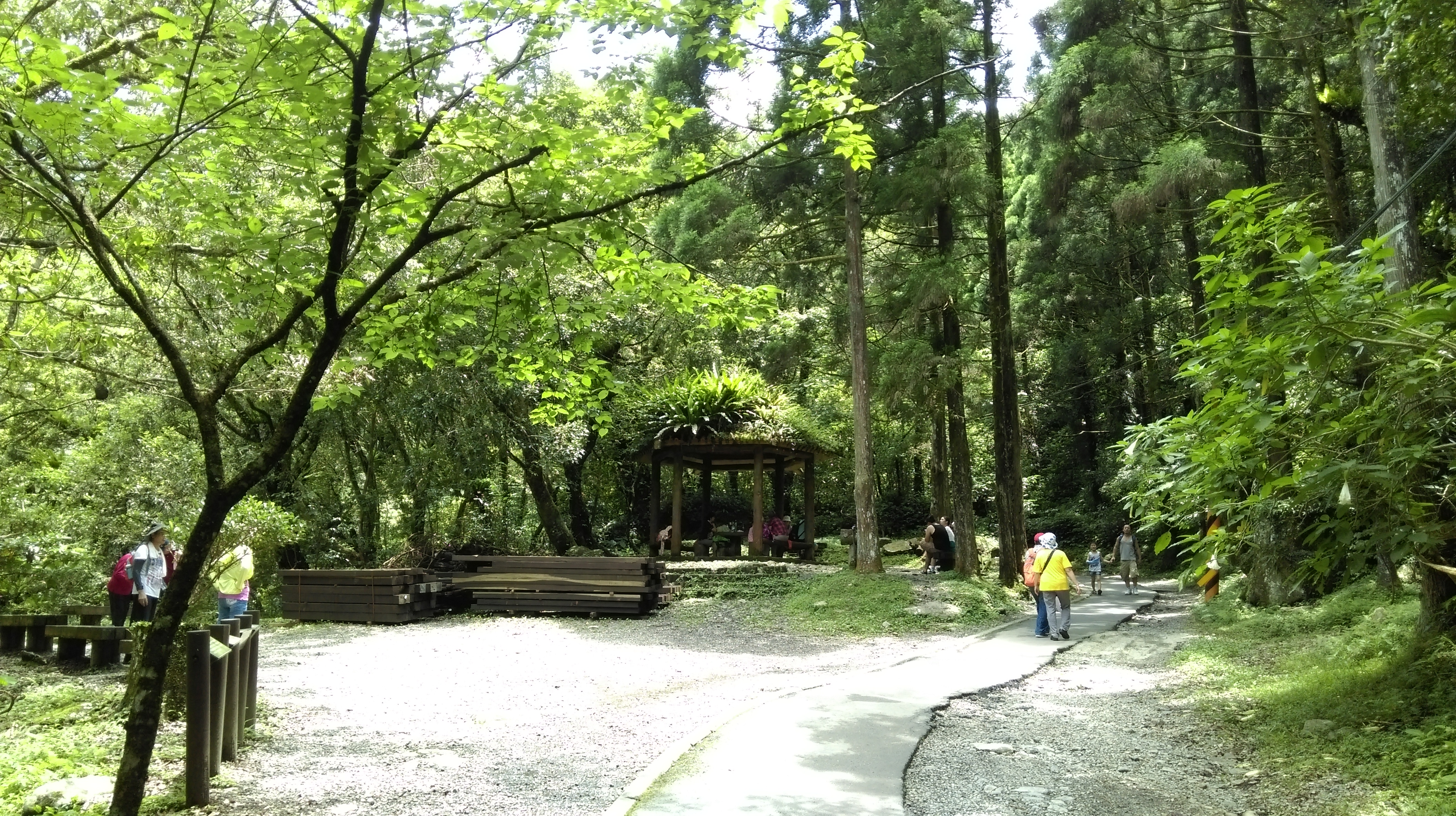
At the bottom of the long steps the trail makes a sharp left turn, becomes flat again and passes a rest area with benches.
flat trail through more Japanese cedars

rest area amongst the Japanese cedars
After rest area the trail continues through the Japanese cedars, goes along the hillside, then begins to descend again, sometimes on wooden staircases.
descending on wooden staircases
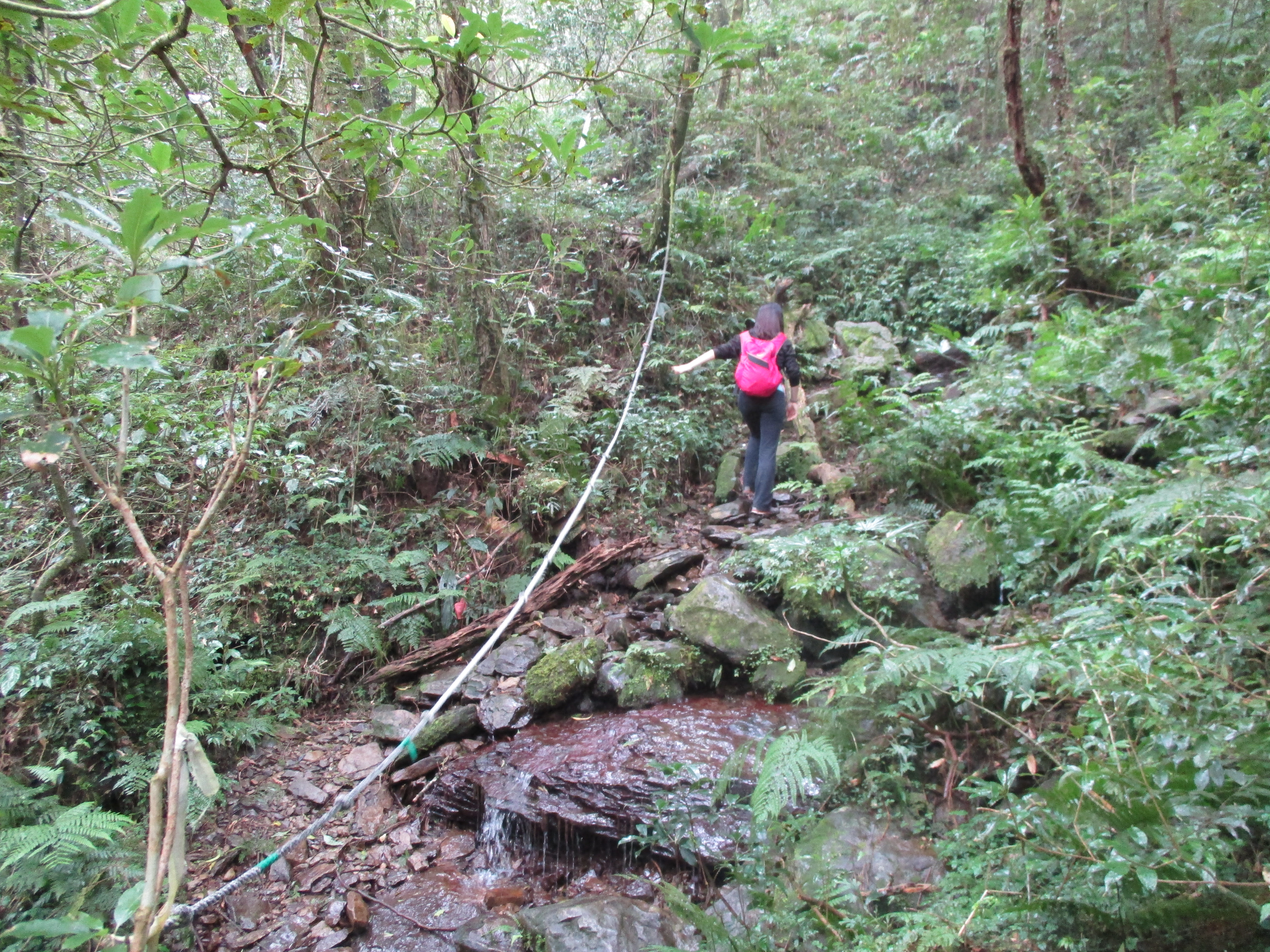
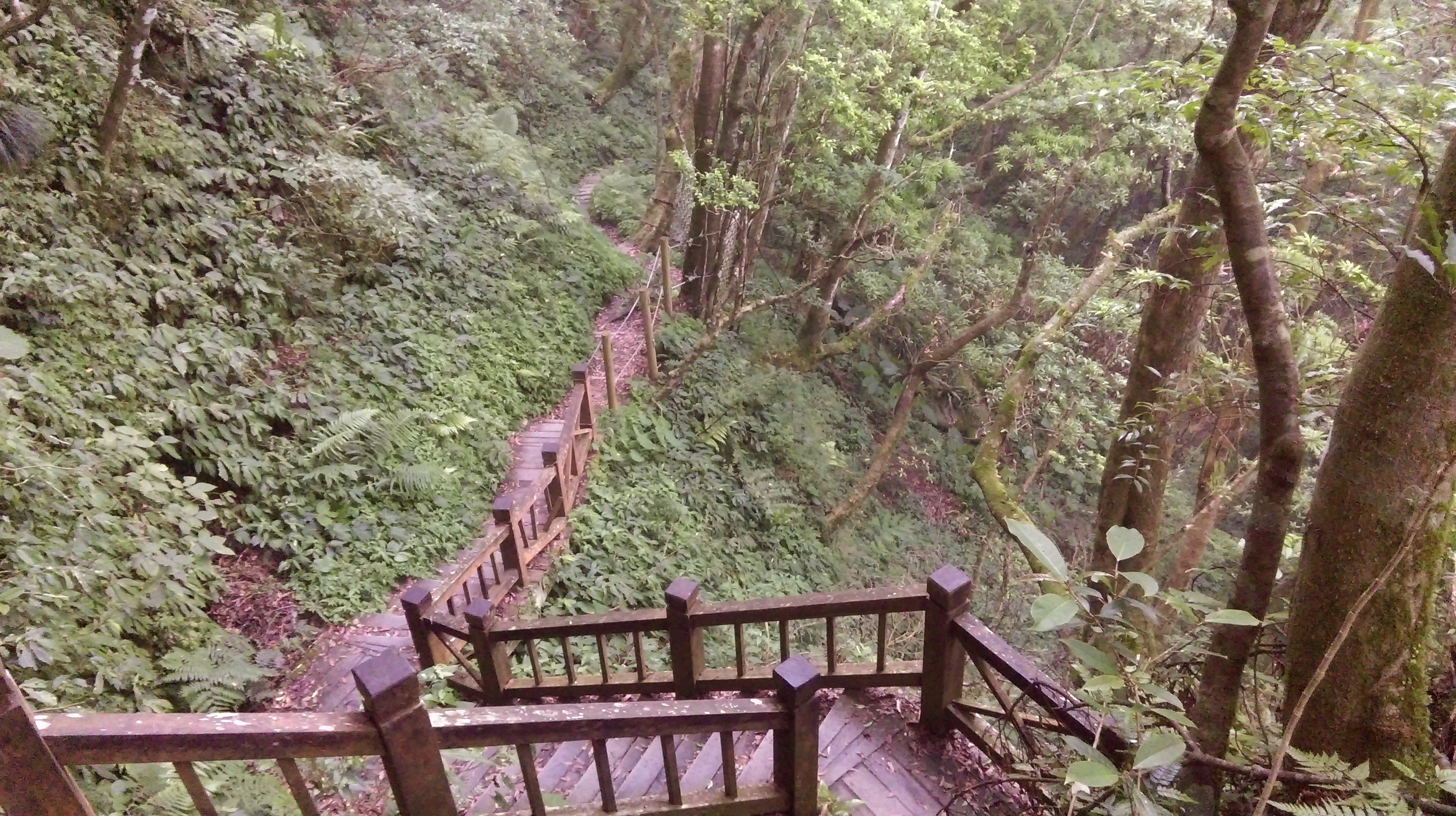
Next, the trail comes to a stream crossing where the bridge has been washed away. Use the rope to help make the crossing.
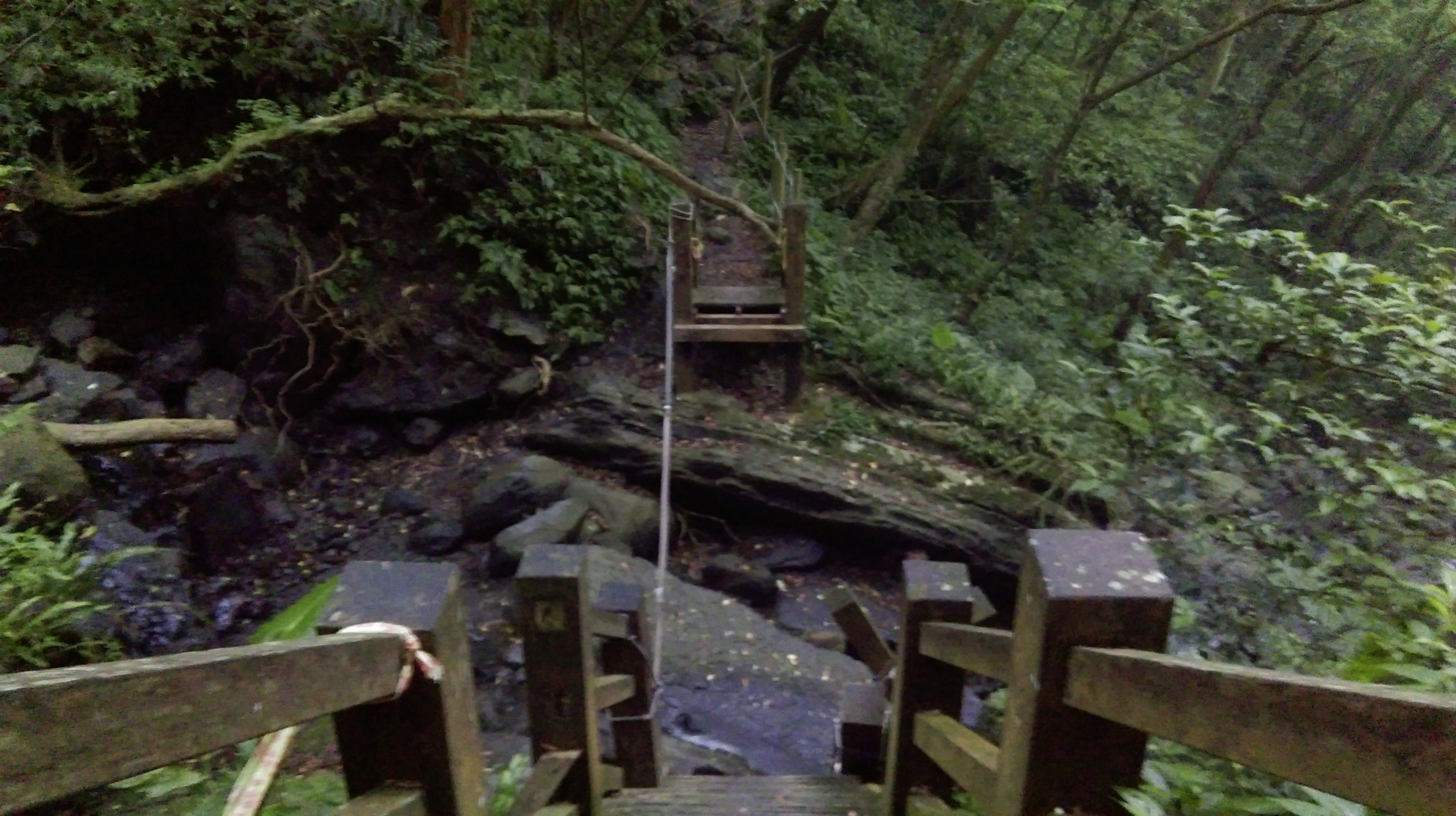
stream crossing with washed out bridge
After the crossing the trail becomes wider going along the hillside with a safety barrier.
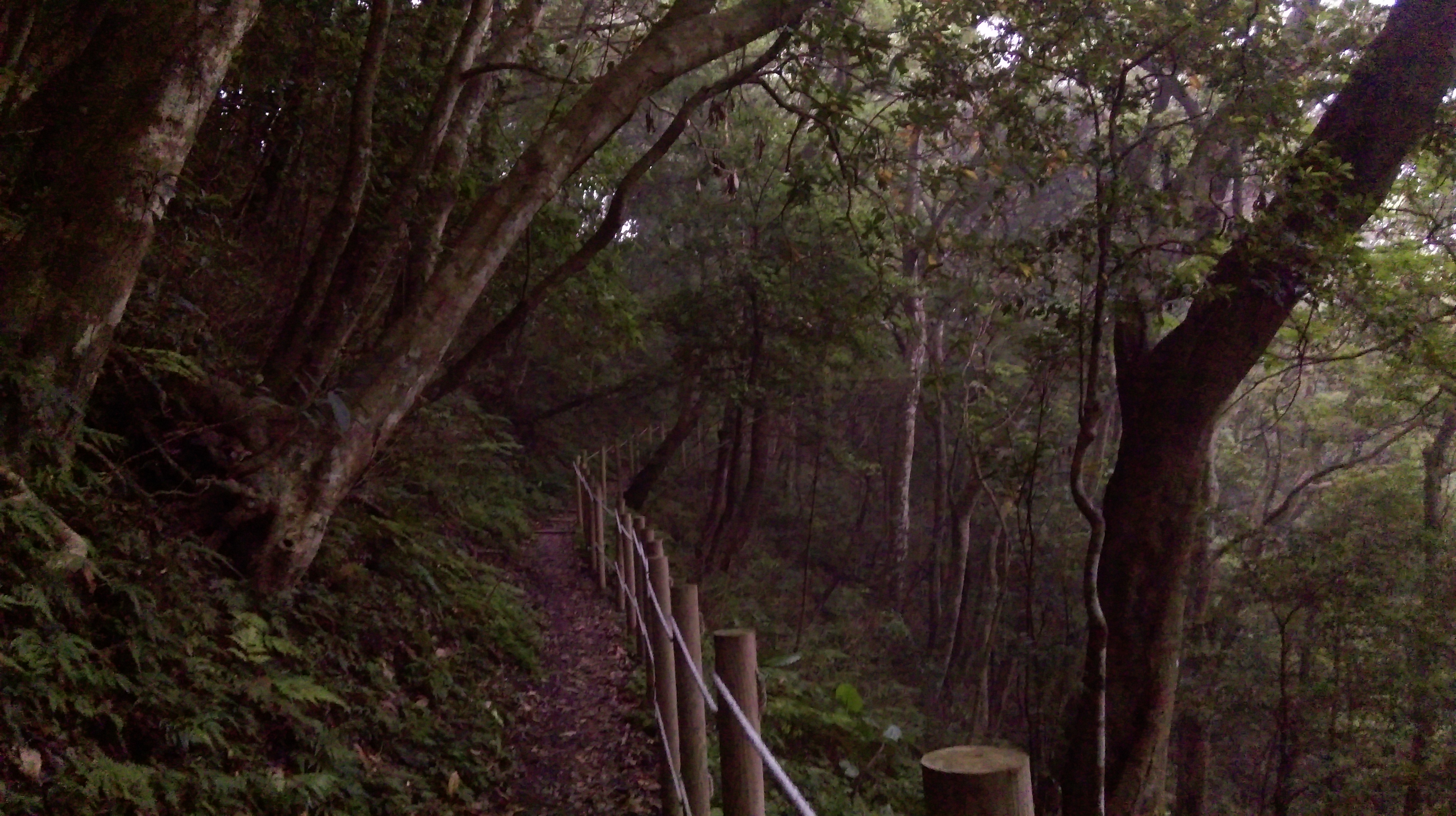
flat trail along the hillside again
More wooden steps lead downwards, then another sharp left turn at the bottom with a couple of benches.
benches at the bottom of more wooden steps
This is followed by another mostly flat section along the hillside.
going along the hillside again
The trail also crosses several landslides through here.
crossing a landslide
More wooden steps lead further downwards getting close the Full Moon Park.
descending again on wooden steps
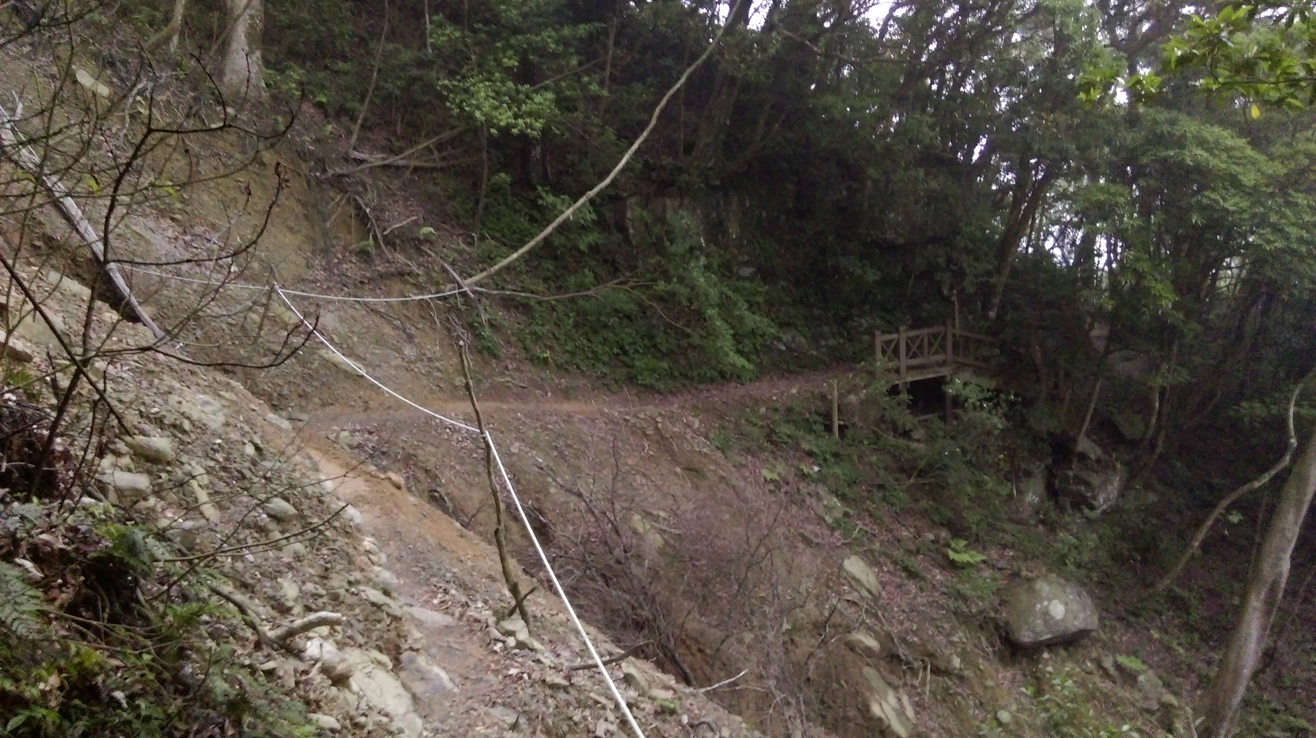
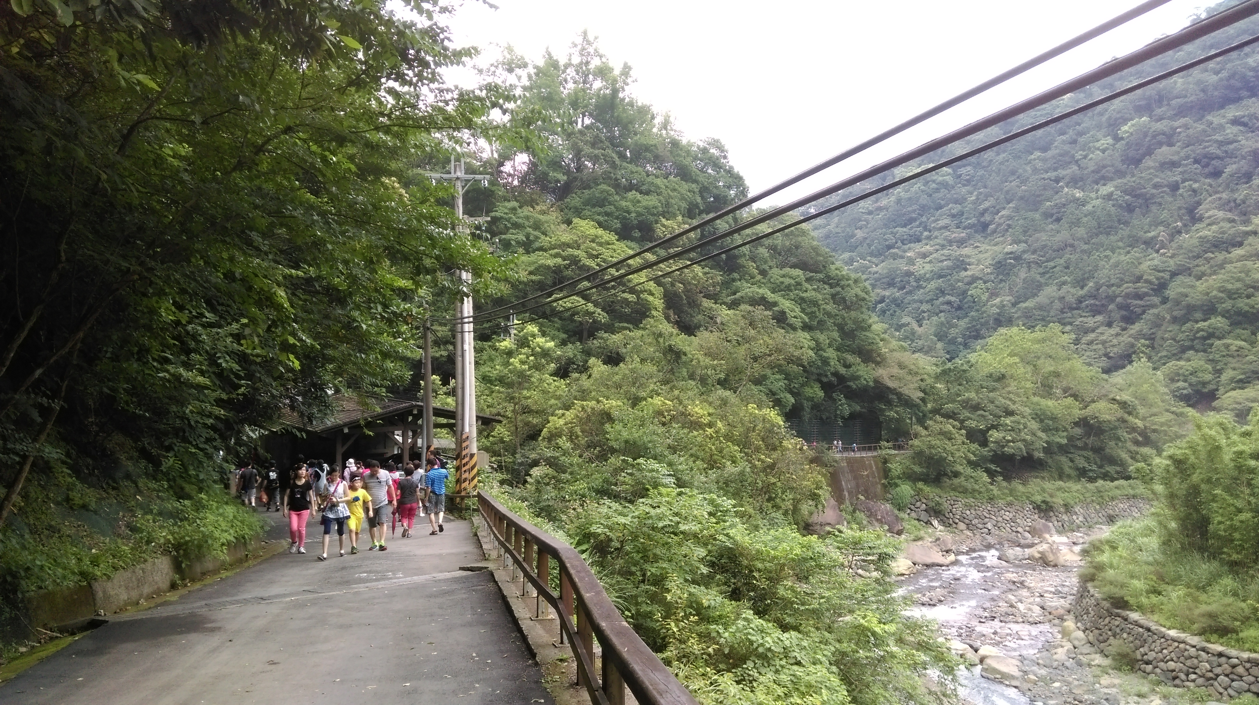
At the bottom of some more steps is a trail junction and a wooden bridge. This is the back end of the Full Moon Forest Park. You can either turn left here or keep going straight. The left turn is the Self Guiding Trail, a mostly stone trail along hillside that few visitors use. Or keep going straight and after passing the water tanks stone steps lead down to the end of the main trail through the park at the ManYueYuan Waterfall. There are also public restrooms here.

trail junction at the back of the Full Moon Park
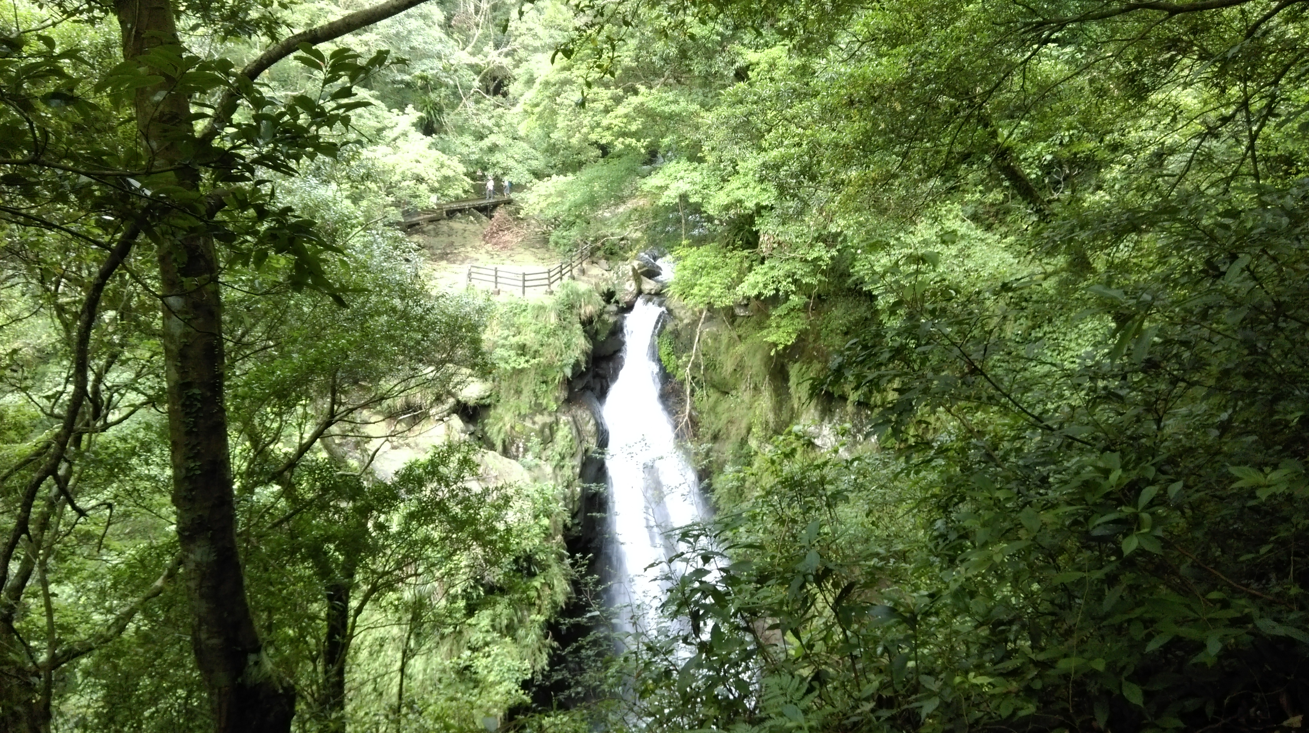
ManYueYuan Waterfall
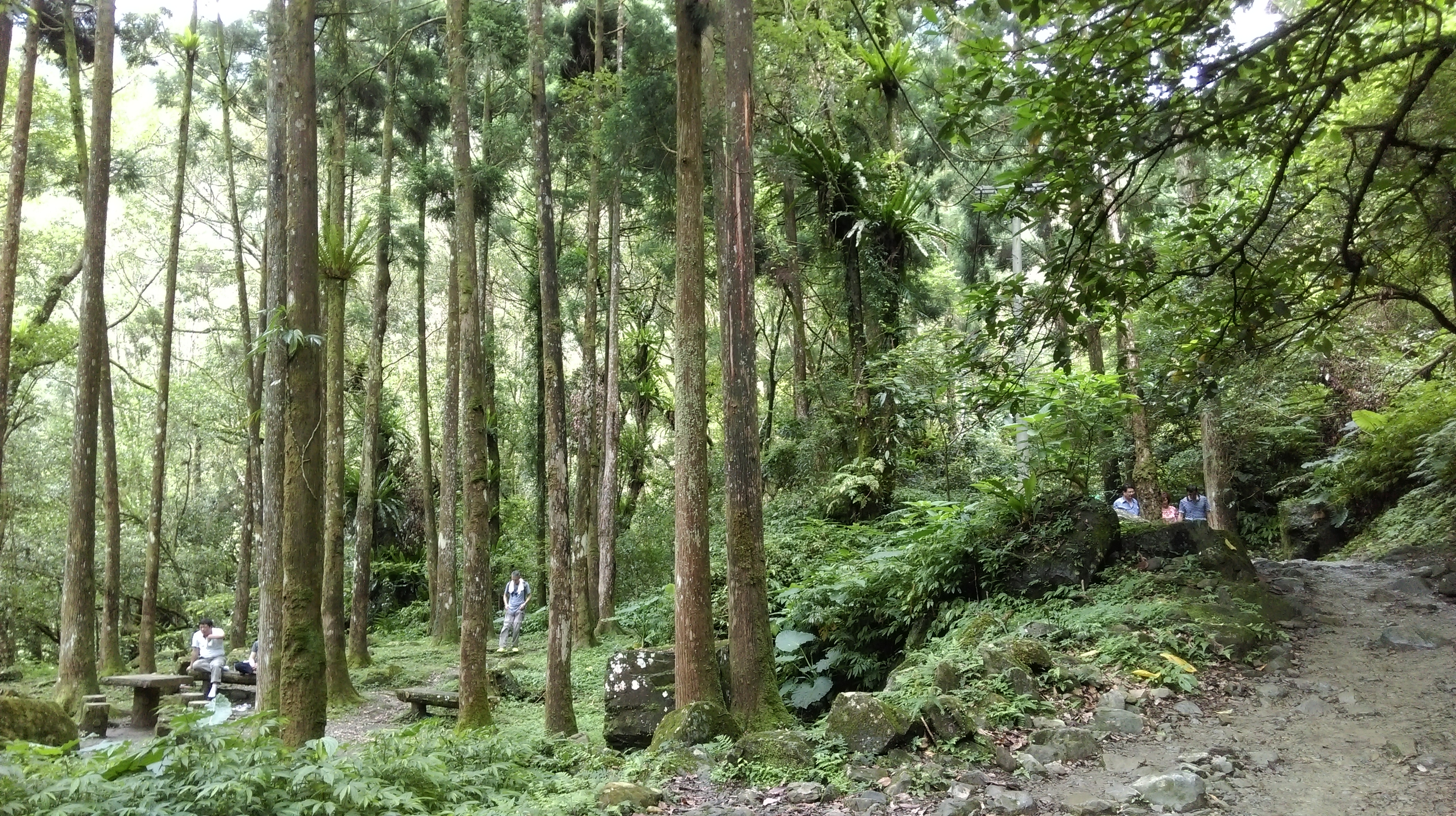
From the waterfall just follow the main trail through the park. The Full Moon Park is quite popular and it can be busy here on weekends. Although by the time you get here after the long hike most of the visitors will have left. The park closes at 5pm.
Along the way through the park you’ll pass the trail to Virgin Waterfall. This waterfall is one of the most spectacular in northern Taiwan. If you still have the time and energy it takes about 20 minutes up steep stone steps to reach the waterfall.

trail junction for Virgin Waterfall
Further on the trail passes the visitor center which may be closed by the time you get here.
main trail through the park

visitor center
After the visitor center the trail turns into a wider trail with a paved siding leading out of the park.
heading out of the park
The entrance gate to the park is locked at 5pm, but there is a rotating exit that you can still pass through. There are also public restrooms here.
park entrance gate
At the end of the trail walk though the parking lot and follow the road downhill. The bus stop is a few hundred meters down the road at the bus parking lot.
The bus to Sanxia (no. 807) is supposed to leave here at 6:10. I suggest you get the app Bus Tracker Taiwan on your phone before doing this hike so you can track the location of the bus in real time and how long until it gets to this stop, Manyueyuan Parking Lot.
Map of the Hike
