Dan-Lan Historic Trail Wantan Section
Shuangxi District, New Taipei City
Introduction: The hike takes in a section of the Dan-Lan Trail following a couple of wide streams. There are several great swimming spots along the way making this an excellent hike to do in summer.
Access: although getting to this hike is a bit of a pain, it is well worth the effort.
You need to catch bus F815 from Shuangxi Train Station at 9:40. The bus stop is located on the street just outside the station. The bus is free and the ride takes about 45 minutes.
Get off at the 料角坑(浮水橋) bus stop. You need to show this stop to the driver as it is located a bit off the main road and the bus will only stop here on request.
The actual bus stop which had public washrooms and a trail map was washed away in a typhoon. The bus now drops people off in front of a farmhouse at a T-intersection.
The return bus leaves from the last stop on the route at the end of this hike at 4:50.
Bus F815 route information: http://e-bus.tpc.gov.tw/SingleRoute/Tw/Map?rid=8004&sec=0
Length: 10.5km, 6 hrs (due to bus schedule)
Trail Conditions: mainly flat dirt trails with rocky and muddy sections
Difficulty Level: 2/5
The Hike
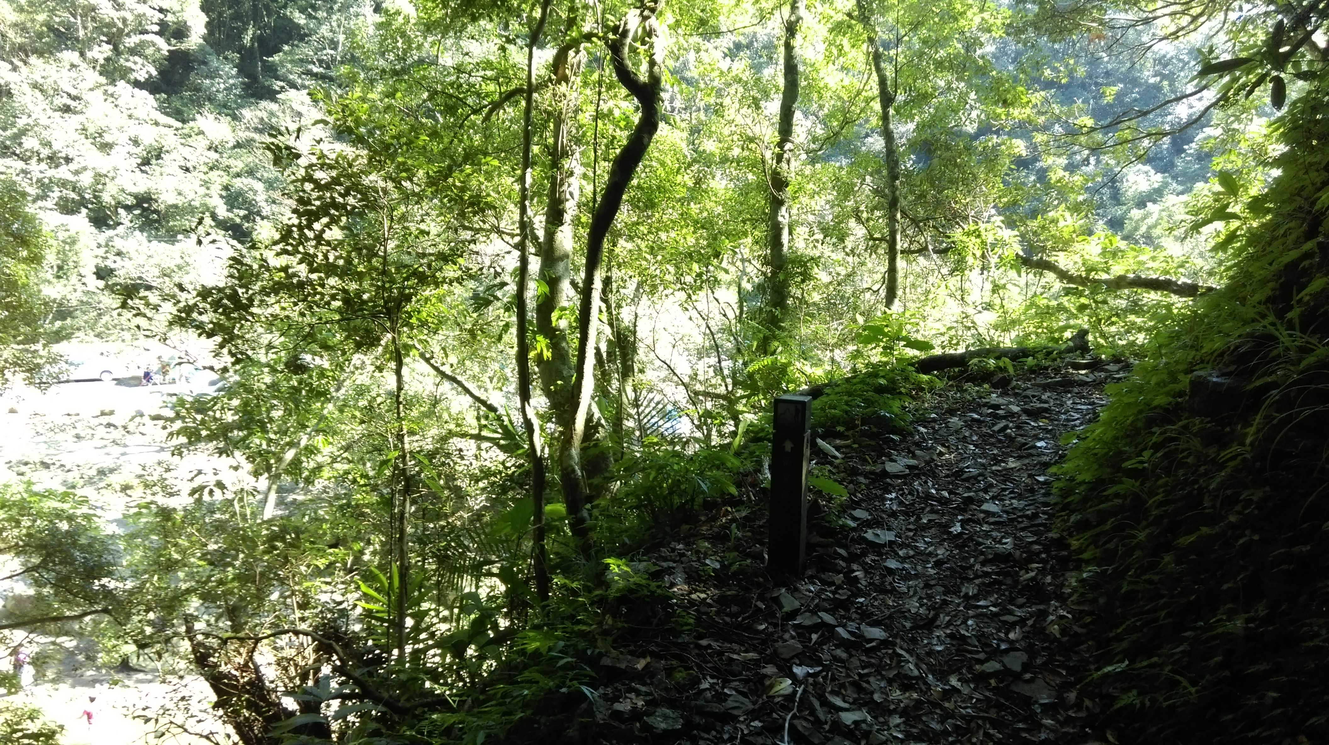
The trail starts at a T-intersection across from a farmhouse and a chicken coop. There are no signs marking the start of the trail. At first the trail starts as an overgrown track but soon changes into a dirt trail going along the stream. There is a stake marking the start of the trail here.
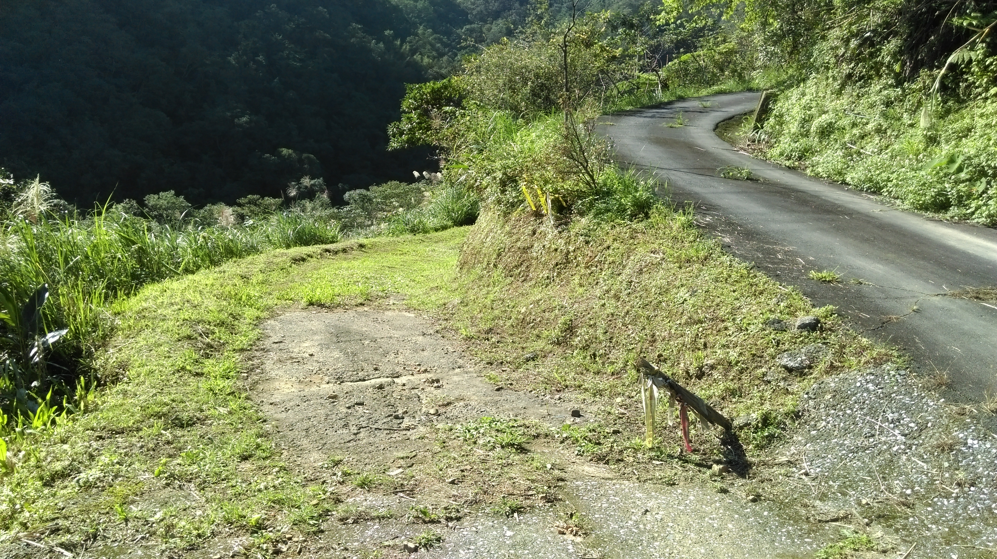
trail starts here

start of the dirt trail
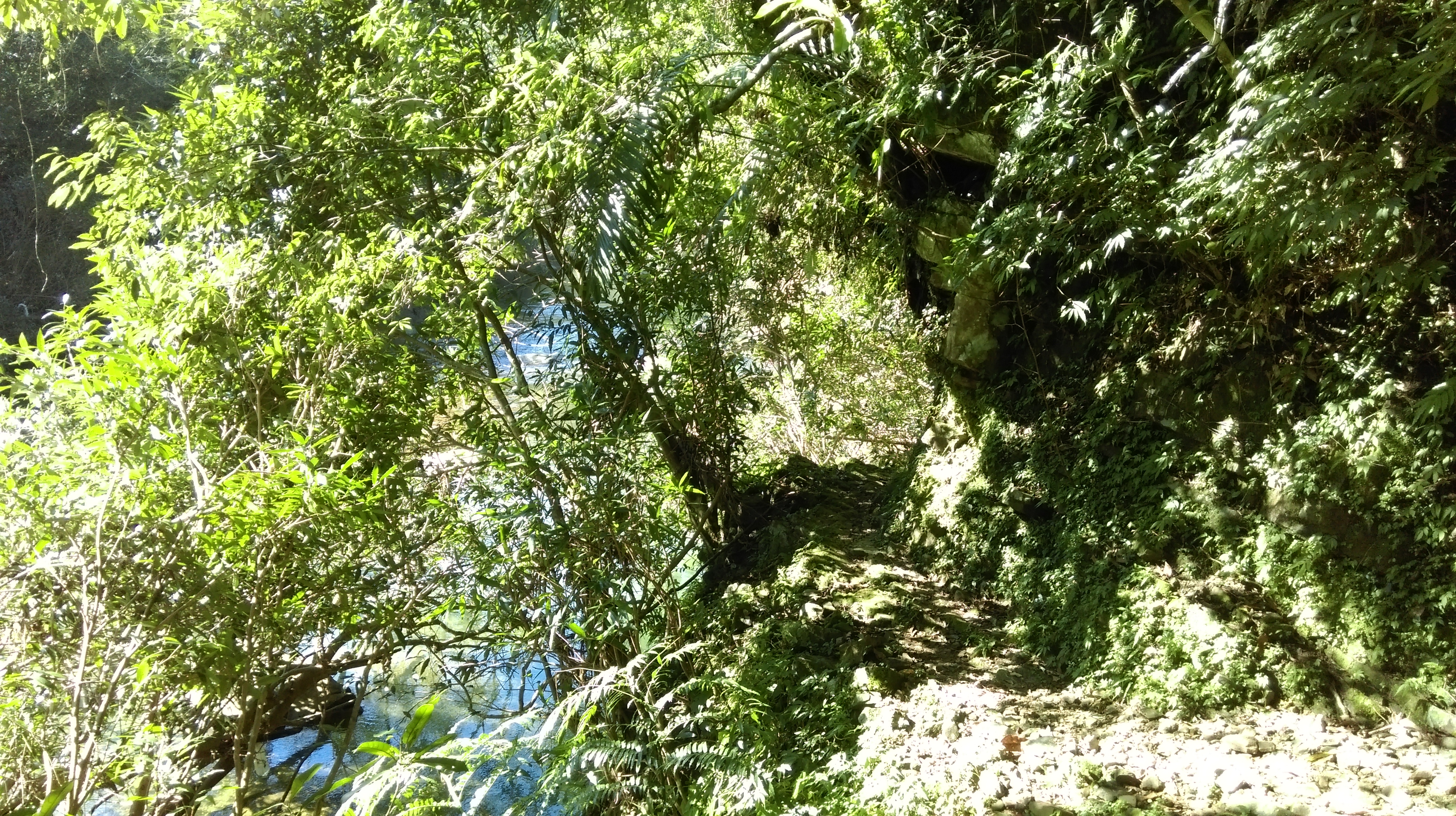
The trail crosses a small tributary stream over a log bridge. There is some kind of tablet at the other end of the bridge.

log bridge

tablet at the log bridge
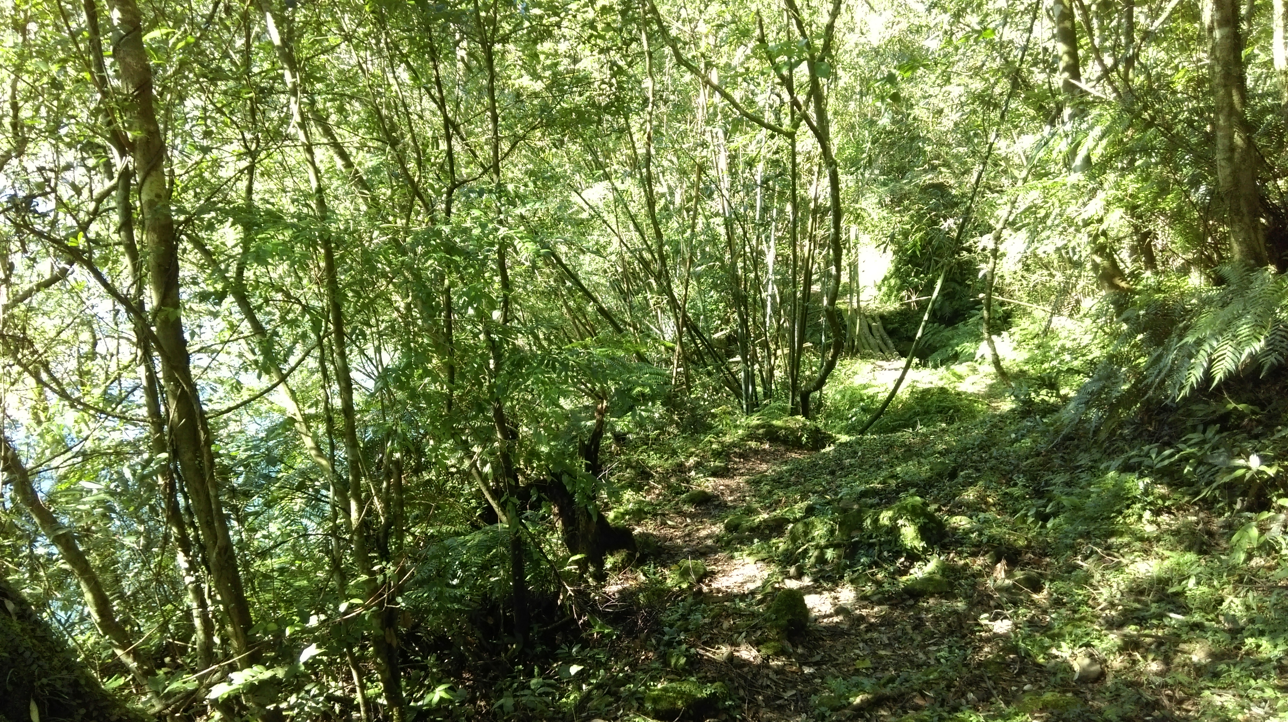
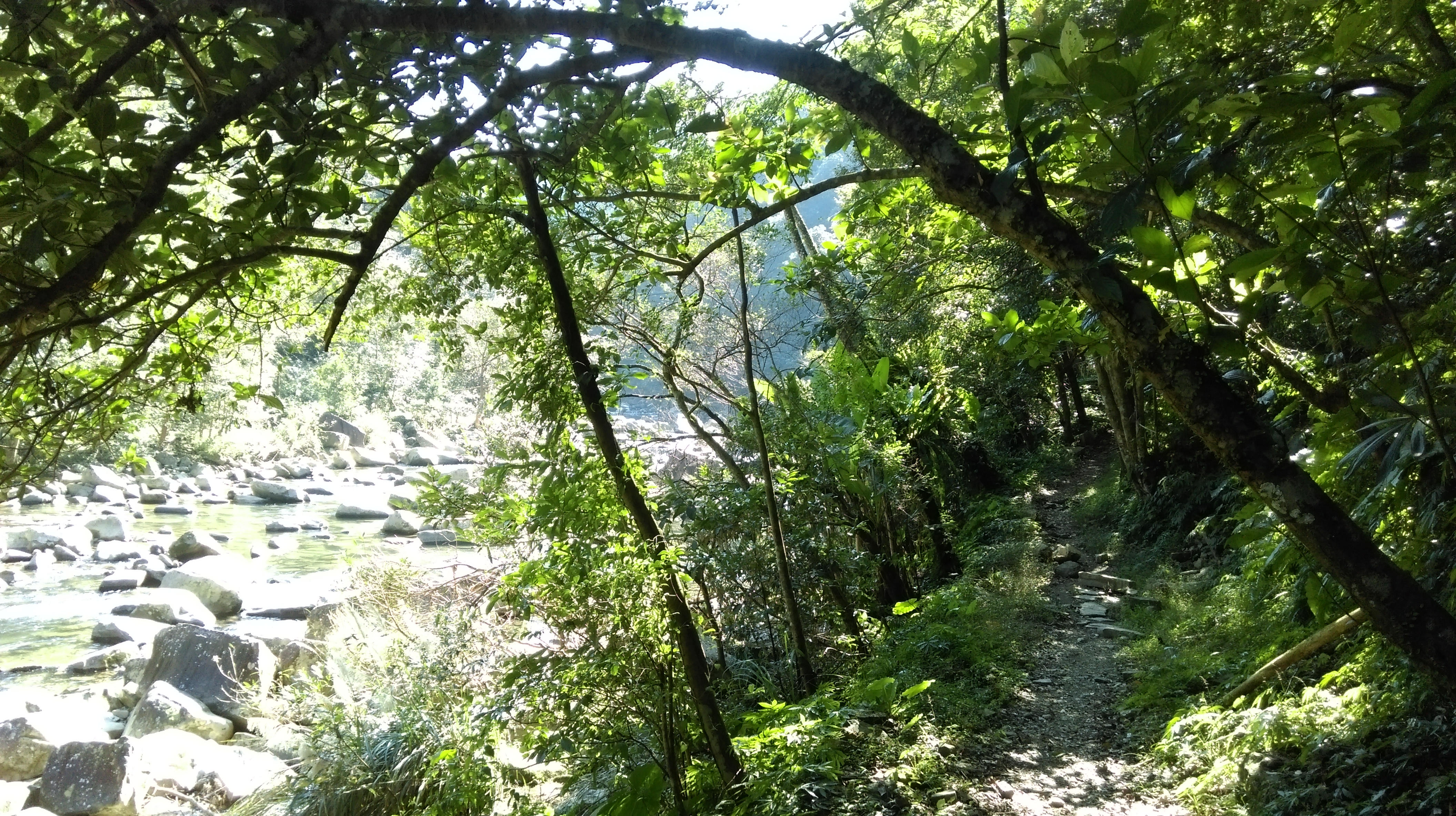
The trail continues along the stream going over some rocky sections.

trail going along the river

rocky section of trail
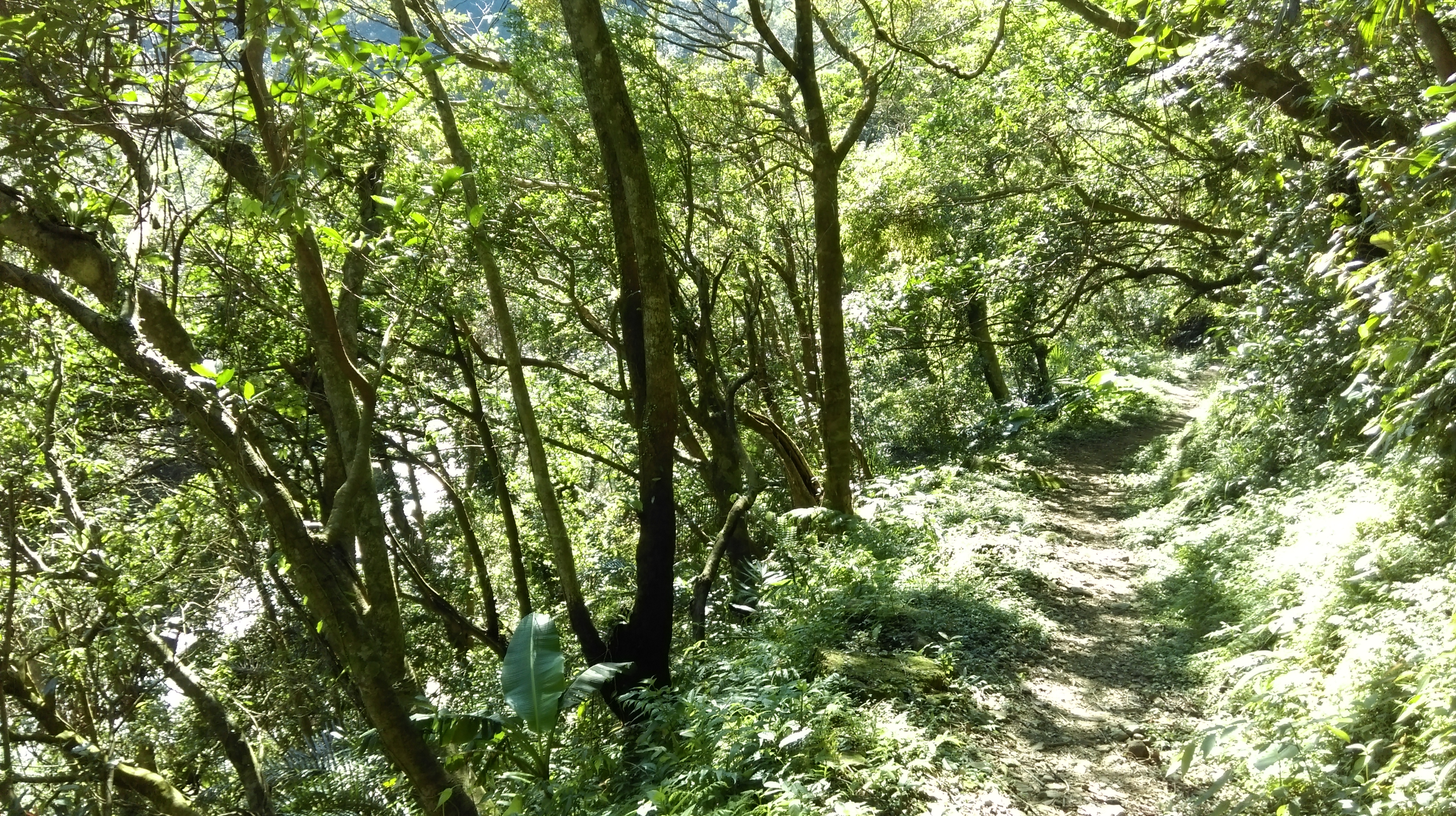
After the rocks the trail climbs away from the stream a bit emerging along a wide flat track.

flat section of trail
Going back down to the stream again the trail crosses another log bridge.
another small log bridge
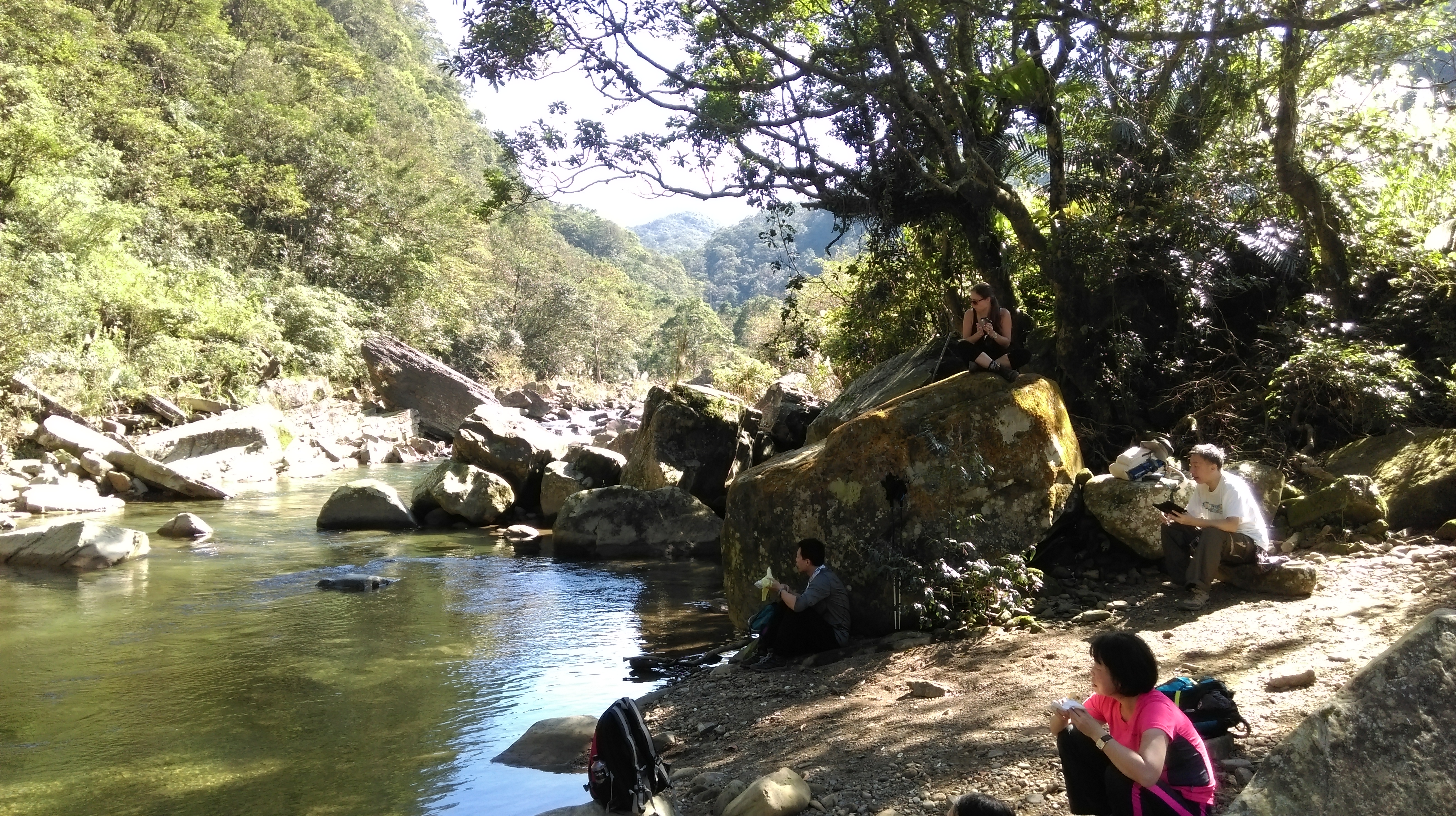
After the bridge the trail goes along side a large tranquil pool. There is a natural dam in the river here with a pool of clear water on one side and rushing rapids on the other. WARNING: people have drowned swimming here, not recommended!

nice calm waters
Then its another short rocky climb up away from the stream emerging again onto a wide flat track. After this, its back along the main stream across another log bridge.

another log bridge
After the bridge the trail follows above the stream on a narrow rocky ledge.
trail along a narrow ledge
More rocky sections lead over another log bridge then going high above the stream along the hillside on a narrow trail.

hiking above the stream
The trail emerges from the trees along the stream and merges onto the end of a dirt track.

near the end of the trail
Follow the track to a farmhouse and a road, then turn left and cross the bridge.

cross the bridge
After the bridge the road turns right. Keep going straight following the road along the stream and past a Land God shrine.
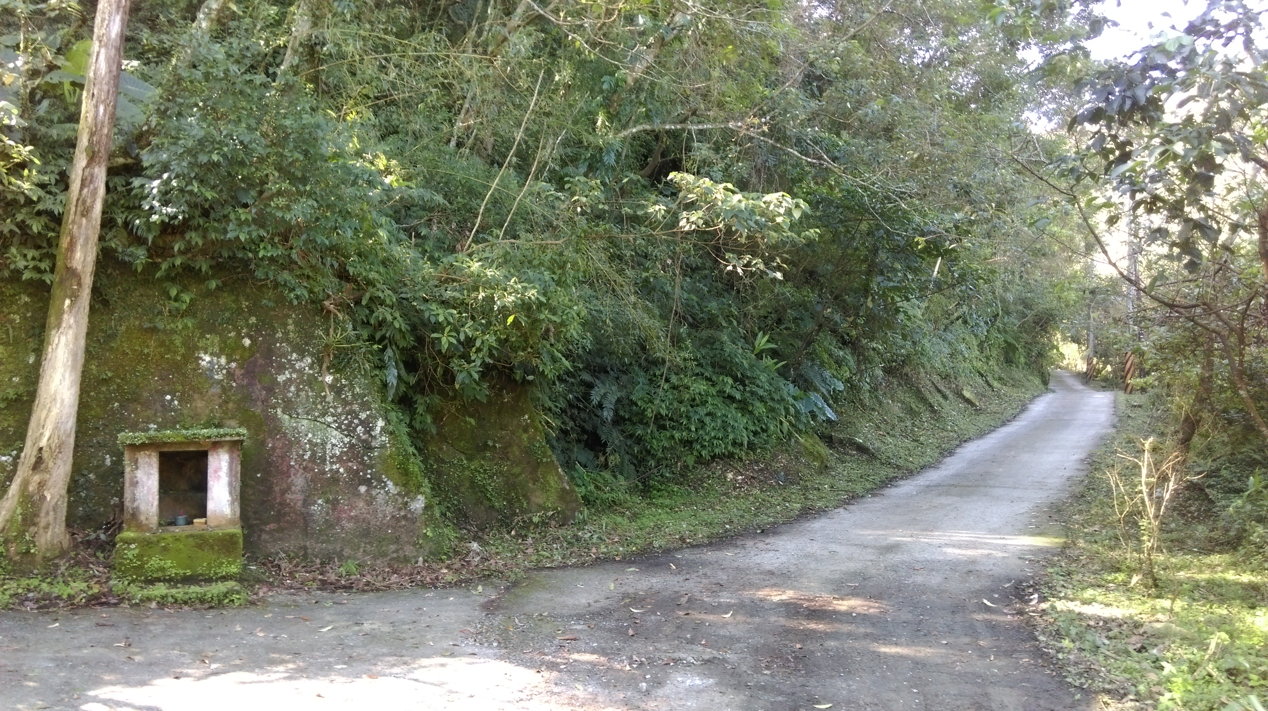
walk along the road past the Land God shrine
After a few hundred meters the road crosses another stream and comes a small shrine. There is another great swimming spot between the two bridges here where the streams merge.

cross the bridge where the two large streams merge
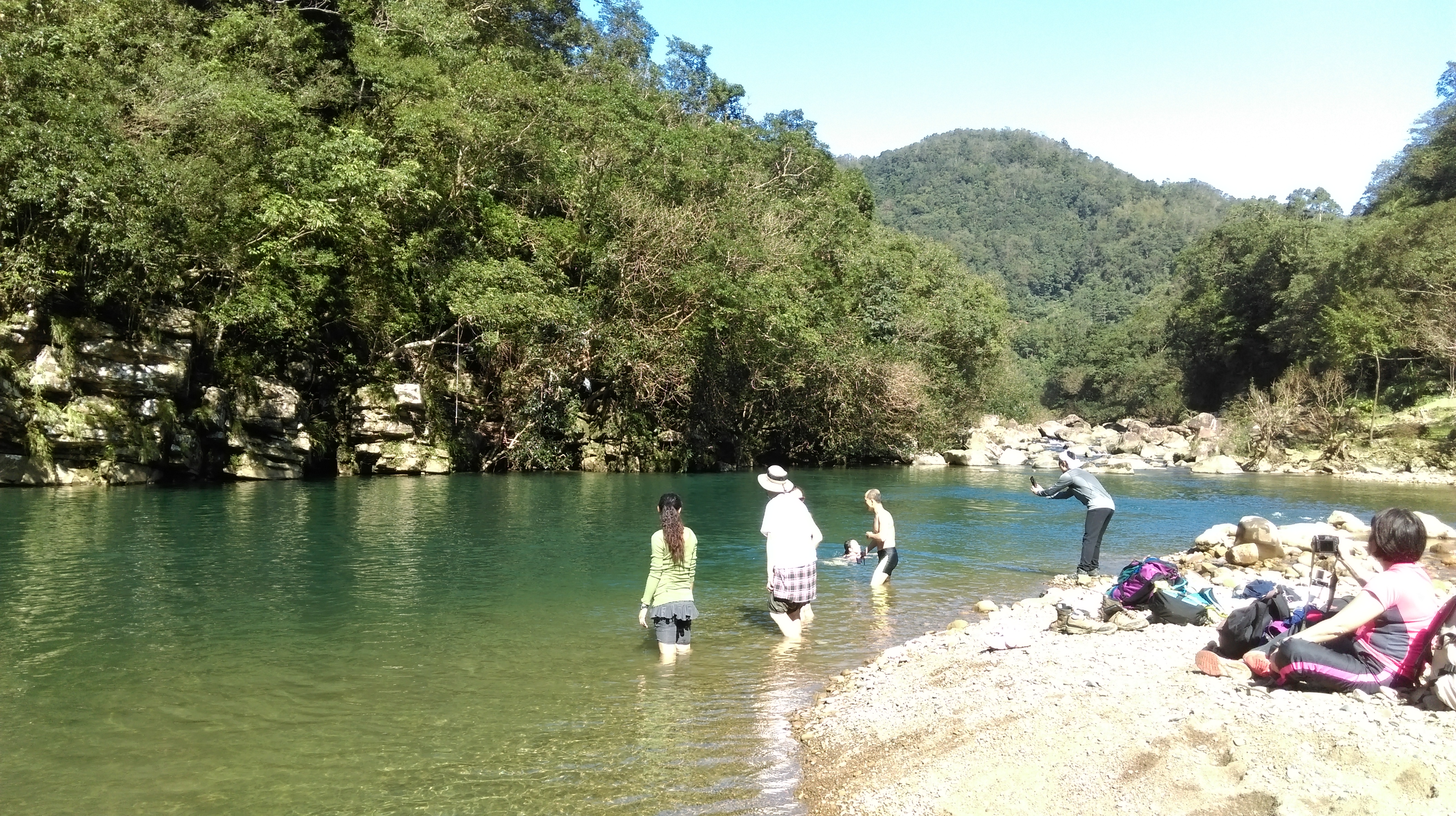
time for a swim
The next section of trail starts from the small temple located between the two bridges starting as a small road which soon becomes a narrow trail going along the ledge high above the stream.

hike continues here next to the small temple
trail along the ledge passing a trail marker
This short section of trail ends at another road. Keep going straight then turn left when this road ends at a small parking lot. The trail is now signposted in English for Wantan. There is map of the trails in the area in the parking lot as well.

this short section of trail ends at a road, keep going straight

turn left here
Go straight on the road climbing upwards until you come some stairs leading off the road at a sharp turn.

trail leaving the road
The trail climbs up along a stone wall behind a farmhouse then goes along a ledge above the stream.

trail going behind a farmhouse
hiking towards Wantan
Eventually the trail comes back to stream level, leaves the trees, and cuts through an area of grass. There is an abandoned farmhouse here. The trail is a bit overgrown through this area. There is also another good spot to access the river here.
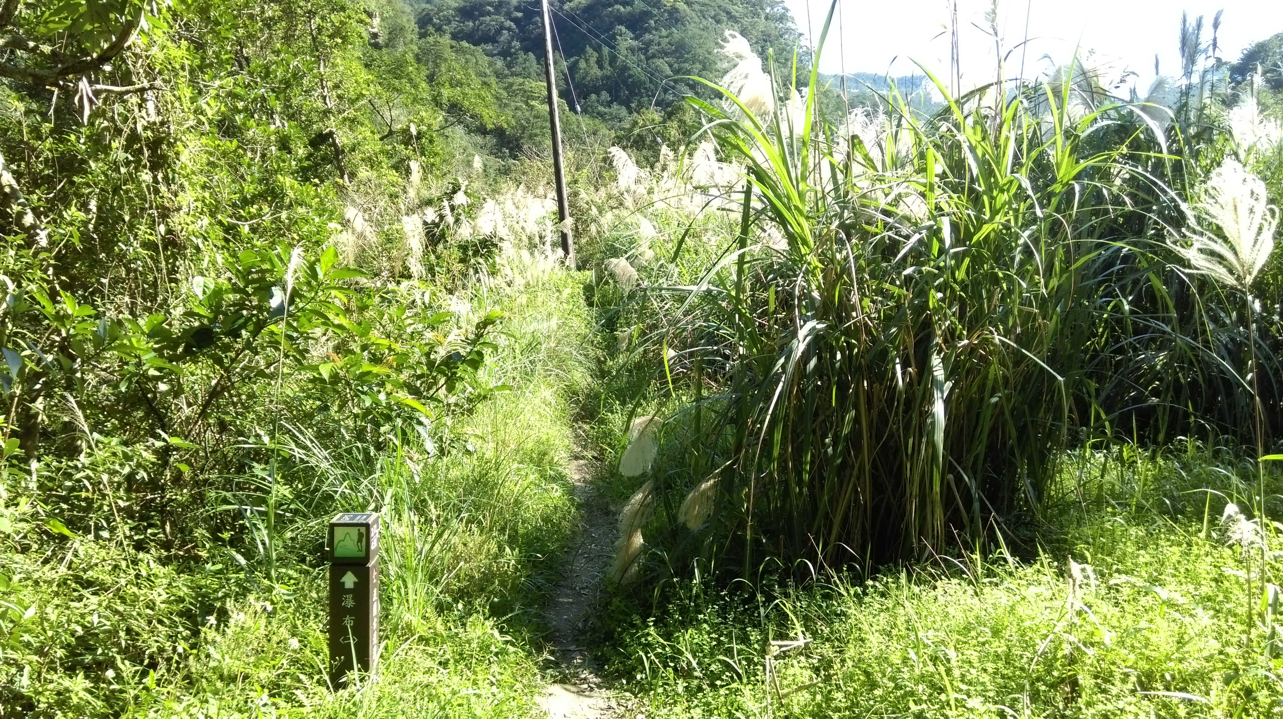
trail entering grasses
taking a rest by the stream
At the end of the grassy area, the trail crosses a stream over rocks then goes along a narrow ledge above the river again.

stream crossing

trail above the stream
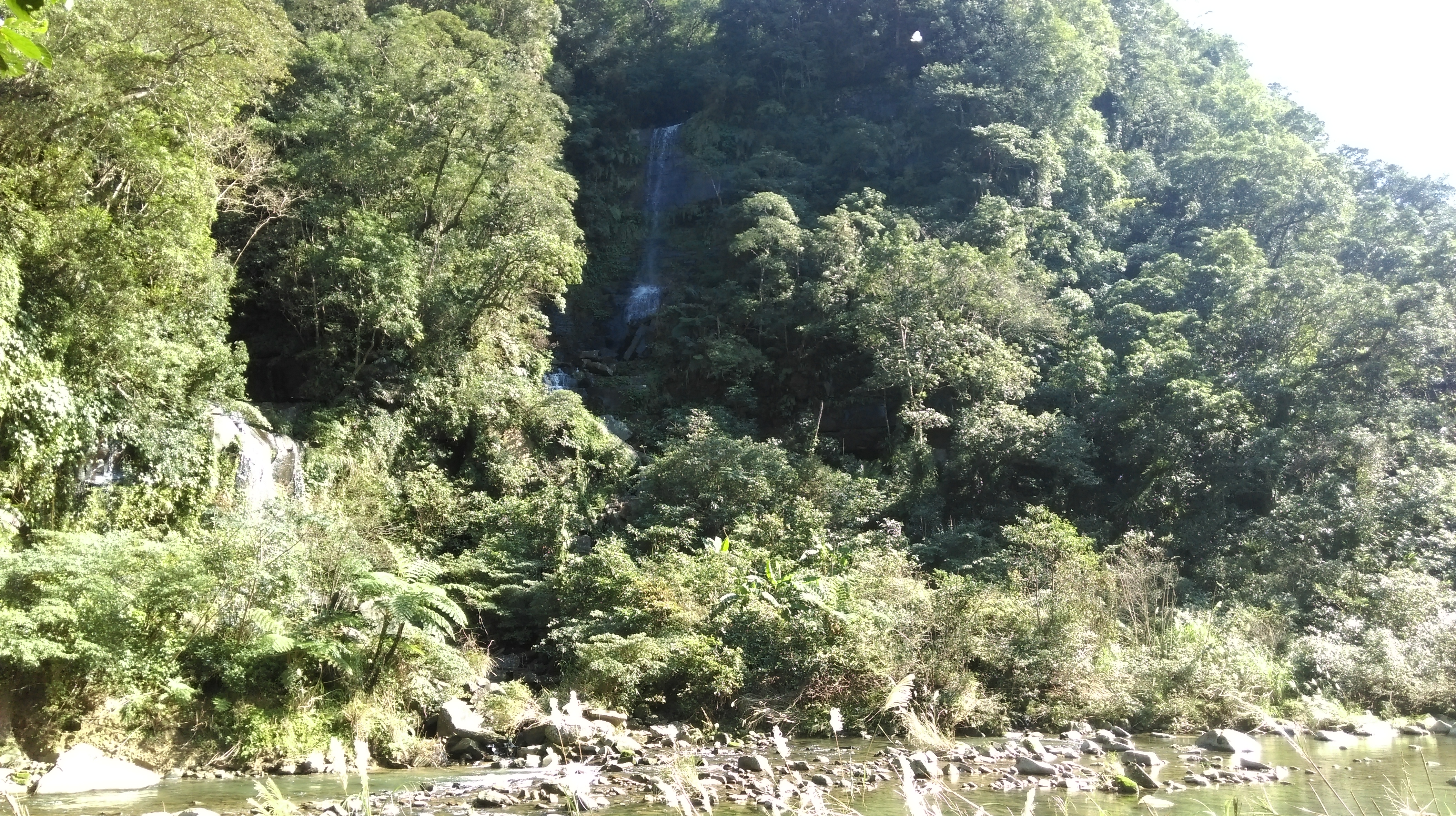
There is a landslide area and another log bridge crossing further on. The returns to river level and passes by a double waterfall on other side, marked on the trail map as Dream Pool.
Dream Pool waterfall
hiking along the stream
A little further there is another stream crossing over rocks in front of another waterfall.

stream crossing in front of another waterfall
Shortly after the waterfall the dirt trail changes to a gravel trail.

gravel trail
A little further getting closer to the end the trail then changes to a stone trail and passes a Land God shrine.

stone trail

Land God shrine near the end of the trail
From the end of the trail walk along the road to bus stop up ahead. This hike can be combined with the Dan-Lan 2 hike by catching the bus at 2:00 and getting off at the next stop, the start of that hike.

bus stop at Wantan
Map of the Hike
