Red Leaf Valley/XiaoGuanyinShan Ridge Hike
Yangmingshan National Park
This hike is on the northern slopes of Yangmingshan. The hike follows the stream up Red Leaf Valley passing Red Leaf Waterfall on the way, then climbs up through bamboo to the top of XiaoGuanyinShan, goes along the top of the grassy ridge, and finishes at the Erziping car park.
Access: take bus 876 from Tamshui MRT Station leaving at 9:30 and get off at the Houdian (後店) stop.
Trail Conditions: rough dirt trails, short rope sections, steep drop-offs, steep climb through the bamboo, bridgeless stream crossings (depending on water level you may have to get your feet wet)
This hike should only been done if there has been at least a couple of days without rain on the northern slopes of Yangmingshan. The steep trail is impossible to climb in muddy conditions.
Long pants are recommended for this hike as low lying plants with thorns along the grassy ridge can cut legs.
There are no trail maps or signs on this hike.
Length: 13 km, 6.0 – 6.5 hours
The Hike
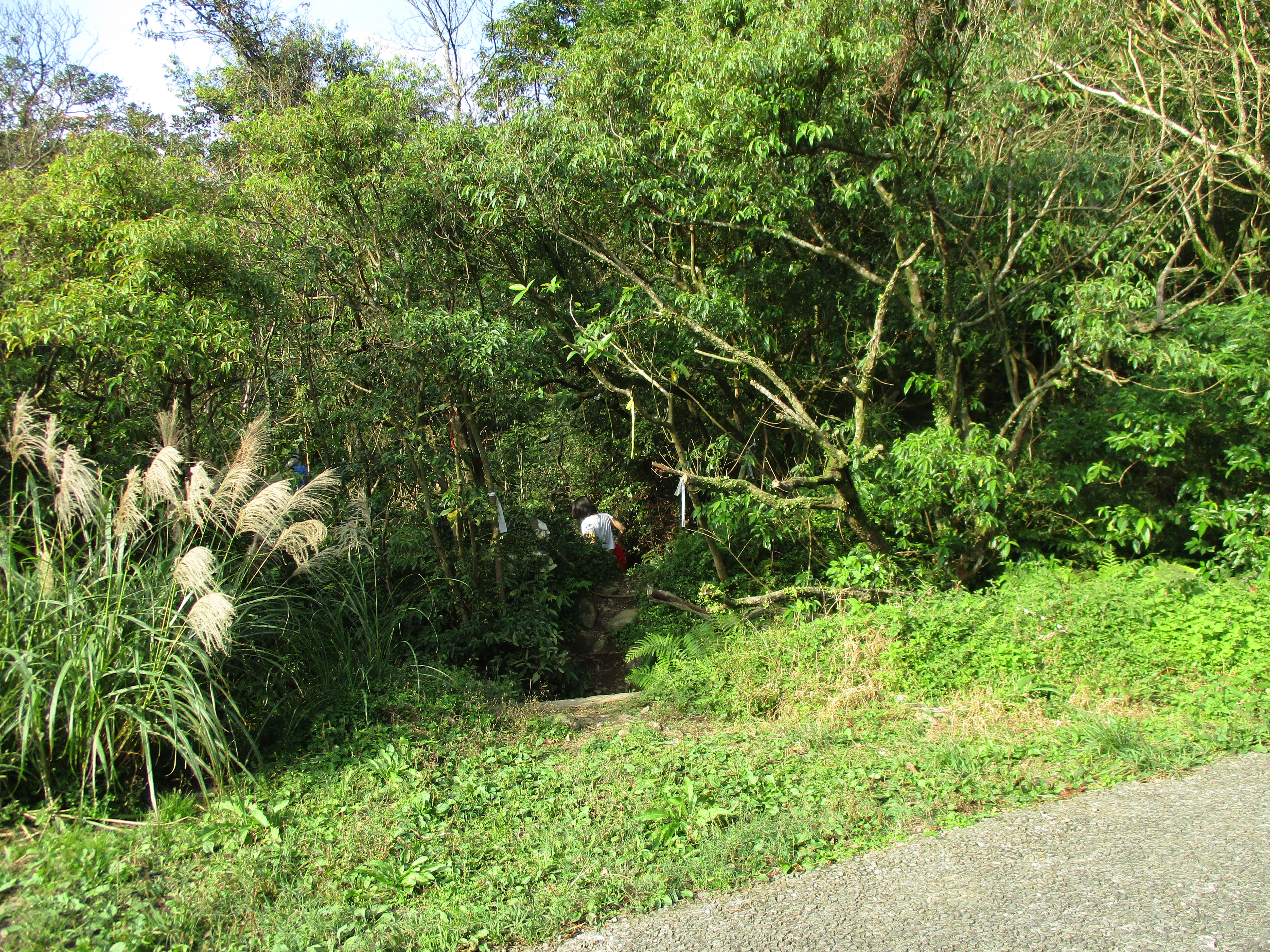
There are public washrooms in the small park across the road from the bus stop. From the bus stop it is about a 3km road walk to the trailhead. See the map at the bottom of this page for how to walk to the trailhead. Near the end of the road walk you’ll pass a hand statue. Turn right here and the trailhead is a few hundred meters down the road.
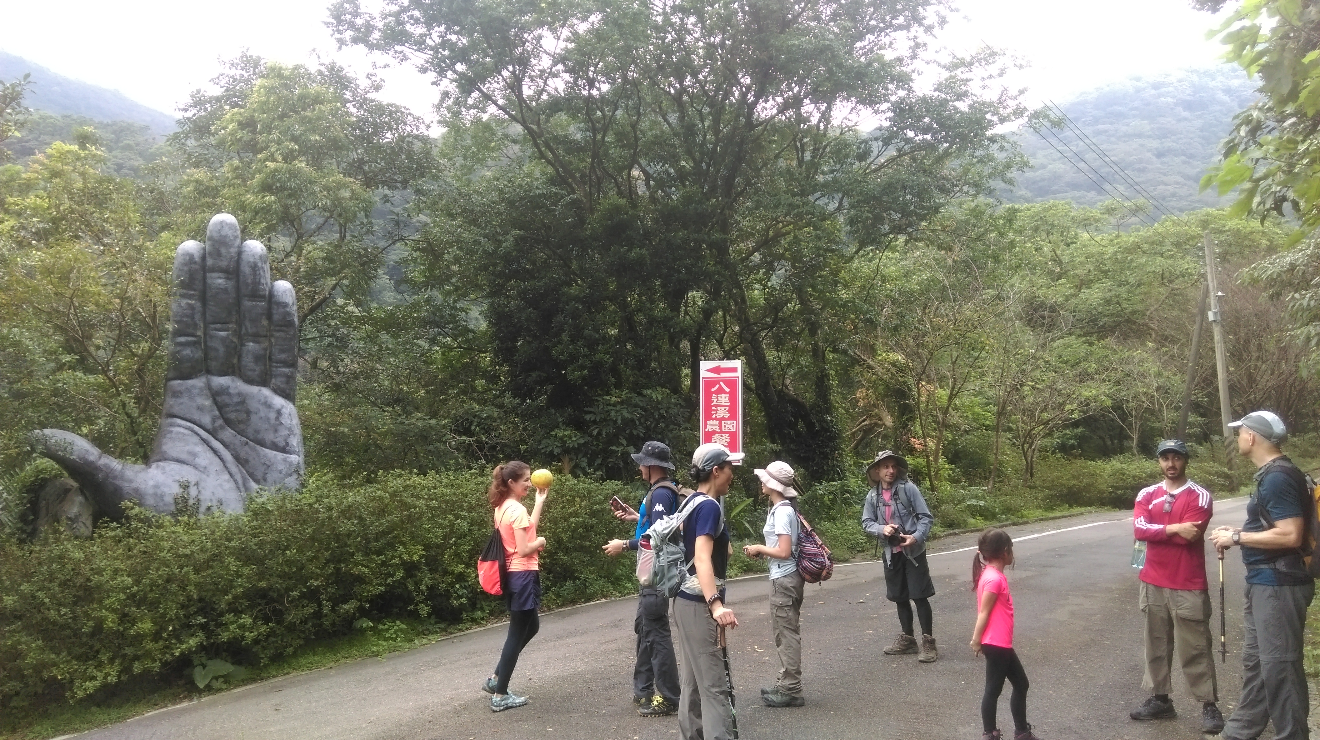
hand statue
There are no signs at the start of the trail. From the trailhead it takes about 1 hour to hike to Red Leaf Waterfall. The trail from here to the waterfall is fairly easy.
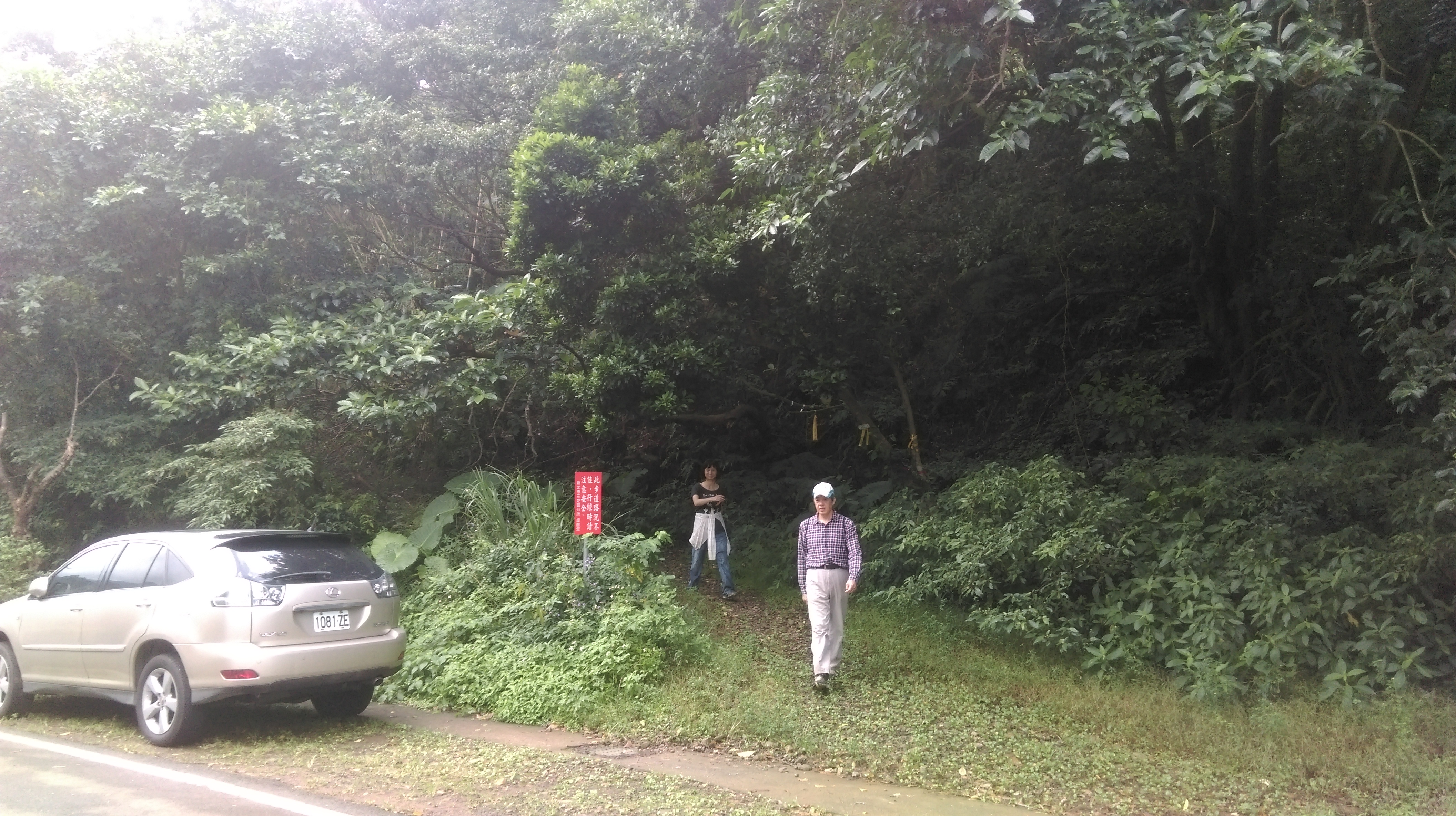
trailhead
The relatively flat easy trail starts the hike reaching the first stream crossing in about 20 minutes.
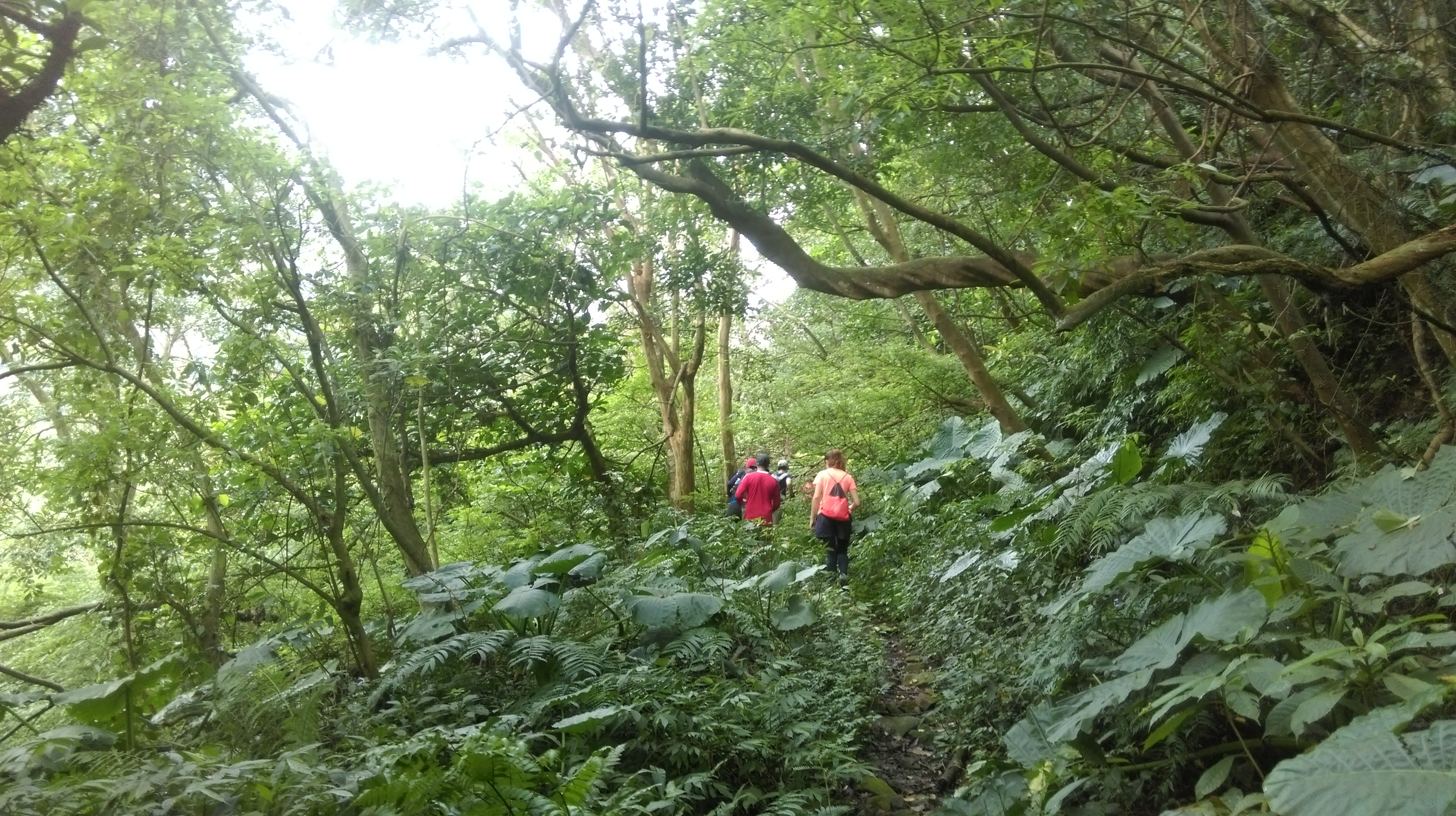
easy start
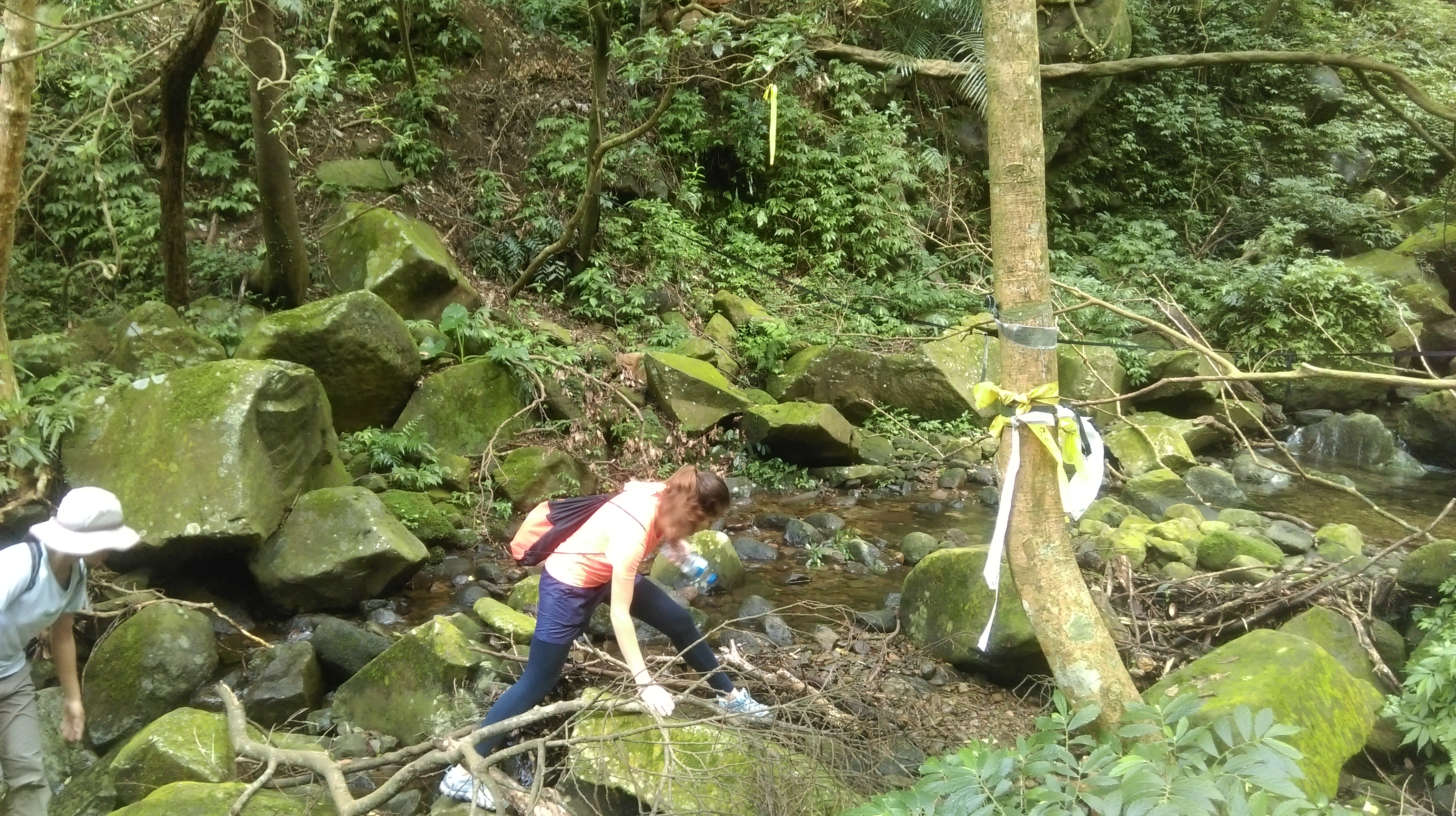
On my last visit here a log had been placed across the stream to cross on.

stream crossing
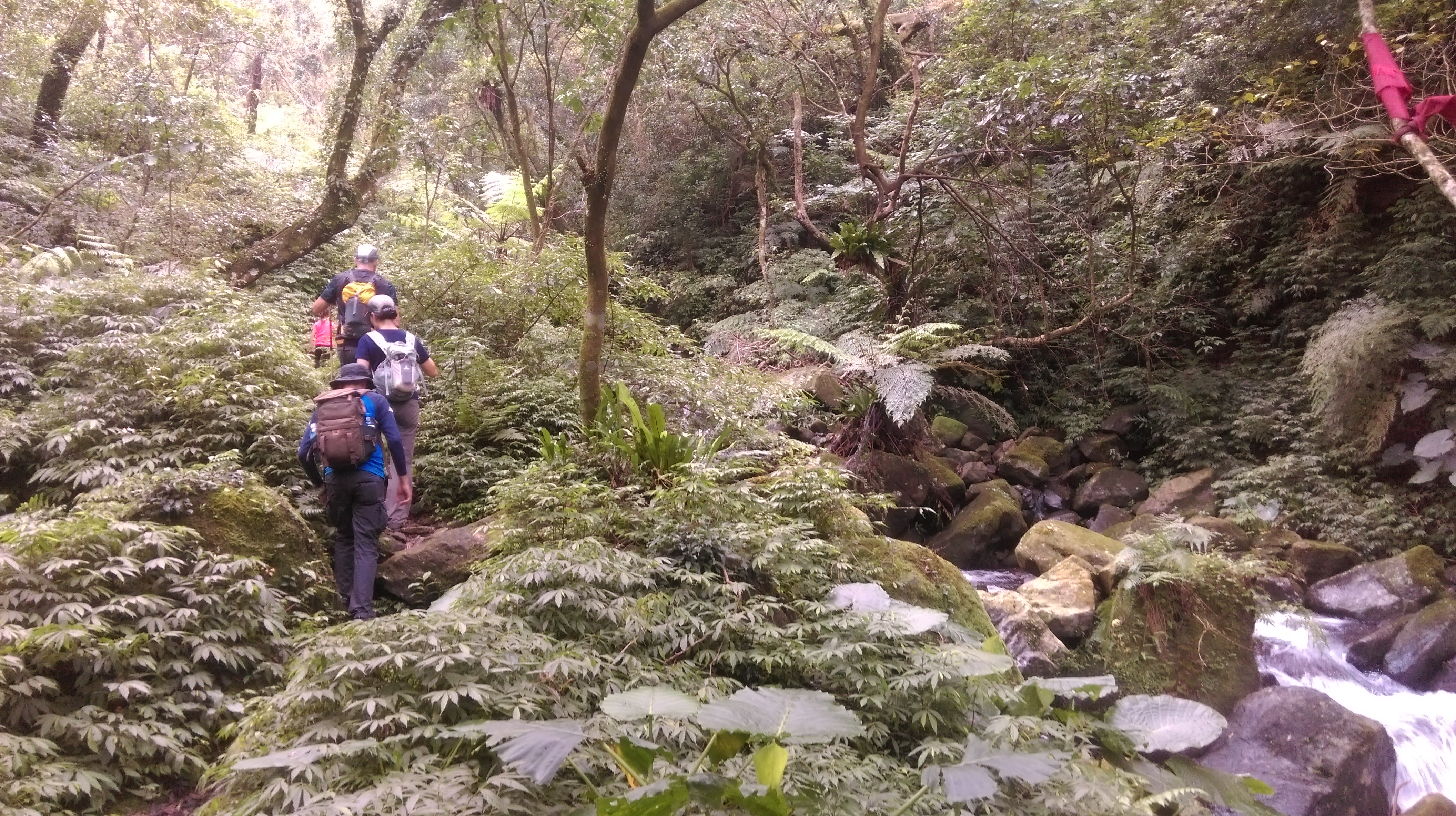
From here the trail follows the left bank of the river to the waterfall.

hiking along the left bank away from the stream crossing
The trail crosses a small tributary stream makes a turn to the right.
tributary stream crossing
Further on the trail passes some now barely visible ruined terraced walls.

climbing up a terrace wall
The trail starts to climb more steeply as it gets closer to the waterfall.
climbing towards the waterfall
Go straight a trail junction just before the waterfall.
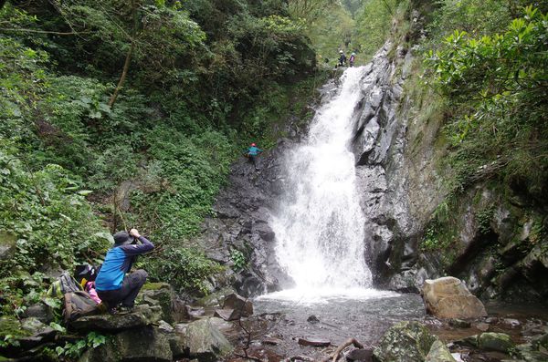
Red Leaf Waterfall
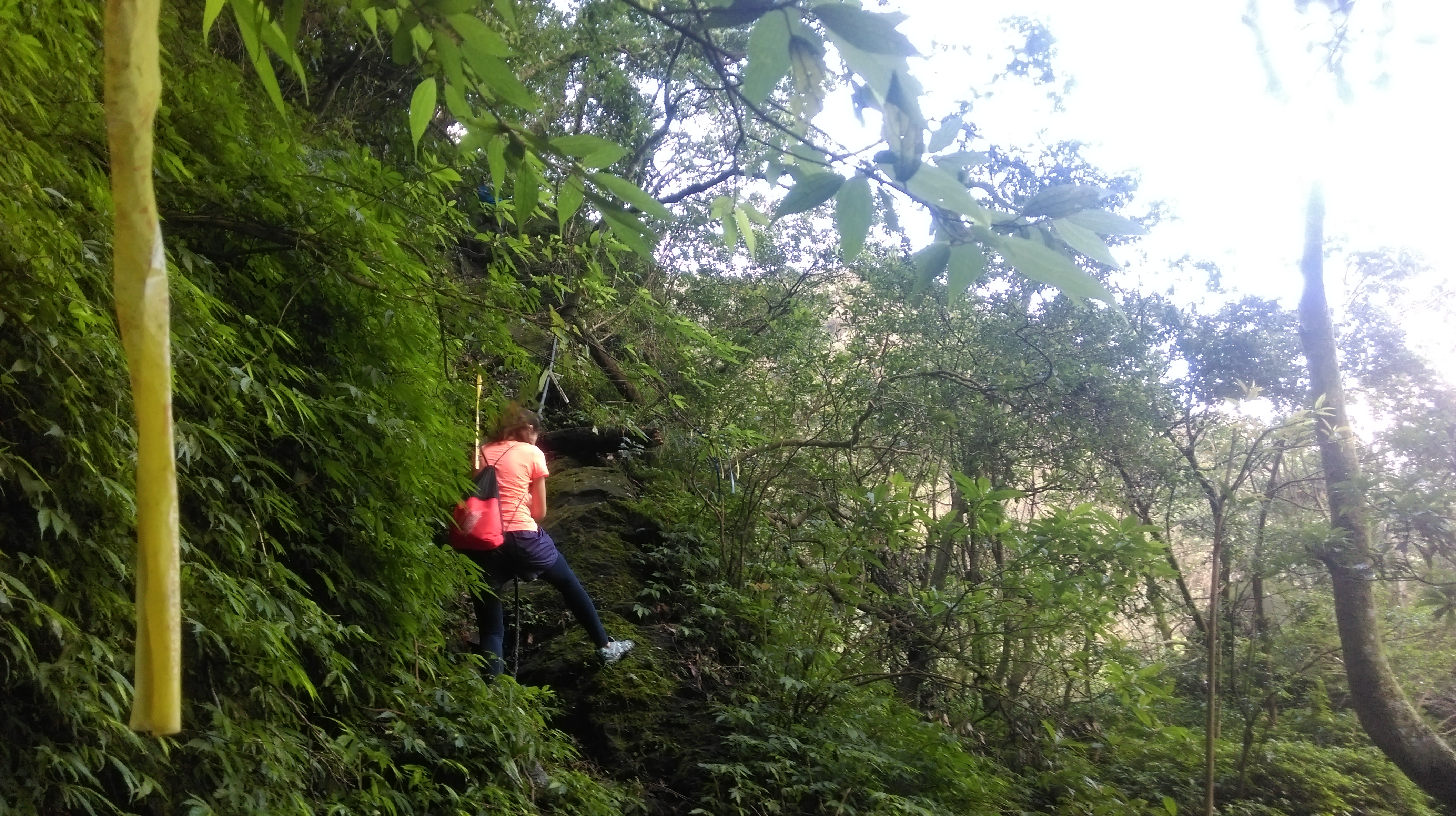
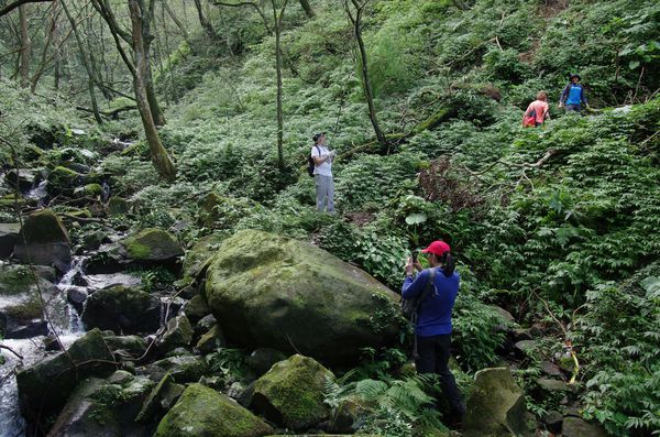
After the waterfall return back down to the last trail junction at keep following the trail going up. After the waterfall the trail becomes narrower, steeper, and much rougher. The trail zig-zags up past the waterfall and clings to the steep hillside with ropes to hold onto.
zig-zagging past the waterfall
narrow trail on the steep hillside
A short rope section completes the climb.
rope climb
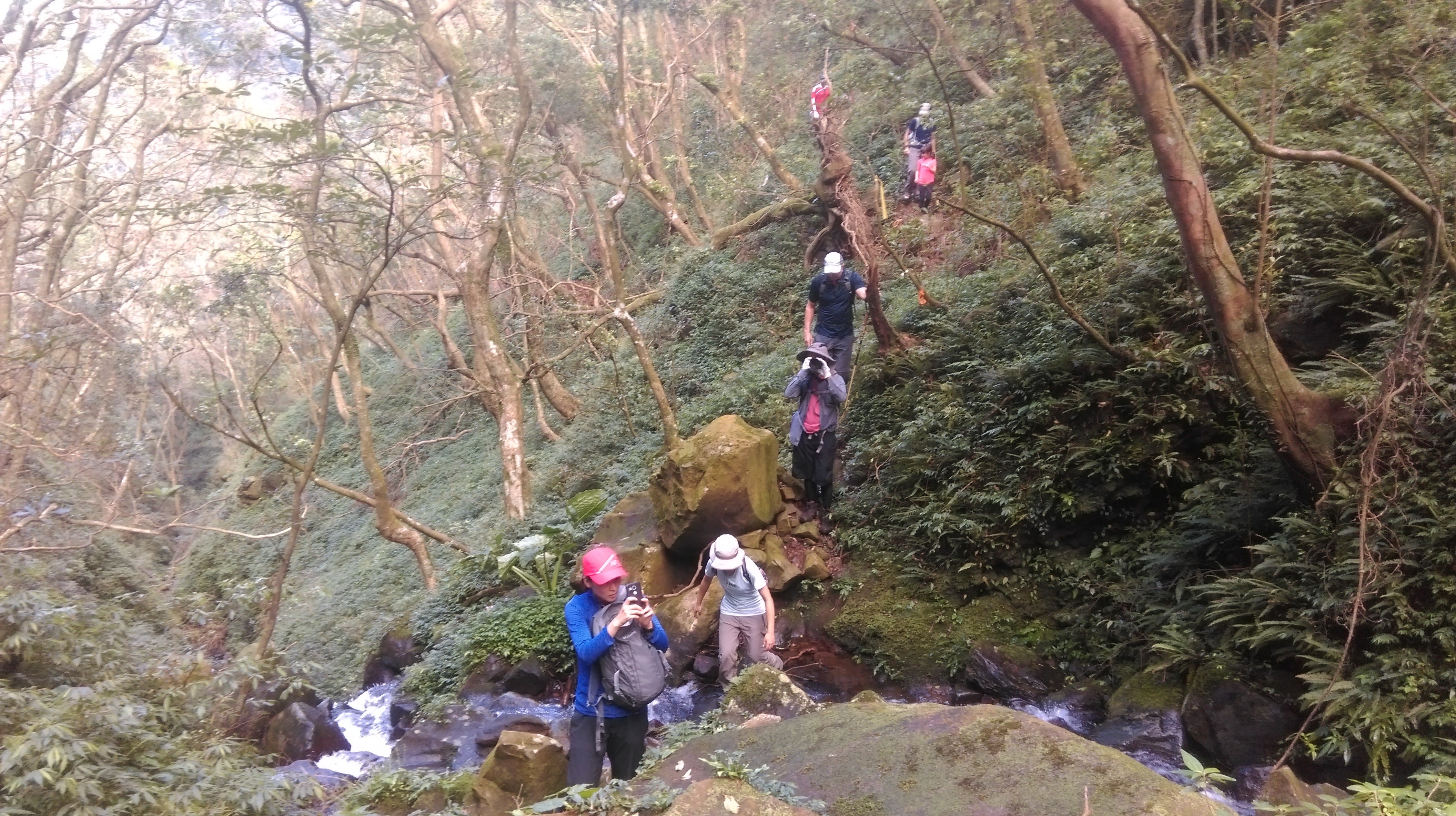
Fork right at a trail junction at the top of the rope climb, going slightly downhill back to the stream and crossing at the bottom. You may have to get your feet wet here depending on the water level.
fork right at top of the rope going downhill
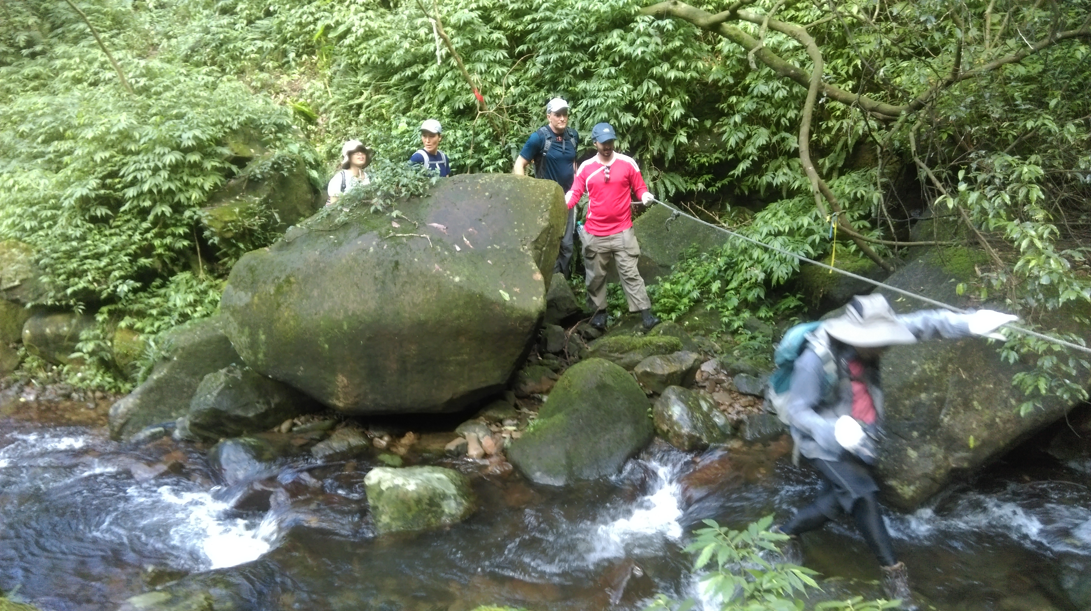
stream crossing
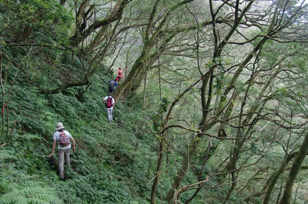
From the crossing the trail continues along the steep hillside with more ropes to hang onto.
trail clinging to the steep hillside
Another small stream crossing is then followed by a steep climb.
another stream crossing
Then it’s along the steep hillside again towards another stream crossing. You may need to get your feet wet here too.
steep climb after the crossing
After the crossing the trail makes a short steep climb with ropes then doubles back clinging to the hillside once again.
another stream crossing

rope climb after the crossing
along the steep hillside again
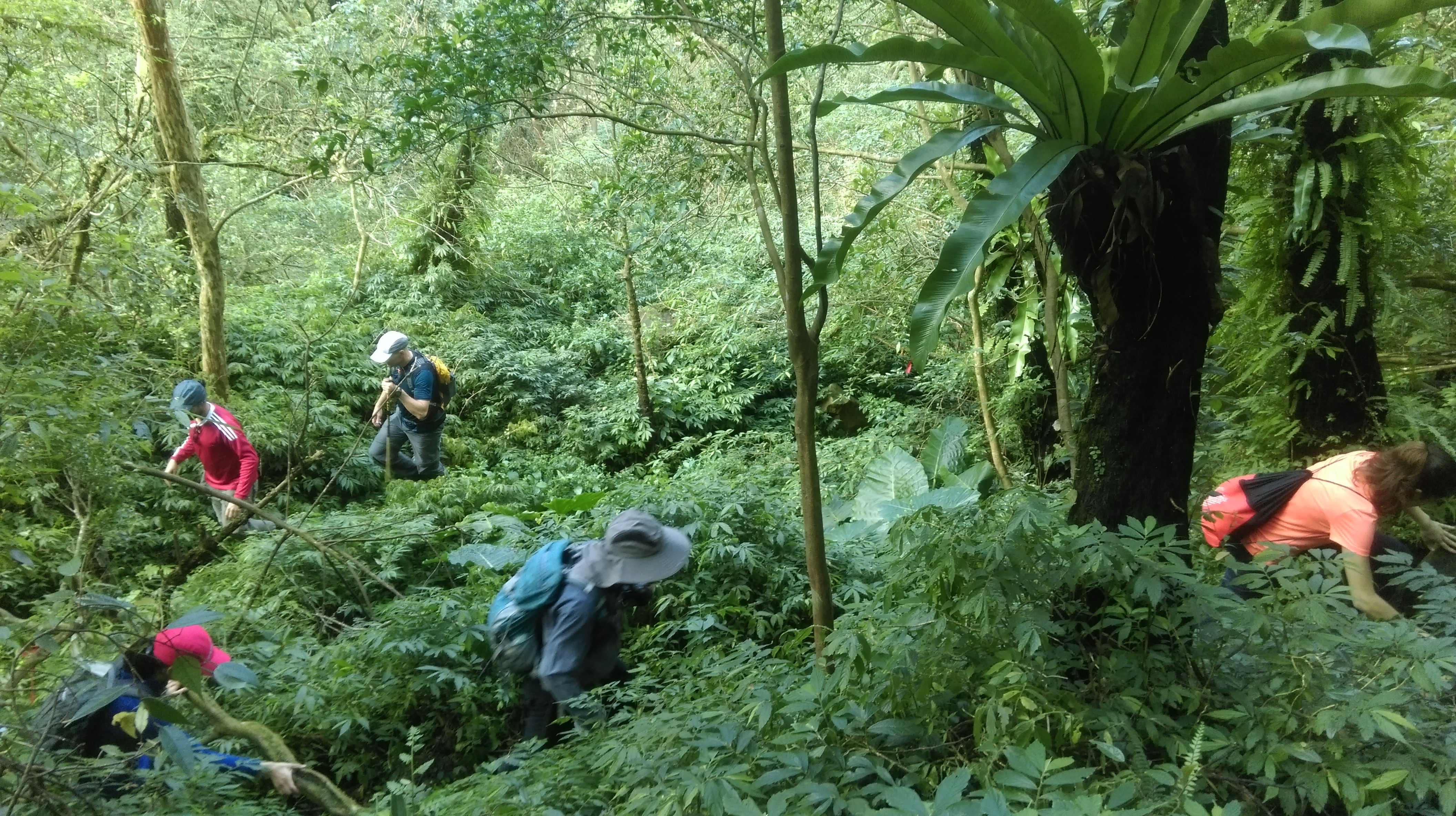
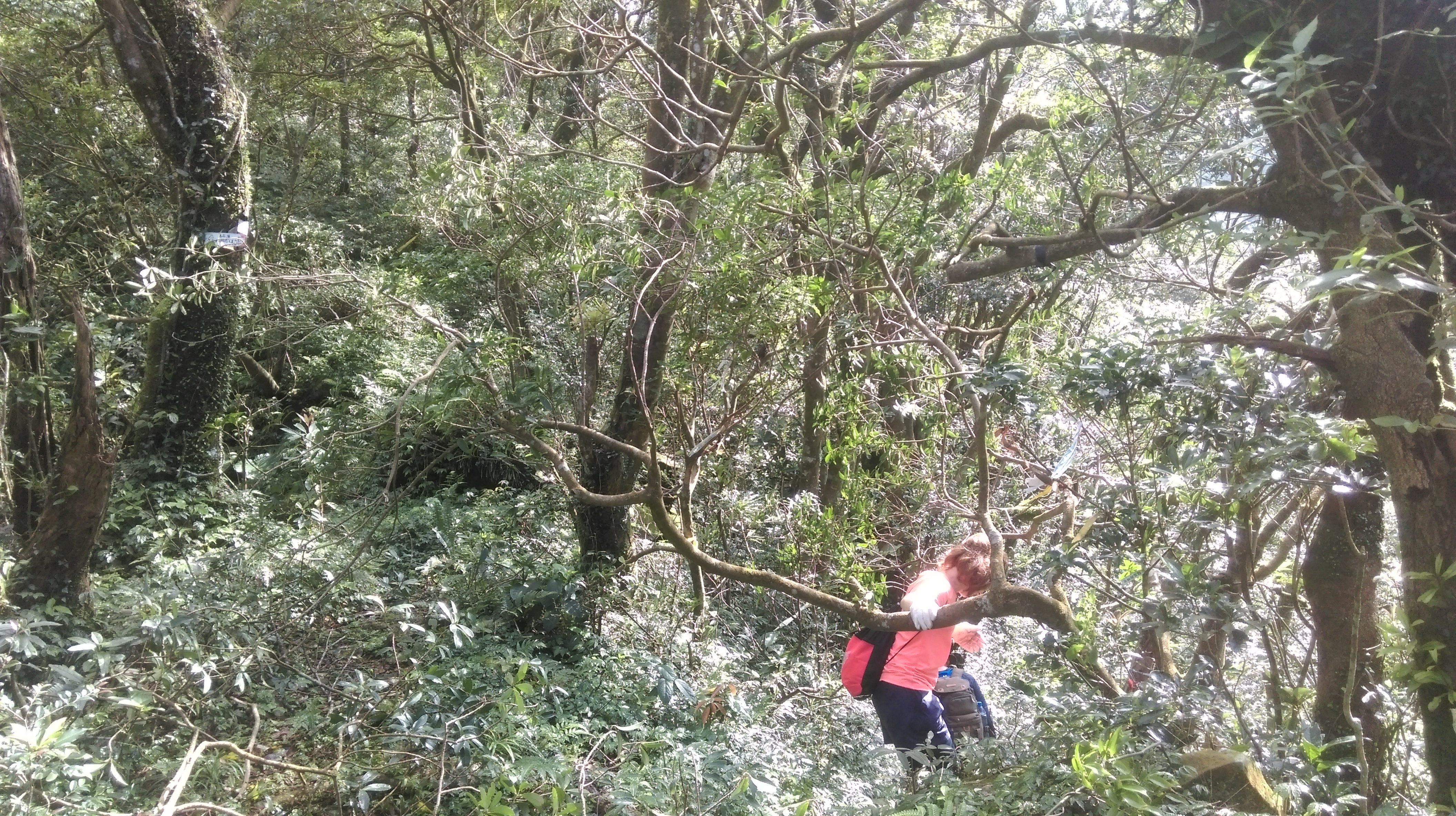
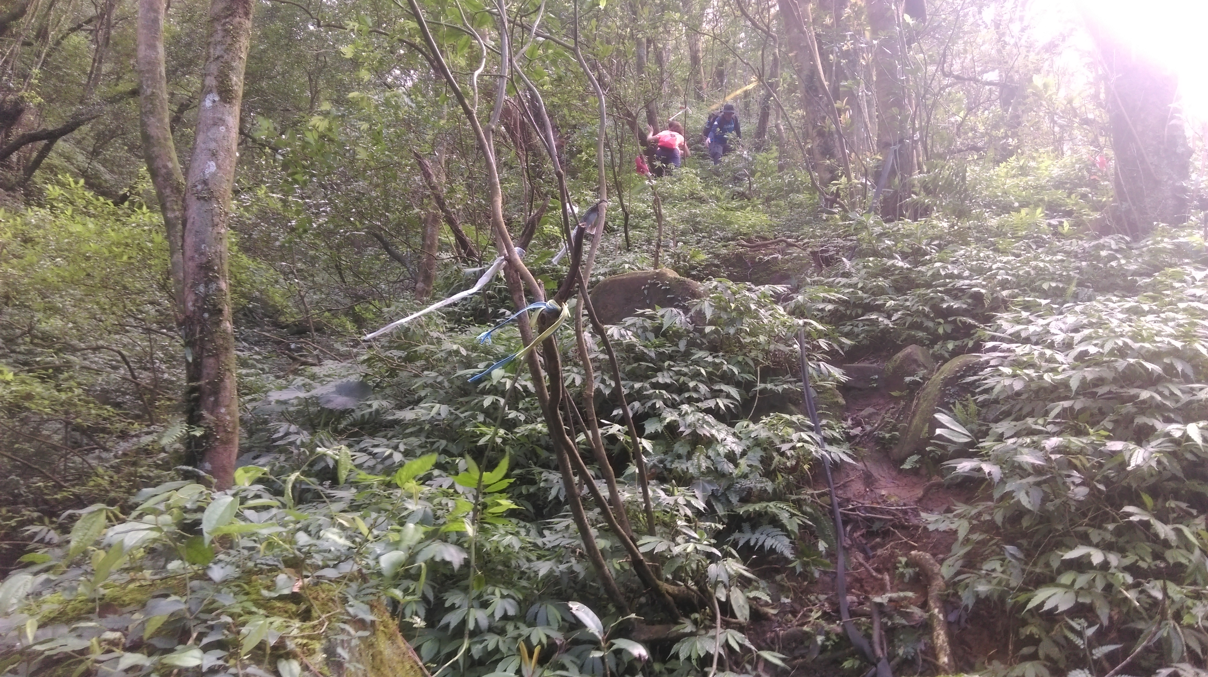
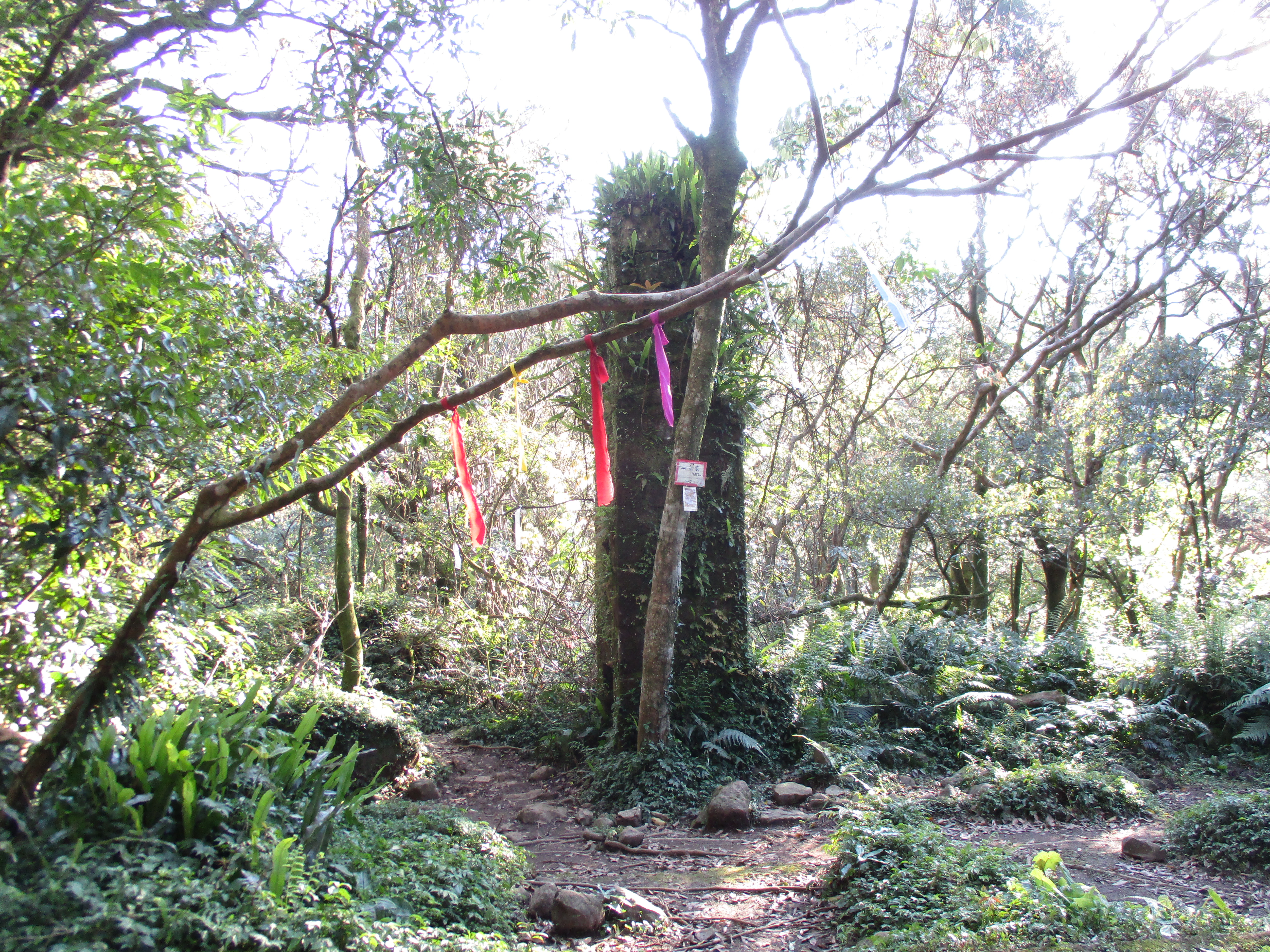
After one last small stream crossing the trail climbs up and cuts through a bamboo grove.

cutting through a bamboo grove
Turn left at a trail junction after the bamboo.

trail junction after the bamboo grove, turn left here
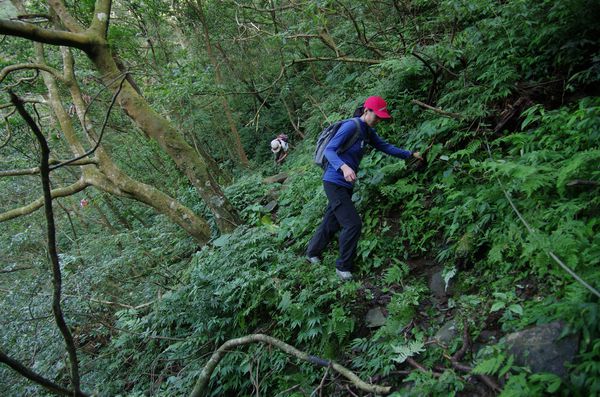
The trail cuts through more bamboo and soon comes to another trail junction. Keep going straight here continuing the climb. From this junction it is about a 20 minute very steep climb through the bamboo to the top of the ridge.
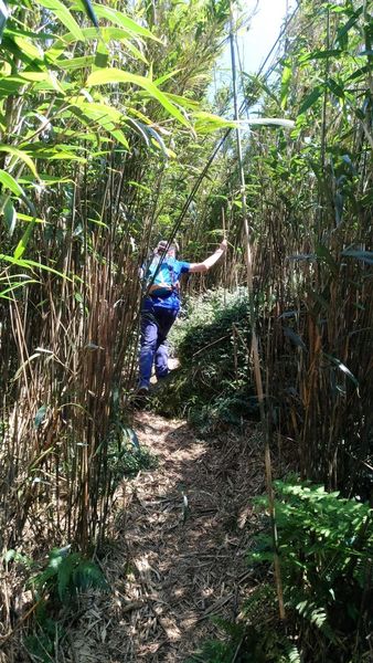
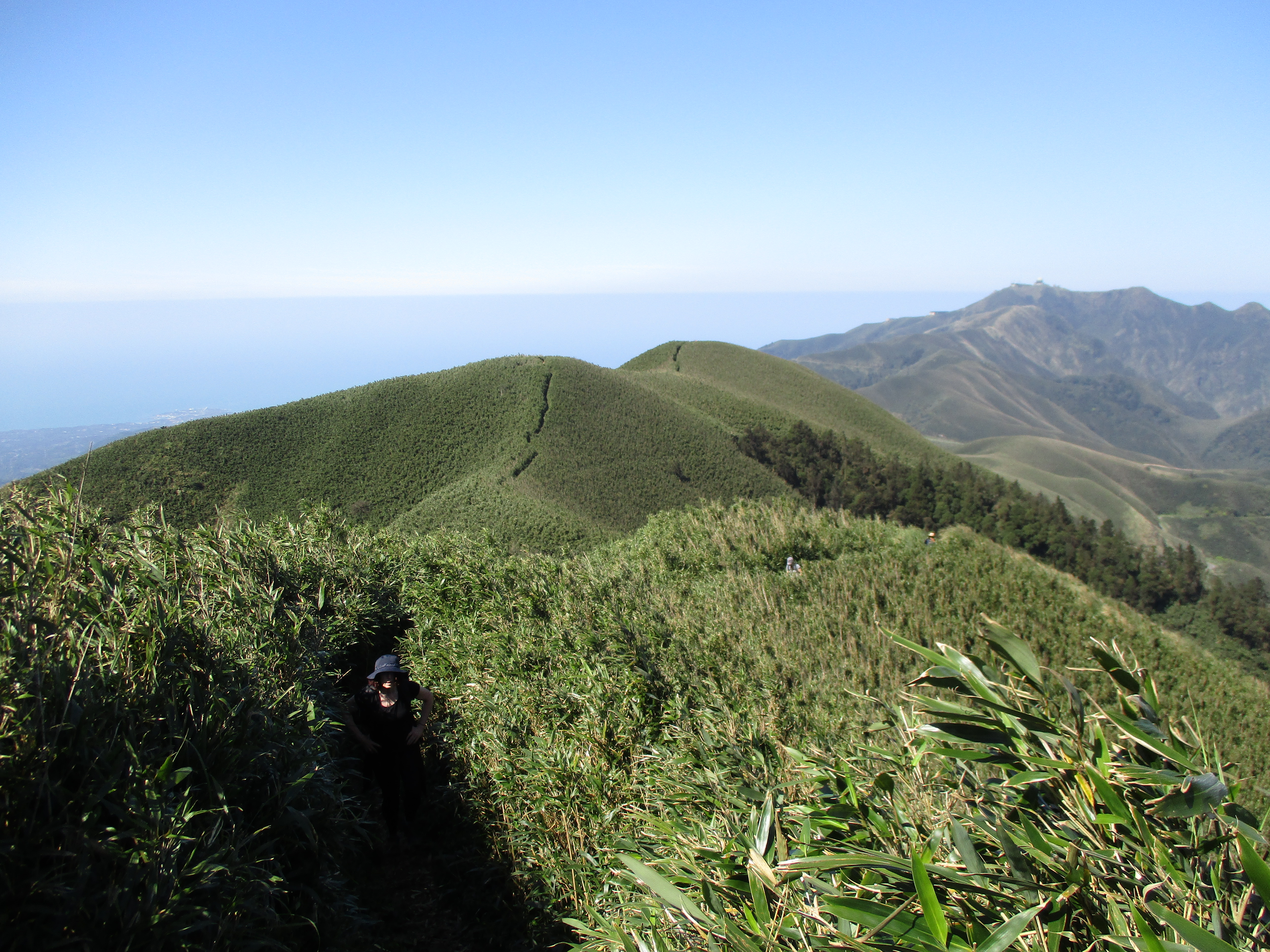
steep climb through the bamboo
Just before the top the trail passes a large rock.
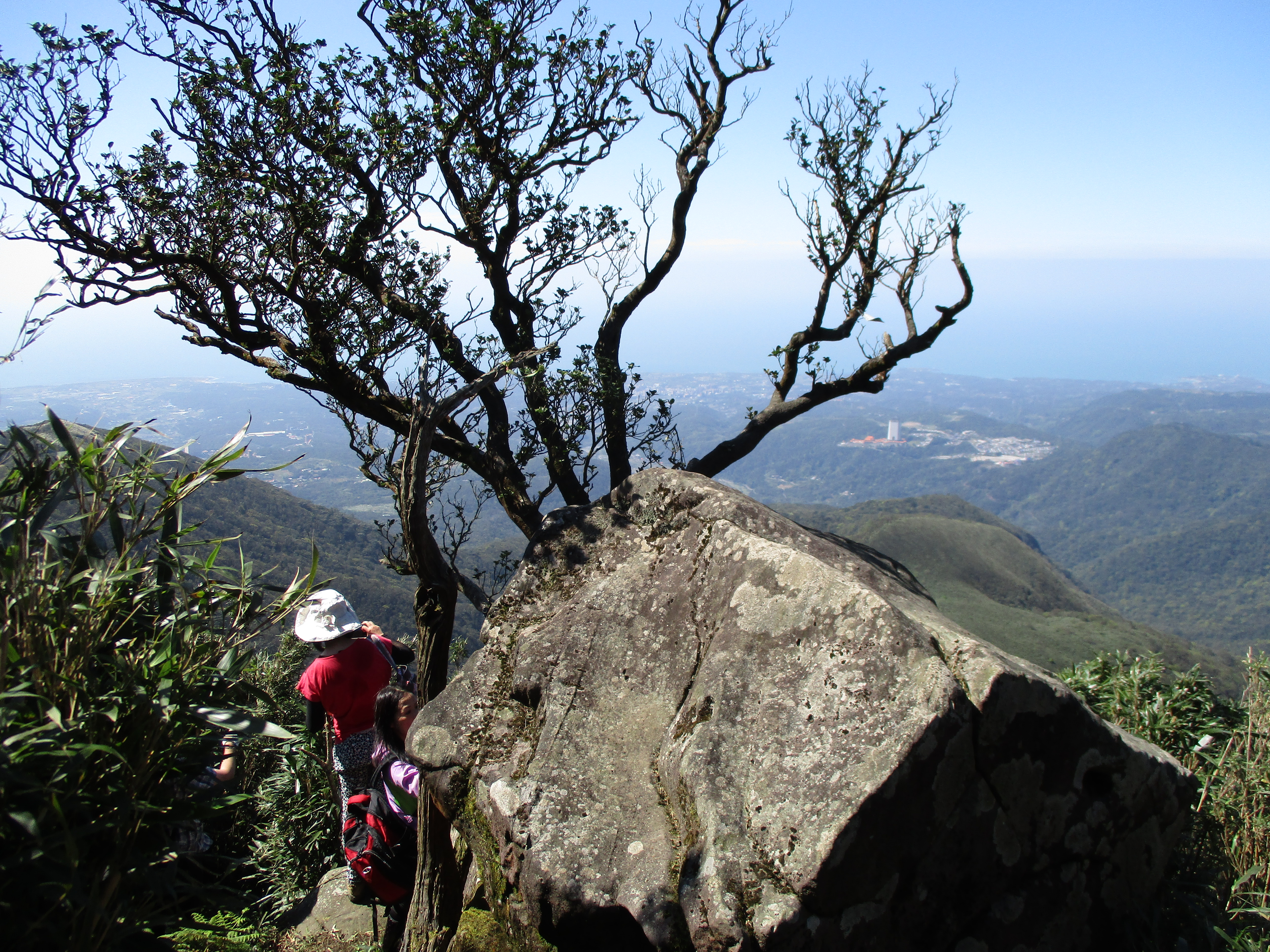
rock near to top of the climb
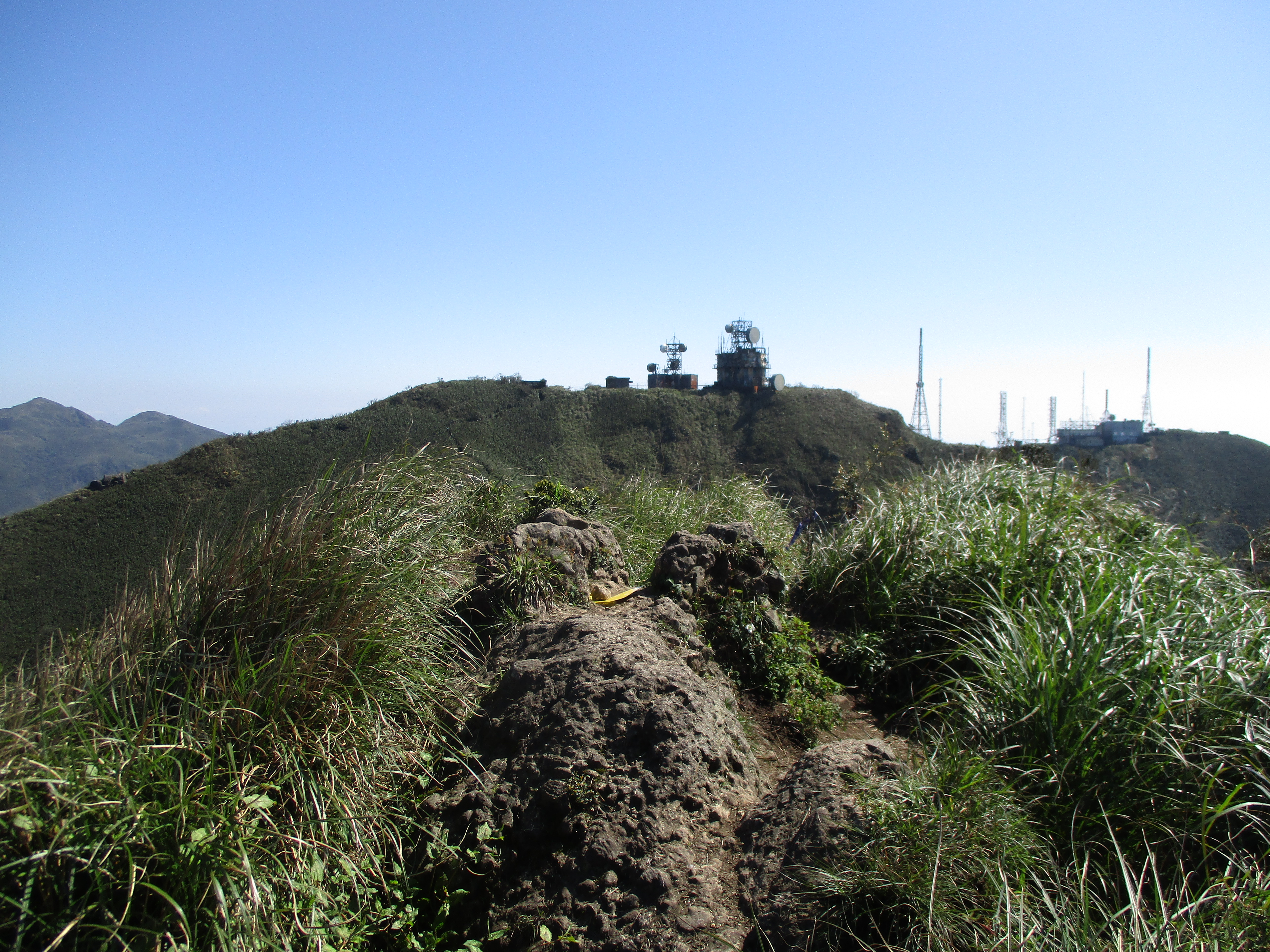
At the top the trail turns right and goes along the top of the ridge towards the communication towers.
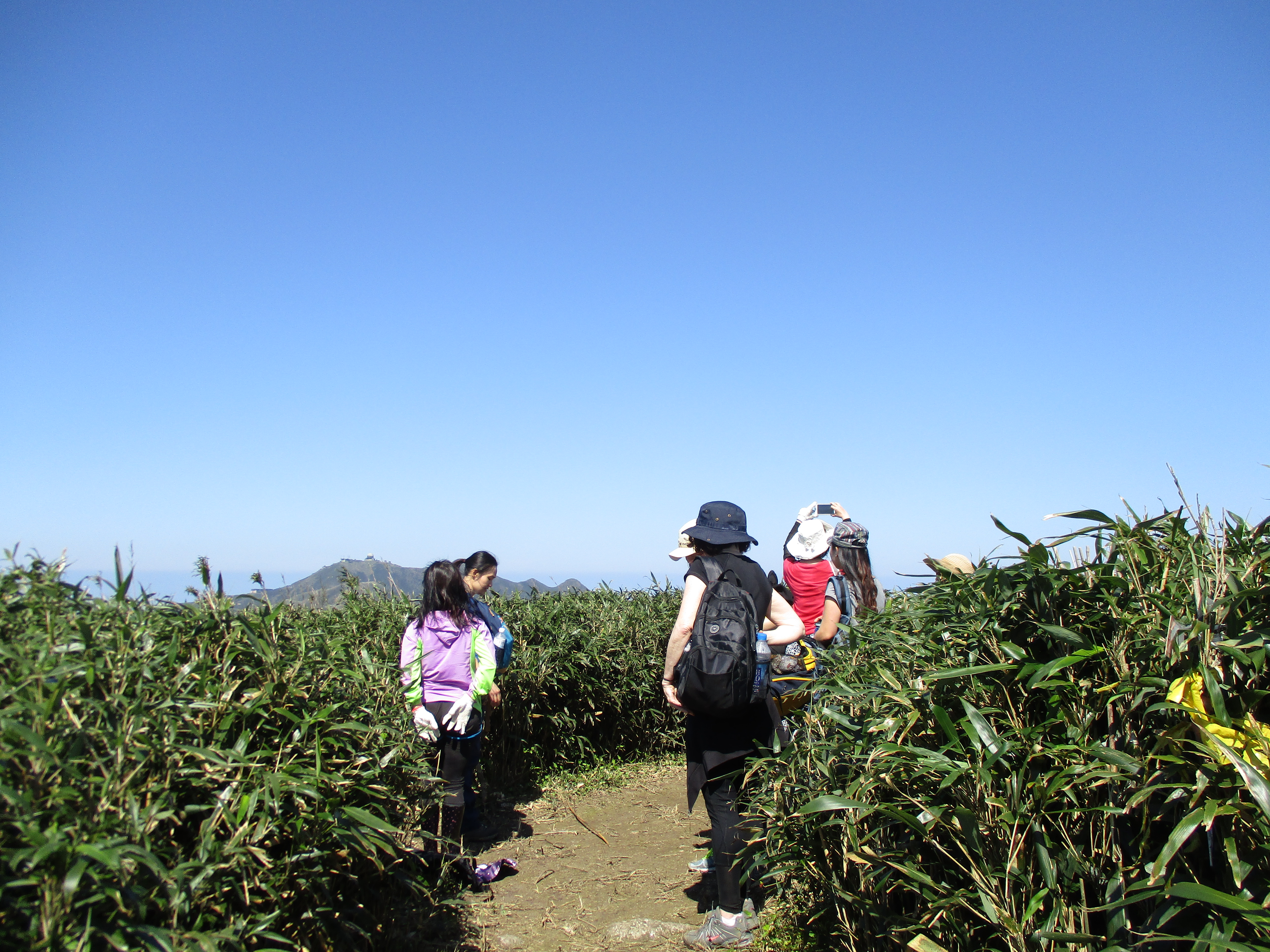
on the top of the climb
Fork left at a trail junction along the ridge.
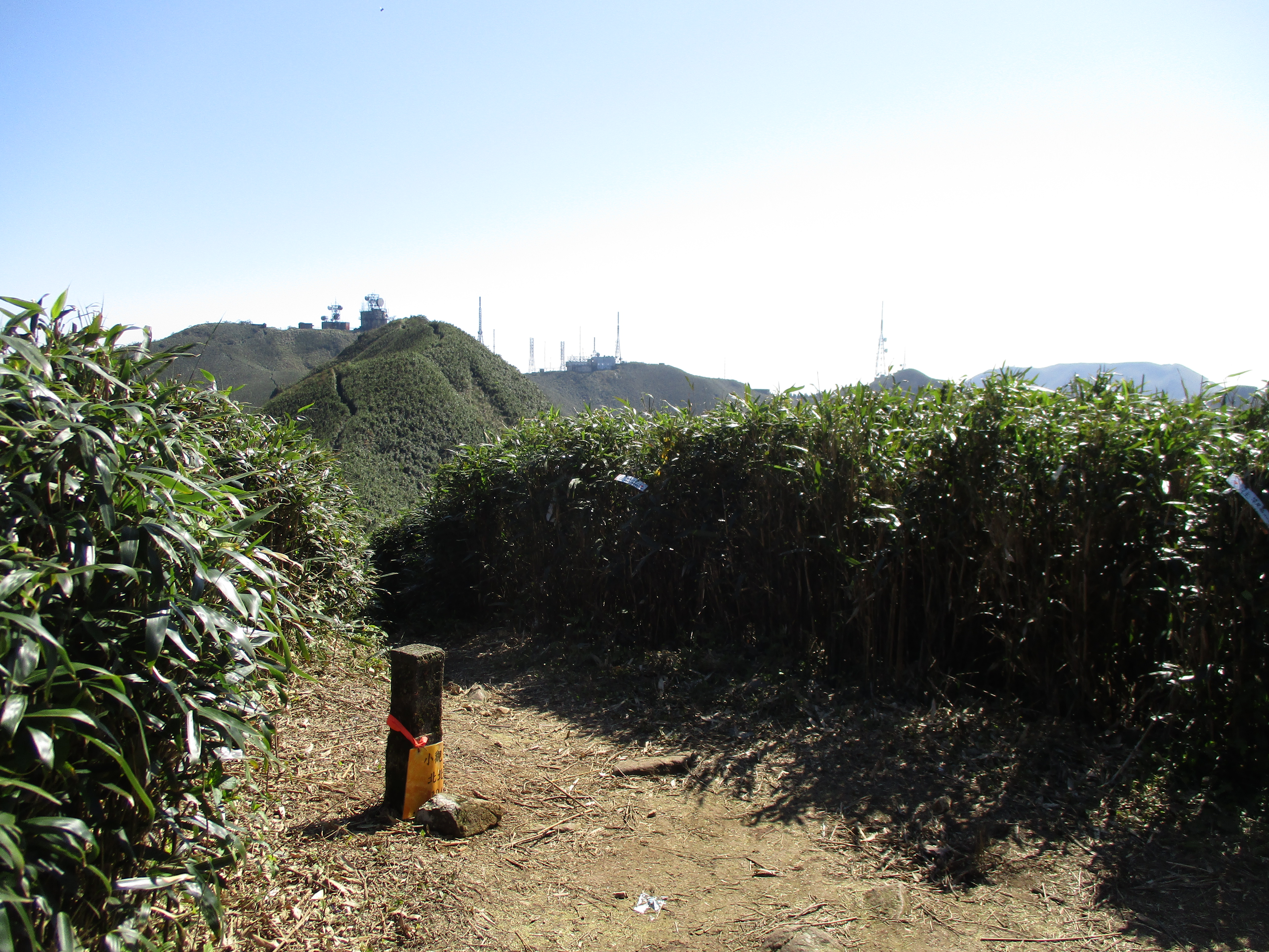
fork left here
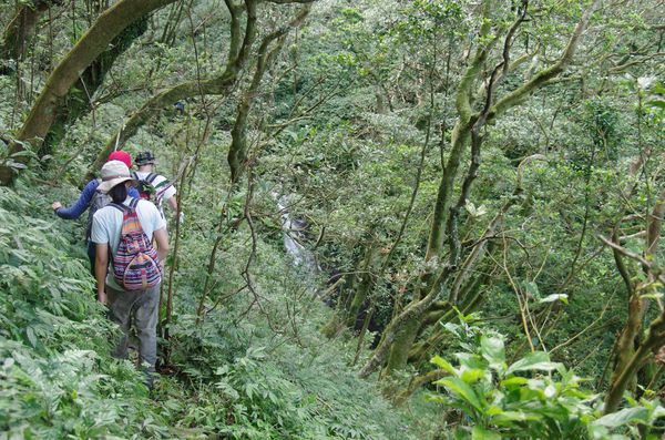
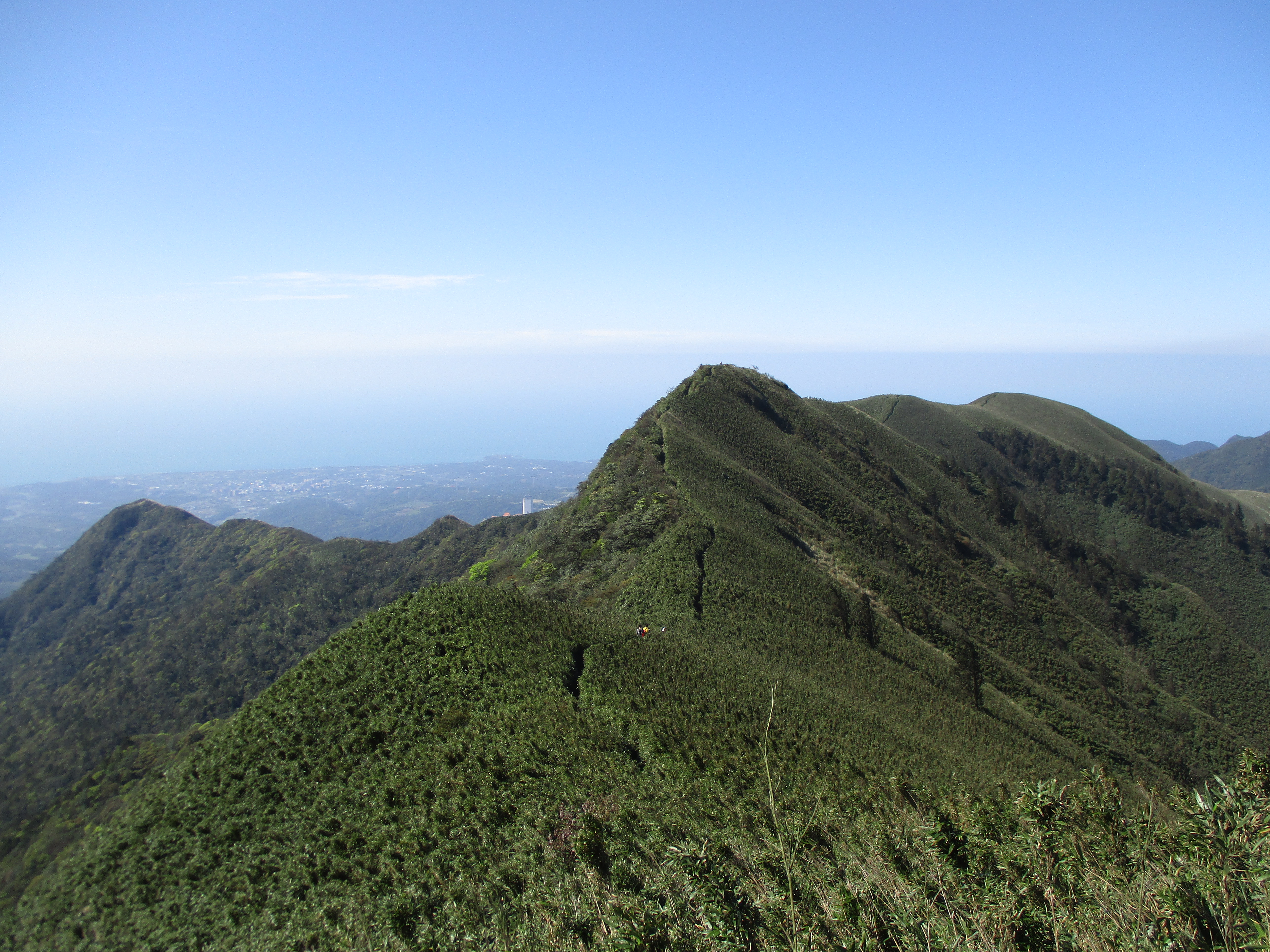
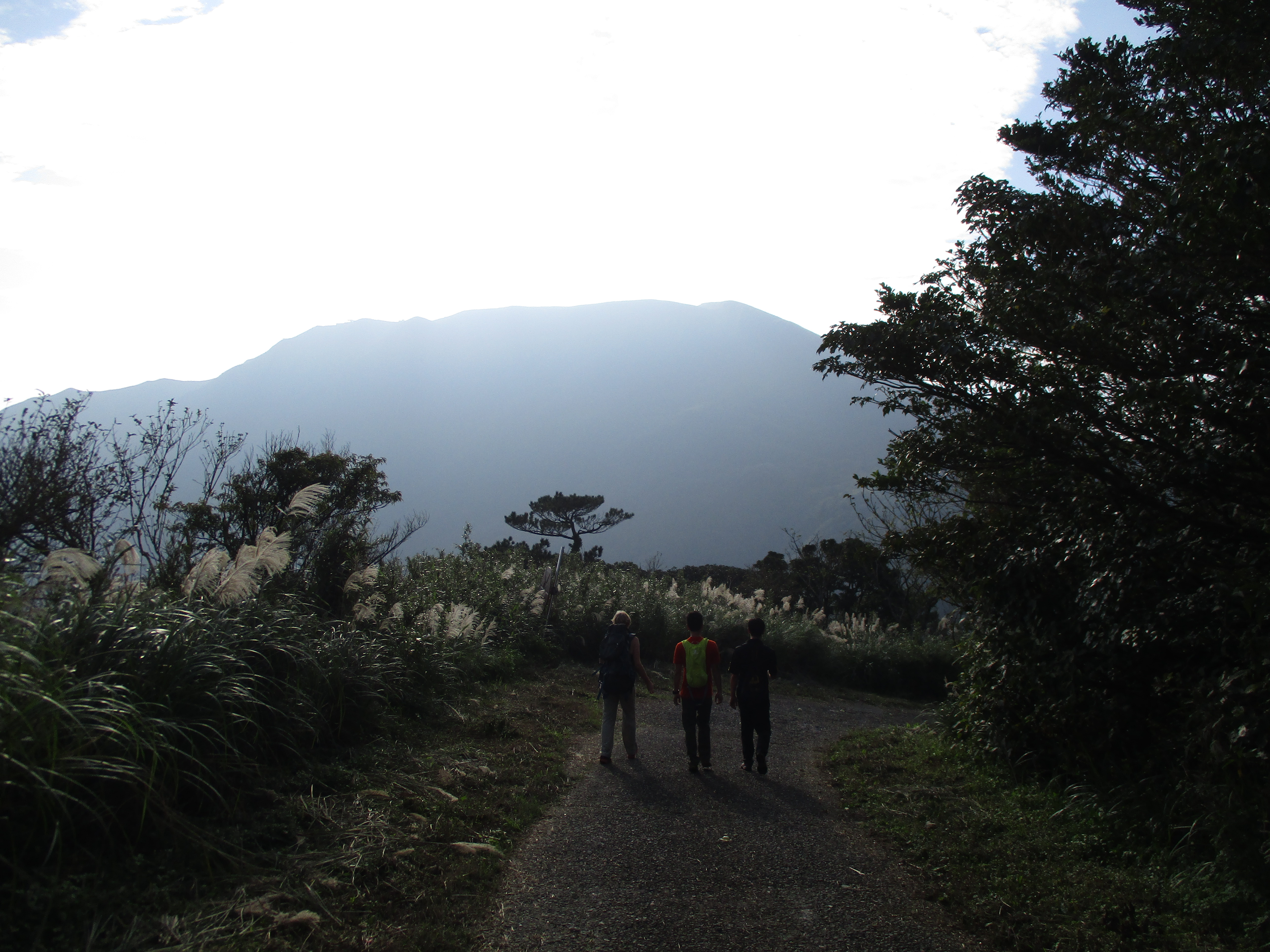
The trail dips down then climbs back up over the north peak of XiaoGuanyinShan.
trail going along the ridge
XiaoGuanyinShan north peak
The trail dips down again then climbs up to XiaoGuaninShan peak the military radar on it.
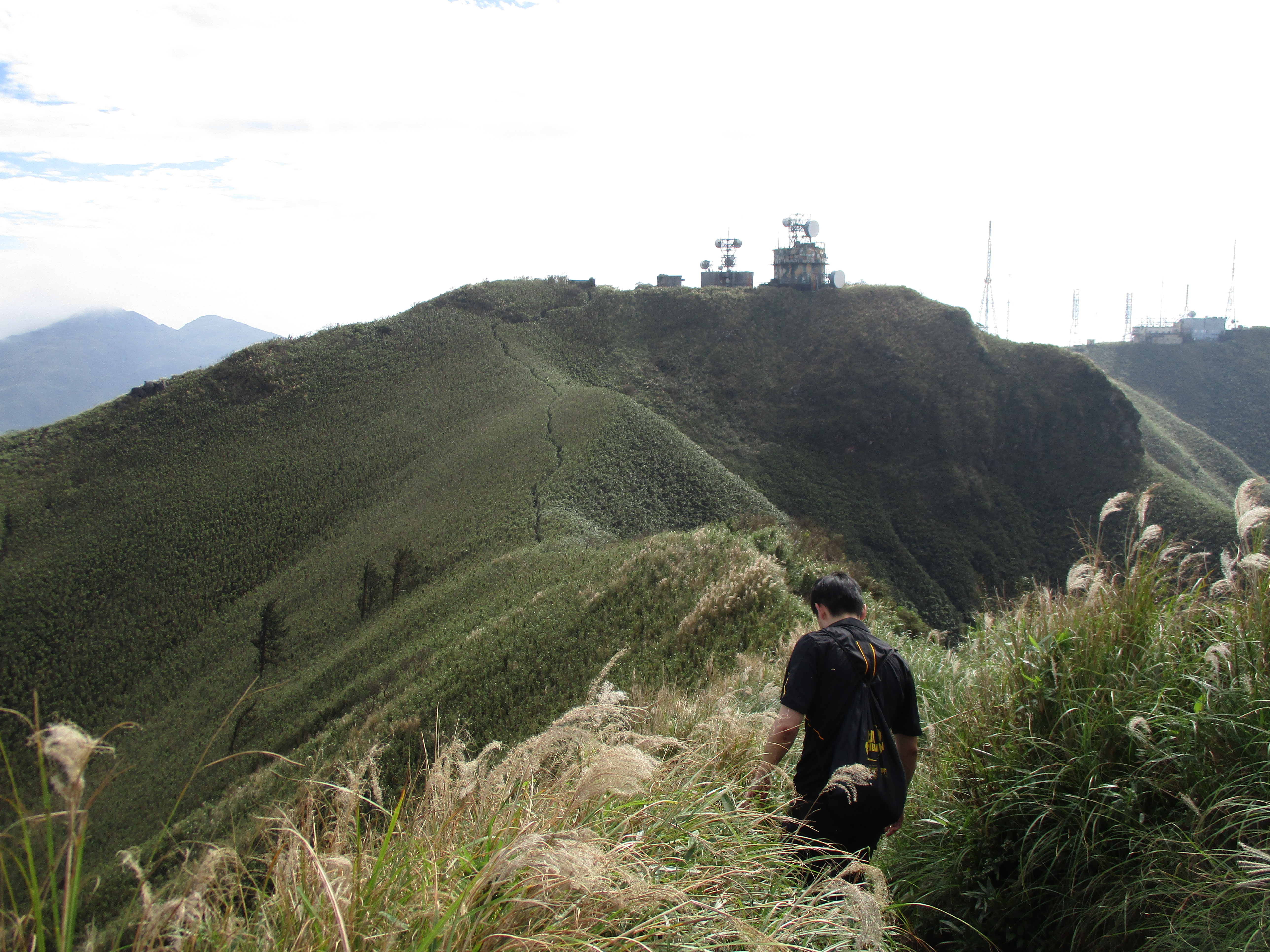
trail along the ridge towards the military radar and communication towers
looking back at the trail along the ridge
On XiaoGuanyinShan peak the trail passes beside a building then descends slightly to go around some military radar towers.

military building on XiaoGuanyinShan peak
The trail goes along the grassy hillside towards the communications towers and provides excellent views of Qixing Mountain.
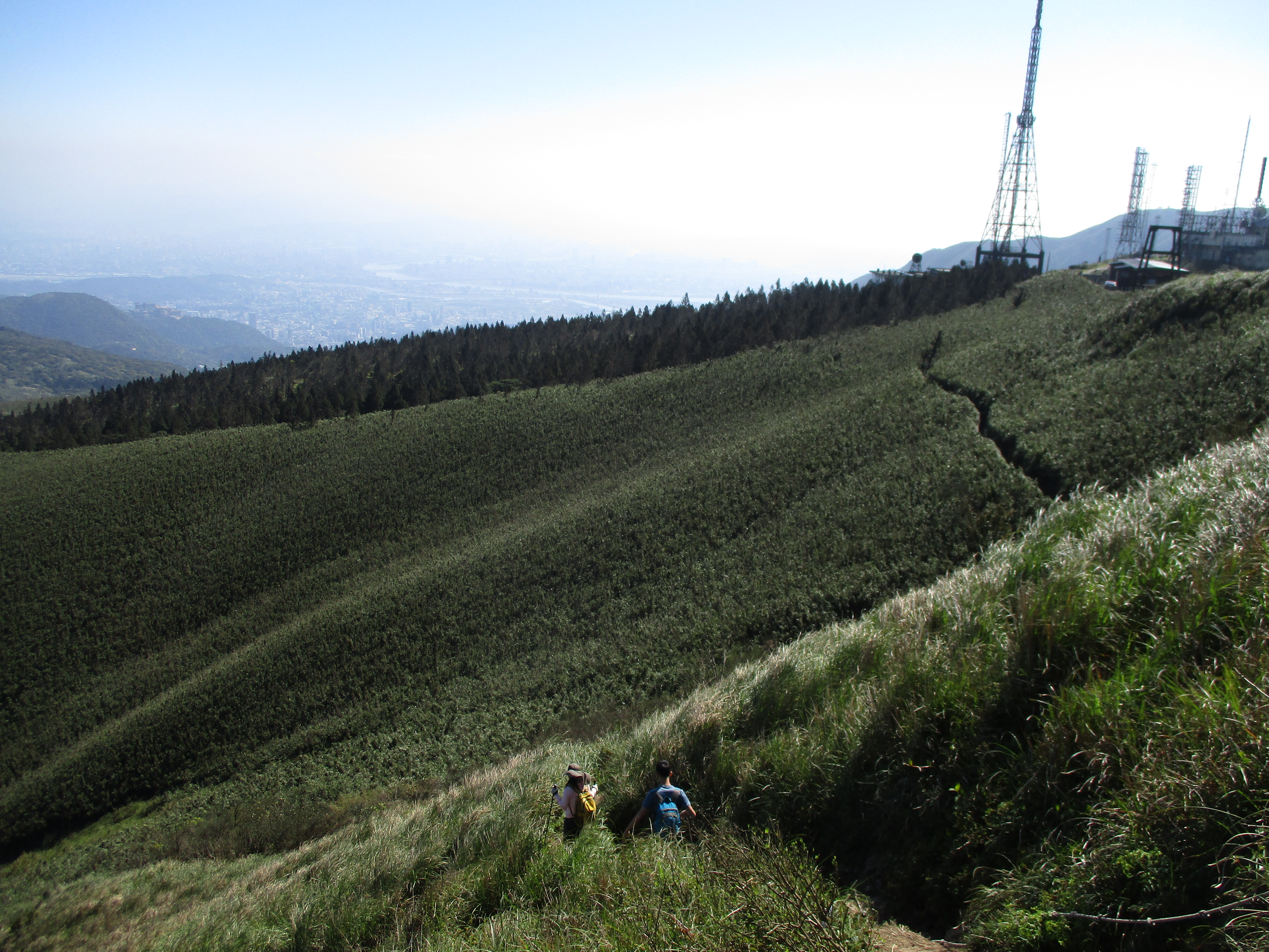
trail going around the military radar
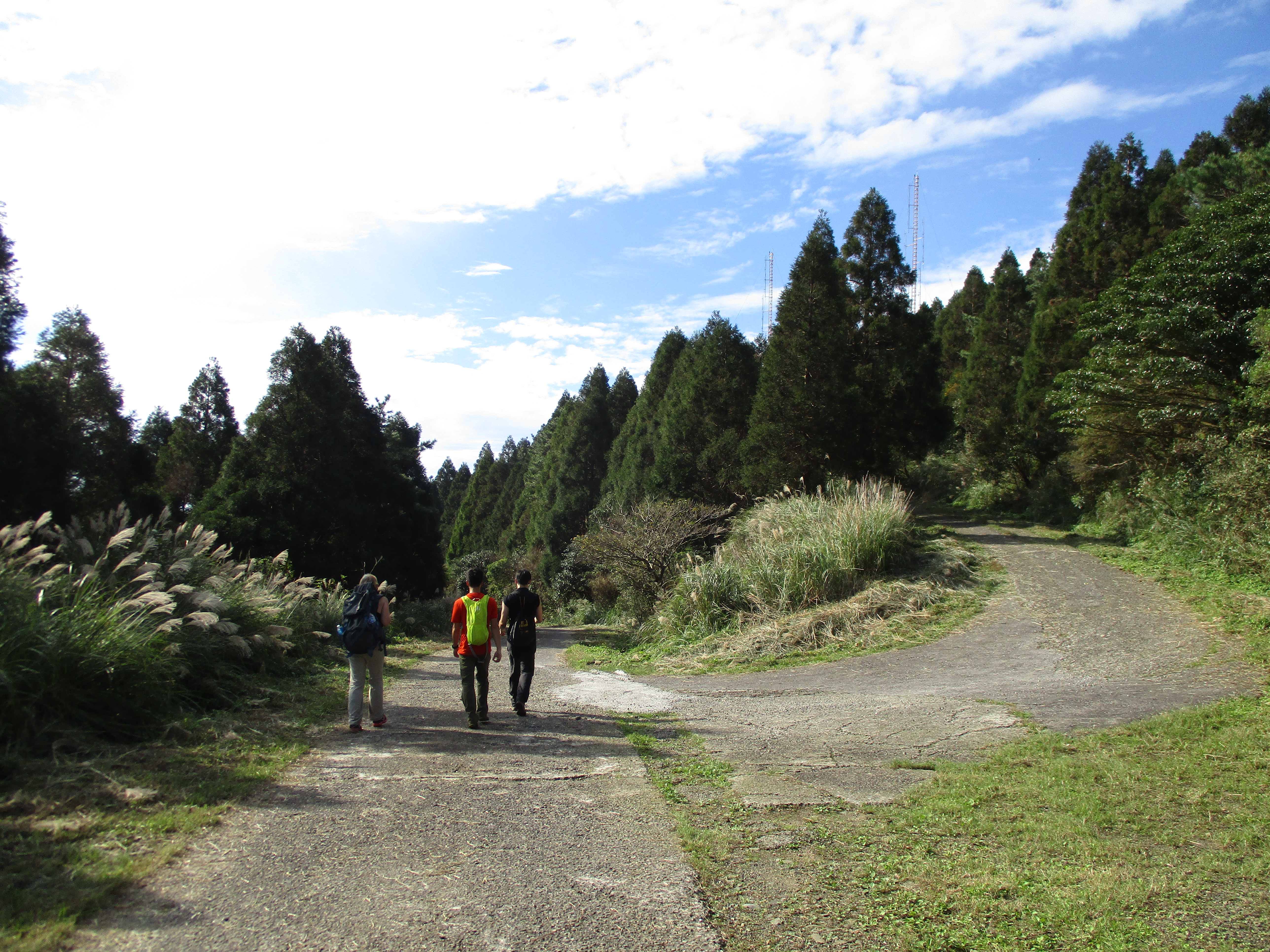
Just before the tower the trail goes through a grove of Japanese cedars.

cutting though a grove of Japanese cedars
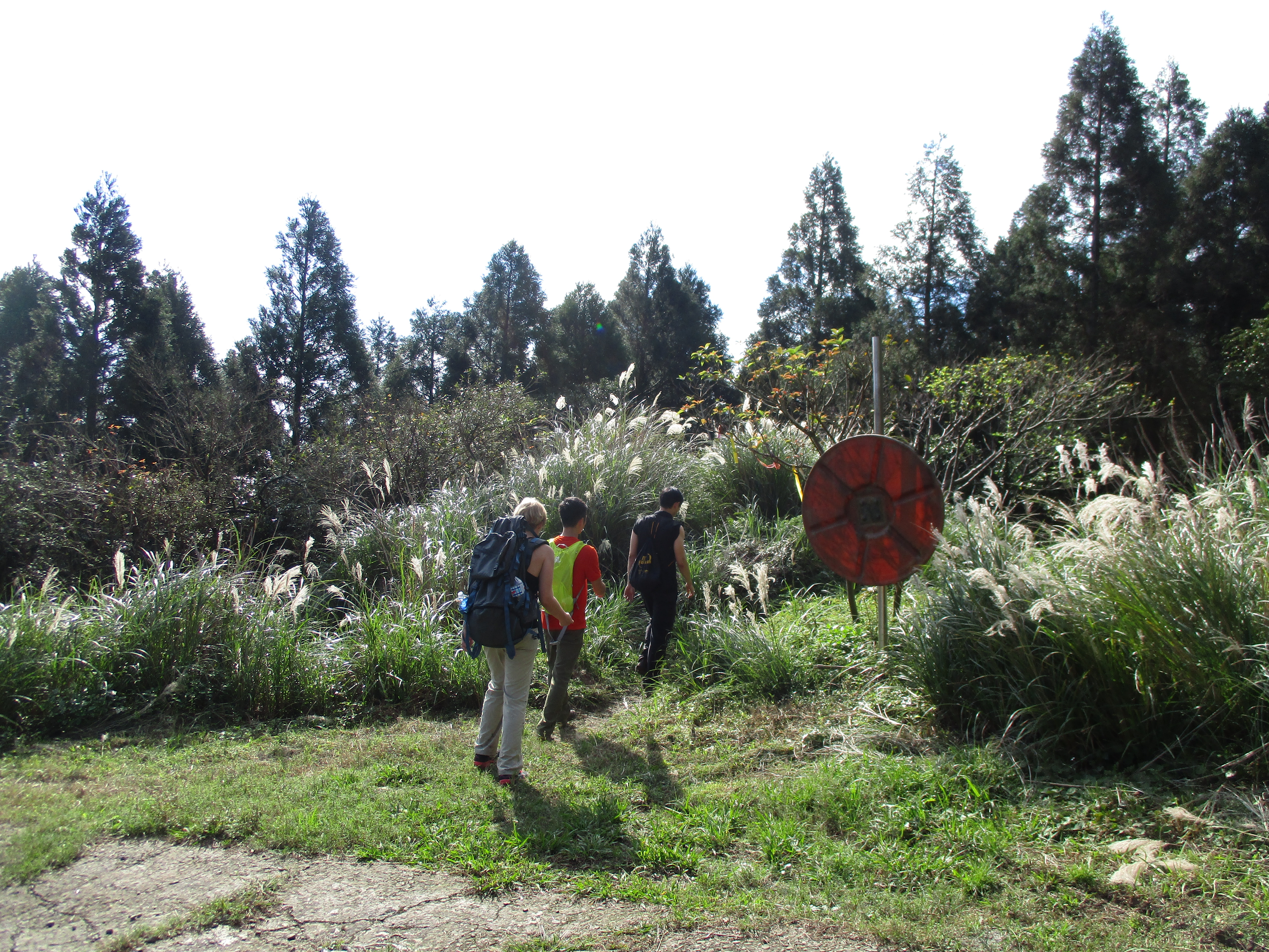
The trail ends at the access road for the towers. Walk down the road going straight at a T-intersection.
walking down the road
Just after the intersection turn off the road onto an unmarked trail at a hairpin turn to hike to XiaoGuanyingShan west peak, or continue on the road if you want to skip this peak.
turn off the road here to hike to the west peak
The trail starts by going through a small grove of trees then cuts through more bamboo.
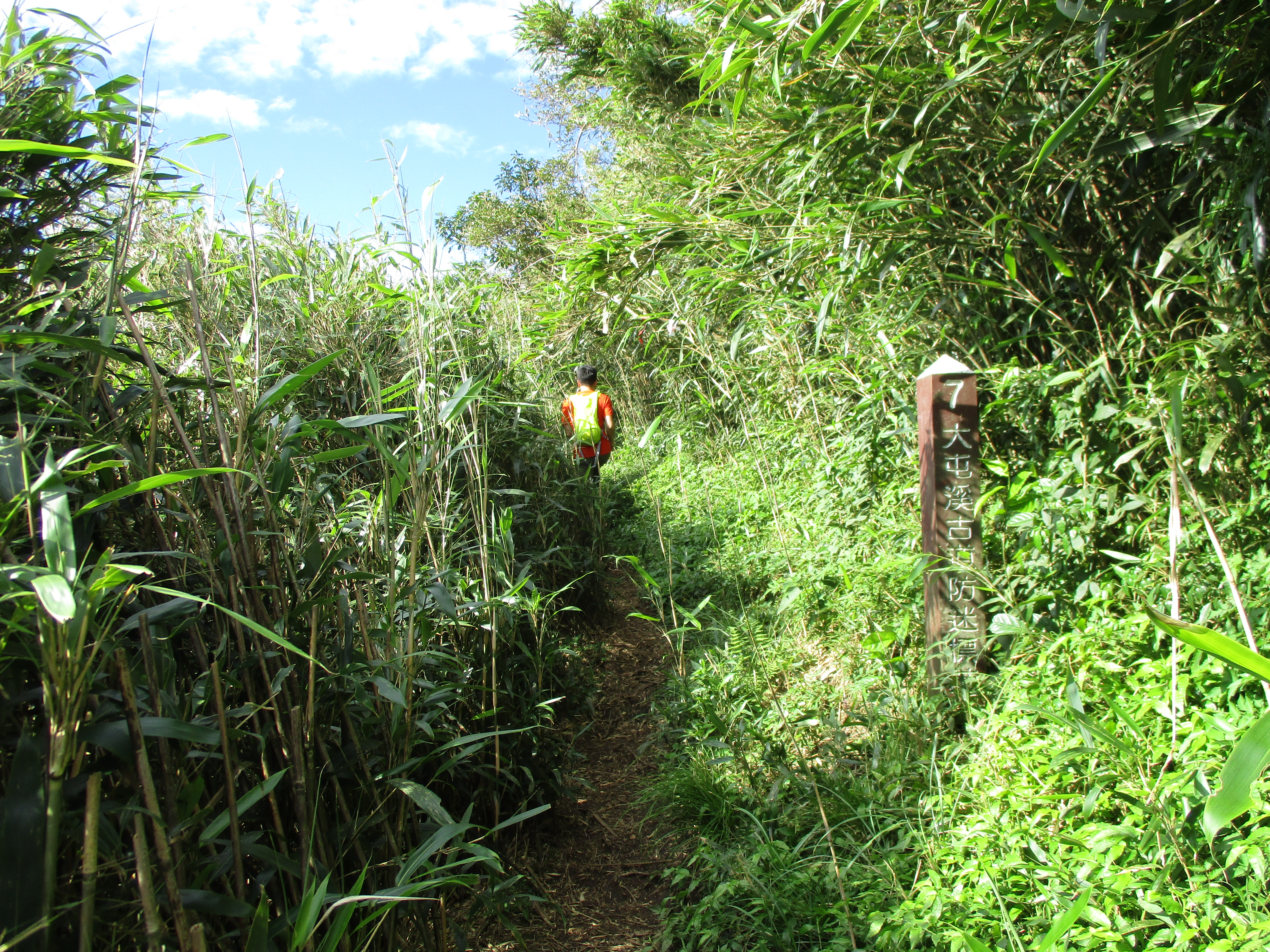
trail to the west peak
The trail gets rocky as it gets closer to the peak.

rocky section of trail
The west peak is a rocky peak with more excellent views.
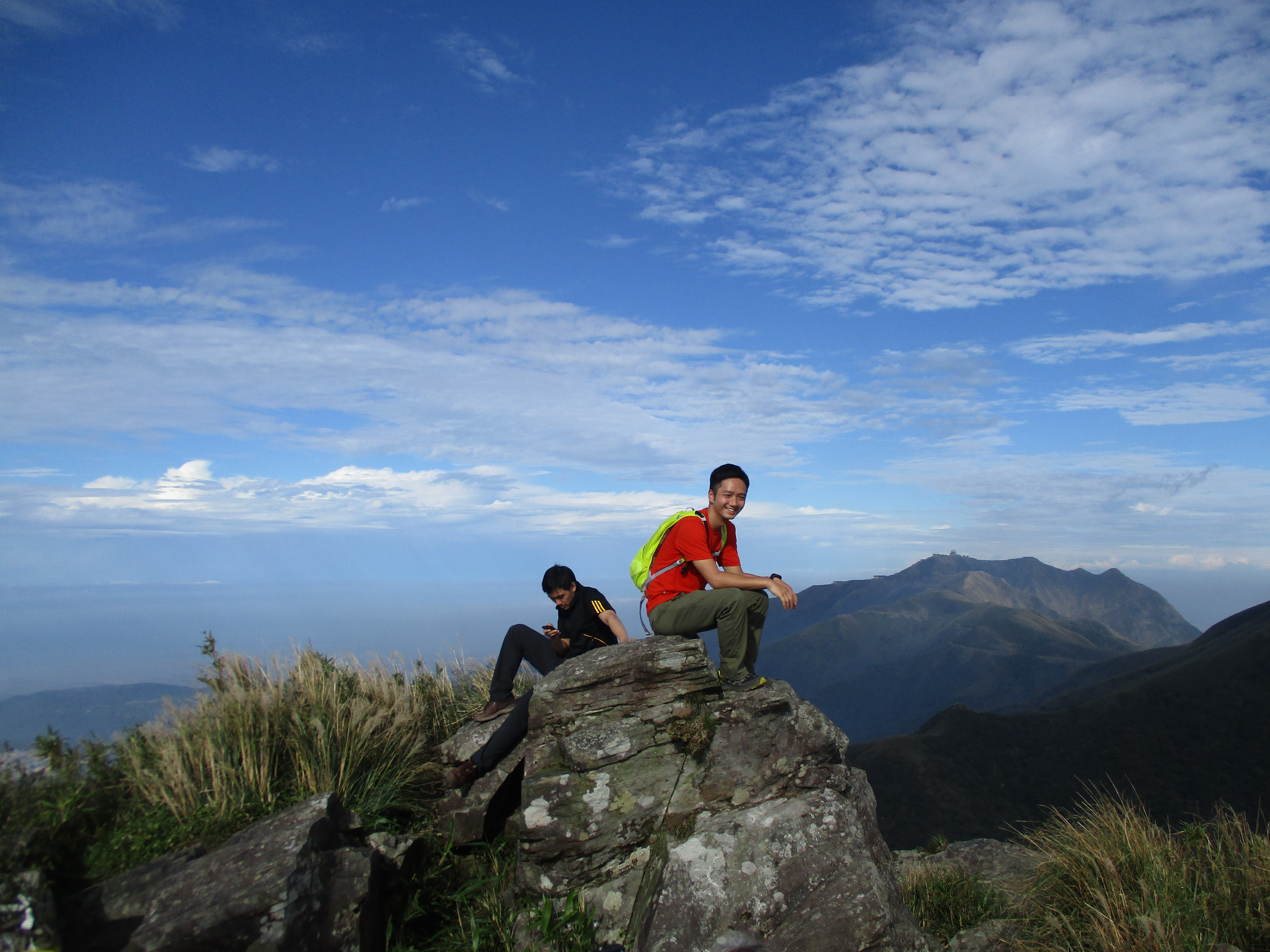
XiaoGuanyinShan west peak
From the peak return back to road (the trails are too difficult and dangerous to descend on). Continue on the road going down until you come to another unmarked trail leading off the road.
continuing down the road
turn off the road here to avoid the dogs
WARNING: at the end of the road there is a pack of about 30 large aggressive dogs. It is advisible to turn off the road here and use the trail rather than continuing to walk on the road in order to aviod the dogs, especially if you are hiking alone.
Turn off the road here then turn left at a trail junction after a few steps. Follow this trail going down at any trail junctions.
Turn left at a trail junction with a kiln and this trail leads to a parking lot.
turn left here at the kiln
From the parking lot turn right and walk along the road to the Erziping car park. At the car park catch the bus to the Yangmingshan bus terminal. Make sure you get on a bus that has Erzping only for its destination (on weekends only) to aviod the long nauseating ride all the way around Qixing.
Map of the Hike
