Mt. Ding – Mt. Shiti Ridge Hike
Yangmingshan National Park
Introduction: this hike starts from the Lengshuikeng car park, goes to the cow meadow and the Qingtiangang car park, then follows a long ridge through the far eastern side of the park and finishes at Shengren Waterfall.
Access: take bus Xiao 15 from Jintian MRT Station at get off at the Lengshuikeng car park, the ride takes about 45 minutes
Length: 13km, 5 hours
Difficulty Level: 1/5
Trail Conditions: stone trails
The Hike
There is a visitor center and store at the Lengshuikeng car park where you can buy water and snacks for the hike. The trail starts from the parking lot near the visitor center and is clearly marked.

start of the trail from the car park, take the left trail to Milk Pond
Before setting off on the hike take the short trail signposted for Niunai Pond. This leads up to a viewing platform from where you can see Milk Pond down below, a pond in which the water is colored white due to minerals in the water.
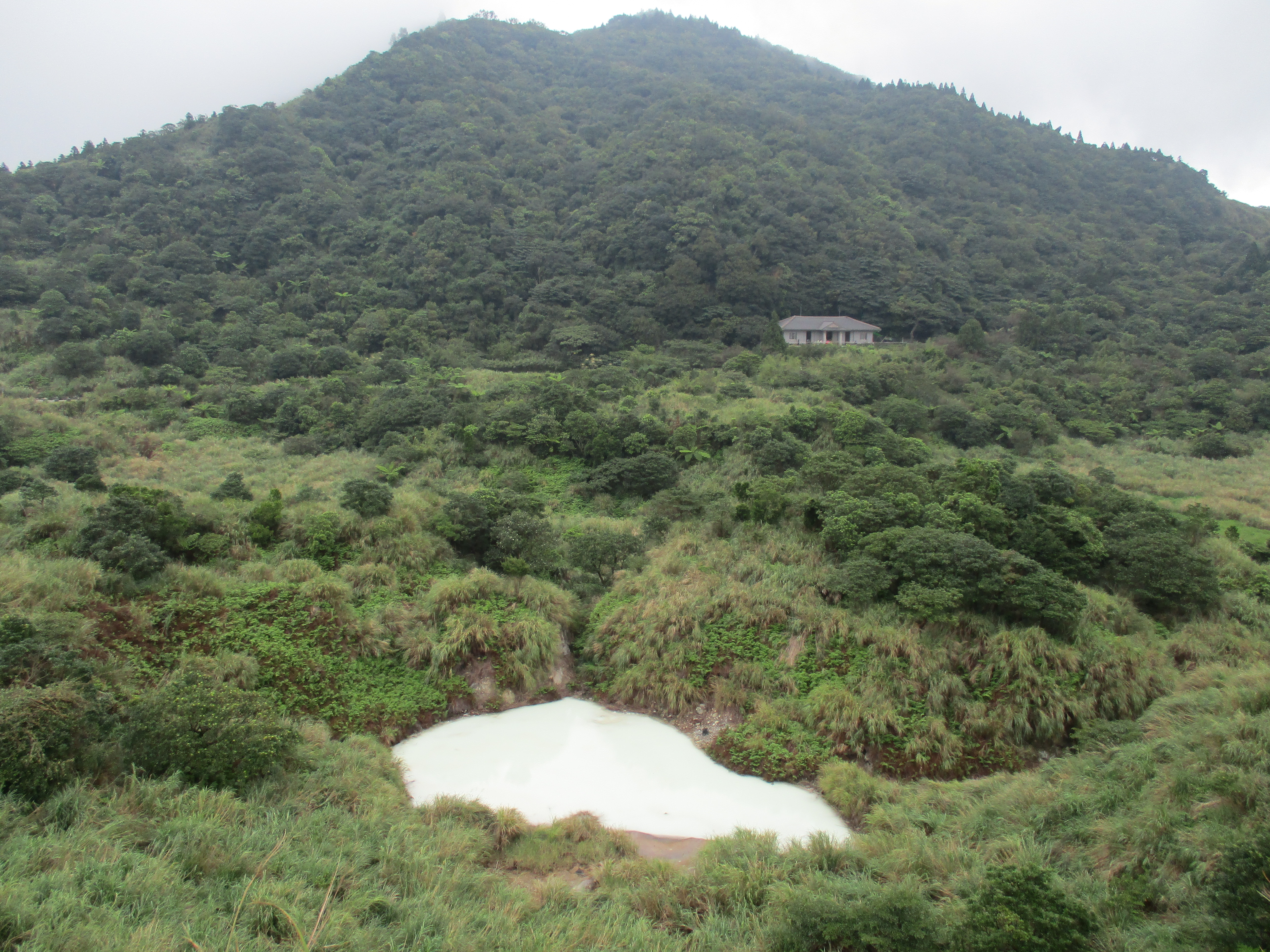
view of Milk Pond
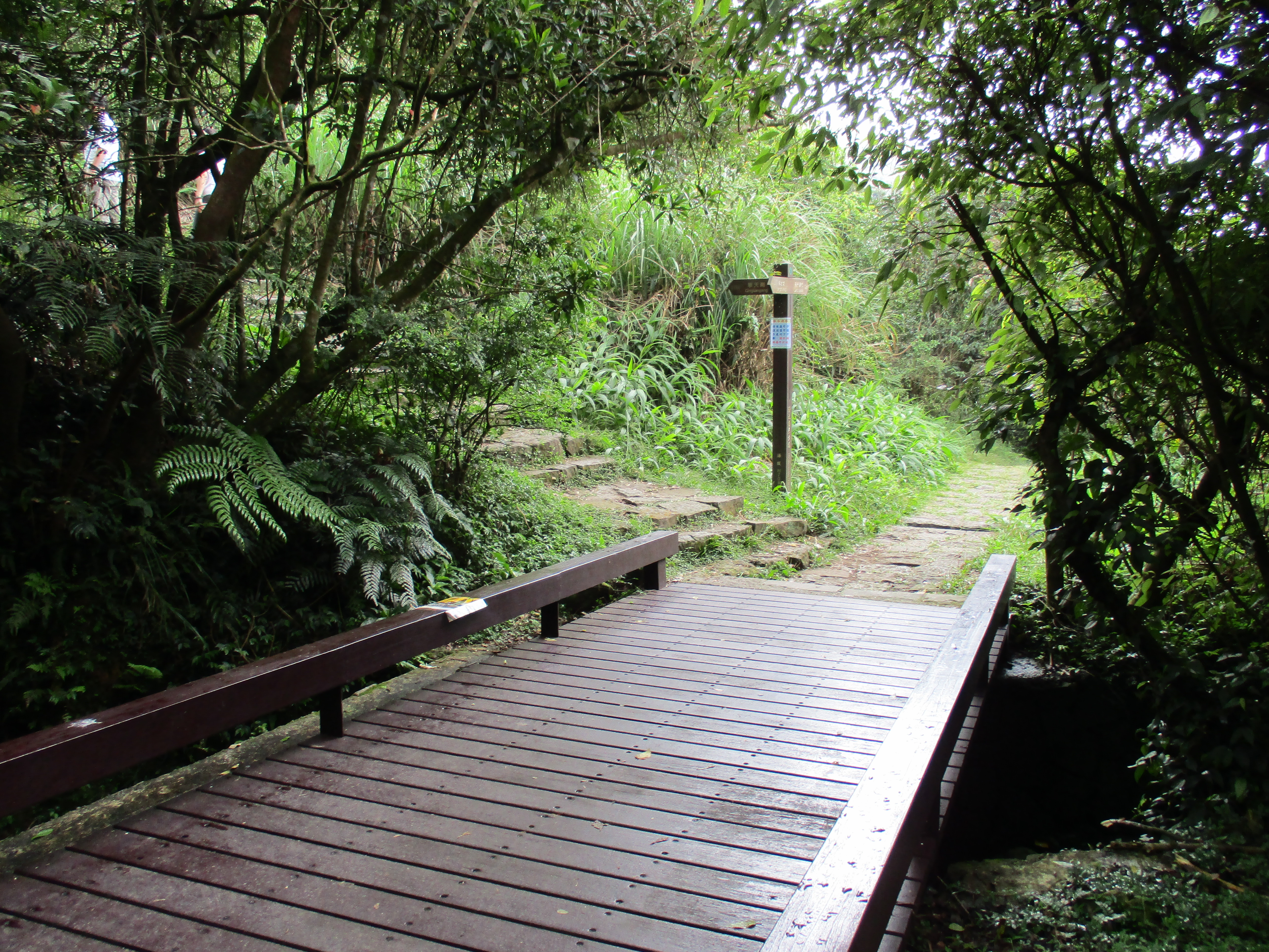
From the car park the trail quickly crosses a suspension bridge.

suspension bridge
Turn right at a trail junction just after the bridge, signposted for Qingtiangang.
turn right after the suspension bridge
The trail goes around a pond then climbs up through some Japanese cedar trees on gravel steps.

trail going around a pond
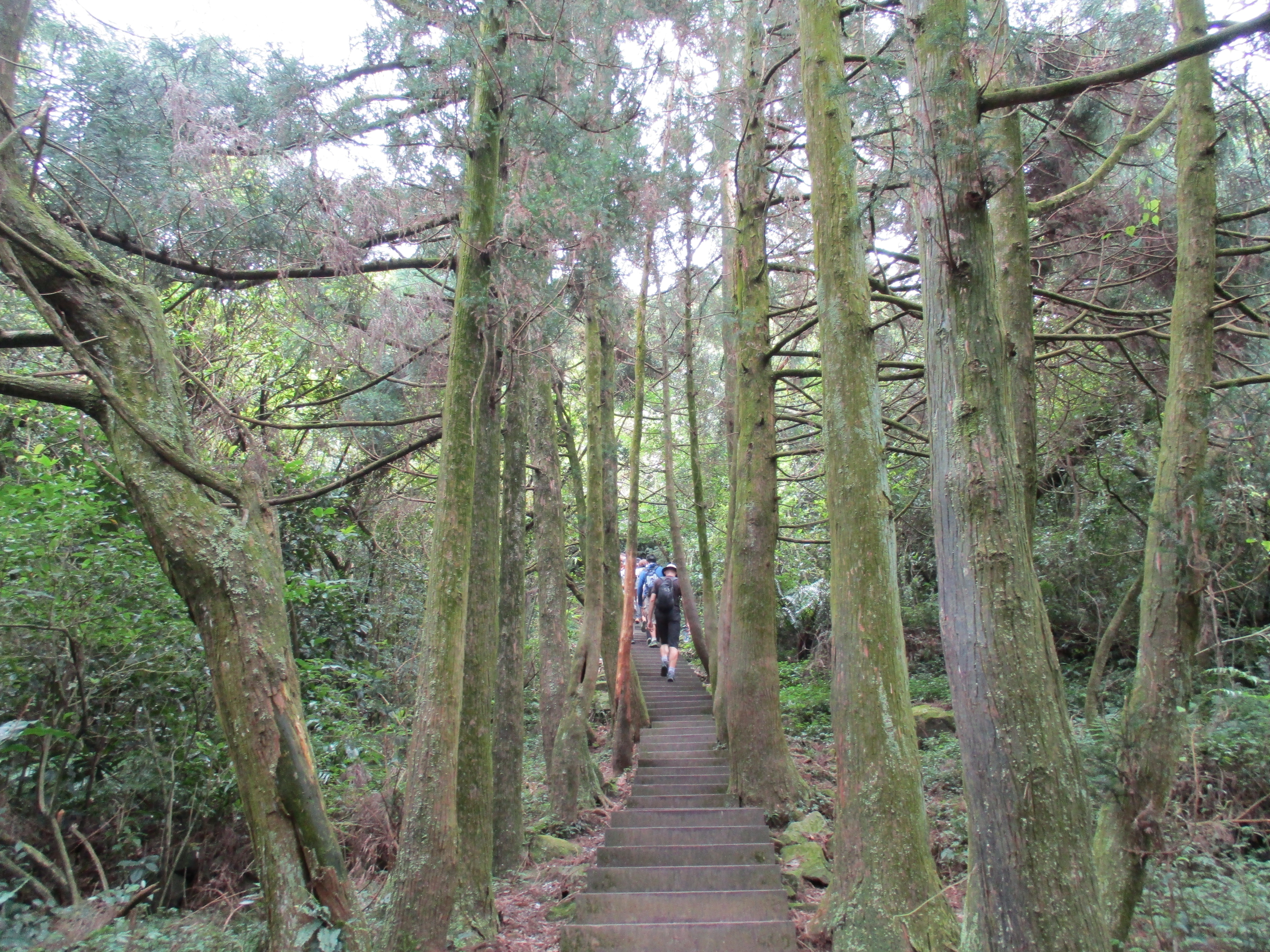
climbing up through some Japanese cedar trees
The trail emerges from the trees onto the grass-covered high point of the trail. There is a viewing platform here where you can look upon Qixing in behind and the cow meadow up ahead.

looking towards the cow meadow from the viewing platform
From the platform the trail leads down along a tiny stream.

hiking towards the cow meadow
Turn left at a trail junction at a small wooden bridge.
turn left here
After the junction steep steps zig-zag upwards leading past an unusually bent tree.

twisted tree
Shortly after the tree is another trail junction at the end of this trail, turn left here.

turn left here…
Then turn right at another trail junction after climbing a few steps, signposted for Qingtiangang Grassland.

…then turn right
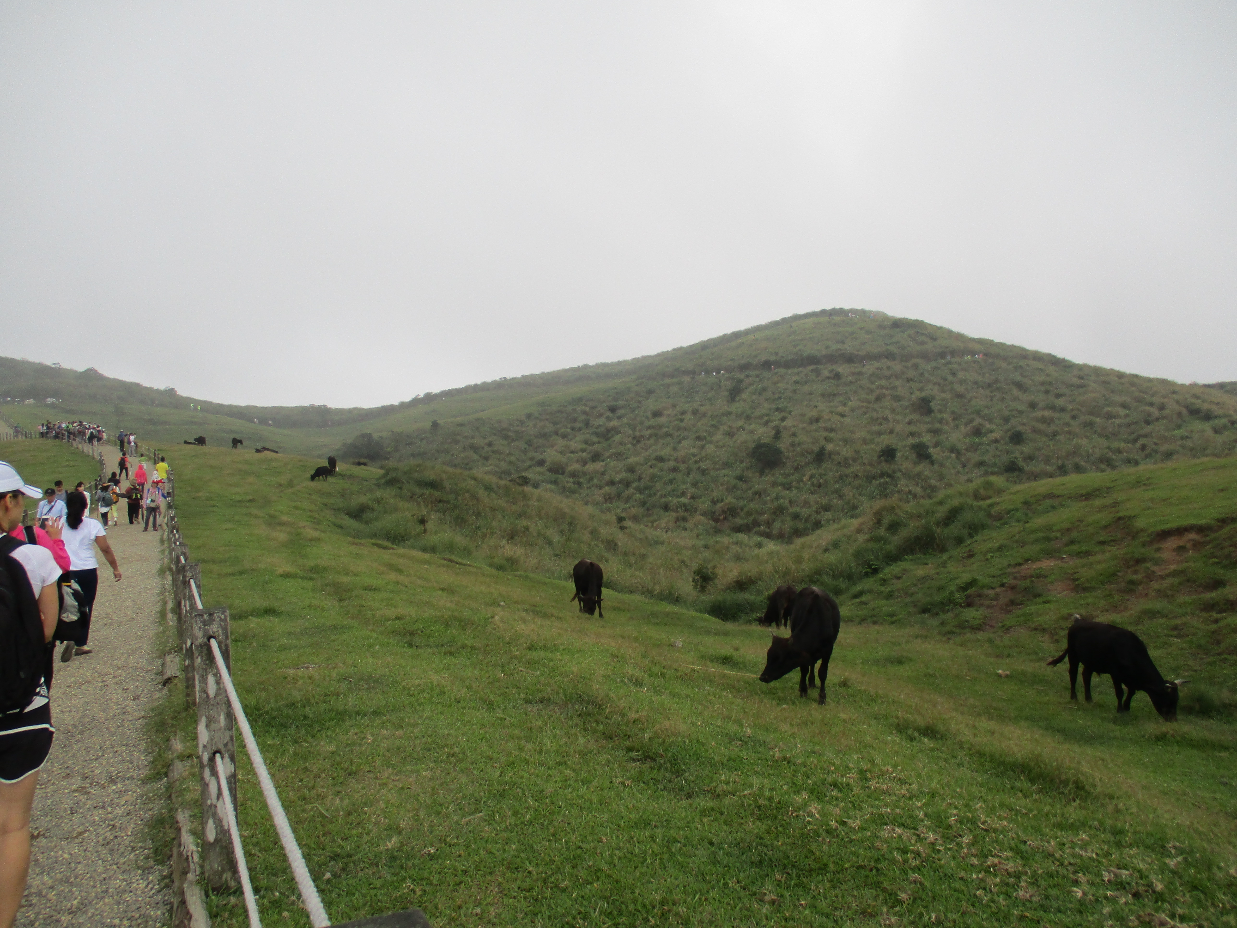
This trail leads up to the cow meadow, the most popular spot in Yangmingshan. There is always some cattle hanging around here, though they can roam pretty much anywhere around the eastern side of the national park.

cow meadow
Turn left at a trail junction in the cow meadow at the end of this trail, signposted for Qingtiangang Visitor Center.

turn left here in the cow meadow
The wide, flat, gravel trail leads through the cow meadow.
trail through the cow meadow
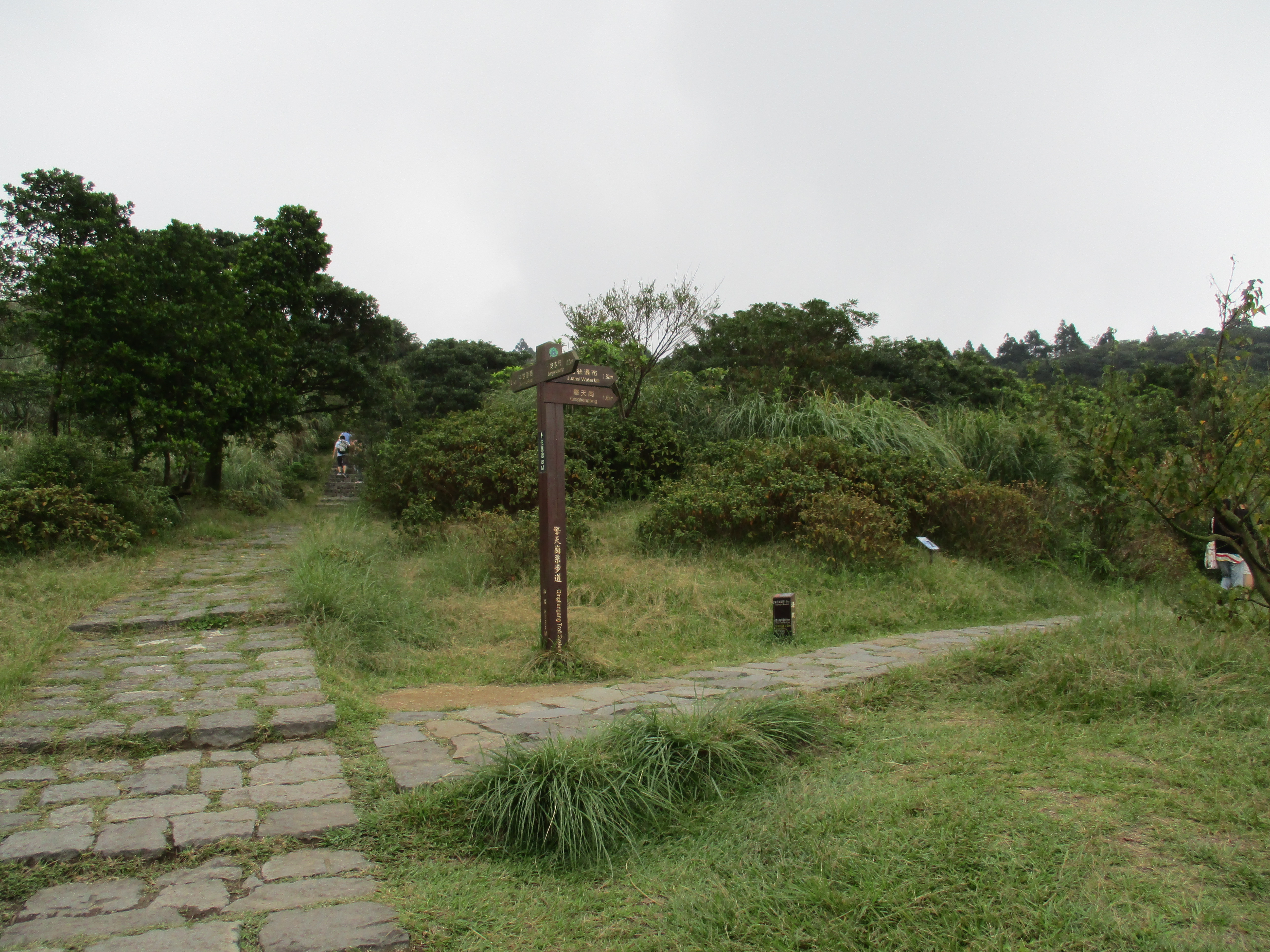
At a trail junction at the end of this trail turn left to go to the visitor center, or turn right to start the ridge hike over Mt. Shiti. The Qingtiangang Visitor Center has a small museum with some displays about the park and a very narrow store that you can barely squeeze into.

turn left here for the Qingtiangang Visitor Center, turn right for the ridge hike over Mt. Shiti
Return back to the last trail junction and keep going straight, signposted for Fengguikou. Fenguikou is a trailhead located 6.5km from Qingtiangang. There are good views of the cow meadow from along the trail.

hiking away from the visitor center
In a few minutes the trail comes to an old Japanese stone gate. Keep going straight here.
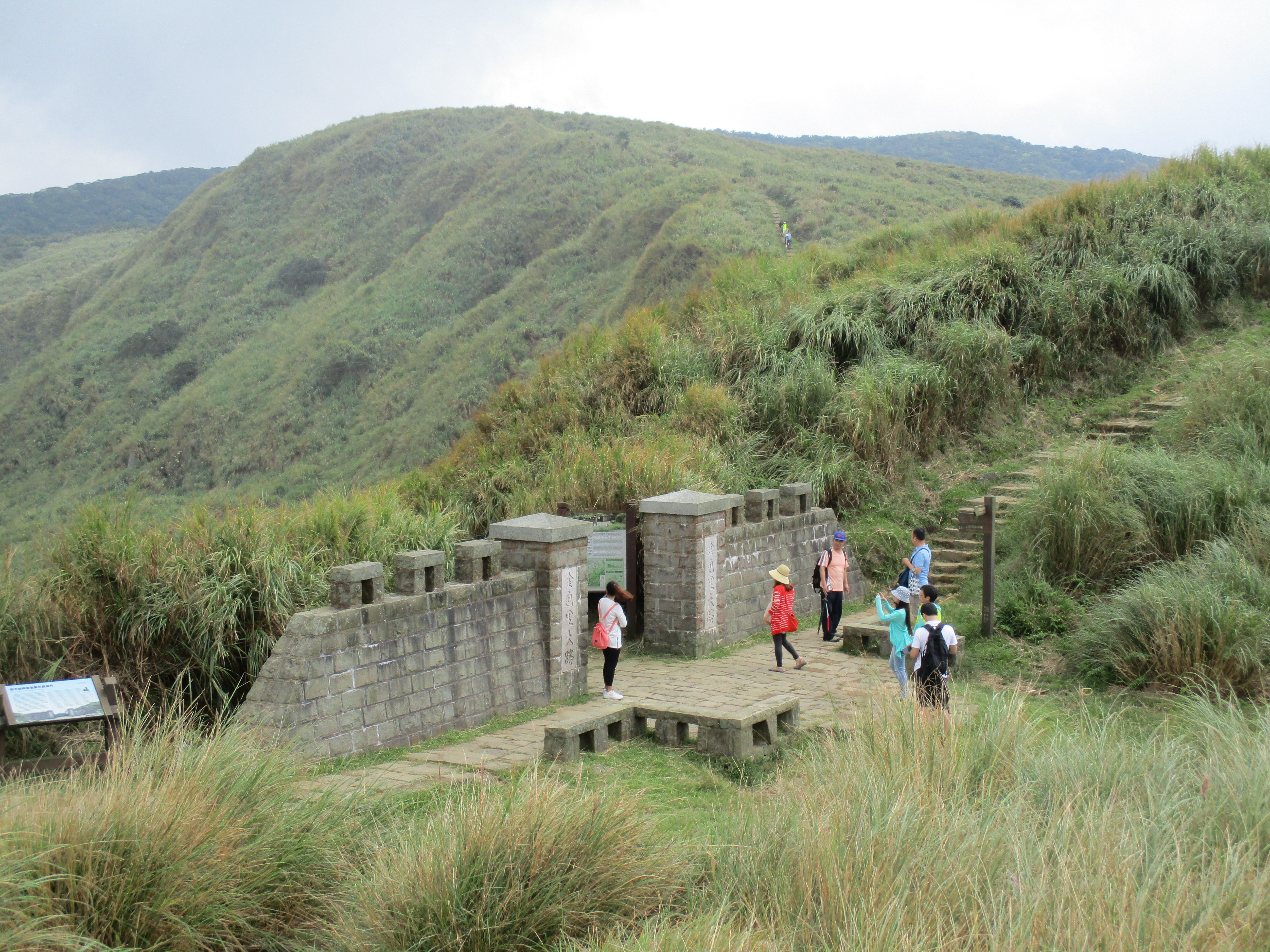
Japanese stone gate, go straight here
A few minutes after the gate is yet another trail junction, keep going straight again.

trail junction, go straight here
After this last junction the trail begins to climb up through the grasslands towards the ridge ahead.

looking back towards the cow meadow
After the grasslands the trail goes into the trees and comes to the fenced off trail that climbs up Mt. Huangzui. A permit and guide are required to hike this trail. Keep going straight here.
trail entering the trees

locked entrance of the trail to Mt. Huangzui
Shortly after this last junction the trail begins its steep, zigzagging stair climb to the top of the ridge. The climb up takes about 15 minutes.

bottom of the climb to the top of the ridge

climbing to the top of the ridge
After the climb up the trail emerges onto the shrub-covered ridge and winds up over the peak of Mt. Shiti.

to the peak of Mt. Shiti
Mt. Shiti peak
From the peak the trail descends the other side then cuts through a large meadow.

cutting through a meadow
After the meadow the trail continues along the ridge, sometimes through the trees and sometimes over small meadows.

hiking along the ridge

hiking along the ridge

passing another meadow
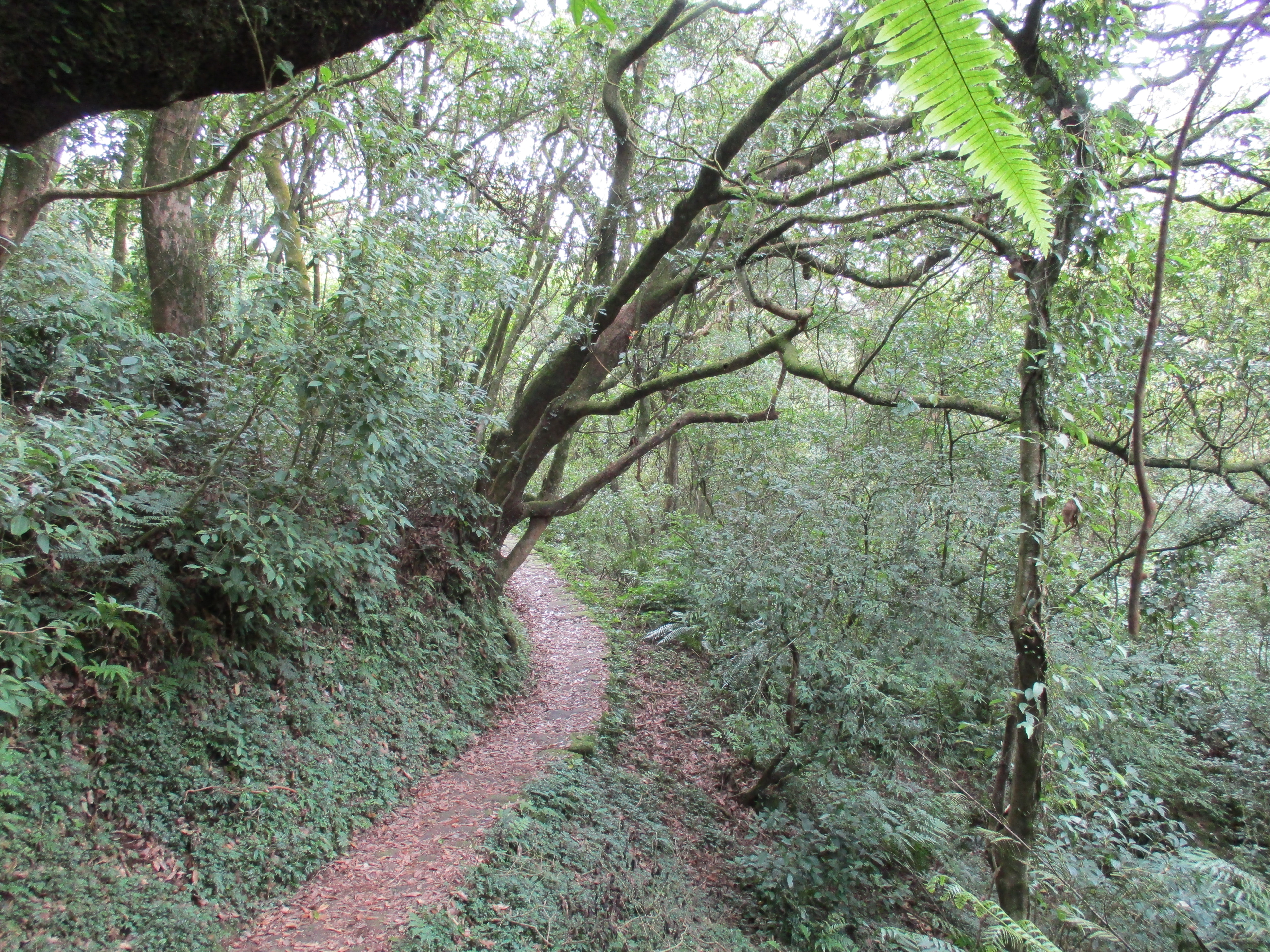
After the trail passes another large meadow with a small pond it leaves the ridge for a stretch and goes through a grove of Japanese cedar trees.

Japanese cedars

Japanese cedars
After the cedars, the trail swings around back up the shrub and grass covered ridge and goes over the peak of Mt. Ding.

back on the ridge
After the peak the trail goes through more trees and contours a hillside.
forested hillside
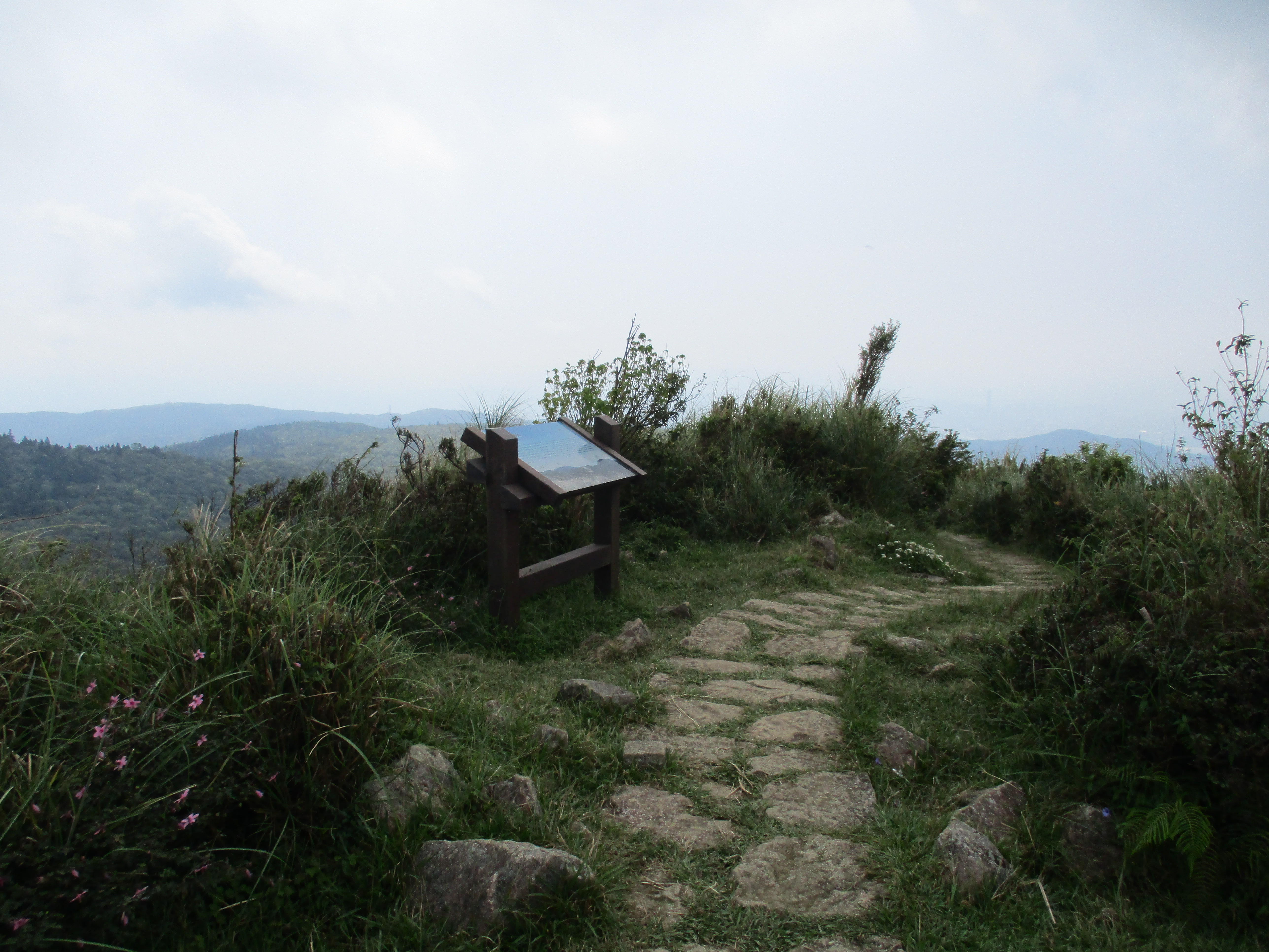
Then emerges from the trees and contours a grass-covered hillside with more good views.

grassy hillside
Finally, the trail makes a steep descent to the Fengguikou trail entrance and rest shelter.

descending to Fengguikou
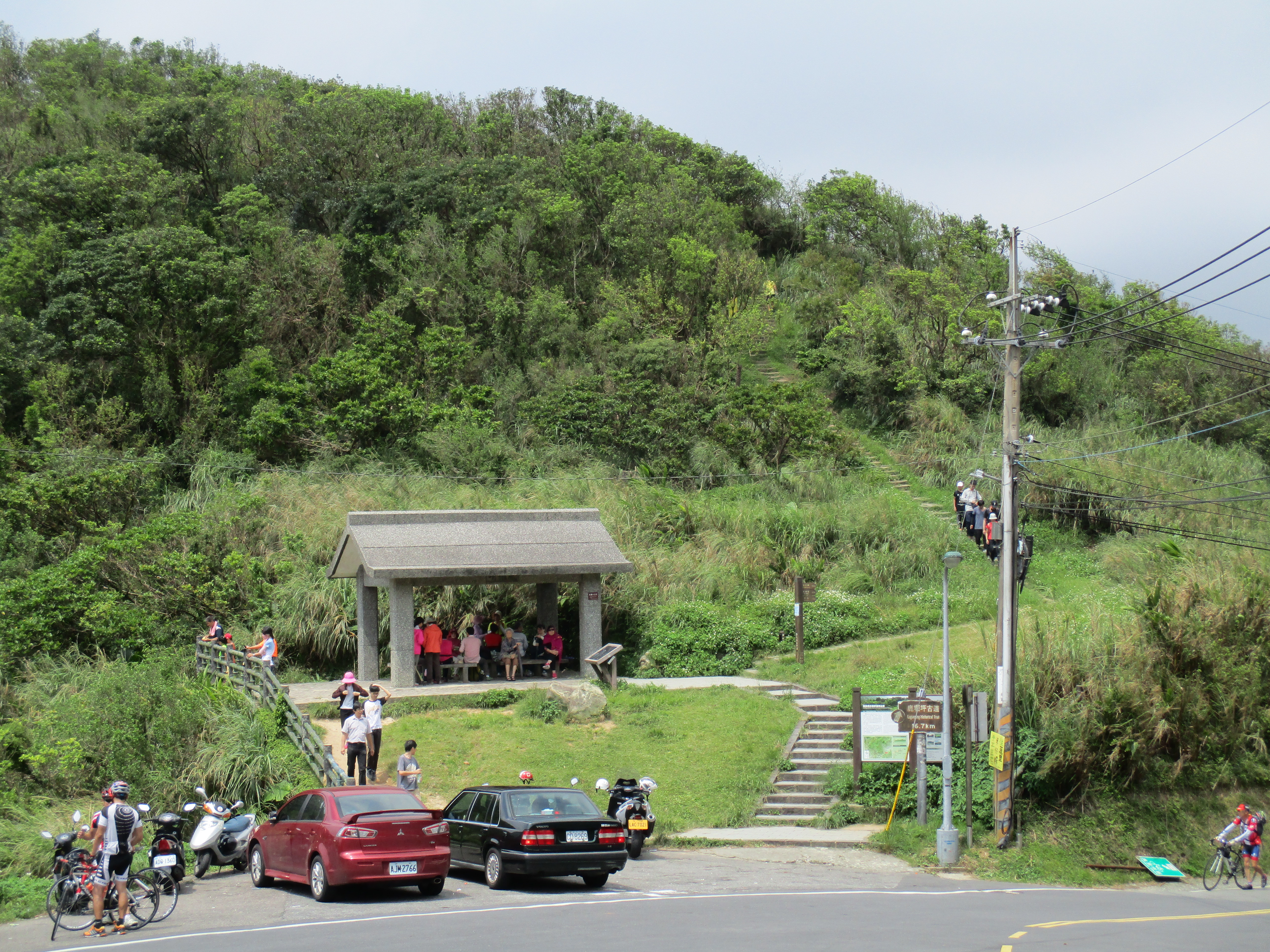
Fengguikou trailhead and rest shelter
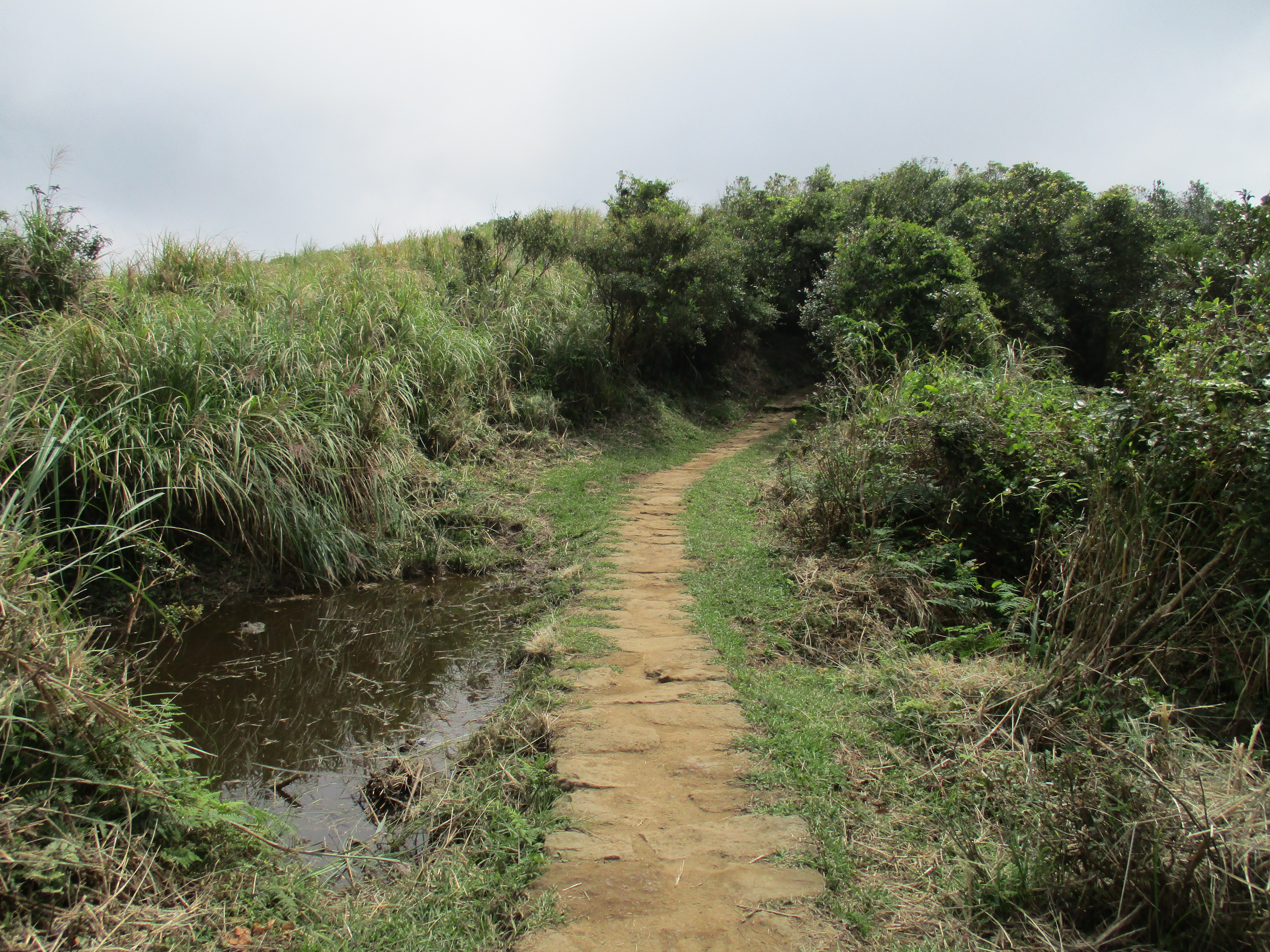
From the rest shelter steep steps continue leading downwards, going along small stream halfway down.

steps leading down from Fengguikou
At the bottom the trail merges onto the road. Walk down the road for a few hundred meters until the trail turns off the road, signposted for Shengren Bridge.
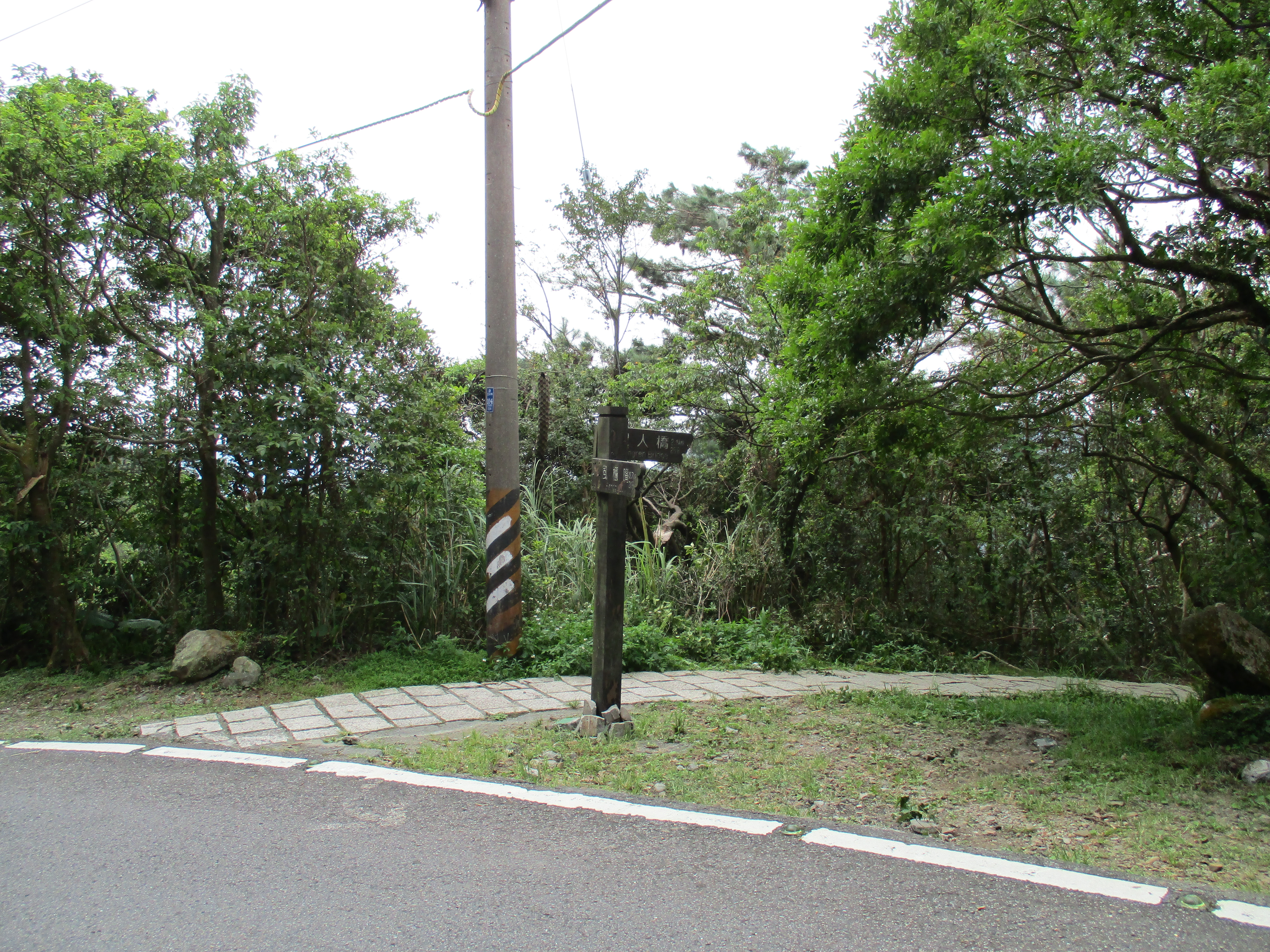
trail leaving the road
From the road more steps lead downwards and past someone’s house.

going down between the roads
The trail crosses the road and continues downward soon ending at someone’s house at the end of a small road.

crossing the road
From here it’s a road walk to the Shengren Bridge. Along the way the road passes the Tianxiyuan Ecology Education Center. It’s never open but there are public washrooms and a vending machine here.
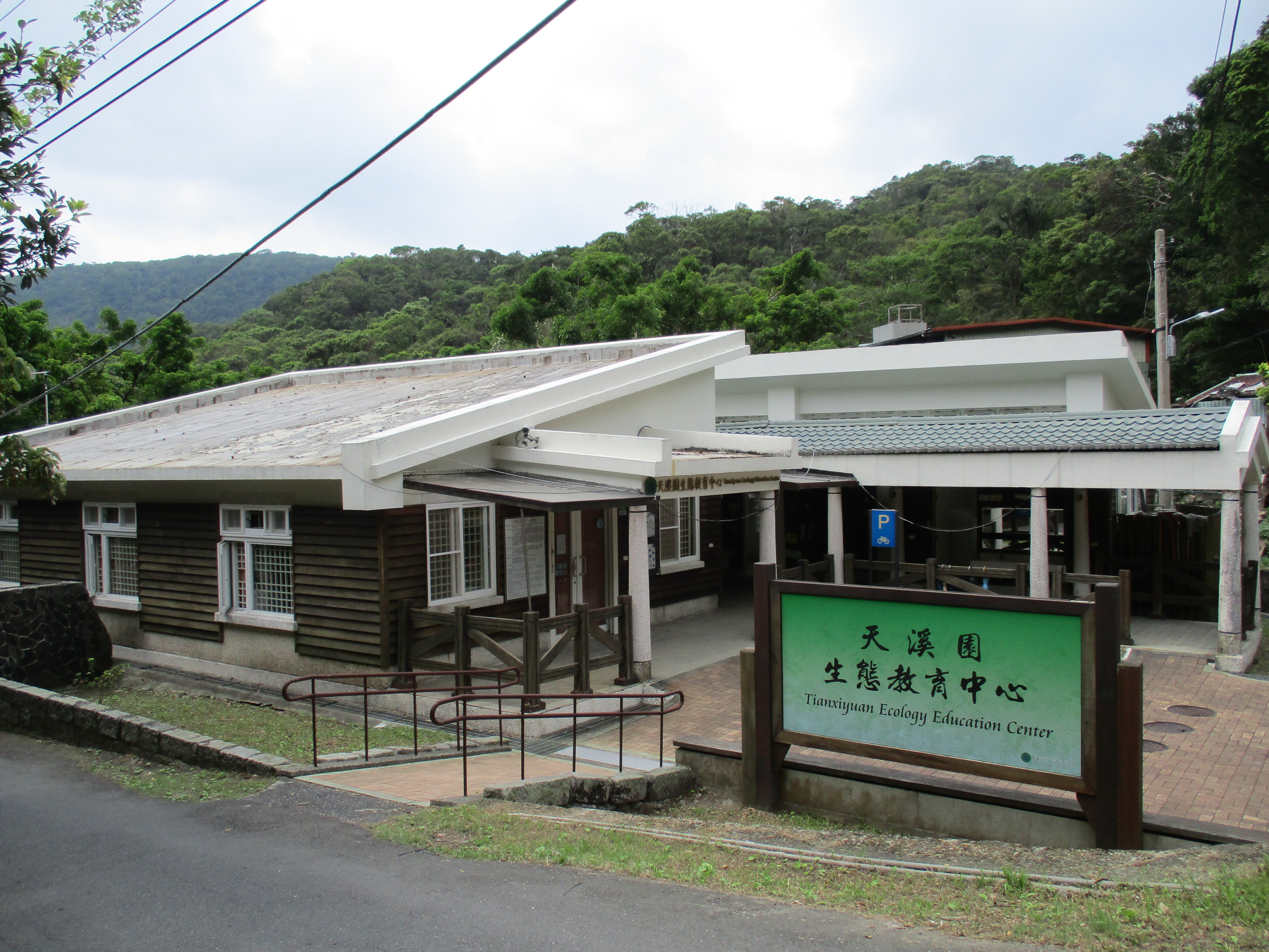
ecology center
At the T-intersection at Shengren Bridge at the end of the road, turn right and walk up the road a short distance for the entrance to Shengren Waterfall. The waterfall is located on the other side of the stream. A bridge that used to cross to the waterfall was washed away in a typhoon years ago. There is a short trail that leads down to the stream from the small parking lot.
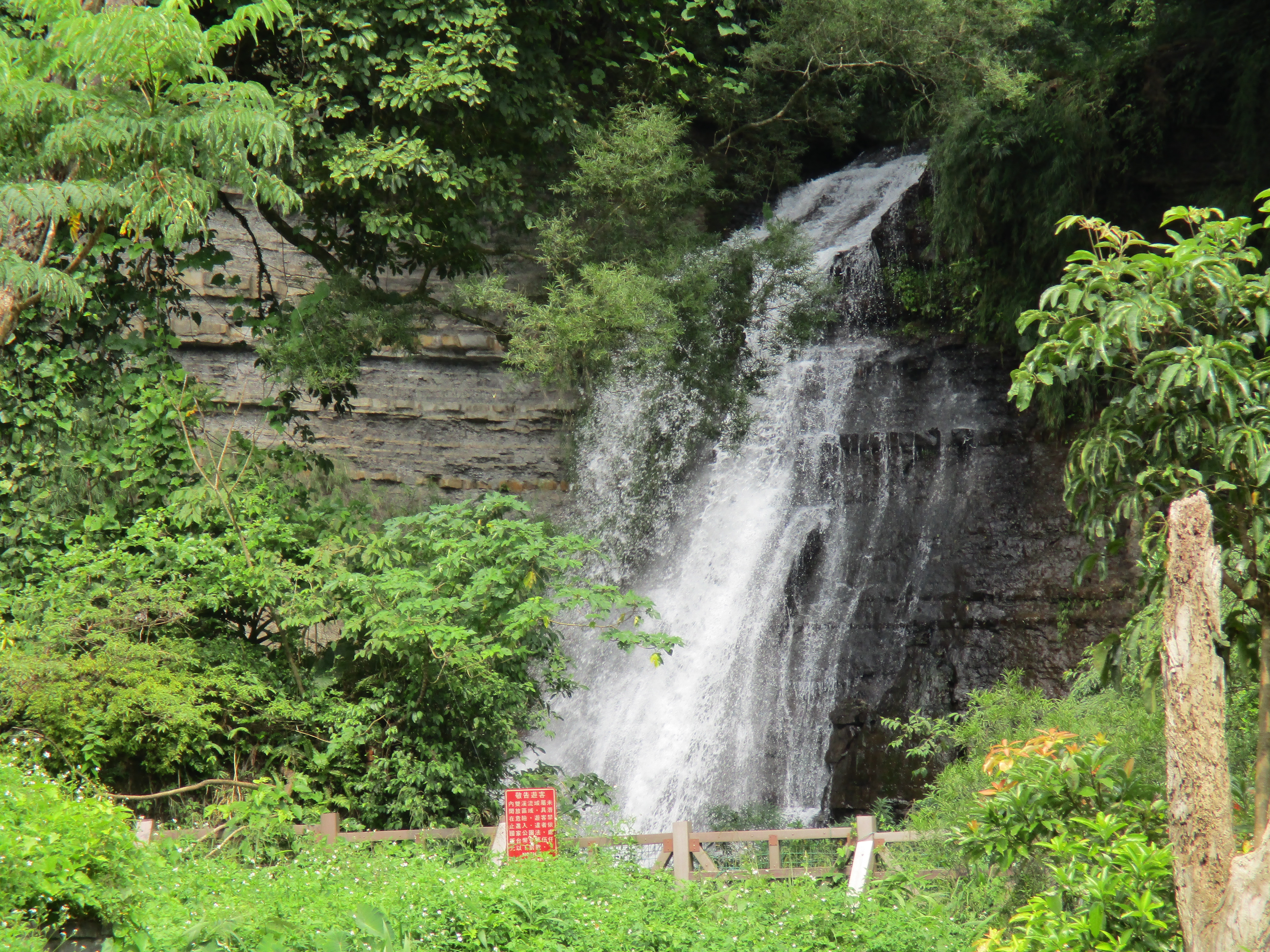
Shengren Waterfall
From Shengren Waterfall bus Xiao 18 goes to Shilin MRT Station every 30 minutes.
Map of the Hike
